Wednesday, June 7, 2017

Jun. 7 17

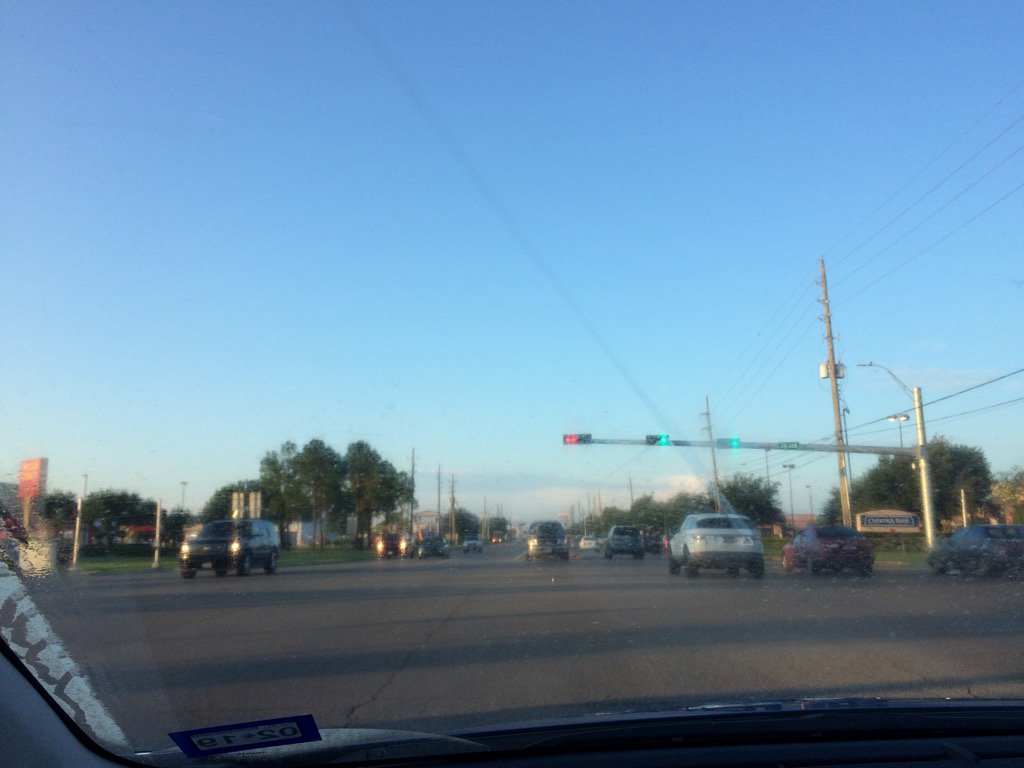
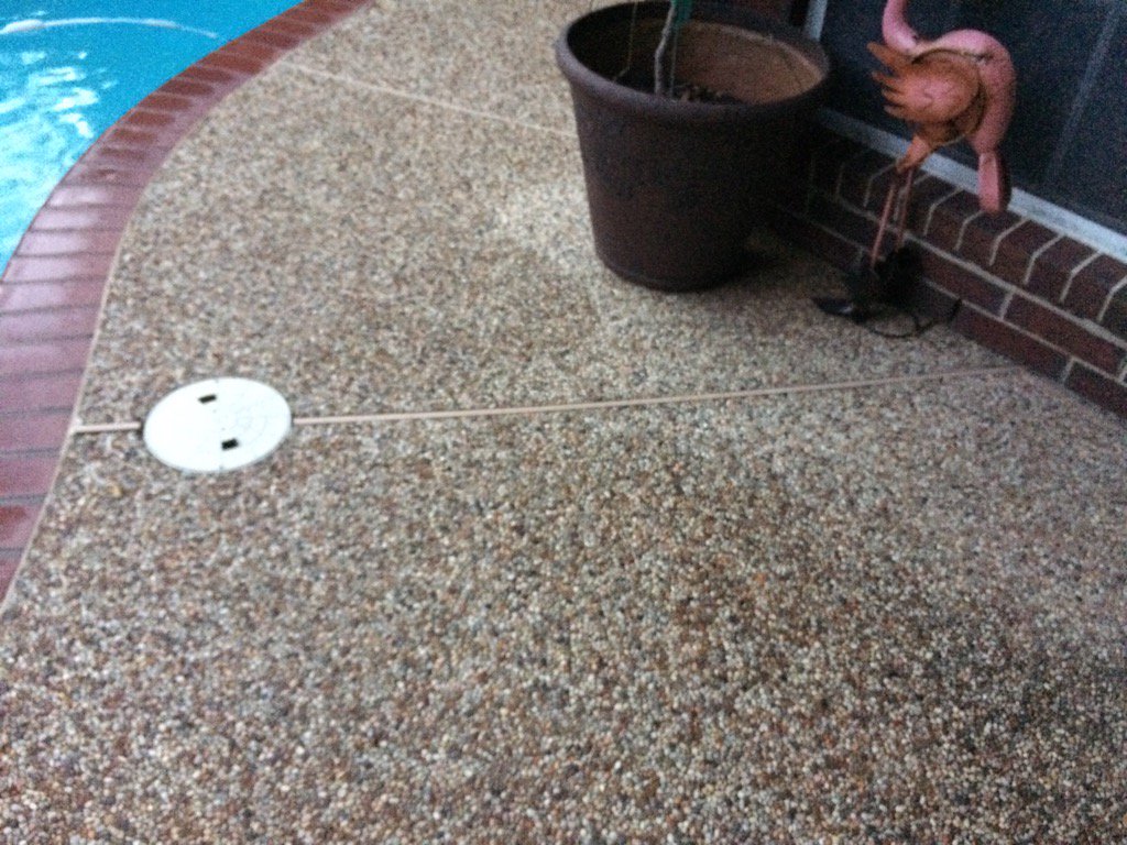
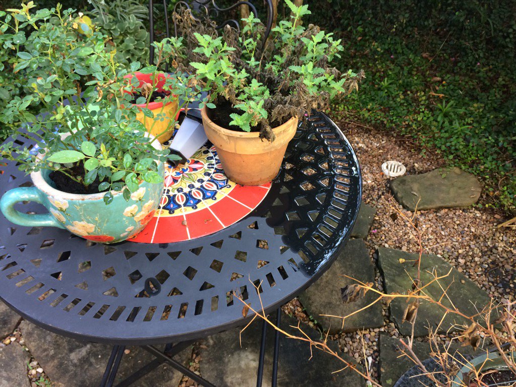
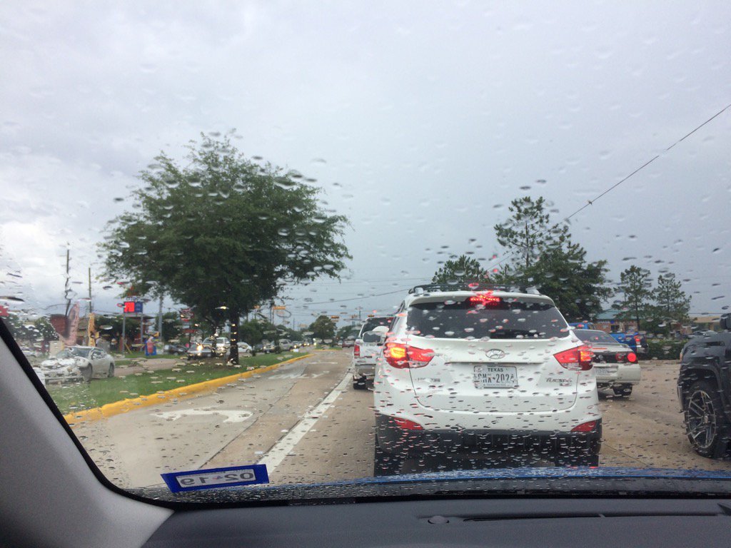
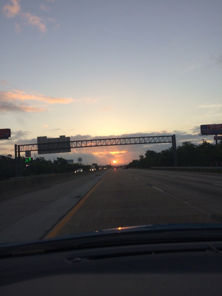
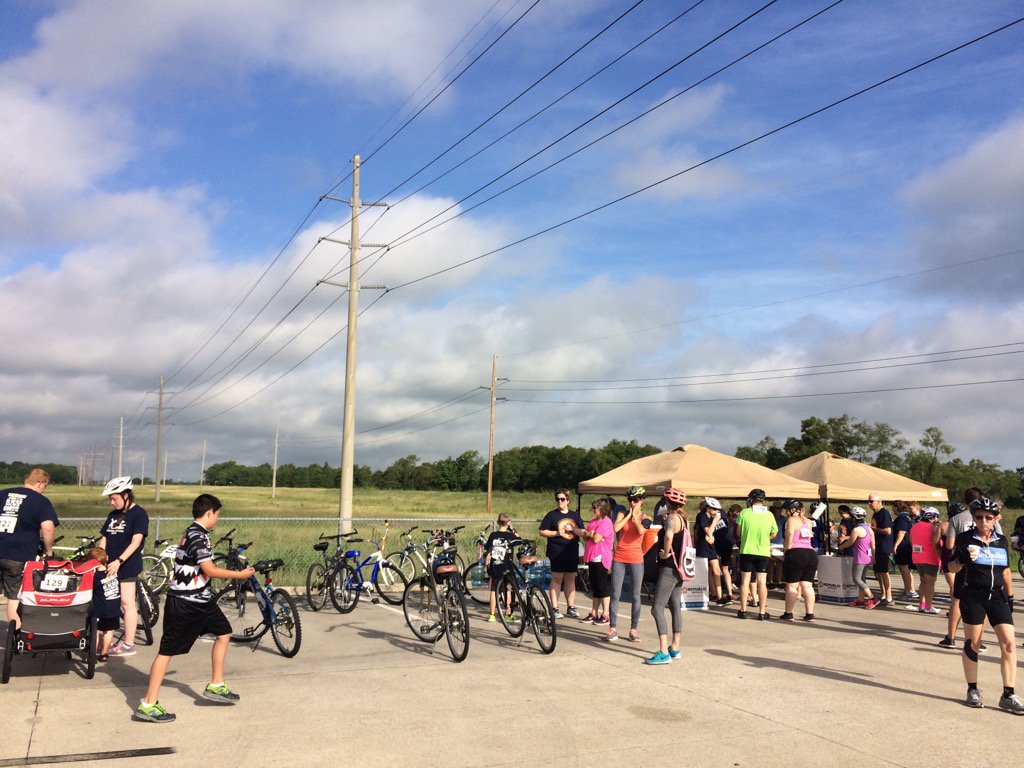
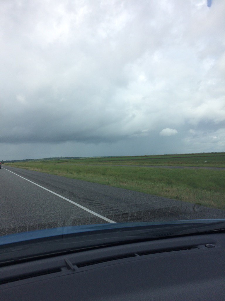
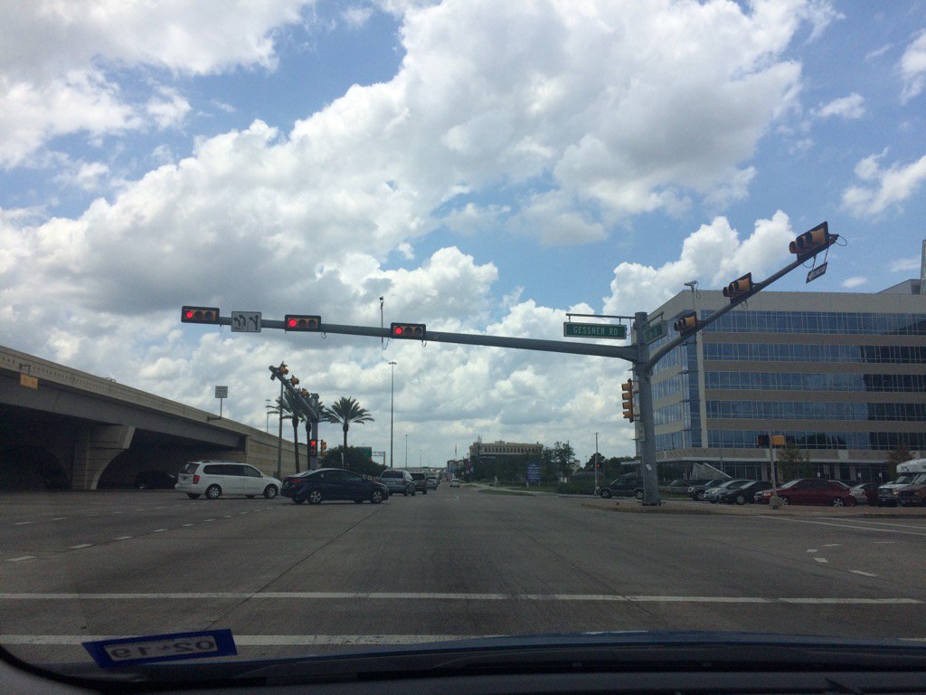
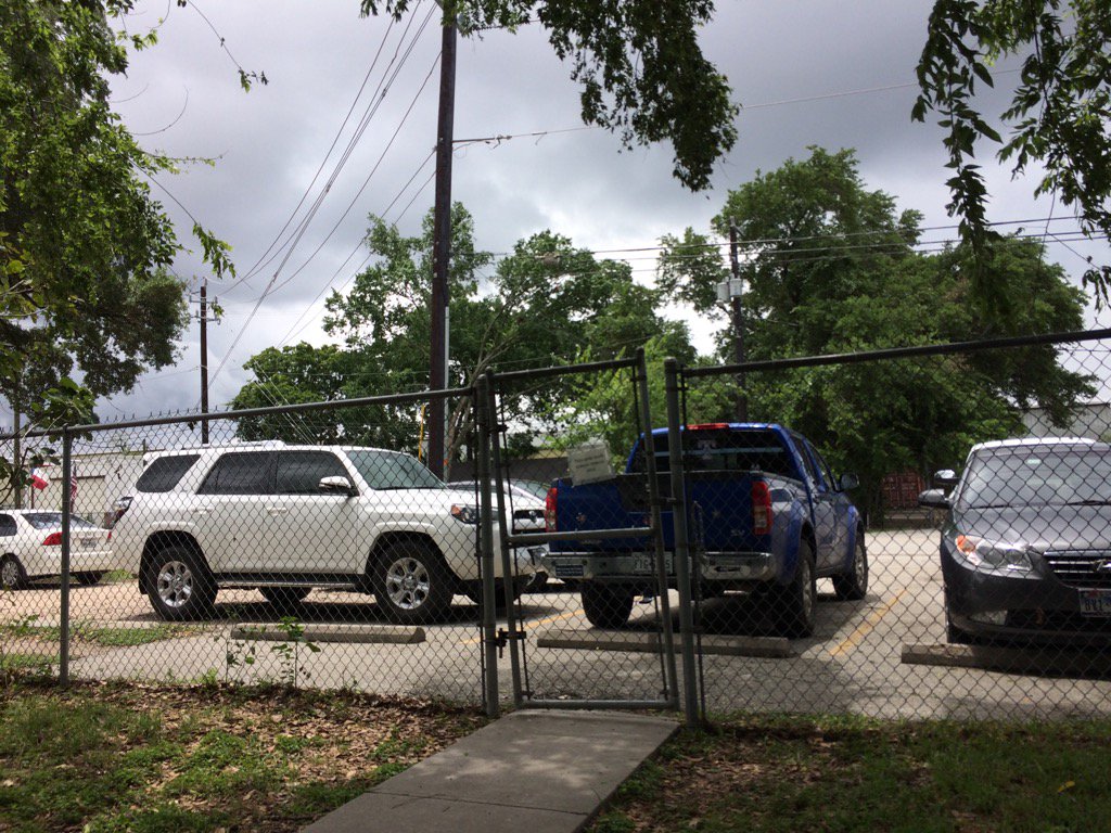
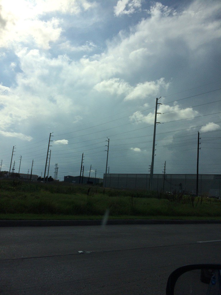
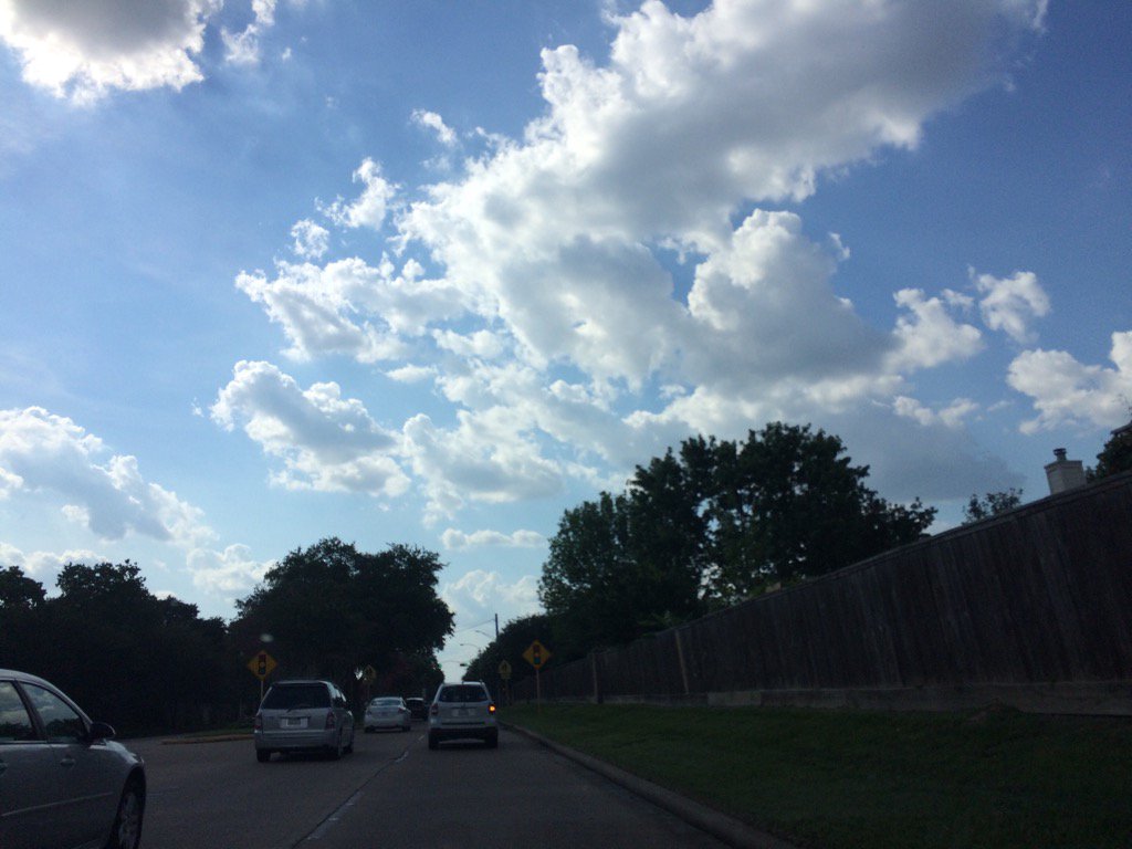
Northwest Houston, TX, during the early morning.
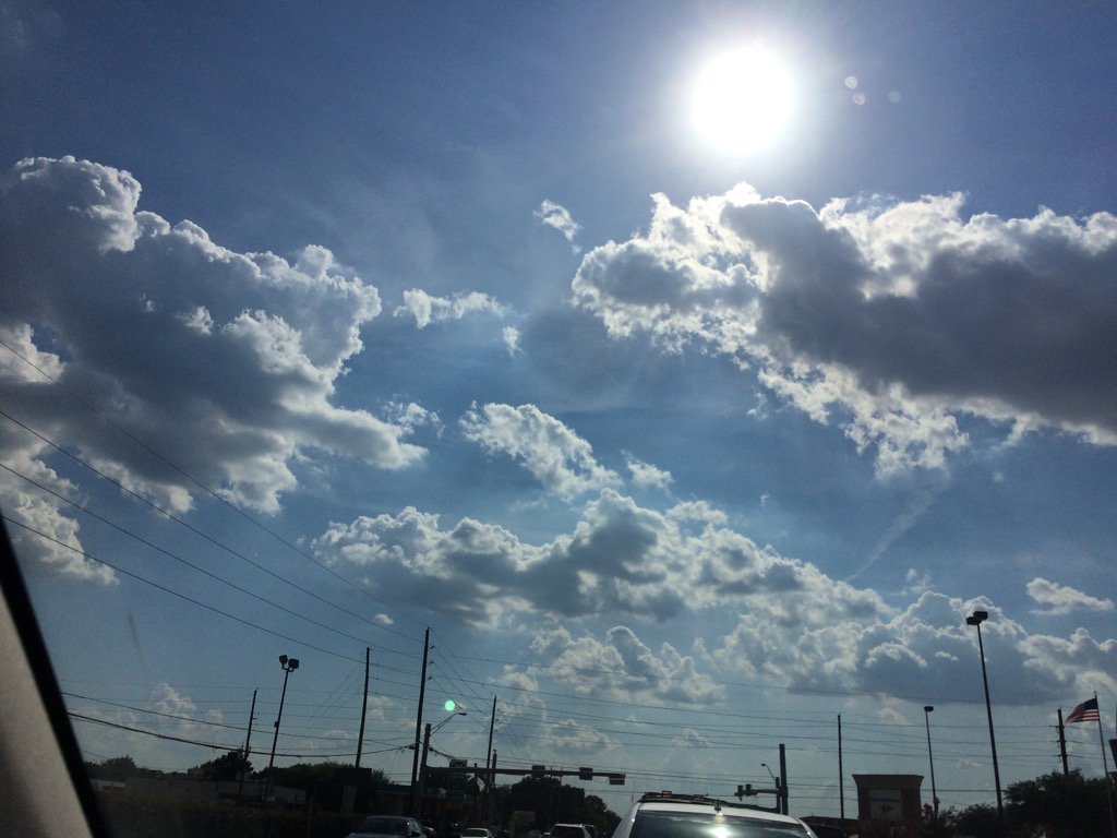
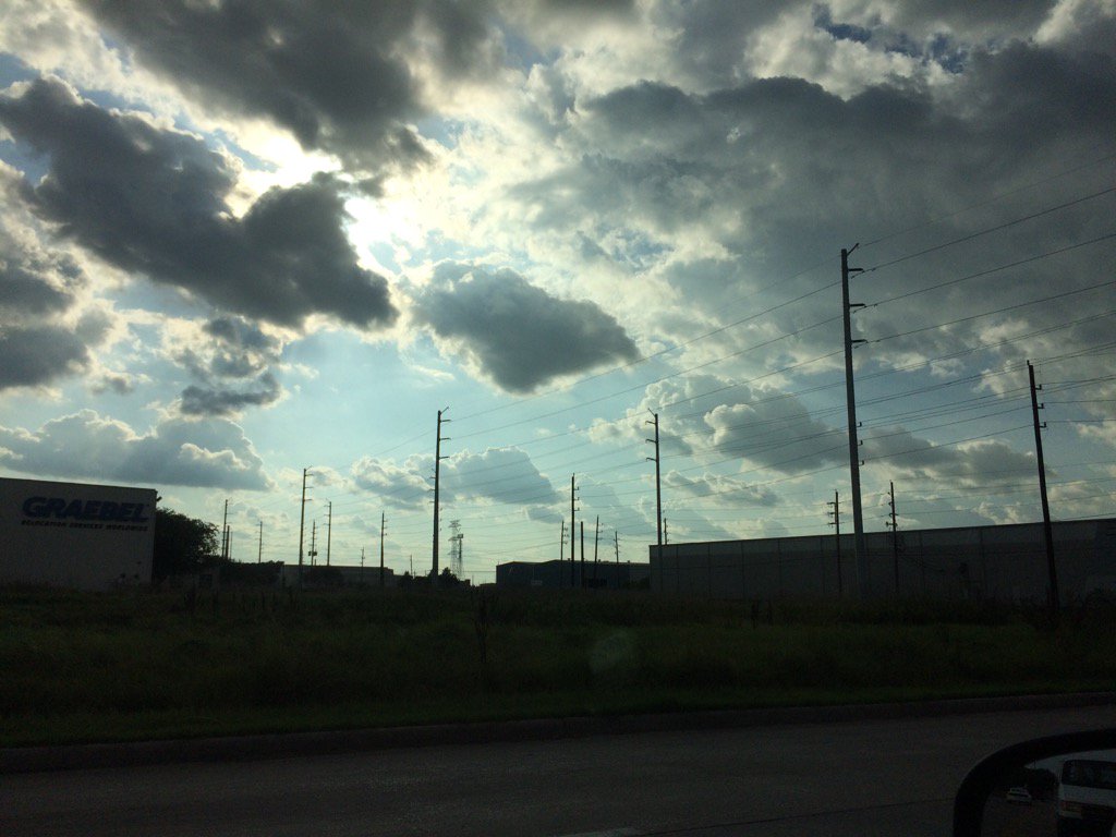
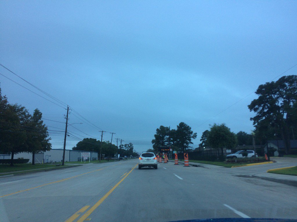
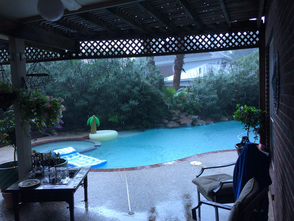
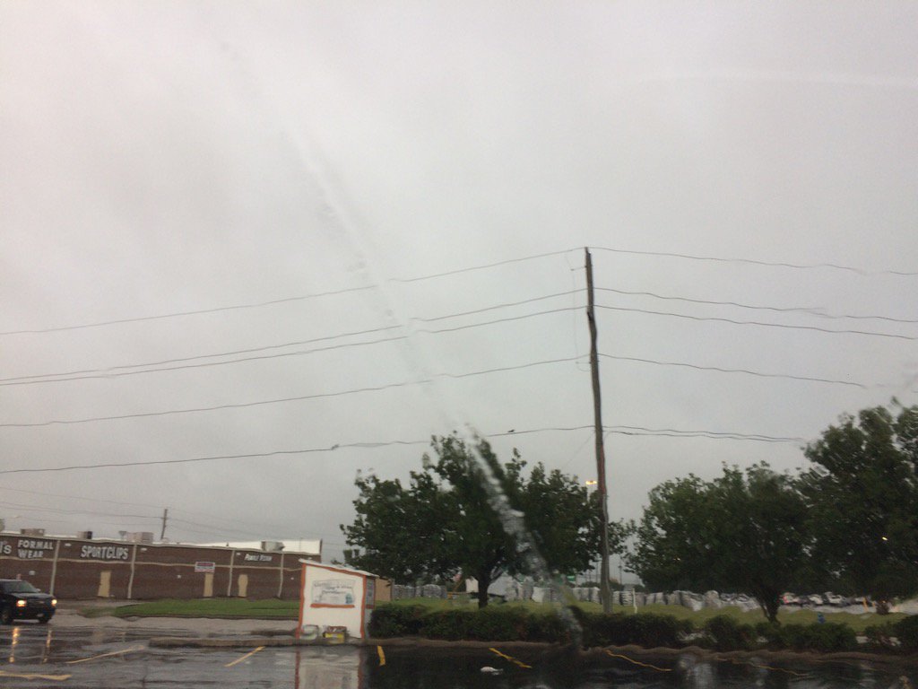
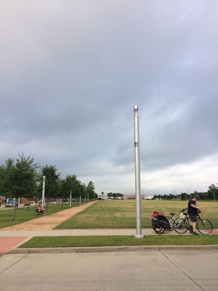
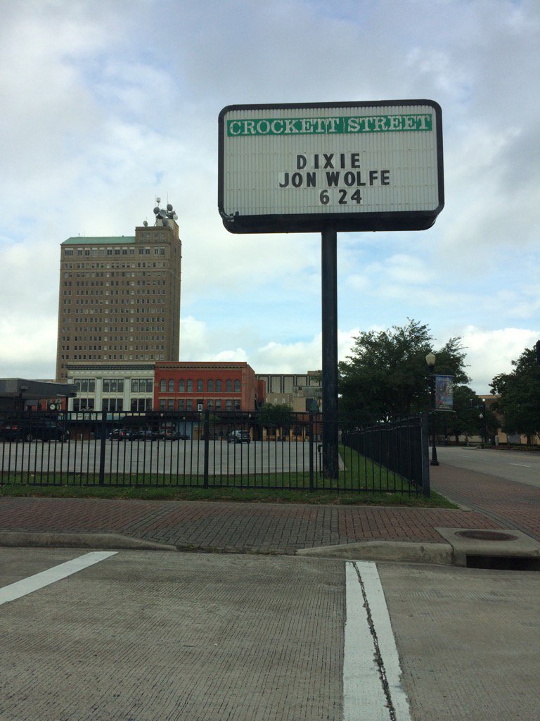
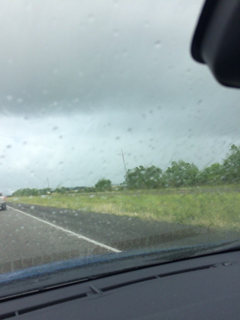
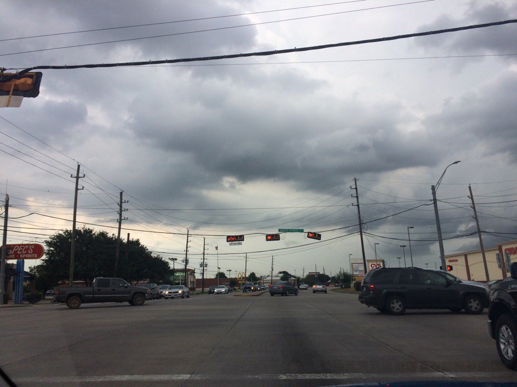
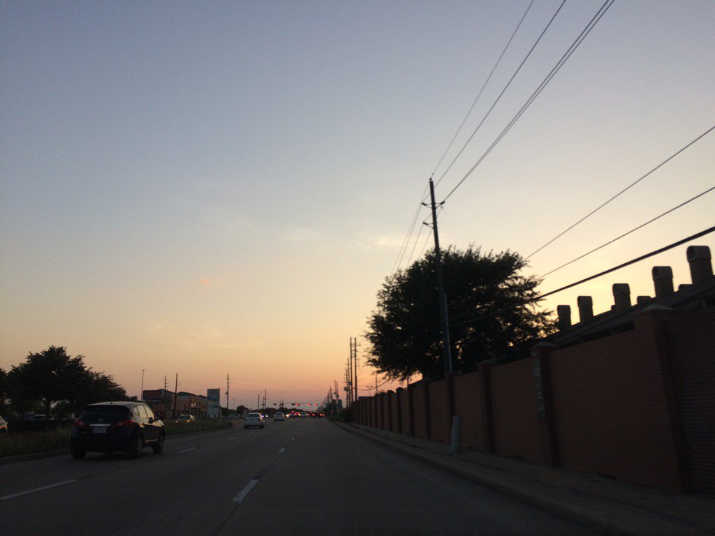
Northwest Houston, TX, during the late afternoon.
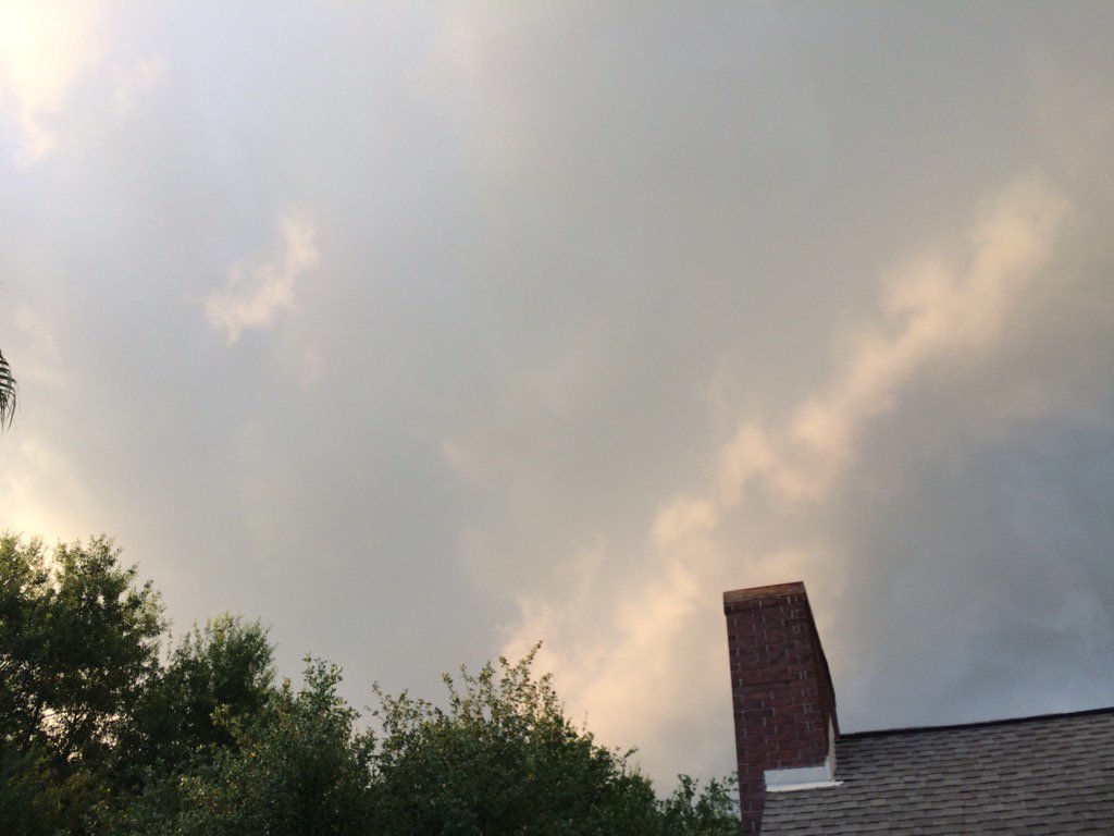
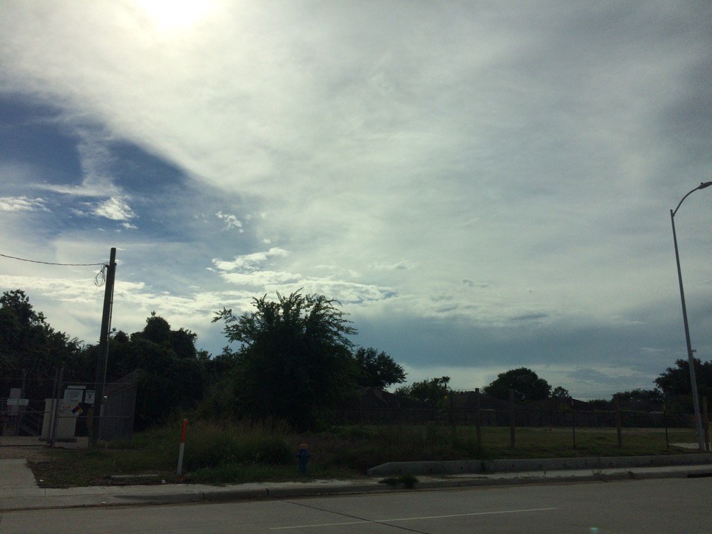
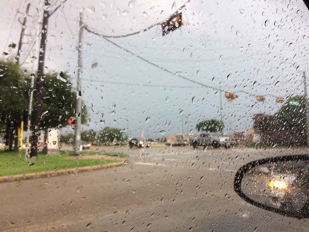
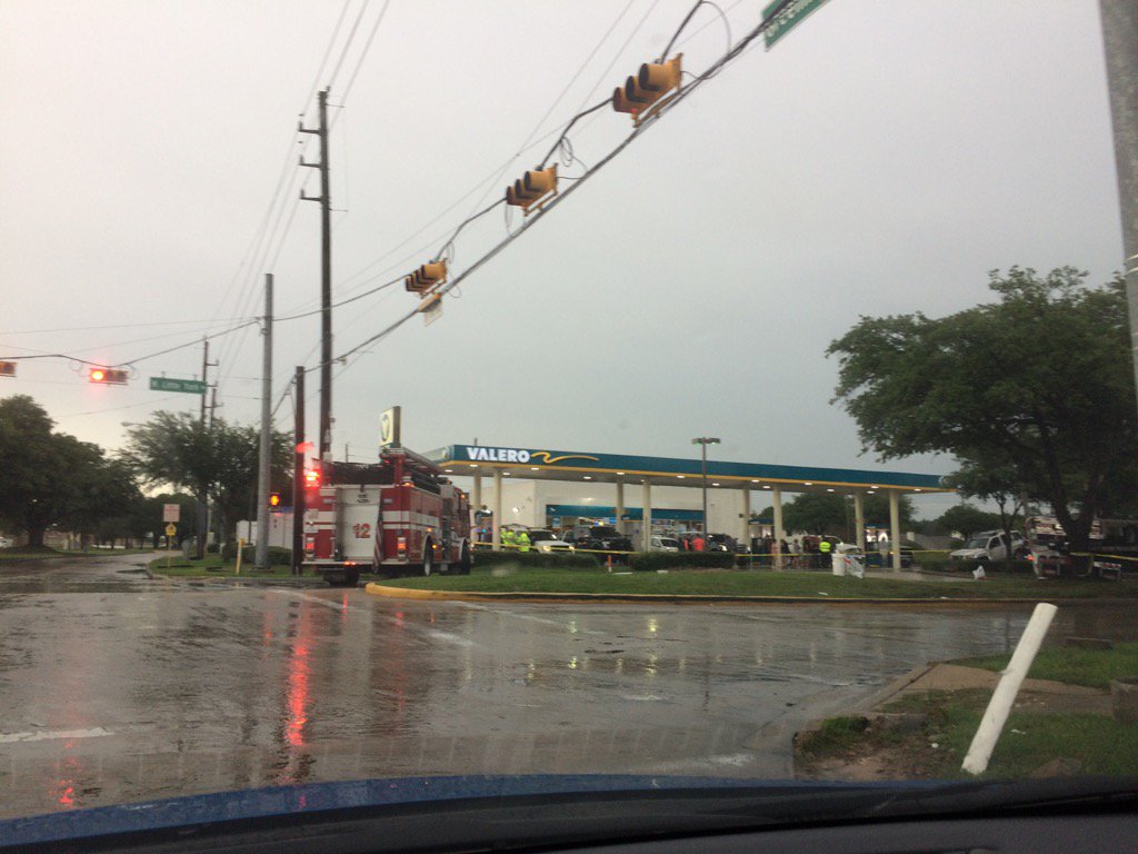
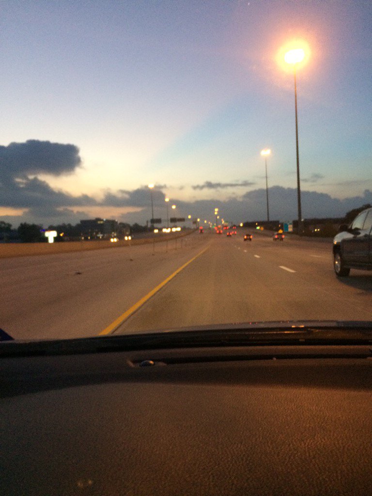
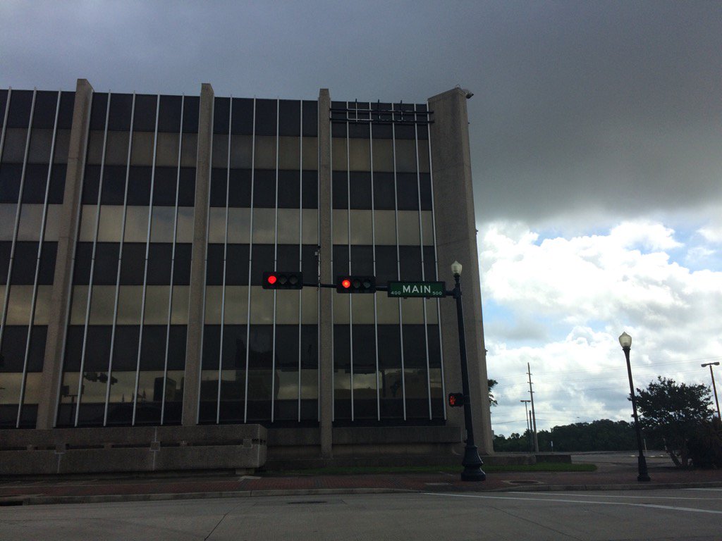
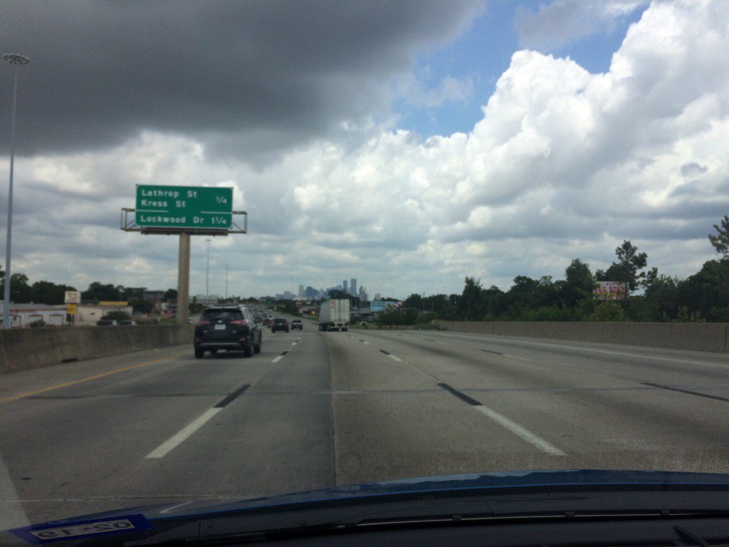
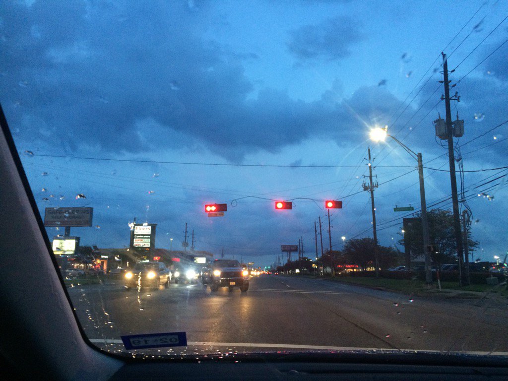
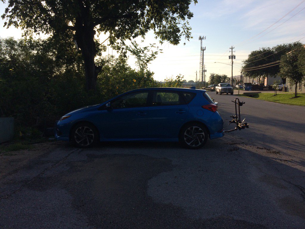
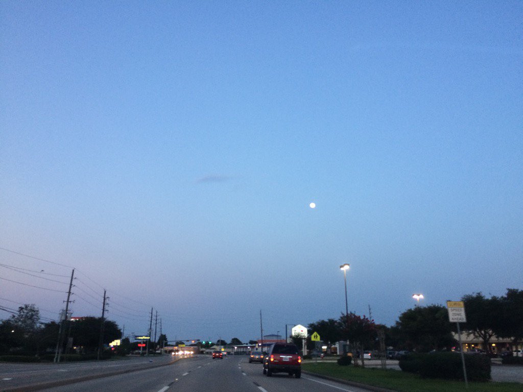
Northwest Houston, TX, during the early evening.
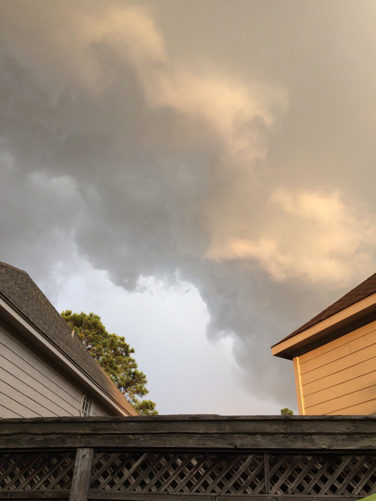
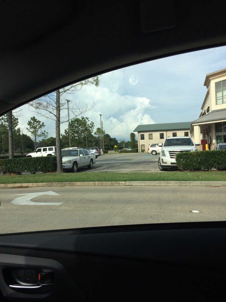
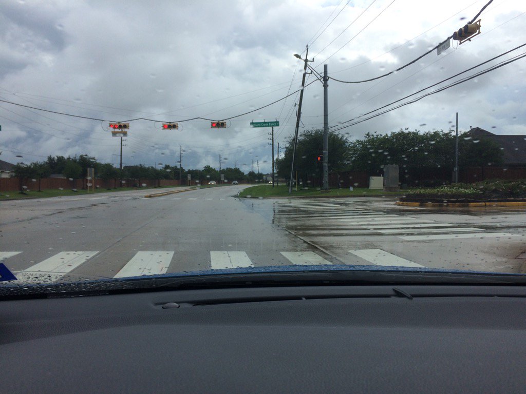
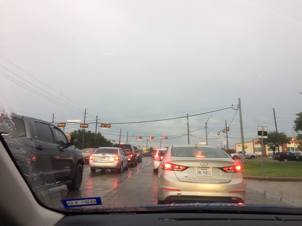
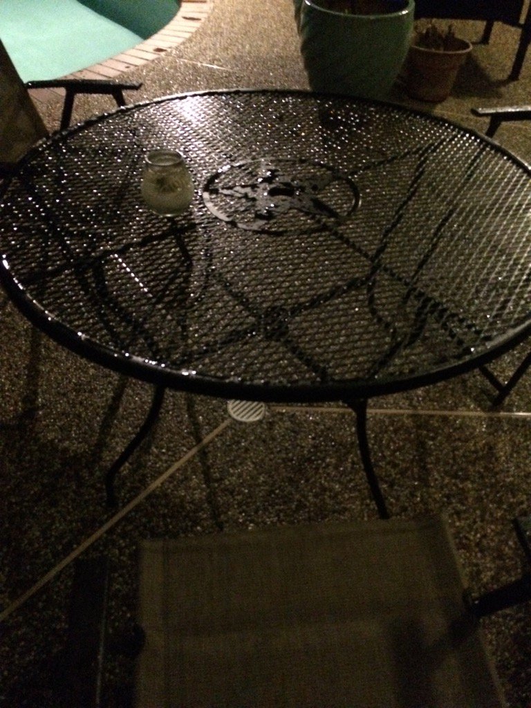
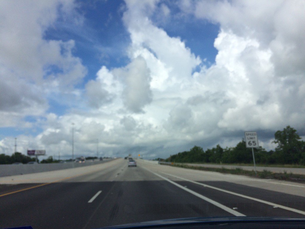
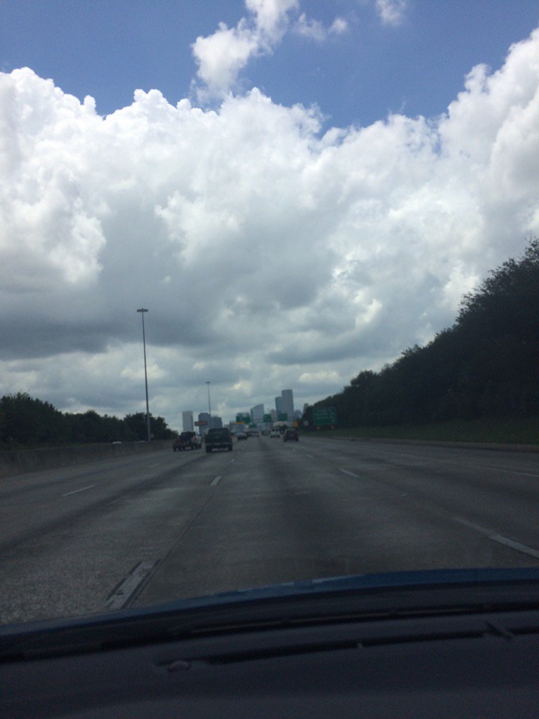
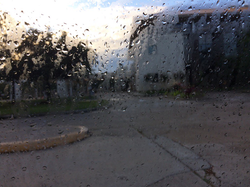
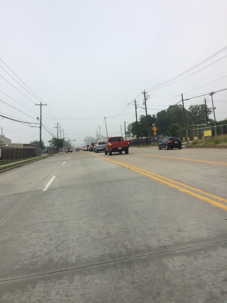
Northwest Houston, TX, during the late evening.


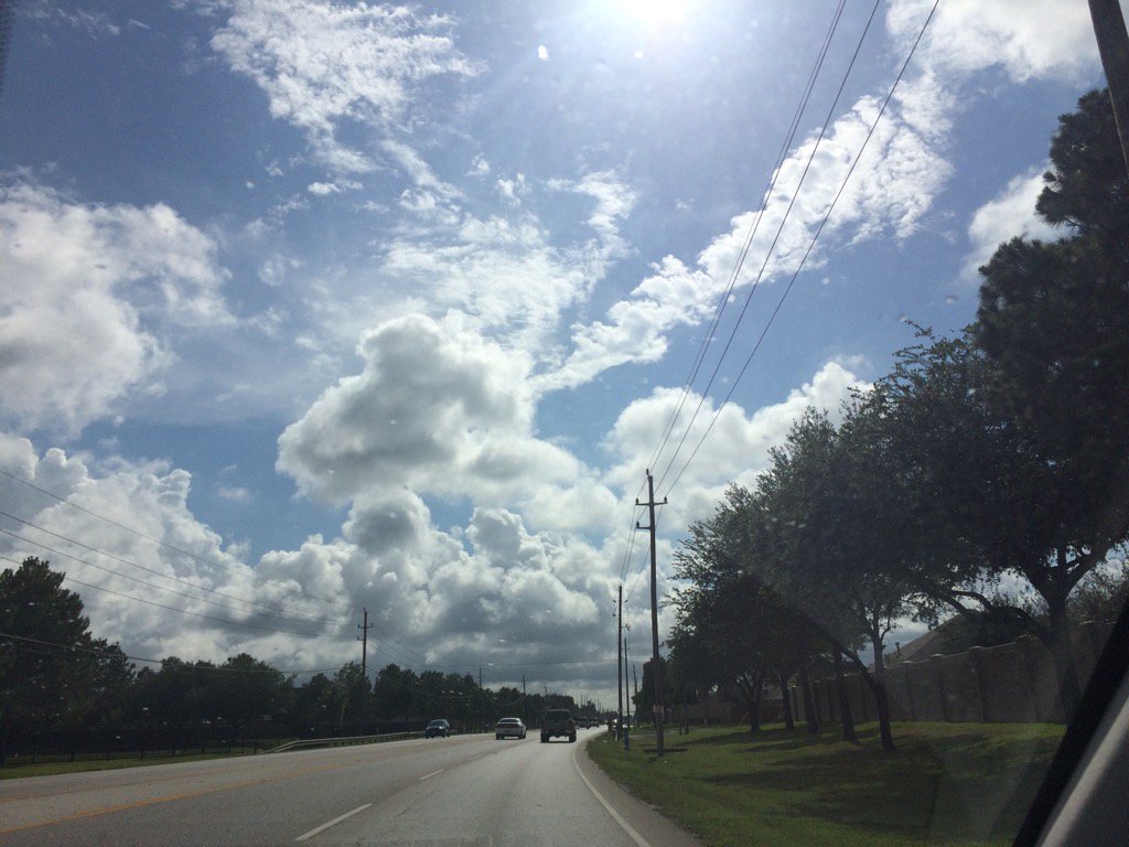
Summary: The day was sunny, warm, and dry. There were reports of some isolated showers and thunderstorms near and maybe in the Houston, TX area. I didn't see, feel, or hear any rain drops. The clouds did look like they wanted to produce rain, when I was driving in and through Cypress, TX, during the early evening. The sky looked to be mostly clear, maybe clear during the morning and mostly clear during the late evening and night. Cumulus clouds looked to be scattered across the sky, during the afternoon and early evening. The wind speeds looked to be calm with maybe some moderate to moderately strong gusts. It felt warm during the morning, evening, and night. It felt very warm, almost hot, during the afternoon. There was an air quality alert for the next day, Thursday Jun. 8 17. There were no other watches, warnings, alerts, advisories, or weather statements issued for the Houston, TX area, that I know of. The low temps looked to be in the 70's with maybe a few 60's and the high temps looked to be in the 90's with maybe a few 80's, for the Houston, TX area.


Locations: Northwest Houston, TX and Cypress, TX.


Thoughts: It felt pretty warm today. Nothing much going on with the weather in Houston, TX, until early next week. I did hear about a possible gusty Saturday, or maybe Sunday, but that is a wait and see.


Area Forecast Discussion
Issued by NWS Houston/Galveston, TX

Home | Current Version | Previous Version | Text Only | Print | Product List | Glossary Off
Versions: 1 2 3 4 5 6 7 8 9 10 11 12 13 14 15 16 17 18 19 20 21 22 23 24 25 26 27 28 29 30 31 32 33 34 35 36 37 38 39 40 41 42 43 44 45 46 47 48 49 50

000
FXUS64 KHGX 072350
AFDHGX

Area Forecast Discussion
National Weather Service Houston/Galveston TX
650 PM CDT Wed Jun 7 2017

.AVIATION...
Deep northerly flow helping to bring some isolated showers down
into the area, but it does look like the cap is holding steady.
Not going with any mention of VCSH at this time as sunset nears
and the activity dies off. Otherwise, will be continuing with a
VFR forecast through tomorrow night. Only a brief mention of BR
for CXO toward Thurs morning. 41

&&

.PREV DISCUSSION... /ISSUED 400 PM CDT Wed Jun 7 2017/

Little bit of uncertainty in the short term forecast this
evening. Some of the short range guidance are bringing in showers
and thunderstorms across our northwestern zones late this
afternoon and into the evening hours, but a not so confident in
this trend based on how these models are initializing coverage-
wise. There is a small thunderstorm that has bubbled up just to
the north of Burleson and Brazos counties, but we will have to see
if coverage increases as we move through the afternoon. If these
showers and thunderstorms do develop, I would expect the chance
for isolated showers and thunderstorms to increase as we move into
the evening hours for our northwestern counties. As of now, based
off of radar trends, keeping PoPs on the lower side just because
of the lack of coverage and low confidence in the short range.

As surface high pressure continues to push in from the north
east, should begin to see our winds which are currently out of the
north become northeasterly overnight. Expecting low temperatures
tonight will be right below normal for this time of year with
lows in the mid-upper 60s inland and upper 60s to low 70s closer
to the coast. Thursday and Friday are looking to be on the drier
side as the surface high pressure remains in place. This will
allow for our high temperatures to reach into the upper 80s to
lower 90s.

Rain chances begin to rise Sunday morning as an area of
higher PWs push into the region with onshore flow that returns
Saturday. A higher pocket of PWs that is currently the Carribean
will push towards SE TX and will help to allow for some
convection to develop Sunday into Monday. The global models are
currently not as consistent on the timing of the precip, rather
carry PoPs between the Sunday into Monday period. These higher PW
values along with onshore flow helping to push in the seabreeze,
should aid in the shower and thunderstorm development. Behind the
precip on Monday, conditions dry out once again late Tuesday and
remain on the drier side through Thursday.

Hathaway

&&

.PRELIMINARY POINT TEMPS/POPS...
College Station (CLL)      65  88  65  89  68 /   0   0   0  10   0
Houston (IAH)              68  88  67  89  69 /   0   0   0   0   0
Galveston (GLS)            75  84  75  85  77 /   0   0   0   0   0

&&

.HGX WATCHES/WARNINGS/ADVISORIES...
TX...NONE.
GM...NONE.
&&

$$

Air Quality Alert

TXZ213-237-238-081915-

AIR QUALITY ALERT MESSAGE
TEXAS COMMISSION ON ENVIRONMENTAL QUALITY
RELAYED BY NATIONAL WEATHER SERVICE HOUSTON/GALVESTON TX
207 PM CDT Wed Jun 7 2017

...OZONE ACTION DAY THURSDAY...

THE TEXAS COMMISSION ON ENVIRONMENTAL QUALITY (TCEQ)...HAS ISSUED AN
OZONE ACTION DAY FOR THE HOUSTON...GALVESTON...AND BRAZORIA AREAS FOR
THURSDAY JUNE 8 2017.

ATMOSPHERIC CONDITIONS ARE EXPECTED TO BE FAVORABLE FOR PRODUCING
HIGH LEVELS OF OZONE POLLUTION IN THE HOUSTON...GALVESTON AND
SURROUNDING AREAS ON THURSDAY. YOU CAN HELP PREVENT OZONE POLLUTION BY
SHARING A RIDE...WALKING...RIDING A BICYCLE...TAKING YOUR LUNCH TO
WORK...AVOIDING DRIVE THROUGH LANES...CONSERVING ENERGY AND KEEPING YOUR
VEHICLE PROPERLY TUNED.

FOR MORE INFORMATION ON OZONE:

OZONE: THE FACTS (WWW.TCEQ.TEXAS.GOV/AIRQUALITY/MONOPS/OZONEFACTS.HTML)
EPA AIR NOW:
(WWW.AIRNOW.GOV/INDEX.CFM?ACTION=AIRNOW.LOCAL_CITY&CITYID=236)
TAKE CARE OF TEXAS: (WWW.TAKECAREOFTEXAS.ORG/AIR/AIRQUALITY)

$$

Jun. 6 17

Northwest Houston, TX, during the early morning.
Northwest Houston, TX, during the early evening.


Northwest Houston, TX, during the late evening.


Summary: The day was sunny, warm, and mostly dry. There looked to be a few isolated light to moderately heavy showers and maybe thunderstorms with a few scattered heavy showers, or thunderstorms on the east, south, maybe parts of the west side of Houston, TX. I didn't see any rain until the late evening at my house in northwest Houston, TX when a moderate shower, or maybe showers passed through along a line of light to heavy showers and thunderstorms that passed from the east side going west, through most of Houston, TX. The sky went from mostly clear during the morning to partly cloudy during the afternoon, then mostly cloudy during the evening and maybe clear during the night. The wind speeds were calm with moderate to moderately strong gusts with maybe some really strong gusts. It felt warm during the morning, evening, and night. It felt very warm, almost hot during the afternoon. There was a hazardous weather statement issued by NOAA for the Houston, TX area, for today. There were no other watches, warnings, alerts, advisories, or weather statements issued for the Houston, TX area, that I know of. The low temps looked to be in the 70's and the high temps looked to be in the 80's, or maybe 90's, or maybe only some 90's, for the Houston, TX area. 


Locations: Northwest Houston, TX.


Thoughts: It is starting to feel hot again. And it looks like the rain is gone for now, for the Houston, TX area. There is still a chance for rain, for the Houston, TX area early next week, but a break for now.


Hazardous Weather Outlook

Hazardous Weather Outlook
National Weather Service Houston/Galveston TX
610 AM CDT Tue Jun 6 2017

TXZ163-164-176>179-195>200-210>214-226-227-235>238-071300-
Austin-Brazoria-Brazos-Burleson-Chambers-Colorado-Fort Bend-
Galveston-Grimes-Harris-Houston-Jackson-Liberty-Madison-Matagorda-
Montgomery-Polk-San Jacinto-Trinity-Walker-Waller-Washington-
Wharton-
610 AM CDT Tue Jun 6 2017

This hazardous weather outlook is for portions of Southeast Texas..

.DAY ONE...Today and Tonight

There is a chance of thunderstorms through this afternoon with
best chances along and east of the Highway 59/Interstate 69
corridor. Isolated strong storms could produce gusty winds and
locally heavy rainfall.

.DAYS TWO THROUGH SEVEN...Wednesday through Monday

No hazardous weather is expected at this time.

.SPOTTER INFORMATION STATEMENT...

Spotter activation is not anticipated.

$$

Monday, June 5, 2017

Jun. 5 17

Northwest Houston, TX, during the early morning.

Northwest Houston, TX, during the early evening.


Summary: The day was warm, mostly cloudy, and a little wet. Isolated to scattered showers and thunderstorms once again where moving in and around the Houston, TX, area, during the morning, afternoon, evening, and maybe night. I am pretty sure that I heard some low rumbles of thunder and it looked like my house in northwest Houston, TX got some moderate rain during the early morning and the place where I work in northwest Houston, TX looked to maybe have gotten some moderately heavy rain during the late morning. I am not really sure if I got any rain though. Most areas south, west, and north of the Houston, TX area looked to have gotten at least a few inches of rain. The sky looked to have stayed mostly cloudy from the early morning, through the evening and maybe night. The wind speeds looked to be calm with maybe some moderate to moderately strong wind gusts. It felt warm during the morning, evening, and night. It felt very warm during the afternoon. I saw s flood advisory being issued for the Houston, TX area, sometime during the day. There was also a hazardous weather statement issued by NOAA for the day. I didn't hear about, or see any other watches, warnings, advisories, alerts, or weather statements being issued for the Houston, TX area. The low temps look to be in the 70's and the high temps looked to be in the 80's with maybe some 90's, for the Houston, TX area. I didn't hear about, or see any flooding, or storm damages, from the showers and thunderstorms that passed through the Houston, TX area. 


Locations: Northwest Houston, TX.


Thoughts: Well it is the last day for the Houston, TX area to get rain tomorrow. Which is fine because Houston, TX has been getting a lot of rain and they probably want a break. Also apparently there is a cold front about to come through sometime either Tuesday, or Wednesday.


Area Forecast Discussion
Issued by NWS Houston/Galveston, TX

Home | Current Version | Previous Version | Text Only | Print | Product List | Glossary Off
Versions: 1 2 3 4 5 6 7 8 9 10 11 12 13 14 15 16 17 18 19 20 21 22 23 24 25 26 27 28 29 30 31 32 33 34 35 36 37 38 39 40 41 42 43 44 45 46 47 48 49 50

000
FXUS64 KHGX 060305
AFDHGX

Area Forecast Discussion
National Weather Service Houston/Galveston TX
1005 PM CDT Mon Jun 5 2017

.UPDATE...
A couple of early evening storms over Burleson and Polk Counties
that haven`t got the memo yet to just die out. With the loss of
heating the feeling is that these storms should gradually weaken
through the 10 PM hour. The upper trough axis is laid right over
eastern Texas and this will advance east and be over Louisiana
tomorrow...placing us on its backside through mid-week. A slow
decrease in overall moisture albeit a decrease...with slightly
higher PVA moving in from the ArkLaTex region...will keep higher
end POPs alive generally across the eastern forecast area tomorrow.
As was the case early this morning...there are still moderate
chances that Gulf-based convection may fire back up during the
pre-dawn hours. Tuesday minTs in the average lower 70s...maxTs in
the average mid to upper 80s. 31


&&

.PREV DISCUSSION... /ISSUED 632 PM CDT Mon Jun 5 2017/

AVIATION...
Scattered showers and an isolated storm or two will continue into
this evening. Generally VFR conditions are expected, with some
MVFR conditions possible if the stronger showers/storms move right
overhead. VRB winds will become light northerly this evening as a
"cold" front pushes through. There could potentially be some
lower cigs again Tuesday morning, but left most sites at SCT since
confidence is low. Another round of showers and storms is
expected Tuesday, with the greatest coverage expected to the east
and south of KIAH. 11

&&

PREV DISCUSSION... /ISSUED 336 PM CDT Mon Jun 5 2017/

DISCUSSION...
S/W over Matagorda Bay this afternoon with RW/TSRA developing
across the northern areas and sagging southward. Storms will
probably move into the Metro area between 5-8 pm on a weakening
trend. Brief heavy downpours and spotty in nature. Not the
widespread heavy rainfall scenario/pattern of yesterday and the
day before. Loss of heating should bring the demise of the storms
between 7-9 pm. Upper trough axis/`cold` front moves through and
into the Gulf by midnight so will need to keep an eye on s/w
rotating around the back side of the low late tonight/Tuesday for
redevelopment of storms. Scattered to isolated in nature with
greater coverage possible Tuesday in the eastern half of the area.
Soundings support strong gusty winds as the s/w moves from north
to south through the area. May be in marginal severe threat for
damaging winds primarily afternoon hours. Residual moisture
Tuesday night/Wednesday morning may help re-fire a few storms
over the coastal waters otherwise the area should be relatively
quiet Wednesday with weak high pressure settling in over NETX then
sliding east Thursday. Areas near Matagorda Bay may have a slight
chance Thursday PM as moisture starts to return and upper trough
axis lingers. Onshore flow Friday through Sunday with warm
temperatures and building cap. Pleasant June weather for those few
days. Sunday into Monday rain chances increase as plume of
tropical moisture moves across the Gulf and into SETX. 45

MARINE...
Only light rain remains over the gulf this afternoon as this
mornings stronger thunderstorm activity has weakened and moved out
of the area. Some re-development may occur overnight as a weak front
moves off the coast.

Winds are currently onshore near 5 knots, however offshore winds
will develop early Tuesday morning behind the front. High pressure
building in from the plains will help to swing the winds around to
the northeast by Wednesday. Caution conditions are possible Tuesday
night and Wednesday morning when the gradient tightens between the
high pressure ridge and a low pressure system over the Southern
Atlantic coastal areas. The winds should diminish Wednesday night
and Thursday as the high pressure ridge settles over the region and
onshore winds should resume by Friday. 44

&&

.PRELIMINARY POINT TEMPS/POPS...
College Station (CLL)      70  87  68  89  66 /  30  30   0  20   0
Houston (IAH)              71  88  70  89  67 /  50  50  10  10   0
Galveston (GLS)            75  85  75  85  75 /  50  50  20  10   0

&&

.HGX WATCHES/WARNINGS/ADVISORIES...
TX...NONE.
GM...NONE.
&&

$$

Discussion...31/11

Hazardous Weather Outlook

Hazardous Weather Outlook
National Weather Service Houston/Galveston TX
906 AM CDT Mon Jun 5 2017

TXZ163-164-176>179-195>200-210>214-226-227-235>238-061415-
Austin-Brazoria-Brazos-Burleson-Chambers-Colorado-Fort Bend-
Galveston-Grimes-Harris-Houston-Jackson-Liberty-Madison-Matagorda-
Montgomery-Polk-San Jacinto-Trinity-Walker-Waller-Washington-
Wharton-
906 AM CDT Mon Jun 5 2017

This hazardous weather outlook is for portions of Southeast Texas..

.DAY ONE...Today and Tonight

A slow moving upper level disturbance will bring periods of
showers and thunderstorms to the region today. Some of the rain
will be locally heavy and minor flooding will be possible. Some of
the stronger storms will produce frequent cloud to ground
lightning and wind gusts to around 35 to 40 mph. With the heavy
rainfall the last few days some areas have wet soils and the
strong gusty winds could topple weakly rooted trees.

.DAYS TWO THROUGH SEVEN...Tuesday through Sunday

A chance of thunderstorms will linger on Tuesday with again the
stronger storms capable of producing gusty winds.

.SPOTTER INFORMATION STATEMENT...

Spotter activation will not be needed.

$$

Sunday, June 4, 2017

Jun. 4 17


Northwest Houston, TX, during the late morning.
Northwest Houston, TX, during the early afternoon.
Northwest Houston, TX, during the mid-afternoon.
Katy, TX, during the mid-afternoon.
Katy, TX, during the late afternoon.
Katy, TX during the early eveniing.
Northwest Houston, TX, during the early evening. (I am not sure if this incident was storm related, or not.)
Cypress, TX, during the early evening.
Northwest Houston, TX, during the early night.

Katy, TX, I think, during the early evening. (Sorry that the video is sideways.)

Summary: The day was warm, wet, and mostly cloudy. Isolated to scattered showers and thunderstorms moved from south to north and from east to west across the Houston, TX area, during the morning, afternoon, evening, and maybe night. I witnessed a thunderstorm at my house during the early morning and early and mid-afternoon. A thunderstorm passed by when I was in Katy, TX during the early evening. Light to moderate rain followed me from Katy, TX to my house in northwest Houston, TX, during the evening. That was the last rain shower/storm that I saw, was during the evening. The sky stayed mostly cloudy, turning cloudy when it rained. The wind speeds were calm with moderate to moderately strong wind gusts. It felt warm during the early morning, thru the night. There were several flash flood watches, warnings, and advisories. There was a hazardous weather statement issued by NOAA for flooding, funnel clouds, and possible hail. The low temps looked to be in the 70's and the high temps looked to be in the 80's. There were reports of flooded roads. I didn't see any flooding. There were no reports of storm damage, that I know of.


Locations: Northwest Houston, TX. Cypress, TX, and Katy, TX.


Thoughts: I enjoy seeing the line of showers and thunderstorms move over the Houston, TX area.


Hazardous Weather Outlook

Hazardous Weather Outlook
National Weather Service Houston/Galveston TX
513 AM CDT Sun Jun 4 2017

TXZ163-164-176>179-195>200-210>214-226-227-235>238-051015-
Austin-Brazoria-Brazos-Burleson-Chambers-Colorado-Fort Bend-
Galveston-Grimes-Harris-Houston-Jackson-Liberty-Madison-Matagorda-
Montgomery-Polk-San Jacinto-Trinity-Walker-Waller-Washington-
Wharton-
513 AM CDT Sun Jun 4 2017

This hazardous weather outlook is for portions of Southeast Texas..

.DAY ONE...Today and Tonight

A slow moving upper level disturbance will bring periods of
showers and thunderstorms to the region today. Some of the rain
will be locally heavy and minor flooding will be possible. Some of
the stronger storms could produce a brief funnel cloud, frequent
cloud to ground lightning and wind gusts around 35 mph.

.DAYS TWO THROUGH SEVEN...Monday through Saturday

An upper level disturbance will bring scattered showers and
thunderstorms to the region. Some of the storms could again
produce locally heavy rain and minor flooding. The stronger storms
could again produce brief gusty winds.

A chance of thunderstorms will linger on Tuesday with again the
stronger storms capable of producing gusty winds.

.SPOTTER INFORMATION STATEMENT...

Spotter activation will not be needed.

$$

Jun. 3 17


East TX, on I-10, on the way to Beaumont, TX, during the early morning.
Beaumont, TX, during the early morning.

Beaumont, TX, during the mid-morning.


Downtown Beaumont, TX, during the mid-morning.


East, TX, on I-10, headed back towards Houston, TX, during the late morning.


Near downtown Houston, TX, during the early afternoon.

West Houston, TX, during the early afternoon.
Cypress, TX, during the early evening. 
Northwest Houston, TX, during the early evening.

Cypress, TX, during the late evening.

Northwest Houston, TX, during the late evening.
East, TX, on I-10, headed towards Houston, TX, from Beaumont, TX, during the late morning.


Summary: The day was warm, mostly cloudy, and partly wet. Isolated to scattered light to heavy showers and thunderstorms passed up through the Houston, TX and Beaumont, TX area, from the south, during the morning, afternoon, evening, and night. The wind speeds looked to be calm with maybe some moderate to moderately strong gusts. The sky stayed mostly cloudy from the early morning, through the in the Houston, TX area and probably the Beaumont, TX area. It felt warm during the morning, evening, and night. It felt very warm during the afternoon. There was a flood advisory and a special weather statement issued, think, for the Houston, TX area, as well as a hazardous weather statement by NOAA, for the Houston, TX area. I don't know about the Beaumont, TX area. I didn't witness, or hear about any flooding, or storm damage to the Houston, TX, or Beaumont, TX area. I did witness some ferocious lightning with some loud rumbles of thunder in Northwest Houston, TX and Cypress, TX, during the late evening and early night. 


Locations: Houston, TX, Cypress, TX, and Beaumont, TX.


Thoughts: Lots of heavy rain and lighting going on. I am glad that there wasn't any lightning at the bike event that I went to in Beaumont, TX.


Area Forecast Discussion 
Issued by NWS Houston/Galveston, TX

Home | Current Version | Previous Version | Text Only | Print | Product List | Glossary Off
Versions: 1 2 3 4 5 6 7 8 9 10 11 12 13 14 15 16 17 18 19 20 21 22 23 24 25 26 27 28 29 30 31 32 33 34 35 36 37 38 39 40 41 42 43 44 45 46 47 48 49 50

000
FXUS64 KHGX 040315
AFDHGX

Area Forecast Discussion
National Weather Service Houston/Galveston TX
1015 PM CDT Sat Jun 3 2017

.UPDATE...
A radar night with little in the way of near term grid edits.
Leaned towards higher POPS across more southern zones over the
next 12 hours. Reasoning stems from a less worked over air mass
and that the model blends peg higher probs along and south of the
I-10 corridor through 18Z tomorrow. Of course...with the slow
eastern movement of the TX-OK Panhandle-centered broad upper
low...areawide periods of rain with embedded thunderstorms will
again re-form Sunday. A more meso-driven event with lower confidence
on location. Focus will likely be upon tonight`s weak residual
outflow boundaries. Confidence on Sunday`s precipitation is higher
on the occurrence and timing. The only other caveat will be early
Sunday morning fog between rain episodes. Relatively mid to upper
drier air noted on the water vapor imagery will advance in from
the southwest and thin out early morning cloud cover. A thinner
cloud deck with light squirrelly winds over damp grounds will
increase the probs for patchy fog development. 31

&&

.PREV DISCUSSION... /ISSUED 712 PM CDT Sat Jun 3 2017/

AVIATION...
A few short term concerns. Scattered storms in Harris Co should be
in the vicinity of IAH for the next hour or two. Lightning, wind
gusts ~25kt and brief heavy rain the primary concern there.
Looking further north where a line of showers and embedded tstms
are situated from roughly Crockett to Brenham will be pivoting ese
thru the evening - likely making it thru UTS, CXO, and possibly
IAH between now and 11pm or so. Same type of impacts - brief heavy
rain limiting visby to 0.75-1.5nm, wind gusts ~30kt and lightning.
There are numerous boundaries running around, so brief collisions
will enhance overall strength at times.

Think we`ll probably see things start tapering off toward
midnight. After the precip, confidence as to whether cigs will
fill in and fall is low, so will keep prevailing at MVFR or higher
until trends are established. By mid/late morning Sunday, we
should see precip redeveloping and expand in areal coverage and
persist thru much of the day. Probably could have gone
categorical -ra vcts working after about 17z and will consider
that for the 6z package. Wide range on conditions expected, VFR
outside of convection, to IFR under the strongest cells. 47

PREV DISCUSSION... /ISSUED 339 PM CDT Sat Jun 3 2017/
Showers and thunderstorms ongoing this afternoon mainly along the
seabreeze now east of I-45 and starting to develop along the
Highway 59 corridor southwest of Richmond. Active storms over West
and North-Central Texas this afternoon in association with the
slow moving upper low near KFDR. Storms in SETX should continue to
expand inland and likely increase a little in coverage and
intensity with atmosphere becoming more unstable across the
northern CWA. Brief heavy downpours still possible this
afternoon/early evening.

Guidance is all over the place for tonight/Sunday. Storms that are
going on across TX not lining up well with most of the higher res
modeling and hence confidence is lower on how this plays out
overnight. Thinking the general trend should be southeastward as
the upper low detaches and drifts towards SETX. Complex of storms
rolling down the Rio Grande will also add more uncertainty to the
forecast as some of this mass could shift eastward. WV/Vis imagery
showing the deeper moisture over the Gulf moving toward SETX/LA
and the leading edge of the deeper moisture should reach the
coastal areas by 03z. This should set the stage for slow moving
heavy rain as remnants of storms to the west die off during the
convective minimum and then leave a boundary to potentially help
focus storms along in the morning. Convective temperatures Sunday
82-83 which will be easily reachable. PW spiking up to 2-2.2"
should increase rainfall efficiency. Thinking the coverage will be
fairly widespread with pockets of heavy rains of 2 to 4 inches.
May lead to some isolated street flooding.

Upper low continues to track southeastward and should move through
the area Tuesday with a `cold front`. This should further
destabilize the airmass and lead to continued threat of slow
moving showers and thunderstorms Monday night/Tuesday. Eventually
Wednesday SETX gets on the back side of the upper low and coverage
should diminish with warming mid levels and drying in the lower
levels of the atmosphere thanks to weak high pressure building
into the area in the wake of the `June front`.

Thursday through Saturday looking pleasant for June with low pops
and heat index readings of 85-95. 45

MARINE...
Per obs this afternoon, the weak coastal trough that set up over the
marine waters earlier this morning has moved just a bit onshore. Not
expecting any significant development over the Gulf the rest of this
afternoon and evening with mainly light/moderate onshore winds
staying in place through the overnight hours. Winds could pick up
little tomorrow (Sun) as the gradient tightens some in response
to an approaching upper low. This system will increase shower and
thunderstorm coverage Sun/Mon. Of course, winds and seas will be
higher in/around these thunderstorms. Long-range models are also
still indicating the passage of a cold front on Tues is still on
tap. Light offshore flow could remain in place through Thurs. 41

&&

.PRELIMINARY POINT TEMPS/POPS...
College Station (CLL)      69  87  71  85  71 /  30  60  50  70  20
Houston (IAH)              74  88  73  87  73 /  70  70  50  80  40
Galveston (GLS)            77  86  77  86  78 /  30  70  50  70  50

&&

.HGX WATCHES/WARNINGS/ADVISORIES...
TX...NONE.
GM...NONE.
&&

$$

Discussion...31


Hazardous Weather Outlook

Hazardous Weather Outlook
National Weather Service Houston/Galveston TX
347 PM CDT Sat Jun 3 2017

TXZ178-179-199-200-210>214-226-227-235>238-042100-
Austin-Brazoria-Chambers-Colorado-Fort Bend-Galveston-Harris-
Jackson-Liberty-Matagorda-Montgomery-Polk-San Jacinto-Waller-
Wharton-
347 PM CDT Sat Jun 3 2017

This hazardous weather outlook is for portions of Southeast Texas..

.DAY ONE...Tonight

Daytime heating will trigger scattered showers and thunderstorms
today. Storm motion will be slow and locally heavy rain will be
possible in the stronger storms.

.DAYS TWO THROUGH SEVEN...Sunday through Saturday

An upper level low will trigger scattered to numerous showers and
thunderstorms Sunday and Monday. Storm motion will remain slow
and locally heavy rain will be possible. Some flooding issues
might be possible both Sunday and Monday. Funnel clouds may be
possible Sunday morning with the rapid development of showers and
thunderstorms. Widespread rainfall by Monday night will be between
1 and 3 inches with isolated areas receiving up to 4 inches of
rain.
.SPOTTER INFORMATION STATEMENT...

Spotter activation will not be needed.

$$


Flood Advisory

Flood Advisory
National Weather Service Houston/Galveston TX
909 PM CDT SAT JUN 3 2017

TXC201-040400-
/O.NEW.KHGX.FA.Y.0091.170604T0209Z-170604T0400Z/
/00000.N.ER.000000T0000Z.000000T0000Z.000000T0000Z.OO/
Harris TX-
909 PM CDT SAT JUN 3 2017

The National Weather Service in League City has issued a

* Flood Advisory for...
  West central Harris County in southeastern Texas...

* Until 1100 PM CDT.

* At 907 PM CDT, Doppler radar and automated rain gauges indicated
  heavy rain due to thunderstorms. This will cause minor flooding in
  the advisory area. 1 to 1.5 inches inches of rain have fallen
  around Bear Creek at FM 529 in the past 30 minutes.

* Some locations that will experience flooding include...
  Cypress and northern parts of Katy.

PRECAUTIONARY/PREPAREDNESS ACTIONS...

Turn around, don`t drown when encountering flooded roads. Most flood
deaths occur in vehicles.

&&

LAT...LON 2998 9568 2989 9567 2984 9571 2980 9582
      2989 9586 2995 9580

$$

Friday, June 2, 2017

Jun. 2 17

Northwest Houston, TX, during the early morning.
Northwest Houston, TX, during the late afternoon.
Northwest Houston, TX, during the early evening.

Summary: The day was mostly cloudy, wet, and warm. Scattered showers and thunderstorms were spread in and around the Houston, TX area, during the late morning, through the late evening. There still looked to be some scattered light showers in and around the Houston, TX area, on the TWC radar, during the early night. The sky stayed mostly cloudy to sometimes cloudy from the early morning, through the late evening, and maybe night. The wind speeds looked to be calm with maybe some moderate to moderately strong wind gusts. It felt warm during the morning, afternoon, evening, and night. There was a flood advisory and a special weather statement for brief funnels and tornadoes, for the Houston, TX area, for the showers and thunderstorms. There was also a hazardous weather statement issued by NOAA for today. The low temps looked to be in the 70's and the high temps looked to be in the 80's with maybe some 90's, for the Houston, TX area. There was some flash flooding from the showers and thunderstorms. I didn't hear about any storm damage. I did see some small to medium sized branches that fell and I did hear some loud rumbles of thunder with lightning.


Locations: Northwest Houston, TX


Thoughts: I did really enjoy the heavy rain and the loud thunder with lightning today.


Area Forecast Discussion 
Issued by NWS Houston/Galveston, TX
Home | Current Version | Previous Version | Text Only | Print | Product List | Glossary Off
Versions: 1 2 3 4 5 6 7 8 9 10 11 12 13 14 15 16 17 18 19 20 21 22 23 24 25 26 27 28 29 30 31 32 33 34 35 36 37 3839 40 41 42 43 44 45 46 47 48 49 50

935
FXUS64 KHGX 022327
AFDHGX

Area Forecast Discussion
National Weather Service Houston/Galveston TX
627 PM CDT Fri Jun 2 2017

.AVIATION...
Expect any remaining isolated shra to dissipate in the next
couple hours with the loss of heating. Otherwise, will be looking
for some 1000-2000ft stratus to develop overnight. Confidence
isn`t that high as to how widespread ceiling will be however. Saw
that we even had some IFR & LIFR cigs/vis last night, and with
light winds and mclear skies for most of the evening, we`ll keep
an eye on trends there but not planning to go there yet. Precip-
wise, I`d expect mostly a persistence type fcst with some activity
developing closer to the coast prior to sunrise...then transition
inland during the day with heating. 47

&&

.PREV DISCUSSION... /ISSUED 345 PM CDT Fri Jun 2 2017/
To sum up the weather today...brief heavy rainfall causing street
flooding, frequent lightning, gusty winds and of course funnel
clouds. The 12Z CRP and LCH soundings had anywhere from 1.7 to 1.9
inches of precipitable water and the scattered showers and storms
reflected this moist airmass. Upper level flow is weak so storms
are not moving quickly and can produce brief heavy rainfall before
dissipating as outflow cuts off the updraft. The problem is that
these outflow boundaries are colliding producing new convection
and the cycle continues. So with this environment in place through
the next few days, the expectation is for scattered showers and
thunderstorms to be possible each day.

Water vapor imagery and upper air analysis show on trough over
west Texas and a second trough over the southern Rockies. The
focus will shift to the second trough as this system will slowly
move east this weekend and reach central Texas on Sunday. This
supports increasing large scale ascent over much of SE Texas and
the Gulf coast only increasing the chances of more numerous
thunderstorms Sunday through Tuesday. This trough finally moves
east of the area mid next week as a deep trough develops over the
Great Lakes into the mid-Atlantic states. Given the very moist
airmass, upper level support and a plethora of mesoscale
boundaries, thunderstorms and the potential for heavy rainfall
will exist through early next week. The highest chances look to be
Sunday and Monday. Areawide there should be 1 to 2 inches of
rainfall but as we have already observed there will be isolated
pockets of 3 inches or more. Not only that, the 3 inches of rain
could occur in 1 to 2 hours. If there are enough storms that do
this, then flooding will become more of a concern.

Models continue to support a frontal boundary pushing into the
area late Tuesday into Wednesday. By Wednesday afternoon the GFS
shows precipitable water values dropping below 1 inch. This drier
air looks to be in place through the end of next week. This will
allow for a greater diurnal range in temperatures with low
temperatures in the 60s instead of 70s and high temperatures in
the upper 80s to low 90s. But hey, at least it will be a dry heat
right? Overpeck

MARINE...
Generally light to moderate E/SE winds are expected tonight/tomorrow
as the gradient remains very weak across the region. Some strengthen-
ing of the winds over the offshore waters is possible Sat night into
Sun as a weak trough of low pressure develops over the SW Gulf. This
system should not have much impact on the marine forecast here, save
for scattered showers and thunderstorms. Models are still bringing a
cold front/wind shift into the coastal waters Tue...with an offshore
progged through Thur. 41

TROPICS...
Beatriz has pushed inland across far south Mexico. Moisture from
this system may combine with high moisture already in the Bay of
Campeche. Forecast models have been inconsistent to say the least
on any type of tropical development in the Gulf of Mexico. There
is still a subtropical jet and even a branch of the polar jet with
the upper level trough over the southern Rockies. These upper
level winds will support strong enough shear that it will be
difficult for tropical development. Not only that, but if
something did form, intensification will be difficult as the
system will be sheared and remain a weak messy system. Overpeck

&&

.PRELIMINARY POINT TEMPS/POPS...
College Station (CLL)      70  88  71  87  71 /  20  40  40  70  50
Houston (IAH)              73  88  73  87  73 /  20  40  30  60  50
Galveston (GLS)            78  84  78  84  78 /  20  30  40  50  50

&&

.HGX WATCHES/WARNINGS/ADVISORIES...
TX...NONE.
GM...NONE.

&&

$$
Hazardous Weather Outlook

Hazardous Weather Outlook
National Weather Service Houston/Galveston TX
410 AM CDT Fri Jun 2 2017

TXZ163-164-176>179-195>200-210>214-226-227-235>238-030915-
Austin-Brazoria-Brazos-Burleson-Chambers-Colorado-Fort Bend-
Galveston-Grimes-Harris-Houston-Jackson-Liberty-Madison-Matagorda-
Montgomery-Polk-San Jacinto-Trinity-Walker-Waller-Washington-
Wharton-
410 AM CDT Fri Jun 2 2017

This hazardous weather outlook is for portions of Southeast Texas..

.DAY ONE...Today and Tonight

Daytime heating will trigger scattered showers and thunderstorms
today. The airmass is very moist and buoyant and fast developing
storms could briefly produce a funnel cloud or waterspout. Storm
motion will be slow and locally heavy rain will be possible in the
stronger storms.

.DAYS TWO THROUGH SEVEN...Saturday through Thursday

An upper level low will trigger scattered to numerous showers and
thunderstorms Sunday through Tuesday. Storm motion will remain
slow and locally heavy rain will be possible. Some flooding issues
might be possible on Monday but this will be dependent on how
much rain falls on Friday, Saturday and Sunday.

.SPOTTER INFORMATION STATEMENT...

Spotter activation will not be needed.

$$
Thursday, June 1, 2017

Jun. 1 17

Northwest Houston, TX, during the early morning.
Northwest Houston, TX, during the early afternoon.
Northwest Houston, TX, during the early evening.


Summary: The day was warm, mostly cloudy, and a little wet. A cluster of showers and thunderstorms moved through the Houston, TX area during the early morning and again during the early afternoon. There were isolated showers and thunderstorms in and around the Houston, TX area, during the mid and late morning, mid and late afternoon, evening, and night. The wind speeds were calm with moderate to moderately strong gusts with maybe some really strong gusts. The sky stayed mostly, mostly cloudy from the morning, through the evening and maybe night. The sky may have cleared up a bit, during the late evening and night. It felt warm during the morning, afternoon, evening, and night. There was a hazardous weather statement issued for the Houston, TX area, for today, by NOAA. NOAA also said that there were some reports of possible tornadoes and funnels. There were no other watches, warnings, alerts, advisories, or weather statements issued for the Houston, TX area, that I know of. The low temps looked to be in the 70's and the high temps looked to be in the 80's, for the Houston, TX area. I didn't hear about any reports of flooding, or storm damage. The showers and thunderstorms left the Houston, TX area with some big, huge puddles. But it looks like that is all they left. (Update: The sky was clear during the night.)


Locations: Northwest Houston, TX.


Thoughts: I got to see some heavy rain today and last night with some nice thunder and lightning.


Area Forecast Discussion
Issued by NWS Houston/Galveston, TX

Home | Current Version | Previous Version | Text Only | Print | Product List | Glossary Off
Versions: 1 2 3 4 5 6 7 8 9 10 11 12 13 14 15 16 17 18 19 20 21 22 23 24 25 26 27 28 29 30 31 32 33 34 35 36 37 38 39 40 41 42 43 44 45 46 47 48 49 50

499
FXUS64 KHGX 020011
AFDHGX

Area Forecast Discussion
National Weather Service Houston/Galveston TX
711 PM CDT Thu Jun 1 2017

.AVIATION...
Scattered storm activity dying with the setting sun. Generally VFR
conditions through the early Friday morning hours. Higher probs
that MVFR ceilings will begin developing...along with MVFR fog...
over many non-metro hubs. Mainly clear skies under a weak wind
field...along with higher low level moisture/damp ground...will
increase the odds of experiencing at least a few hours of MVFR
decks through late morning. No significant (convection) trigger
tomorrow has low end chances for widely scattered showers primarily
occurring in the afternoon hours within the interior...early
morning closer the coast. 31

&&

.PREV DISCUSSION... /ISSUED 355 PM CDT Thu Jun 1 2017/

DISCUSSION...
Scattered showers and thunderstorms have moved across much of SE
Texas today. Thunderstorms anchored along the coast produced heavy
rainfall and had rotation with the possibility of waterspouts.
Fortunately this activity stayed off the coast in the Gulf. Those
trends have continued inland but on much smaller scales. There
has been very heavy rainfall localized in southern parts of Sugar
Land and there has been a public report of a funnel cloud in
southern Montgomery county with these storms. These storm
evolutions are certainly indicative of a very moist airmass in
place which will likely continue to be over SE Texas through the
weekend into early next week.

Upper level flow basically has split flow over the eastern Pacific
(split flow in June?) with a jet coming into California. Flow
splits from there with northern branch going into the Inter-
mountain west and ridging over the northern Plains. Southern
branch as a trough over the southern Rockies into the Baja
Peninsula and westerly flow across much of the northern Gulf of
Mexico. A mean trough has developed over the Hudson Bay south to
the Great Lakes. CIPS analogs show no prior cases to a 300mb
pattern similar to the current pattern just to give you an idea of
how much of an outlier this pattern is for the beginning of June.

Friday through the weekend the first of a couple of troughs move
across the southern Rockies into the Plains. The first moves out
into Texas tomorrow with a second one on its heals. This second
trough slows down Saturday into Sunday and may become centered
over the Big Bend by Sunday. Synoptic models seem to have a decent
handle on this evolution despite the split flow pattern.
Precipitable water values remain around 1.5 to 2.0 inches across
much of the area, close to 2.0 inches Sunday through Tuesday. This
also corresponds to when the upper level trough moves over the
region providing large scale ascent over SE Texas. Rain chances
remain around 20 to 40 percent tomorrow into Saturday and then
higher chances Sunday through Tuesday. The best chances look to be
Monday with mainly 50 to 60 PoPs. Main hazards Sunday through
Tuesday look to be heavy rainfall but again with a moist Gulf
airmass there could be a waterspout, funnel clouds or a very brief
tornado. Heavy rainfall will be possible with generally 1-3 inches
of rainfall but there could be that very isolated 5 inches that
does occur like we saw near Sugar Land today.

The upper level trough over the Great Lakes does amplify Monday
through Wednesday over the mid-Atlantic and New England areas.
This helps push a front southward Tuesday night into Wednesday.
Rain chances decrease next Wednesday and Thursday as drier air
filters into the region. Low temperatures for the end of the week
could be in the 60s for early June and give the area a short break
from the humid 70 dewpoints.

TROPICAL...
The morning forecast discussion already listed the names of the
tropical cyclones for the 2017 hurricane season. NHC`s Tropical
Weather Outlook provides an overview of the names and what to
expect in the outlooks. Overall forecast data has not changed
much with a board area of higher moisture over the Gulf for the
weekend. Forecast models have been widely inconsistent with
developing any kind of tropical cyclone. This has ranged from
nothing at all to some type of circulation developing and moving
NE. With 300mb winds around 30 knots over much of the Gulf, it
will be difficult for any tropical development at this point.
45

&&

MARINE...
Generally light to moderate onshore winds will prevail the next few
days. Elevated winds/seas are possible in and near scattered storms.
With the pressure gradient weakening over the weekend, we could see
lighter winds over the bays/Gulf waters. A weak coastal trough developing
over the southern Gulf early next should push ENE and help drag a
weak cold front across SE TX and in the coastal waters early Tues.
Not expecting any Caution or Advisory Flags at this time. 41

&&

.PRELIMINARY POINT TEMPS/POPS...
College Station (CLL)      69  87  70  88  70 /  20  30  10  30  20
Houston (IAH)              72  88  73  88  73 /  10  30  10  30  10
Galveston (GLS)            78  87  78  87  78 /  20  30  20  30  20

&&

.HGX WATCHES/WARNINGS/ADVISORIES...
TX...NONE.
GM...NONE.
&&

$$
Discussion...42
Aviation/Marine...31


Hazardous Weather Outlook

Hazardous Weather Outlook
National Weather Service Houston/Galveston TX
348 AM CDT Thu Jun 1 2017

TXZ163-164-176>179-195>200-210>214-226-227-235>238-020900-
Austin-Brazoria-Brazos-Burleson-Chambers-Colorado-Fort Bend-
Galveston-Grimes-Harris-Houston-Jackson-Liberty-Madison-Matagorda-
Montgomery-Polk-San Jacinto-Trinity-Walker-Waller-Washington-
Wharton-
348 AM CDT Thu Jun 1 2017

This hazardous weather outlook is for portions of Southeast Texas..

.DAY ONE...Today and Tonight

Scattered showers and thunderstorms are expected across Southeast
Texas today. Stronger activity may be capable of heavy downpours
and gusty winds.

.DAYS TWO THROUGH SEVEN...Friday through Wednesday

Scattered to occasionally numerous showers and thunderstorms are
expected Friday through Tuesday. Stronger activity may be capable
of heavy downpours and gusty winds.

.SPOTTER INFORMATION STATEMENT...

Spotter activation will not be needed.

$$