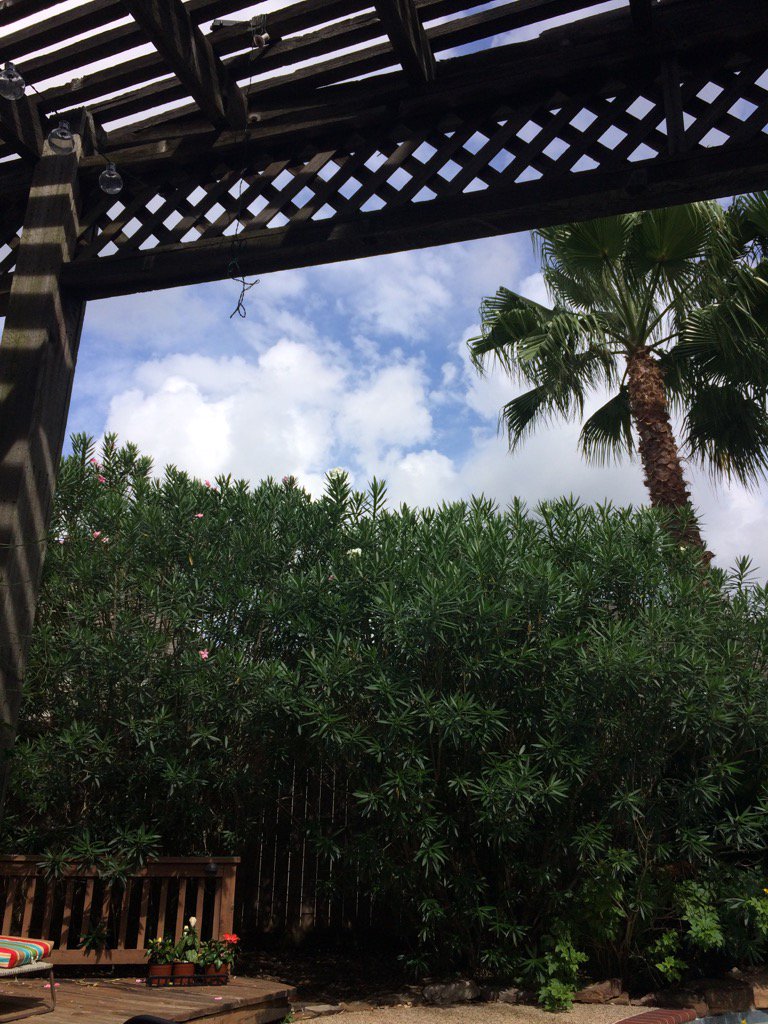
Tuesday, July 4, 2017

Jul. 4 17

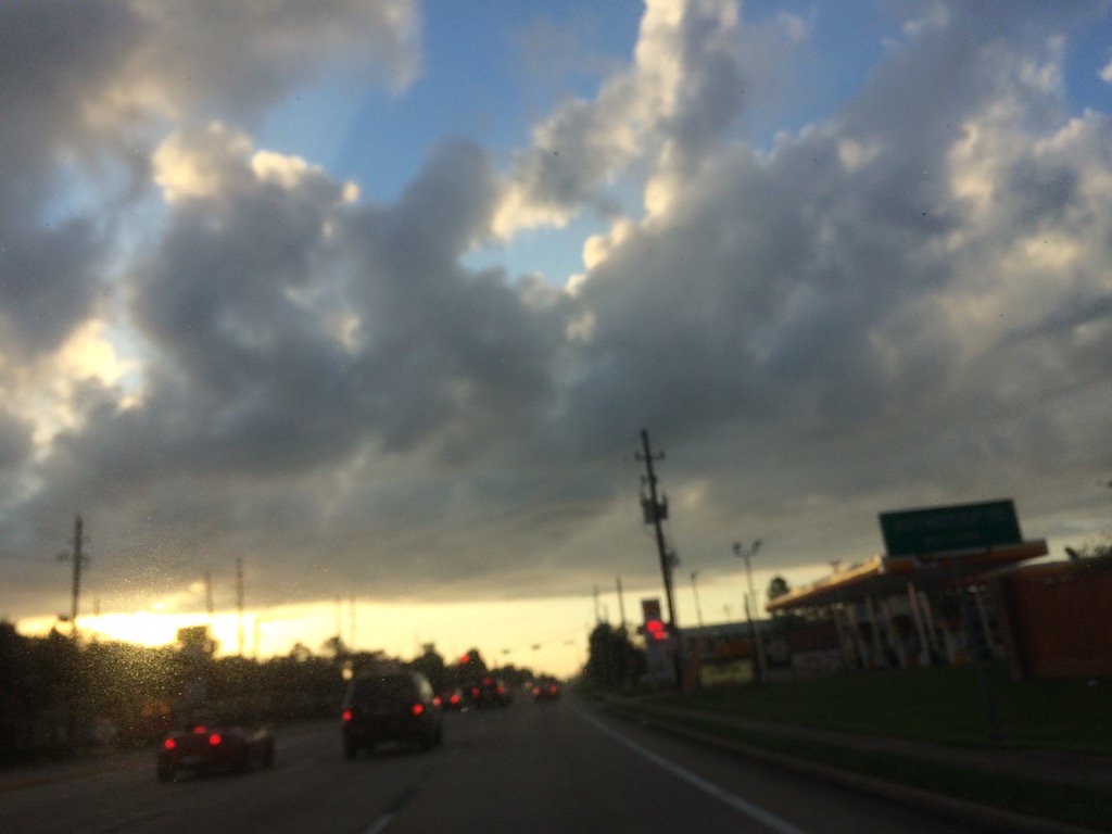
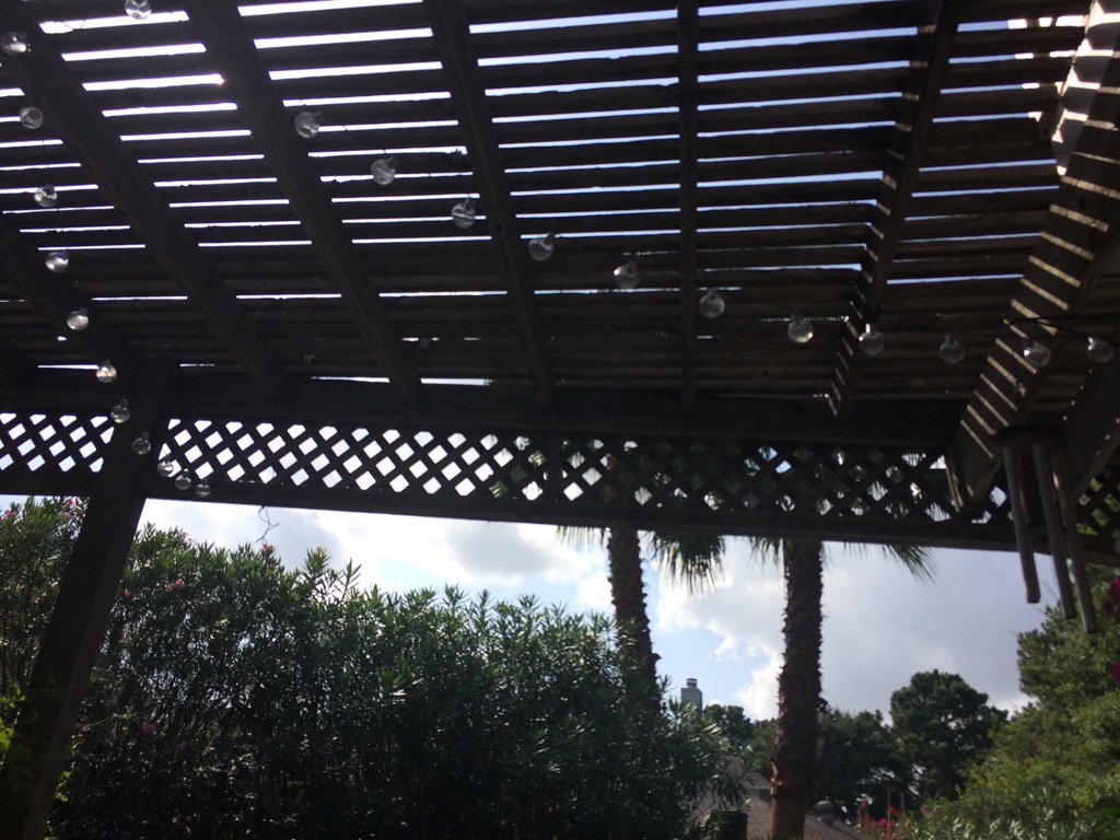
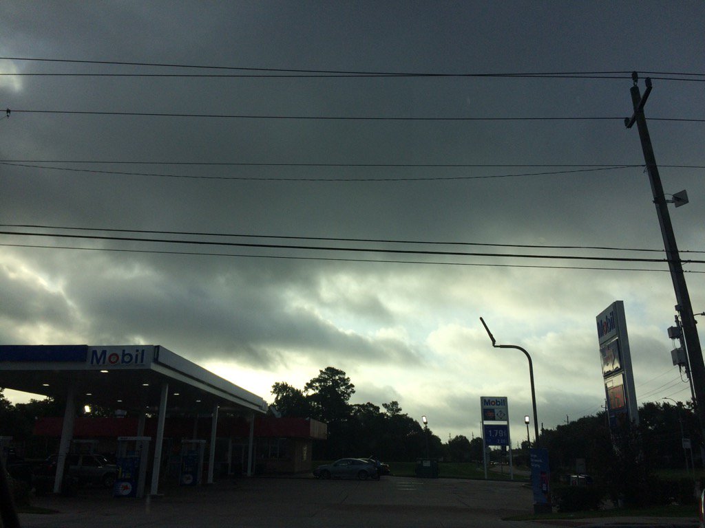
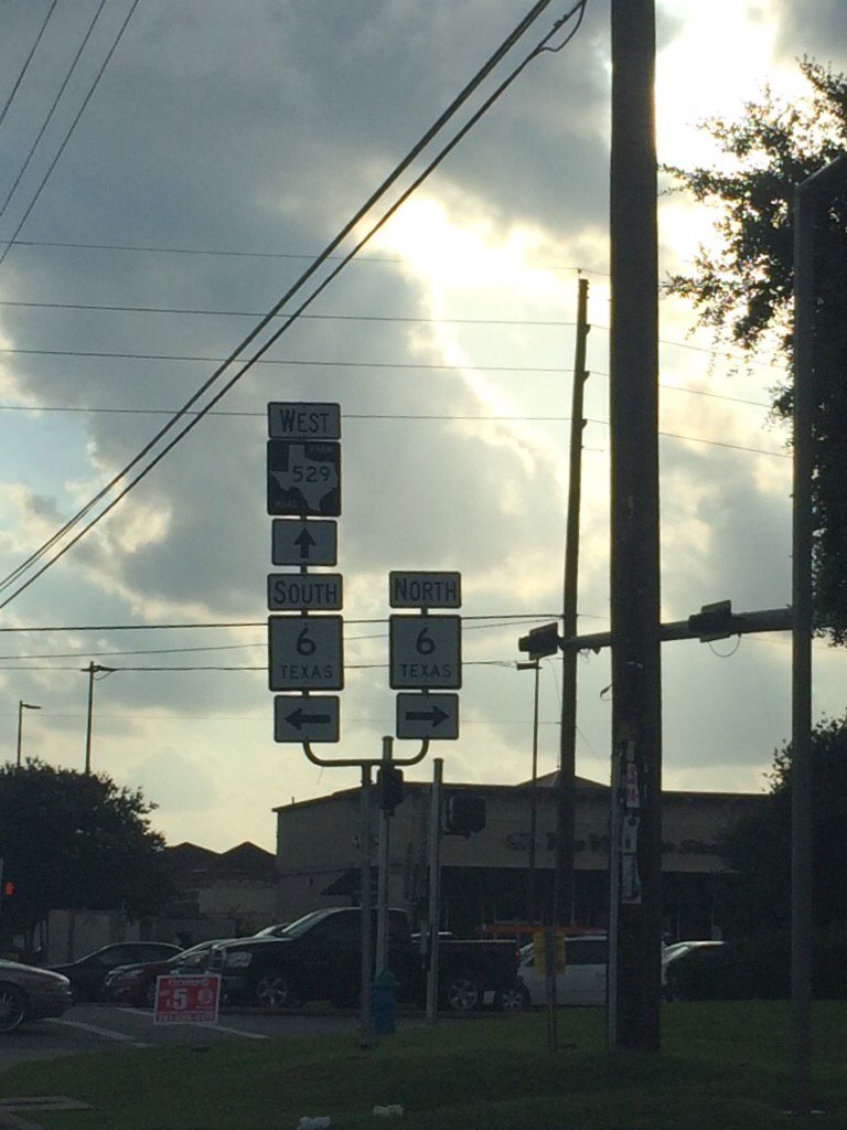
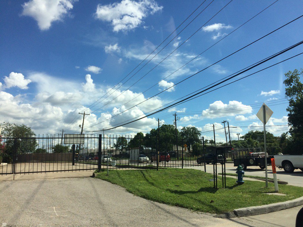
Northwest Houston, TX, during the late morning.
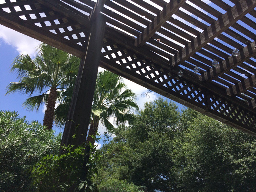
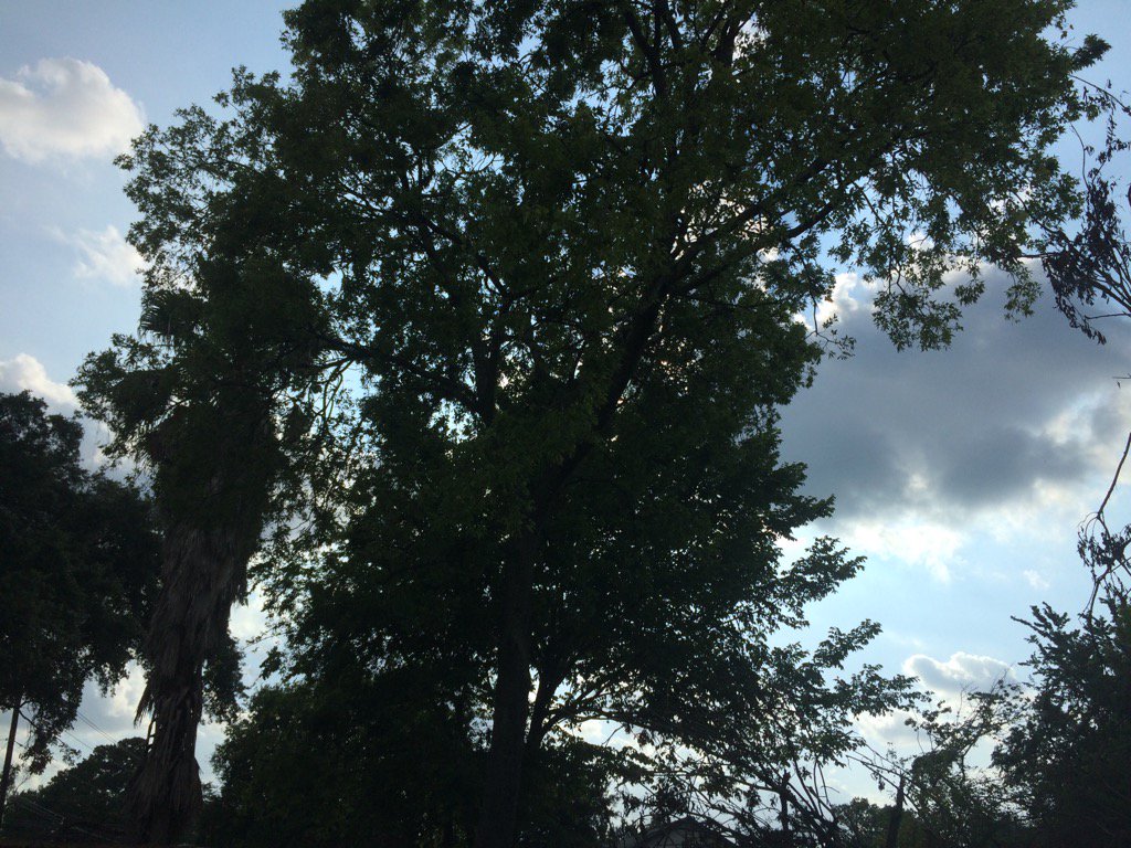
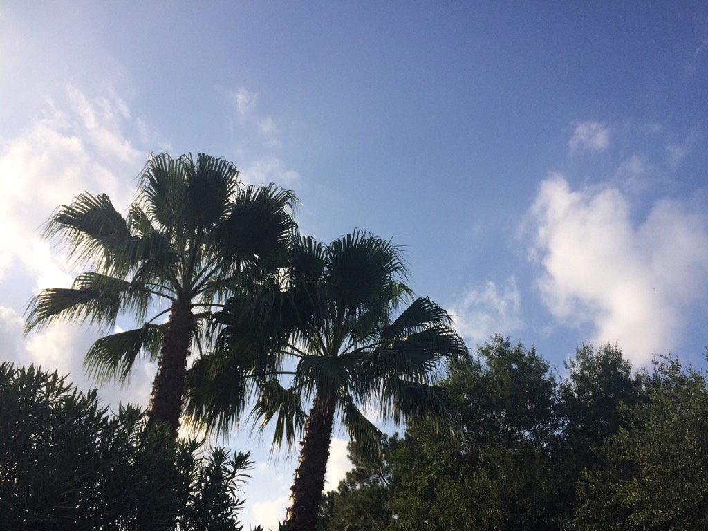
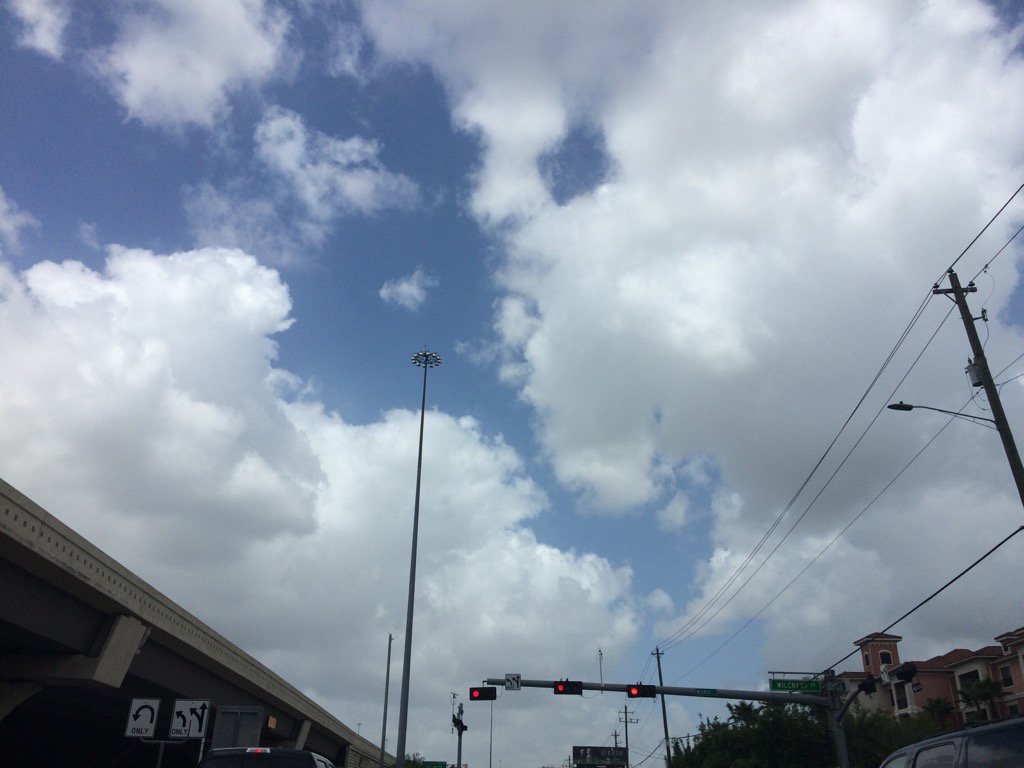
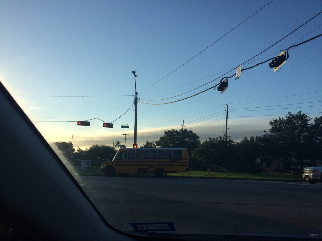
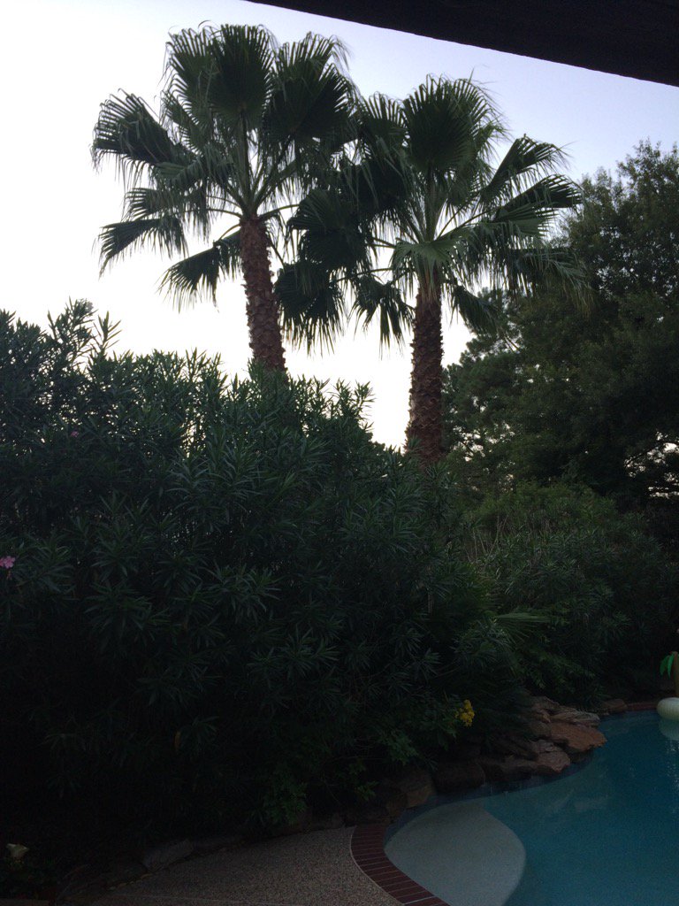
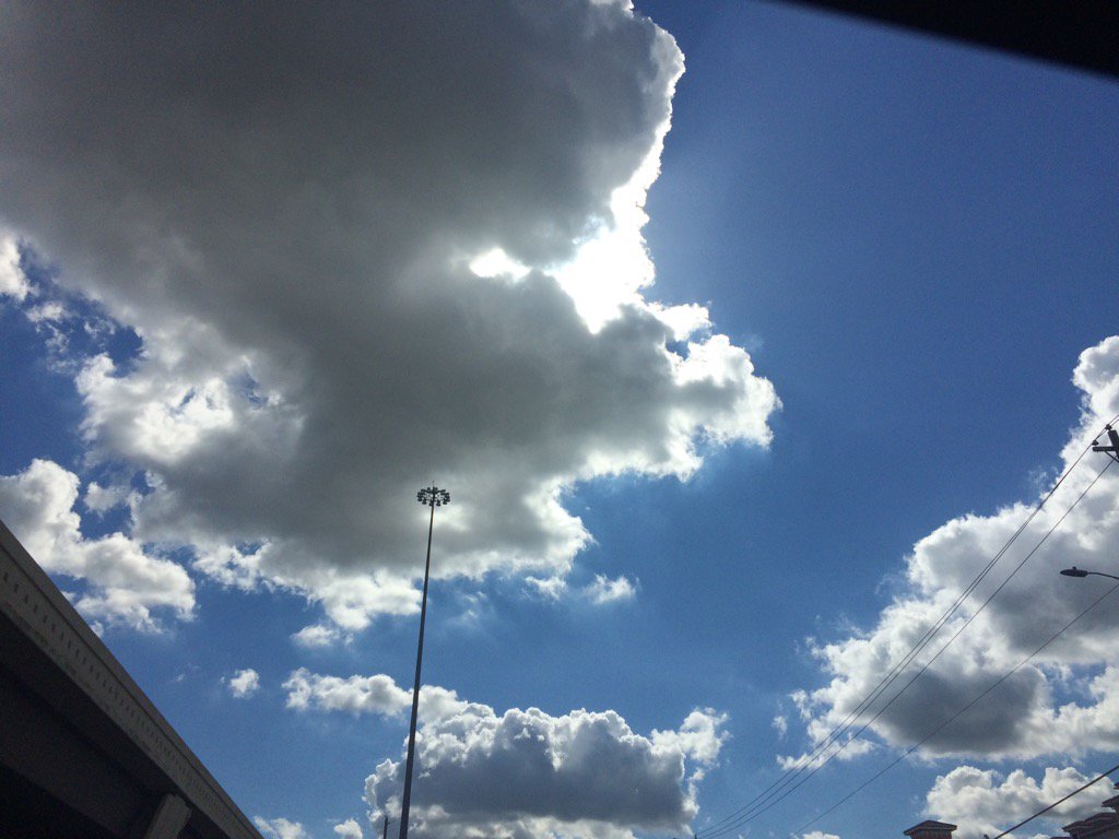
Northwest Houston, TX, during the early afternoon.
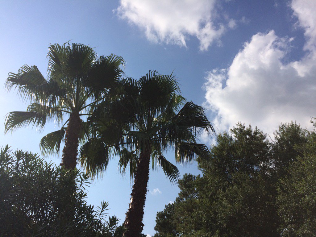
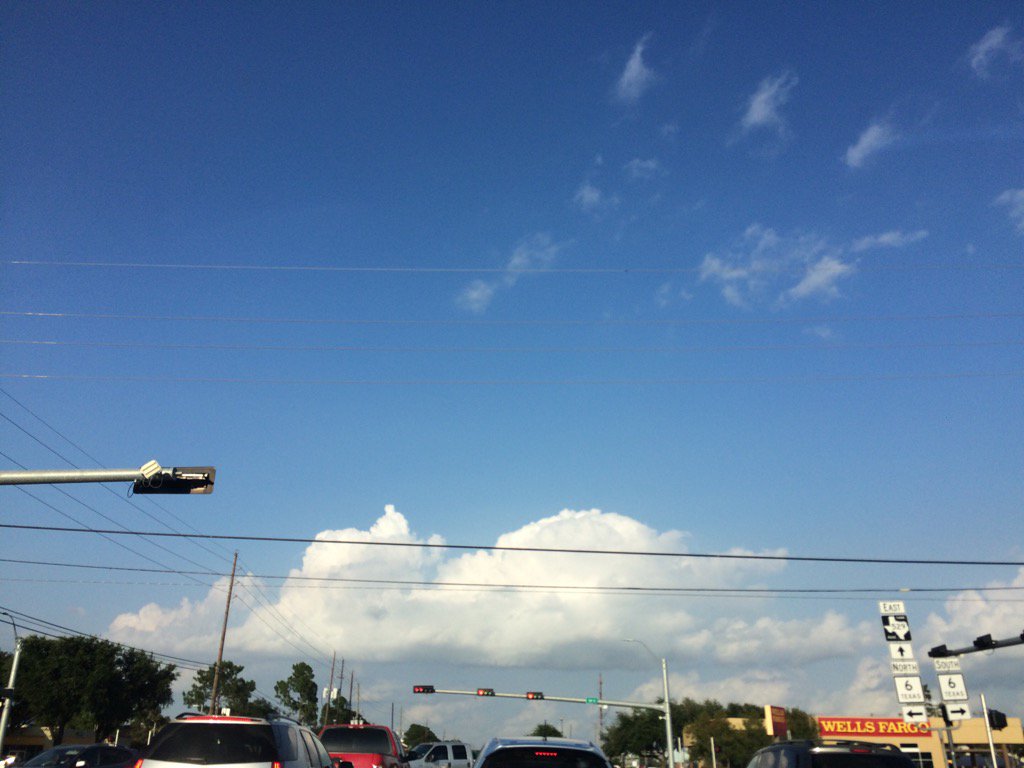
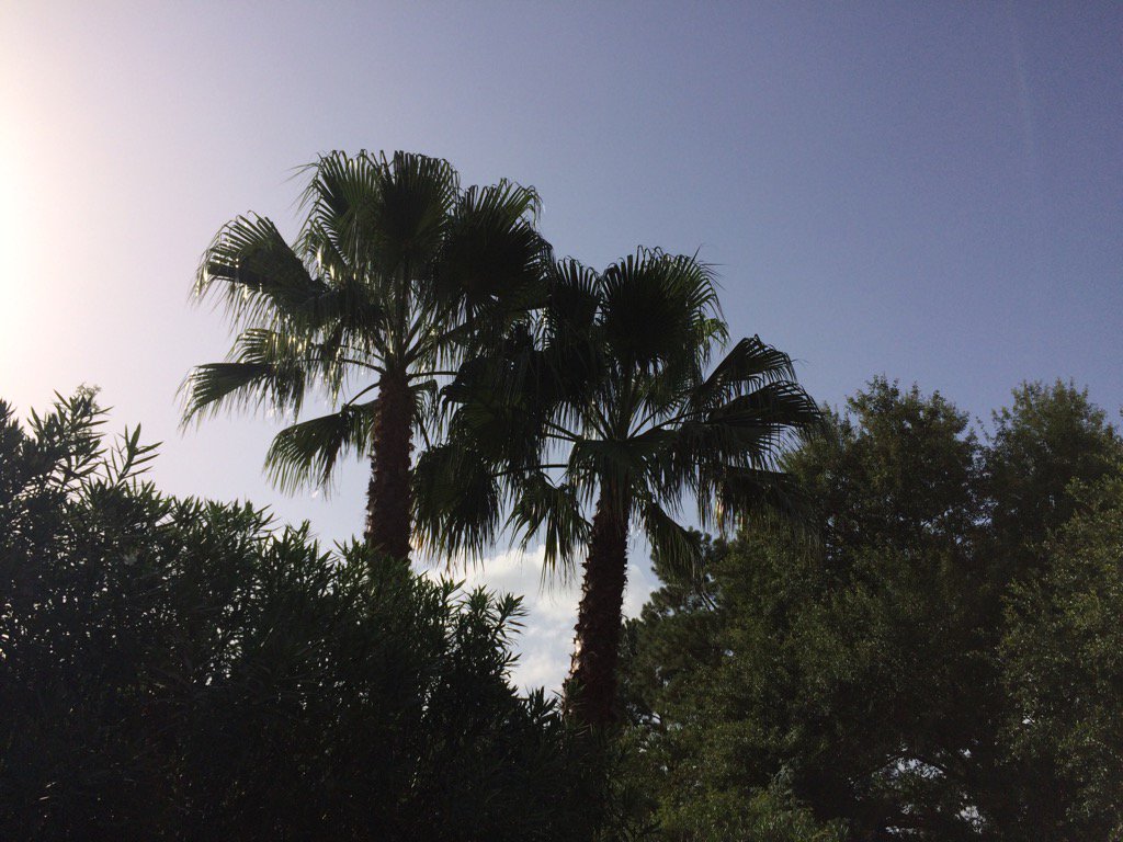
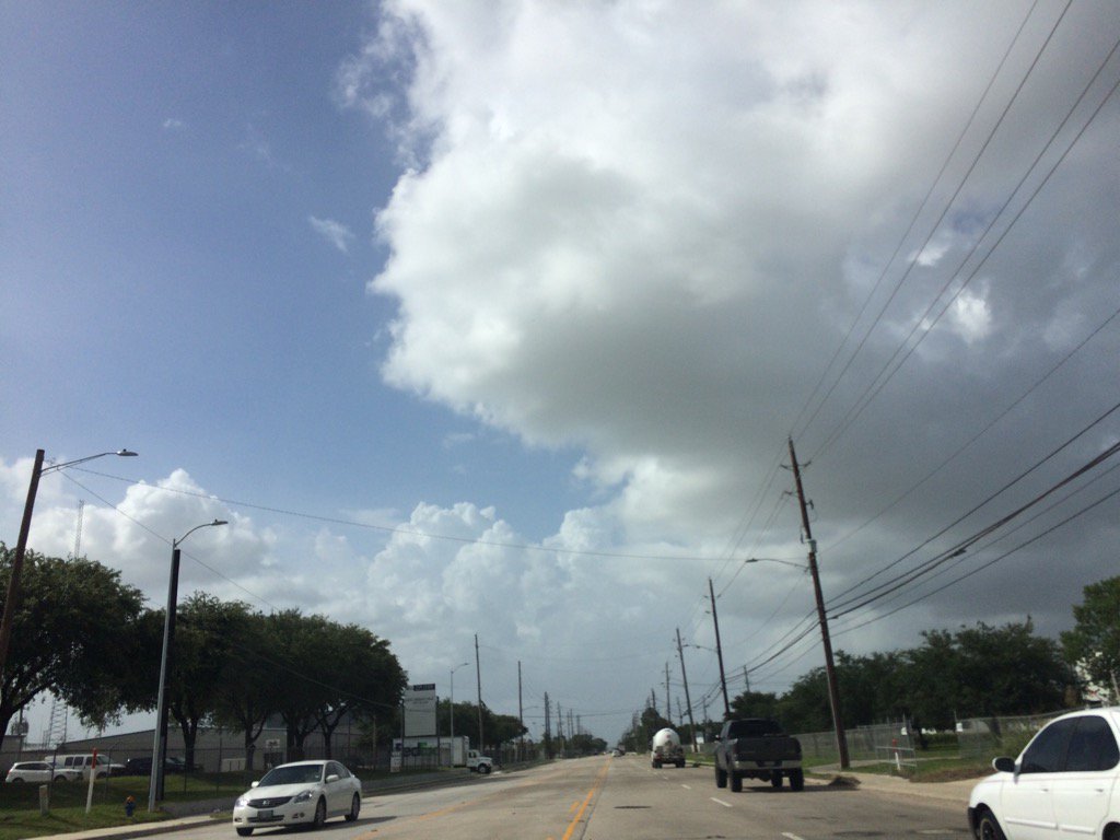
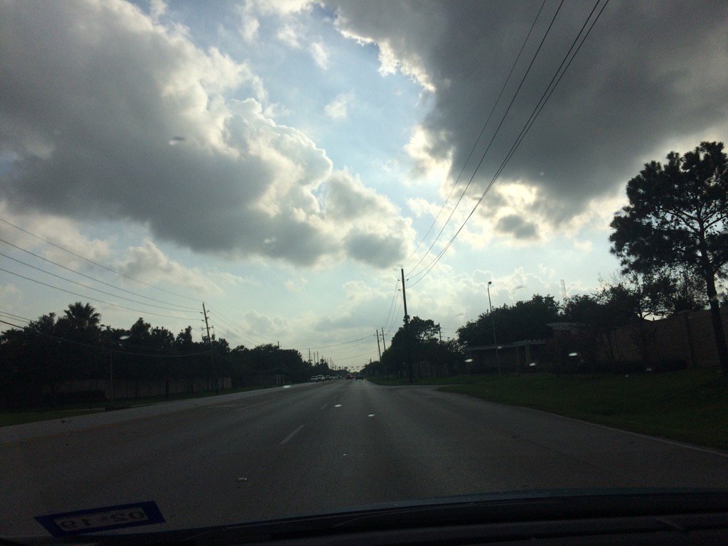
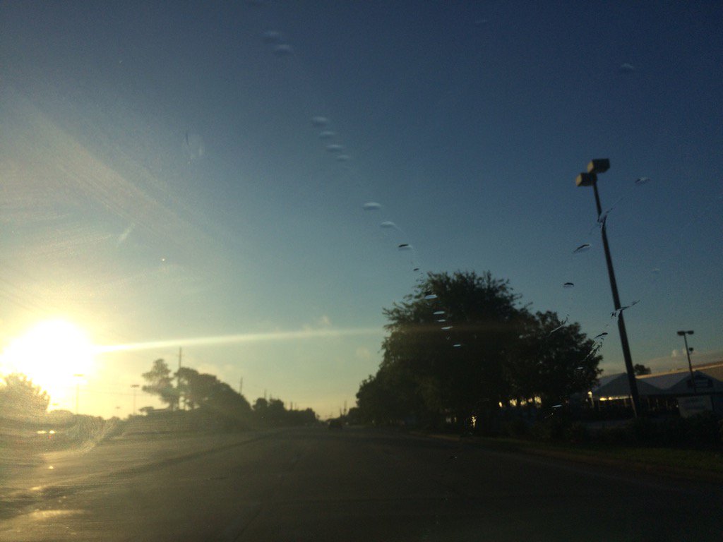
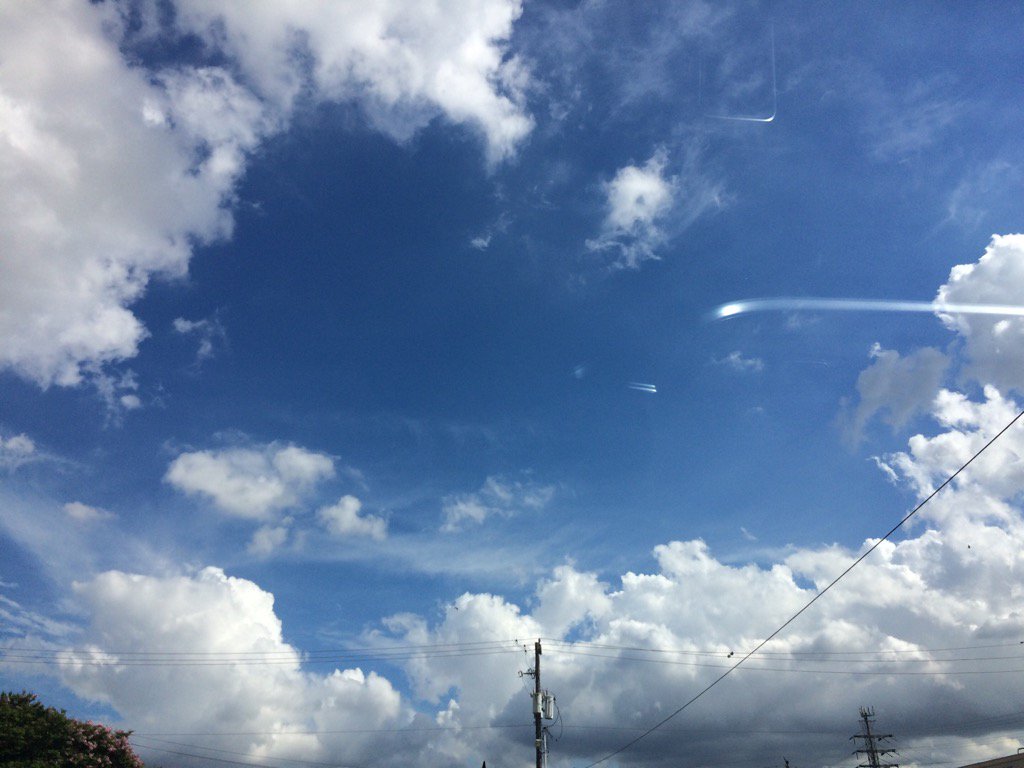
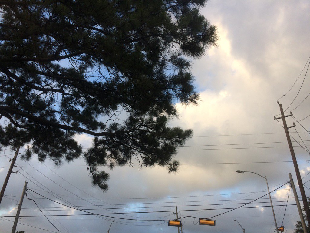
Northwest Houston, TX, during the early evening.
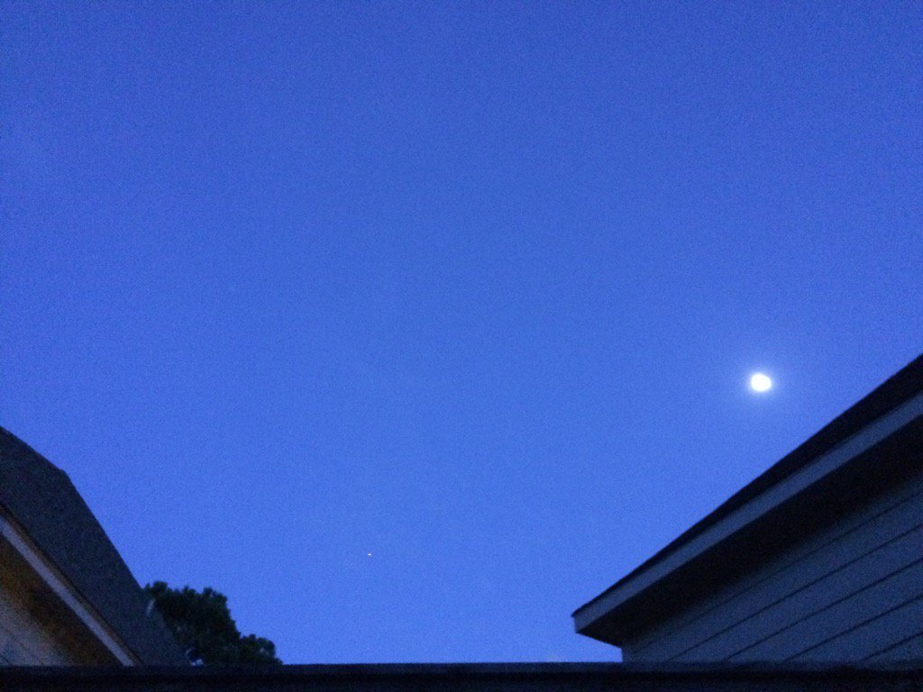
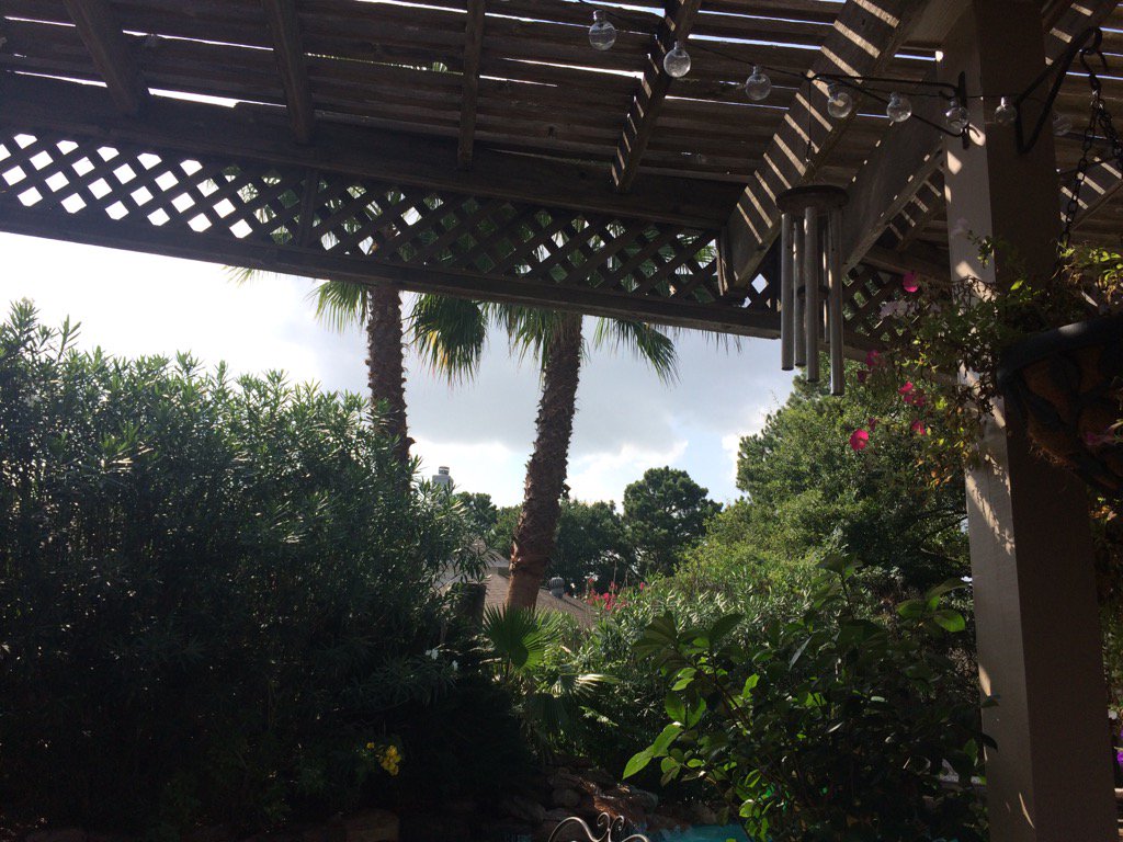
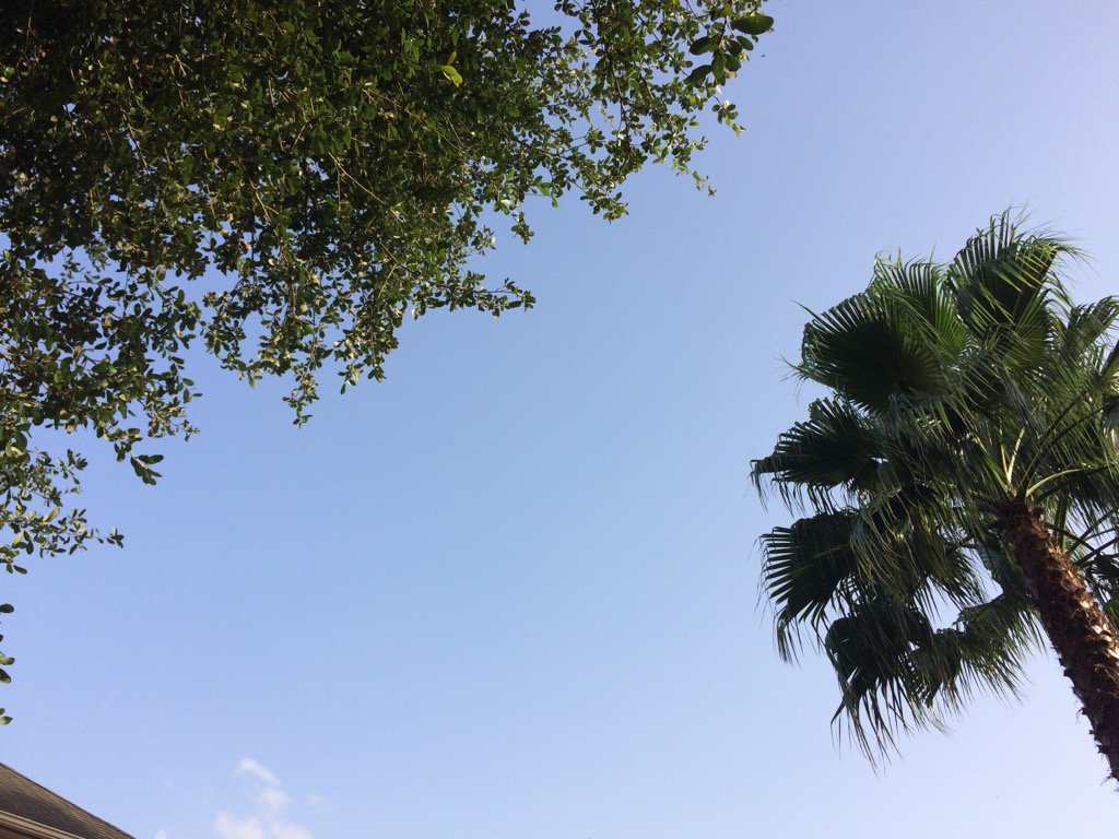
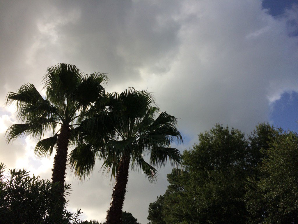
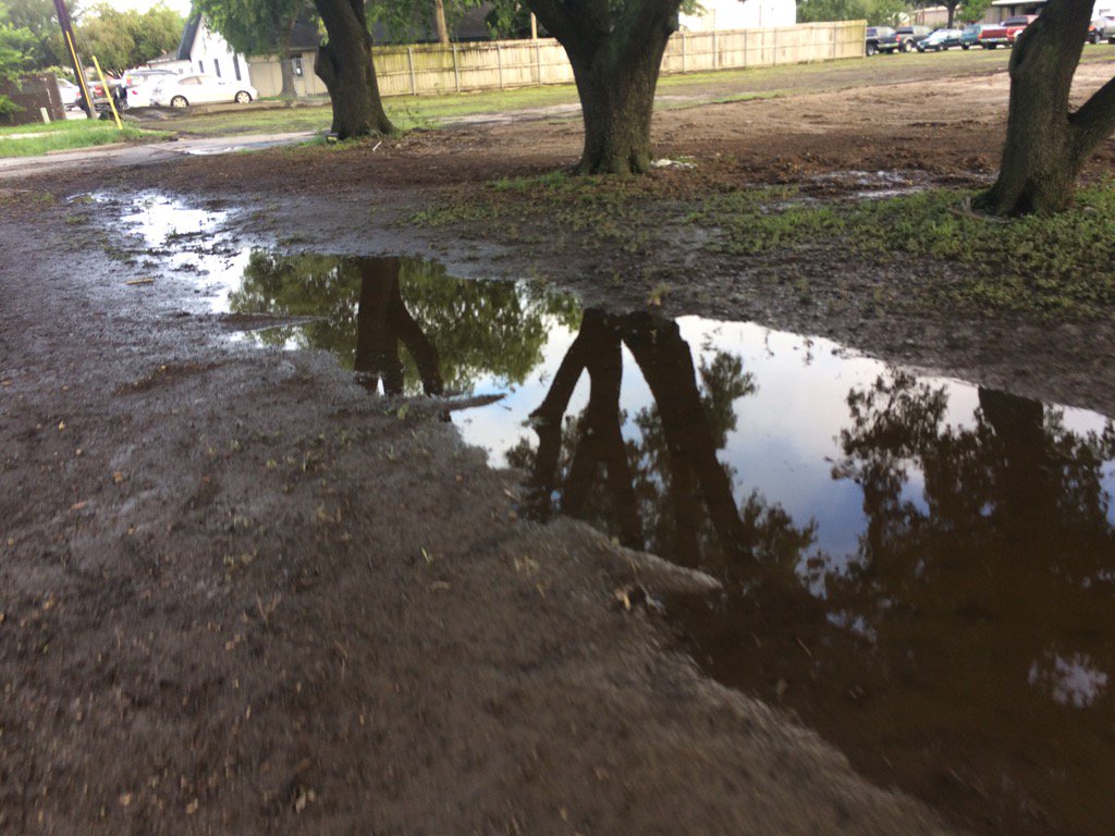
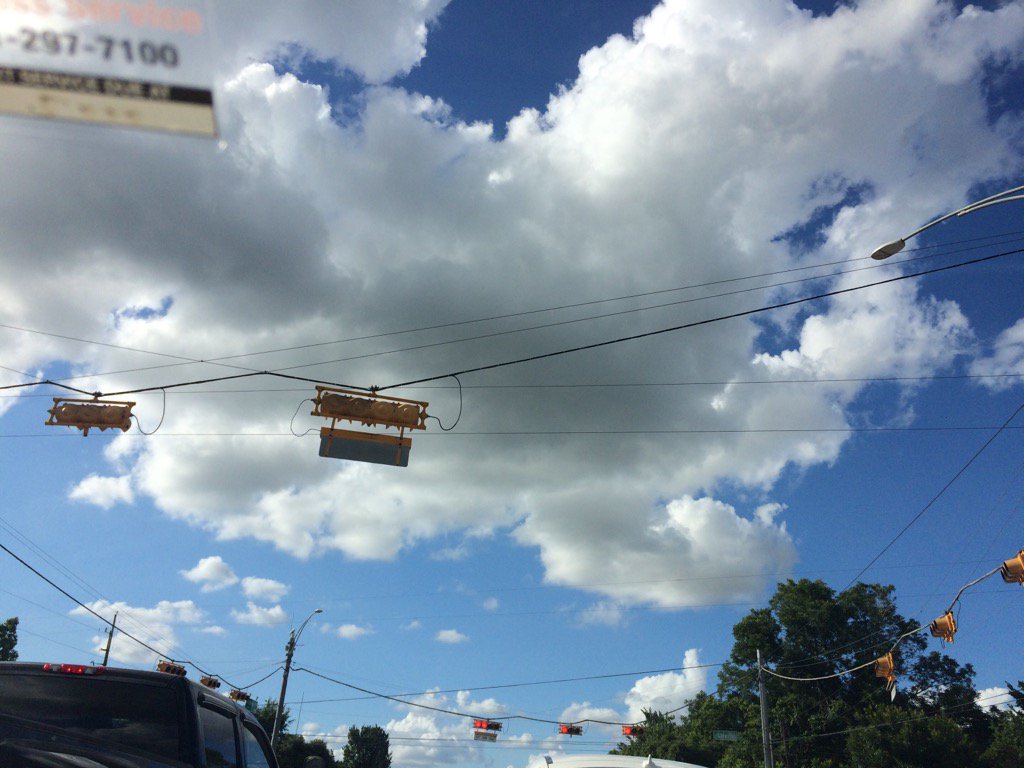
Northwest Houston, TX, during the late evening.


Summary: The day was sunny, hot, and dry. Light to heavy, mostly light, isolated showers and maybe a few thunderstorms were in and around the Houston, TX area, during the morning, afternoon, evening, and night. I didn't see, feel, or hear any rain drops. Stratus and stratocumulus clouds looked to be scattered across the sky, during the morning, afternoon, and early evening. The sky became clear, during the late evening and remained clear through the early and maybe late night. The wind speeds looked to be calm with some gentle and moderate gusts. It felt warm during the early and mid-morning, late evening, and night. It felt hot during the late morning, afternoon, and early evening. There was a Hazardous Weather Outlook issued for the Houston, TX area, by NOAA, for today. There were no other watches, warnings, alerts, advisories, or weather statements/outlooks issued for the Houston, TX area, that I know of. The low temps looked to be in the 70's and the high temps looked to be in the 90's, for the Houston, TX area.


Storm Summary: There were no reports of flooding, or storm damage with the showers and possible thunderstorms.


Locations: Northwest Houston, TX


Thoughts: Well I almost got to see some rain today. A group of showers and possible thunderstorms that was to the northwest of Houston, TX, disorganized right before it passed over my house, during the late morning. Another hot and sunny day. Maybe tomorrow will be better.


Hazardous Weather Outlook

Hazardous Weather Outlook
National Weather Service Houston/Galveston TX
403 AM CDT Tue Jul 4 2017

TXZ163-164-176>179-195>200-210>214-226-227-235>238-050915-
Austin-Brazoria-Brazos-Burleson-Chambers-Colorado-Fort Bend-
Galveston-Grimes-Harris-Houston-Jackson-Liberty-Madison-Matagorda-
Montgomery-Polk-San Jacinto-Trinity-Walker-Waller-Washington-
Wharton-
403 AM CDT Tue Jul 4 2017

This hazardous weather outlook is for portions of Southeast Texas..

.DAY ONE...Today and Tonight

Heat index values are expected to climb into the 100-105 range
late morning through this evening.

An elevated risk for rip currents will exist along Gulf-facing
beaches.

.DAYS TWO THROUGH SEVEN...Wednesday through Monday

Heat index values may climb into the 100-105 range late morning
through the evening hours each day.

Isolated to scattered showers and thunderstorms will be possible
each day. Some of these may be capable of brief heavy rainfall.

An elevated risk for rip currents is possible along Gulf-facing
beaches through mid to late week.

.SPOTTER INFORMATION STATEMENT...

Spotter activation will not be needed.

$$

Monday, July 3, 2017

Jul. 3 17


Northwest Houston, TX, during the early morning.
Northwest Houston, TX, during early evening.
Northwest Houston, TX, during the late evening.


Summary: The day was hot, sunny, and dry. There were no showers, or thunderstorms anywhere in, or near the Houston, TX area, that I know of. I don't remember seeing any rain on the radar anywhere in, or near the Houston, TX area. I didn't feel, hear, or see any rain drops. Alto stratus and mostly stratus and stratocumulus clouds looked to be scattered across the sky, during the morning, afternoon, and early evening. The sky looked to be becoming clear, during the late evening. The sky looked to be clear, or maybe mostly clear, during the early night. The wind speeds looked to be calm with moderate to moderately strong gusts. It felt warm during the early and mid-morning, late evening, and night. It felt hot during the late morning and afternoon. It felt really warm during the early evening. There were no watches, warnings, alerts, advisories, or weather statements issued for the Houston, TX area, that I know of. The low temps looked to be in the 70's and the high temps looked to be in the 90's, for the Houston, TX area. 


Locations: Northwest Houston, TX.


Thoughts: Lots of sun today. Maybe some rain chances later this week.

Sunday, July 2, 2017

Jul. 2 17

Northwest Houston, TX, during the late afternoon.
Northwest Houston, TX, during the early evening.
Northwest Houston, TX, during the late evening.


Summary: The day was hot, sunny, and dry. light to heavy, (mostly light) showers and maybe a few thunderstorms were isolated across the Houston, TX area, during the morning, afternoon, evening, and maybe night. I didn't see, feel, or hear any rain drops. Stratus and stratocumulus clouds looked to be scattered across the sky, during the morning, afternoon, evening, and maybe night. The wind speeds looked to be calm with gentle to moderate gusts with some moderately strong gusts. It felt warm during the morning and night. It felt hot during the afternoon and early evening. It felt very warm during the late evening. There were no watches, warnings, alerts, weather statements, or advisories issued for the Houston, TX area, that I know of. The low temps looked to be in the 70's and the high temps looked to be in the 90's, for the Houston, TX area.


Storm Summary: I didn't see. or hear about any flooding, or storm damage from any of the isolated showers and possible thunderstorms.


Locations: Northwest Houston, TX.


Thoughts: Nothing much going on here in Houston, TX. Just some chance showers throughout the week...

Jul. 1 17

Northwest Houston, TX, during the early evening.
Northwest Houston, TX, during the late evening.


Summary: The day was sunny, hot, and windy. Maybe some isolated light showers. I don't remember seeing any rain on the radar. I didn't see, feel, or hear any rain drops. Stratus with mostly Stratocumulus and maybe some alto stratus and cirro stratus clouds looked to be scattered across the sky, during the morning, afternoon, evening, and maybe night. The wind speeds looked to be gentle with moderate to moderately strong gusts and some really strong gusts. It felt warm during the morning and night. It felt hot during the afternoon. It felt very warm during the late evening. There were no watches, warnings, alerts, advisories, or weather statements issued for the Houston, TX area, that I know of. The low temps looked to be in the 70's and the high temps looked to be in the 90's, for the Houston, TX area.


Locations: Northwest Houston, TX.


Thoughts: Another hot day with some high wind speeds. I enjoyed the wind. I like windy days.

Friday, June 30, 2017

Jun. 30 17

Northwest Houston, TX. during the early morning.
West Houston, TX, during the early afternoon.
Northwest Houston, TX, during the early evening.
Northwest Houston, TX, during the late evening.
Northwest Houston, TX, during the early night.


Summary: The day was hot, mostly cloudy, and windy. Light to moderate with maybe some moderately heavy to heavy showers and some possible thunderstorms were isolated across the Houston, TX area, during the morning, afternoon, evening, and maybe night. I felt a few sprinkles at the animal hospital, where I work in northwest Houston, TX, during the late afternoon. Then I felt some more sprinkles at my house in northwest Houston, TX, during the late evening. I didn't feel, see, or hear anymore rain drops after that. Stratus and stratocumulus clouds with maybe some nimbus clouds, looked to cover most of the sky, during the morning, afternoon, and evening. Stratus, or maybe alto stratus and stratocumulus, or maybe alto stratocumulus clouds, looked to cover most of the sky, during the night. The wind speeds looked to be calm with gentle to moderate gusts with some moderately strong gusts. It felt warm, during the early and mid-morning, and night. It felt very warm during the late morning and evening. It felt hot during the afternoon. There was a hazardous weather outlook issued for Houston, TX, by NOAA, for today. There were no other watches, warnings, alerts, advisories, or weather statements, or outlooks issued for the Houston, TX area, that I know of. The low temps looked to be in the 70's and the high temps looked to be in the 90's, for the Houston, TX area.


Locations: Northwest and west Houston, TX, Cypress, TX.


Thoughts: Well at least I got to see some rain today. It is expected to get hotter for the Houston, TX area. So I am not excited about that. I hope this weeks wet weather wasn't the last for this summer.


Hazardous Weather Outlook

Hazardous Weather Outlook
National Weather Service Houston/Galveston TX
546 AM CDT Fri Jun 30 2017

TXZ163-164-176>179-195>200-210>214-226-227-235>238-011100-
Austin-Brazoria-Brazos-Burleson-Chambers-Colorado-Fort Bend-
Galveston-Grimes-Harris-Houston-Jackson-Liberty-Madison-Matagorda-
Montgomery-Polk-San Jacinto-Trinity-Walker-Waller-Washington-
Wharton-
546 AM CDT Fri Jun 30 2017

This hazardous weather outlook is for portions of Southeast Texas..

.DAY ONE...Today and Tonight

Hot weather will be on tap with heat index readings exceeding 95
by 11 am and ranging from 100 to 106 throughout the afternoon. Along
the Gulf coast at the beaches strong rip currents will continue.


.DAYS TWO THROUGH SEVEN...Saturday through Thursday
The hot weather will continue this week with afternoon heat index
readings frequently 100 to 106 degrees. Otherwise no hazardous
weather is expected at this time.

.SPOTTER INFORMATION STATEMENT...

Spotter activation not expected.

$$

Thursday, June 29, 2017

Jun. 29 17

Northwest Houston, TX, during the early morning.


Northwest Houston, TX, during the early evening.
Northwest Houston, TX, during the late evening.
Northwest Houston, TX, during the early night.


Summary: The day was hot, mostly cloudy, and a little wet. Light to moderately heavy with maybe some heavy isolated showers and thunderstorms were scattered across the Houston, TX area, during the morning, afternoon, and evening. Light sprinkles were falling when I was outside of the animal hospital where I work in northwest Houston, TX, during the mid, or maybe late morning.  A series of light to moderate brief showers with one long lasting moderately heavy shower passed over the animal hospital where I work, during the early afternoon. I saw another light sprinkle on my way home from work, during the early evening. I didn't see anymore rain after that. Alto stratus to stratocumulus clouds with some nimbus clouds, looked to cover most of the sky, during the morning, afternoon, and evening. The sky looked to have become clear, during the early night. The wind speeds looked to be calm with gentle to moderate gusts with some occasional moderately strong gusts. It felt warm during the morning, late evening, and night.. It felt hot during the afternoon. It felt very warm during the early evening. There was a hazardous weather outlook issued for the Houston, TX area, for today, by NOAA. There were no other watches, warnings, alerts, weather statements, or advisories, that I know of. The low temps looked to be in the 70's and the high temps looked to be in the 90's, for the Houston, TX area.


Storm Summary: I didn't hear about, hear, or see any thunder, or lightning. I didn't hear about, or see any flooding, just some small puddles and brief wet roads. I didn't hear about, or see any storm damage.


Locations: Northwest Houston, TX.


Thoughts: It was a pretty hot day, but at least I got to see some rain. Houston, TX got more rain that I was expecting to see.


Hazardous Weather Outlook

Hazardous Weather Outlook
National Weather Service Houston/Galveston TX
837 AM CDT Thu Jun 29 2017

TXZ163-164-176>179-195>200-210>214-226-227-235>238-301300-
Austin-Brazoria-Brazos-Burleson-Chambers-Colorado-Fort Bend-
Galveston-Grimes-Harris-Houston-Jackson-Liberty-Madison-Matagorda-
Montgomery-Polk-San Jacinto-Trinity-Walker-Waller-Washington-
Wharton-
837 AM CDT Thu Jun 29 2017

This hazardous weather outlook is for portions of Southeast Texas..

.DAY ONE...Today and Tonight

Showers and thunderstorms along the coast are expected to scatter
out this afternoon. Locally heavy rainfall producing flooding is
possible mainly east of the highway 59 corridor. Along the coast
at the beaches rip currents are also possible.

.DAYS TWO THROUGH SEVEN...Friday through Wednesday

No hazardous weather is expected at this time.

.SPOTTER INFORMATION STATEMENT...

Spotter activation may be required.

$$

Wednesday, June 28, 2017

Jun. 28 17


Northwest Houston, TX, during the early morning.
Northwest Houston, TX, during the late afternoon.
West Houston, TX, during the late afternoon.
West Houston, TX, during the early evening.
Northwest Houston, TX, during the early evening.


Summary: The day was hot, mostly cloudy, and dry. Light to moderately heavy with maybe some heavy showers and some possible thunderstorms were isolated in and around the Houston, TX area, during the morning, afternoon, evening, and night. I didn't see any rain, but I did see some possible rain drops in west, or maybe northwest Houston, TX, on my cars front windshield, during the early evening. An isolated moderate shower looked to have passed over my house in northwest Houston, TX, on TWC's radar, sometime during the early morning, before sunrise. I didn't see, or feel any rain drops, so I don't know if my house got any rain, or not. Alto stratocumulus with stratocumulus clouds looked to cover most of the sky, during the morning, afternoon, evening, and maybe night. The wind speeds looked to be calm with gentle to moderate gusts with some moderately strong gusts. It felt warm during the early and mid-morning, late evening, and night. It felt hot during the late morning and afternoon. It felt really warm, during the early evening. There was a hazardous weather outlook issued, for the Houston, TX area, for today,by NOAA. There were no other watches, warnings, alerts, advisories, or weather statements issued for the Houston, TX area. that I know of. The low temps looked to be in the 70's and the high temps looked to be in the 90's with maybe some 80's, for the Houston, TX area.


Locations: Northwest and west Houston, TX.


Thoughts: Well it is getting hot again. The rain looks to have left the Houston, TX area earlier than expected.


Hazardous Weather Outlook

Hazardous Weather Outlook
National Weather Service Houston/Galveston TX
506 AM CDT Wed Jun 28 2017

TXZ163-164-176>179-195>200-210>214-226-227-235>238-291015-
Austin-Brazoria-Brazos-Burleson-Chambers-Colorado-Fort Bend-
Galveston-Grimes-Harris-Houston-Jackson-Liberty-Madison-Matagorda-
Montgomery-Polk-San Jacinto-Trinity-Walker-Waller-Washington-
Wharton-
506 AM CDT Wed Jun 28 2017

This hazardous weather outlook is for portions of Southeast Texas..

.DAY ONE...Today and Tonight

Scattered to occasionally numerous showers and thunderstorms are
expected today, particularly near and along the coast. Very
localized heavy rainfall and 20 to 40 mph wind gusts will be a
possibility in the strongest cells. Several inches of rain could
fall in a short time period...quickly running off to produce
street and small stream flooding.

Tropical funnel clouds will also be possible across parts of the
region. Most are expected to be short-lived and not reach the
ground.

.DAYS TWO THROUGH SEVEN...Thursday through Tuesday

Periods of showers and thunderstorms should persist for the next
couple of days. With a similar weather pattern remaining in
place, we will continue to monitor the possibility for some
localized heavy rainfall.

.SPOTTER INFORMATION STATEMENT...

Spotter activation is not anticipated at this time.

$$