Friday, July 7, 2017

Jul. 7 17

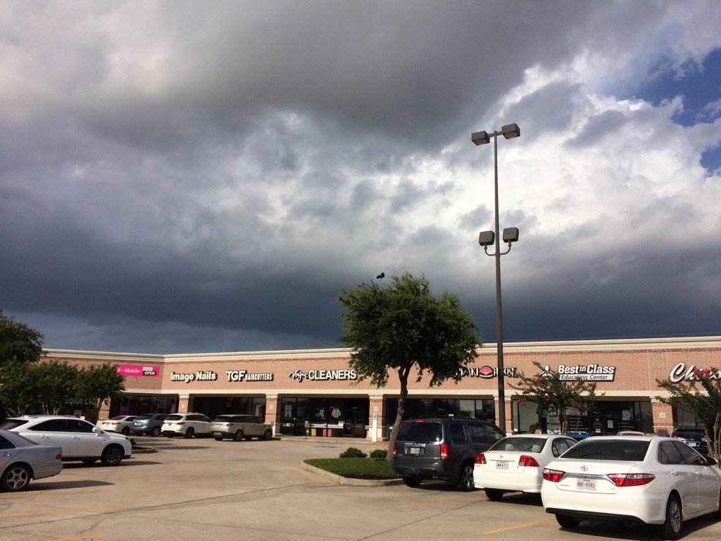
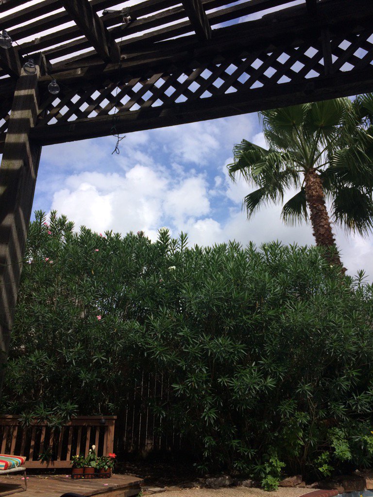
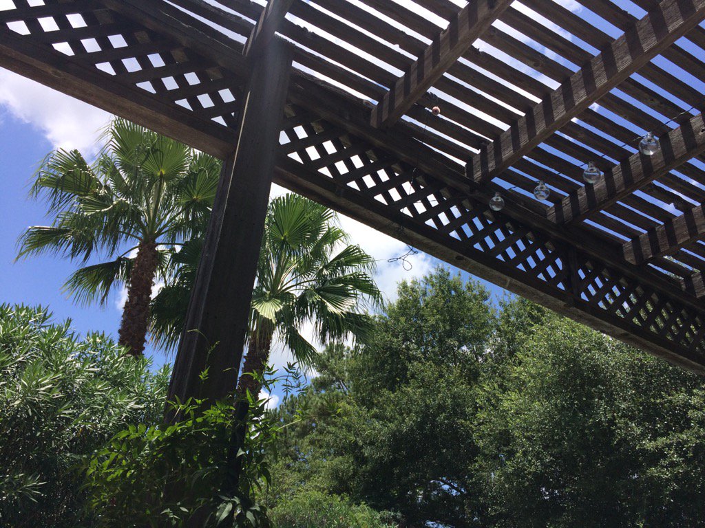
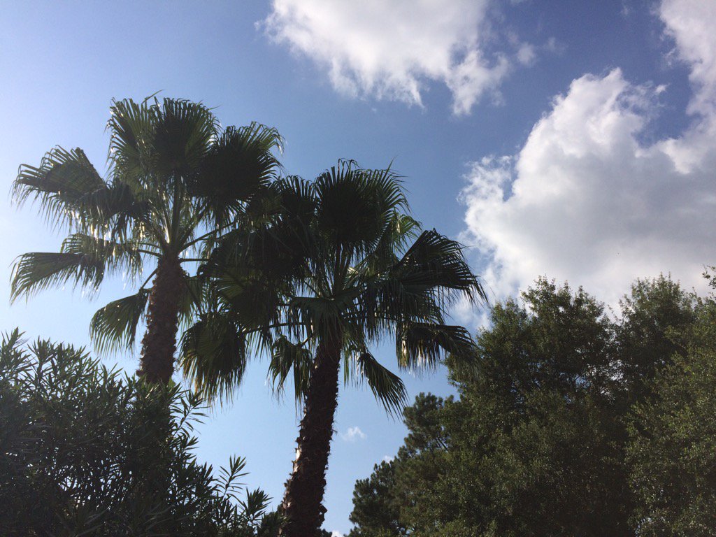
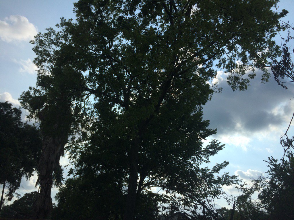
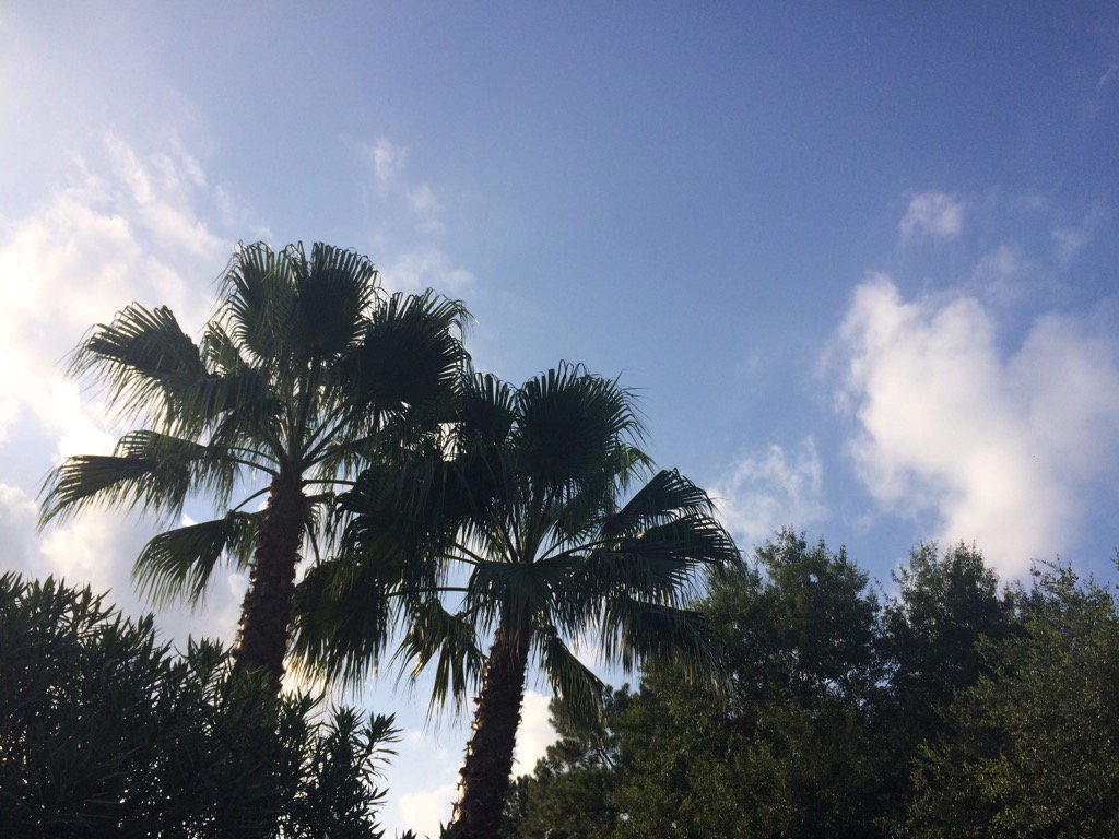
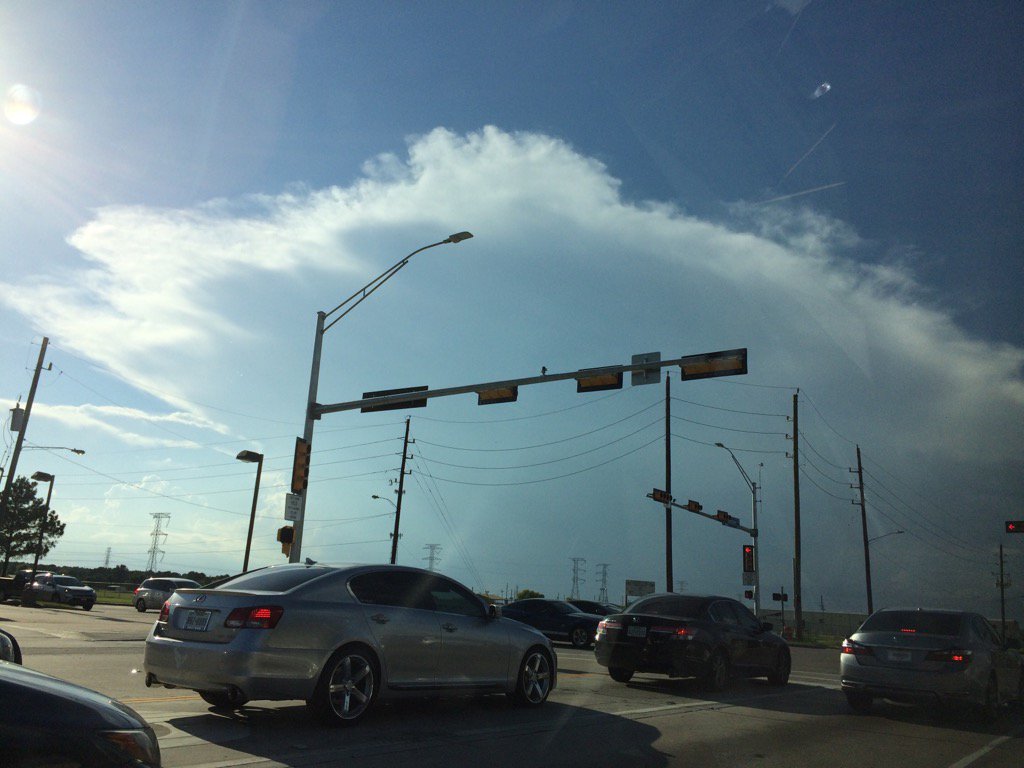
Northwest Houston, TX, during the early morning.
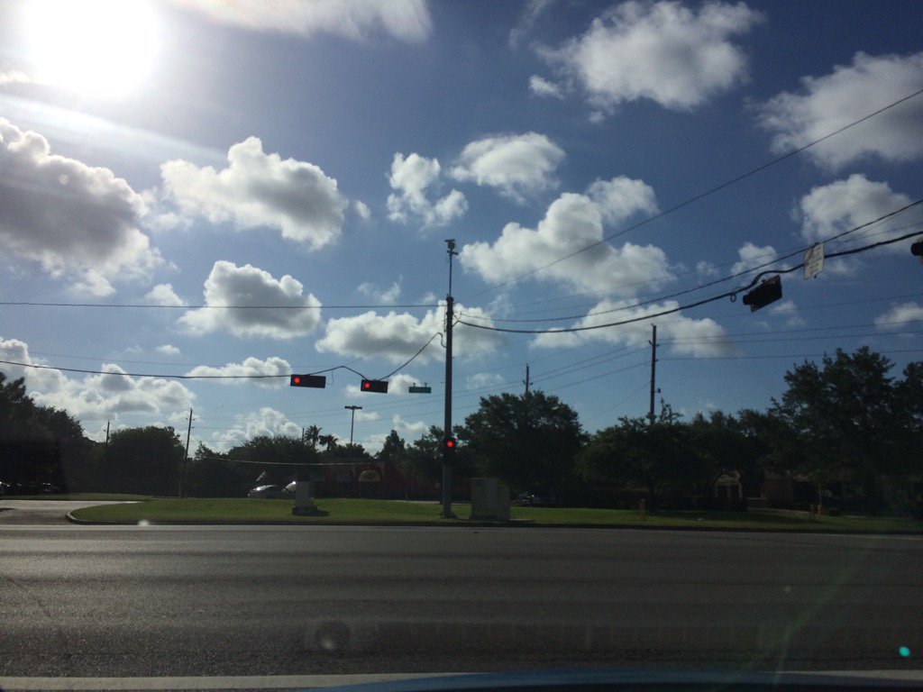
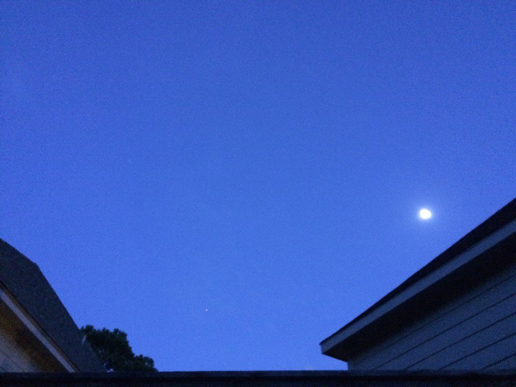
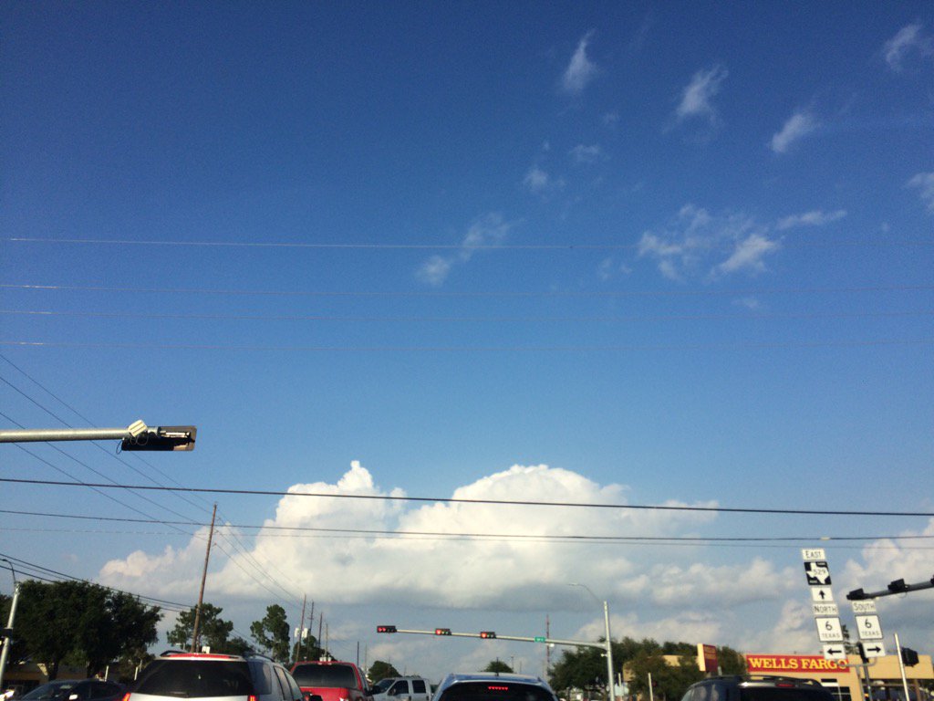
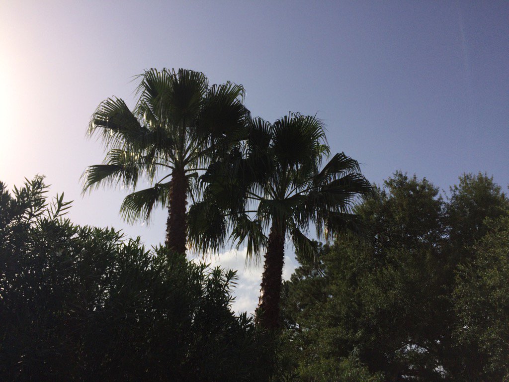
Northwest Houston, TX, during the mid-morning.
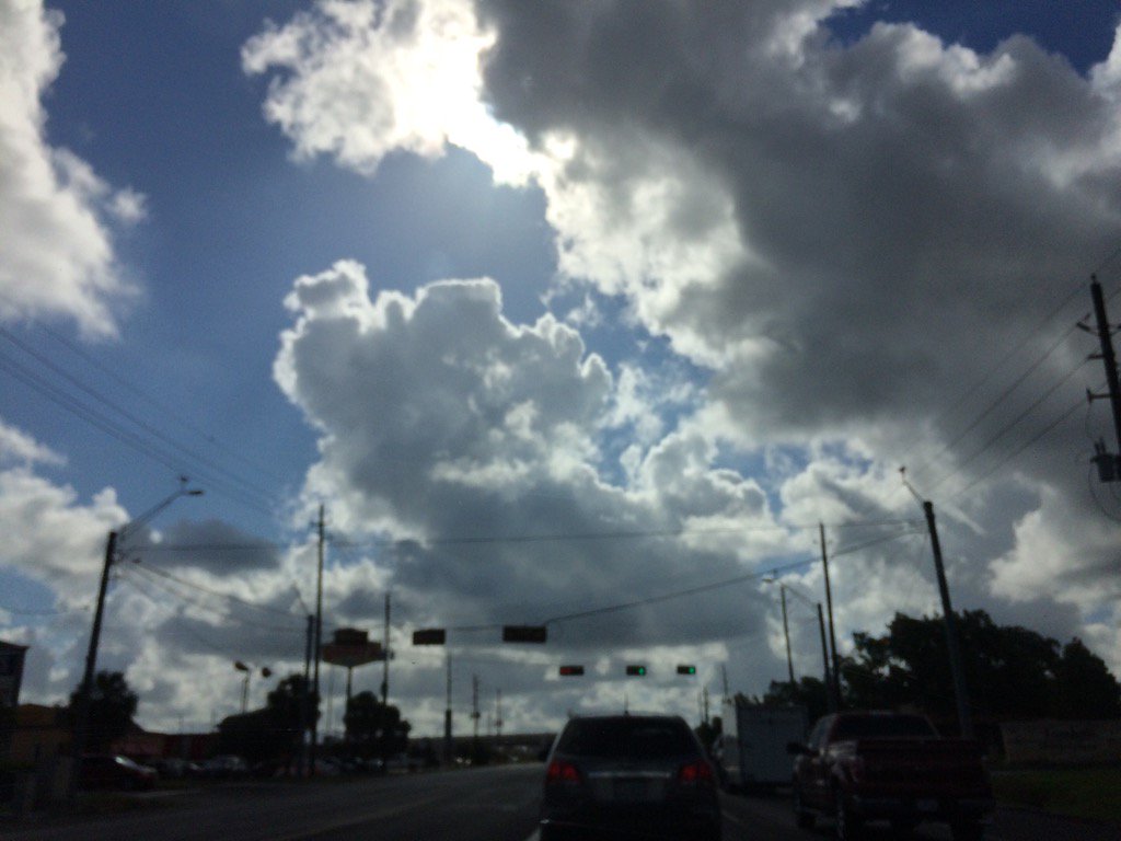
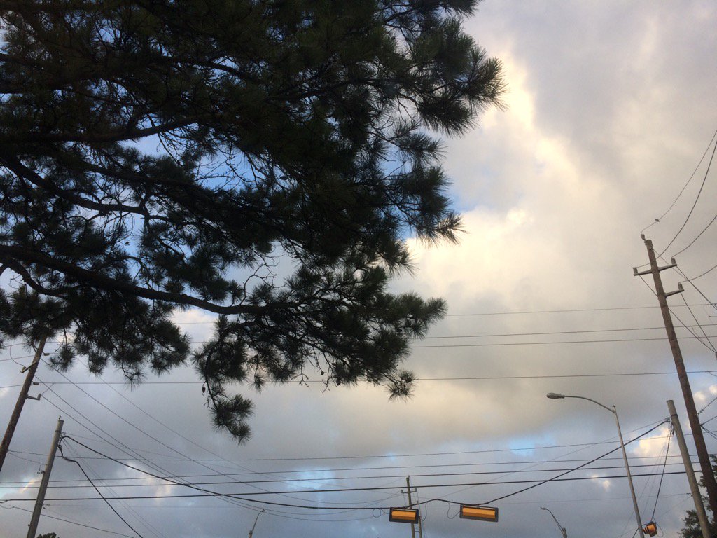
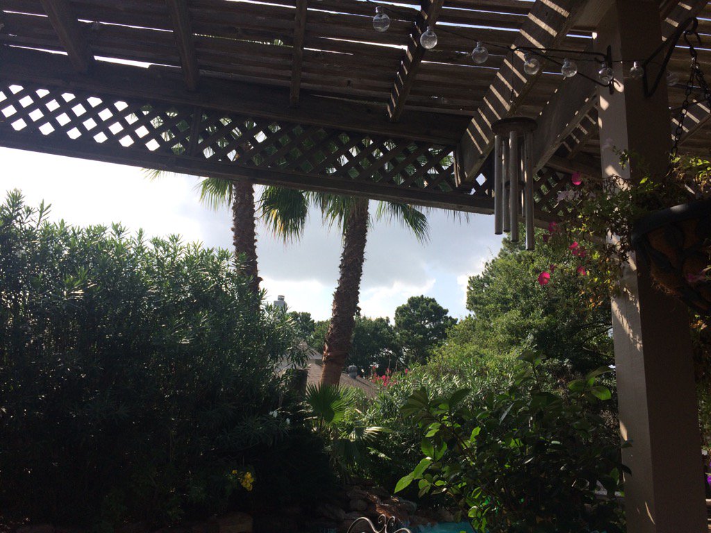
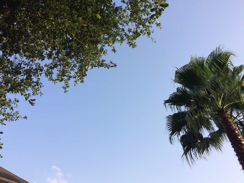
Near Tomball, TX, during the mid-morning.
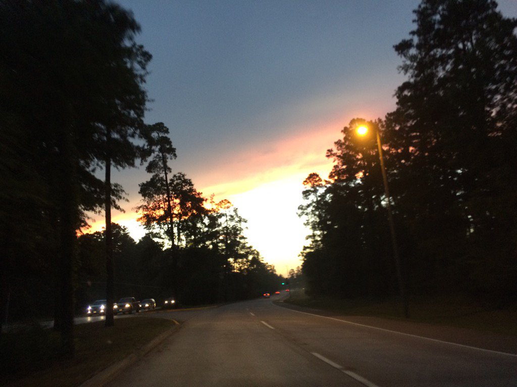
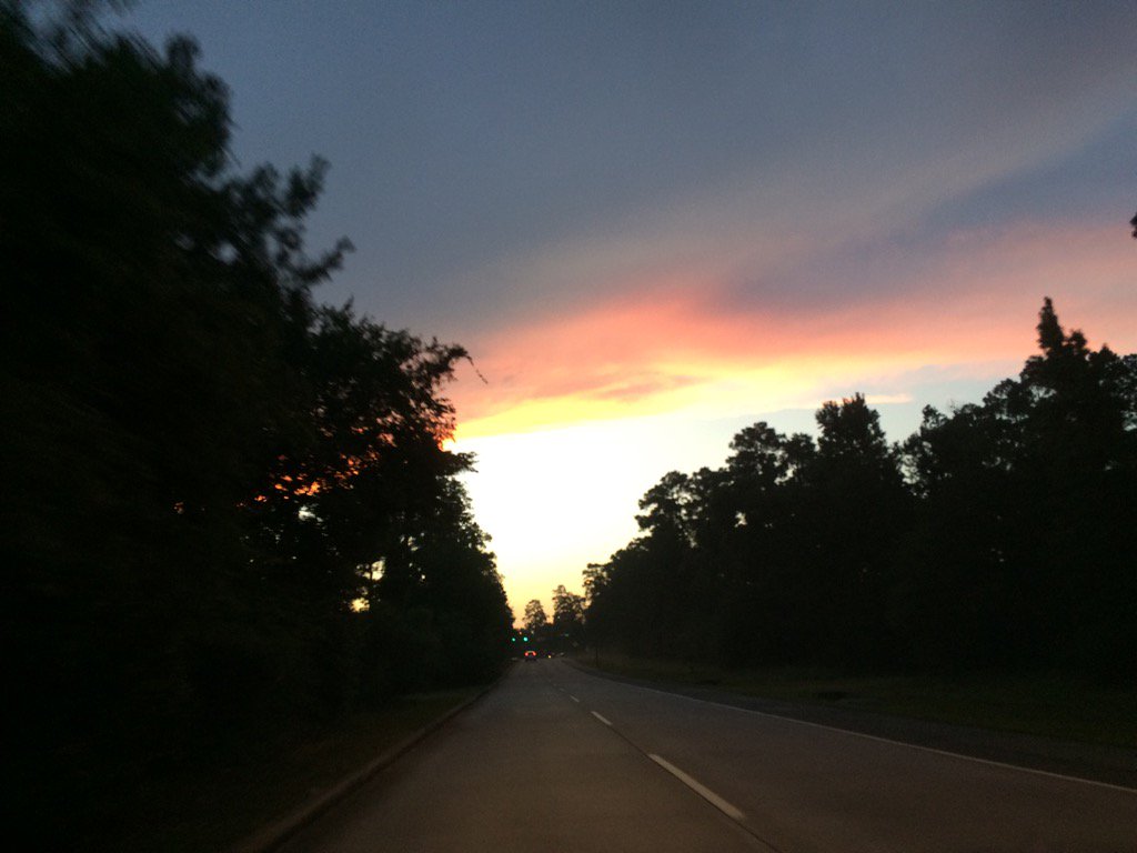
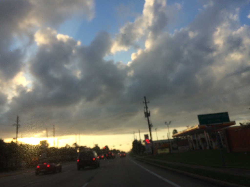
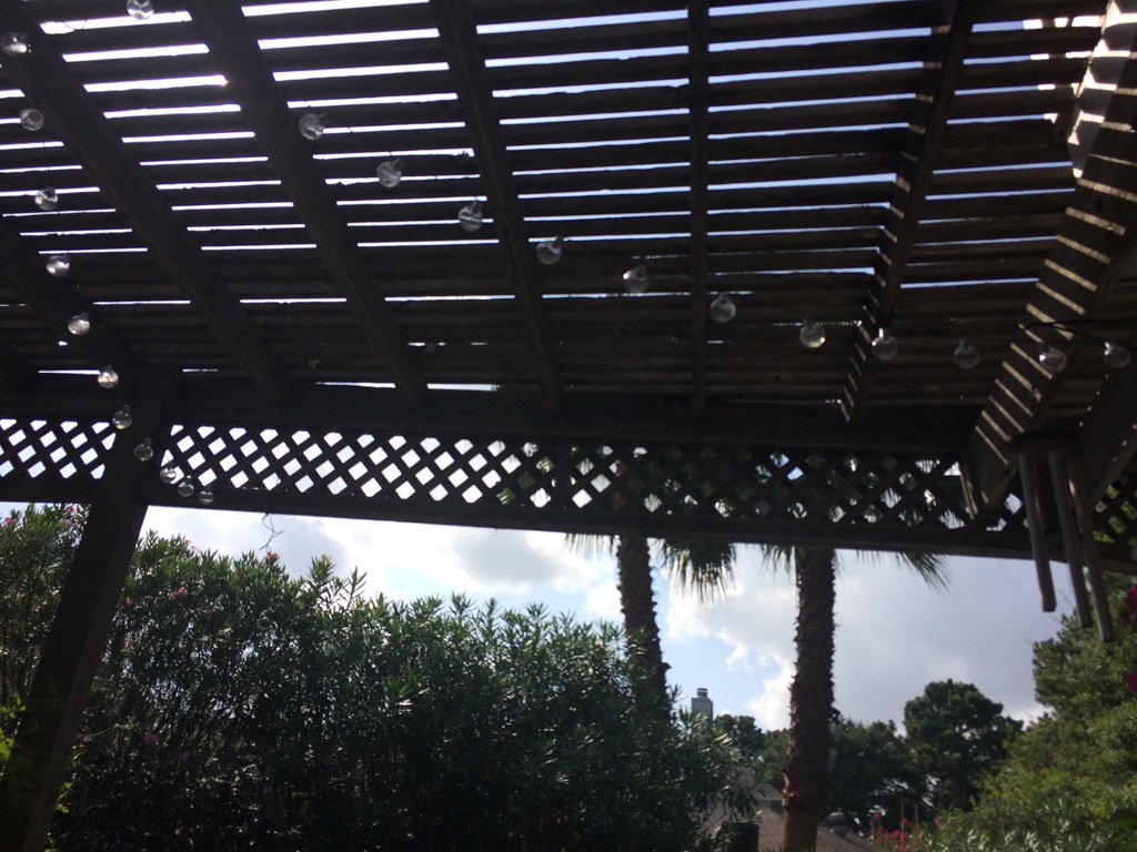
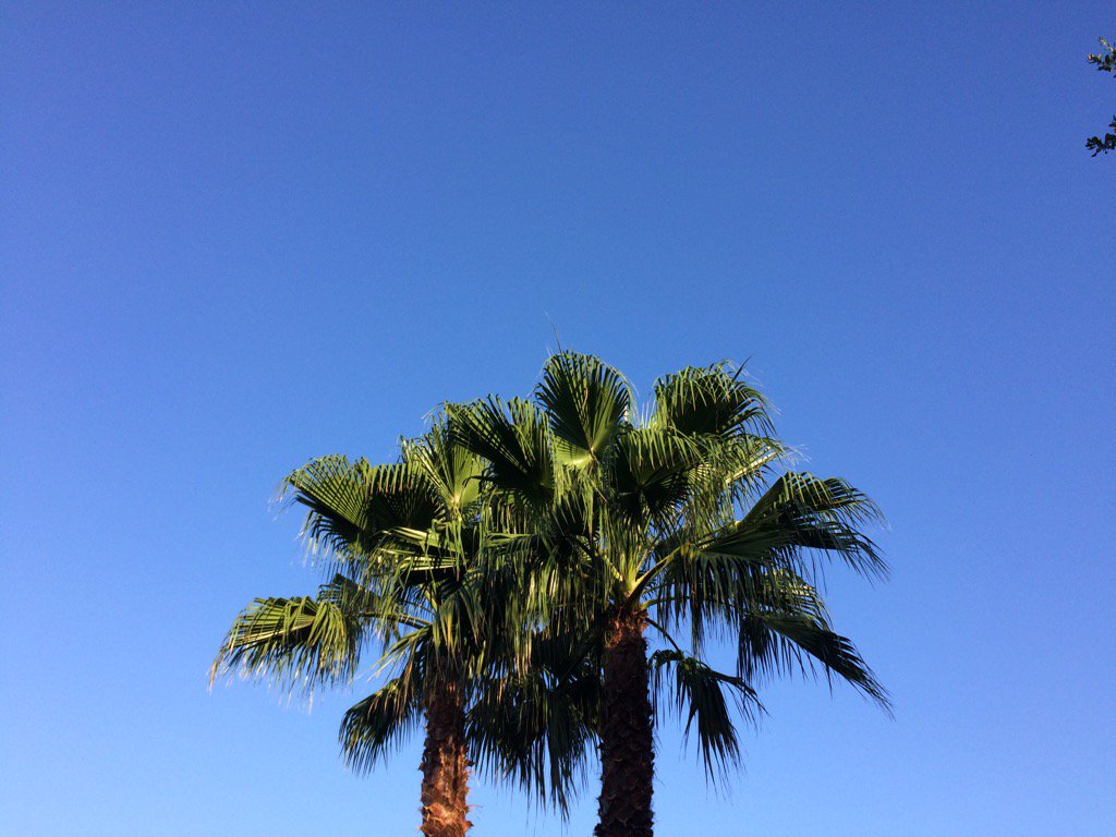
Woodlands, TX, maybe Spring, TX, during the late evening.


Summary: The day was mostly cloudy, sunny, and hot. Scattered light to heavy showers and thunderstorms, looked to have started to pop up in and around the Houston, TX area, sometime during the afternoon and stayed around through the evening. I heard some loud distant rumbles of thunder and light to moderate rain was falling, when I was in the heights of Houston, TX, during the mid and late afternoon, and early evening. Stratus and stratocumulus clouds looked to cover most of the sky, during the morning. Stratus, stratocumulus, and nimbus clouds looked to cover most of the sky, during the afternoon and evening. Stratus clouds looked to cover most of the sky, during the early and maybe late night. The wind speeds looked to be calm with gentle gusts and some moderate to moderately strong gusts. It felt warm during the morning, late afternoon, evening, and night. It felt very warm during the mid-morning. It felt hot during the late morning and early afternoon. It started to feel warm, during the mid-morning. There was a Hazardous Weather Outlook issued for the Houston, TX area, by NOAA. There was also a Special Weather Statement issued for the thunderstorms that passed through the Woodlands, TX and North Houston, TX area, during the late afternoon, or maybe early evening. There were no other watches, warnings, alerts, weather statements/outlooks, or advisories issued for the Houston, TX area, that I know of. The low temps looked to be in the 70's and the high temps looked to be in the 90's, for the Houston, TX area,


Storm Summary: Flash flooding along with thunder and some outted traffic lights accompanied the showers and thunderstorms that passed through the Houston, TX area, during the afternoon and early evening. There were also some strong winds in the Woodlands, TX and maybe north Houston, TX area. There was also some light rain fog, formed from the rain, during late evening and early night.


Locations: Northwest, north, southwest, and heights, Houston, TX, Tomball, TX, Woodlands, TX, Spring, TX, and maybe Bellaire, TX.


Thoughts: I got to see some rain today! I really enjoy the thunder and cool storm clouds. Looks like there is still rain in the forecast for the Houston, TX area, for Saturday and some days next week.


Area Forecast Discussion
Issued by NWS Houston/Galveston, TX

Home | Current Version | Previous Version | Text Only | Print | Product List | Glossary Off
Versions: 1 2 3 4 5 6 7 8 9 10 11 12 13 14 15 16 17 18 19 20 21 22 23 24 25 26 27 28 29 30 31 32 33 34 35 36 37 38 39 40 41 42 43 44 45 46 47 48 49 50

000
FXUS64 KHGX 080258
AFDHGX

Area Forecast Discussion
National Weather Service Houston/Galveston TX
958 PM CDT Fri Jul 7 2017

.UPDATE...
Late day thunderstorms across the city and points northward quickly
died out with the setting sun. Other than a slight eastward expansion
Four Corners-centered upper ridging...there has been and will not be
any mentionable change in the regional weekend weather pattern. Thus
this recent summertime pattern of very warm and humid days...with periods
of early day near coastal showers leading to more numerous scattered
afternoon inland thunderstorms...will continue in the short term.
31

&&

.PREV DISCUSSION... /ISSUED 648 PM CDT Fri Jul 7 2017/

AVIATION...
Typical summertime pattern in place and a fcst of persistence
looks to be the way to go. Mainly VFR, with the exception of
patchy MVFR cigs shortly after sunrise. Isolated/scattered showers
develop near on off the coast late at night, then inland during
the later morning & afternoon.  47

&&

PREV DISCUSSION... /ISSUED 348 PM CDT Fri Jul 7 2017/
Surface observations across SE Texas showed temperatures in the
low/mid 90s and heat index values from 95 to 105F except for the
rain cooled areas from Bay City to Wharton. Radar shows most of
the shower and thunderstorm activity over S Wharton county with a
smattering of activity SW of Houston where higher moisture exists.
There is very little activity north of I-10. Any shower and
thunderstorm activity will be pulse up in intensity before gusting
out. GOES 16 derived total precipitable water shows 1.8 to 1.9
inches along the coast with 1.6 to 1.7 inches north of I-10 hence
not as much activity. GOES 16 derived CAPE shows a similar story
with instability at most 1200 J/kg and with low wind shear, there
is no storm organization. This means storms produce a quick 1 inch
of rain and gust out producing an outflow boundary that could
initiate other storms. That should be the trend the next few hours
until day time heating is lost.

Short range model guidance and CAMs suggest similar conditions
tomorrow and through the weekend. CAMs show a stronger outflow
boundary coming from convection over the Arklatex that could push
into northern portions of SE Texas Saturday afternoon. Still think
wide spread 30 PoPs will cover the chances. Precipitable water
values do not change much over the next couple of days so expect
isolated to widely scattered showers and thunderstorms to be
possible. Upper level ridging tries to build but the ridge
remains over the Rockies with a inverted trough over Mexico. This
means there will be little upper level flow but neutral large
scale vertical motion.

As we continue to track the ridging in the extended, GFS/ECMWF
start to increase heights aloft Tuesday next week. The ECMWF tries
to build the Bermuda ridge westward while the GFS has a flat
ridge across the southern U.S. There may be enough easterly flow
under the ridges that vertical motion remains neutral and there
will be the chance for showers and thunderstorms each day. Chances
look lower than what guidance suggest so the forecast goes with
rain chances a good 5 to 10 percent lower than guidance mainly in
anticipating that there will be more subsidence than lift and
deep moisture will not be as robust.

Main hazards going forward will be heat index values near 100-105
each day but even that is typical for this time of year. Storms
could produce heavy rainfall and lightning but severe weather is
not expected at this time.

Tropics...as expected TD4 has become an open tropical wave with
little if any convection. E PAC has become more active with the
start of TS Eugene. Overall there is not much activity in the
tropics even in the models until the day 8-12 time frame which is
typical for the models this time of year. 39

MARINE...
Generally light onshore winds will continue the next several days
with slightly higher wind speeds over the coastal waters at night.
Rain chances will persist across the bays/Gulf waters through the
weekend...mainly during the overnight and early morning hours. 41

&&

.PRELIMINARY POINT TEMPS/POPS...
College Station (CLL)      75  96  75  95  75 /  10  20  10  30  10
Houston (IAH)              76  94  76  94  76 /  10  30  30  40  10
Galveston (GLS)            81  90  80  90  80 /  10  30  10  30  10

&&

.HGX WATCHES/WARNINGS/ADVISORIES...
TX...NONE.
GM...NONE.
&&

$$

Discussion...31/47


Hazardous Weather Outlook

Hazardous Weather Outlook
National Weather Service Houston/Galveston TX
416 AM CDT Fri Jul 7 2017

TXZ163-164-176>179-195>200-210>214-226-227-235>238-080930-
Austin-Brazoria-Brazos-Burleson-Chambers-Colorado-Fort Bend-
Galveston-Grimes-Harris-Houston-Jackson-Liberty-Madison-Matagorda-
Montgomery-Polk-San Jacinto-Trinity-Walker-Waller-Washington-
Wharton-
416 AM CDT Fri Jul 7 2017

This hazardous weather outlook is for portions of Southeast Texas..

.DAY ONE...Today and Tonight

Scattered showers and thunderstorms will be possible today. The
storms will be slow moving and some areas could receive brief but
heavy rain.

In addition to the showers, heat index values will range between
100 and 105 degrees today.

.DAYS TWO THROUGH SEVEN...Saturday through Thursday

Scattered showers and thunderstorms will persist on Saturday and
Sunday. Storm motion will again be slow so a few of the stronger
storms could produce locally heavy rain.

Heat index values will remain between 100 and 105 degrees.

.SPOTTER INFORMATION STATEMENT...

Spotter activation will not be needed.

$$

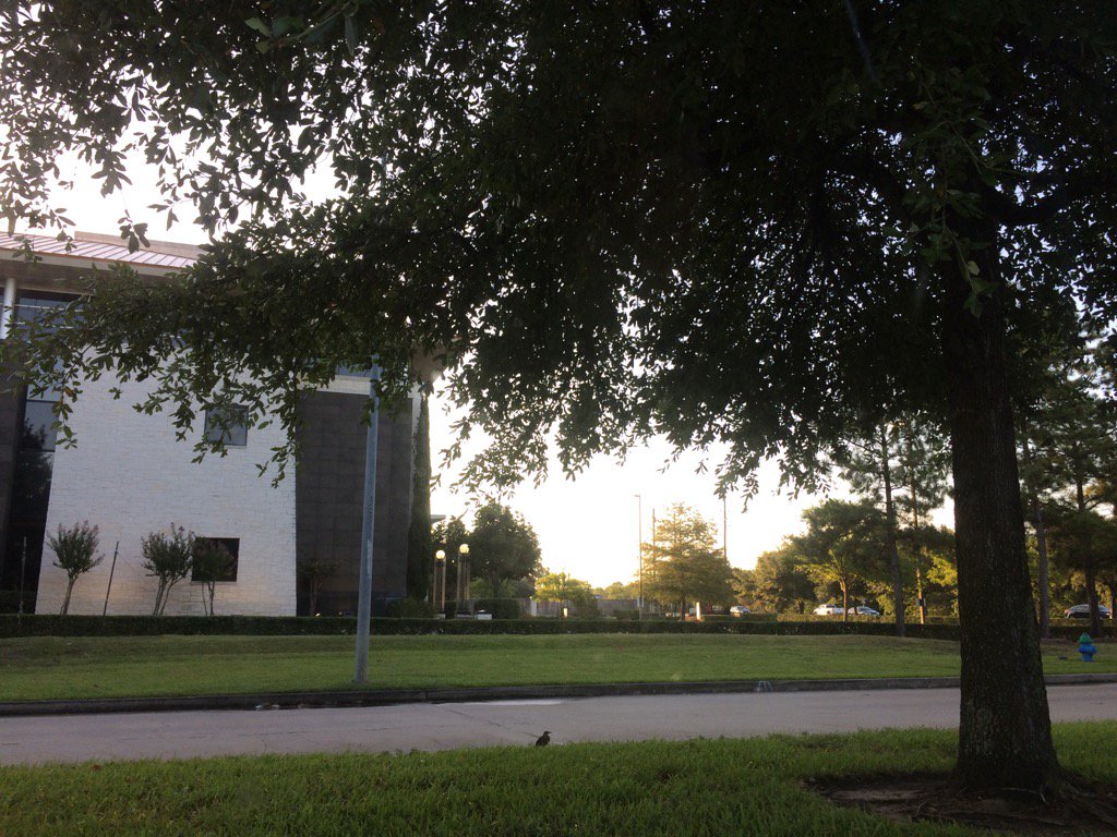
Thursday, July 6, 2017

Jul. 6 17

Northwest Houston, TX, during the early morning.
Northwest Houston, TX, during the early evening.


Summary: The day was hot, sunny, and dry. Scattered light to heavy showers and thunderstorms looked to pop up in and around the Houston, TX area, during the morning, afternoon, evening, and maybe night. I didn't see, feel, or hear any rain drops. Stratus with maybe some stratocumulus clouds looked to be scattered across the sky, during the morning. Stratus and stratocumulus clouds with some nimbus clouds, looked to cover most of the sky, during the afternoon, evening, and maybe night. It felt warm during the early and mid-morning, late evening, and night. It felt hot during the late morning, early afternoon, and early evening. it started to feel really hot, during the mid-afternoon. It felt really hot, during the late afternoon. There was a Hazardous Weather Outlook issued for the Houston, TX area, by NOAA. There were no other watches, warnings, alerts, advisories, or weather statements/outlooks issued for the Houston, TX area, that I know of. The low temps looked to be in the 70's and the high temps looked to be in the 90's with maybe some 80's, for the Houston, TX area.


Storm Summary: I didn't see, or hear about any flooding, or damage reports.


Locations: Northwest Houston, TX.


Thoughts: It has been feeling really hot lately. I really hope I get to see some rain soon. The rain has just been passing over me these past couple of days. But there is still more rain in the forecast, before next weeks forecasted heat wave. So there is still a chance!


Hazardous Weather Outlook

Hazardous Weather Outlook
National Weather Service Houston/Galveston TX
345 AM CDT Thu Jul 6 2017

TXZ163-164-176>179-195>200-210>214-226-227-235>238-070845-
Austin-Brazoria-Brazos-Burleson-Chambers-Colorado-Fort Bend-
Galveston-Grimes-Harris-Houston-Jackson-Liberty-Madison-Matagorda-
Montgomery-Polk-San Jacinto-Trinity-Walker-Waller-Washington-
Wharton-
345 AM CDT Thu Jul 6 2017

This hazardous weather outlook is for portions of Southeast Texas..

.DAY ONE...Today and Tonight

Heat index values are expected to climb into the 100-107 range
late morning through this evening.

Isolated to scattered showers and thunderstorms will be possible
today. Some of these may be capable of brief heavy rainfall.

.DAYS TWO THROUGH SEVEN...Friday through Wednesday

Heat index values may climb into the 100-106 range late morning
through the evening hours each day.

Isolated to scattered showers and thunderstorms will be possible
each day. Some of these may be capable of brief heavy rainfall.

.SPOTTER INFORMATION STATEMENT...

Spotter activation will not be needed.

$$
Wednesday, July 5, 2017

Jul. 5 17

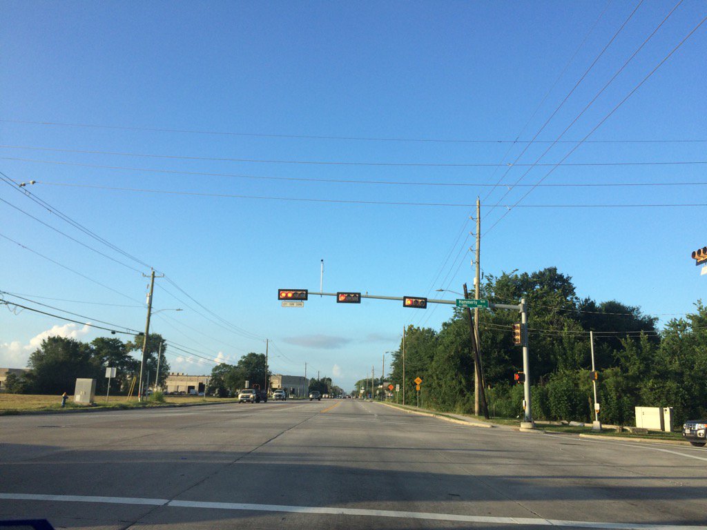
Northwest Houston, TX, during the early morning.
Northwest Houston, TX, during the early afternoon.
Northwest Houston, TX, during the early evening.


Summary: The day was hot, sunny, and dry. Isolated to scattered, light to heavy showers and maybe a few thunderstorms were swirling in and around the Houston, TX area, during the morning, afternoon, evening, and maybe night. I didn't see, feel, or hear any rain drops. Stratus, stratocumulus, and some nimbus clouds were scattered to widely scattered across the sky, during the morning, afternoon, and evening. The wind speeds were calm with gentle gusts and some moderate gusts, during the morning, afternoon. The wind speeds were gentle with moderate to moderately strong gusts, during the evening. It felt warm during the early and mid-morning, late evening, and night. It felt hot during the late morning, afternoon, and early evening. There was a Hazardous Weather Outlook issued by NOAA, for the Houston, TX area. There were no other watches, warnings, alerts, advisories, or weather statements/outlooks issued for the Houston, TX area, that I know of. The low temps looked to be in the 70's and the high temps looked to be in the 90's, for the Houston, TX area.


Storm Summary: There were no reports of flooding, or storm damage, for the Houston, TX area, that I know of.


Locations: Northwest Houston, TX.


Thoughts: More hot weather. I wish I could have seen some rain, but oh well.


Area Forecast Discussion
Issued by NWS Houston/Galveston, TX

Home | Current Version | Previous Version | Text Only | Print | Product List | Glossary Off
Versions: 1 2 3 4 5 6 7 8 9 10 11 12 13 14 15 16 17 18 19 20 21 22 23 24 25 26 27 28 29 30 31 32 33 34 35 36 37 38 39 40 41 42 43 44 45 46 47 48 49 50

000
FXUS64 KHGX 060025
AFDHGX

Area Forecast Discussion
National Weather Service Houston/Galveston TX
725 PM CDT Wed Jul 5 2017

.AVIATION...
Primarily VFR with brief periods of MVFR ceilings over more inland
hubs around sunrise tomorrow morning. Expecting a repeat of today
as it relates to shower and storm coverage. A moist and unstable
enough atmosphere should support morning near coastal showers and
isolated storms that will transition to metro area activity into
the afternoon hours. Early day variable to south breezes will
back more easterly through the day with the passing sea breeze
boundary. 31

&&

.PREV DISCUSSION... /ISSUED 315 PM CDT Wed Jul 5 2017/

DISCUSSION...
Looking at the surface analysis there is really not much to
analyze. There is a weak pressure gradient so not much wind for SE
Texas and it is hot/humid. Heat index values have been any where
from 95F to 105F across the area. As far as the upper levels of
the atmosphere are concerned, there is a little more to analyze
than the surface. Upper level ridge was located over the
Rockies/Four Corners region with a short wave trough over the
Ozarks. SE Texas is in a weakness in the ridge so there have been
a few showers and storms to pop up today. Overall subsidence is
winning over the convection as there are still 590 dm 500mb
heights over the area. Radar is showing signs of a developing sea
breeze along the coast. This may initiate a few storms this
afternoon but overall think 20 PoPs will be on track instead of
the 30-40 PoPs previously in the forecast. Conditions supported
higher rain chances with better moisture but that has not exactly
panned out so far this afternoon. There is still time for
scattered activity to develop but looking less likely.

Now through the end of September the forecast hinges largely on 2
things - tropics and upper level ridging. Weak to no ridging
usually yields rain chances. Strong ridging means no rain
chances. And then an approaching tropical cyclone makes for a
messy forecast scenario. As far as ridging is concerned, the
summer time ridge should be weaker over SE Texas through Friday
maybe Saturday with NW flow aloft over the plains since the core
of the ridge will be over the Rockies. So the forecast will keep
some mention of showers and thunderstorms through that time. The
ridge looks to expand over Texas and the Plains Sunday through
early next week so expect low to no chance of rain for the area.
High temperatures will be in the typical mid 90s and heat index
values in the 100-105F range. The ridge expands more for the
middle of next week. Forecast model blends seem to be too high on
rain chances given the ridge, so rain chances have been lowered by
a good 10 percent across the area in the extended forecast
compared to model guidance output.

Tropics...NHC is tracking a tropical disturbance in the middle of
the Atlantic and give it a 60 percent chance of development in
the next 5 days. Model guidance keeps the system in the Atlantic
turning towards Bermuda. No concern for the Gulf. 39

&&

MARINE...
Not a lot of changes with the marine forecast as generally light to
moderate onshore winds prevail. Wind speeds should pick up over the
coastal waters at night and during the day over the bays. Scattered
showers and isolated thunderstorms will be possible across the Gulf
waters overnight tonight...then spreading into the bays toward sun-
rise early tomorrow morning. Upper level ridging building back over
the area from the west will help to lower rain chances by Friday on
through the weekend. 41

&&

.PRELIMINARY POINT TEMPS/POPS...
College Station (CLL)      75  95  74  95  75 /  10  20  10  30  10
Houston (IAH)              76  94  76  93  76 /  10  30  10  40  10
Galveston (GLS)            81  88  80  88  80 /  10  20  10  40  20

&&

.HGX WATCHES/WARNINGS/ADVISORIES...
TX...NONE.
GM...NONE.
&&

$$

Discussion...42
Aviation/Marine...31


Hazardous Weather Outlook

Hazardous Weather Outlook
National Weather Service Houston/Galveston TX
336 AM CDT Wed Jul 5 2017

TXZ163-164-176>179-195>200-210>214-226-227-235>238-060845-
Austin-Brazoria-Brazos-Burleson-Chambers-Colorado-Fort Bend-
Galveston-Grimes-Harris-Houston-Jackson-Liberty-Madison-Matagorda-
Montgomery-Polk-San Jacinto-Trinity-Walker-Waller-Washington-
Wharton-
336 AM CDT Wed Jul 5 2017

This hazardous weather outlook is for portions of Southeast Texas..

.DAY ONE...Today and Tonight

Heat index values are expected to climb into the 100-106 range
late morning through this evening.

Isolated to scattered showers and thunderstorms will be possible
today. Some of these may be capable of brief heavy rainfall.

An elevated risk for rip currents will exist along Gulf-facing
beaches.

.DAYS TWO THROUGH SEVEN...Thursday through Tuesday

Heat index values may climb into the 100-106 range late morning
through the evening hours each day.

Isolated to scattered showers and thunderstorms will be possible
each day. Some of these may be capable of brief heavy rainfall.

An elevated risk for rip currents is possible along Gulf-facing
beaches through Friday.

.SPOTTER INFORMATION STATEMENT...

Spotter activation will not be needed.

$$
Tuesday, July 4, 2017

Jul. 4 17

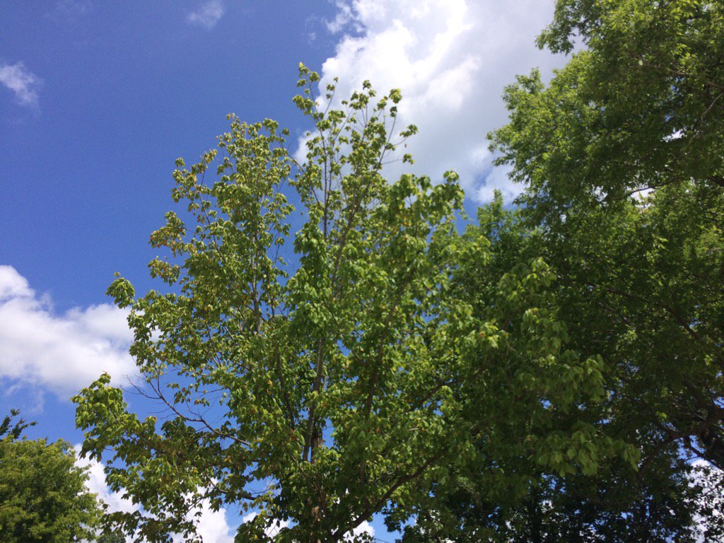
Northwest Houston, TX, during the late morning.
Northwest Houston, TX, during the early afternoon.
Northwest Houston, TX, during the early evening.
Northwest Houston, TX, during the late evening.


Summary: The day was sunny, hot, and dry. Light to heavy, mostly light, isolated showers and maybe a few thunderstorms were in and around the Houston, TX area, during the morning, afternoon, evening, and night. I didn't see, feel, or hear any rain drops. Stratus and stratocumulus clouds looked to be scattered across the sky, during the morning, afternoon, and early evening. The sky became clear, during the late evening and remained clear through the early and maybe late night. The wind speeds looked to be calm with some gentle and moderate gusts. It felt warm during the early and mid-morning, late evening, and night. It felt hot during the late morning, afternoon, and early evening. There was a Hazardous Weather Outlook issued for the Houston, TX area, by NOAA, for today. There were no other watches, warnings, alerts, advisories, or weather statements/outlooks issued for the Houston, TX area, that I know of. The low temps looked to be in the 70's and the high temps looked to be in the 90's, for the Houston, TX area.


Storm Summary: There were no reports of flooding, or storm damage with the showers and possible thunderstorms.


Locations: Northwest Houston, TX


Thoughts: Well I almost got to see some rain today. A group of showers and possible thunderstorms that was to the northwest of Houston, TX, disorganized right before it passed over my house, during the late morning. Another hot and sunny day. Maybe tomorrow will be better.


Hazardous Weather Outlook

Hazardous Weather Outlook
National Weather Service Houston/Galveston TX
403 AM CDT Tue Jul 4 2017

TXZ163-164-176>179-195>200-210>214-226-227-235>238-050915-
Austin-Brazoria-Brazos-Burleson-Chambers-Colorado-Fort Bend-
Galveston-Grimes-Harris-Houston-Jackson-Liberty-Madison-Matagorda-
Montgomery-Polk-San Jacinto-Trinity-Walker-Waller-Washington-
Wharton-
403 AM CDT Tue Jul 4 2017

This hazardous weather outlook is for portions of Southeast Texas..

.DAY ONE...Today and Tonight

Heat index values are expected to climb into the 100-105 range
late morning through this evening.

An elevated risk for rip currents will exist along Gulf-facing
beaches.

.DAYS TWO THROUGH SEVEN...Wednesday through Monday

Heat index values may climb into the 100-105 range late morning
through the evening hours each day.

Isolated to scattered showers and thunderstorms will be possible
each day. Some of these may be capable of brief heavy rainfall.

An elevated risk for rip currents is possible along Gulf-facing
beaches through mid to late week.

.SPOTTER INFORMATION STATEMENT...

Spotter activation will not be needed.

$$
Monday, July 3, 2017

Jul. 3 17


Northwest Houston, TX, during the early morning.
Northwest Houston, TX, during early evening.
Northwest Houston, TX, during the late evening.


Summary: The day was hot, sunny, and dry. There were no showers, or thunderstorms anywhere in, or near the Houston, TX area, that I know of. I don't remember seeing any rain on the radar anywhere in, or near the Houston, TX area. I didn't feel, hear, or see any rain drops. Alto stratus and mostly stratus and stratocumulus clouds looked to be scattered across the sky, during the morning, afternoon, and early evening. The sky looked to be becoming clear, during the late evening. The sky looked to be clear, or maybe mostly clear, during the early night. The wind speeds looked to be calm with moderate to moderately strong gusts. It felt warm during the early and mid-morning, late evening, and night. It felt hot during the late morning and afternoon. It felt really warm during the early evening. There were no watches, warnings, alerts, advisories, or weather statements issued for the Houston, TX area, that I know of. The low temps looked to be in the 70's and the high temps looked to be in the 90's, for the Houston, TX area. 


Locations: Northwest Houston, TX.


Thoughts: Lots of sun today. Maybe some rain chances later this week.

Sunday, July 2, 2017

Jul. 2 17

Northwest Houston, TX, during the late afternoon.
Northwest Houston, TX, during the early evening.
Northwest Houston, TX, during the late evening.


Summary: The day was hot, sunny, and dry. light to heavy, (mostly light) showers and maybe a few thunderstorms were isolated across the Houston, TX area, during the morning, afternoon, evening, and maybe night. I didn't see, feel, or hear any rain drops. Stratus and stratocumulus clouds looked to be scattered across the sky, during the morning, afternoon, evening, and maybe night. The wind speeds looked to be calm with gentle to moderate gusts with some moderately strong gusts. It felt warm during the morning and night. It felt hot during the afternoon and early evening. It felt very warm during the late evening. There were no watches, warnings, alerts, weather statements, or advisories issued for the Houston, TX area, that I know of. The low temps looked to be in the 70's and the high temps looked to be in the 90's, for the Houston, TX area.


Storm Summary: I didn't see. or hear about any flooding, or storm damage from any of the isolated showers and possible thunderstorms.


Locations: Northwest Houston, TX.


Thoughts: Nothing much going on here in Houston, TX. Just some chance showers throughout the week...

Jul. 1 17

Northwest Houston, TX, during the early evening.
Northwest Houston, TX, during the late evening.


Summary: The day was sunny, hot, and windy. Maybe some isolated light showers. I don't remember seeing any rain on the radar. I didn't see, feel, or hear any rain drops. Stratus with mostly Stratocumulus and maybe some alto stratus and cirro stratus clouds looked to be scattered across the sky, during the morning, afternoon, evening, and maybe night. The wind speeds looked to be gentle with moderate to moderately strong gusts and some really strong gusts. It felt warm during the morning and night. It felt hot during the afternoon. It felt very warm during the late evening. There were no watches, warnings, alerts, advisories, or weather statements issued for the Houston, TX area, that I know of. The low temps looked to be in the 70's and the high temps looked to be in the 90's, for the Houston, TX area.


Locations: Northwest Houston, TX.


Thoughts: Another hot day with some high wind speeds. I enjoyed the wind. I like windy days.