Friday, July 14, 2017

Jul. 14 17

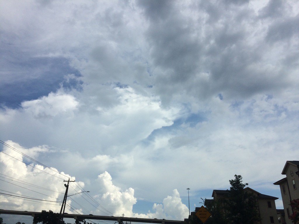
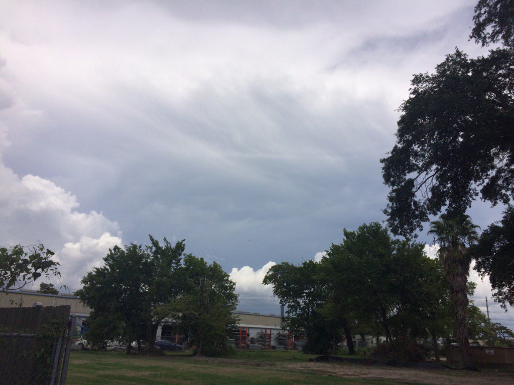
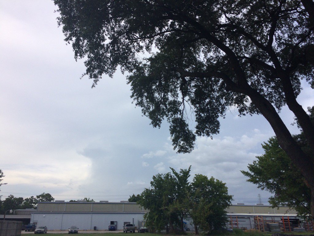
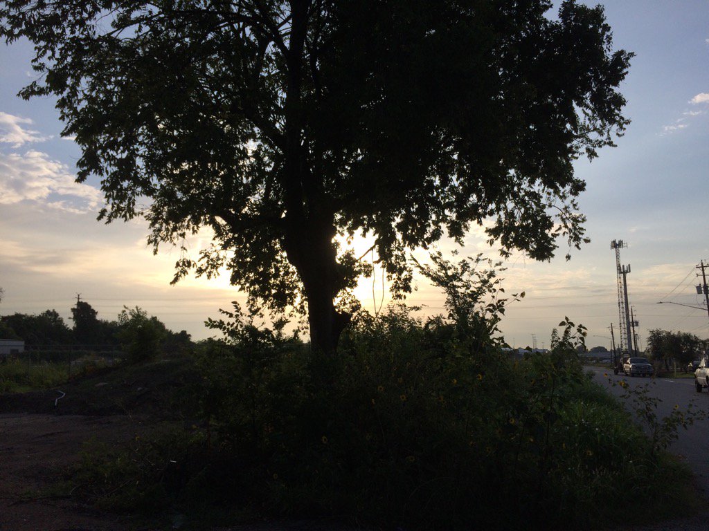
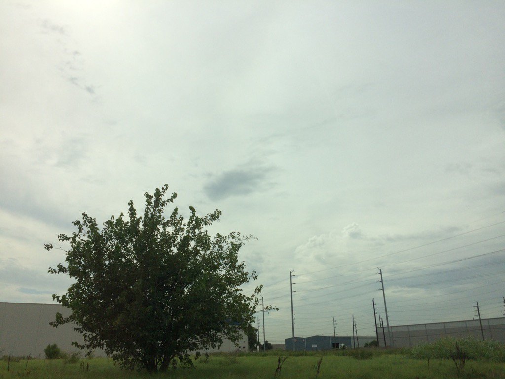
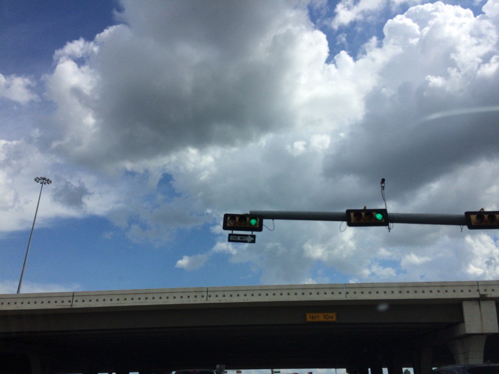
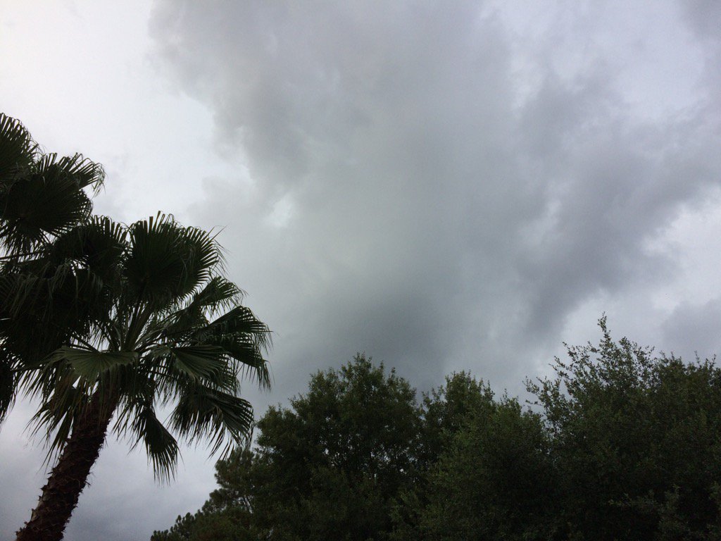
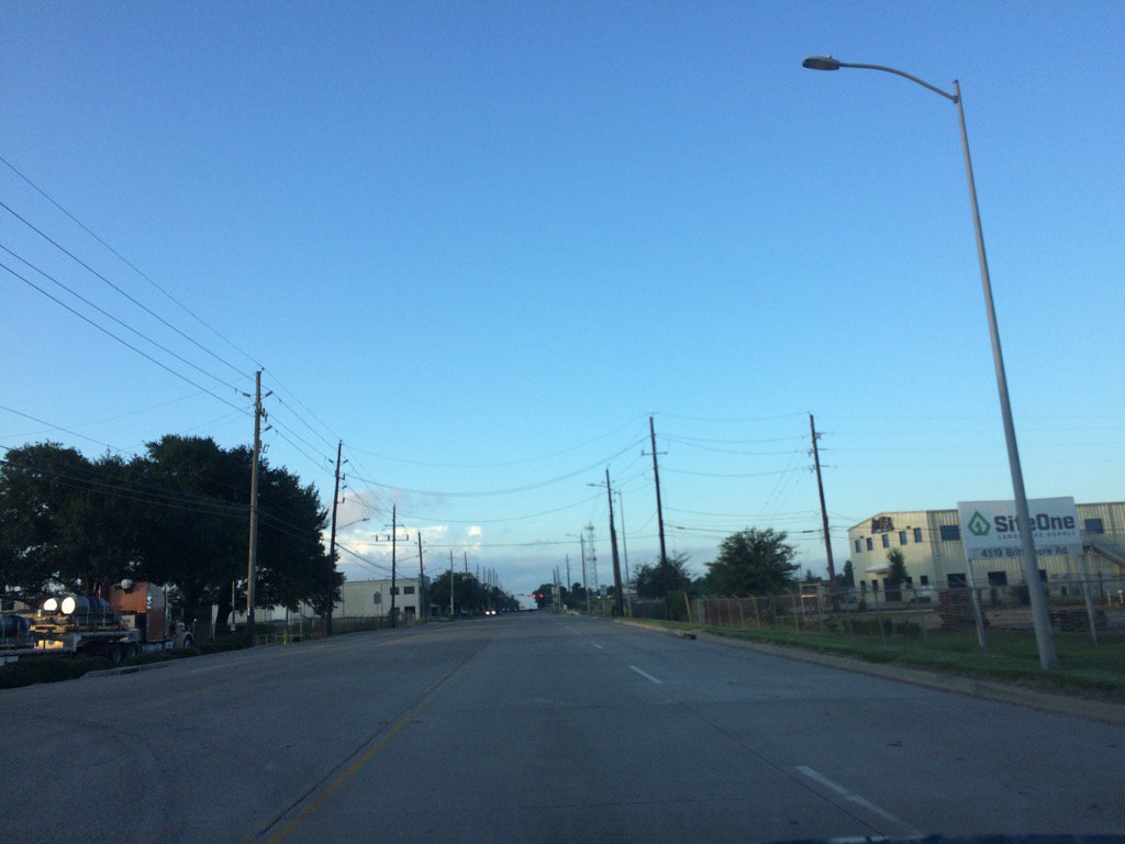
Northwest Houston, TX, during the early morning.
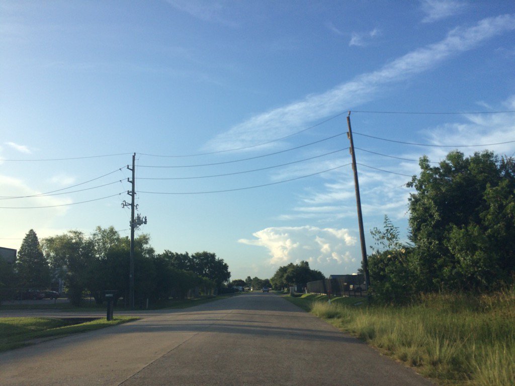
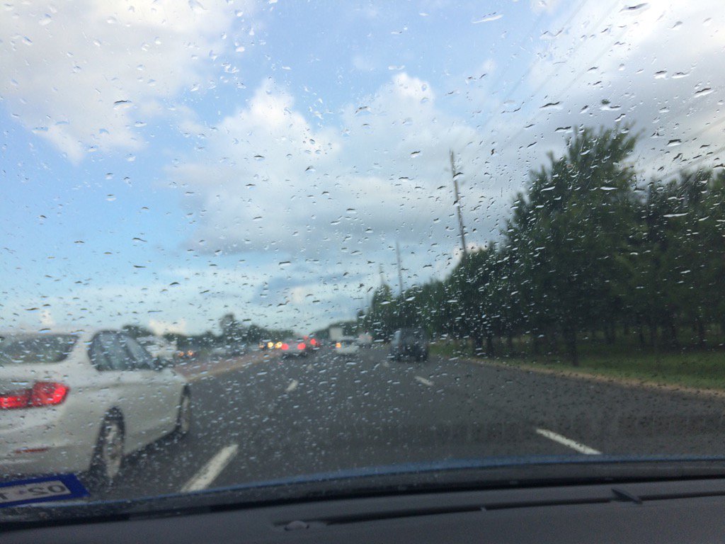
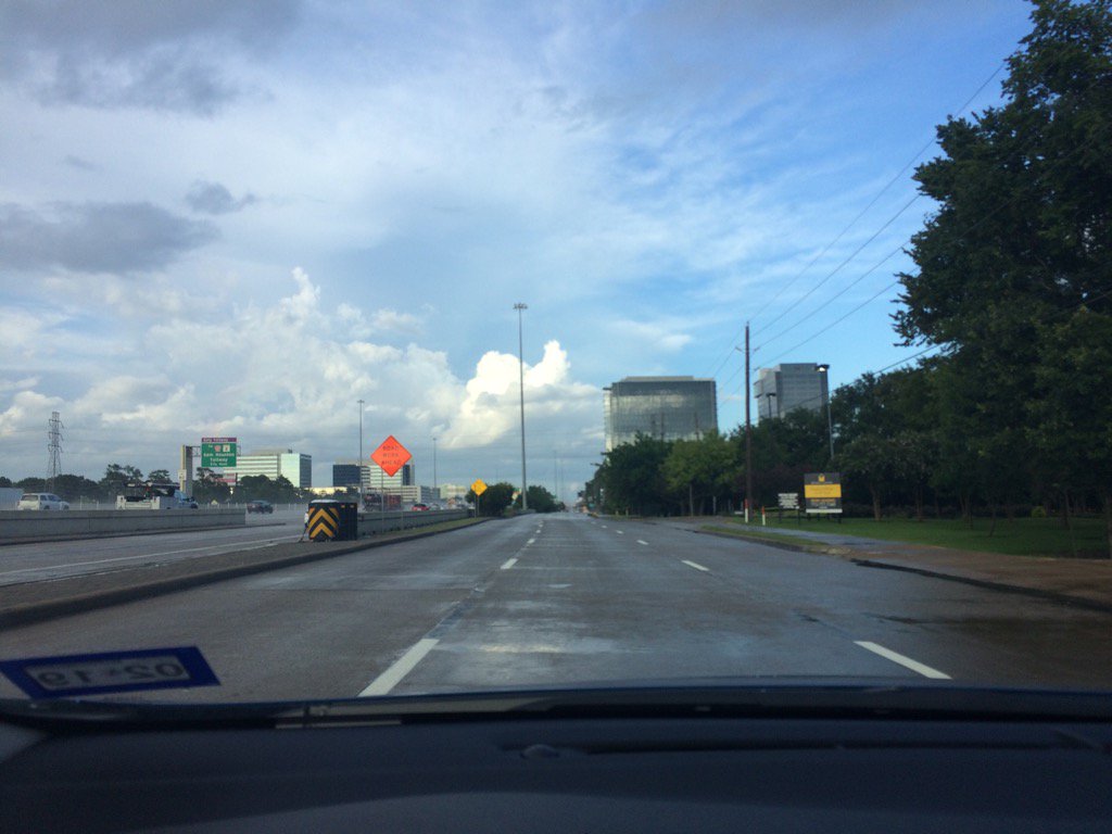
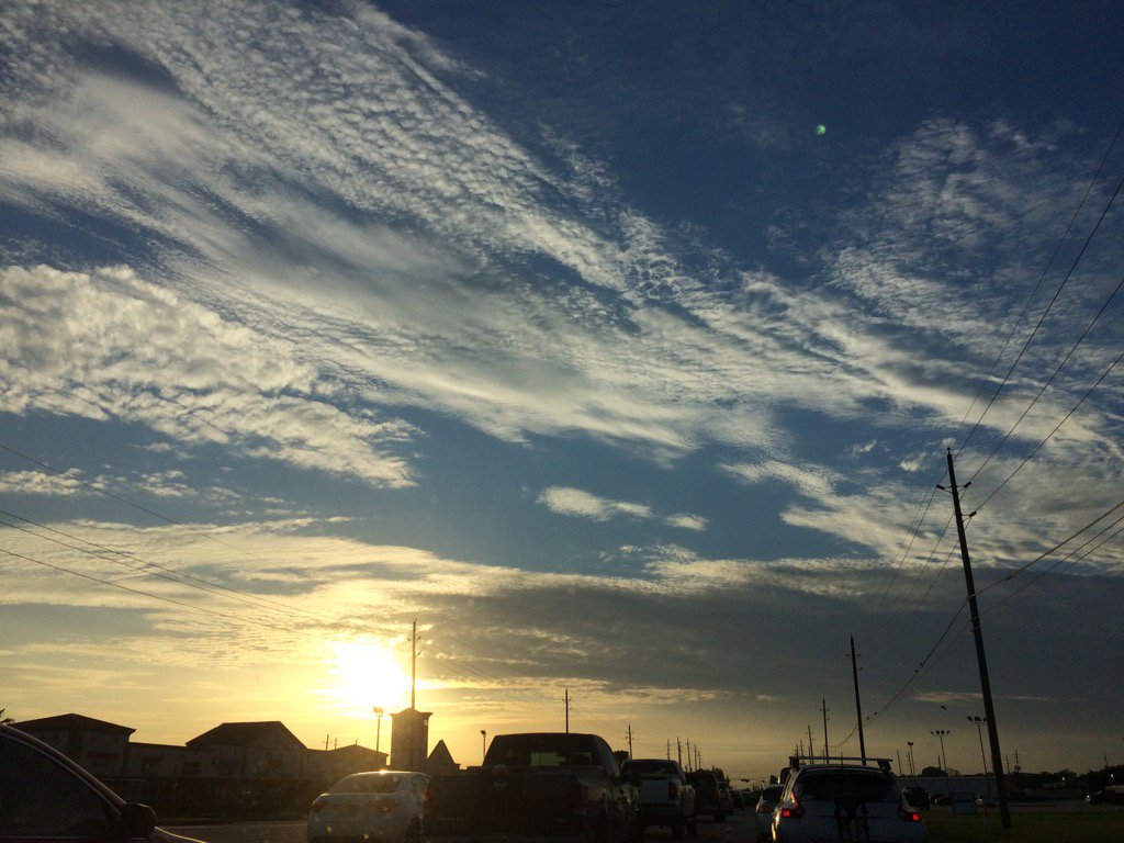
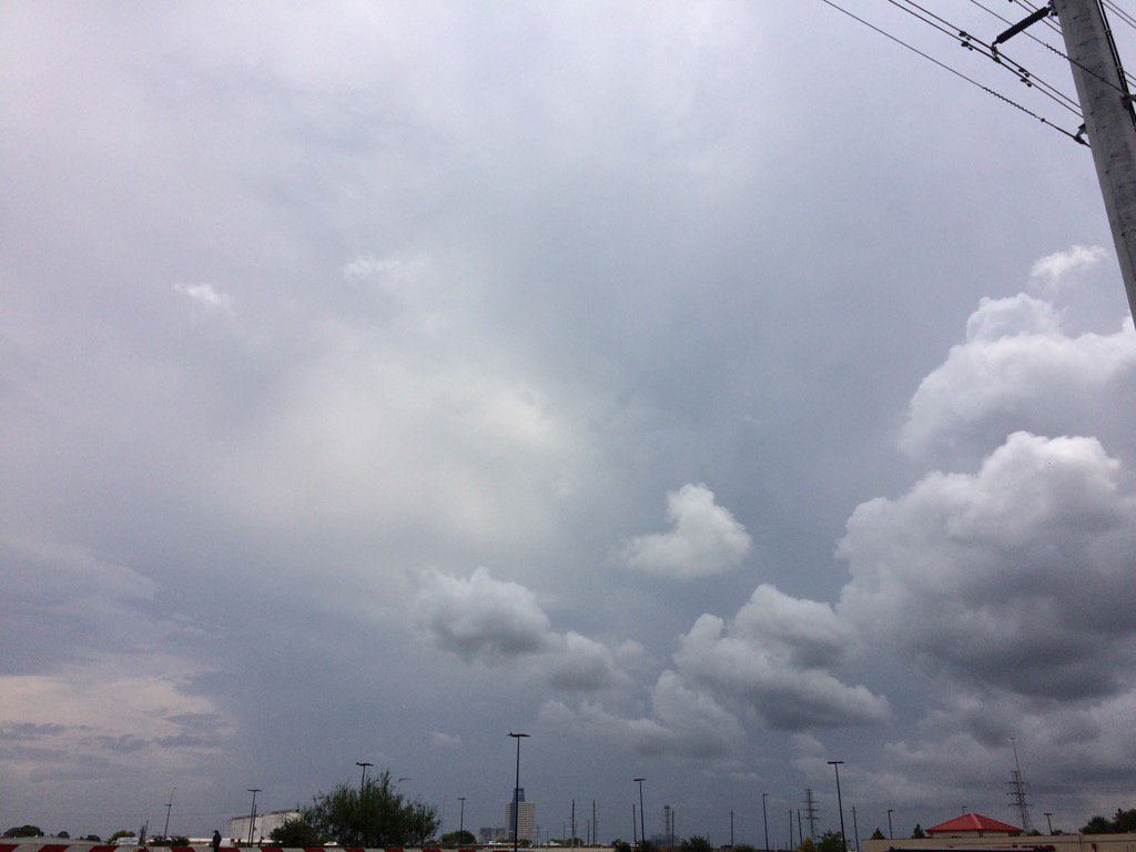
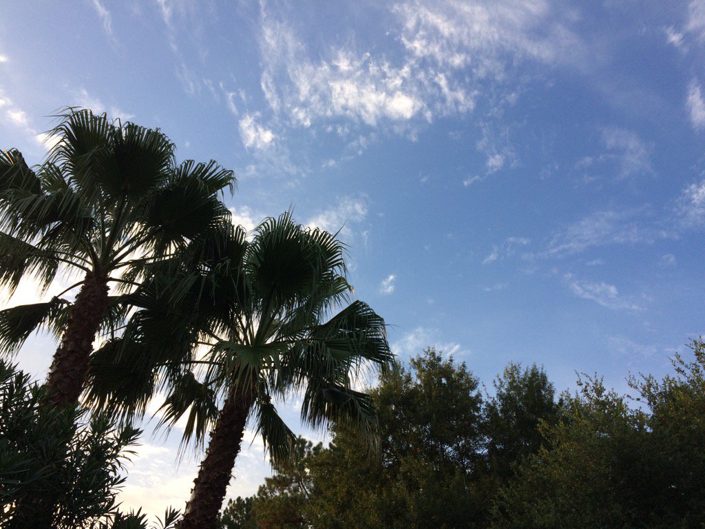
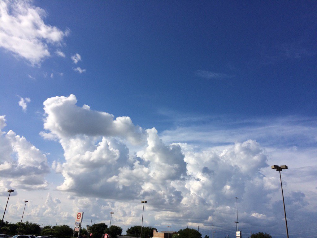
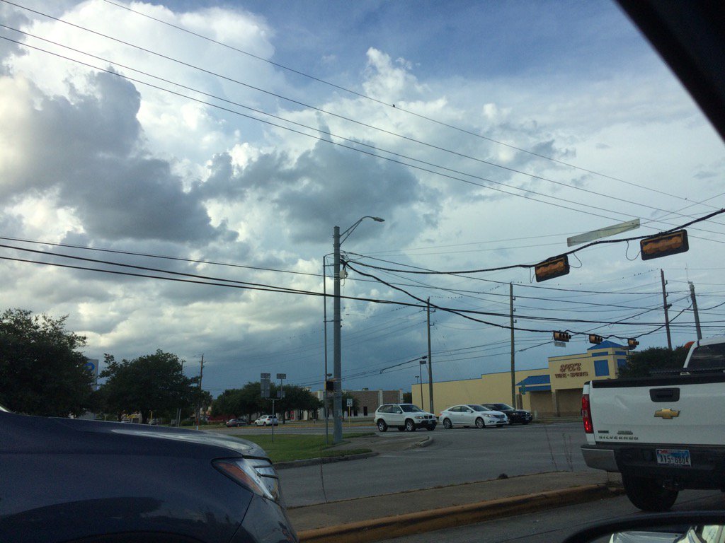
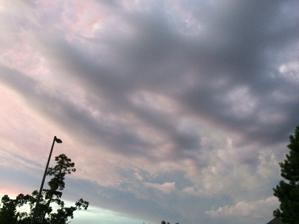
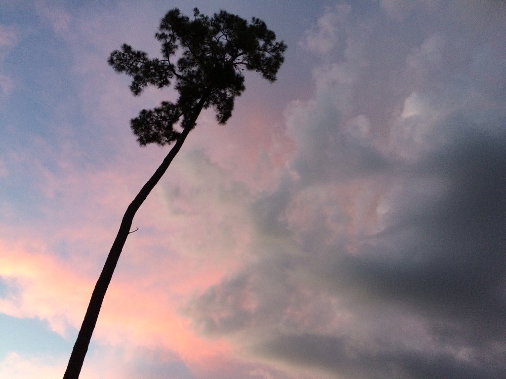
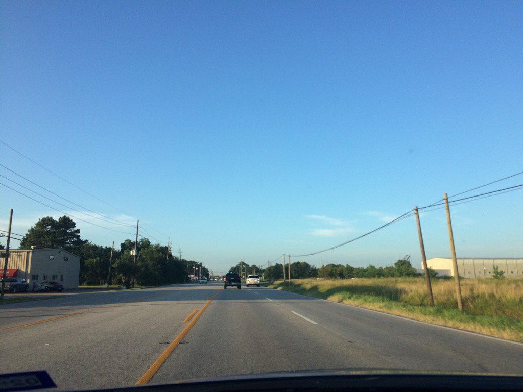
Northwest Houston, TX, during the early evening.


Summary: The day was hot, sunny, and dry. Mostly light to moderate isolated showers and a few isolated heavy thunderstorms popped up in and around the Houston, TX area, during the morning, afternoon, evening, and night. I didn't feel, or see any rain drops. Alto stratus with stratocumulus clouds looked to be scattered across the sky, during the early morning. Alto stratus and stratocumulus clouds looked to be widely scattered across the sky, during the mid and late morning, afternoon, and evening. There looked to be some thin alto, or maybe cirro stratus clouds in the sky, during the night. The wind speeds looked to be calm with some gentle to moderate gusts and maybe some moderately strong gusts. It felt warm during the early morning, late evening, and night. It started to feel hot, during the mid-morning. It felt hot during the late morning and early evening. It started to feel really hot, during the early, or maybe mid-afternoon. It felt really hot, during the late afternoon. There were no watches, warnings, alerts, advisories, or weather statements/outlooks issued for the Houston, TX area, that I know of. The low temps looked to be in the 70's and the high temps looked to be in the 90's, for the Houston, TX area.


Storm Summary: I didn't see, or hear about any flooding, or storm damage.


My Storm Summary: I didn't see, feel, or hear any showers, or thunderstorms.


Locations: Northwest Houston, TX.


Thoughts: A hot day today. Still more rain chances ahead.

Thursday, July 13, 2017

Jul. 13 17

Northwest Houston, TX, during the early morning.
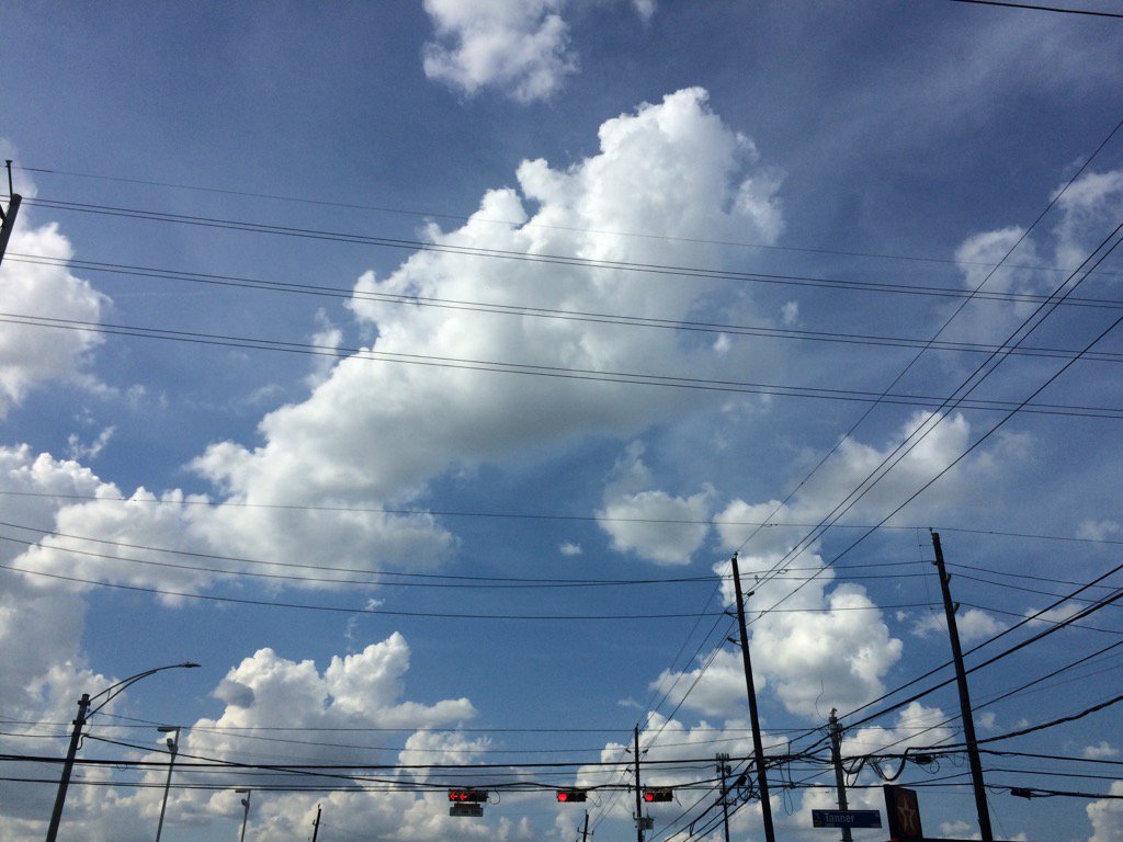
West Houston, TX, during the late afternoon.
West, or maybe northwest Houston, TX, during the early evening.
Northwest Houston, TX, during the early evening.


Summary: The day was mostly cloudy, a little wet, and calm. Mostly isolated with some scattered, mostly light to moderate showers and isolated heavy thunderstorms popped up in and around the Houston, TX area, during the morning, afternoon, evening, and early night. There looked to be some lingering light to moderate showers on the radar, in and around the Houston, TX area, during the late night. A isolated heavy thunderstorm with cloud to ground lightning passed over the place where i work in northwest Houston, TX, during the early afternoon and continued on through the mid-afternoon. I didn't see any more rain after that, but I did hear some more thunder from a nearby isolated heavy thunderstorm, during the late evening, at my house in northwest Houston, TX. Alto stratus and stratus with some stratocumulus clouds partly covered to scattered the sky, during the morning. Alto stratus, stratus, and stratocumulus with some nimbus clouds looked to cover most of the sky, during the afternoon, evening, and maybe early night. The sky looked to be partly covered in alto, or maybe cirro stratus clouds, during the late night. The wind speeds looked to be calm with some gentle to moderate and some moderately strong gusts. It felt warm during the morning, mid and late afternoon, evening, and night. It felt very warm during the mid-morning. It felt hot, almost very hot, during the late morning and most of the early afternoon. It started to feel warm with the thunderstorm, during the early afternoon. There was a Hazardous Weather Outlook issued for the Houston, TX area, by NOAA. There were no other watches, warnings, alerts, advisories, or weather statements/outlooks issued for the Houston, TX, that I know of. The low temps looked to be in the 70's and the high temps looked to be in the 90's, for the Houston, TX area.


Storm Summary: I didn't see, or hear any reports of flooding and there was no reported damage. Just some cloud to ground lightning strikes and a few power outages.


My Storm Summary: A strong thunderstorm passed over where I work in northwest Houston, TX, during the early afternoon bringing heavy rain and cloud to ground lightning strikes. The heavy rain became a light rain/drizzle with still some loud rumbles of thunder and possible cloud to ground lightning strikes, during the mid-afternoon. That was the last time that I saw rain. The power did go out for a couple of minutes where I work in northwest Houston, TX, sometime during the early, or maybe mid-afternoon. I didn't see any flooding, just some big puddles and really wet roads. I heard some more thunder, during the late evening, from a nearby heavy thunderstorm, at my house in northwest Houston, TX. I didn't see any rain from this thunderstorm. I didn't see any more showers, or thunderstorms after that.


Locations: Northwest and west Houston, TX.


Thoughts: I was happy to see all the lightning with loud thunder and heavy rain today. There are still a lot more rain chances on the way this week and next for the Houston, TX area. I am enjoying this stormy summer.


Hazardous Weather Outlook

Hazardous Weather Outlook
National Weather Service Houston/Galveston TX
326 AM CDT Thu Jul 13 2017

GMZ335-TXZ163-164-176>179-195>200-210>214-226-227-235>238-141300-
Austin-Brazoria-Brazos-Burleson-Chambers-Colorado-Fort Bend-
Galveston-Galveston Bay-Grimes-Harris-Houston-Jackson-Liberty-
Madison-Matagorda-Montgomery-Polk-San Jacinto-Trinity-Walker-
Waller-Washington-Wharton-
326 AM CDT Thu Jul 13 2017

This hazardous weather outlook is for portions of Southeast Texas..

.DAY ONE...Today and Tonight

Isolated to scattered thunderstorms will be possible today. Best
chances will occur along the coastal counties and along and east
of the I-45 corridor. Isolated strong storms could produce locally
heavy rainfall and strong gusty winds.

.DAYS TWO THROUGH SEVEN...Friday through Wednesday

Scattered thunderstorms will continue to affect the area. Isolated
strong storms could produce locally heavy rainfall and strong
gusty winds.

.SPOTTER INFORMATION STATEMENT...

Spotter activation will not be needed.

$$
Wednesday, July 12, 2017

Jul. 12 17

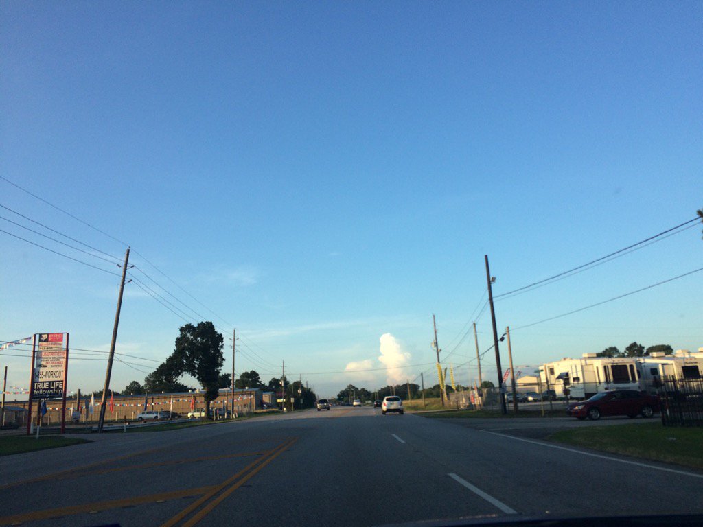
Northwest Houston, TX, during the early morning.
Northwest Houston, TX, during the early afternoon.
Northwest Houston, TX, during the early evening.
Northwest Houston, TX, during the late evening.
West Houston, TX, during the late evening.
West Houston, TX, during the late night.


Summary: The day was mostly cloudy, hot, and mostly dry. Only a few isolated light to moderate showers looked to be in and around the Houston, TX area, during the morning. I started to see some storm clouds and hear a few rumbles of thunder, during the afternoon and early evening. Light to moderately heavy showers and maybe a few thunderstorms started to pop up in and around the Houston, TX area, during the late evening. There still looked to be a few lingering light showers on the radar, during the early and maybe late night. Light to moderate rain started to fall on my cars windshield in northwest Houston, TX, on my way to Plucker's in northwest Houston, TX, during the late evening. Alto stratus with stratus and maybe some stratocumulus clouds looked to cover most of the sky, during the morning. Stratus and stratocumulus clouds with some nimbus clouds looked to cover most of the sky, during the afternoon and evening. The sky looked to have become clear with maybe some cirro stratus clouds, sometime during the night and stayed clear until the end of the day. The wind speeds looked to be calm with maybe some gentle to moderate gusts. It felt warm during the early morning, late afternoon, evening, and night. It felt very warm, during the mid-morning. It felt hot during the late morning. It felt very hot during the early afternoon and most of the mid-afternoon. It started to feel warm with the approach of storm clouds, during the mid-afternoon. There were no watches, warnings, alerts, advisories, or weather statements/outlooks issued for the Houston, TX area, that I know of. 


Storm Summary: I didn't hear about, or see any flooding, or damage from the showers and thunderstorms that passed through some parts of the Houston, TX area.


My Storm Summary: A light to moderate, almost moderately heavy shower passed over my car in northwest Houston, TX, during the late evening. I also saw a rainbow.


Locations: Northwest and west Houston, TX.


Thoughts: I was excited to see the brief shower today.

Tuesday, July 11, 2017

Jul. 11 17


Northwest Houston, TX, during the early morning.
Northwest Houston, TX, during the early evening.
Northwest Houston, TX, during the late evening.


Summary: The day was mostly cloudy, dry, and calm. Isolated light to moderate showers looked to be in and around the Houston, TX area, during the morning and early afternoon. A group of scattered light to heavy showers and possible thunderstorms looked to cover most of east and some other areas of Houston, TX, during the mid and late afternoon and evening. There looked to be a few scattered light showers on the Houston, TX radar, during the night. I didn't see, feel, or hear any rain drops. I did see some storm clouds while I was at work in northwest Houston, TX, during the mid and late afternoon and evening. Alto and cirro stratus clouds looked to cover most of the sky, during the morning, afternoon, evening, and maybe night. There was also some cumulus and possible nimbus clouds in the sky, during the mid and late afternoon and evening. The wind speeds looked to be calm with maybe some gentle to moderate gusts. It felt warm during the early morning, mid and late afternoon, evening, and night. It felt very warm during the mid-morning. It felt hot during the late morning and early afternoon. It started to feel warm with the cloud cover from the nearby showers and possible thunderstorms, during the mid-afternoon. There was a Hazardous Weather Outlook issued for the Houston, TX area, by NOAA. 


Storm Summary: I didn't see, or hear about any flooding, or damage from the showers and possible thunderstorms that passed through parts of the Houston, TX area.


My Storm Summary: I started to see some dark clouds while I was at work in northwest Houston, TX, during the mid-afternoon and continued to see them through the early evening. I didn't feel, or see any rain, or hear any thunder, or see any lightning strikes from them.


Locations: Northwest Houston, TX


Thoughts: Well the weather has been quite since I saw all that rain on Sunday. More rain chances with hot temps ahead for the Houston, TX area. I hope to see some more rain, as always.


Hazardous Weather Outlook

Hazardous Weather Outlook
National Weather Service Houston/Galveston TX
933 AM CDT Tue Jul 11 2017

TXZ199-200-212>214-227-237-238-121445-
Brazoria-Chambers-Fort Bend-Galveston-Harris-Liberty-Montgomery-
Waller-
933 AM CDT Tue Jul 11 2017

This hazardous weather outlook is for portions of Southeast Texas..

.DAY ONE...Today and Tonight

Scattered thunderstorms will be possible this afternoon. The
storms will be slow moving or nearly stationary and capable of
locally heavy rain in the stronger storms. Rainfall accumulations
of 1 to 3 inches will be possible in less than 1 hour and could
cause street flooding. Isolated strong storms could produce brief
gusty winds during the afternoon.

.DAYS TWO THROUGH SEVEN...Wednesday through Monday

Scattered thunderstorms will continue to be possible each day.
Isolated strong storms could produce locally heavy rainfall and
strong gusty winds.

.SPOTTER INFORMATION STATEMENT...

Spotter activation will not be needed.

$$

Monday, July 10, 2017

Jul. 10 17

Northwest Houston, TX, during the early morning.
Northwest Houston, TX, during the early afternoon.
Northwest Houston, TX, during the late afternoon.
Northwest Houston, TX, during the late evening.


Summary: The day was mostly sunless, warm, and dry. Huge clusters of light to moderately heavy and some heavy showers and thunderstorms swirled around the Houston, TX area, during the morning, afternoon, evening, and maybe night. I heard some possible rumbles of thunder while I was at work in northwest Houston, TX, sometime during the mid, or maybe late morning. I didn't see, or hear any rain drops. I did feel some possible rain drops at different times during the day in northwest Houston, TX. Stratus and stratocumulus with maybe some nimbus clouds looked to cover most of the sky and maybe sometimes the whole sky, during the morning, afternoon, and early evening. Alto stratus with maybe still some stratus and stratocumulus clouds looked to be widely scattered across the sky, during the late evening and early night. The wind speeds looked to be calm with gentle to moderate gusts with maybe some occasional moderately strong gusts. It felt warm during the morning, afternoon, evening, and night. There was a Special Weather Statement, along with some possible other watches, warnings, and advisories, issued for the Houston, TX area. There was also a Hazardous Weather Outlook issued for the Houston, TX area, by NOAA. The low temps looked to be in the 70's and the high temps looked to be in the 90's, or maybe 80's, for the Houston, TX area.


Storm Summary: Another round of showers and thunderstorms pounded Houston, TX streets again today, causing some severe weather alerts and some possible flash flooding. I heard that there were a few houses that caught fire from the thunderstorms that blew through the Houston, TX area yesterday.

My Storm Summary: I heard a few possible low rumbles of thunder while I was at work on northwest Houston, TX, sometime during the mid, or maybe late morning. I also felt a few possible rain drops at various times during the day. I didn't feel, see, or hear any rain drops, but I did see a few showers and possible thunderstorms off to the horizon, during the morning, afternoon, and evening.


Locations: Northwest Houston, TX.


Thoughts: No rain today, but the warm temps felt nice. Cooler than what I am used to feeling during this time of the year.


Hazardous Weather Outlook

Hazardous Weather Outlook
National Weather Service Houston/Galveston TX
324 AM CDT Mon Jul 10 2017

TXZ163-164-176>179-195>200-210>214-226-227-235>238-110830-
Austin-Brazoria-Brazos-Burleson-Chambers-Colorado-Fort Bend-
Galveston-Grimes-Harris-Houston-Jackson-Liberty-Madison-Matagorda-
Montgomery-Polk-San Jacinto-Trinity-Walker-Waller-Washington-
Wharton-
324 AM CDT Mon Jul 10 2017

This hazardous weather outlook is for portions of Southeast Texas..

.DAY ONE...Today and Tonight

Scattered showers and thunderstorms will again be possible today.
The storms could be slow moving and locally heavy rain will be
possible in the stronger storms. In addition, some of the stronger
storms could produce brief gusty winds late this afternoon.

.DAYS TWO THROUGH SEVEN...Tuesday through Sunday

Scattered showers and thunderstorms will persist on Tuesday.
Storm motion will again be slow so a few of the stronger storms
could produce locally heavy rain.

.SPOTTER INFORMATION STATEMENT...

Spotter activation will not be needed.

$$
Sunday, July 9, 2017

Jul. 9 17

Katy, TX, during the late morning.
Katy, TX, during the early evening.
Cypress, TX, during the early evening.
Northwest Houston, TX, during the late evening.


Summary: The day was mostly cloudy, hot, and mostly sunny. Isolated, mostly light to moderate with some moderately heavy showers and maybe a few thunderstorms started to pop up, during the late morning and became scattered thunderstorms during the late evening. The scattered thunderstorms lasted through the early and maybe the whole late night. Stratus and stratocumulus clouds looked to cover most of the sky, during the morning and afternoon. Stratus and stratocumulus with some nimbus clouds, looked to cover most of the sky, during the early evening and then the whole sky, during the late evening and night. The wind speeds looked to be calm with a gentle breeze and maybe some moderate to moderately strong gusts. It felt warm during the early morning. It felt very warm, during the mid-morning and early evening. It felt hot during the late morning. It felt very hot, during the afternoon. There were various watches, warnings, weather statements, alerts, and advisories with the thunderstorms that passed through the Houston, TX area, during the late evening and night. The low temps were in the 70's and the high temps were in the 90's, for the Houston, TX area.


Storm Summary: Severe thunderstorms embedded with heavy rain, started to pop up in and around the north and northwest Houston, TX area, during the late evening, and traveled slowly southwest through the night, causing flash flooding, some possible power outages, and cloud to ground lightning strikes with some strong gusty winds, possibly up to 60 mph in some areas of Houston, TX.


My Storm Summary: Lots of lighting and loud rumbles of thunder at my house in northwest Houston, TX, during the late evening and night. There looked to be some cloud to ground strikes. (My houses power did go out for a second as I was writing this weather report.) I didn't see, or witness any flooding at my house. I stayed at my house during the thunderstorms. Just lots of ongoing heavy rain and loud rumbles of thunder with maybe a few strong gusty winds.

I also did start to see some showers and thunderstorms on the horizon, on my way to a Petsmart in  Katy, TX, during the mid and late afternoon, and then I saw a few lightning strikes and heard some distant rumbles of thunder on my way back to my house in northwest Houston, TX, during the early evening.


Locations: Northwest Houston, TX, Cypress, TX, and Katy, TX.


Thoughts: Well the rain and lightning with loud rumbles of thunder is still continuing at my house. I am glad that the plants are getting some much needed water. I hope I will be able to drive into work tomorrow. The rain should stop soon, according to NOAA. We will see.


Flood Advisory

Flood Advisory
National Weather Service Houston/Galveston TX
845 PM CDT SUN JUL 9 2017

TXC071-201-291-339-100345-
/O.NEW.KHGX.FA.Y.0151.170710T0145Z-170710T0345Z/
/00000.N.ER.000000T0000Z.000000T0000Z.000000T0000Z.OO/
Montgomery TX-Chambers TX-Liberty TX-Harris TX-
845 PM CDT SUN JUL 9 2017

The National Weather Service in League City has issued a

* Flood Advisory for...
  Southeastern Montgomery County in southeastern Texas...
  Northwestern Chambers County in southeastern Texas...
  Southern Liberty County in southeastern Texas...
  Central Harris County in southeastern Texas...

* Until 1045 PM CDT.

* At 844 PM CDT, Doppler radar and automated rain gauges indicated a
  line of storms producing heavy rainfall. Embedded cells within the
  line will produce very heavy hourly rain rates which in turn will
  cause minor flooding in the advisory area.

* Some locations that will experience flooding include...
  Humble, Katy, Liberty, Dayton, Hunters Creek Village, Bunker Hill
  Village, Piney Point Village, Downtown Houston, Northside /
  Northline, Greenway / Upper Kirby Area, Kingwood, Spring Branch
  North, Greater Greenspoint, Spring, Greater Heights, Neartown /
  Montrose, Barrett, Near Northside Houston, Greater Fifth Ward and
  Aldine.

PRECAUTIONARY/PREPAREDNESS ACTIONS...

Turn around, don`t drown when encountering flooded roads. Most flood
deaths occur in vehicles.

Be especially cautious at night when it is harder to recognize the
dangers of flooding.

&&

LAT...LON 2973 9544 2970 9564 2980 9582 2984 9548
      3014 9553 3018 9510 3035 9468 3011 9460
      3011 9444 3004 9445

$$

Flood Advisory

Flood Advisory
National Weather Service Houston/Galveston TX
804 PM CDT SUN JUL 9 2017

TXC201-339-473-100400-
/O.NEW.KHGX.FA.Y.0150.170710T0104Z-170710T0400Z/
/00000.N.ER.000000T0000Z.000000T0000Z.000000T0000Z.OO/
Montgomery TX-Waller TX-Harris TX-
804 PM CDT SUN JUL 9 2017

The National Weather Service in League City has issued a

* Flood Advisory for...
  Southwestern Montgomery County in southeastern Texas...
  Northeastern Waller County in southeastern Texas...
  Northwestern Harris County in southeastern Texas...

* Until 1100 PM CDT.

* At 802 PM CDT, Doppler radar indicated heavy rain due to
  thunderstorms in the area. It appears there will be a merger
  between some of these cells in northwest Harris County which could
  further enhance hourly rainfall rates. This in turn will cause
  minor flooding in the advisory area.

* Some locations that will experience flooding include...
  Katy, Tomball, Jersey Village, Pinehurst, northern Addicks Park
  Ten, The Woodlands, Hockley, Stagecoach, Hooks Airport, Westbranch,
  Fairbanks / Northwest Crossing, Willowbrook, Cypress, Carverdale,
  Greater Inwood and Central Northwest.

LAT...LON 3026 9556 2984 9548 2981 9582 3010 9590

$$

Flash Flood Warning

Flash Flood Warning
TXC201-100430-
/O.NEW.KHGX.FF.W.0027.170710T0132Z-170710T0430Z/
/00000.0.ER.000000T0000Z.000000T0000Z.000000T0000Z.OO/

BULLETIN - EAS ACTIVATION REQUESTED
Flash Flood Warning
National Weather Service Houston/Galveston TX
832 PM CDT SUN JUL 9 2017

The National Weather Service in League City has issued a

* Flash Flood Warning for...
  Northwestern Harris County in southeastern Texas...

* Until 1130 PM CDT.

* At 831 PM CDT, Doppler radar indicated thunderstorms producing
  heavy rain across the warned area. Rainfall rates between 2 and 4
  inches per hour have been observed. Flash flooding is expected to
  begin shortly.

* Some locations that will experience flooding include...
  Tomball, Jersey Village, Willowbrook, Cypress and Hooks Airport.

LAT...LON 2984 9570 3003 9580 3008 9568 3011 9556
      2994 9551

$$

Area Forecast Discussion 
Issued by NWS Houston/Galveston, TX

Home | Current Version | Previous Version | Text Only | Print | Product List | Glossary Off
Versions: 1 2 3 4 5 6 7 8 9 10 11 12 13 14 15 16 17 18 19 20 21 22 23 24 25 26 27 28 29 30 31 32 33 34 35 36 37 38 3940 41 42 43 44 45 46 47 48 49 50

000
FXUS64 KHGX 100214
AFDHGX

Area Forecast Discussion
National Weather Service Houston/Galveston TX
914 PM CDT Sun Jul 9 2017

.UPDATE...
Convection that has consolidated south and parallel to Spring
Creek is slowly beginning to show signs of weakening as its
associated outflow boundary races through the city at the top of
the 9 PM hour. If this activity follows the rules...then expect
this overall line to weaken as it moves into metro but still drop
another (less than an) inch or two more of rain across northern
and central Harris and southern Liberty Counties through 10-11 PM.
Short range models have early Monday morning showers/storms
festering in Galveston Bay`s vicinity and points eastward (maybe
focusing on remnants of the tonight`s outflow?). Either way...
anticipating another late morning through early evening round of
clustering convection to fill in the radar screen Monday. 31

&&

.PREV DISCUSSION... /ISSUED 655 PM CDT Sun Jul 9 2017/

AVIATION...
Expect we`re going to see another merger w/ east Tx storms and
those ongoing se Tx...followed by a southern movement back into
the metro area. Boundary mergers are enhancing storm strength and
rain rates, so would anticipate some 20-40mph gusts and 1nm visby
in the strongest cells. With the loss of heating, we`ll loose some
instability as the evening wears on, so anticipate a general
weakening trend. But precip may be an issue for the next several
hours. Conditions transitioning to VFR areawide toward midnight.
Rinse/repeat with the same cycle as previous days on Mon with sct
storm development in the afternoon and evening hours inland, early
morning offshore.  47

&&

.PRELIMINARY POINT TEMPS/POPS...
College Station (CLL)      76  96  77  96  75 /  70  60  50  30  10
Houston (IAH)              78  94  78  94  77 /  70  50  40  40  20
Galveston (GLS)            82  89  82  89  81 /  30  40  20  30  20

&&

.HGX WATCHES/WARNINGS/ADVISORIES...
TX...NONE.
GM...NONE.
&&

$$

Discussion...33

Jul. 8 17

Northwest Houston, TX, during the early morning.

Spring, TX, or maybe the Woodlands, TX, during the late evening.


Summary: The day was sunny, mostly dry, and hot. Heavy thunderstorms started to pop up in and around the Houston, TX area, sometime during the late afternoon, or maybe early evening and lasted through the early night, before finally dissipating, sometime during the late night, with maybe a few lingering light showers. The sky looked to be mostly clear with a few alto stratus clouds in the sky, during the early morning. Stratus and stratocumulus clouds looked to be scattered across the sky, during the mid and late morning and early and mid-afternoon. Stratus, stratocumulus, and nimbus clouds looked to cover most of the sky, during the late afternoon, evening, and early night. There looked to be some possible mammtus clouds, near the Woodlands, TX, during the late evening. Stratus, or maybe alto stratus clouds looked to cover most, if not the whole sky, during the late night. The wind speeds looked to be calm with gentle to maybe moderate gusts with some possible occasional moderately strong gusts. It felt warm during the early morning, evening, and night. It felt very warm, during the mid-morning. It felt hot, during the late morning. It felt very hot, during the afternoon. There was a Significant Weather Advisory issued for parts of the Houston, TX area, There were no other watches, warnings, alerts, weather statements/outlooks. or advisories issued for the Houston, TX area, that I know of. The low temps looked to be in the 70's and the high temps looked to be in the low to mid 90's, for the Houston, TX area.


Storm Summary: The thunderstorms that passed through the Houston, TX area, caused a few power outages and flash flooding. I didn't see, or hear about any storm damages.


My Storm Summary: Most of the thunderstorms that I saw where in the mid town/downtown area of Houston, TX. There was another storm popping up in north Houston, TX, that I saw parts of. The storms didn't have any strong winds, that I remember, just some scary cloud-to-ground lightning strikes, and heavy rain with flash flooding, or deep ponding on the roads and freeways. There was little rain reported at my house in northwest Houston, TX.


Locations: Northwest, north, mid-town, montrose, heights, and downtown Houston, TX. The Woodlands, TX, Spring, TX, Tomball, TX, and maybe Klien, TX.


Thoughts: Well I haven't seen that much rain in awhile, especially the cloud-to-ground lightning strikes, not since maybe last year, or at least 2015 since I have seen such close lightning strikes. I have seen a few heavy rain storms this year. I was sad to hear that my house in northwest Houston, TX didn't receive that much rain.