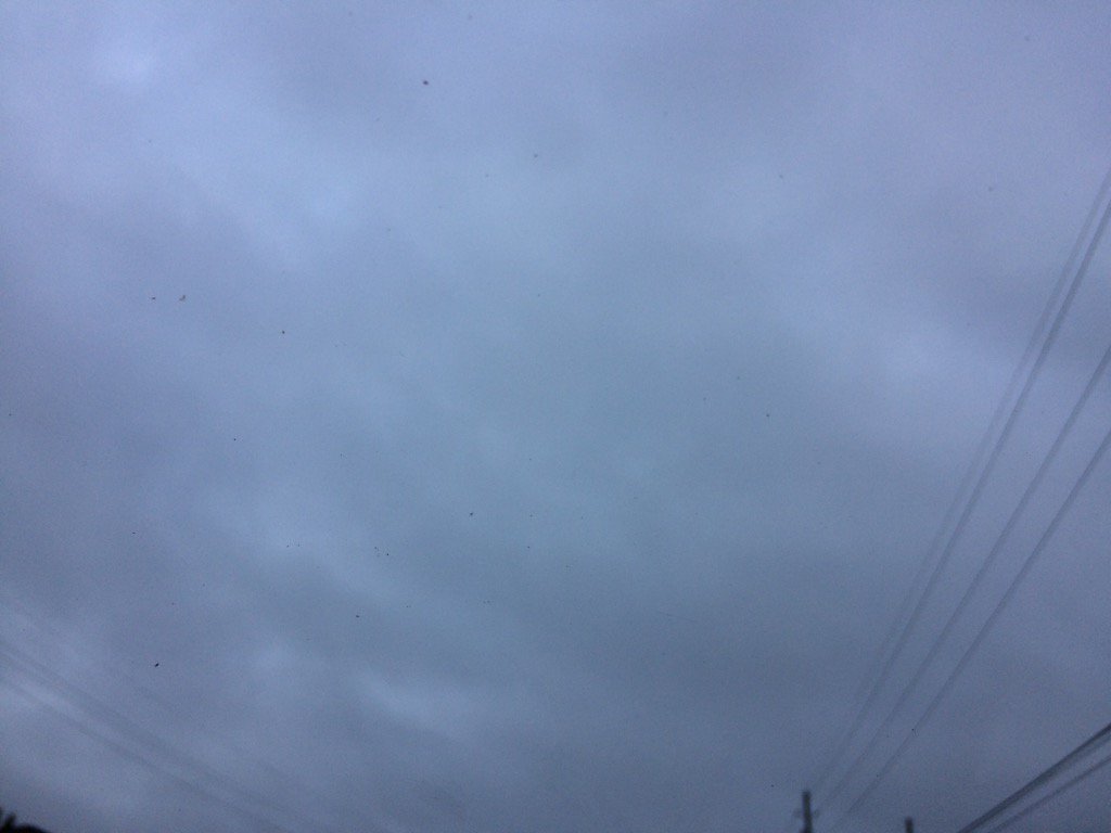
Northwest Houston, TX, during the early morning.
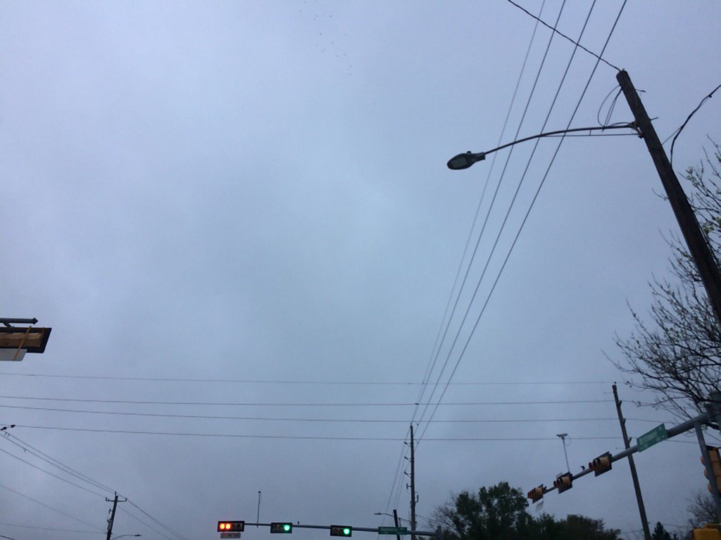
West Houston, TX, during the early morning.
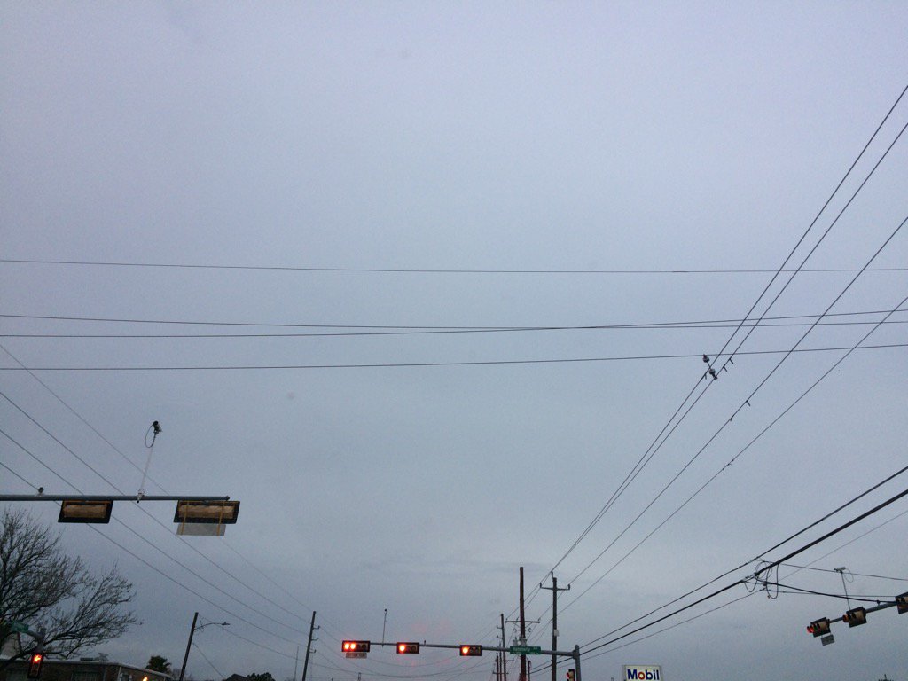
West Houston, TX, during the late evening.
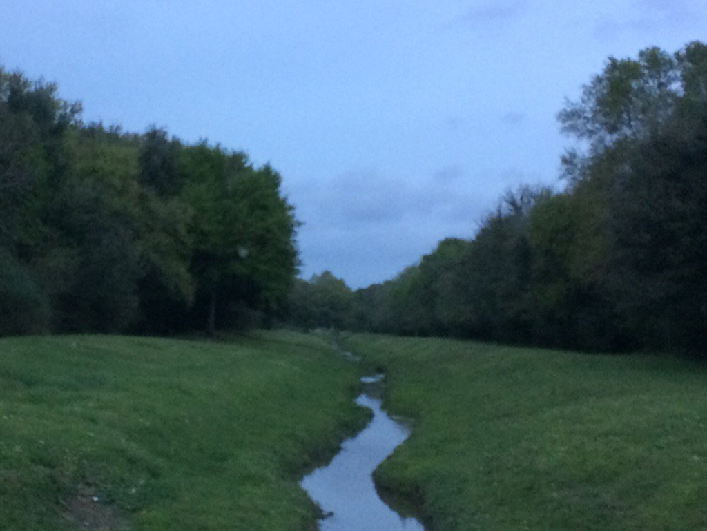
Northwest Houston, TX, during the late evening.
Northwest Houston, TX, during the early night.
Summary: The day was warm, cloudy, and dry. A few isolated showers and thunderstorms formed west of and in west Houston, TX, during the afternoon and maybe evening and morning. There may have been some isolated showers and thunderstorms in other areas of and near Houston, TX. A few light sprinkles felt to be falling where I was in west Houston, TX, where I work, during the early afternoon, I think. The wind speeds were mostly calm with some occasional moderately strong and maybe really strong, 20 mph gusts. There were no watches, warnings, advisories, or statements issued for the Houston, TX area, during anytime of the day, that I know of. The low temps were in the 60's and the high temps were in the 70's and maybe a few 80's, in the Houston, TX area. There looked to be some possible light dense fog, when I left for work in northwest Houston, TX, during the early morning.
Locations: Northwest and west Houston, TX.
Thoughts: Houston, TX finally had a warm day, after having a few cool days. I am not looking forward to another series of cold fronts. I can't wait for spring. I am hoping for some decent rain chances for the Houston, TX area, on Friday and Saturday.
Hazardous Weather Outlook
Hazardous Weather Outlook
National Weather Service Houston/Galveston TX
526 PM CST Thu Mar 9 2017

TXZ163-164-176>179-195>200-210>214-226-227-235>238-102330-
Austin-Brazoria-Brazos-Burleson-Chambers-Colorado-Fort Bend-
Galveston-Grimes-Harris-Houston-Jackson-Liberty-Madison-Matagorda-
Montgomery-Polk-San Jacinto-Trinity-Walker-Waller-Washington-
Wharton-
526 PM CST Thu Mar 9 2017

This hazardous weather outlook is for portions of Southeast Texas..

.DAY ONE...Tonight

Scattered showers and thunderstorms will end this evening with
some additional activity possible late tonight. Although severe
weather is not expected, a few of the stronger storms could
produce marginal hail and brief gusty winds.

.DAYS TWO THROUGH SEVEN...Friday through Wednesday

A couple of different weather systems will bring unsettled weather
to Southeast Texas both Friday and Saturday. A weak cold front on
Friday could serve as a focus for additional showers and
thunderstorms. An upper level disturbance will bring additional
showers and thunderstorms on Saturday. Brief heavy rain will be
possible on Saturday into Saturday evening. A cold front will
cross the region Saturday night ending the rain threat and
ushering in a cooler and drier air mass for the first half of next
week.

.SPOTTER INFORMATION STATEMENT...

Spotter activation will not be needed.

$$
No comments:
Post a Comment