Tuesday, June 20, 2017

Jun. 20 17

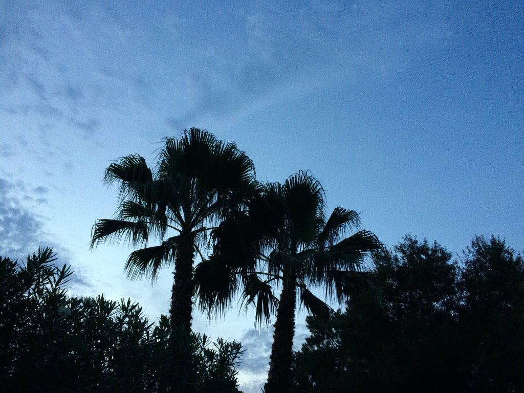
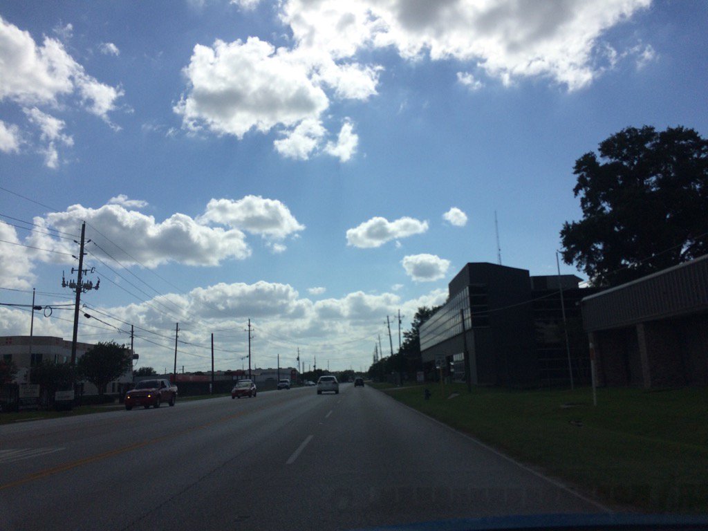
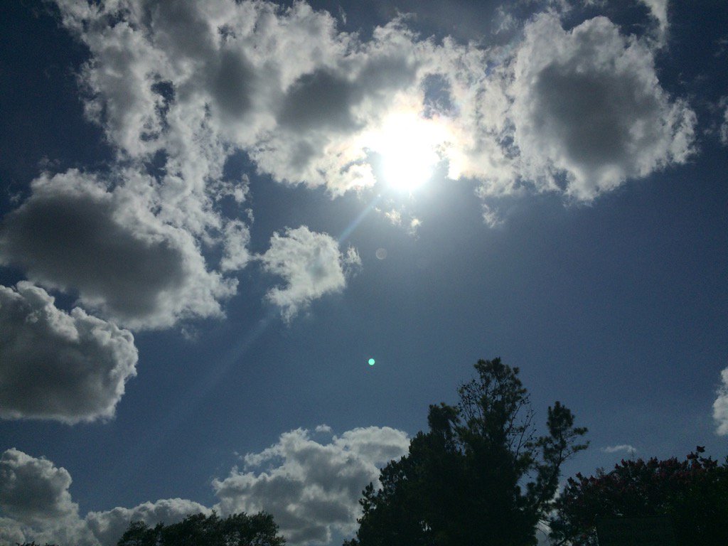
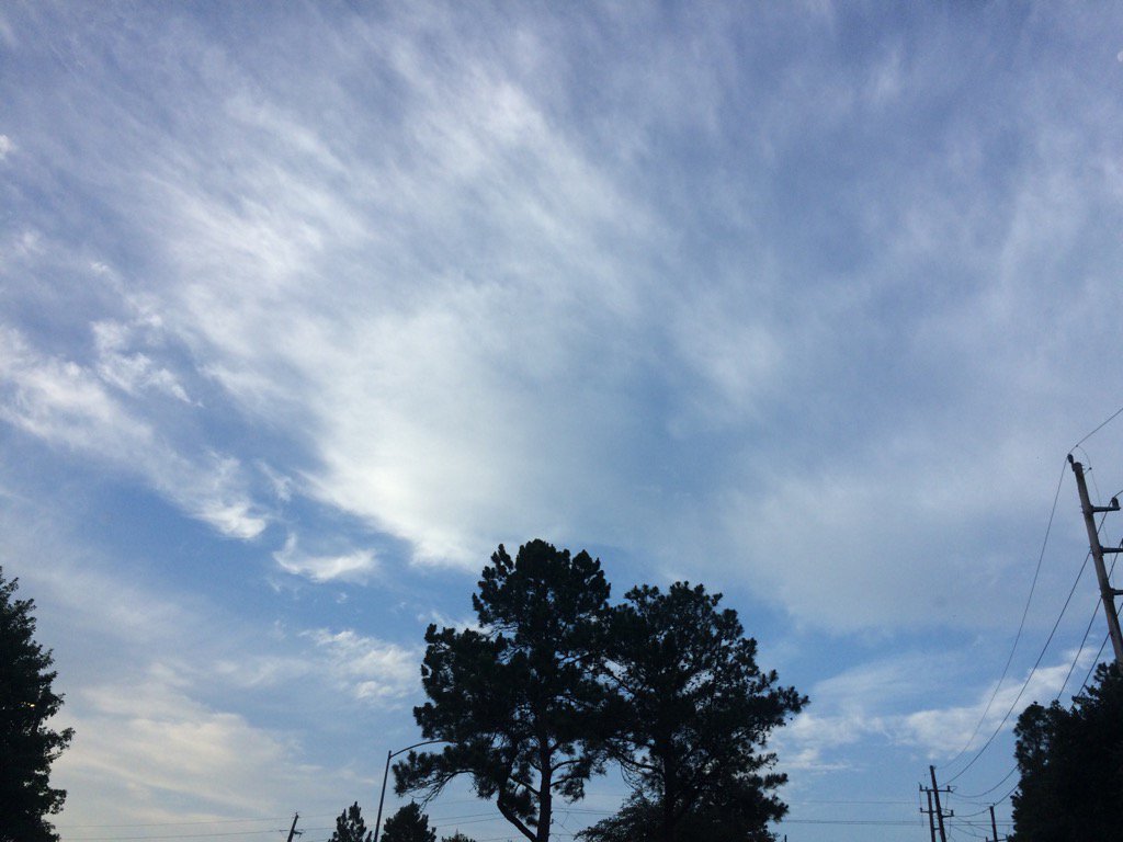
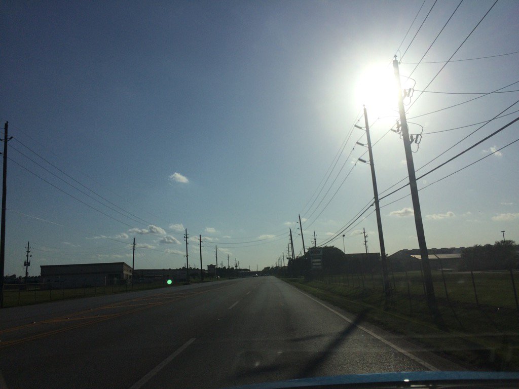
Northwest Houston, TX, during the early morning, before sunrise.
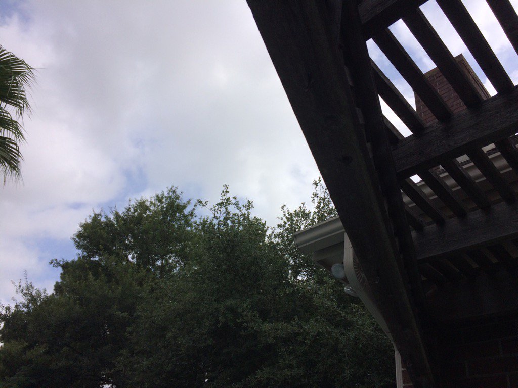
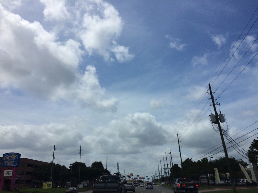
Northwest Houston, TX, during the early morning.
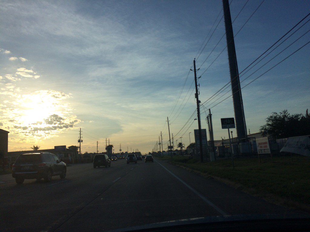
Northwest Houston, TX, during the early evening.


Summary: The day was warm, mostly cloudy, and mostly dry. Scattered light to heavy showers and thunderstorms passed through most of the Houston, TX area, during the early morning. There looked to be some isolated short lived light showers in and around the Houston, TX area, during the rest of the day. A thunderstorm with lots of lightning and loud thunder passed over my house, during the early morning, before sunrise. That was the only rain that I saw. The sky stayed mostly covered in alto stratus and stratocumulus clouds, except for during the early morning after sunrise and maybe the rest of the morning, where the sky looked to be mostly clear. The wind speeds looked to be calm with moderate to moderately strong gusts with some really strong gusts. It felt warm during the morning, evening, and night. It felt hot during the afternoon. There was a hazardous weather statement and a hurricane local statement issued by NOAA and a tropical storm watch that turned into a tropical storm warning, for the Houston, TX area. There were no other watches, warnings, alerts, advisories, or weather statements issued for the Houston, TX area, that I know of. The low temps looked to be in the 70's and the high temps looked to be in the 90's with maybe some 80's, for the Houston, TX area.


Locations: Northwest Houston, TX.


Thoughts: I wasn't expecting to see a tropical storm warning issued today for the Houston, TX area, nor was I expecting to see any thunderstorms this morning. I am interested to see what happens next with tropical storm Cindy and Houston, TX. It looks like it will most likely be a wind/rain event.


Hazardous Weather Outlook

Hazardous Weather Outlook
National Weather Service Houston/Galveston TX
858 PM CDT Tue Jun 20 2017

TXZ200-213-214-238-220200-
Chambers-Galveston-Harris-Liberty-
858 PM CDT Tue Jun 20 2017

This hazardous weather outlook is for portions of Southeast Texas..

.DAY ONE...Tonight

Tropical Storm Cindy has formed in the north central Gulf of
Mexico. The storm will move toward the upper Texas coast on
later tonight.

.DAYS TWO THROUGH SEVEN...Wednesday through Monday

A Tropical Storm Warning is in effect for Chambers, Galveston,
Harris and Chambers counties. Tropical Storm Cindy will move
toward the Texas/Louisiana state line early Thursday. The storm
will bring a multitude of hazards to the region including
sustained winds between 25 and 35 mph with higher gusts, heavy
rain and elevated tides. Elevated tides could produce coastal
flooding. Rainfall amounts will average about 2 to 4 inches with
higher amounts between 4 and 6 inches possible. Rainfall rates
will ultimately determine the flood threat.

.SPOTTER INFORMATION STATEMENT...

Emergency managers and storm spotters should prepare for possible
activation Wednesday night into Thursday morning.

$$


Hurricane Local Statement
TROPICAL STORM CINDY LOCAL STATEMENT ADVISORY NUMBER 6
TXZ200-213-214-238-211130-

TROPICAL STORM CINDY LOCAL STATEMENT ADVISORY NUMBER 6
NATIONAL WEATHER SERVICE HOUSTON/GALVESTON TX  AL032017
1016 PM CDT TUE JUN 20 2017

THIS PRODUCT COVERS SOUTHEAST TEXAS

CINDY STRENGTHENS OVER THE CENTRAL GULF OF MEXICO

NEW INFORMATION
---------------

* CHANGES TO WATCHES AND WARNINGS:
    - NONE

* CURRENT WATCHES AND WARNINGS:
    - A TROPICAL STORM WARNING IS IN EFFECT FOR CHAMBERS, GALVESTON,
      HARRIS, AND LIBERTY

* STORM INFORMATION:
    - ABOUT 310 MILES SOUTHEAST OF GALVESTON TX
    - 26.4N 91.0W
    - STORM INTENSITY 60 MPH
    - MOVEMENT NORTHWEST OR 310 DEGREES AT 7 MPH

SITUATION OVERVIEW
------------------

TROPICAL STORM CINDY IS IN THE CENTRAL GULF OF MEXICO MOVING SLOWLY
TOWARDS THE SOUTHWEST LOUISIANA AND SOUTHEAST TEXAS COAST. TROPICAL
STORM CONDITIONS CAN BE EXPECTED NEAR AND TO THE RIGHT OF THE TRACK.
CONDITIONS ARE EXPECTED TO DEGRADE WEDNESDAY AFTERNOON, WITH TROPICAL
STORM FORCE WINDS REACHING THE COAST WEDNESDAY EVENING. HEAVY RAINS
ARE THE MOST SIGNIFICANT THREAT WITH 2 TO 4 INCHES EXPECTED WITH
LOCALLY HIGHER AMOUNTS. RAIN TOTALS WILL BE HIGHEST NEAR AND EAST OF
THE TRACK, AND IS EXPECTED TO BE LARGELY NEAR AND EAST OF A GALVESTON
TO HOUSTON TO LIVINGSTON LINE. MINOR WIND AND COASTAL FLOODING IMPACTS
MAY BE SEEN AROUND THE BOLIVAR PENINSULA. THERE, UNSECURED LIGHT
OBJECTS MAY BE BLOWN ABOUT, AND AREAS VULNERABLE TO FLOODING - SUCH AS
NEAR HIGHWAY 87 - MAY SEE UP TO A FOOT OF INUNDATION AROUND TIMES OF
HIGH TIDE.

POTENTIAL IMPACTS
-----------------

* FLOODING RAIN:
PROTECT AGAINST LOCALLY HAZARDOUS RAINFALL FLOODING HAVING POSSIBLE
LIMITED IMPACTS ACROSS SOUTHEAST TEXAS. POTENTIAL IMPACTS INCLUDE:
    - LOCALIZED RAINFALL FLOODING MAY PROMPT A FEW EVACUATIONS.
    - RIVERS AND TRIBUTARIES MAY QUICKLY RISE WITH SWIFTER CURRENTS.
      SMALL STREAMS, CREEKS, CANALS, AND DITCHES MAY BECOME
      SWOLLEN AND OVERFLOW IN SPOTS.
    - A FEW PLACES WHERE RAPID PONDING OF WATER OCCURS AT UNDERPASSES,
      LOW-LYING SPOTS, AND POOR DRAINAGE AREAS.

* WIND:
PROTECT AGAINST HAZARDOUS WIND HAVING POSSIBLE LIMITED IMPACTS ACROSS
SOUTHEAST TEXAS. POTENTIAL IMPACTS INCLUDE:
    - UNSECURED LIGHTWEIGHT OBJECTS BLOWN ABOUT.
    - SOME SMALL TREE LIMBS BROKEN OFF.
    - ISOLATED POWER OUTAGES.

* SURGE:
LITTLE TO NO IMPACTS ARE ANTICIPATED AT THIS TIME
ACROSS SOUTHEAST TEXAS. UP TO 1 FOOT OF INUNDATION IS POSSIBLE ALONG THE BOLIVAR
PENINSULA AT TIME OF HIGH TIDE.

* TORNADOES:
LITTLE TO NO IMPACTS ARE ANTICIPATED AT THIS TIME ACROSS SOUTHEAST TEXAS.

PRECAUTIONARY/PREPAREDNESS ACTIONS
----------------------------------

* EVACUATIONS:
THERE IS A VOLUNTARY EVACUATION IN PLACE FOR THOSE WITH MEDICAL AND OTHER SPECIAL
NEEDS FOR THE BOLIVAR PENINSULA. THERE IS THE POSSIBILITY OF LIMITED SERVICES
AVAILABLE FOR THOSE ALONG THE BOLIVAR PENINSULA AROUND TIMES OF HIGH TIDE FROM
WEDNESDAY AFTERNOON THROUGH THURSDAY MORNING DUE TO POTENTIAL FLOODING ALONG
HIGHWAY 87.

* ADDITIONAL SOURCES OF INFORMATION:
- FOR INFORMATION ON APPROPRIATE PREPARATIONS SEE READY.GOV
- FOR INFORMATION ON CREATING AN EMERGENCY PLAN SEE GETAGAMEPLAN.ORG
- FOR ADDITIONAL DISASTER PREPAREDNESS INFORMATION SEE REDCROSS.ORG

NEXT UPDATE
-----------

THE NEXT LOCAL STATEMENT WILL BE ISSUED BY THE NATIONAL WEATHER
SERVICE IN HOUSTON/GALVESTON TX AROUND 5 AM CDT, OR SOONER IF
CONDITIONS WARRANT.

$$


Tropical Storm Warning

CINDY LOCAL WATCH/WARNING STATEMENT/ADVISORY NUMBER 6
NATIONAL WEATHER SERVICE HOUSTON/GALVESTON TX  AL032017
1013 PM CDT TUE JUN 20 2017

TXZ213-211115-
/O.CON.KHGX.TR.W.1003.000000T0000Z-000000T0000Z/
HARRIS-
1013 PM CDT TUE JUN 20 2017

...TROPICAL STORM WARNING IN EFFECT...

A TROPICAL STORM WARNING MEANS TROPICAL STORM WIND CONDITIONS ARE
EXPECTED SOMEWHERE WITHIN THIS AREA AND WITHIN THE NEXT 36 HOURS

* WIND
    - LATEST LOCAL FORECAST: TROPICAL STORM FORCE WINDS REMAIN
      POSSIBLE
        - PEAK WIND FORECAST: 20-30 MPH WITH GUSTS TO 35 MPH

    - CURRENT THREAT TO LIFE AND PROPERTY: ELEVATED
        - THE WIND THREAT HAS REMAINED NEARLY STEADY FROM THE
          PREVIOUS ASSESSMENT.
        - EMERGENCY PLANNING SHOULD INCLUDE A REASONABLE THREAT FOR
          TROPICAL STORM FORCE WIND OF 39 TO 57 MPH.
        - TO BE SAFE, PREPARE FOR THE POTENTIAL OF LIMITED WIND
          IMPACTS. EFFORTS SHOULD NOW BE UNDERWAY TO SECURE ALL
          PROPERTIES.
        - HAZARDOUS WIND IS POSSIBLE.

    - POTENTIAL IMPACTS: LIMITED
        - UNSECURED LIGHTWEIGHT OBJECTS BLOWN ABOUT.
        - ISOLATED POWER OUTAGES ACROSS EXTREME SOUTHEAST AREAS.

* STORM SURGE
    - NO STORM SURGE INUNDATION FORECAST

    - CURRENT THREAT TO LIFE AND PROPERTY: NONE
        - THE STORM SURGE THREAT HAS REMAINED NEARLY STEADY FROM THE
          PREVIOUS ASSESSMENT.
        - EMERGENCY PLANNING FOR THIS EVENT NEED NOT INCLUDE A THREAT
          FOR STORM SURGE FLOODING. THE GROUND WILL REMAIN LARGELY
          UNFLOODED FROM SURGE WATER OR ONLY HAVE SPOTS MINIMALLY
          AFFECTED BY SURGE WATER ENCROACHMENT. SURF CONDITIONS MAY
          STILL BE ROUGH WITH SOME BEACH EROSION. STRONGER THAN
          NORMAL RIP CURRENTS MAY ALSO BE PRESENT.
        - LITTLE TO NO PREPARATIONS NEEDED TO GUARD AGAINST STORM
          SURGE FLOODING AT THIS TIME.

    - POTENTIAL IMPACTS: LITTLE TO NONE
        - LITTLE TO NO POTENTIAL IMPACTS FROM STORM SURGE FLOODING.

* FLOODING RAIN
    - LATEST LOCAL FORECAST:
        - PEAK RAINFALL AMOUNTS: 2-4 INCHES, WITH LOCALLY HIGHER
          AMOUNTS

    - CURRENT THREAT TO LIFE AND PROPERTY: ELEVATED
        - THE FLOODING RAIN THREAT HAS REMAINED NEARLY STEADY FROM
          THE PREVIOUS ASSESSMENT.
        - EMERGENCY PLANNING SHOULD INCLUDE A REASONABLE THREAT FOR
          MINOR FLOODING WHERE PEAK RAINFALL TOTALS ARE NEAR AMOUNTS
          CONDUCIVE FOR LOCALIZED FLASH FLOODING AND RAPID INUNDATION.
        - TO BE SAFE, PREPARE FOR THE POTENTIAL OF LIMITED FLOODING
          RAIN IMPACTS.
        - LOCALIZED FLOODING IS POSSIBLE. IF FLOOD RELATED WATCHES
          AND WARNINGS ARE ISSUED, HEED RECOMMENDED ACTIONS.

    - POTENTIAL IMPACTS: LIMITED
        - RIVERS AND TRIBUTARIES MAY QUICKLY RISE WITH SWIFTER
          CURRENTS. SMALL STREAMS, CREEKS, CANALS, AND
          DITCHES MAY BECOME SWOLLEN AND OVERFLOW IN SPOTS.
        - A FEW PLACES WHERE RAPID PONDING OF WATER OCCURS AT UNDERPASSES,
          LOW-LYING SPOTS, AND POOR DRAINAGE AREAS.

* TORNADO
    - LATEST LOCAL FORECAST:
        - SITUATION IS UNFAVORABLE FOR TORNADOES

    - CURRENT THREAT TO LIFE AND PROPERTY: NONE
        - THE TORNADO THREAT HAS REMAINED NEARLY STEADY FROM THE
          PREVIOUS ASSESSMENT.
        - EMERGENCY PLANNING NEED NOT INCLUDE A THREAT FOR TORNADOES.
          SHOWERS AND THUNDERSTORMS WITH STRONG GUSTY WINDS MAY STILL
          OCCUR.
        - LITTLE TO NO PREPARATIONS NEEDED TO GUARD AGAINST TROPICAL
          TORNADOES.
        - ENSURE READINESS FOR THE NEXT TROPICAL TORNADO EVENT.

    - POTENTIAL IMPACTS: LITTLE TO NONE
        - LITTLE TO NO POTENTIAL IMPACTS FROM TORNADOES.

$$
Area Forecast Discussion 
Issued by NWS Houston/Galveston, TX

Home | Current Version | Previous Version | Text Only | Print | Product List | Glossary Off
Versions: 1 2 3 4 5 6 7 8 9 10 11 12 13 14 15 16 17 18 19 20 21 22 23 24 25 26 27 28 29 30 31 32 33 34 35 36 37 3839 40 41 42 43 44 45 46 47 48 49 50

000
FXUS64 KHGX 210230
AFDHGX

Area Forecast Discussion
National Weather Service Houston/Galveston TX
930 PM CDT Tue Jun 20 2017

.UPDATE...
No changes to previous watch/warning configurations.

At 00z, the LCH sounding showed PW values near 1.90 inches while
the CRP sounding is a bit drier at 1.70 inches. 850 mb moisture
was increasing from the east and the edge of the deeper moisture
extended from about Tyler to Port Bolivar. At 500 mb, an expansive
upper ridge extended east into western MS but last night, the GFS
was a bit stronger with the ridge so perhaps the influence of this
feature will be less than anticipated. With a weaker ridge,
perhaps TS Cindy could be tugged a bit further north before
reaching the TX coast. At 300 mb, a pocket of 25-30 knots will
still provide some shear and could hinder intensification.

Tropical Storm Cindy remains nearly stationary over the north
central Gulf. The storm is expected to begin moving NW overnight.
Showers and thunderstorms will begin to move into the coastal
waters and could encroach on the coast prior to sunrise. Rain
chances will likely increase through the day with higher rain
chances Wednesday night into Thursday. A Flash Flood Watch may be
required for parts of the area for Wednesday night.

Previous forecast has a good handle on things so no significant
changes planned.  43

&&

.PREV DISCUSSION... /ISSUED 644 PM CDT Tue Jun 20 2017/

AVIATION...
Impacts from TS Cindy should begin to affect KGLS this evening as
wind gusts will be likely during showers from rain bands. One band
was shown by radar to be moving into the Upper Texas coastal
waters at 2330Z and may affect KGLS by 03Z. Winds should increase
during the day on Wednesday after about 14Z for the inland sites.
Gusts will range from just over 20 knots well inland at KCLL and
KUTS to near 30 knots at KGLS at the coast. Ceilings will possibly
lower to near MVFR by the late afternoon on Wednesday.

40

PREV DISCUSSION... /ISSUED 349 PM CDT Tue Jun 20 2017/

DISCUSSION...
Newly upgraded Tropical Storm Cindy continues to dominate the
forecast as it meanders over the Central Gulf. The new advisory
drifts the track a bit more to the west, necessitating the upgrade
of the tropical storm watch area to a tropical storm warning. The
expectation for primary threat to the area continues to be for
heavy rainfall along and east of the track`s expected center,
which may cause some limited flooding threat. Some minor impacts
from wind gusts and elevated tidal levels may be seen in parts of
the Bolivar Peninsula as well. More details can be found in issued
tropical products.

NEAR TERM [Through Tonight]...

Weather continues to be hot and largely dry across Southeast Texas
today while Tropical Storm Cindy continues to try to organize well
offshore. Radar has shown some showers trying to develop along a
coastal boundary from Liberty County southwest through Brazoria
County towards Matagorda Bay. For the most part, these showers have
been isolated, light, and short-lived. However, near Matagorda Bay,
these showers have been a bit more successful.

These showers should come to an end this evening, but overnight look
for rain chances over the offshore waters to increase as the
circulation of Cindy continues to draw nearer. Over land, expect
scattered clouds to become a bit more dominant overnight, but
don`t expect temperatures to fall below the middle to upper 70s
thanks to high dewpoints.

SHORT TERM [Wednesday Through Thursday Night]...

The caveat right up front: This portion of the forecast is going
to be very dependent on the precise track of Cindy. A deviation in
track to the left or right will move impact areas accordingly.

Now, much of the morning should continue as past days have.
The key harbinger of change will be increasing clouds from the
southeast as Cindy moves closer to the area. Most should stay dry
Wednesday morning with most outer rains still offshore - however,
immediate coastal areas may start to see increased showers begin
to pop up. Rainfall potential will increase through the afternoon,
with the prime time for rain occurring Wednesday night into
Thursday morning. Some heavy rains will obviously be possible,
with the highest threat along and east of the storm`s center.
As of the current forecast track for the storm, this will put the
heaviest rain east of the Houston metro, from the coast up towards
Livingston. It`s worth noting that Cindy`s lopsided appearance
means that the rainfall gradient on the west side of the center is
likely to be very sharp, with the difference between solid rain
totals and very little rain not likely to be separated by a great
distance. Because of this, will hold off on any flash flood
watches for now to gain some more confidence on where the heaviest
rain is likely to fall.

Cindy`s center will continue to move north through Thursday and
Thursday night, before a northern stream trough passing through
the Great Lakes will draw what`s left of the storm to the
northeast through Louisiana. As it does so, rain chances will draw
down, but continue to linger into Thursday night. It probably goes
without saying, but high temperatures will be noticeably cooler
with cloudy skies and rain keeping temperatures down. Overnight,
though, these factors will also keep low temperatures elevated,
suppressing the diurnal curve in temperatures.

LONG TERM [Friday Through Tuesday]...

Friday and Friday night look a bit drier as Cindy accelerates
away from the region. But this trend does not look to be terribly
long lived as the upper trough that takes the storm away will dig
into the Eastern US, and help a cold front slide into the area.
There is considerable uncertainty in exactly how this front will
behave, but for now models suggest it may stall out in the general
vicinity of the coast, and could provide a focus for continued
rainy activity into early next week. Previous guidance had also
brought in a surge of very high moisture - about 2.3 inches of
precipitable water - as well, which alerted to potential that
Cindy may be a predecessor event for later high rainfall. The GFS
has since backed off of that, but still keeps precipitable water
around or above 1.75 inches with weak to non-existent capping,
which could allow for some very rainy showers and storms. With
strong focus put on Cindy, simply want to highlight the fact that
continued showers and storms may be possible.

&&

.PRELIMINARY POINT TEMPS/POPS...
College Station (CLL)      74  91  75  87  76 /  10  20  40  60  40
Houston (IAH)              78  88  77  86  78 /  10  50  80  70  60
Galveston (GLS)            81  85  80  86  83 /  20  70  80  70  50

&&

.HGX WATCHES/WARNINGS/ADVISORIES...
TX...Tropical Storm Warning for the following zones: Chambers...
     Galveston...Harris...Liberty.

GM...Small Craft Advisory from 7 AM Wednesday to 6 PM CDT Thursday
     for the following zones: Coastal waters from Freeport to
     the Matagorda Ship Channel out 20 NM...Matagorda Bay.

     SMALL CRAFT SHOULD EXERCISE CAUTION until 7 AM CDT Wednesday for
     the following zones: Coastal waters from Freeport to the
     Matagorda Ship Channel out 20 NM...Matagorda Bay.

     Tropical Storm Warning for the following zones: Coastal waters
     from High Island to Freeport out 20 NM...Galveston Bay...
     Waters from High Island to Freeport from 20 to 60 NM.

     Small Craft Advisory until 6 PM CDT Thursday for the following
     zones: Waters from Freeport to the Matagorda Ship Channel
     from 20 to 60 NM.

&&

$$

Discussion...43

Monday, June 19, 2017

Jun. 19 17

Northwest Houston, TX, during the early morning.
West Houston, TX, during the early evening.
Northwest Houston, TX, during the early evening.


Summary: The day was warm, mostly cloudy, and dry. Maybe some rain. There looked to be some cumulonimbus clouds during the early evening that looked to be producing rain, but I didn't see any rain on TWC's Houston, TX radar. I didn't see, feel, or hear about any rain drops. Alto stratus clouds looked to cover most of the sky, during the early morning. Stratocumulus clouds looked to cover most of the sky during the mid and late morning, afternoon, evening, and maybe night. The wind speeds looked to be calm with moderate to moderately strong gusts with maybe some really strong gusts. It felt warm during the morning, late evening, and night. It felt really warm during the late evening. It felt hot during the afternoon. There was hazardous weather statement issued by NOAA for the Houston, TX area, for today. There were no other watches, warnings, alerts, weather statements, or advisories issued for the Houston, TX area, that I know of. The low temps looked to be in the 70's and the high temps looked to be in the 90's, for the Houston, TX area.


Locations: Northwest and west Houston, TX.


Thoughts: I am seeing some more rain chances come into the forecast for Houston, TX. There is also a chance that a tropical storm may land near Houston, TX sometime this week. I am excited to see what happens. I haven't been through a tropical system since hurricane IKE in 2008.


Hazardous Weather Outlook

Hazardous Weather Outlook
National Weather Service Houston/Galveston TX
403 AM CDT Mon Jun 19 2017

TXZ163-164-176>179-195>200-210>214-226-227-235>238-201200-
Austin-Brazoria-Brazos-Burleson-Chambers-Colorado-Fort Bend-
Galveston-Grimes-Harris-Houston-Jackson-Liberty-Madison-Matagorda-
Montgomery-Polk-San Jacinto-Trinity-Walker-Waller-Washington-
Wharton-
403 AM CDT Mon Jun 19 2017

This hazardous weather outlook is for portions of Southeast Texas.

.DAY ONE...Today and Tonight

Peak heat index values in the 100 to 106 range will be possible
late this morning through early this evening.

.DAYS TWO THROUGH SEVEN...Tuesday through Sunday

Elevated tides and an enhanced rip current risk may develop along
Gulf-facing beaches by the middle of the week if a tropical system
develops in the Gulf of Mexico.

.SPOTTER INFORMATION STATEMENT...

Spotter activation will not be needed.

$$

Area Forecast Discussion 
Issued by NWS Houston/Galveston, TX
Home | Current Version | Previous Version | Text Only | Print | Product List | Glossary Off
Versions: 1 2 3 4 5 6 7 8 9 10 11 12 13 14 15 16 17 18 19 20 21 22 23 24 25 26 27 28 29 30 31 32 33 34 35 36 37 3839 40 41 42 43 44 45 46 47 48 49 50
110
FXUS64 KHGX 200250
AFDHGX

Area Forecast Discussion
National Weather Service Houston/Galveston TX
950 PM CDT Mon Jun 19 2017

.UPDATE...
Save for a lone thunderstorm rolling across Wharton and Jackson
Counties this evening, all earlier convection along the sea
breeze has dissipated. Lowered PoPs for the remainder of the
evening to reflect these trends, with minor updates made to
temperatures and dewpoints based on observational trends. Expect
overnight lows to fall into the mid 70s to low 80s under partly
cloudy skies.

Regarding Potential Tropical Cyclone Three, satellite presentation
for this disturbance remains largely unorganized with most of the
convection associated with this disturbance located well east of
the center. The center of the disturbance itself is still very
difficult to ascertain with several vorticity lobes (or areas of
spin) over the central Gulf offering misleading representations of
where this center may be. As a result, the forecast for Potential
Tropical Cyclone Three will see continued refinements over the
next few advisories and Southeast Texans (especially those with
marine interests) are asked to keep up with the forecast over the
next few days.

With 18Z and preliminary 00Z guidance showing a rather broad
windfield in association with this system as it moves towards the
west-northwest over the next few days (and consistent with the
National Hurricane Center), have updated the wind grids Tuesday
through Thursday morning to reflect at least some influence from
this system over the offshore (20-60 nautical mile) waters.
However, even with these adjustments, no Tropical Storm Watches or
Warnings are currently in effect for any of the coastal waters
between the Matagorda Ship Channel to High Island.

Huffman/43

&&

.PREV DISCUSSION... /ISSUED 627 PM CDT Mon Jun 19 2017/

AVIATION...
A strong storm has developed along the sea breeze near KSGR and
this cell will push SW and away from the airport. Other airports
look to remain quiet for the next hour or so but convection over
extreme East Texas may move into the region from the NE. Will
carry a VCSH/VCTS for TAF sites through 04-05z as residual heating
and PW values near 2.00 inches should foster some precipitation.
Amdar soundings and GFS bufr soundings show some capping near 700
mb and this will probably work against an increase in coverage.
VFR conds expected overnight with maybe some light fog at KCXO
toward sunrise. VFR conditions expected on Tuesday with a sct-bkn
deck near 5000 ft in the afternoon. WInds will begin to increase
at KGLS during the afternoon and added a gust group for GLS. 43

PREV DISCUSSION... /ISSUED 349 PM CDT Mon Jun 19 2017/

DISCUSSION...
Major question of the forecast is obviously Potential Tropical
Cyclone 3, located north of the Yucatan Peninsula, currently given
an 80 percent chance of development in the next couple of days by
NHC. At this time, think any developing storm will be heavily
sheared with most impacts to our east. However, any western
deviation in track would begin to slide impacts into our area - it`s
a close call, so continue to monitor the forecast.

SHORT TERM [Through Tonight]...

Through tomorrow, the typical summertime pattern should reign for
most of the area, though by Tuesday afternoon falling heights aloft
should help allow for increased convection over the Gulf waters and
potentially the immediate coast. In the meantime, very isolated
activity along the seabreeze is possible into the evening hours
before the loss of sun wanes activity.

MEDIUM TERM [Tuesday Through Wednesday Night]...

The most impactful portion of the forecast is also the most
uncertain. Fortunately, the guidance envelope has shrunk today.
Still, the west outliers come ashore around Galveston Bay, so we are
not totally out of the woods yet. If we were to assume a west
outlier landfall, the storm should still be heavily sheared to the
east, keeping much of the impacts east of the Houston metro.

The forecast is based off of a very reasonable track presented
through collaboration with NHC and WPC, which occurs even more to
the east of our area. Some borderline likely PoPs crop up late
Wednesday along our eastern border, but the vast majority of the
area will see a chance of rain or drier. Similarly, it may be a bit
breezy our of the northeast on the west side of the cyclone, but
nothing excessive - it may be not even be quite at a level that
would necessitate a wind advisory.

Now, with all that said, we still lack a true center, which makes
model guidance considerable more unreliable that usual, as specific
models may or may not accurately determine where the eventual center
will take hold. If you`ve been watching the satellite (especially G-
16) today, you`ve seen multiple little whorls near or ejected from
the convective mass over the Gulf. None so far have taken as a more
dominant center of circulation. Once a more dominant center emerges,
guidance should become more reliable. Until - and even after - then,
continue to monitor the forecasts, and still stand ready to take
necessary precautions in case of a move to the west, as rainfall of
6 to 8 inches or more will be possible in such an instance.

LONG TERM [Thursday Through Monday]...

Now, regardless of guidance, this potential TC looks to accelerate
northeast of the area Friday, leaving us with a return to a more
typical June atmosphere. The big change from the past several days,
however, is that the southwestern US ridge will be weaker, and
though the Atlantic subtropical ridge will be working to build
westward, it will largely set up deep onshore flow, which should
boost precipitation potential. So, rather than the very dry weather
we`ve seen lately, scattered showers and storms should again return
to be more the rule. The retreat of the southwestern US ridge should
also result in slightly cooler temperatures, with highs closer to 90
degrees than the middle 90s.

AVIATION [18Z TAF Issuance]...

Convection from the overnight MCS is still trying to move south into
the CWA early this afternoon, but not finding much success (given
the strong cap over the region). However will maintain a mention of
VCTS/VCSH for most sites through the late afternoon/ early evening
as outflow boundaries (moving south) and the sea-breeze (moving
north) possibly interact. Thereafter, much drier conditions will
prevail as NE winds develop overnight/early to-morrow morning and
persist. 41

MARINE...

Winds will continue to slowly shift to the E/NE tonight as the area
of disturbed weather approaches in from the southern/central Gulf.
Wind speeds should begin to increase over the coastal waters during
the afternoon tomorrow (with seas following suit). Caution/Advisory
flags are likely by this time but could be upgraded/tweaked depend-
ing on the track/evolution of the Gulf system through Thurs. Marine
interests and mariners should stay abreast with the latest updates.
Onshore winds are expected to return to the area by the latter part
of the week. 41

TROPICAL...

Implications of the potential tropical cyclone north of the Yucatan
are discussed in the middle week section above.

Potential Tropical Cyclone Two is now Tropical Storm Bret, located
in the Atlantic Ocean about 125 miles southeast of Trinidad.
Expectations continue for it to move to the WNW, along or just north
of the South American coast. It is also expected to struggle with
shear in the Caribbean Sea and travel at a very low latitude. It is
very unlikely to impact our area. But, until dissipated, a storm to
the south and east is one to be monitored.

&&

.PRELIMINARY POINT TEMPS/POPS...
College Station (CLL)      76  94  75  95  75 /  10  10   0  10  20
Houston (IAH)              77  95  78  94  76 /  20  10  10  30  40
Galveston (GLS)            82  90  82  89  81 /  10  30  30  40  50

&&

.HGX WATCHES/WARNINGS/ADVISORIES...
TX...NONE.
GM...NONE.
&&

$$

Discussion...14

Sunday, June 18, 2017

Jun. 18 17

Northwest Houston, TX, during the late evening.


Summary: The day was warm, mostly cloudy, and dry. Maybe some rain. There looked to be some isolated light showers on TWC's Houston, TX radar, when I looked sometime during the afternoon. I didn't see, feel, or hear any rain drops. Alto stratus, alto stratocumulus clouds and stratocumulus clouds looked to cover most of the sky during the morning, afternoon, and early evening. Alto stratus and maybe some alto stratocumulus clouds looked to be widely scattered across the sky during the late evening. The wind speeds looked to be calm with moderate to moderately strong gusts with some really strong gusts. It felt warm during the morning, late evening, and night. It felt very warm during the early evening. It felt hot during the afternoon. There was a hazardous weather statement issued for the Houston, TX area by NOAA, for today. There were no other watches, warnings, alerts, weather statements, or advisories issued for the Houston, TX area, that I know of. The low temps looked to be in the 70's and the high temps looked to be in the 90's, for the Houston, TX area.


Locations: Northwest Houston, TX.


Thoughts: Well there is a tropical system developing in the Gulf of Mexico. I am interested to see what happens. I am hoping Houston, TX will get some rain from it.


Hazardous Weather Outlook

Hazardous Weather Outlook
National Weather Service Houston/Galveston TX
440 PM CDT Sun Jun 18 2017

TXZ163-164-176>179-195>200-210>214-226-227-235>238-192145-
Austin-Brazoria-Brazos-Burleson-Chambers-Colorado-Fort Bend-
Galveston-Grimes-Harris-Houston-Jackson-Liberty-Madison-Matagorda-
Montgomery-Polk-San Jacinto-Trinity-Walker-Waller-Washington-
Wharton-
440 PM CDT Sun Jun 18 2017

This hazardous weather outlook is for portions of Southeast Texas..

.DAY ONE...Tonight

Peak heat index values in the 100 to 106 range will be possible
through early evening.

A high risk of rip currents will also exist along Gulf-facing
beaches through this evening.

.DAYS TWO THROUGH SEVEN...Monday through Saturday

Elevated tides and an enhanced rip current risk may develop along
Gulf-facing beaches by the middle of this week if a tropical
system does develop in the Gulf of Mexico.

.SPOTTER INFORMATION STATEMENT...

Spotter activation will not be needed.

$$

Area Forecast Discussion 
Issued by NWS Houston/Galveston, TX

000
FXUS64 KHGX 182327
AFDHGX

Area Forecast Discussion
National Weather Service Houston/Galveston TX
627 PM CDT Sun Jun 18 2017

.AVIATION...
Mainly VFR conditions through 05z with MVFR cigs possible later
tonight into early Monday. Cigs will scatter out after 15z Monday
with generally VFR conds for Monday afternoon. A weak front over
North Texas will approach SE TX in the afternoon and the gradient
will become weak with a light wind shift to the W-SW. Fcst
soundings for 00-03z show PW values surging to 2.00 inches with
some instability. The combination of the front and this
instability should foster some showers and thunderstorms late
Monday into Monday night. Have added VCTS for southern TAF sites
for late in the TAF period. 43

&&

.PREV DISCUSSION... /ISSUED 331 PM CDT Sun Jun 18 2017/

DISCUSSION...
Tonight and Monday...mesoscale models suggest possibility of a
complex of showers and thunderstorms developing over OK or NE
Texas overnight then dropping southward toward northern portions
of the forecast area very late tonight or Monday morning. Airmass
more capped this far south and unclear how far it will make it
into the forecast area...but have shower chances in Houston County
overnight...in line with surrounding zones...then Monday for
mainly northern half of CWA. Cold front is forecast to approach
from the north but stall out before quite making it into the area.

TROPICAL...
Tuesday and beyond forecast becomes increasingly dependent on
system now over western Carribean Sea forecast by all the models
to become better organized as it moves N or NW and emerges into
the Gulf of Mexico. NHC gives this system a 70 percent chance of
becoming a tropical cyclone over the next 48 hours and a 90
percent chance over the next 5 days. The track forecast for this
system is very complicated. An upper level trough over western
Gulf...as seen in model progs and water vapor imagery...will tend
to draw the system north perhaps toward the northern Gulf coast
and impose shear on the system. However there is some
indication...especially in latest runs...of this upper trough
becoming more cut off with steering currents then guiding the
system more toward the west on the northern flank of this cut off
low and with 500 mb ridge to the north. ECMWF...GFS...Canadian...
have all trended farther west with their tracks today perhaps due
to the handling of these features. Based on todays trends Texas
coast could see some impacts as early as late Wednesday or
Thursday. That said with complicated steering pattern and still no
well defined low center there remains much uncertainty in the
track of this system and all will need to continue to monitor. A
track to the east would mean little impact. As far as strength of
system...shear over Western Gulf and available intensity guidance
would suggest most likely no stronger than a tropical storm but
will have more information on forecast intensity from the National
Hurricane Center when and if the tropical cyclone forms. 18

MARINE...
A weaker pressure gradient has helped to lower winds this afternoon
but seas have remained slightly elevated. However will be expecting
things to continue to quiet down tonight and will let the SCEC
expire as planned. Generally light SE winds on Mon will be
transitioning to a E/NE flow by Tue/Wed as the tropical
disturbance currently near the Yucatan finally makes its move into
the central Gulf. There is still a lot of uncertainty with the
eventual track of this system with much of the US Gulf coast in
play. Mariners/marine int- erests should stay up to date with the
latest information with this system. 41

&&

.PRELIMINARY POINT TEMPS/POPS...
College Station (CLL)      76  94  75  94  73 /  10  20  10  10  10
Houston (IAH)              77  95  75  95  73 /  10  20  10  20  10
Galveston (GLS)            81  90  80  90  79 /  10  10  10  20  20

&&

.HGX WATCHES/WARNINGS/ADVISORIES...
TX...High Rip Current Risk until 10 PM CDT this evening for the
     following zones: Brazoria...Chambers...Galveston...
     Matagorda.

GM...SMALL CRAFT SHOULD EXERCISE CAUTION until 10 PM CDT this evening
     for the following zones: Coastal waters from Freeport to
     the Matagorda Ship Channel out 20 NM...Coastal waters from
     High Island to Freeport out 20 NM...Waters from Freeport to
     the Matagorda Ship Channel from 20 to 60 NM...Waters from
     High Island to Freeport from 20 to 60 NM.

&&

$$

Discussion...14
Aviation/Marine...43

Jun. 17 17


Northwest Houston, TX, during the late morning.


Summary: The day was warm, sunny, and dry. No rain. I didn't see any rain on TWC's Houston, TX radar. I didn't feel, or hear about any rain drops. Cirro stratus with alto stratus and stratocumulus clouds looked to cover most of the sky during the morning, afternoon, and evening. The sky looked to be clear with maybe some cirro stratus clouds, or still a layer of cirro stratus clouds, during the night. The wind speeds looked to be calm with moderate to moderately strong gusts and some really strong gusts. It felt warm during the morning, evening, and night. It felt hot during the afternoon. There were no watches, warnings, alerts, advisories, or weather statements issued for the Houston, TX area, that I know of. The low temps looked to be in the 70's and the high temps looked to be in the low to mid 90's.


Locations: Northwest Houston, TX.


Thoughts: I would really like to see some rain.

Saturday, June 17, 2017

Jun. 16 17

Northwest Houston, TX, during the early morning.
Northwest Houston, TX, during the late afternoon.
Northwest Houston, TX, during the early evening.


Summary: The day was sunny, dry, and mostly cloudy. No rain. I didn't see any showers, or thunderstorms anywhere on the TWC's Houston, TX radar, during anytime of the day. A mix layer of alto stratus to alto cumulus with stratus and stratocumulus clouds stuck around through the morning, afternoon, and evening. The sky looked to have become clear during the night. There also looked to be some thin cirro stratus clouds in the sky, during the early morning. The wind speeds looked to be clam with moderate to moderately strong gusts with some possible really strong gusts. It felt warm during the morning, late evening, and night. It felt hot during the early and mid-afternoon. It felt really hot during the late afternoon. It felt really warm during the early evening. Actually the wind made it feel a little cool when I was in the pool, during the night. There were no watches, alerts, warnings, advisories, or weather statements issued for the Houston, TX area, that I know of. The low temps looked to be in the 70's and the high temps looked to be in the mid to high 90's, for the Houston, TX area.


Locations: Northwest Houston, TX.


Thoughts: Another hot summer day. The first of the really hot summer days for the 2017 summer season, for the Houston, TX area. Houston, TX is getting some hot high temps lately. I'm thinking Houston will see some 100 degree highs real soon!

Thursday, June 15, 2017

Jun. 15 17

Northwest Houston, TX, during the early morning.
Northwest Houston, TX, during the early evening.
Northwest Houston, TX, during the late evening.


Summary: The day was warm, sunny, and dry. There didn't look to be any rain on the radar, except for maybe a few light to moderate showers in and around the Houston, TX area, maybe during the morning, afternoon, or evening. Alto stratus and alto cumulus clouds looked to cover most of the sky during the morning and maybe afternoon. The alto stratus and alto cumulus clouds looked to be clearing out during the evening. The sky looked to be clear, maybe mostly cleared of the alto stratus and alto cumulus clouds, during the night. The wind speeds were calm with moderate to moderately strong gusts. It felt warm during the morning, late evening, and night. It felt very warm during the early evening. It felt hot during the afternoon. There were no watches, warnings, advisories, alerts, or weather statements issued for the Houston, TX area, that I know of. The low temps were in the 70's and the high temps were in the 90's, for the Houston, TX area.


Locations: Northwest Houston, TX.


Thoughts: Just more hot summer days with little to no rain chances up ahead.

Wednesday, June 14, 2017

Jun. 14 17

Northwest Houston, TX, during the early morning.
Northwest Houston, TX, during the early afternoon.
Northwest Houston, TX, during the late evening.


Summary: The day was warm, mostly cloudy, and sunny. Isolated light to heavy showers and maybe a few thunderstorms were scattered across the Houston, TX area, during the morning, afternoon, evening, and maybe night. A moderately heavy shower passed over where I work in northwest Houston, TX, sometime during the late morning, and a few light showers passed over where I work in northwest Houston, TX, during the afternoon. The wind speeds looked to be calm with moderate to moderately strong gusts with maybe some really strong gusts. A mixture of alto stratocumlus to stratocumulus clouds with some nimbus clouds covered most of the sky, during the morning, afternoon, evening, and maybe night. The sky looked to have become clear, during the night. It felt warm during the morning, early and mid-afternoon, and night. It felt hot during the late afternoon. It felt very warm during the evening. I didn't hear about, or see any watches, warnings, alerts, advisories, or weather statements being issued for the Houston, TX area, during anytime of the day. The low temps looked to be in the 70's and the high temps looked to be in the 90's, or maybe high 80's, for the Houston, TX area. I didn't hear about, or see any flooding, or damages with the showers and possible thunderstorms that passed through the Houston, TX area. I did see some big puddles after the moderately heavy shower passed through during the late morning. The big puddles were all dried out by the mid-afternoon.


Locations: Northwest Houston, TX


Thoughts: I got to see some pretty decent rainfall today!