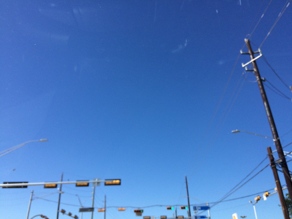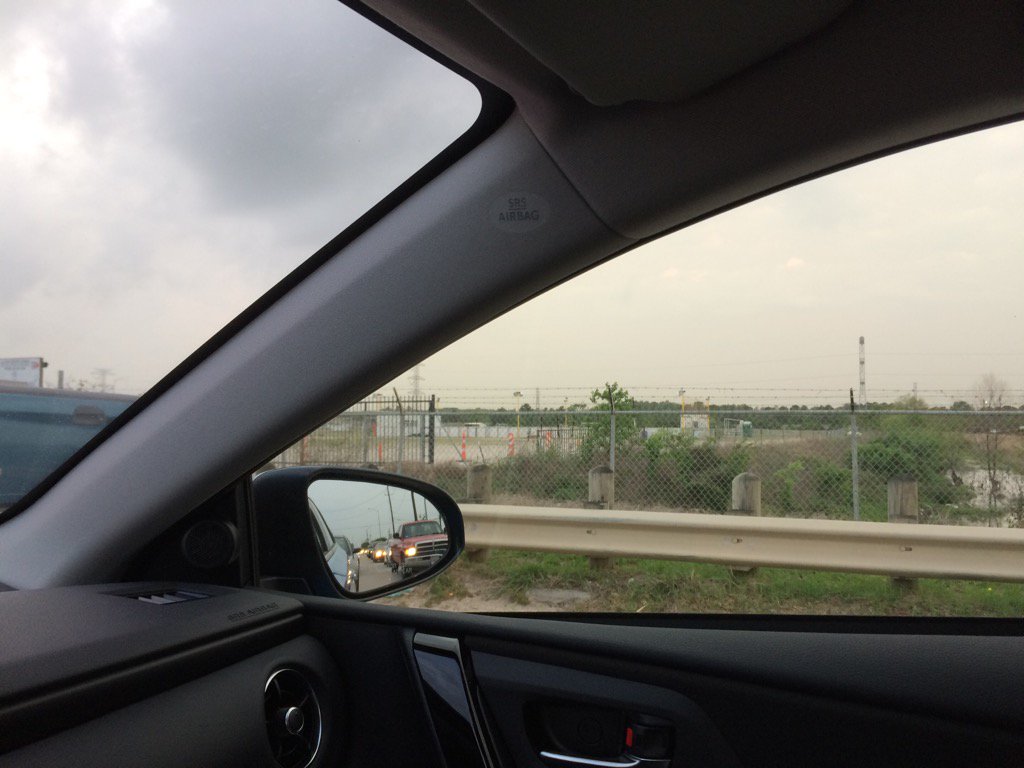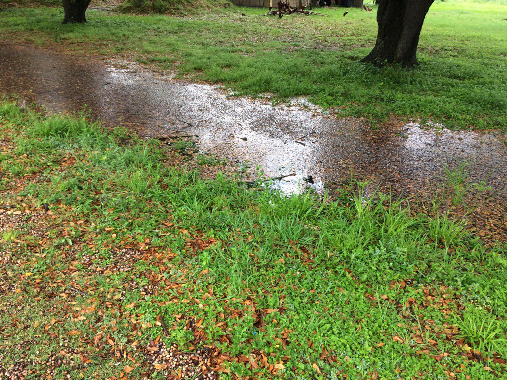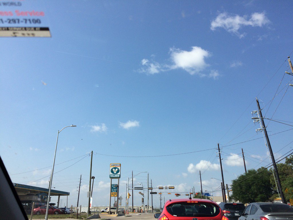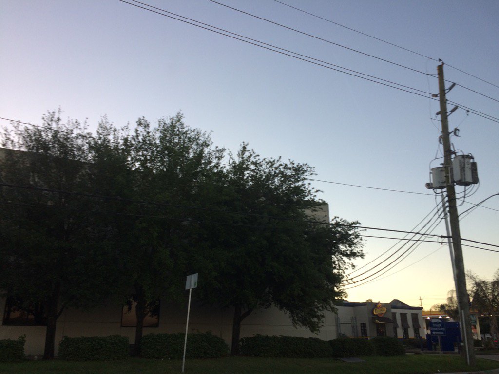
West, or maybe northwest Houston, TX, during the early morning.

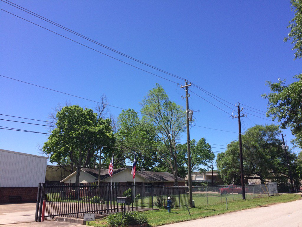
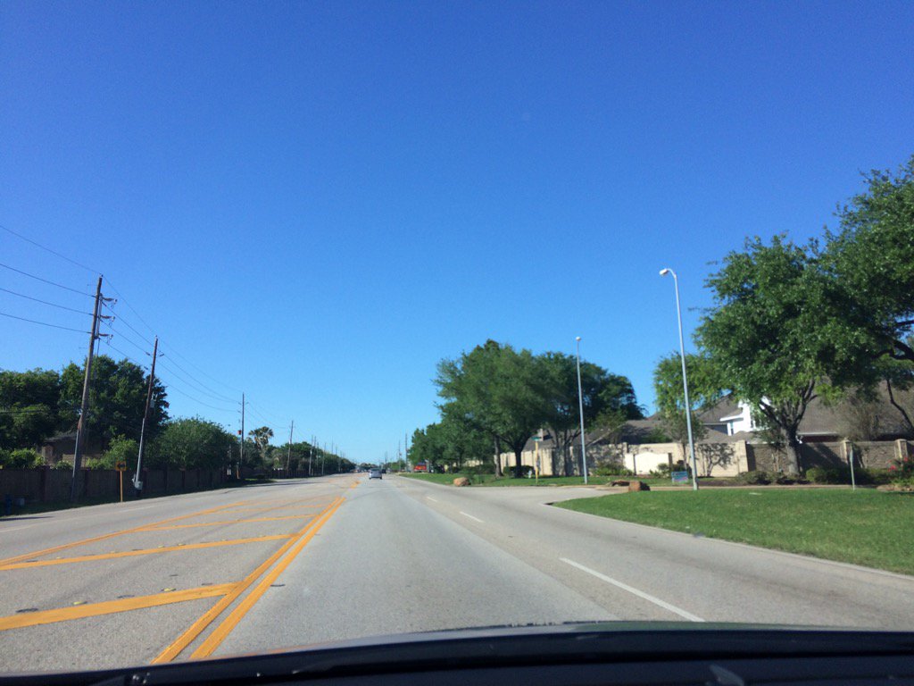
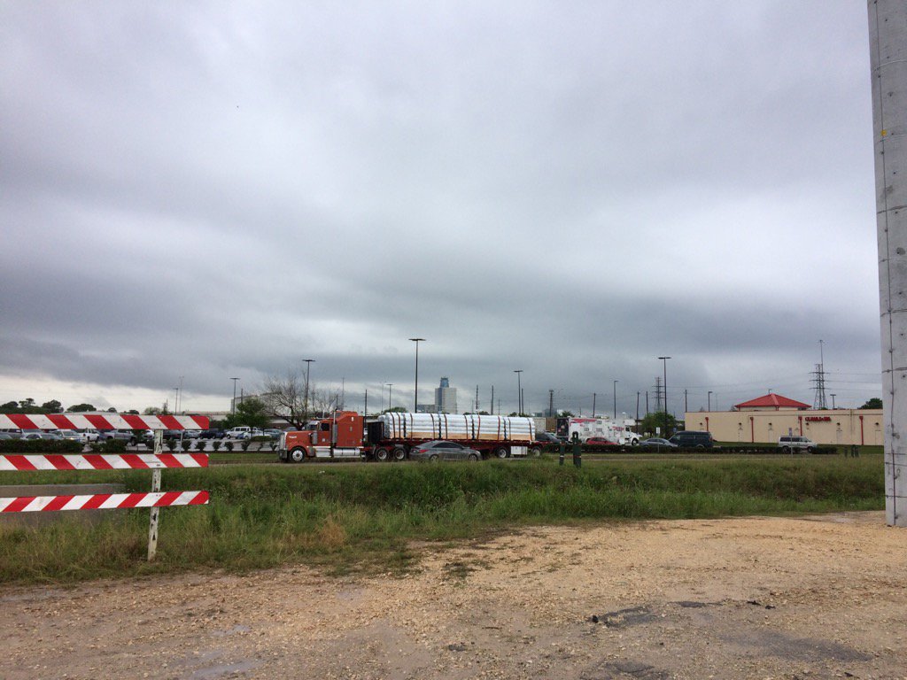
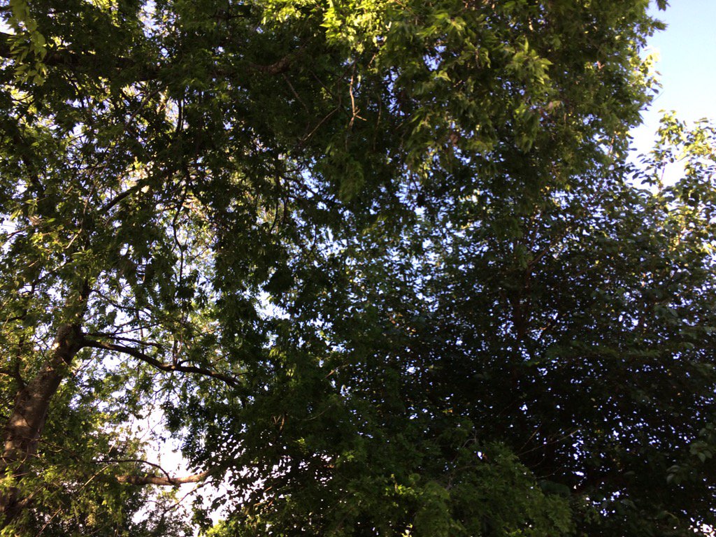
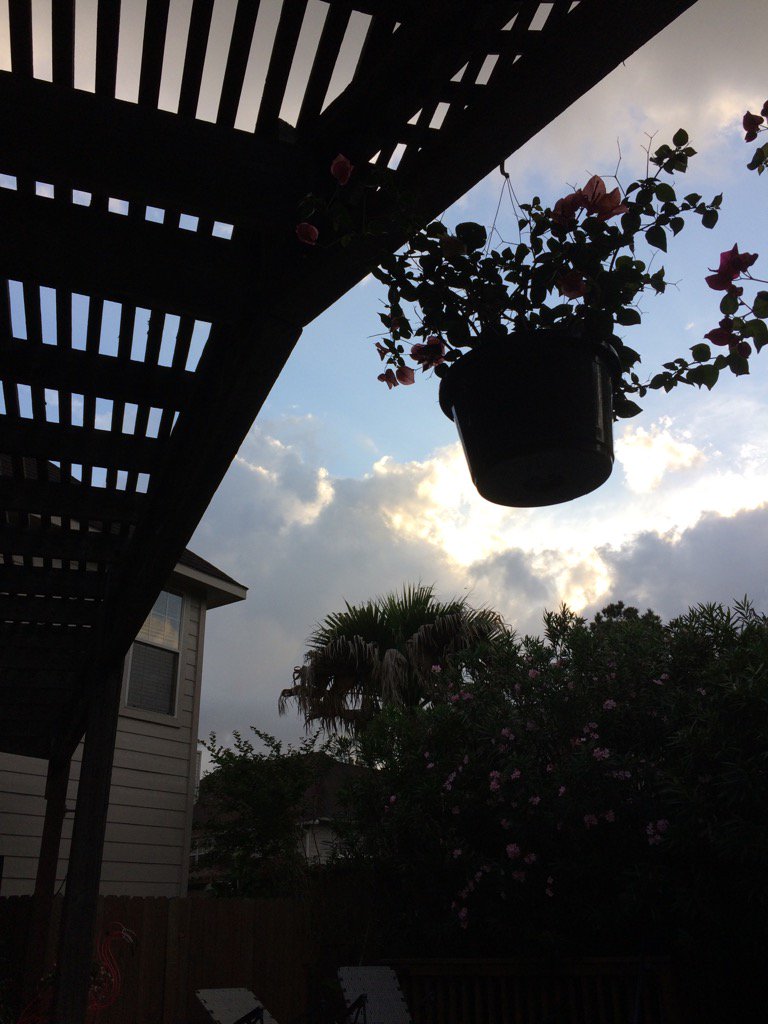
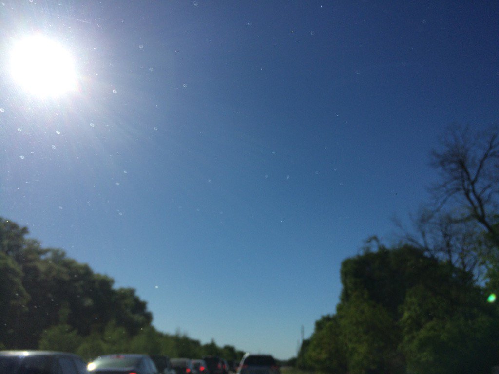
West Houston, TX, during the late afternoon.
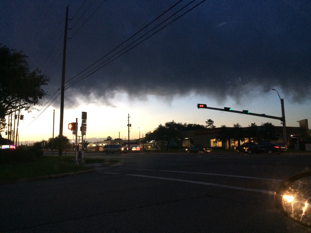
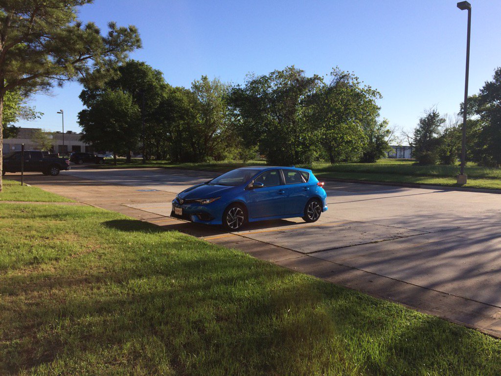
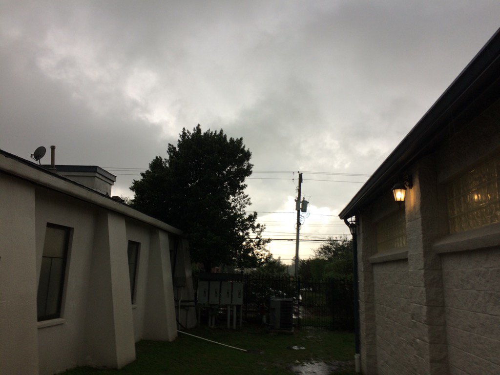
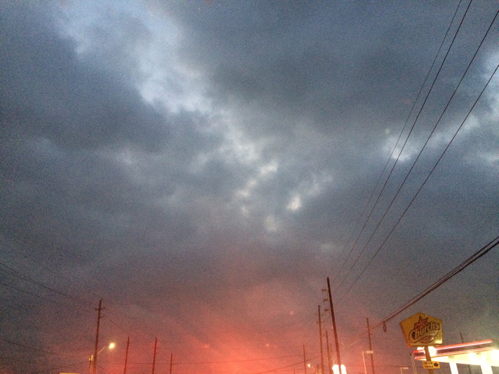
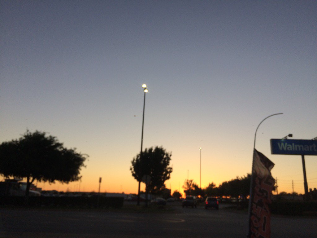
Northwest Houston, TX, during the early evening.
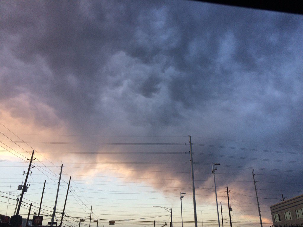
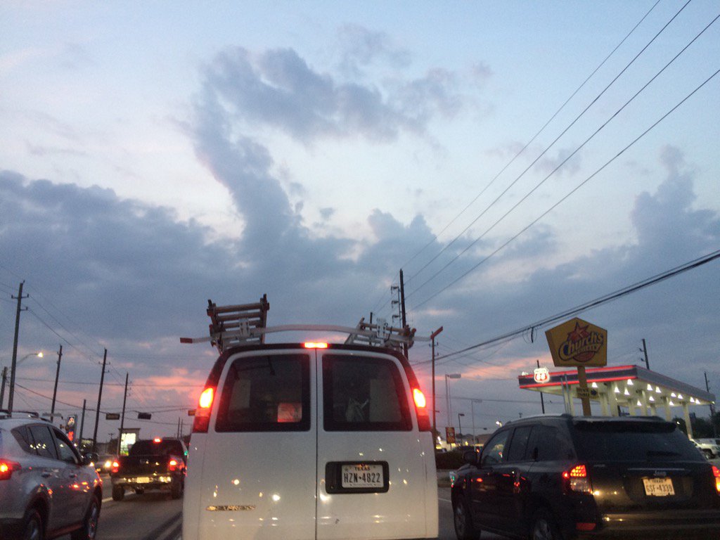
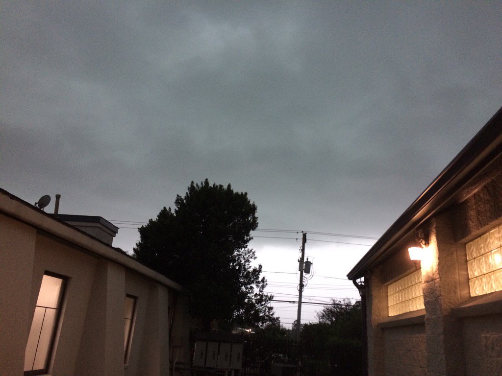
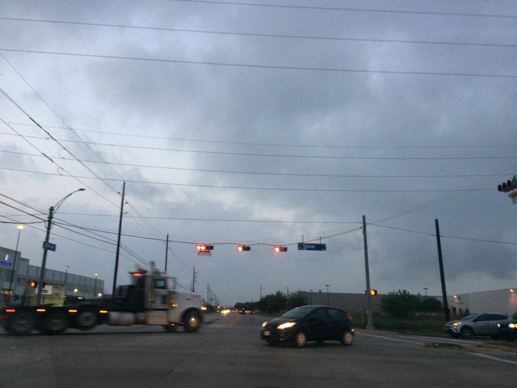
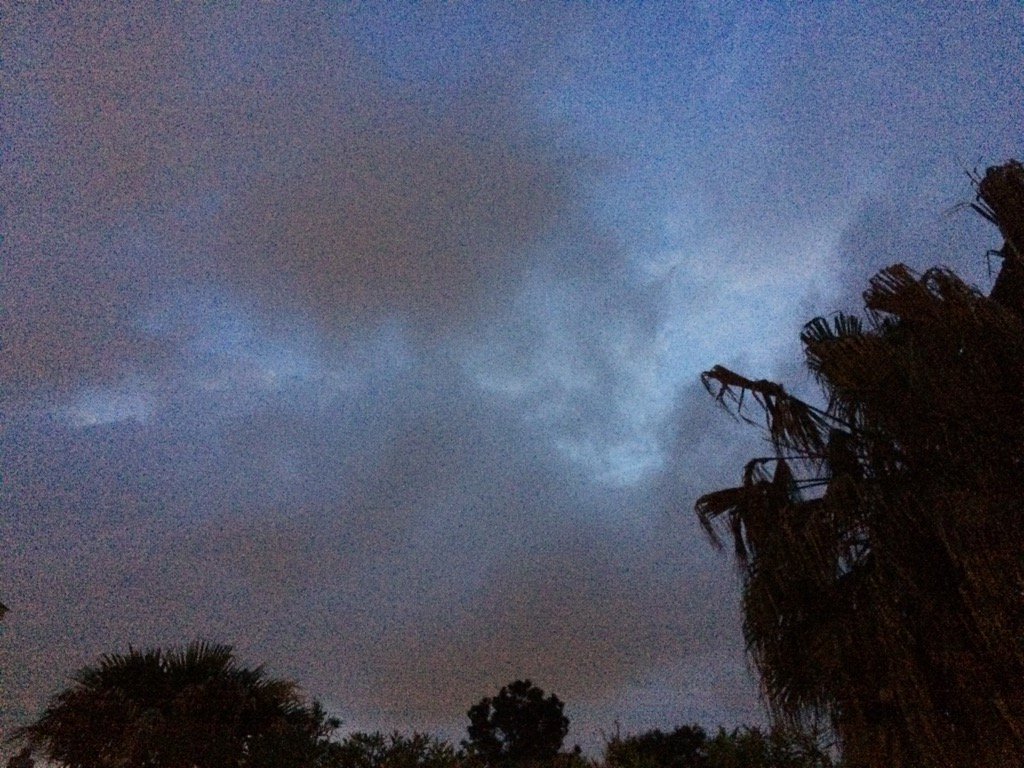
Northwest Houston, TX, during the late evening.
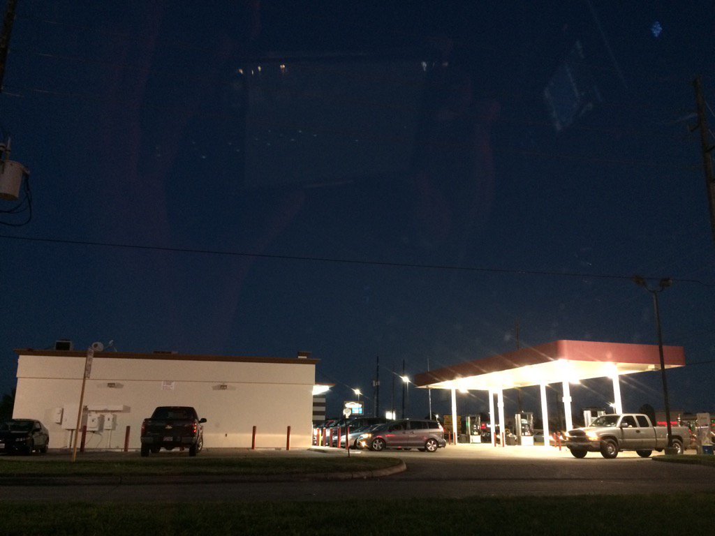
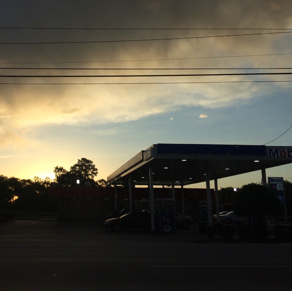
Northwest Houston, TX, during the early night.
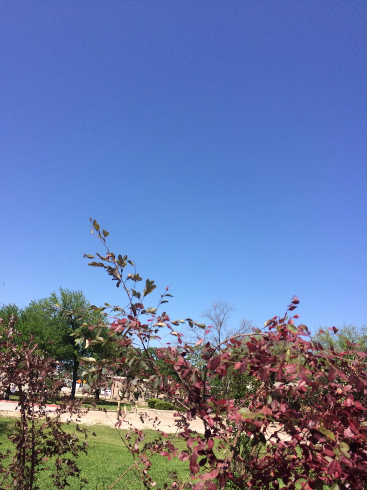
Summary: The day was sunny, mostly clear, and dry. No rain. The sky stayed clear with maybe a few small clouds. The wind speeds were calm with moderate to moderately strong gusts. There was a air alert advisory issued for the Houston, TX area. There were no other advisories, watches, warnings, or weather statements issued for the Houston, TX area, during anytime of the day, that I know of. The low temps were in the 50's with maybe a few 60's and the high temps were in the 80's. With maybe a few record highs. For the Houston, TX area.
Locations: Northwest and west Houston, TX.
Thoughts: It was pretty warm today. It is starting to feel like summer. I wonder if Houston, TX broke any record highs.
Hazardous Weather Outlook
Hazardous Weather Outlook
National Weather Service Houston/Galveston TX
614 AM CDT Fri Mar 31 2017

TXZ163-164-176>179-195>200-210>214-226-227-235>238-011115-
Austin-Brazoria-Brazos-Burleson-Chambers-Colorado-Fort Bend-
Galveston-Grimes-Harris-Houston-Jackson-Liberty-Madison-Matagorda-
Montgomery-Polk-San Jacinto-Trinity-Walker-Waller-Washington-
Wharton-
614 AM CDT Fri Mar 31 2017

This hazardous weather outlook is for portions of Southeast Texas..

.DAY ONE...Today and Tonight

Hazardous weather is not expected.

.DAYS TWO THROUGH SEVEN...Saturday through Thursday

Severe weather and flooding may be possible Sunday as an upper
level low moves across the region. The severe weather threat
encompasses the whole region for the potential of tornadoes, hail
and damaging winds. Locally heavy rainfall may also occur and lead
to flash flooding in low lying areas as well as rapid rises on
area rivers, creeks and bayous. There is still some uncertainty on
the timing of these threats but generally think the potential will
begin after midnight Sunday and persist through much of the day.

.SPOTTER INFORMATION STATEMENT...

Spotter activation may be needed Sunday.

$$