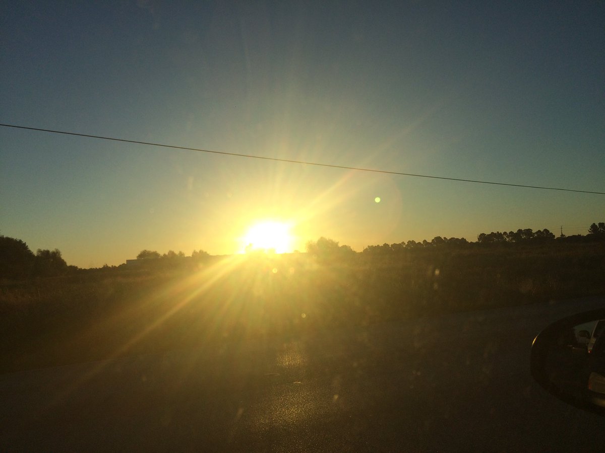
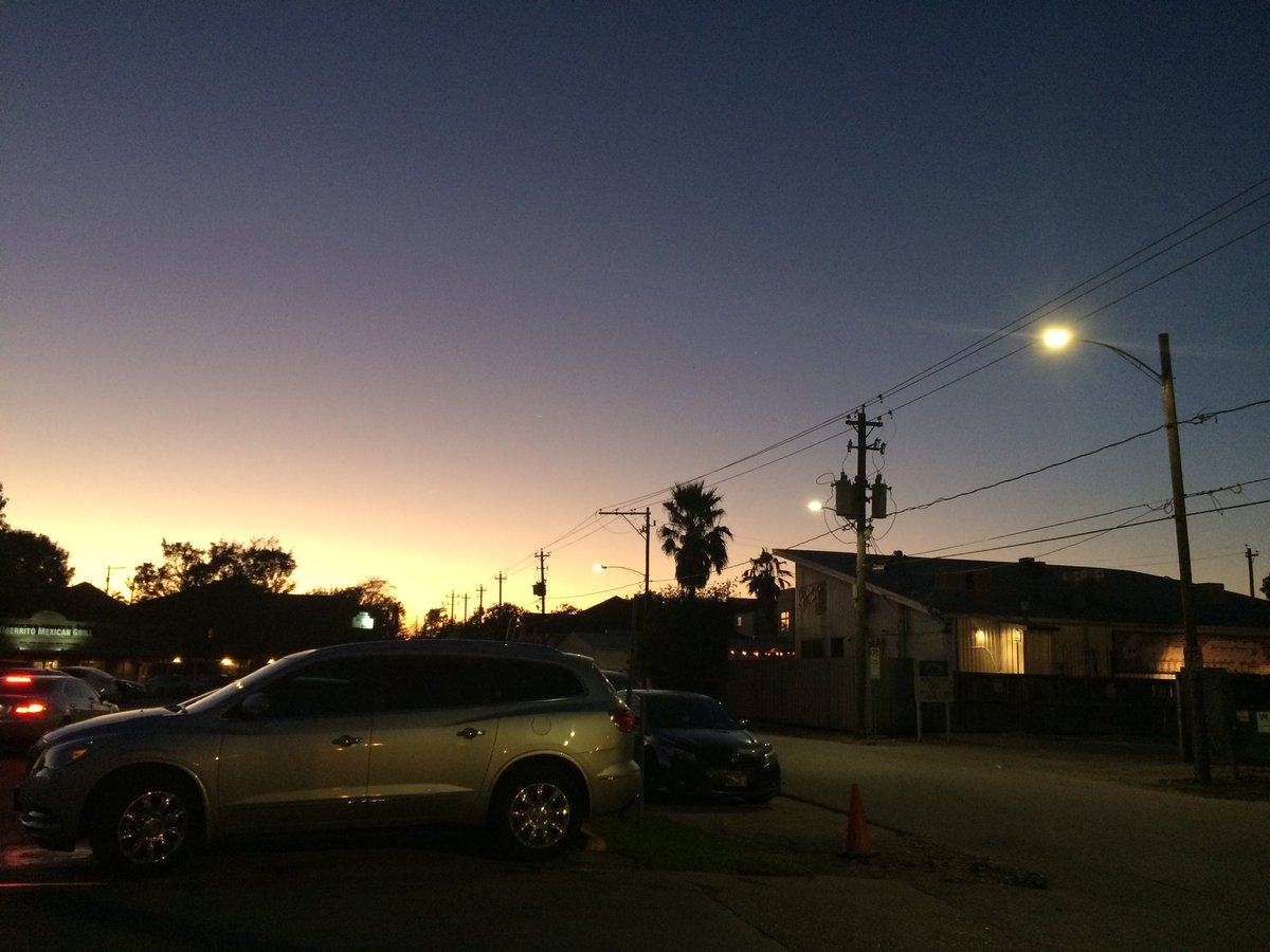
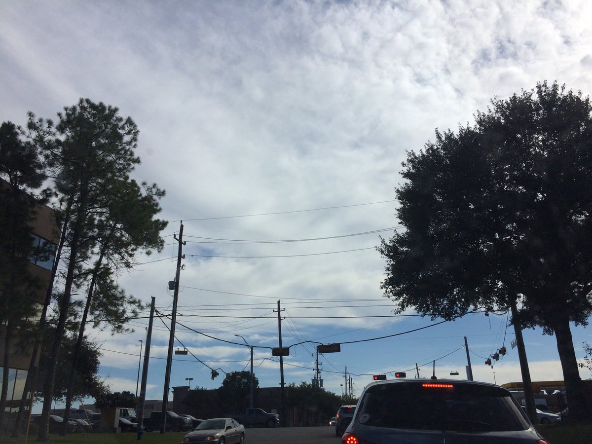
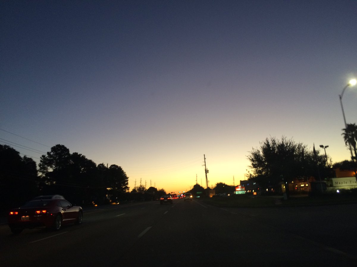
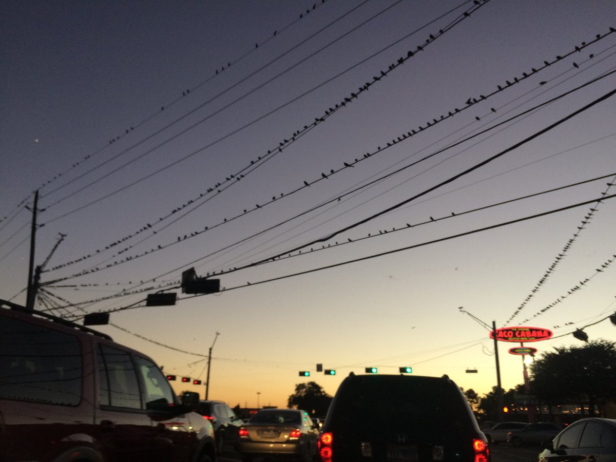
Northwest Houston, TX, during the early morning.
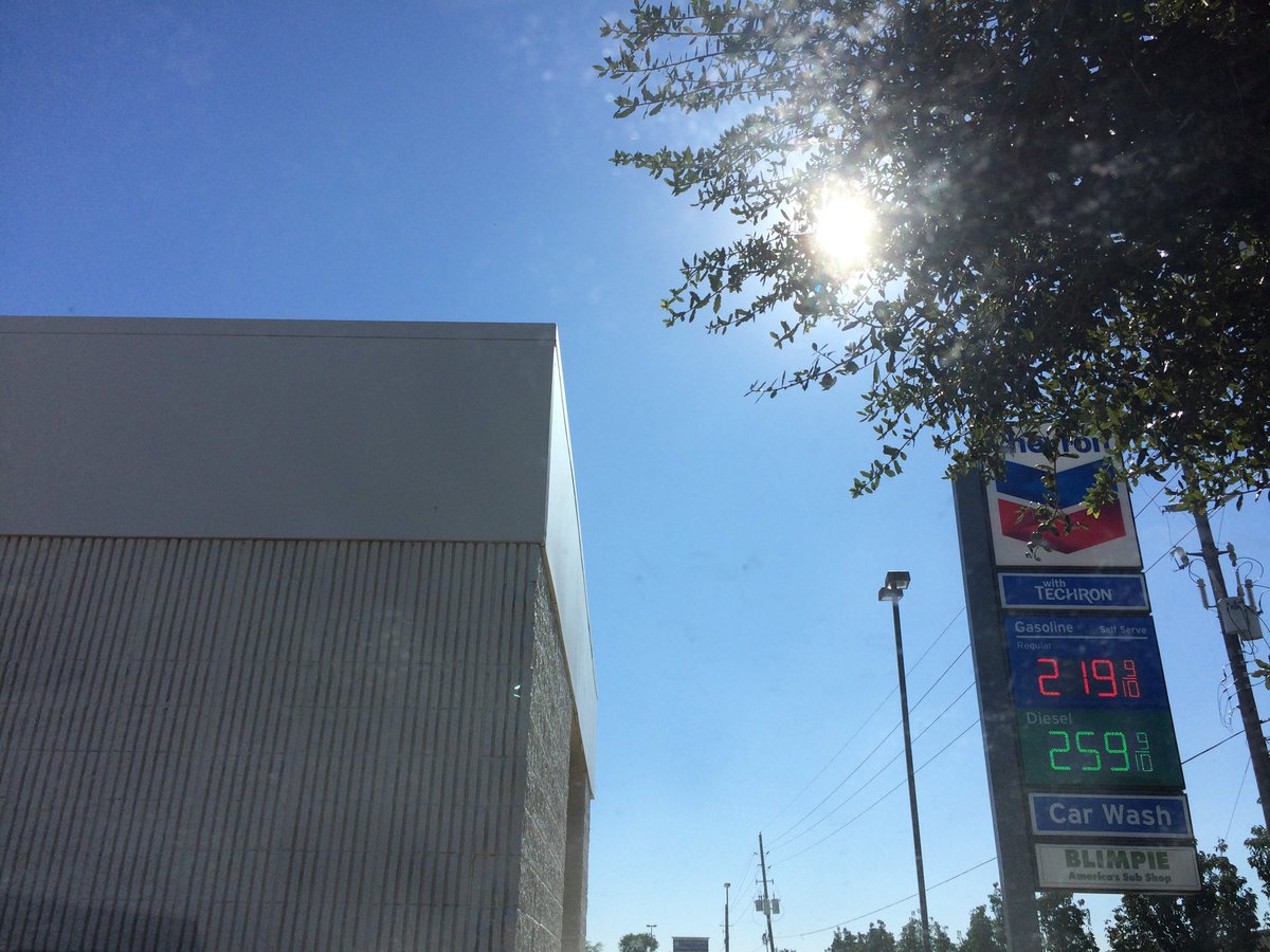
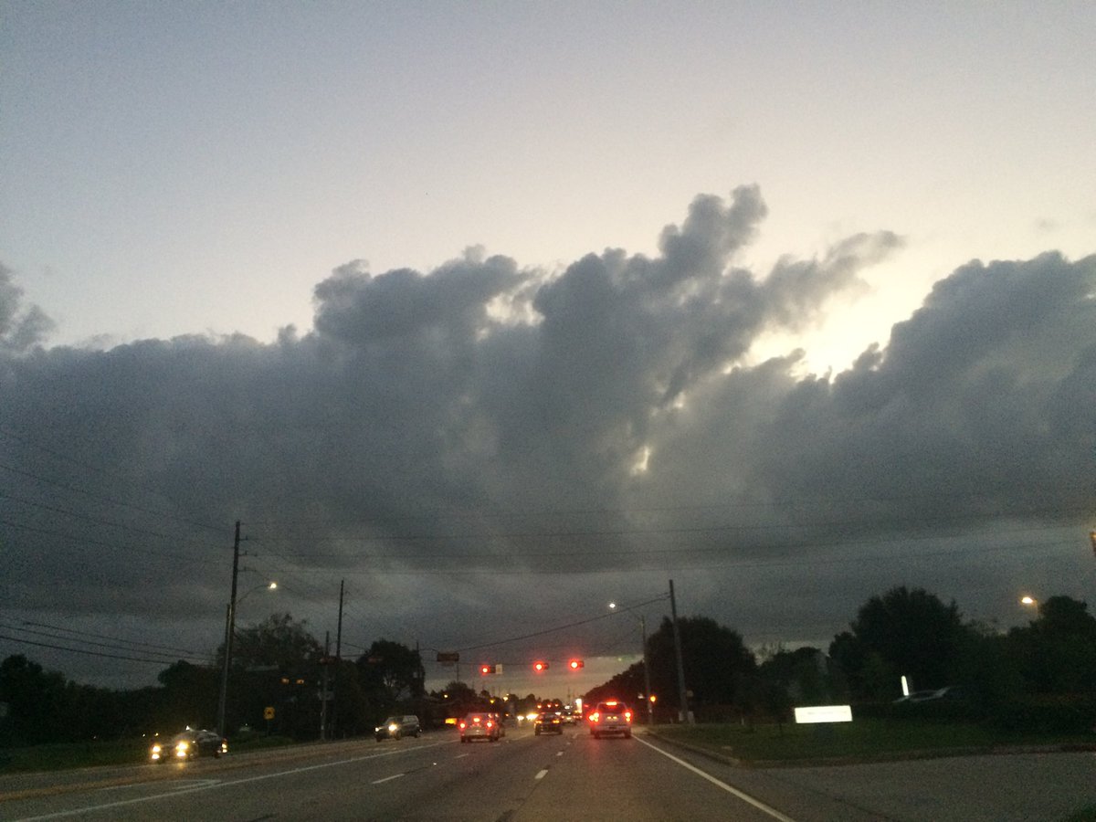
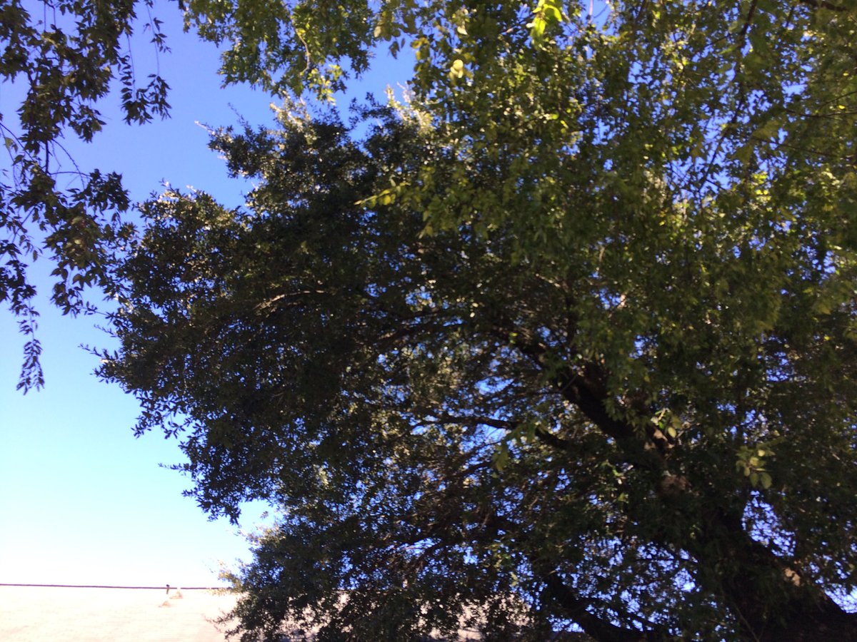
Conroe, TX, in WG Jones State Forest Park, during the mid-morning.
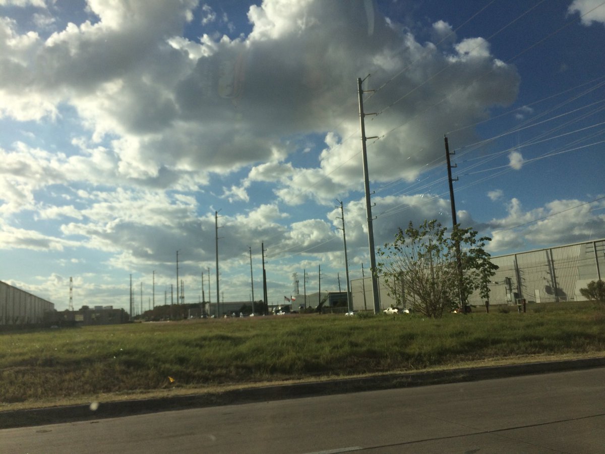
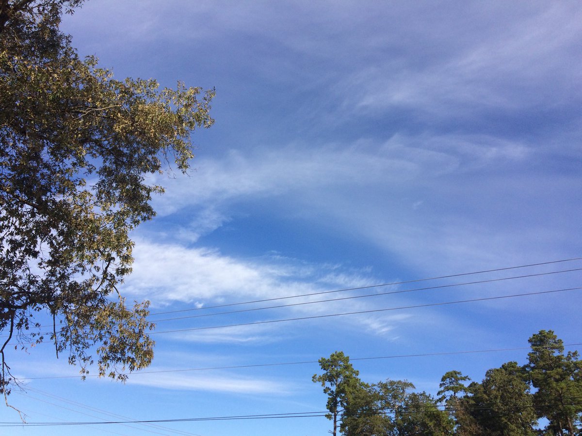
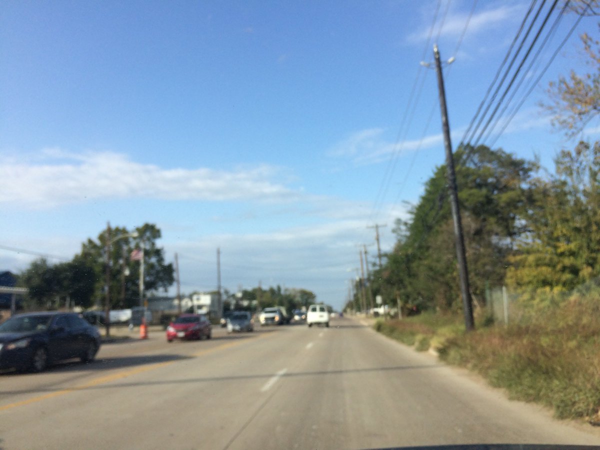
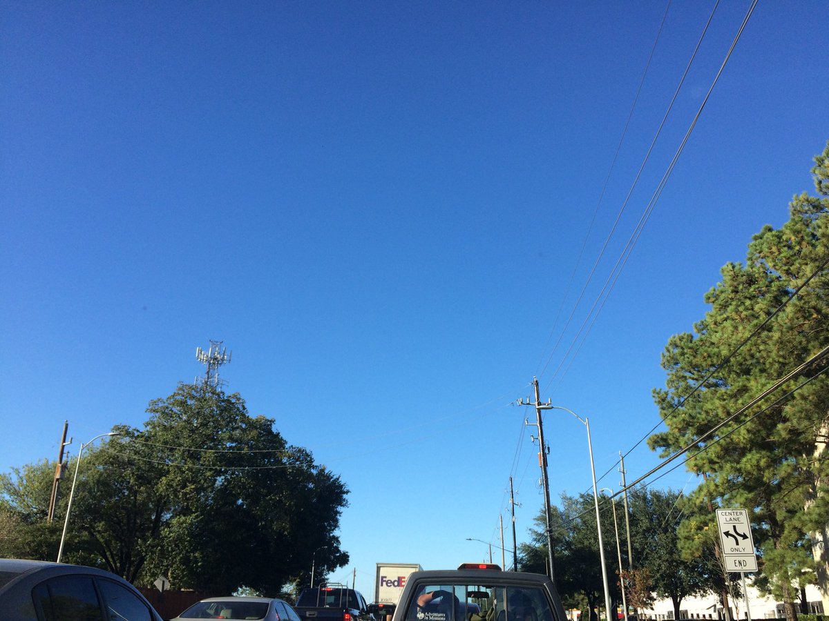
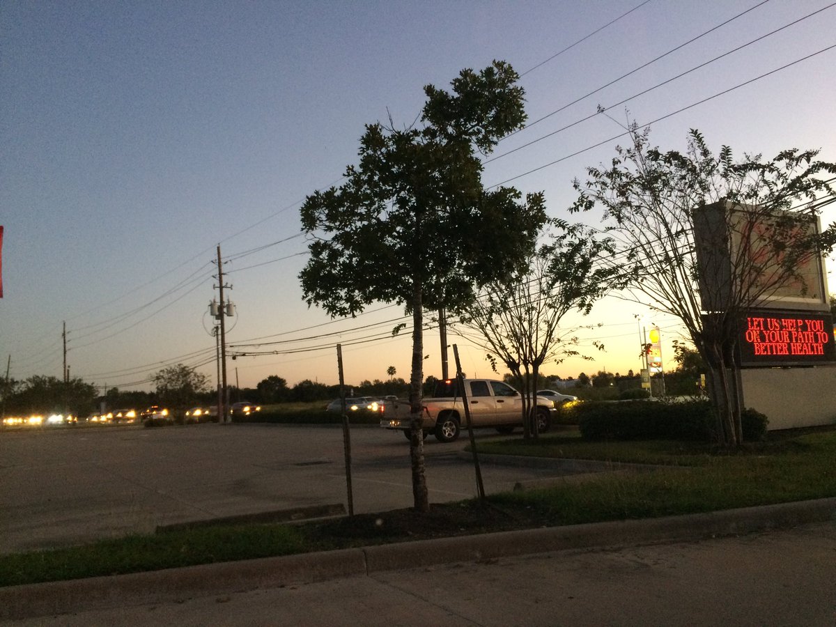
Cypress, TX, during the late morning.
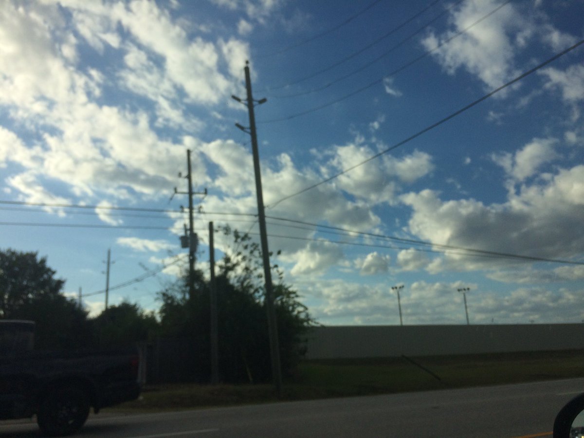
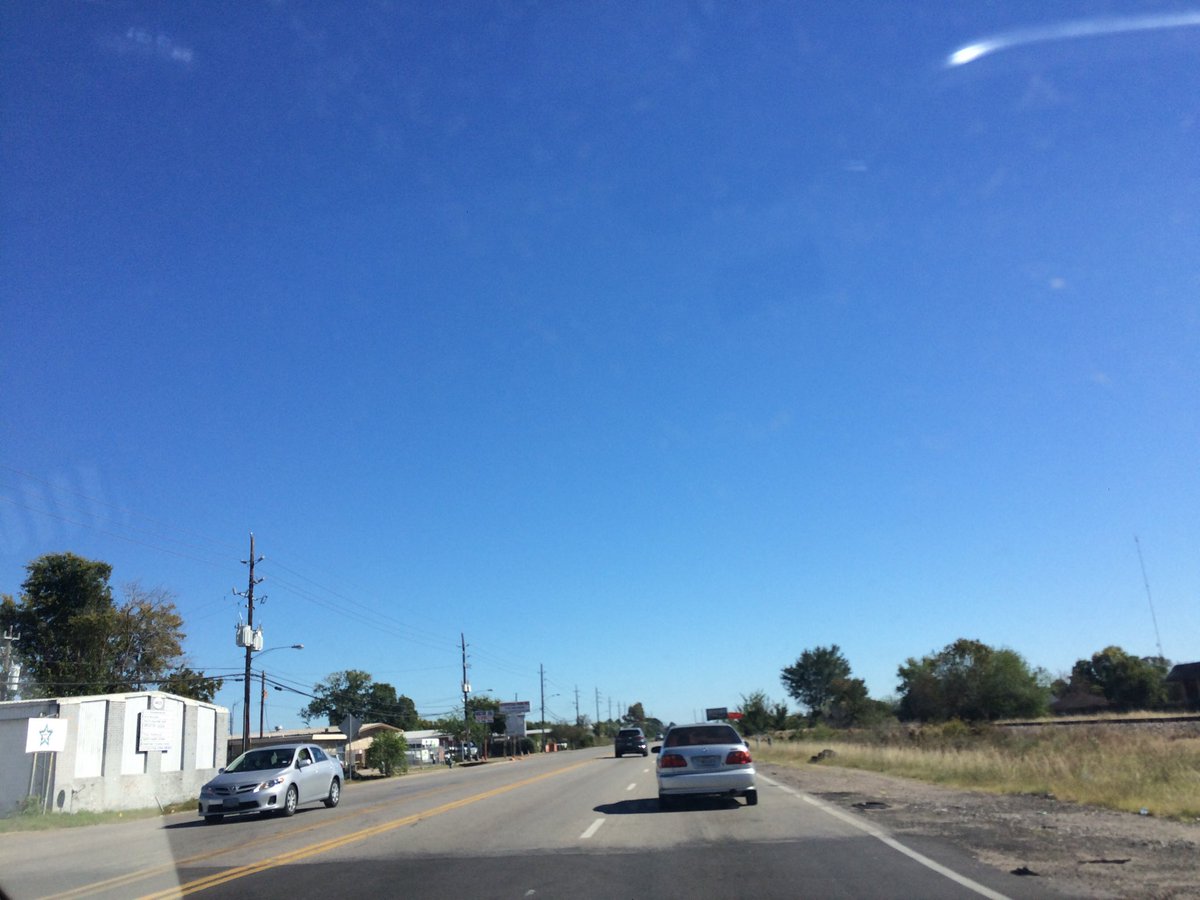
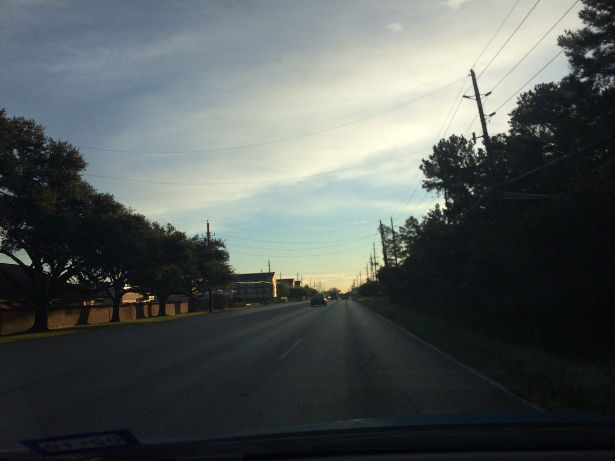
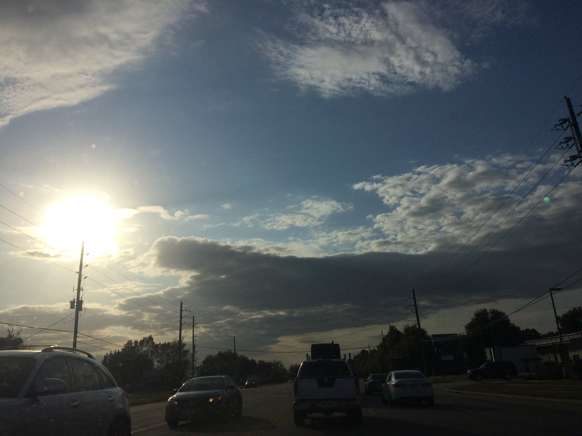
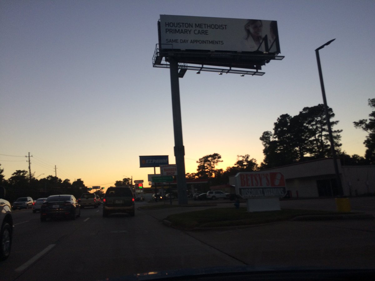
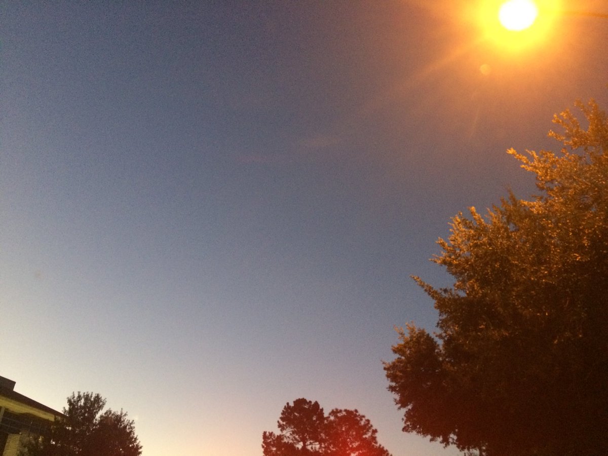
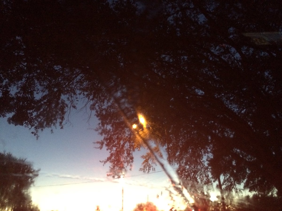
Northwest Houston, TX, during the mid-afternoon.
Summary: The day was mostly cloudy, very cool, and dry. No rain. I didn't see any rain on the radar, over the Houston, TX, or Conroe, TX area, during anytime of the day. I didn't see, feel, or hear any rain drops. Alto stratus and stratus clouds looked to cover most of the sky, in the Houston, TX and Conroe, TX area, during the morning, Alto stratus and stratus clouds looked to cover most of the sky, in northwest Houston, TX, during the afternoon. Alto stratus and stratus clouds looked to be widely scattered across the sky, during the evening. The sky looked to have become clear during the early, or maybe late night. The wind speeds looked to be calm with gentle to moderate gusts with some moderately strong gusts, in the Houston, TX and Conroe, TX area, during the morning. The wind speeds looked to be calm with gentle to moderate gusts with some moderately strong gusts, in the Houston, TX area, during the afternoon and evening. The wind speeds looked to be calm, in the Houston, TX area, during the night. It felt very cold, during the early morning and late night. It felt cold, during the mid-morning and early night. It felt very cool, almost cool, during the late morning, afternoon, and evening. There was a Hazardous Weather Outlook issued for the Houston, TX area, by NOAA. There were no other watches, warnings, alerts, advisories, or weather statements/outlooks issued for the Houston, TX area, that I know of. The low temperatures looked to be in the low to mid 40's and the high temperatures looked to be in the low 60's with maybe some mid 60's, for the Houston, TX area.
Houston, TX And Conroe, TX Storm Summary: No rain. I didn't see any rain on the radar, over the Houston, TX, or Conroe, TX area, during anytime of the day. I didn't see, or hear about any flooding, or damage, anywhere in the Houston, TX, or Conroe, TX area.
My Storm Summary: I didn't see, feel, or hear any rain drops. I didn't see any storm like, or rain producing like clouds, flooding, wet roads, puddles, wet ground, lightning, or damage. I didn't hear any rumbles of thunder.
Locations: Northwest and north Houston, TX, Cypress, TX, and Conroe, TX.
Thoughts: I didn't feel as cold as I thought I was going to feel, on my hike through WG Jones State Forest Park in Conroe, TX.
Area Forecast Discussion
Issued by NWS Houston/Galveston, TX
000
FXUS64 KHGX 290242
AFDHGX

Area Forecast Discussion
National Weather Service Houston/Galveston TX
942 PM CDT Sat Oct 28 2017


.DISCUSSION...
Skies have cleared out. Temperatures falling quickly in very dry
airmass. Will likely see an hour of freezing temperatures near
Crockett but otherwise temperatures should level off at 33-36 in
the rural areas and warmer in the Metro. Winds have nearly
decoupled inland and should in the next hour or two. Winds over
the coastal waters should gradually lessen and seas subsiding as
well. Will let SCA rollover to SCEC for the early morning hours.
45

&&

.PREV DISCUSSION... /ISSUED 730 PM CDT Sat Oct 28 2017/

AVIATION...
VFR. Light northerly winds overnight becoming calm. Southwest
winds 5-10kts developing after 14z over most of the area. A few
patches of CI possible.

45

PREV DISCUSSION... /ISSUED 700 PM CDT Sat Oct 28 2017/

DISCUSSION...
Dry conditions, calm winds and mostly clear to partly cloudy
skies will allow for very good radiational cooling overnight
as surface high pressure settles into the area. Much of inland
Southeast Texas can expect low temperatures to bottom out in
the 30s before sunrise which could be near record low readings.
The current forecast package looks right on track, and no
significant changes are anticipated on the evening update.  42

PREV DISCUSSION... /ISSUED 358 PM CDT Sat Oct 28 2017/

DISCUSSION...
Dry and much cooler weather has settled in across Southeast Texas
today behind yesterday`s cold front. Visible satellite imagery
shows a few mid and high level clouds streaming across the region
as the base of an upper level trough continues to nudge eastward
and expect at least periods of thin cloud cover to drift across
the region tonight as this upper trough swings east of the region.

As surface high pressure centered near Abilene this afternoon
slides across the region tonight, a nearly non-existent surface
pressure gradient will result in calm winds across the region.
Dry conditions, calm winds and mostly clear to partly cloudy
skies will allow for temperatures to radiationally cool into the
30s and lower across much of the region tonight, with a few
locations along and east of a Madisonville-Conroe-Cleveland line
possibly even seeing freezing to just below freezing temperatures
for a brief period of time. However, the aforementioned passing
clouds may result in less than perfect radiational cooling
conditions and have low confidence on the duration of freezing
temperatures in this area. As a result, have opted to hold off on
any kind of Freeze Warning as the duration of freezing
temperatures is expected to be too short for widespread impacts
(likely sometime in the hours around sunrise) but will highlight
this risk area with a Special Weather Statement. In addition to
the potential for freezing temperatures, record low temperatures
will also be a possibility in the Houston metro Sunday morning.
For more information on these records, please see the climate
section included at the end of this discussion.

Northwest flow aloft becomes established tomorrow as the upper
trough exits the region, allowing dry conditions to continue.
Expect temperatures to warm a few degrees higher than today into
the upper 60s-lower 70s as the departure of the surface high
results in light southwesterly winds developing across the region.
The warming trend continues into Monday as highs climb into the
mid 70s to lower 80s, with southerly winds drawing Gulf moisture
back into the region. Only expect enough moisture return Monday to
result in a few clouds, but it will allow for scattered showers
to spread into Southeast Texas by Tuesday.

The flow aloft flattens during the mid-week period as a strong
upper low drops to the Great Lakes out of Canada and a compact
disturbance now 400 miles off the California coast reaches
southern California. As a sub-tropical jet slides across Texas in
the quasi-zonal flow aloft, widespread forcing for ascent will
result in scattered showers and thunderstorms developing each day
Wednesday through the end of the week. Expect coverage to be
enhanced by passing disturbances in the flow aloft, likely on
Wednesday when energy from the compact disturbance off the
California coast arrives. Similar to what the
overnight package noted, will have to keep an eye on the mid-week
period for locally heavy rain potential as deep Gulf moisture
(GFS forecast precipitable water values in the 1.7-1.9 inch range)
surges back into the region. A secondary disturbance looks to
arrive sometime Friday/this weekend, resulting in another round of
increased shower and thunderstorm coverage. Given timing
differences in medium range guidance on the arrival of this
feature, have kept low rain chances through the weekend.

Huffman

MARINE...
The large high pressure cell over central Texas will expand
eastward and envelope eastern Texas and surrounding coastal waters
through Sunday. The result will be to loosen the offshore
pressure gradient and take Saturday afternoon`s moderate to strong
northerly flow to below caution levels near sunrise. Responding
sea heights will gradually fall from 3-4 feet nearshore/6-7 feet
offshore to below areawide 4 feet by late morning Sunday. Winds
will significantly weaken and become variable to onshore tomorrow
afternoon through early Monday. Onshore flow resumes Monday
morning and western water winds may strengthen to near caution
criteria Tuesday. A mid week weak upper level trough passage may
push a weak surface front into northeastern Texas and slightly
back surface onshore winds more easterly...increase Tuesday
afternoon through Thursday shower and thunderstorm chances. 31

FIRE WEATHER...
The cooler and drier backing air mass behind yesterday`s frontal
passage has elevated the potential for hazardous fire weather
conditions. Afternoon relative humidities falling into the 20%s
will aid in further curing quick-burning/igniting fuels (grasses).
North winds will significantly weaken tonight and remain weak
southwest tomorrow afternoon. Onshore flow resumes Monday and this
will steadily increase moisture into mid week. The approach and
passage of a shallow upper trough may advance a weak surface
boundary into northern Texas. A higher probability of Tuesday
through Thursday precipitation in the vicinity of this boundary
laying within a more humid air mass. 31

CLIMATE...
Record low temperatures may be tied or broken on October 29. A
listing of current record low temperatures for the primary climate
sites are listed below.

                        OCTOBER 29
LOCATION          RECORD LOW TEMPERATURE       YEAR
Houston IAH                39                  1910
Houston HOU                42                  1952
College Station            32                  1910
Galveston                  45                  1913

&&

.PRELIMINARY POINT TEMPS/POPS...
College Station (CLL)      35  72  46  79  56 /   0   0   0   0  20
Houston (IAH)              39  70  49  78  60 /   0   0   0   0  10
Galveston (GLS)            48  67  58  77  69 /   0   0   0   0  10

&&

.HGX WATCHES/WARNINGS/ADVISORIES...
TX...NONE.
GM...SMALL CRAFT SHOULD EXERCISE CAUTION until 10 PM CDT this evening
     for the following zones: Galveston Bay...Matagorda Bay.

     SMALL CRAFT SHOULD EXERCISE CAUTION until 4 AM CDT Sunday for
     the following zones: Coastal waters from Freeport to the
     Matagorda Ship Channel out 20 NM...Coastal waters from High
     Island to Freeport out 20 NM.

     Small Craft Advisory until 10 PM CDT this evening for the
     following zones: Waters from Freeport to the Matagorda Ship
     Channel from 20 to 60 NM...Waters from High Island to
     Freeport from 20 to 60 NM.

     SMALL CRAFT SHOULD EXERCISE CAUTION until 4 AM CDT Sunday for
     the following zones: Waters from Freeport to the Matagorda
     Ship Channel from 20 to 60 NM...Waters from High Island to
     Freeport from 20 to 60 NM.

&&

$$

Discussion...45
Hazardous Weather Outlook
Hazardous Weather Outlook
National Weather Service Houston/Galveston TX
1025 AM CDT Sat Oct 28 2017

TXZ163-164-176>179-195>200-210>214-226-227-235>238-291530-
Austin-Brazoria-Brazos-Burleson-Chambers-Colorado-Fort Bend-
Galveston-Grimes-Harris-Houston-Jackson-Liberty-Madison-Matagorda-
Montgomery-Polk-San Jacinto-Trinity-Walker-Waller-Washington-
Wharton-
1025 AM CDT Sat Oct 28 2017

This hazardous weather outlook is for portions of Southeast Texas..

.DAY ONE...Today and Tonight

Elevated fire weather conditions are expected across much of
Southeast Texas this afternoon with humidities in the twenties
and northerly winds of 10 to 15 mph.

Pockets of freezing temperatures are possible across parts of the
Brazos Valley and Piney Woods regions tonight.

.DAYS TWO THROUGH SEVEN...Sunday through Friday

Showers and thunderstorms return to the forecast by the middle of
the upcoming week and locally heavy rainfall may be possible
during this time.

.SPOTTER INFORMATION STATEMENT...

Spotter activation will not be needed.

$$