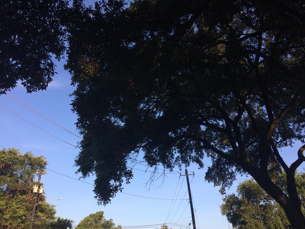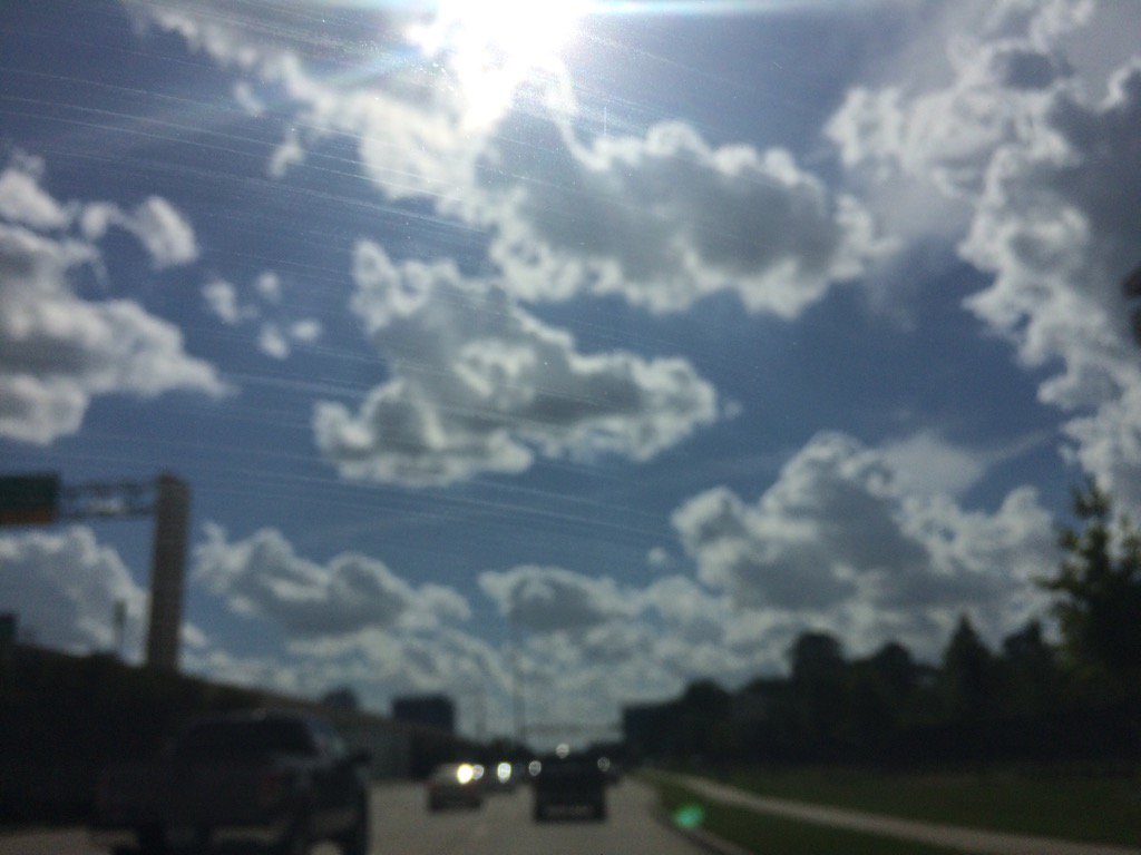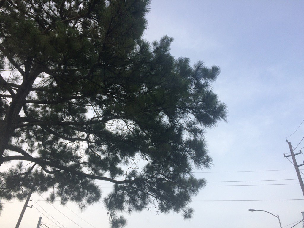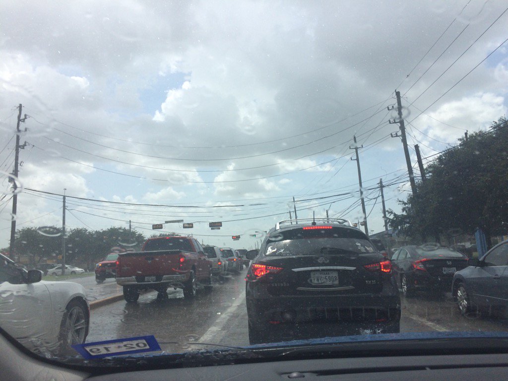
Northwest Houston, TX, during the early morning.
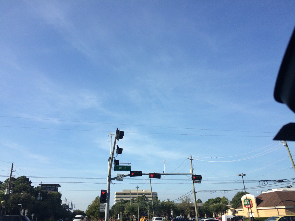
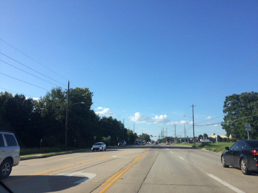
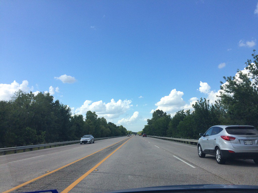
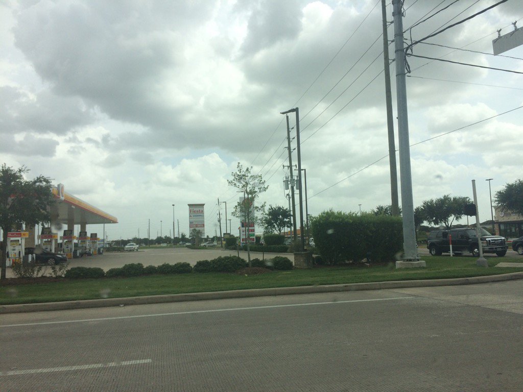
West Houston, TX, during the mid-morning.
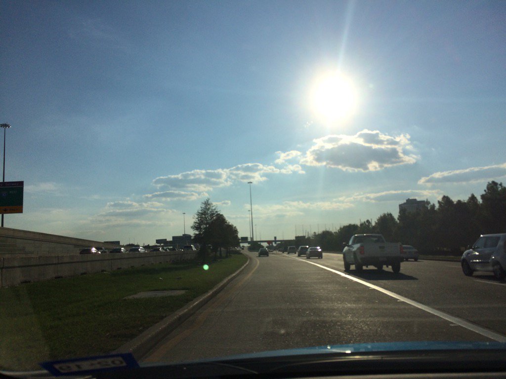
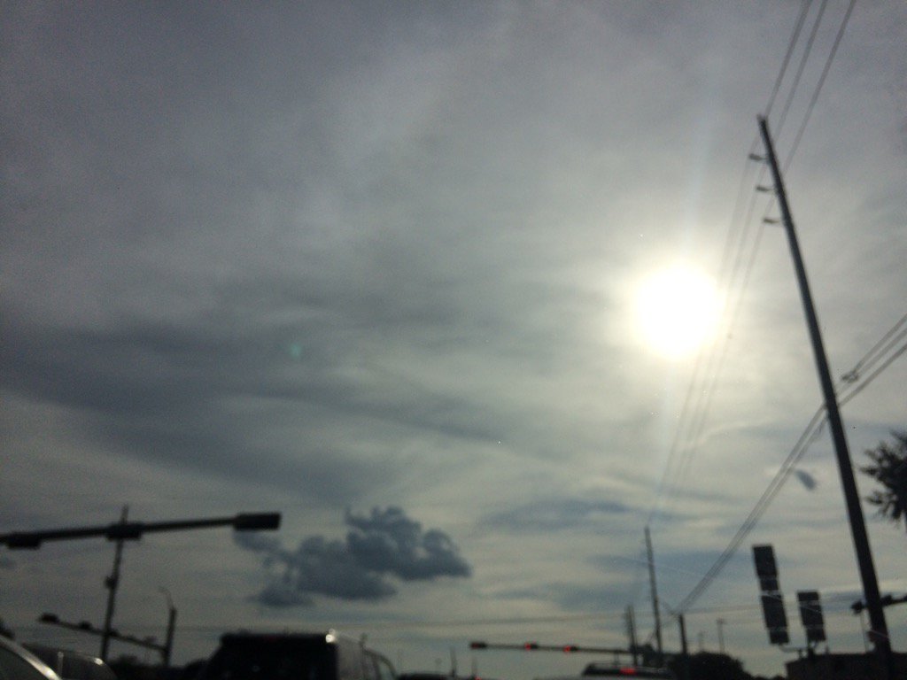
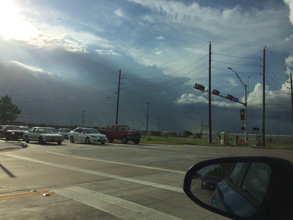
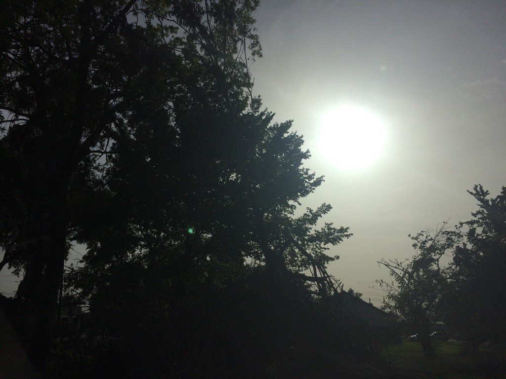
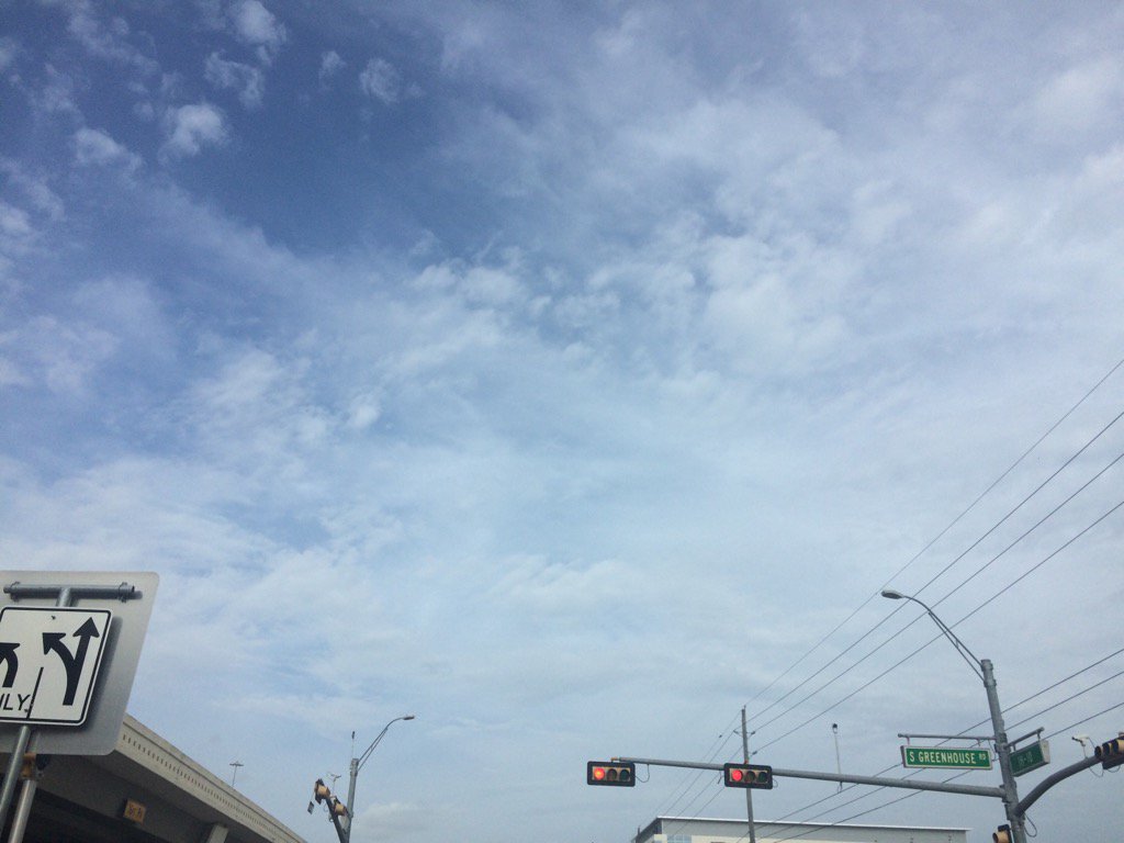
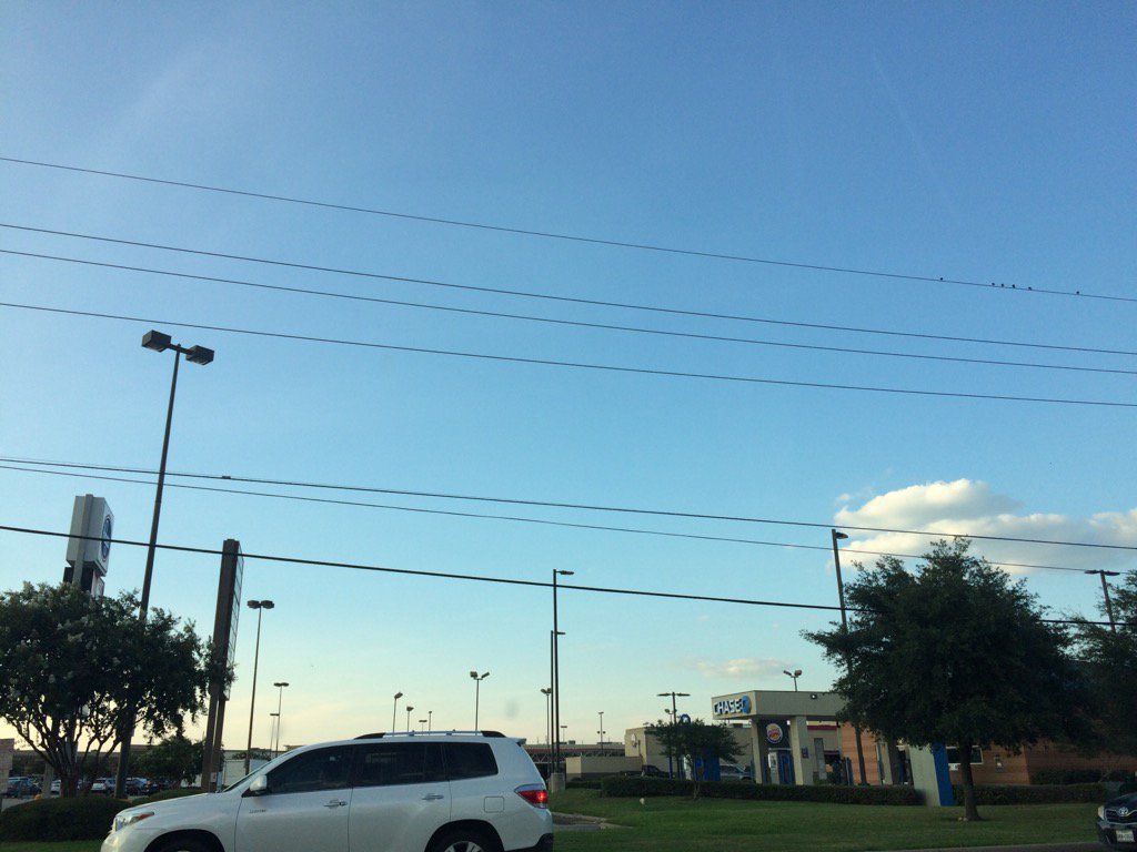
West Houston, TX, during the early evening.
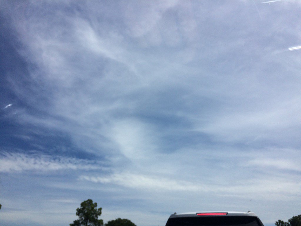
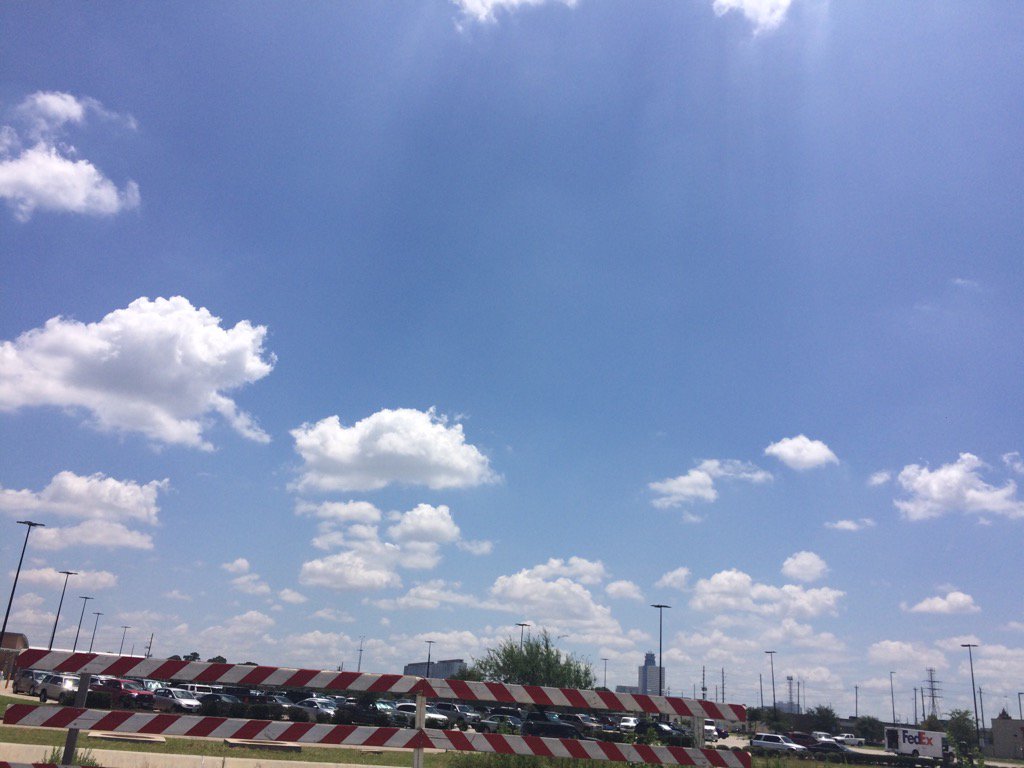
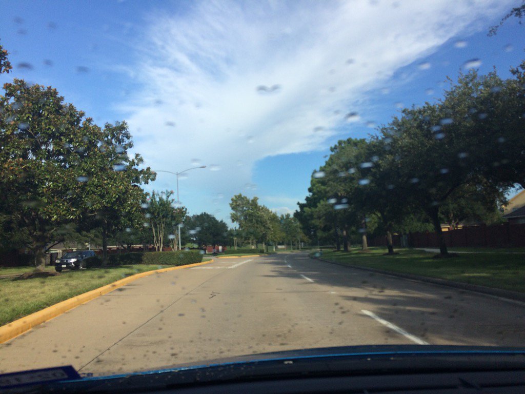
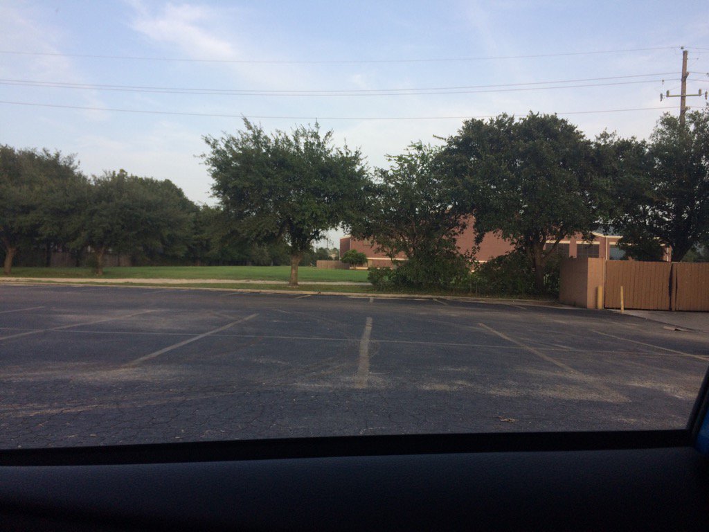
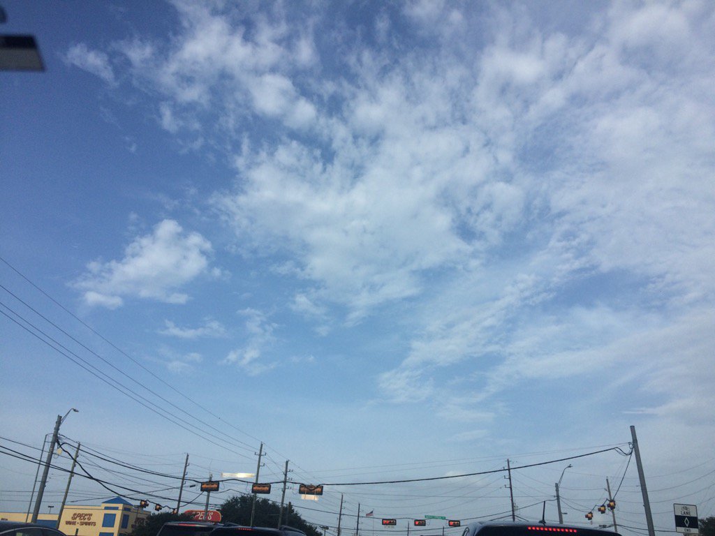
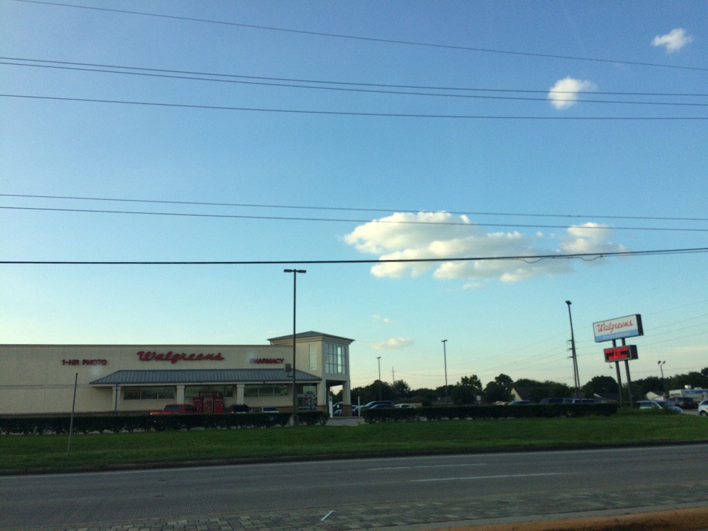
Katy, TX, during the early evening.
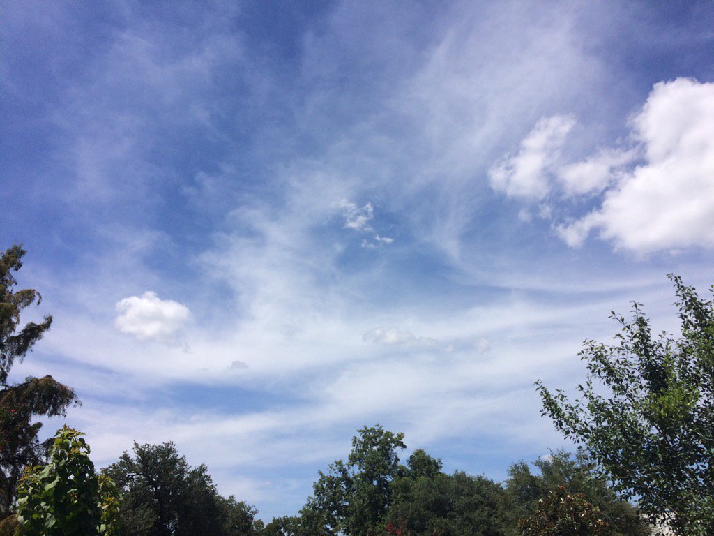
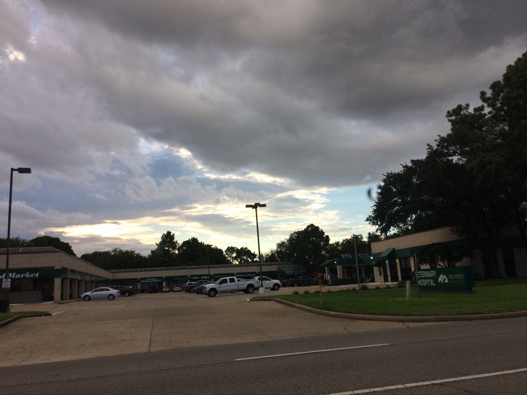
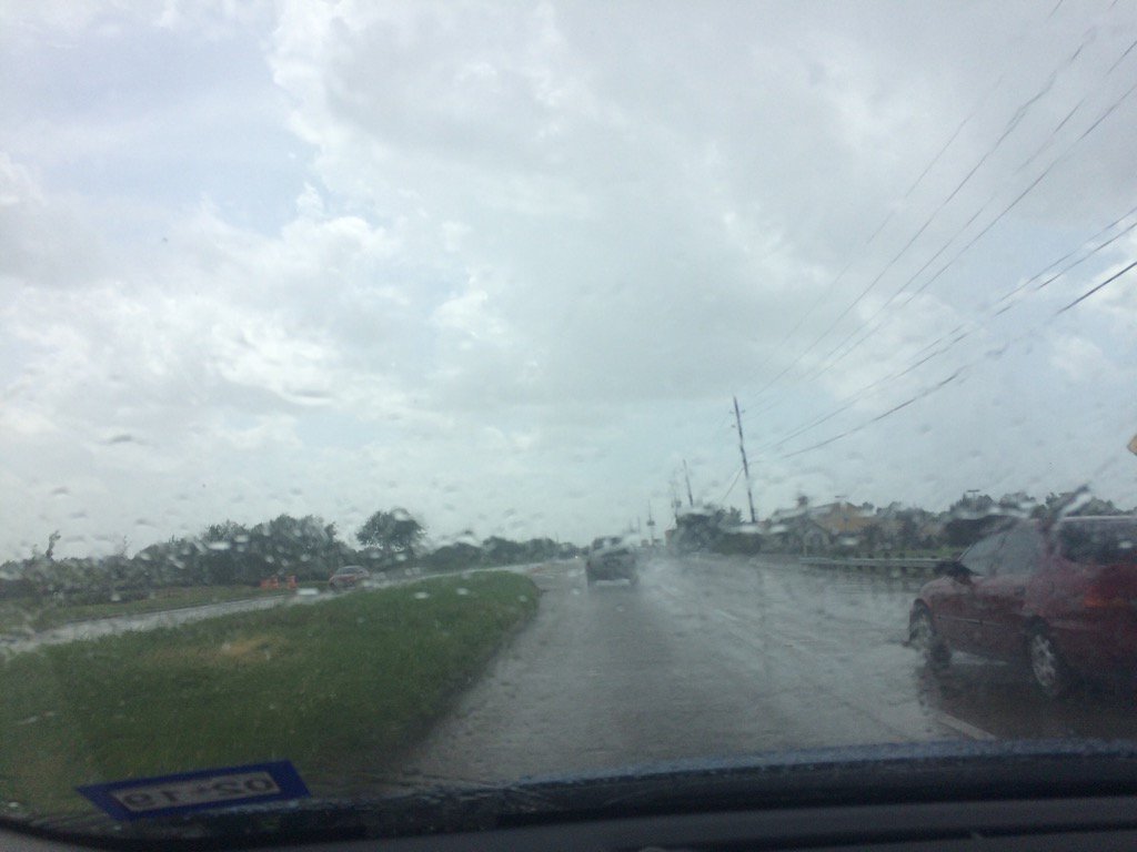
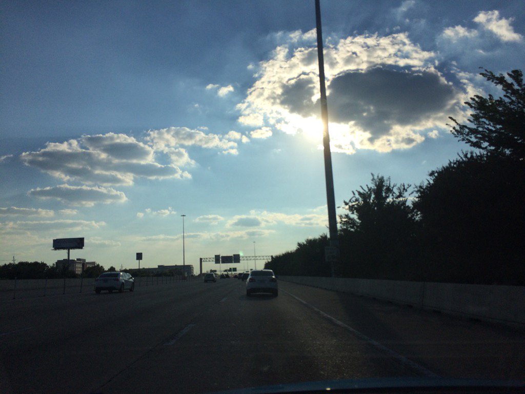
Katy, TX, during the late evening.
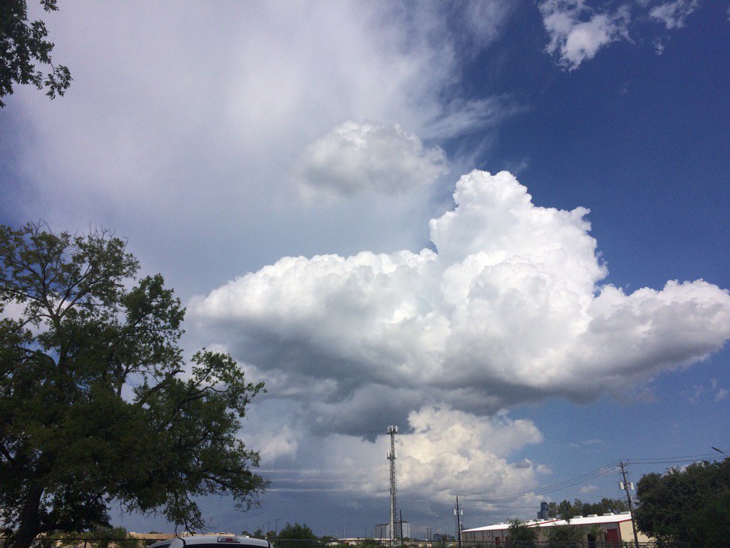
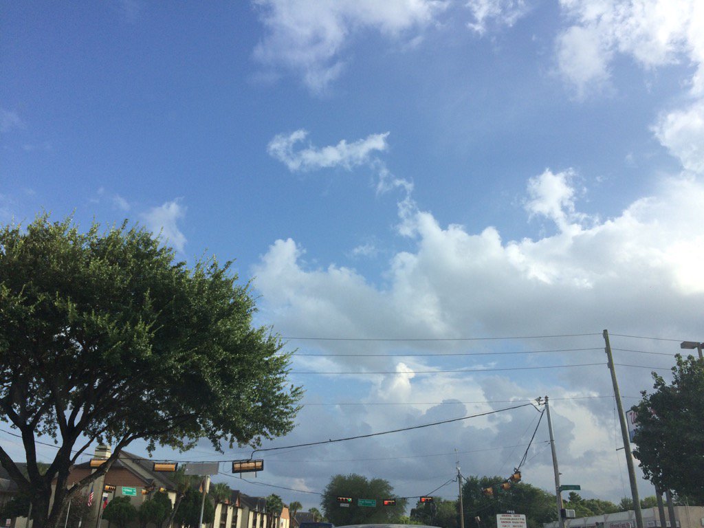
Cypress, TX, during the late evening.
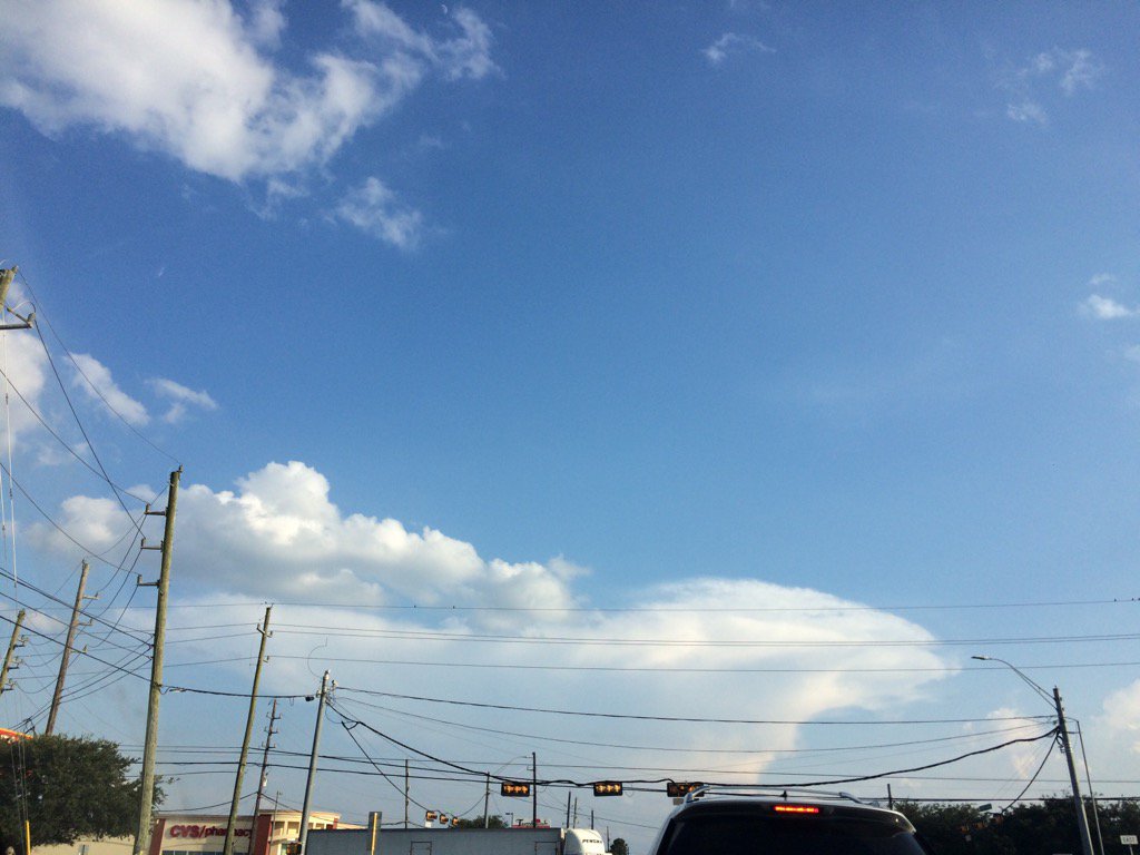
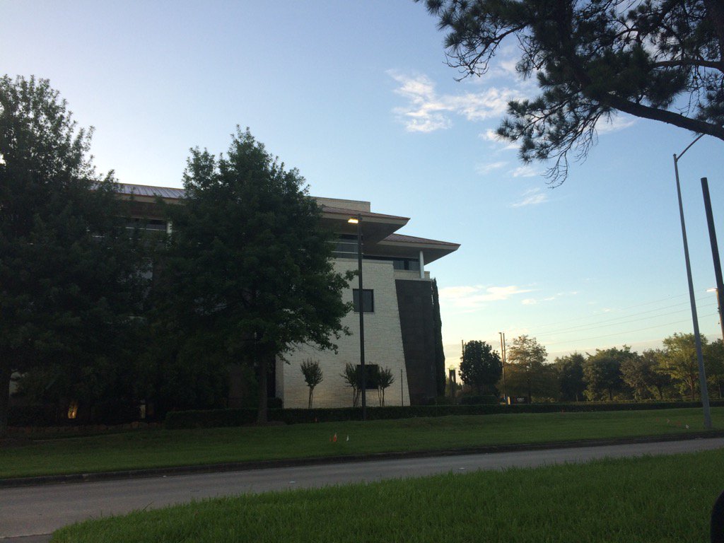
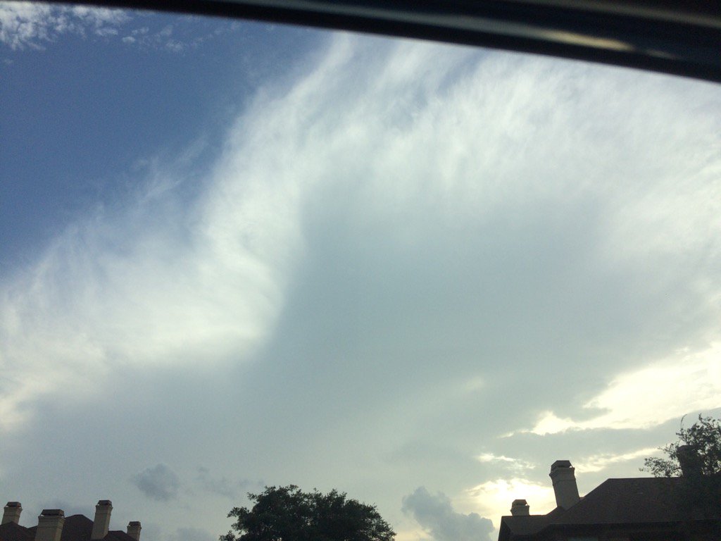
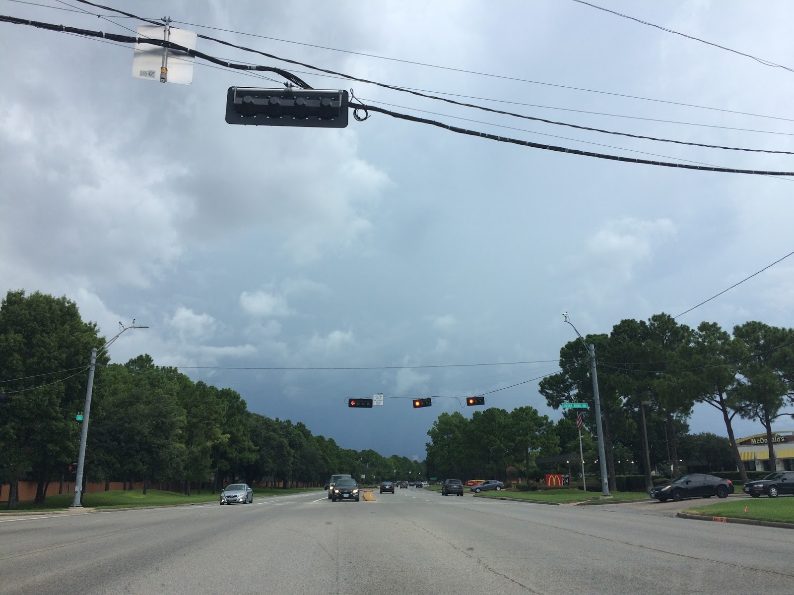
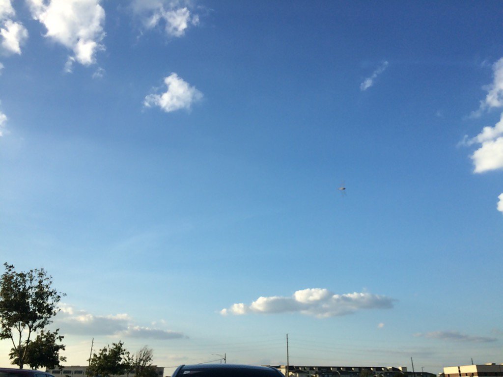
Northwest Houston, TX, during the late evening.
Summary: The day was very warm, sunny, and dry. No rain. There looked to be some possible isolated light showers in and around the Houston, TX area, during the morning, afternoon, evening, and night. I didn't see, feel, or hear any rain drops. Cirro stratus clouds looked to be scattered across the sky, during the early and mid-morning. Alto stratus with a few stratus and stratocumulus clouds looked to be scattered across the sky, during the late morning and early afternoon. Stratocumulus clouds looked to have started to be scattered across the sky, sometime during the mid, or maybe late afternoon, or maybe early evening. Stratocumulus clouds looked to be scattered across the sky, during the evening and maybe night. The wind speeds looked to be calm with gentle to moderate gusts and maybe some moderately strong gusts. It felt warm during the early and mid-morning, late evening, and night. It felt very warm, during the late morning and early evening. It felt hot, during the early afternoon. It felt very hot, during the mid and late afternoon. There was a Air Quality Alert issued for the Houston, TX area, for today and tomorrow. There were no other watches, warnings, alerts, advisories, or weather statements/outlooks issued for the Houston, TX area, that I know of. The low temps looked to be in the 70's with maybe some 80's and the high temps looked to be in the 90's with maybe some 80's, for the Houston, TX area.
Storm Summary: There were no reports of flooding, or storm damages, that I know of.
Locations: Northwest and west Houston, TX, Cypress, TX, and Katy, TX.
Thoughts: Well it is starting to feel like fall with all that dry air that Houston, TX felt this morning. It is going to start to feel more humid again as more moisture fills the air tomorrow and on through the rest of the week. So far Wednesday looks like the best chance for rain, for most of the Houston, TX area.
Area Forecast Discussion
Issued by NWS Houston/Galveston, TX
Issued by NWS Houston/Galveston, TX
Versions: 1 2 3 4 5 6 7 8 9 10 11 12 13 14 15 16 17 18 19 20 21 22 23 24 25 26 27 28 29 30 31 32 33 34 35 36 37 38 3940 41 42 43 44 45 46 47 48 49 50
888
FXUS64 KHGX 010155
AFDHGX

Area Forecast Discussion
National Weather Service Houston/Galveston TX
855 PM CDT Mon Jul 31 2017

.DISCUSSION...
The seabreeze moved inland of the I-10 corridor earlier this
evening. There have been a few isolated showers between 20 and 60
nm of Galveston through the first part of the evening. The Texas
Tech and HRRR both support at least isolated showers moving within
20 nm of the coast west of Freeport and tweaked the rain chances a
bit to account for this. Otherwise, the forecast is on track.

40

&&

.PREV DISCUSSION... /ISSUED 626 PM CDT Mon Jul 31 2017/

AVIATION.../00Z TAF/
Visible satellite and radar show sea breeze working inland but
not sure how far it will reach. Quite possible that winds at
KHOU/KIAH could turn more to the E or SE with its passing instead
of NE. Winds should decouple tonight and be calm for most
terminals. Oddly enough for the start of August, dewpoints may be
low enough that fog should not develop except for maybe CXO and
that is a small chance. Moisture should return tomorrow into
Wednesday. There might be a few showers tomorrow afternoon but
think best convective probabilities will be Wednesday through the
end of the week. Next chances for more widespread MVFR conditions
will be for the end of the week with any TSRA.

Overpeck

PREV DISCUSSION... /ISSUED 354 PM CDT Mon Jul 31 2017/

DISCUSSION...
Save for a few isolated showers across the offshore waters, most
of the region is dry (and feels noticeably cooler with 3 PM CDT
heat index values in the low to mid 90s) behind yesterday`s slow
moving front as drier air has settled into the region. This drier
air will be gradually replaced by returning Gulf moisture tonight
through Tuesday night as light offshore winds gradually become
onshore. As a result, isolated to scattered showers will remain
possible across the coastal waters tonight and Tuesday. Rain
chances for Southeast Texas Tuesday will be largely dependent on
how quickly this moisture pushes back inland, with coastal
counties having the main chances for rain Tuesday afternoon and
evening (20-40 PoPs... and even then 30-40s may be generous with
questions about the aforementioned moisture return given weak low
level flow). Otherwise, expect overnight lows in the 70s to low
80s to warm into the upper 80s to mid 90s by Tuesday afternoon.

Afternoon water vapor imagery shows a shortwave trough dropping
across South Dakota/Nebraska. This feature will continue to swing
into the Southern Plains on Tuesday, reaching Southeast Texas on
Wednesday and allowing northwest flow aloft to become established.
Coastal convergence will result in another round of coastal
showers and possibly a thunderstorm Tuesday night with diurnal
destabilization, lift from the shortwave, and ample Gulf moisture
(forecast precipitable water values 1.8-2 inches), allowing
scattered to numerous showers and thunderstorms to spread inland
on Wednesday. Given the amount of moisture present, cannot rule
out brief heavy rainfall but forecast storm motions around 20 MPH
and widespread rainfall deficits observed this month (areas west
and south of the Houston metro experiencing deficits roughly 1 to
3 inches below normal for July) should mitigate against any
flooding concerns outside of urbanized areas.

The remainder of the long term portion of the forecast will
follow a fairly similar pattern, with overnight marine convection
shifting inland with daytime heating. Enhanced coverage will be
possible as disturbances embedded in the flow aloft translate
across the region and, given the difficulty timing or pinpointing
these smaller waves this far out, have continued to advertise
scattered showers and thunderstorms (30-50 PoPs) through the end
of the week. With precipitable water values hovering near 2
inches, cannot rule out brief heavy rainfall with stronger
convection.

Another cold front looks to approach Texas this weekend as a
shortwave trough dives across the Great Lakes from Canada, but
with as quickly east as the wave moves have little confidence that
the front will push too far south into Texas. This would keep
deeper moisture in place across the region and allow for scattered
rain chances to continue through the upcoming weekend. Cloud
cover and rain should help keep temperatures near to slightly
below normal through the long term portion of the forecast, with
highs in the mid 80s to mid 90s and lows in the mid 70s to low
80s.

Huffman

MARINE...
Light to moderate NE winds are will begin veering through
tonight, become easterly by tomorrow, and continue on towards
becoming light and southeasterly by Wednesday. The second half of
the week will feature a number of weak upper disturbances that
will stretch chances for showers and thunderstorms across multiple
days. This may culminate in another summer cold front at the very
end of the week. At this time, the expectation for such a front
would be only to veer winds towards southwesterly for a time, but
a deeper push by the front could result in a more significant wind
change.

Luchs

&&

.PRELIMINARY POINT TEMPS/POPS...
College Station (CLL)      74  95  75  91  74 /   0  10  20  40  30
Houston (IAH)              76  93  77  89  76 /   0  20  20  60  40
Galveston (GLS)            81  88  80  87  80 /  20  40  30  50  50

&&

.HGX WATCHES/WARNINGS/ADVISORIES...
TX...NONE.
GM...NONE.
&&

$$

Discussion...40
Aviation/Marine...39
Air Quality Alert
TXZ213-237-238-020000-

AIR QUALITY ALERT MESSAGE
TEXAS COMMISSION ON ENVIRONMENTAL QUALITY
RELAYED BY NATIONAL WEATHER SERVICE HOUSTON/GALVESTON TX
145 PM CDT Mon Jul 31 2017

 ...OZONE ACTION DAY FOR TUESDAY...

THE TEXAS COMMISSION ON ENVIRONMENTAL QUALITY (TCEQ)...HAS ISSUED AN
OZONE ACTION DAY FOR THE HOUSTON...GALVESTON...AND BRAZORIA AREAS FOR
TUESDAY...AUGUST 1ST.

ATMOSPHERIC CONDITIONS ARE EXPECTED TO BE FAVORABLE FOR PRODUCING
HIGH LEVELS OF OZONE POLLUTION IN THE HOUSTON...GALVESTON AND
SURROUNDING AREAS ON TUESDAY. YOU CAN HELP PREVENT OZONE POLLUTION BY
SHARING A RIDE...WALKING...RIDING A BICYCLE...TAKING YOUR LUNCH TO
WORK...AVOIDING DRIVE THROUGH LANES...CONSERVING ENERGY AND KEEPING YOUR
VEHICLE PROPERLY TUNED.

FOR MORE INFORMATION ON OZONE:

OZONE: THE FACTS (WWW.TCEQ.TEXAS.GOV/AIRQUALITY/MONOPS/OZONEFACTS.HTML)
EPA AIR NOW:
(WWW.AIRNOW.GOV/INDEX.CFM?ACTION=AIRNOW.LOCAL_CITY&CITYID=236)
TAKE CARE OF TEXAS: (WWW.TAKECAREOFTEXAS.ORG/AIR/AIRQUALITY)

$$