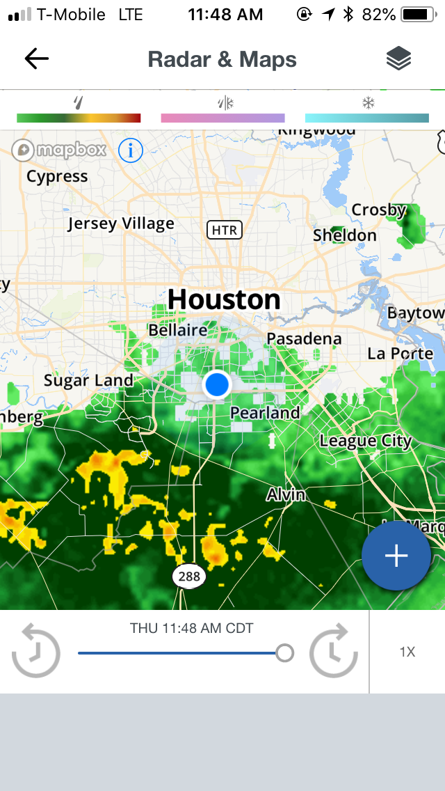
Houston, TX radar, during the late morning.

Houston, TX radar, during the early afternoon.

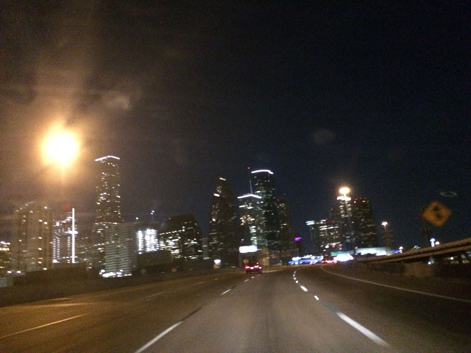
West Houston, TX, during the late afternoon, on my way to where I live in northwest Houston, TX, after dropping my little sister off at a hair cutting place, to get her hair cut with my mom, who was also at the hair cutting place.
Area Forecast Discussion
Issued by NWS Houston/Galveston, TX
Versions: 1 2 3 4 5 6 7 8 9 10 11 12 13 14 15 16 17 18 19 20 21 22 23 24 25 26 27 28 29 30 31 32 33 34 35 36 37 38 3940 41 42 43 44 45 46 47 48 49 50
000
FXUS64 KHGX 230316
AFDHGX

Area Forecast Discussion
National Weather Service Houston/Galveston TX
1016 PM CDT Fri Jun 22 2018

.DISCUSSION...
Made just a few minor changes to grids...mainly going with a more
optimistic sky cover grid as sky fairly clear at the moment.
Should be clear most of the night with a lower deck forming
overnight. Should be precip free rest of the night and Saturday as
well. Did get at or above 108 degrees F for several sites in and
around metro houston late this afternoon for a few hours...and
will have to carefully evaluate heat indices for tomorrow to see
if a heat advisory may be needed. At the moment forecast is too
stay just below. In either case...whether we meet or stay just
below criteria...the main weather feature for the next several
days will be the heat and humidity.

18

&&

.PREV DISCUSSION... /ISSUED 617 PM CDT Fri Jun 22 2018/

DISCUSSION...

00Z Aviation...Expect to see areas of MVFR ceilings form late
tonight/early tomorrow. Surface winds will be a little higher
tonight compared to last night, so do not expect much
fog to form. Expect a breezy day tomorrow with southerly winds
increasing in the morning to around 15 knots and gusty. 33

&&

.PRELIMINARY POINT TEMPS/POPS...
College Station (CLL)      76  95  76  94  76 /   0   0  10  20   0
Houston (IAH)              78  93  78  93  78 /  10  10  10  20  10
Galveston (GLS)            82  86  82  88  82 /  10  10  10  20  10

&&

.HGX WATCHES/WARNINGS/ADVISORIES...
TX...NONE.
GM...NONE.
&&

$$

Discussion...99
Hazardous Weather Outlook
Hazardous Weather Outlook
National Weather Service Houston/Galveston TX
346 AM CDT Fri Jun 22 2018

TXZ163-164-176>179-195>200-210>214-226-227-235>238-300-313-
335>338-436>438-230900-
Austin-Brazoria Islands-Brazos-Burleson-Chambers-Coastal Brazoria-
Coastal Galveston-Coastal Harris-Coastal Jackson-
Coastal Matagorda-Colorado-Fort Bend-
Galveston Island and Bolivar Peninsula-Grimes-Houston-
Inland Brazoria-Inland Galveston-Inland Harris-Inland Jackson-
Inland Matagorda-Madison-Matagorda Islands-Montgomery-
Northern Liberty-Polk-San Jacinto-Southern Liberty-Trinity-Walker-
Waller-Washington-Wharton-
346 AM CDT Fri Jun 22 2018

This hazardous weather outlook is for portions of Southeast Texas..

.DAY ONE...Today and Tonight

Heat will return to the region today. High temperatures will warm
into the middle 90s today but factoring in the humidity will make
it feel like it is between 103 and 107 degrees. Please exercise
caution if outdoors today.

.DAYS TWO THROUGH SEVEN...Saturday through Thursday

Heat index values may peak in the 102 to 108 degree range on
Saturday.

.SPOTTER INFORMATION STATEMENT...

Spotter activation will not be needed.

$$
Locations: Northwest and west Houston, TX.
Thoughts: The day was mostly sunny, dry, and hot. No rain that I know of in any of the locations within the Houston, TX area, during anytime of the day. A nice break for Houston that had gotten a lot of rain recently.