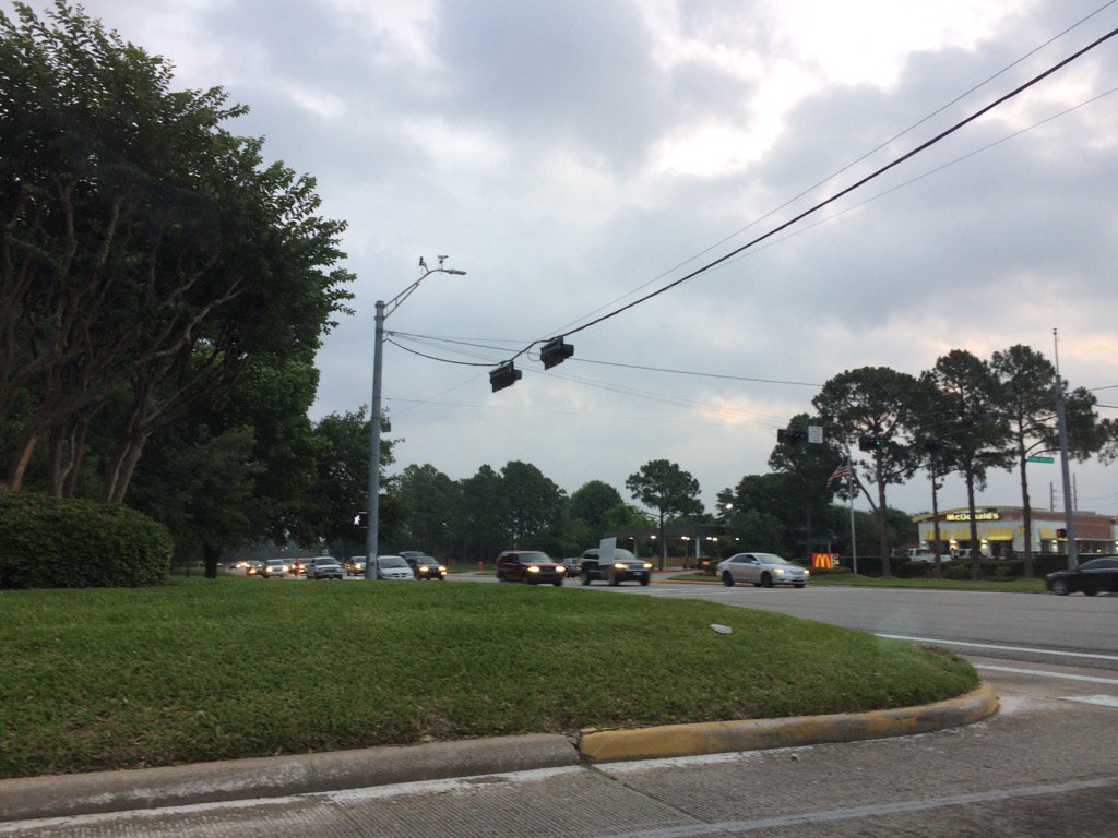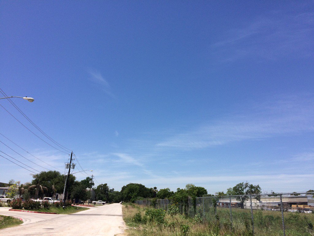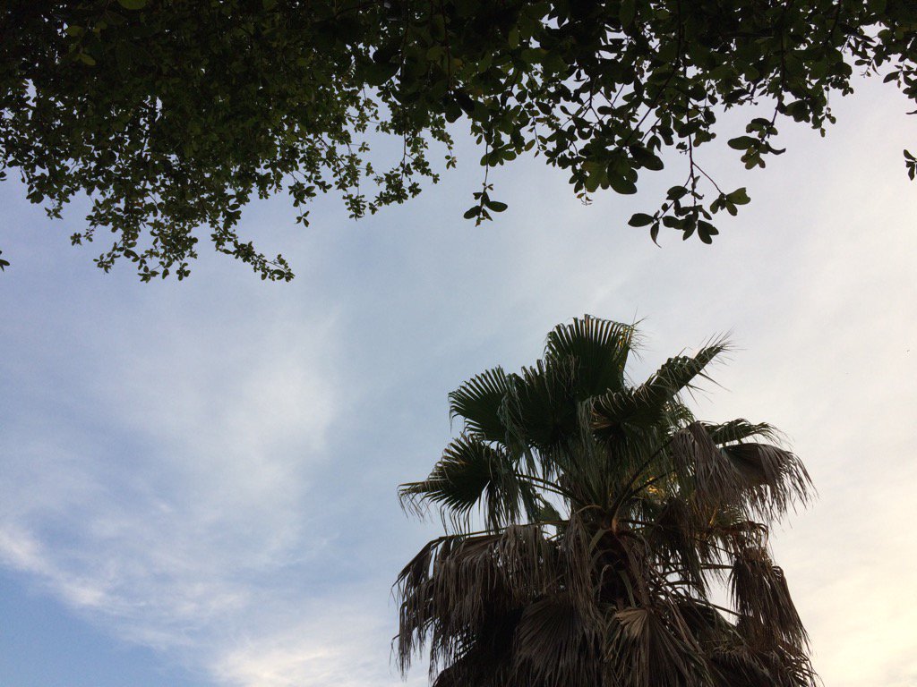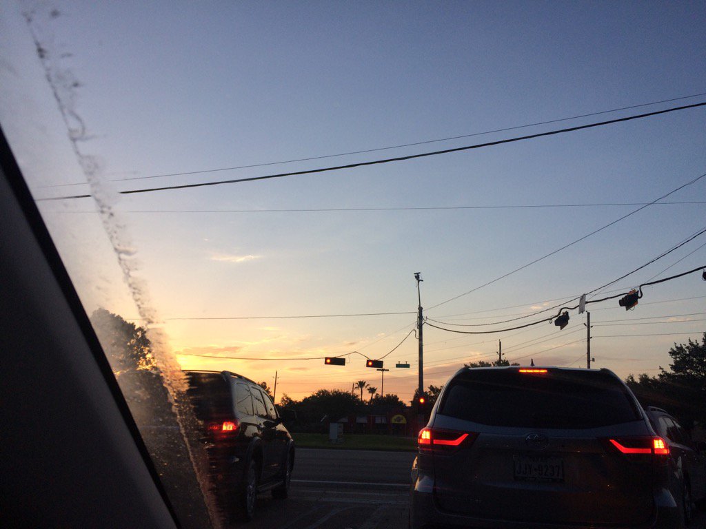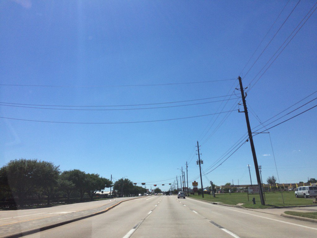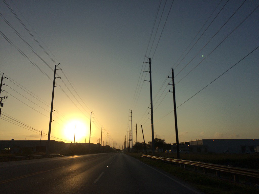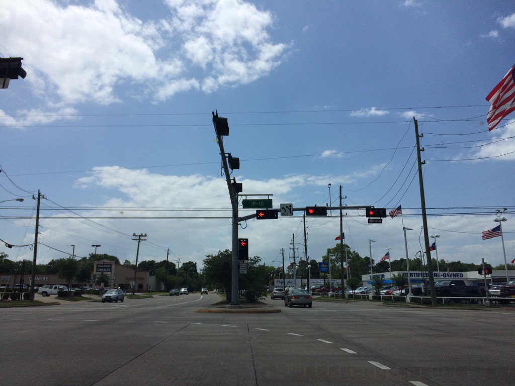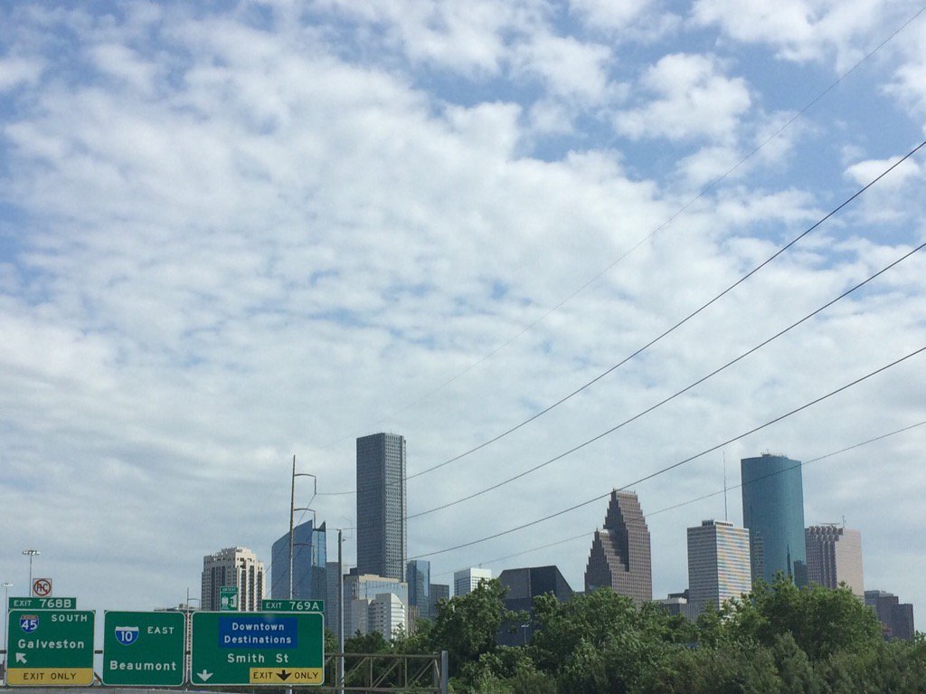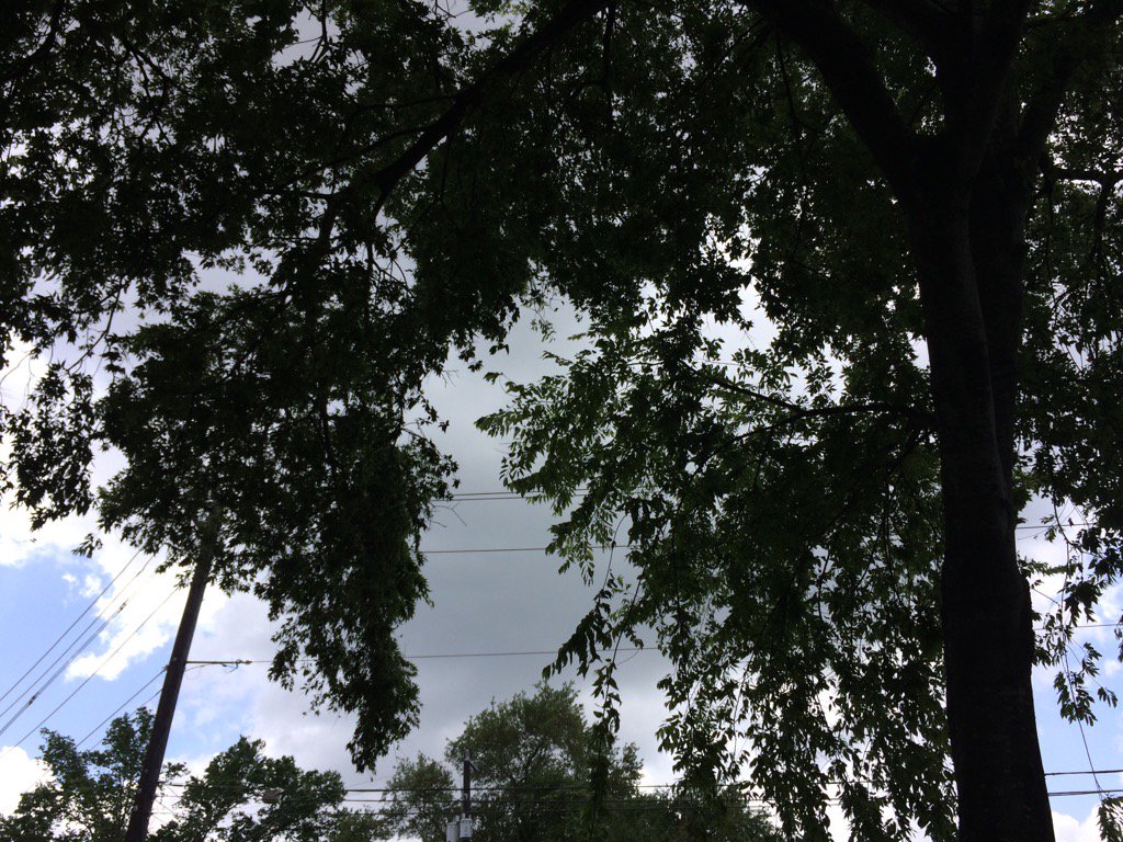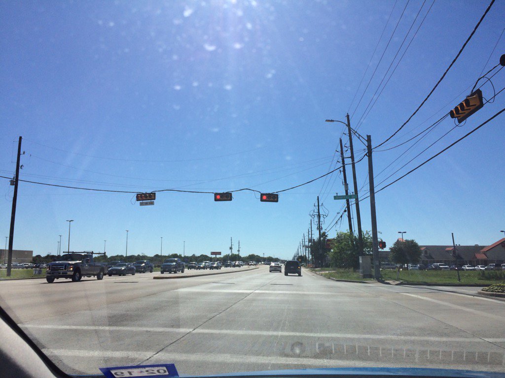
Northwest Houston, TX, during the late afternoon.
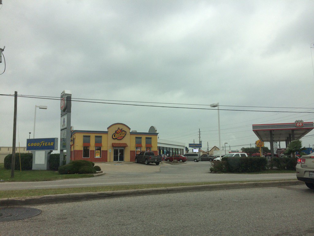
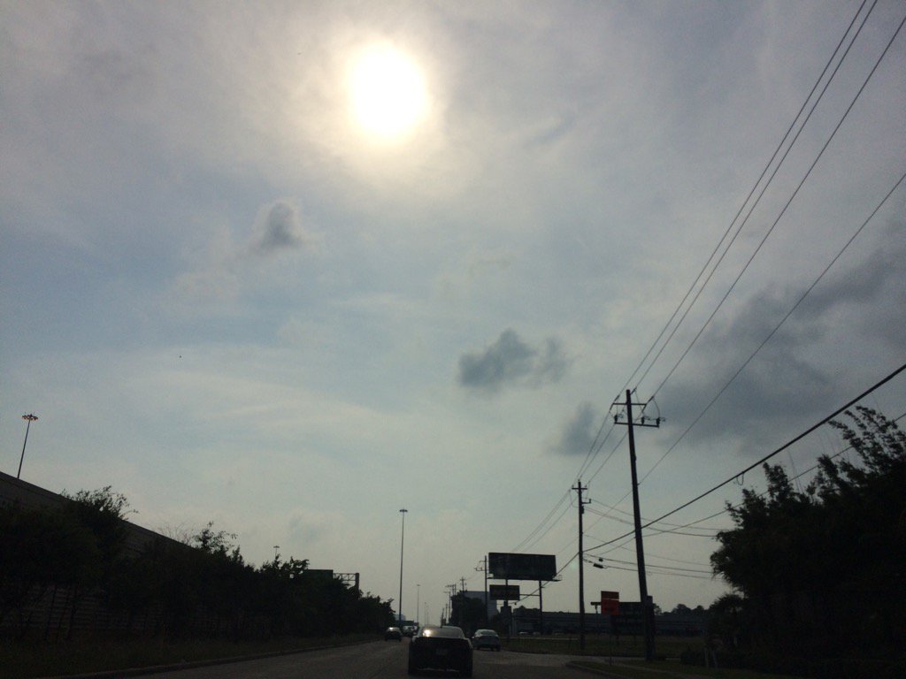
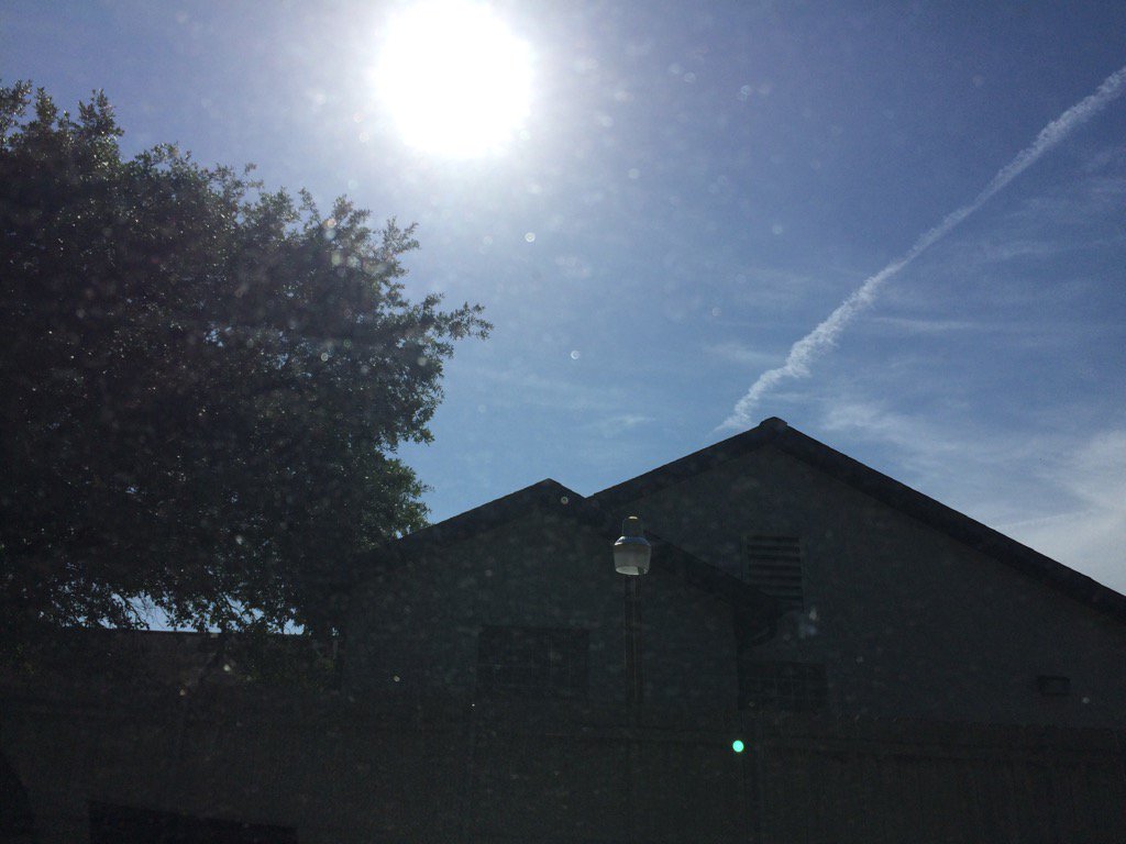
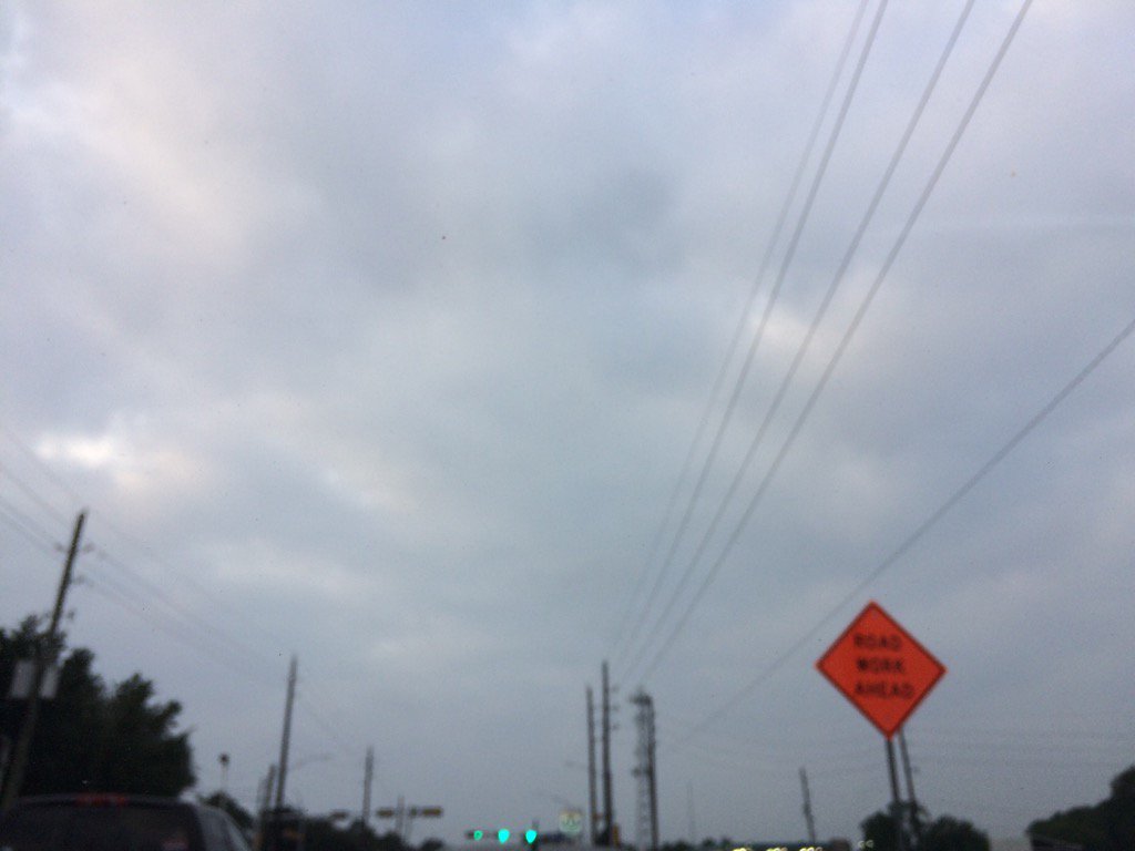
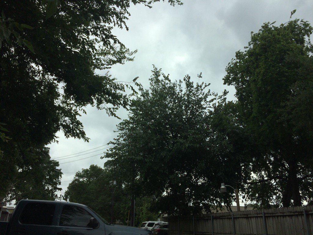
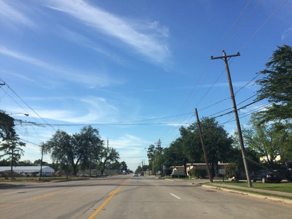
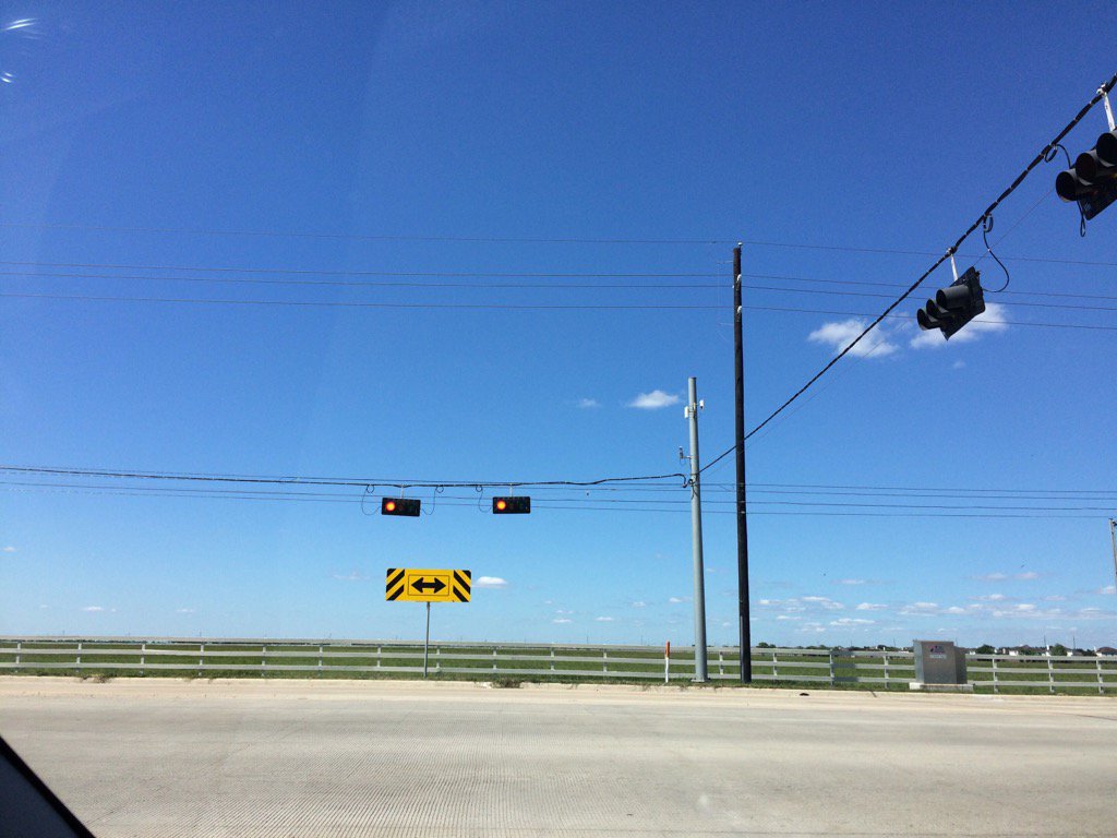
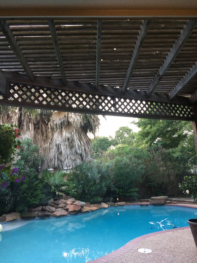
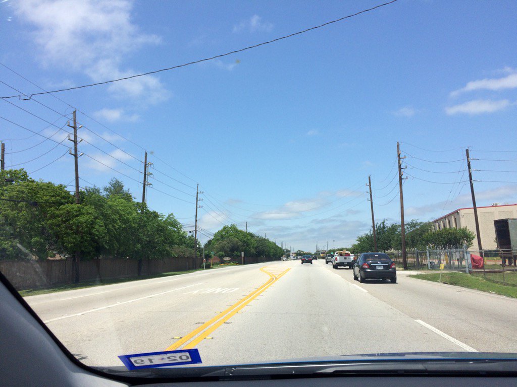
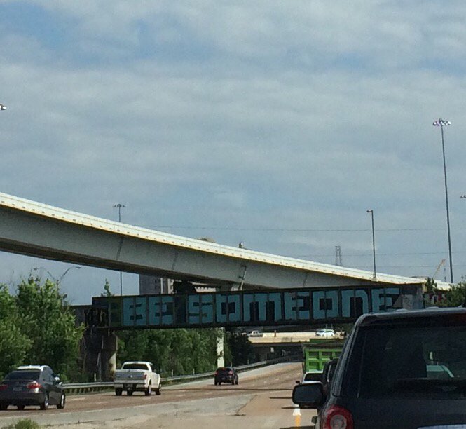
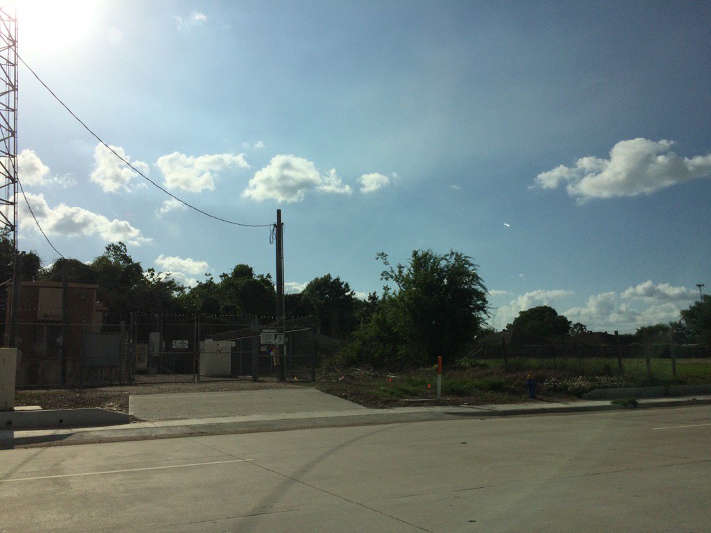
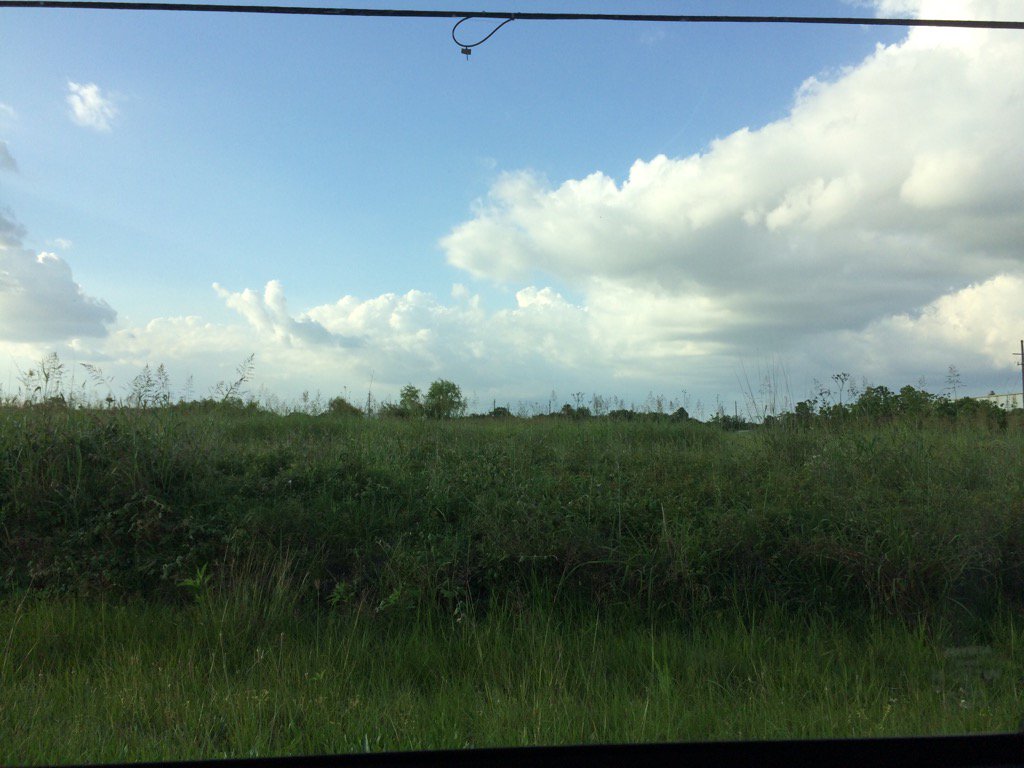
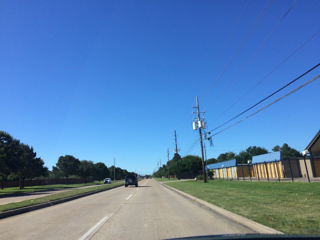
Cypress, TX, during the late afternoon.
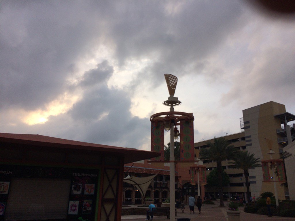
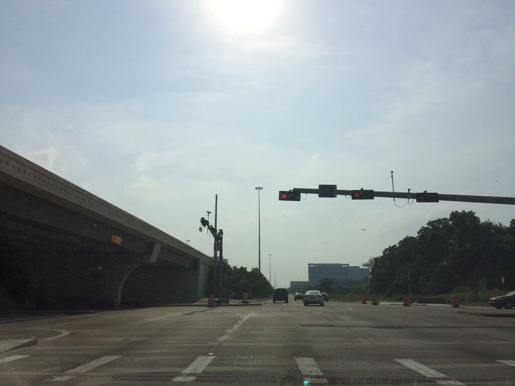
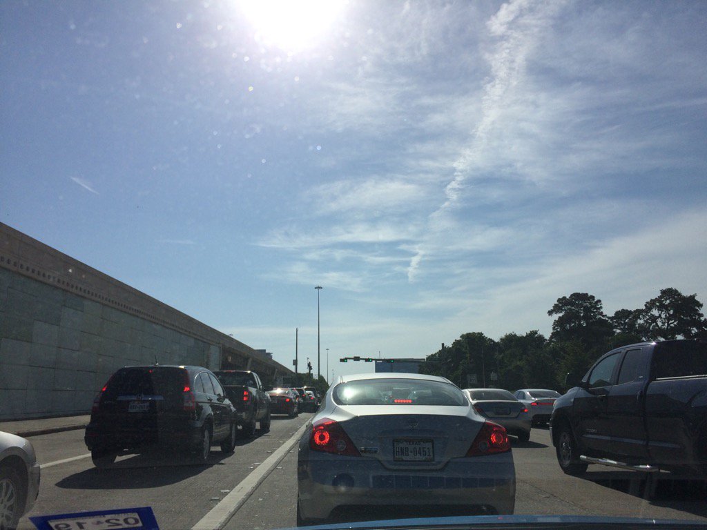
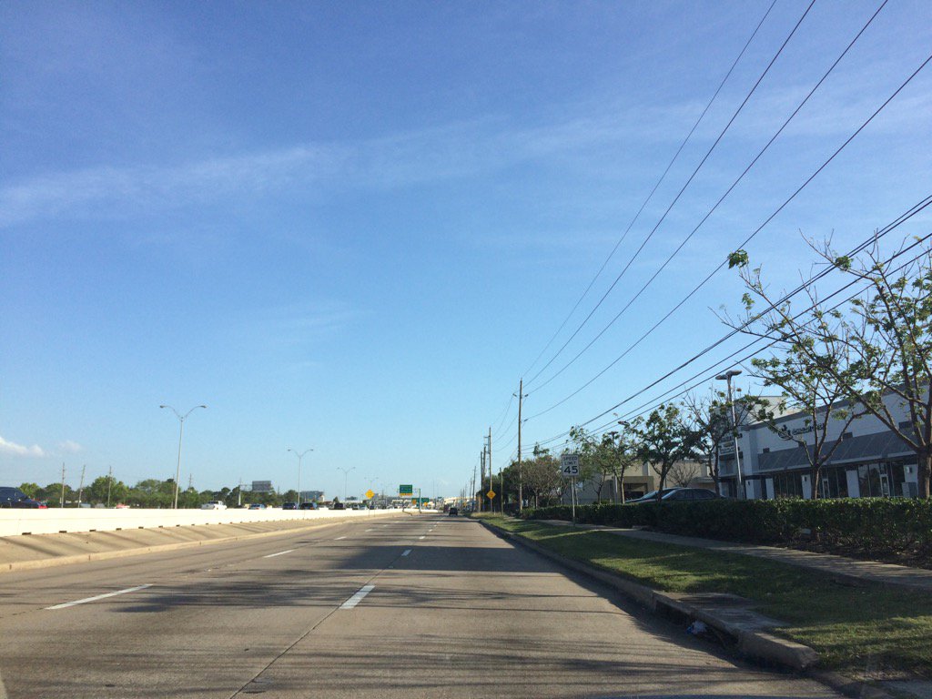
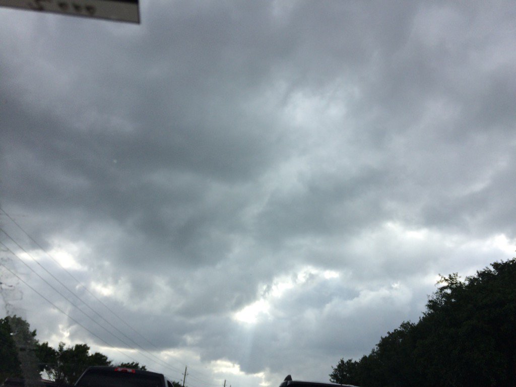
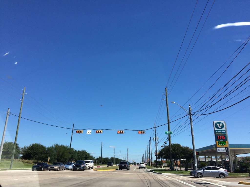
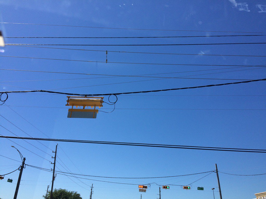
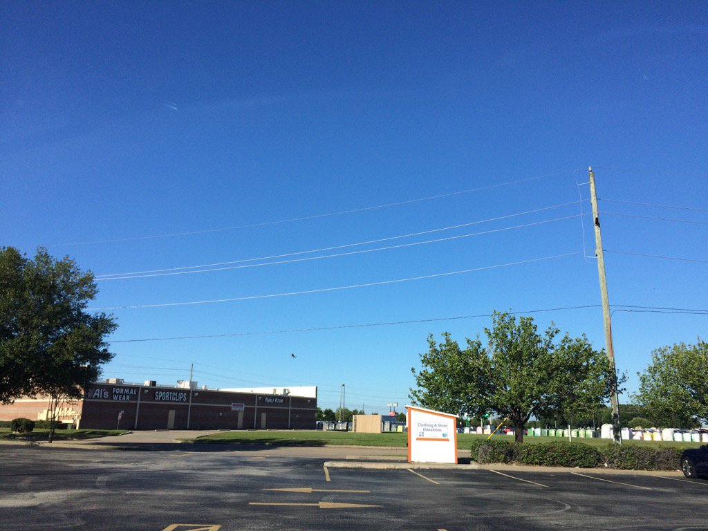
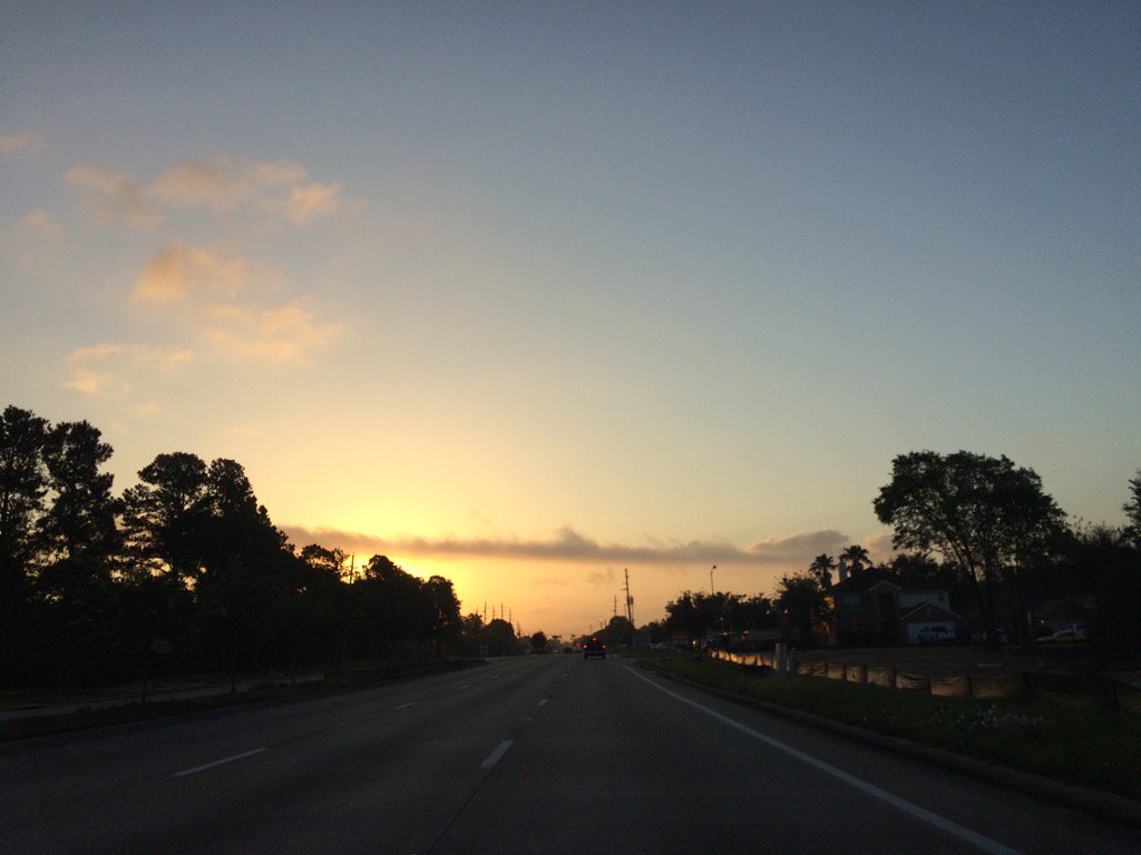
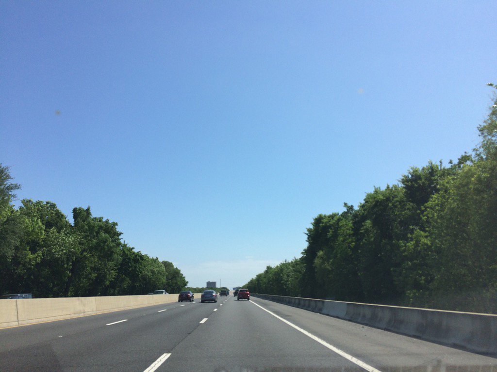
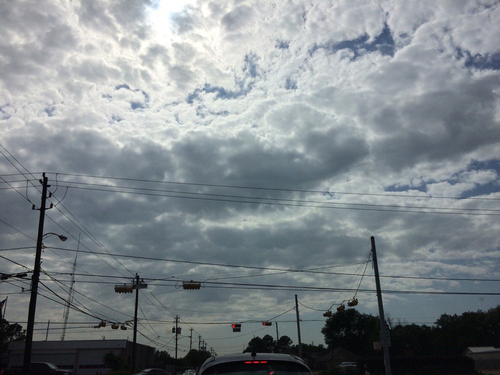
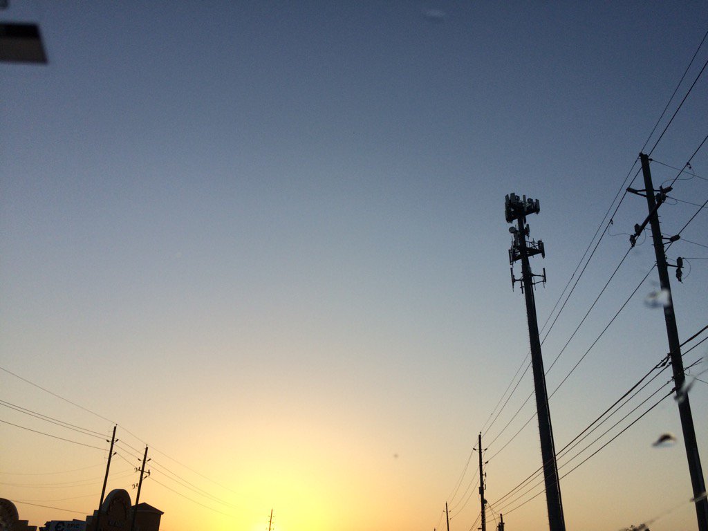
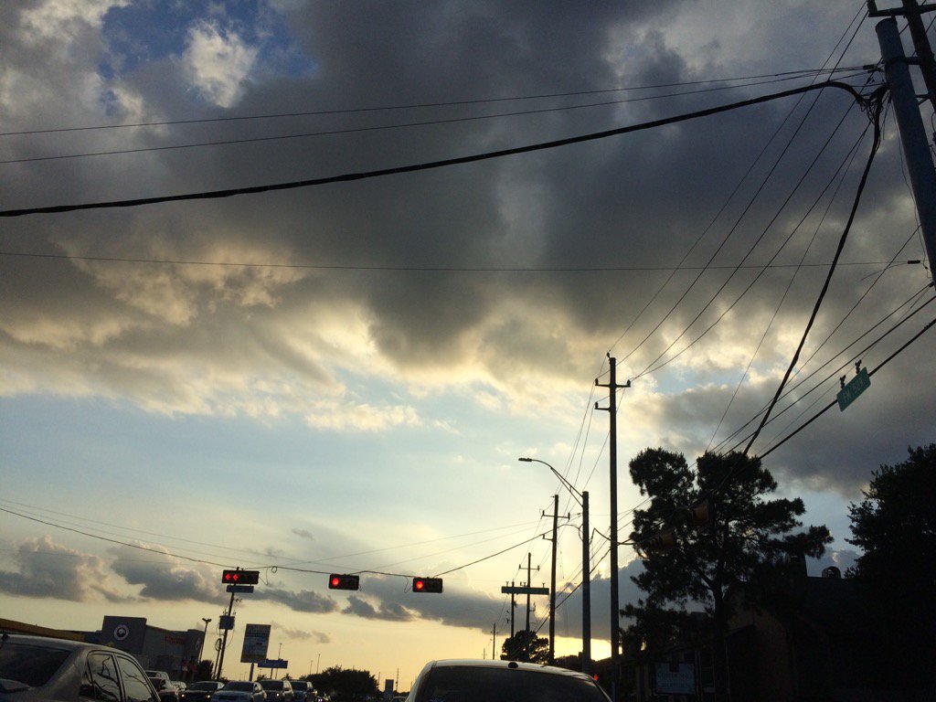
In Cypress, TX, i'm pretty sure, during the early evening.
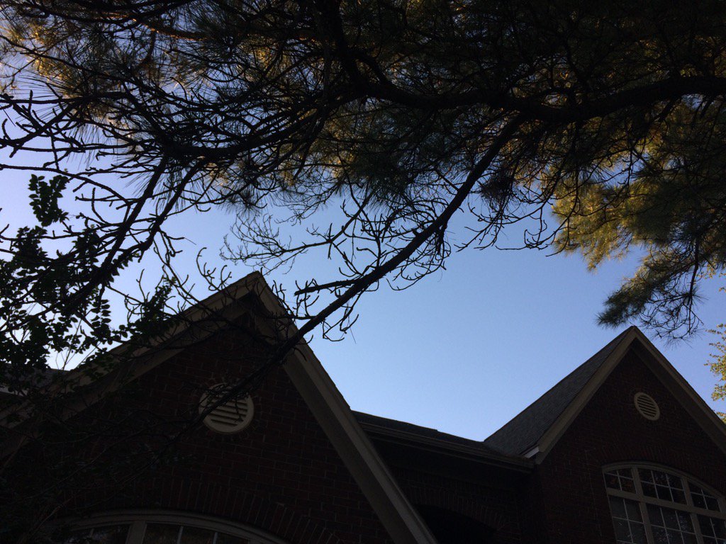
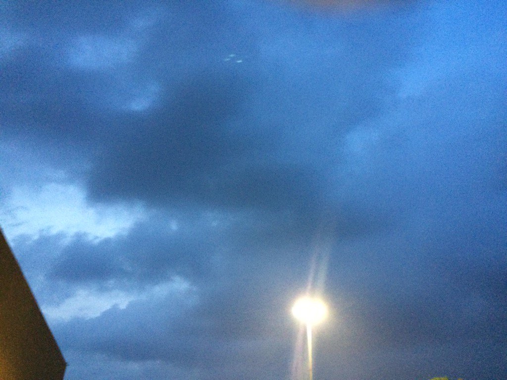
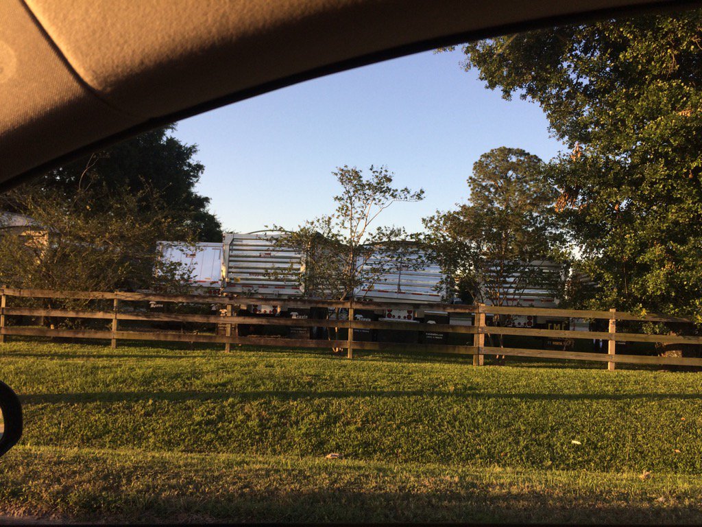
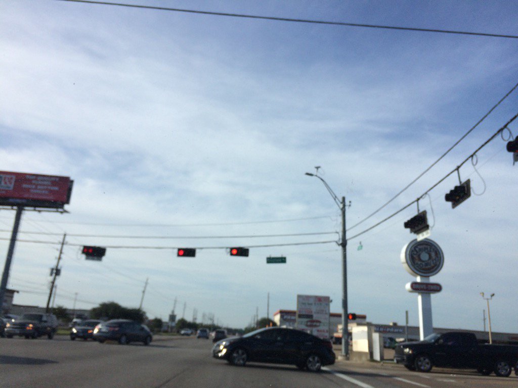
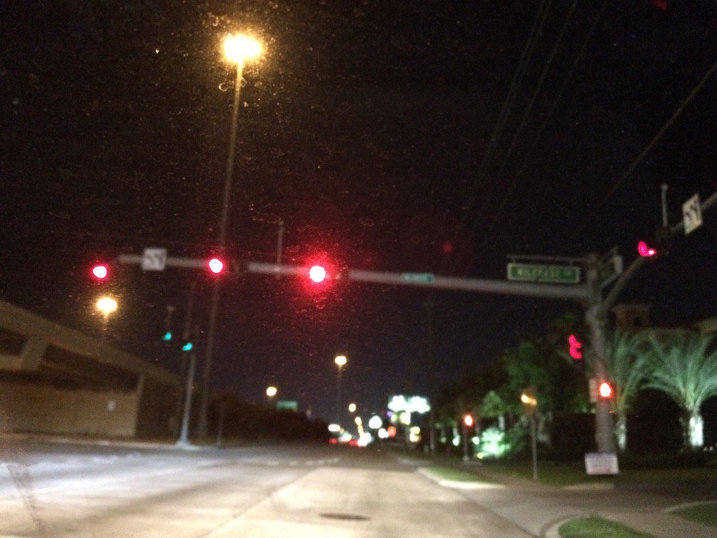
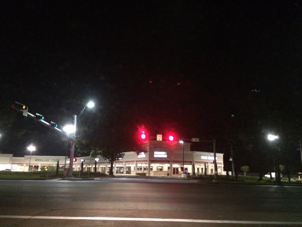
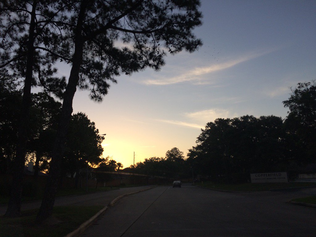
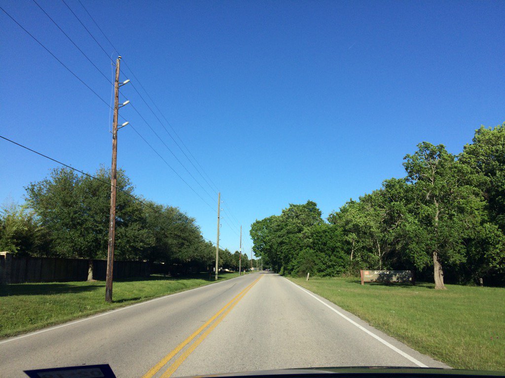
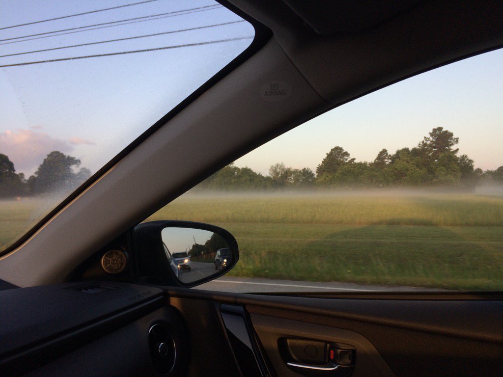
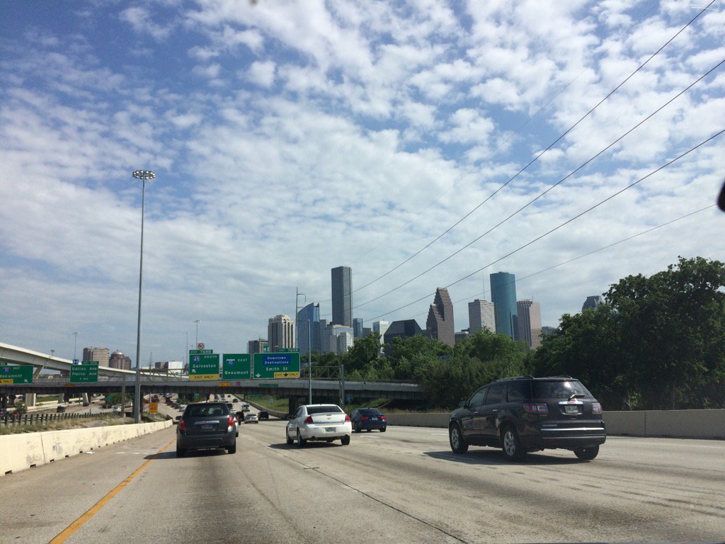
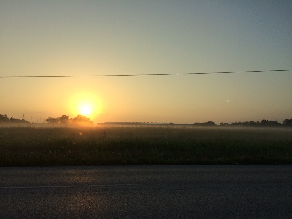
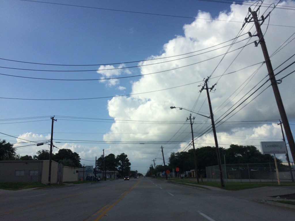
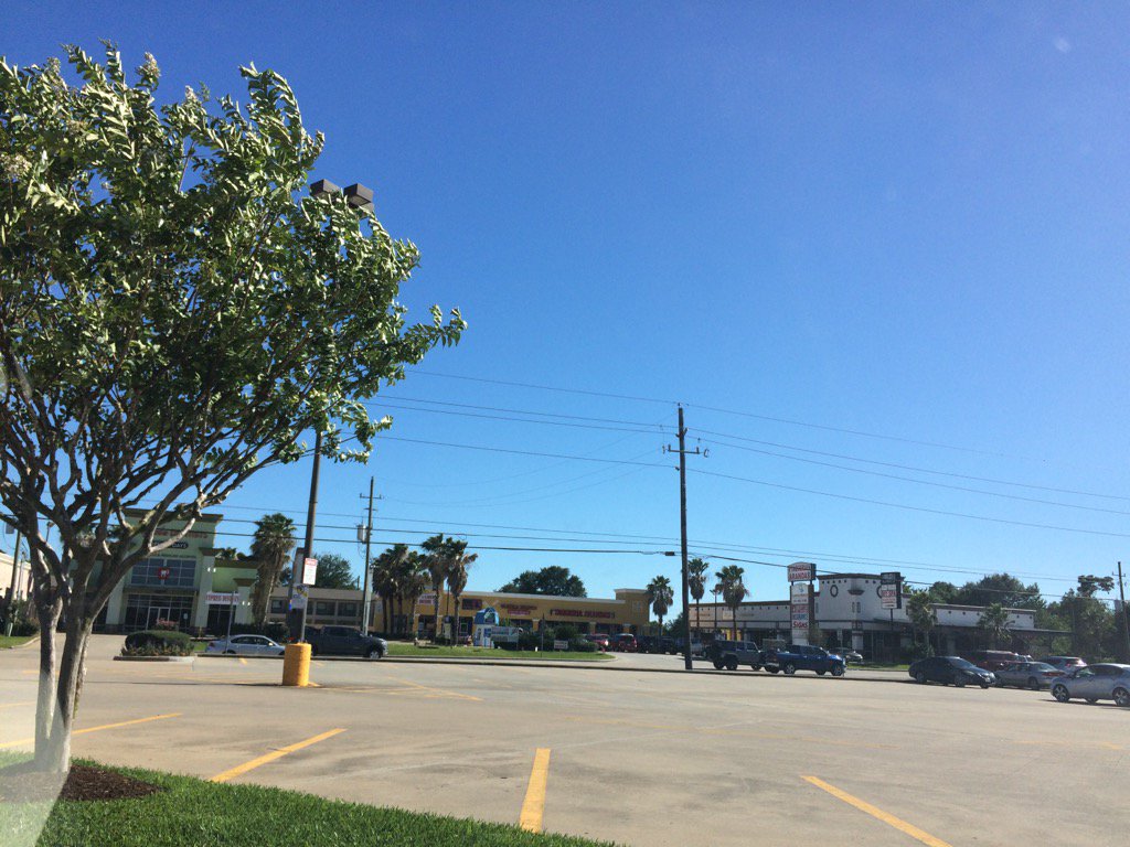
Northwest Houston, TX, during the late evening.
Summary: The day was mostly sunny, a little cool, and mostly dry. A line of light to heavy showers and thunderstorms with some scattered showers and thunderstorms passed through Houston, TX, during the early and mid-morning. The sky started out cloudy during the early morning, but then became completely clear, sometime during the mid, or maybe late morning. The sky remained clear through the night. The wind speeds were mostly calm with moderate gusts and some moderately strong gusts. There looked to be some really strong gusts during the early, mid, and maybe late morning. The wind speeds looked to have become mostly calm with moderate to moderately strong gusts, sometime during the afternoon. There was a air quality alert issued for the next day. There were no other watches, warnings, advisories, alerts, or weather statements issued for the Houston, TX area, that I know of. There was no flooding, or damages reported from the showers and thunderstorms that passed through the Houston, TX area, during the morning. The low temps looked to be in the mid to high 50's and the high temps looked to be in the high 70's with maybe some low 80's, for the Houston, TX area. I didn't see any of the rain, but was told by my dad that our house in northwest Houston, TX got some brief heavy rain. He didn't say anything about thunder, or lightning. It felt cool during the morning. It felt warm/ a little cool during the afternoon, evening, and night.
Locations: Northwest and west Houston, TX, Cypress, TX
Thoughts: I would have liked to see some more rain, but I enjoyed the cool temps and sunshine!
Air Quality Alert
TXZ213-237-238-020000-

AIR QUALITY ALERT MESSAGE
TEXAS COMMISSION ON ENVIRONMENTAL QUALITY
RELAYED BY NATIONAL WEATHER SERVICE HOUSTON/GALVESTON TX
138 PM CDT Sun Apr 30 2017

OZONE ACTION DAY FOR MONDAY

THE TEXAS COMMISSION ON ENVIRONMENTAL QUALITY (TCEQ)...HAS ISSUED AN
OZONE ACTION DAY FOR THE HOUSTON...GALVESTON...AND BRAZORIA AREAS FOR
MONDAY...MAY 1ST 2017.

ATMOSPHERIC CONDITIONS ARE EXPECTED TO BE FAVORABLE FOR PRODUCING
HIGH LEVELS OF OZONE POLLUTION IN THE HOUSTON...GALVESTON AND
SURROUNDING AREAS ON MONDAY. YOU CAN HELP PREVENT OZONE POLLUTION BY
SHARING A RIDE...WALKING...RIDING A BICYCLE...TAKING YOUR LUNCH TO
WORK...AVOIDING DRIVE THROUGH LANES...CONSERVING ENERGY AND KEEPING YOUR
VEHICLE PROPERLY TUNED.

FOR MORE INFORMATION ON OZONE:

OZONE: THE FACTS (WWW.TCEQ.TEXAS.GOV/AIRQUALITY/MONOPS/OZONEFACTS.HTML)
EPA AIR NOW:
(WWW.AIRNOW.GOV/INDEX.CFM?ACTION=AIRNOW.LOCAL_CITY&CITYID=236)
TAKE CARE OF TEXAS: (WWW.TAKECAREOFTEXAS.ORG/AIR/AIRQUALITY)

$$