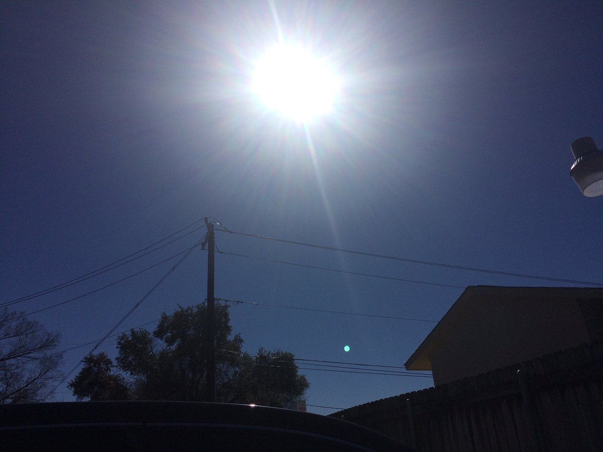
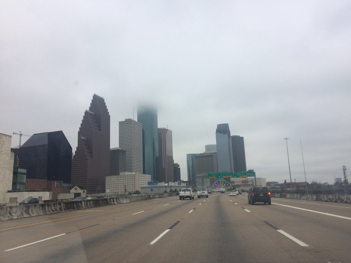
Houston, TX radar, during the early afternoon.
Houston, TX radar, during the mid-afternoon.
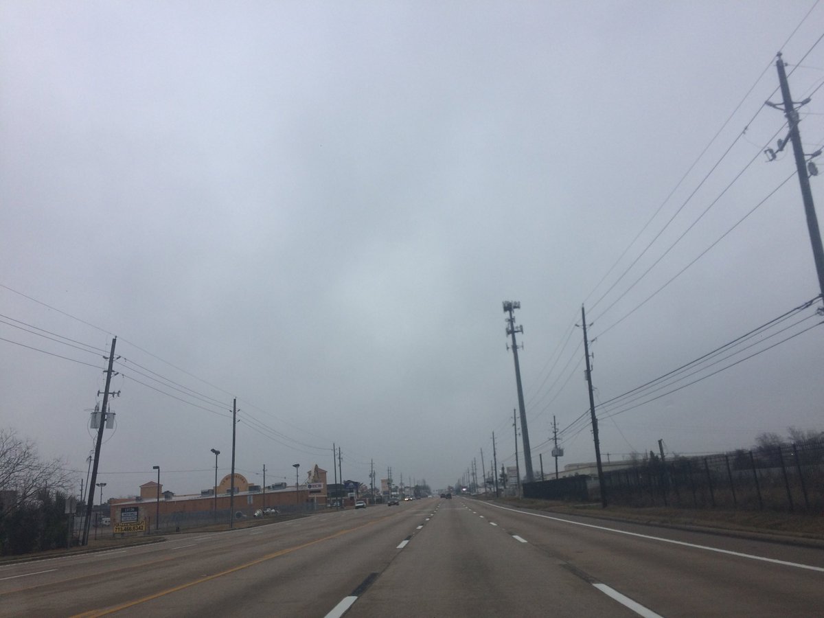
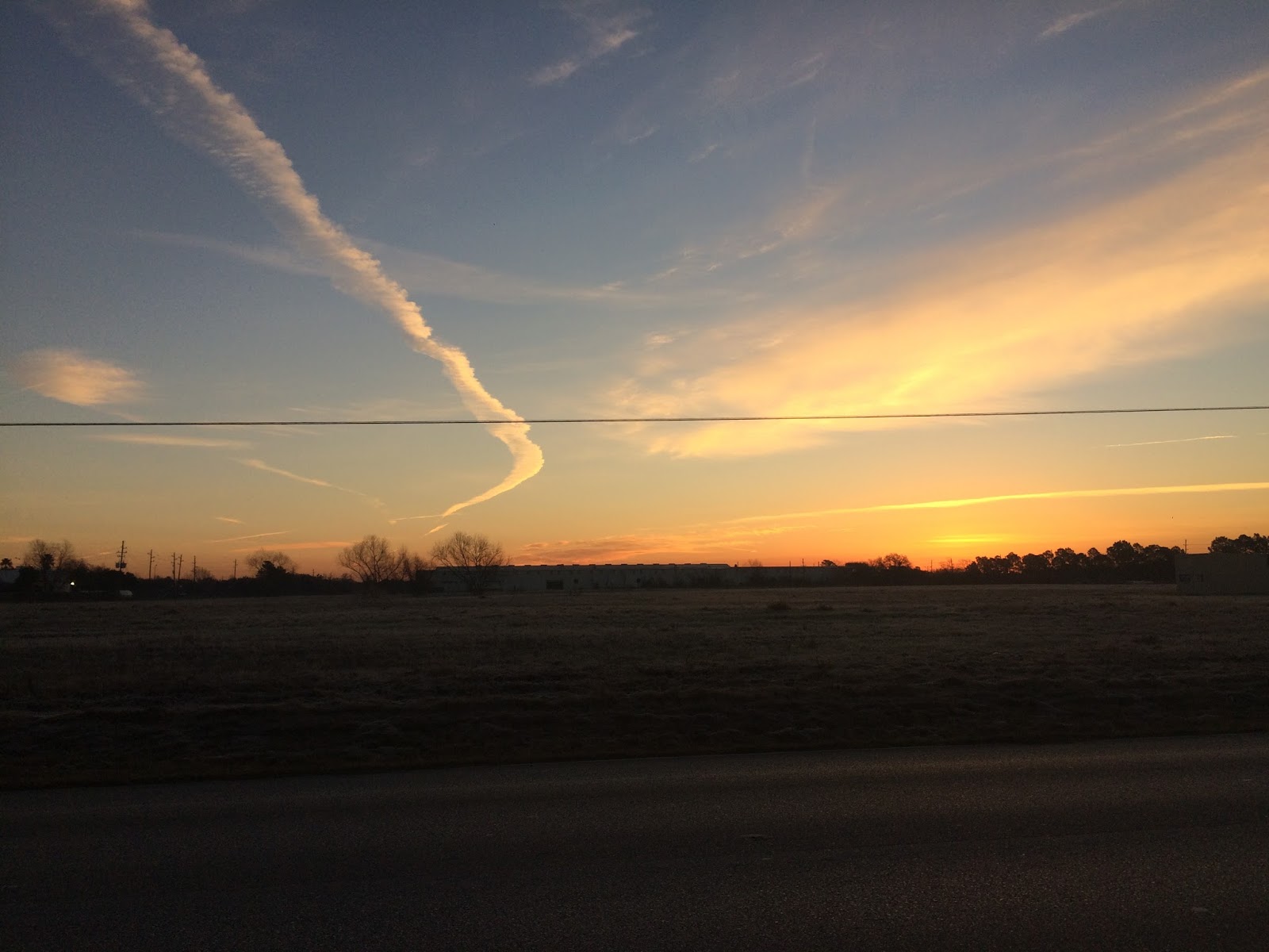
Houston, TX radar, during the late afternoon.
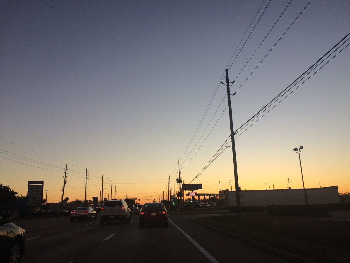
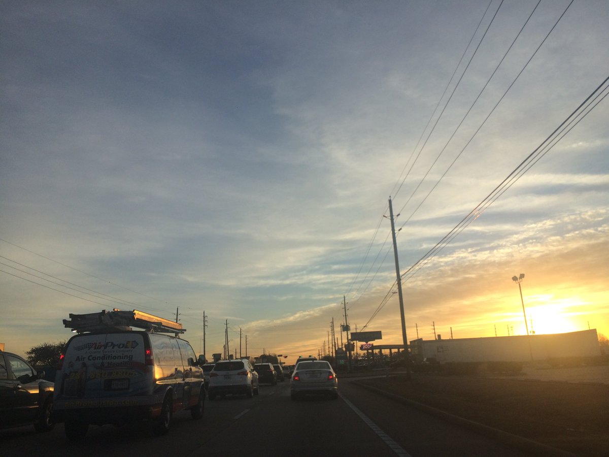
Houston, TX radar, during the early evening.
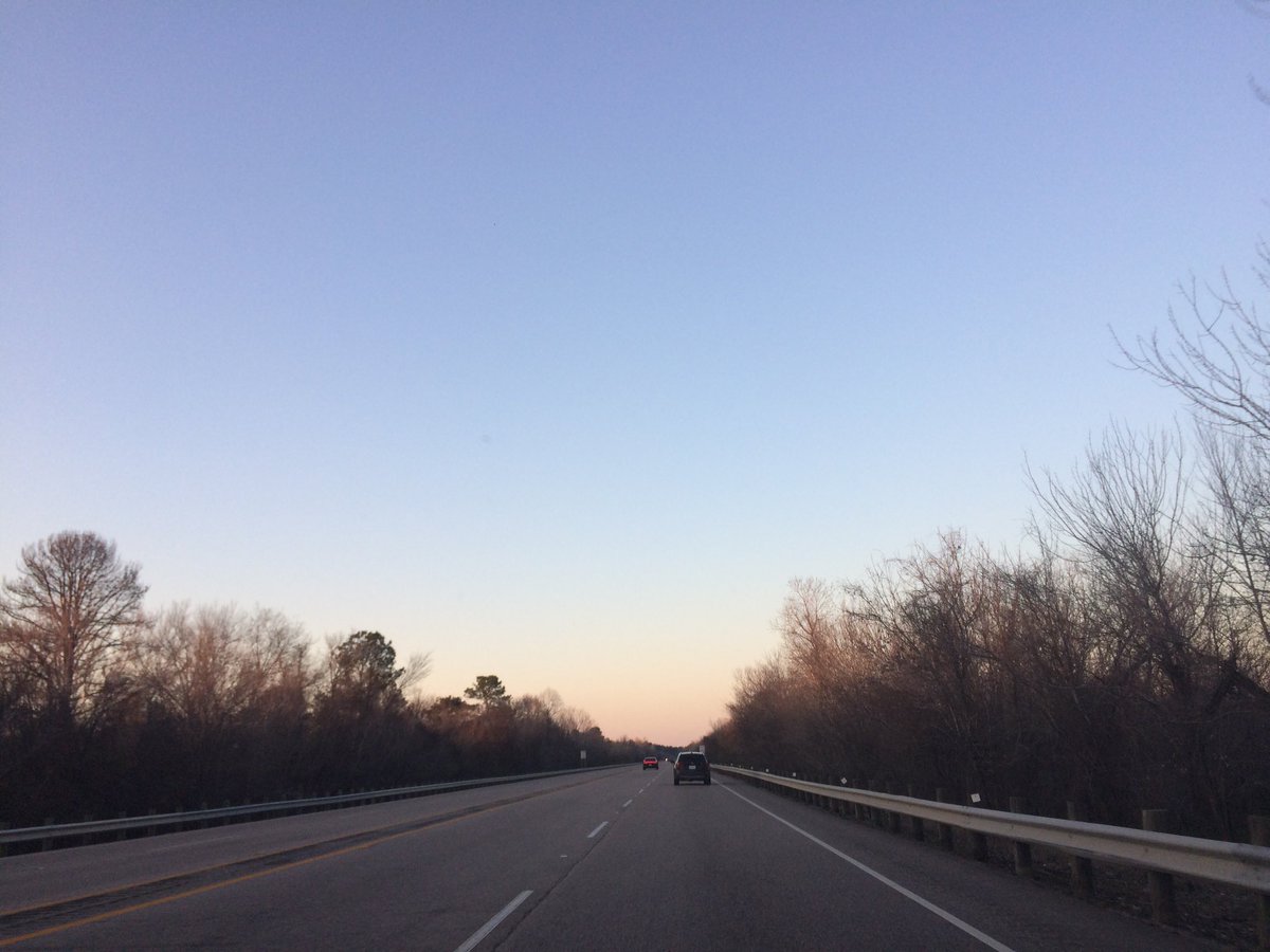
Northwest Houston, TX, during the early evening.
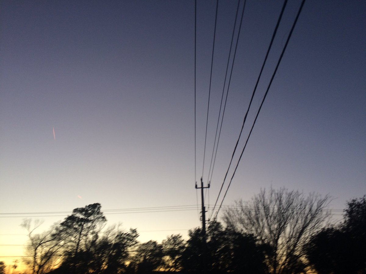
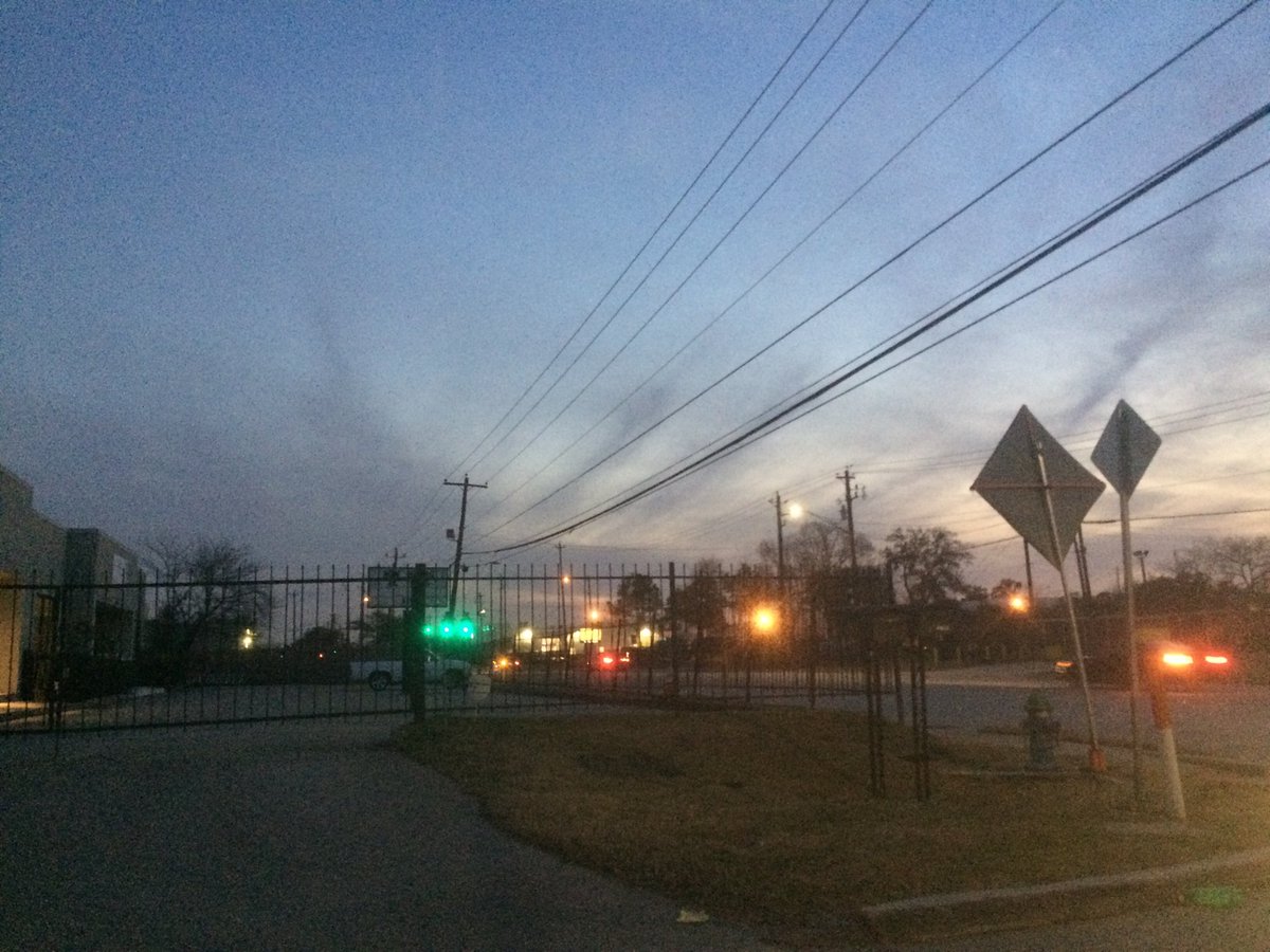
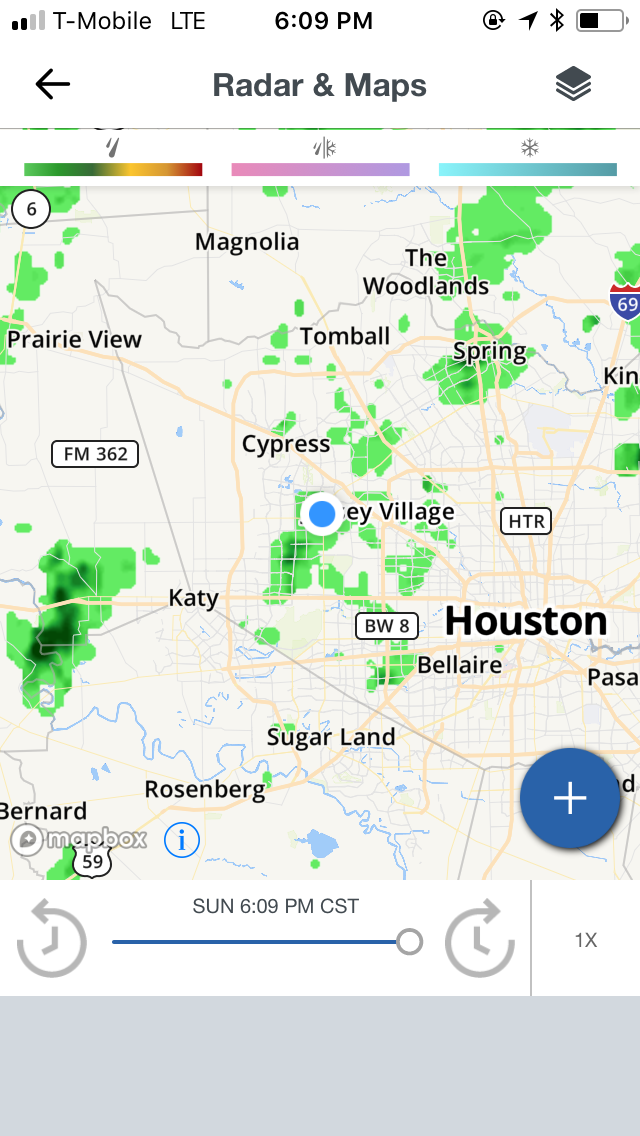
Houston, TX radar, during the late evening.
Houston, TX radar, during the early night.
Houston, TX radar, during the late night.
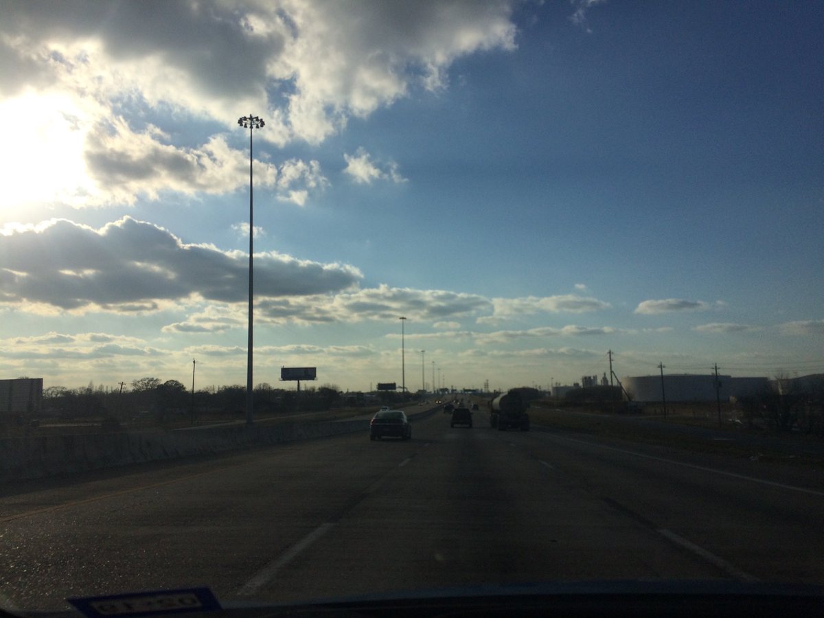
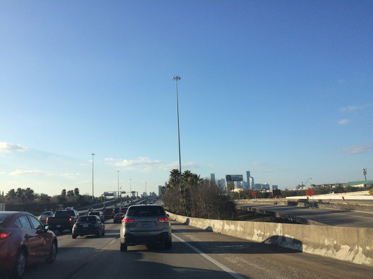
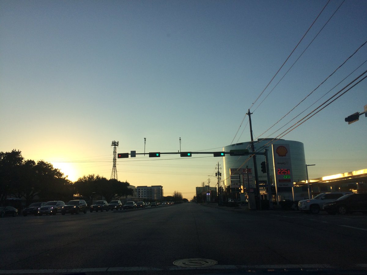
Summary: The day was mostly cloudy, a little wet, and windy. Light to moderate with maybe some moderately heavy showers were scattered around the Houston, TX area, during the morning, afternoon, and evening. A training line of moderately heavy to heavy with maybe some really heavy showers and maybe some thunderstorms stayed near the west side of Houston, TX, training from the south to the north with a little bit of a westward movement, during the night. I think I felt and saw some occasional off and on light to moderate showers, during the morning, afternoon, evening, and night. I think the sky looked to be mostly covered stratus clouds, during the morning, afternoon, and evening. I think the sky looked to be completely covered in stratus clouds, during the night. The wind speeds looked to be gentle with moderate to moderately strong gusts and some really strong 20 to maybe 25 mph gusts. It felt cool, during the early morning. It started to feel warm, sometime during the late, or maybe mid-morning. It felt warm, during the afternoon, and evening. I think it felt warm, during the night, but it might have felt a little cool, or cool, especially during the late night. There was a Hazardous Weather Outlook issued for the Houston, TX area, by NOAA. There were no other watches, warnings, alerts, advisories, or weather statements/outlooks issued for the Houston, TX area, that I know of. The low temperatures looked to be in the low 50's and the high temperatures looked to be in the mid, or maybe high 70's with some mid 70's, for the Houston, TX area.
Houston, TX Storm Summary: Light to moderate with maybe some moderately heavy showers were scattered around the Houston, TX area, during the morning, afternoon, and evening. A training line of moderately heavy to heavy with maybe some really heavy showers and maybe some thunderstorms stayed near the west side of Houston, TX, training from the south to the north with a little bit of a westward movement, during the night. I didn't see, or hear about any flooding, or damage caused by the weather to any of the locations in the Houston, TX area, during anytime of the day.
My Storm Summary: I think I felt and saw some occasional off and on light to moderate showers, during the morning, afternoon, evening, and night. I didn't see any lightning strikes, but though I heard some possible distant rumbles of thunder, sometime during the day. The roads and ground stayed partly wet from the on and off showers, where I was, during the day. I didn't see any flooding, or damage caused by the weather, where I was, during the day.
Locations: Northwest Houston, TX.
Thoughts: I was hoping to see more rain than just a few showers, but that is ok.
Area Forecast Discussion
Issued by NWS Houston/Galveston, TX
000
FXUS64 KHGX 220315
AFDHGX

Area Forecast Discussion
National Weather Service Houston/Galveston TX
915 PM CST Sun Jan 21 2018

.NEAR TERM [Through Monday]...
No major changes were made to the
forecast this evening. Current radar imagery shows scattered
showers splattered across much of the region tonight. The surface
low associated with the cold front is currently situated over
northeastern Oklahoma and southeastern Kansas. This has left the
area with the best surface convergence, along with upper level
divergence well to the north of even our northern most counties
from Burleson to Houston. AMDAR soundings still reveal a strong
cap in place between 800-700mb this evening, which has helped to
hinder thunderstorm development. Forecast soundings continue to
indicate the best moisture available through 06Z, with
precipitable water values ranging between 1.0-1.3 inches. Low-
level lapse rates and K-index values also decrease after 06Z.
Therefore, our best chance for an isolated thunderstorm would be
most likely before 06Z tonight. Short term guidance such as the
HRRR and Texas Tech WRF have begun to back off on thunderstorm
coverage as this line of precipitation slides east of I-45. The
main front will eventually overtake the dryline/Pacific front, as
it continues to push westward across east Texas this evening
between 06-09Z.

Nine o`clock observations have temperatures and dew points in the
middle to upper 60s across much of the SE TX. Onshore winds will
begin to veer overnight and eventually turn out of the northwest
by sunrise increasing to between 10 to 15 MPH. Clear skies are in
store behind the front with Monday morning temperatures beginning
in the upper 40s to upper 50s. As drier air filters into the
region, high temperatures will reach into the upper 60s to lower
70s late Monday afternoon.

Hathaway

&&

.PREV DISCUSSION /Issued 549 PM CST Sun Jan 21 2018/...

.AVIATION [00Z TAF Issuance]...

Radar this evening shows a smattering of showers across SE Texas
that will intermittently pass over terminals. This will continue
through the night as a Pacific front pushes through the area. The
front should reach KCLL/UTS around 06-07Z, KIAH/KHOU around 08-10Z
and then the coast around 12Z. Ceilings should drop to MVFR
levels ahead of the front and there may be a brief period of IFR
but confidence in IFR is low. Front should feature a line of
showers but full TSRA are yet to be determined. AMDAR soundings
still show an elevated mixed layer around 800-700mb which would
need to erode before deep convection can form. TAFs will go with
VCTS but likely just have a line of showers as HRRR and a few WRF
runs indicate. TSRA may need to be put in for KCLL and KUTS but
those sites may even be just far enough south from upper level
forcing that the cap will still hold. Ceilings improve behind the
front with NW winds which become gusty during the day.

Overpeck


.MARINE...
Periods of fog (some dense) will continue across the bays and
nearshore waters until the front pushes off the coast early Monday
morning. Moderate onshore flow ahead of this front is also
producing 15 to 20 knot winds and 6 foot seas in the offshore
waters, and caution flags are currently in effect. Expect some
shower development out ahead of the front this evening and
tonight, with the front itself dragging a thin line of showers and
thunderstorms through the waters Monday morning. This will be
accompanied by a gradual wind shift to the northwest. Caution
flags will likely be required Monday into Monday night.

Winds gradually become NE to E by midweek before returning to SE
by the weekend. Sea fog could become an issue again by the end of
the week as deeper moisture moves back over the waters. Another
much stronger front should push off the coast next weekend. 11


.FIRE WEATHER...
A cold front will pass through the region overnight tonight,
bringing drier and breezy conditions in its wake. RHs on Monday
afternoon could fall into the mid to upper 20s with winds near 15
mph. This will create elevated fire conditions across the area for
Monday. Tuesday will be just as dry but with much lighter winds.
Moisture will begin filtering back over the area Wednesday. 11


&&

.PRELIMINARY POINT TEMPS/POPS...

College Station (CLL)  48  68  37  67  37 /  60   0   0   0   0
Houston (IAH)          57  70  41  67  40 /  60   0   0   0   0
Galveston (GLS)        58  70  47  64  45 /  60  10   0   0   0

&&

.HGX WATCHES/WARNINGS/ADVISORIES...

TX...None.
GM...Dense Fog Advisory until 3 AM CST Monday for the following
     zones: Coastal waters from Freeport to the Matagorda Ship
     Channel out 20 NM...Coastal waters from High Island to
     Freeport out 20 NM...Galveston Bay...Matagorda Bay.

     SMALL CRAFT SHOULD EXERCISE CAUTION until 3 AM CST Monday for
     the following zones: Waters from Freeport to the Matagorda
     Ship Channel from 20 to 60 NM...Waters from High Island to
     Freeport from 20 to 60 NM.


&&

$$

NEAR TERM...08
AVIATION...Overpeck
Hazardous Weather Outlook
Hazardous Weather Outlook
National Weather Service Houston/Galveston TX
236 PM CST Sun Jan 21 2018

GMZ330-335-350-355-370-375-TXZ213-214-235>238-222045-
Brazoria-Chambers-
Coastal waters from Freeport to the Matagorda Ship Channel out
20 NM-Coastal waters from High Island to Freeport out 20 NM-
Galveston-Galveston Bay-Harris-Jackson-Matagorda-Matagorda Bay-
Waters from Freeport to the Matagorda Ship Channel from 20 to
60 NM-Waters from High Island to Freeport from 20 to 60 NM-
236 PM CST Sun Jan 21 2018

This hazardous weather outlook is for portions of Southeast Texas..

.DAY ONE...This Afternoon and Tonight

Periods of dense sea fog are possible until a cold front pushes
through the area late tonight. Small craft should exercise
caution offshore due to elevated winds and seas.

.DAYS TWO THROUGH SEVEN...Monday through Saturday

Elevated fire weather conditions will be possible across Southeast
Texas on Monday.

Elevated winds and waves will be possible across the offshore
waters behind a cold front Monday.

.SPOTTER INFORMATION STATEMENT...

Spotter activation is not anticipated at this time.

$$