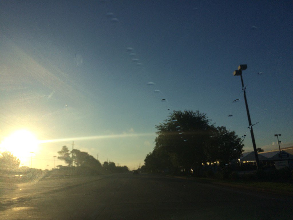
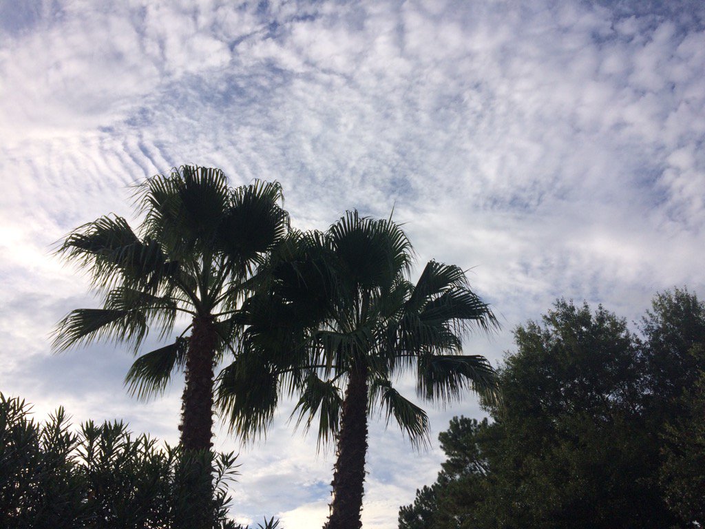
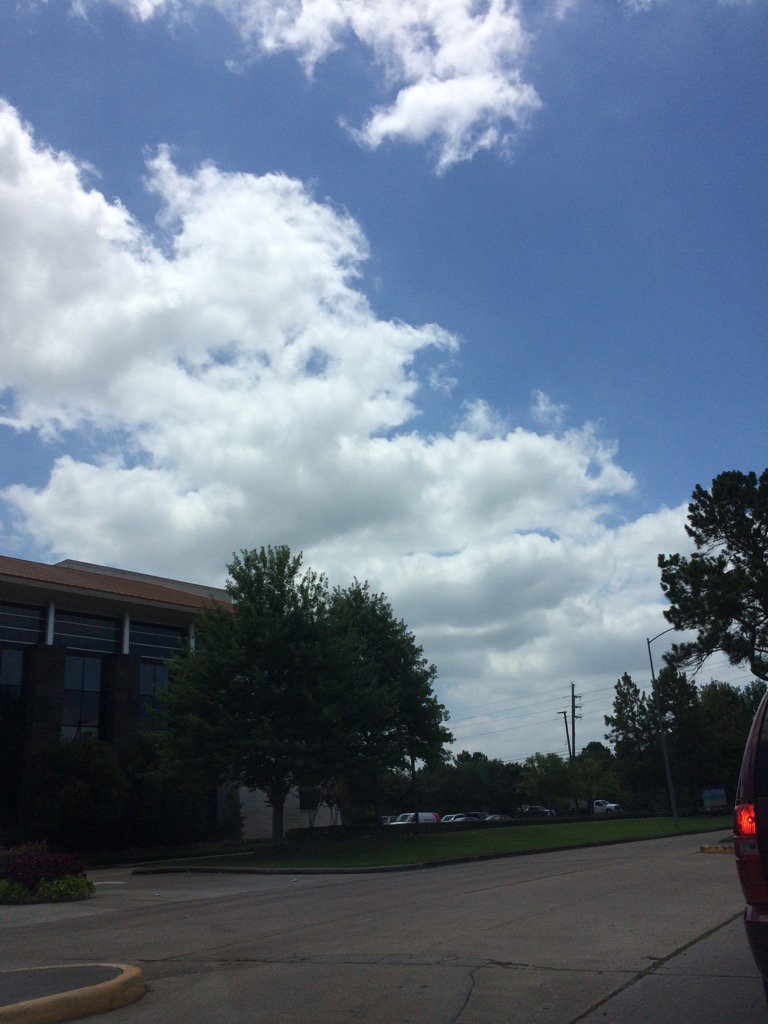
Northwest Houston, TX, during the early morning.
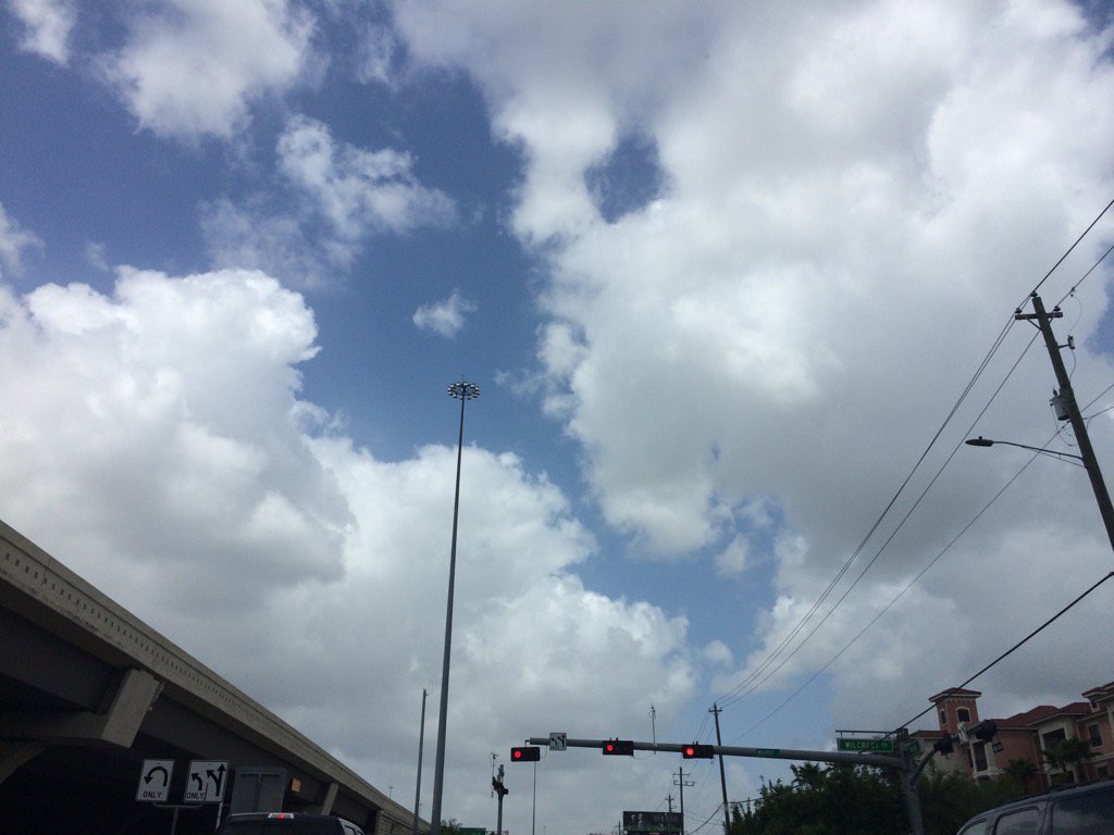
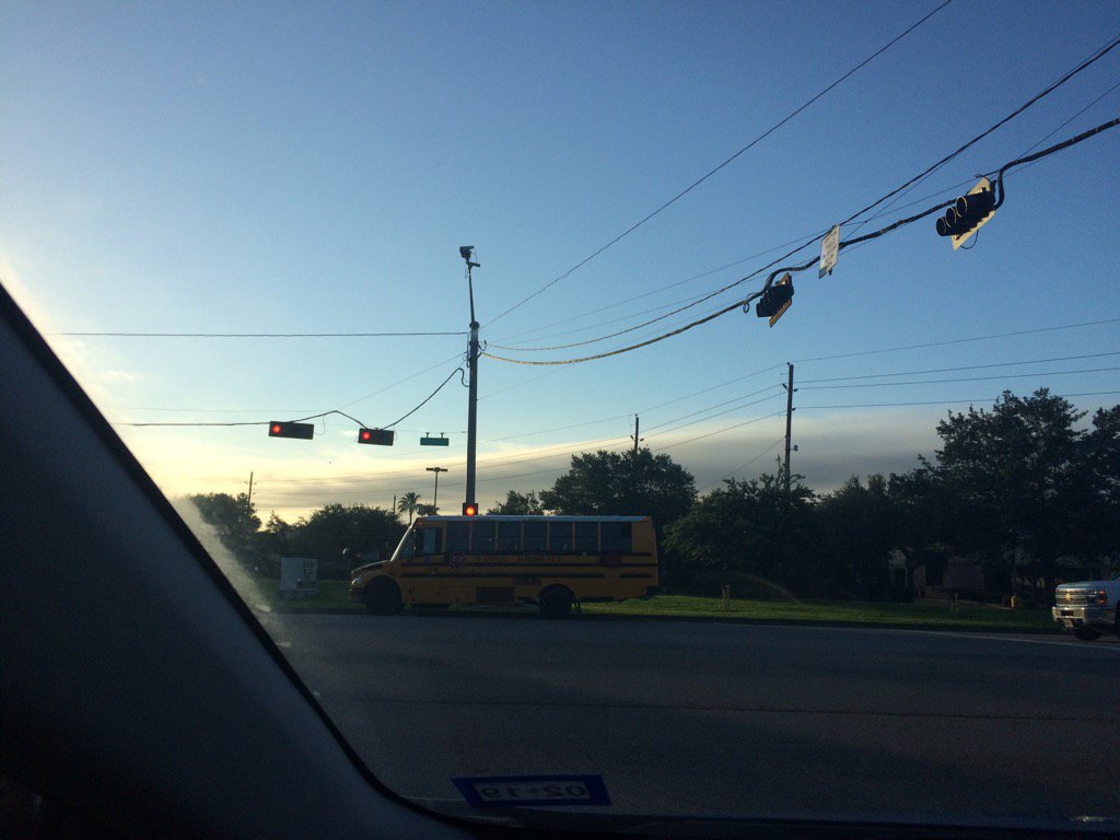
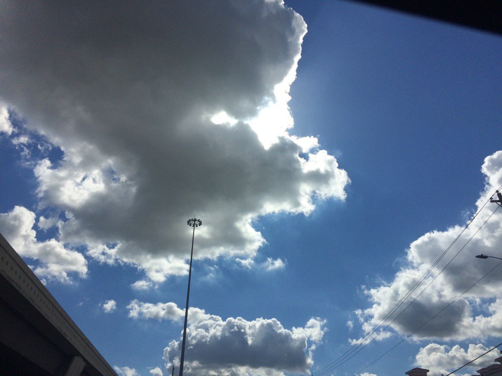
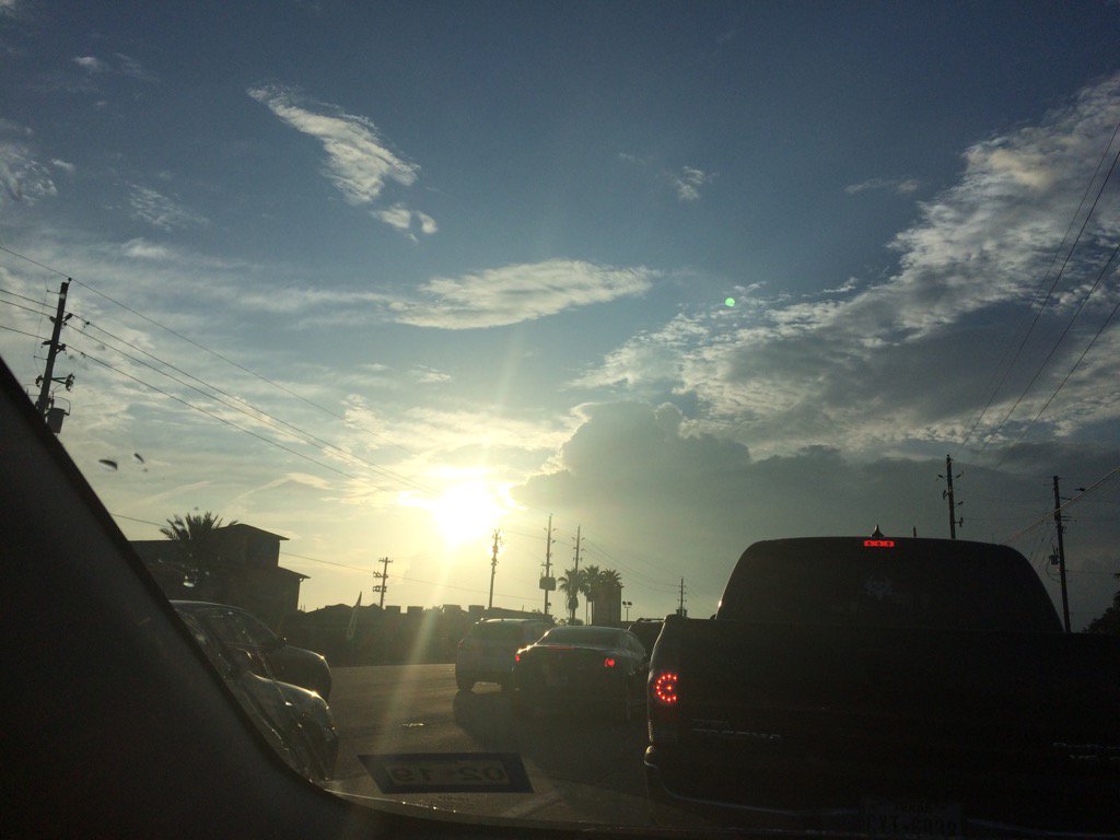
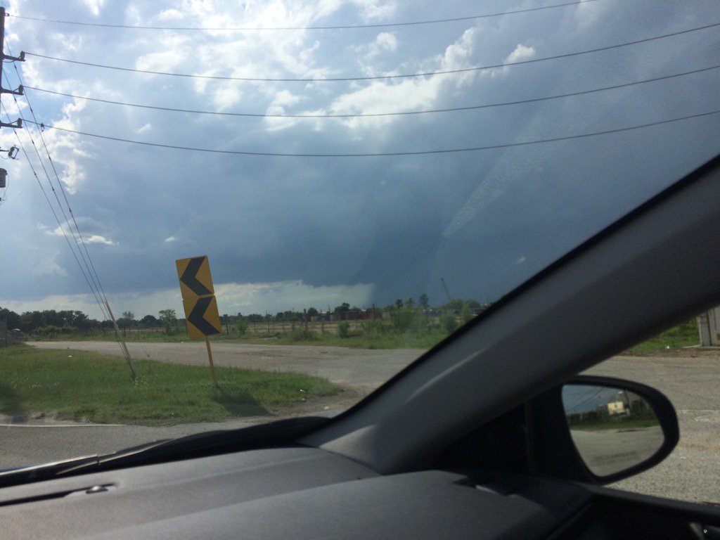
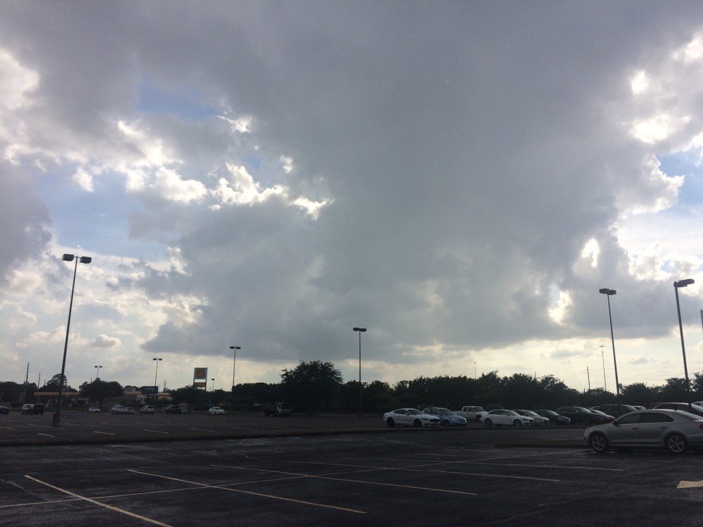
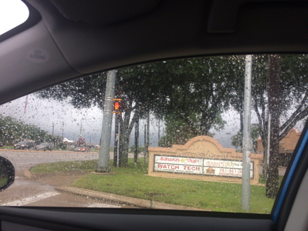
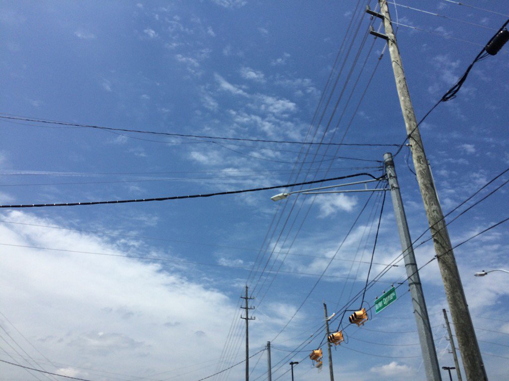
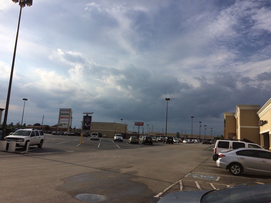
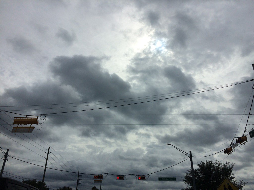
Northwest Houston, TX, during the late afternoon.
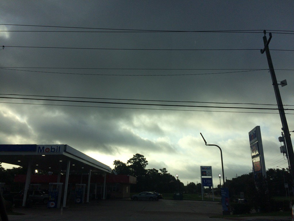
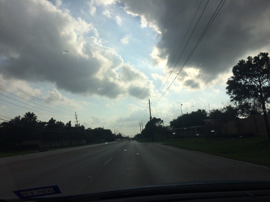
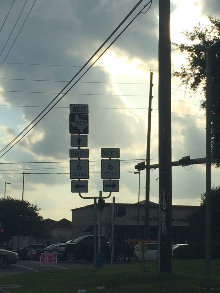
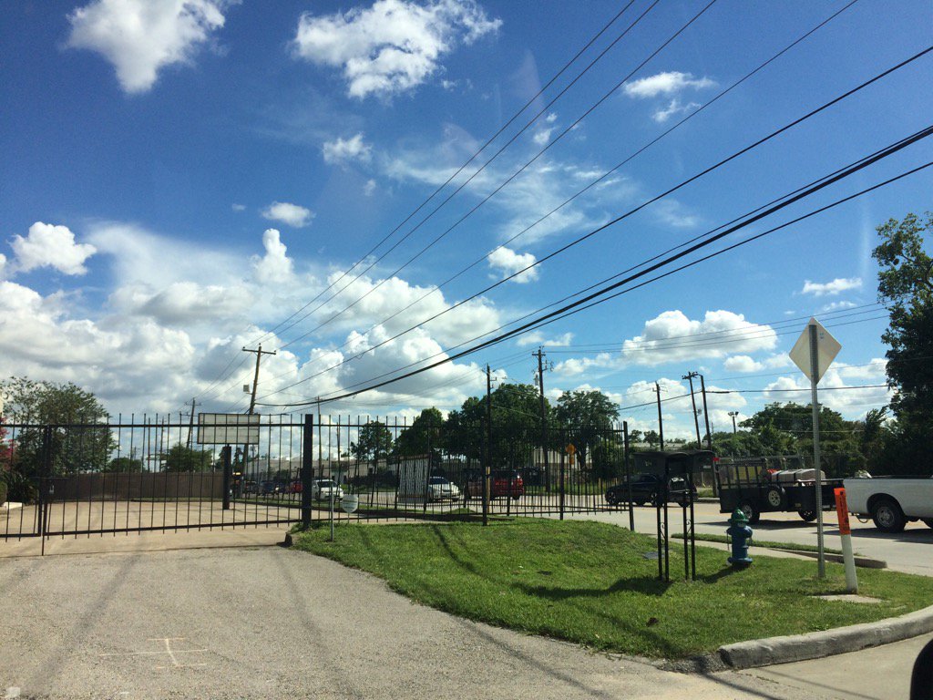
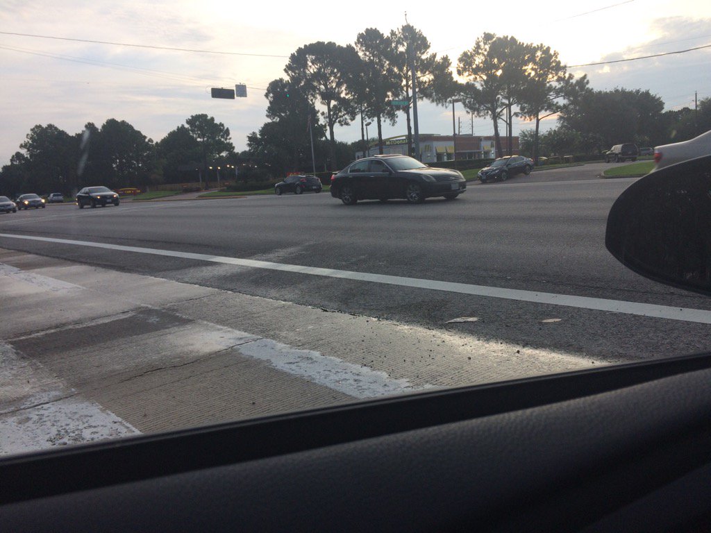
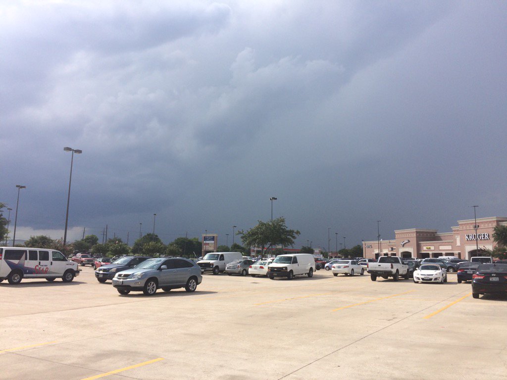
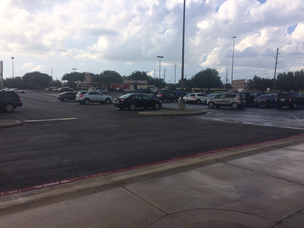
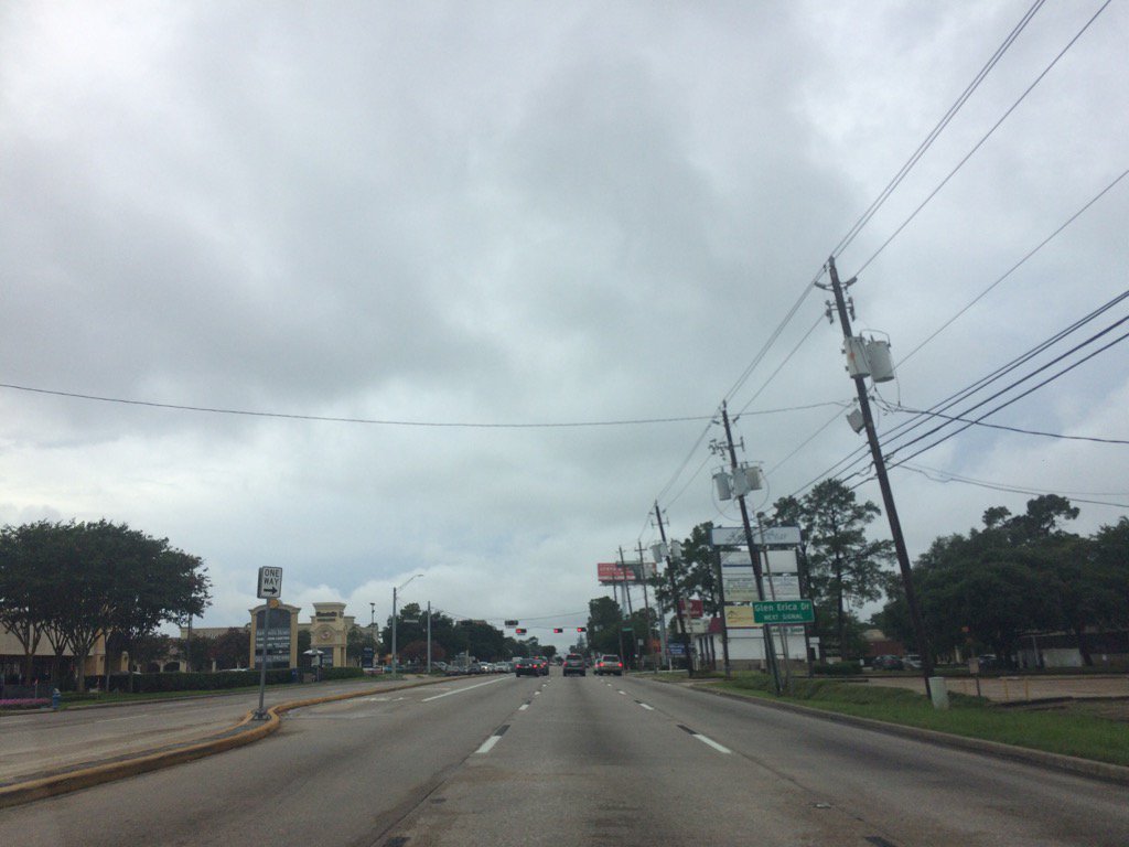
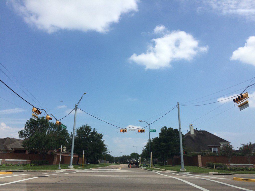
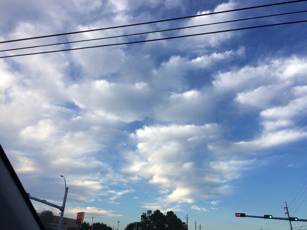
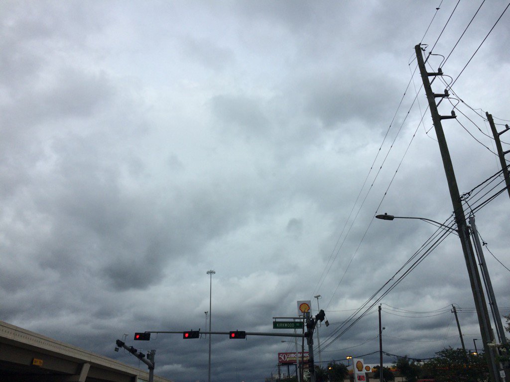
Northwest Houston, TX, during the early evening.
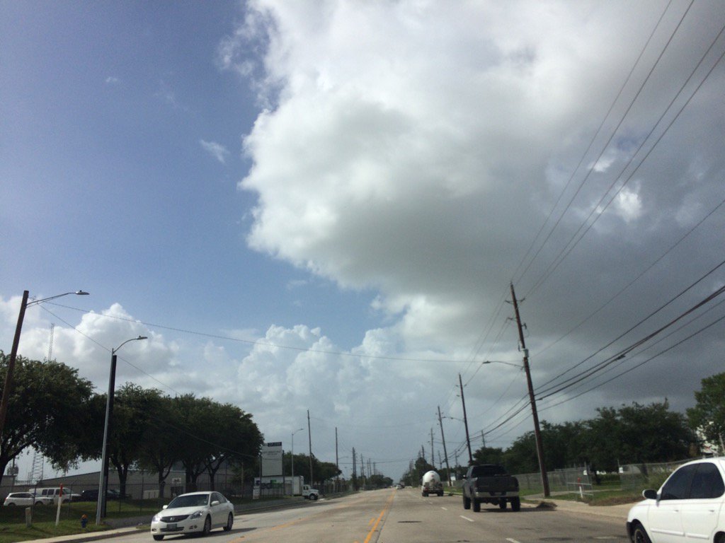
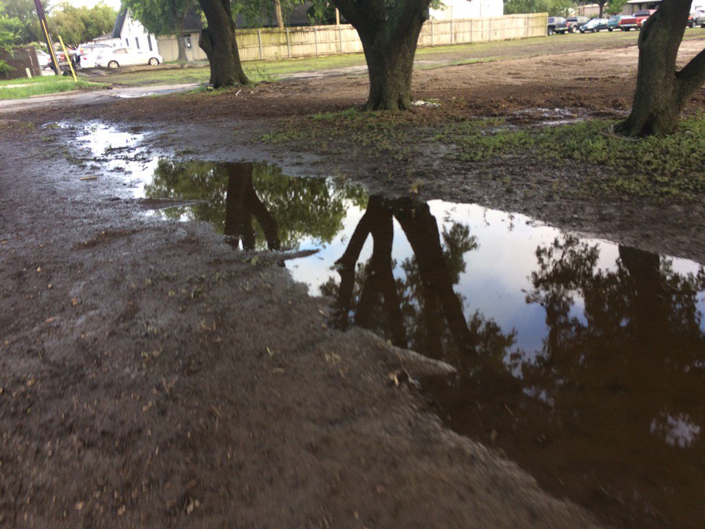
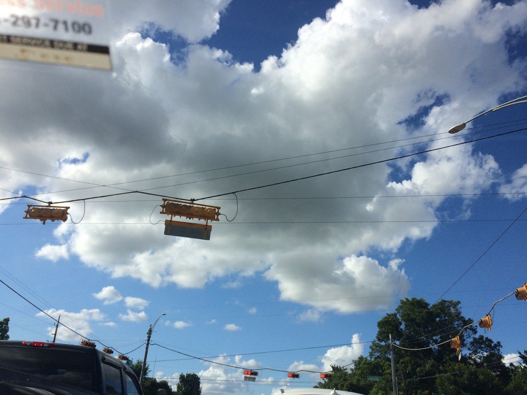
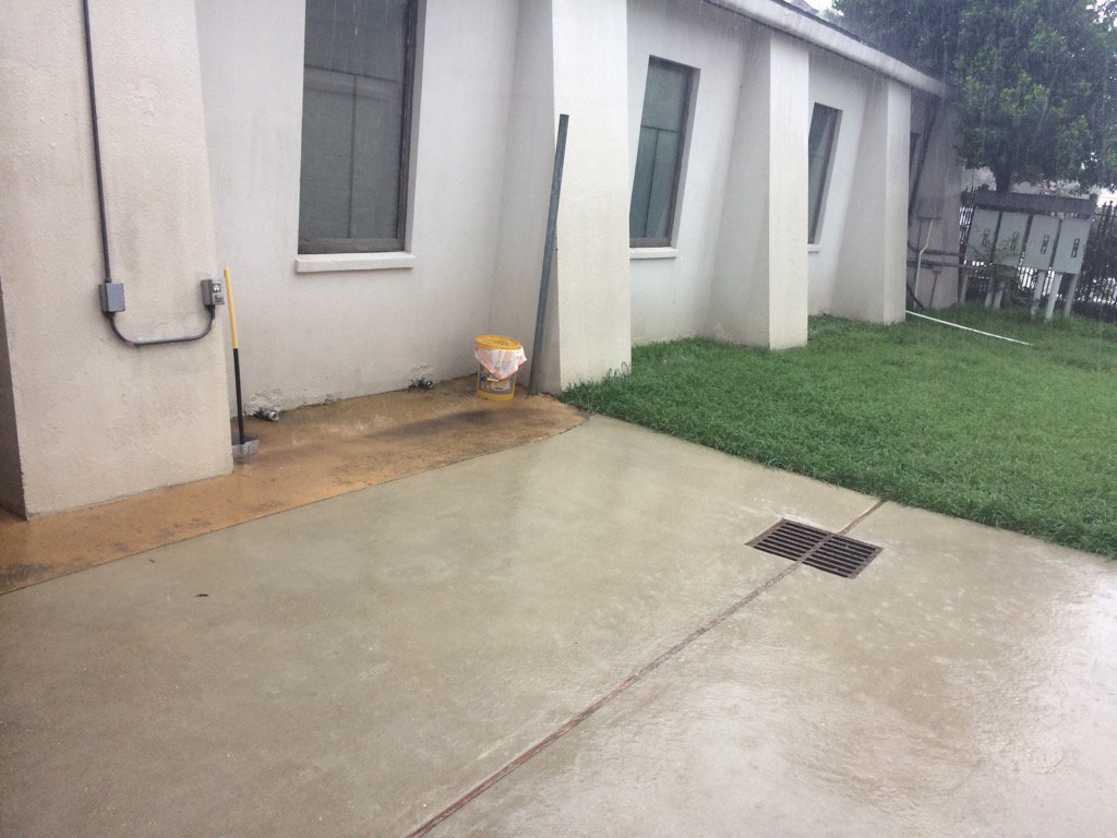
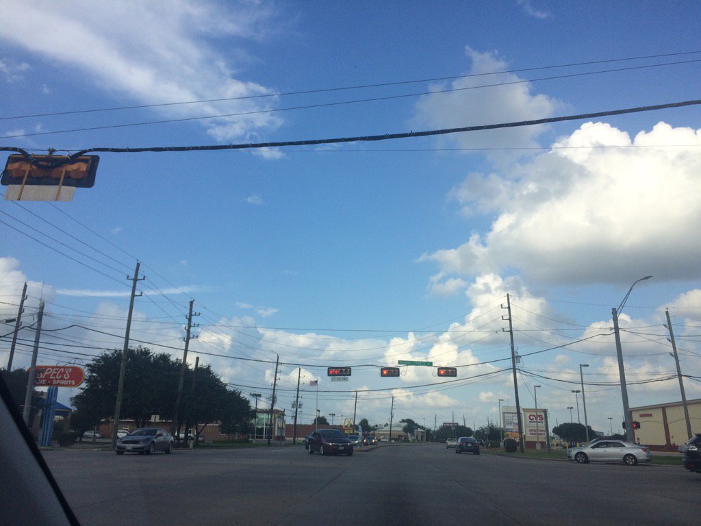
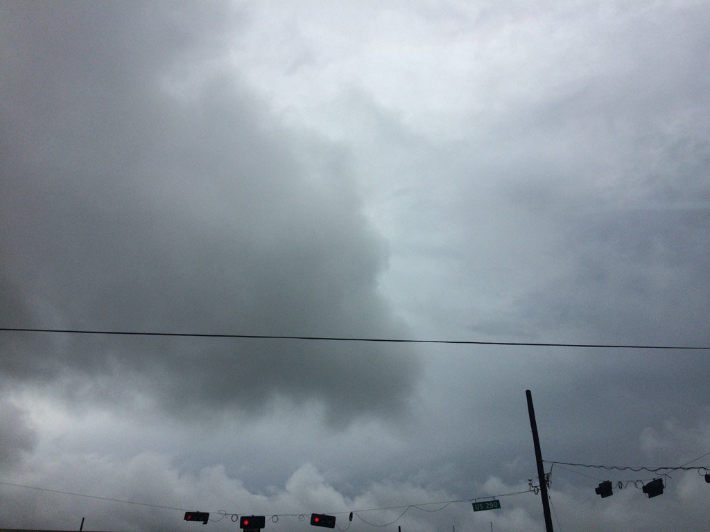
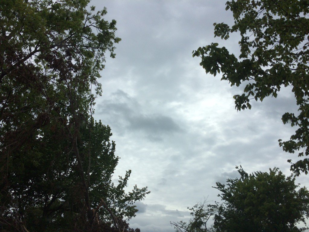
West Houston, TX, during the early evening.
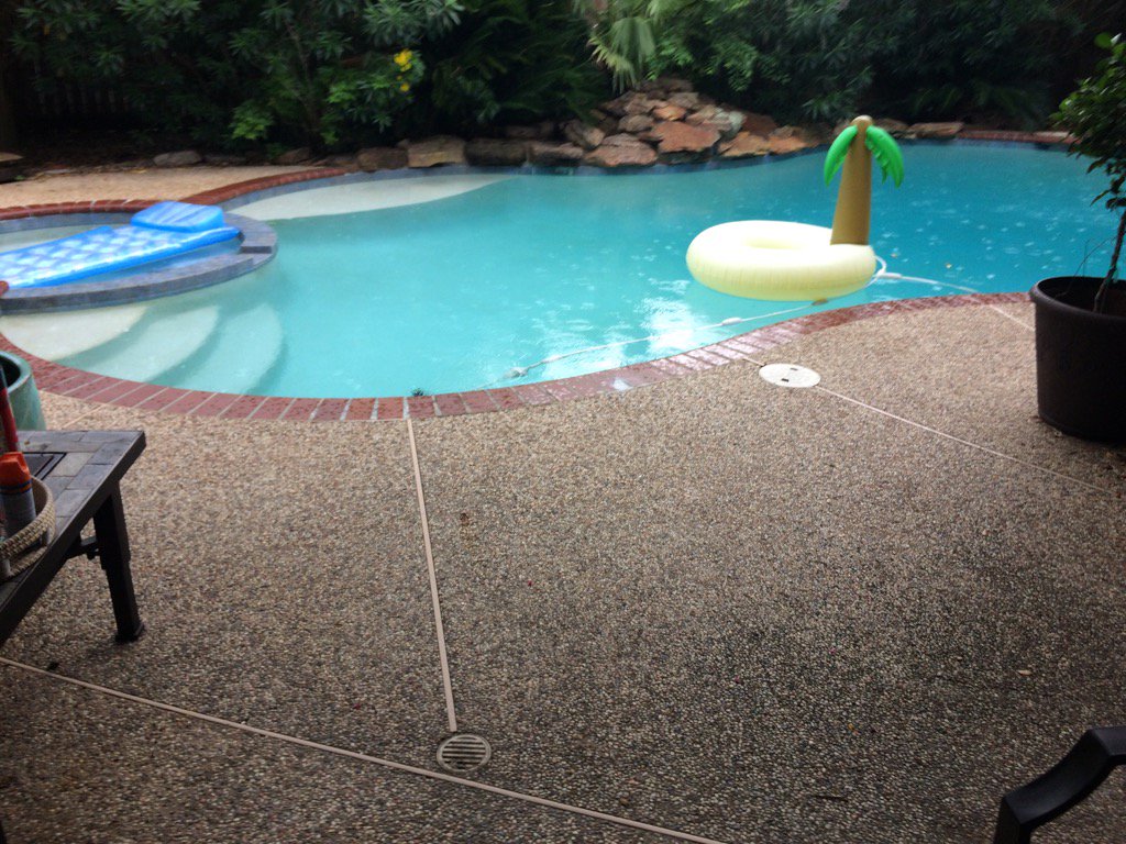
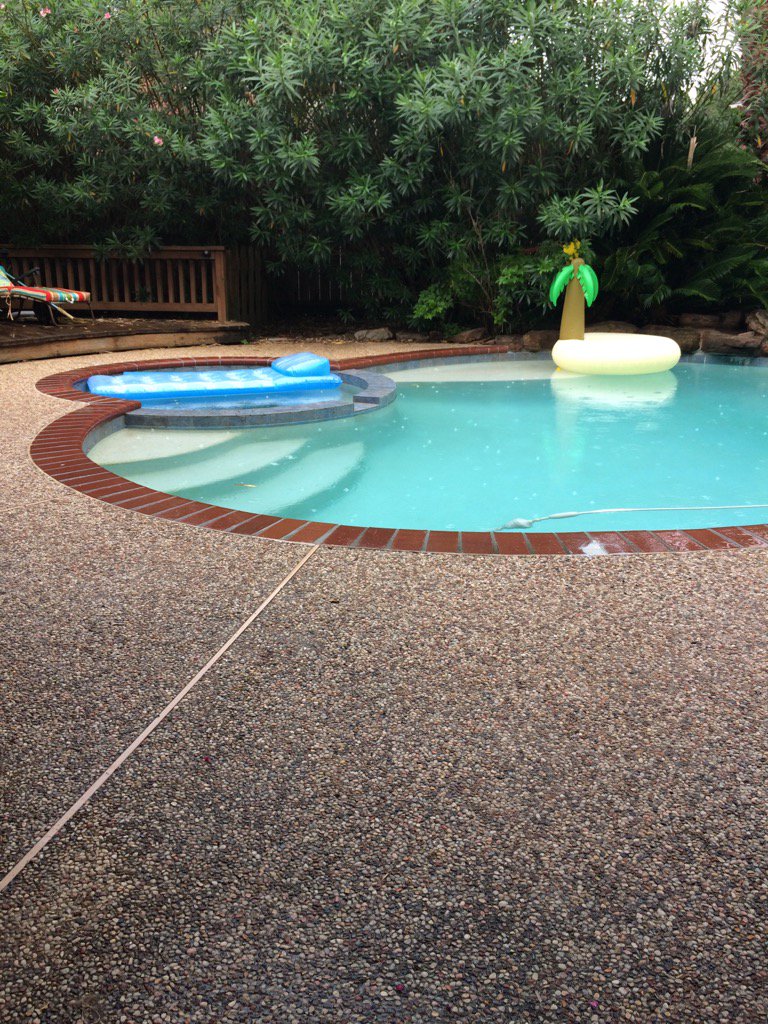
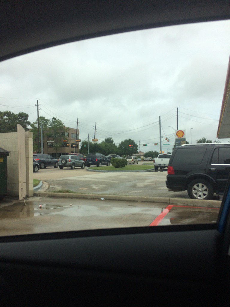
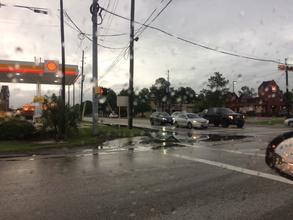
West Houston, TX, during the late night.
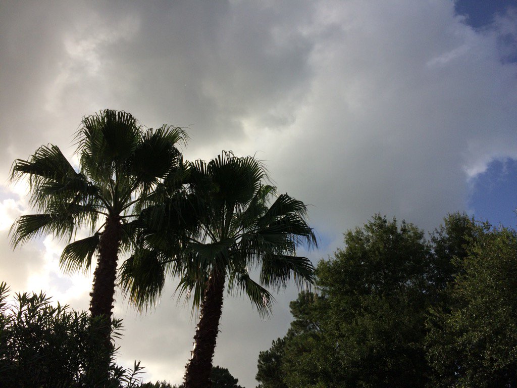
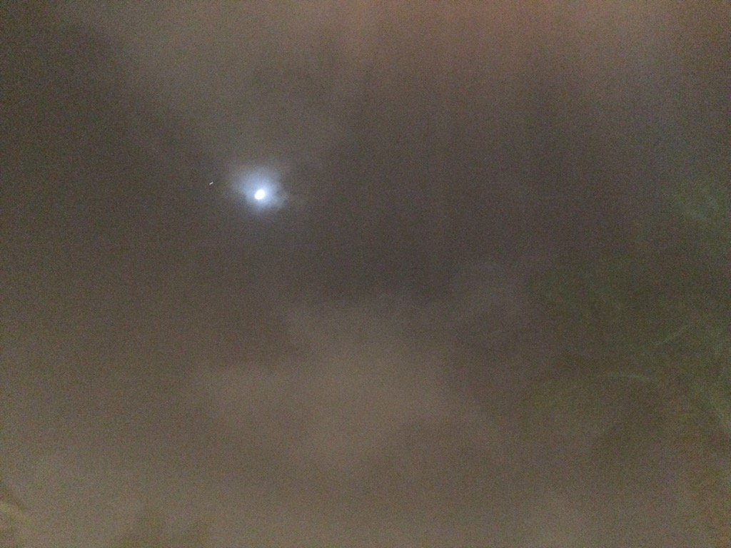
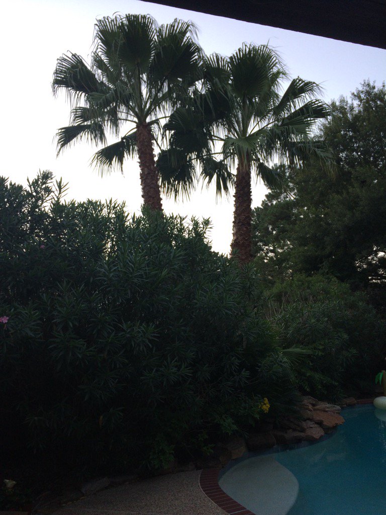
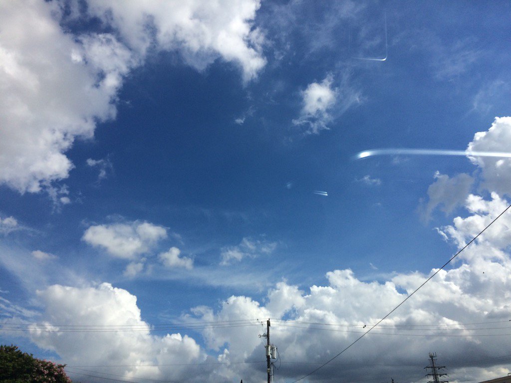
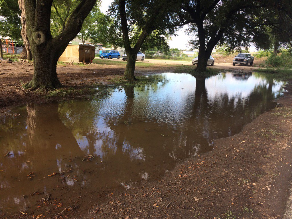
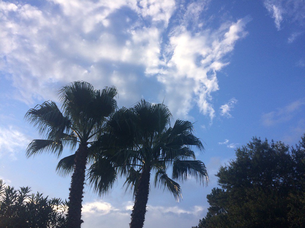
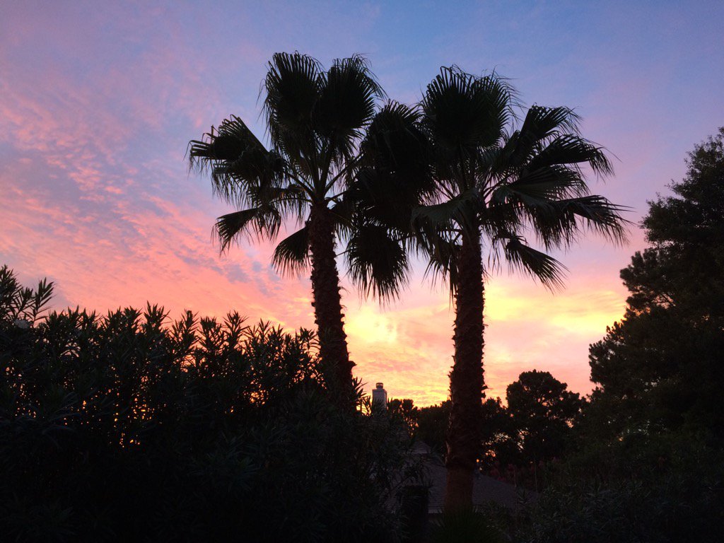
Northwest Houston, TX, during the late night.
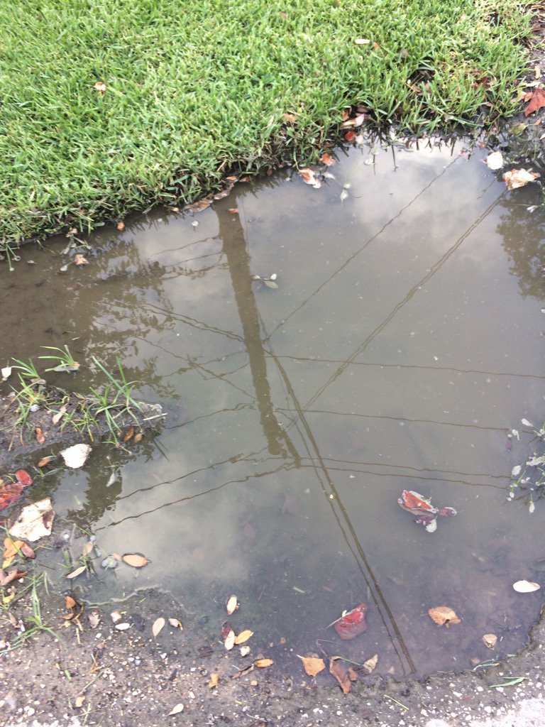
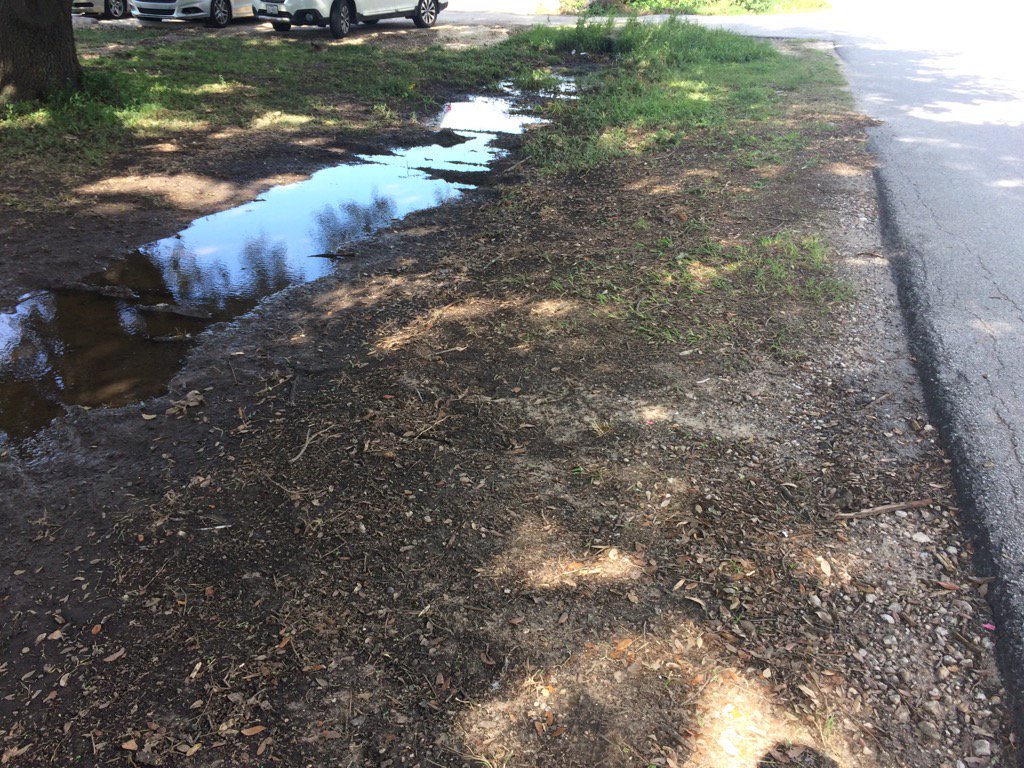
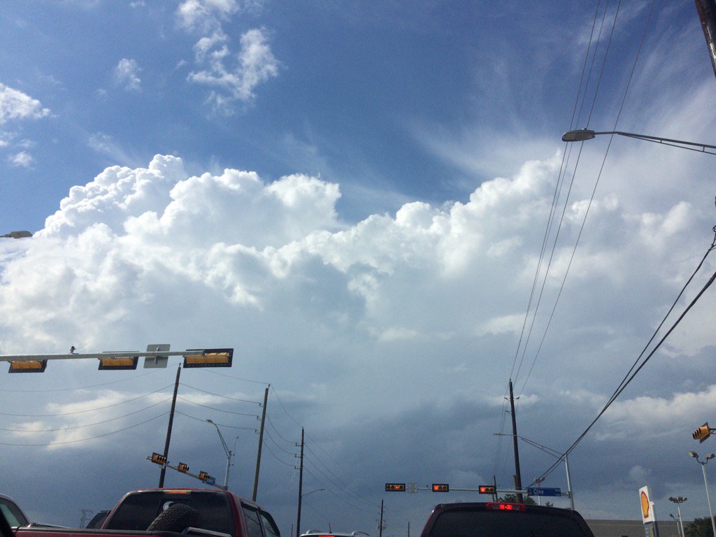
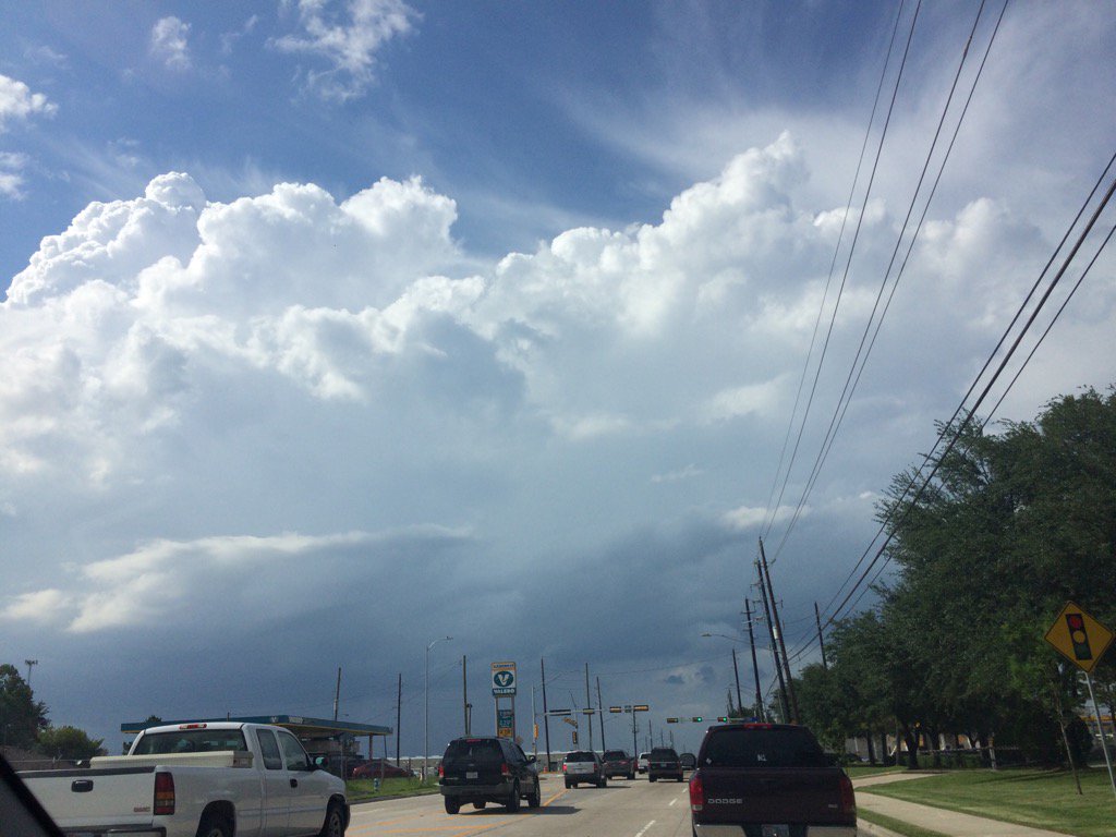
Summary: The day was warm, mostly cloudy, and dry. A few bands of light to moderate showers and possible thunderstorms made it over to east, central, and some parts of west Houston, TX, during the afternoon, evening, and night. I saw a few rain drops on my cars windshield in northwest Houston, TX, during the late afternoon. Some light drizzle was falling on my way from Pluckers in west Houston, TX to my house in northwest Houston, TX, during the late night. alto stratus and stratus clouds with stratocumulus clouds looked to cover most of the sky, during the morning, afternoon, evening, and night. The wind speeds looked to be calm with moderate to moderately strong gusts with some really strong gusts, during the morning, afternoon, evening, and night. It felt warm, during the morning, mid and late afternoon, evening, and night. It felt hot during the early afternoon. There was still a tropical storm warning issued for the Houston, TX area, along with a tropical weather statement. There also might have been some coastal flood advisories issued for the southern areas of Houston, TX. There were no other watches, warnings, advisories, weather statements, or alerts issued for the Houston, TX, that I know of. The low temps looked to be in the 70's and the high temps looked to be in the 80's, or maybe 90's, or at least maybe some 90's, for the Houston, TX area. I didn't hear about, or see any storm damages, or flooding from tropical storm Cindy, for the Houston, TX area. There were reports of storm surge at Galveston, TX beaches, but that is the only thing that I have heard about from tropical storm Cindy.
Locations: Northwest and west Houston, TX.
Thoughts: Not much going on with tropical storm Cindy, for the Houston, TX area, today. Just some minor strong winds and a few bands of rain. Maybe Houston, TX will see more from tropical storm Cindy tomorrow.
Hazardous Weather Outlook
Hazardous Weather Outlook
National Weather Service Houston/Galveston TX
337 PM CDT Wed Jun 21 2017

GMZ330-335-350-355-370-375-TXZ163-164-176>179-195>200-210>214-226-
227-235>238-221200-
Austin-Brazoria-Brazos-Burleson-Chambers-
Coastal waters from Freeport to the Matagorda Ship Channel out
20 NM-Coastal waters from High Island to Freeport out 20 NM-
Colorado-Fort Bend-Galveston-Galveston Bay-Grimes-Harris-Houston-
Jackson-Liberty-Madison-Matagorda-Matagorda Bay-Montgomery-Polk-
San Jacinto-Trinity-Walker-Waller-Washington-
Waters from Freeport to the Matagorda Ship Channel from 20 to
60 NM-Waters from High Island to Freeport from 20 to 60 NM-
Wharton-
337 PM CDT Wed Jun 21 2017

This hazardous weather outlook is for portions of Southeast Texas.

.DAY ONE...This Afternoon and Tonight

Tropical Storm Cindy is expected to make landfall near the Texas Louisiana
border tonight and move inland on Thursday. Periods of showers and tstms
can be expected, especially near the center of the circulation where
locally heavy rainfall will be possible. Breezy to windy north to northwest
winds can be expected too.

.DAYS TWO THROUGH SEVEN...Thursday through Tuesday

Tropical Storm Cindy is expected to move inland near the Texas Louisiana
border on Thursday. Periods of showers and thunderstorms can be expected,
especially near the center of the circulation where locally heavy rainfall
will be possible. Breezy to windy northwest to west winds will weaken
as the day progresses. Rain chances will persist into the weekend.

.SPOTTER INFORMATION STATEMENT...

Emergency managers and storm spotters should prepare for tonight
through Thursday morning.

$$
Hurricane Local Statement
TROPICAL STORM CINDY LOCAL STATEMENT ADVISORY NUMBER 10
TXZ200-213-214-238-221115-
TROPICAL STORM CINDY LOCAL STATEMENT ADVISORY NUMBER 10
NATIONAL WEATHER SERVICE HOUSTON/GALVESTON TX AL032017
1006 PM CDT WED JUN 21 2017
THIS PRODUCT COVERS SOUTHEAST TEXAS
RAINS FROM CINDY BEGINNING TO IMPACT FAR SOUTHEASTERN TEXAS
NEW INFORMATION
---------------
* CHANGES TO WATCHES AND WARNINGS:
- NONE
* CURRENT WATCHES AND WARNINGS:
- A TROPICAL STORM WARNING IS IN EFFECT FOR CHAMBERS, GALVESTON,
HARRIS, AND LIBERTY
* STORM INFORMATION:
- ABOUT 100 MILES EAST-SOUTHEAST OF GALVESTON TX
- 28.6N 93.4W
- STORM INTENSITY 50 MPH
- MOVEMENT NORTH-NORTHWEST OR 340 DEGREES AT 7 MPH
SITUATION OVERVIEW
------------------
TROPICAL STORM CINDY IS APPROACHING THE TEXAS AND LOUISIANA
COASTLINE THIS EVENING, AND HAS NOW BEGUN TO MOVE NORTH-NORTHWEST. SOME
RAIN AND GUSTY WINDS HAVE BEGUN TO IMPACT THE AREA ALREADY. RAINFALL
REMAINS THE MAIN THREAT TO THE EAST OF A GALVESTON TO HOUSTON TO
LIVINGSTON LINE. MINOR COASTAL FLOODING IMPACTS MAY BE SEEN ON THE
BOLIVAR PENINSULA AND PORTIONS OF GALVESTON ISLAND. MINOR WIND IMPACTS
CAN BE EXPECTED OVERNIGHT, AND MAY INCLUDE ISOLATED POWER OUTAGES -
PRIMARILY ALONG THE IMMEDIATE COAST.
POTENTIAL IMPACTS
-----------------
* FLOODING RAIN:
POTENTIAL IMPACTS FROM THE FLOODING RAIN ARE STILL UNFOLDING ACROSS
FAR SOUTHEAST TEXAS. REMAIN WELL GUARDED AGAINST LOCALLY
HAZARDOUS FLOOD WATERS HAVING POSSIBLE LIMITED
IMPACTS. IF REALIZED, THESE IMPACTS INCLUDE:
- RIVERS AND TRIBUTARIES MAY QUICKLY RISE WITH SWIFTER CURRENTS.
SMALL STREAMS, CREEKS, CANALS, AND DITCHES MAY BECOME
SWOLLEN AND OVERFLOW IN SPOTS.
- A FEW PLACES WHERE RAPID PONDING OF WATER
OCCURS AT UNDERPASSES, LOW-LYING SPOTS, AND POOR DRAINAGE
AREAS. SEVERAL STORM DRAINS AND RETENTION PONDS BECOME
NEAR-FULL AND BEGIN TO OVERFLOW.
ELSEWHERE ACROSS SOUTHEAST TEXAS, LITTLE TO NO IMPACT IS ANTICIPATED.
* WIND:
POTENTIAL IMPACTS FROM THE MAIN WIND EVENT ARE NOW UNFOLDING ACROSS
COASTAL SOUTHEAST TEXAS. SOME LOCATIONS...INCLUDING GALVESTON...HAVE
SEEN GUSTS IN EXCESS OF 40 MPH. IF REALIZED, WIND IMPACTS INCLUDE:
- UNSECURED LIGHTWEIGHT OBJECTS BLOWN AROUND.
- SOME TREE LIMBS DOWN.
- ISOLATED TO SCATTERED POWER OUTAGES.
ELSEWHERE ACROSS SOUTHEAST TEXAS, LITTLE TO NO IMPACT IS ANTICIPATED.
* SURGE:
POTENTIAL IMPACTS FROM THE MAIN SURGE EVENT ARE NOW UNFOLDING FOR THE
BOLIVAR PENINSULA AND VULNERABLE PORTIONS OF GALVESTON ISLAND.
REMAIN WELL AWAY FROM LOCALLY HAZARDOUS SURGE HAVING LIMITED IMPACTS. IF
REALIZED, THESE IMPACTS INCLUDE:
- LOCALIZED INUNDATION WITH STORM SURGE FLOODING MAINLY ALONG
IMMEDIATE SHORELINES AND IN LOW-LYING SPOTS.
- SECTIONS OF NEAR-SHORE ROADS AND PARKING LOTS BECOME OVERSPREAD
WITH SURGE WATER. AN EXAMPLE OF THIS IS HIGHWAY 87 ON THE BOLIVAR
PENINSULA. DRIVING CONDITIONS ARE DANGEROUS IN PLACES WHERE
SURGE WATER COVERS THE ROAD.
ELSEWHERE ACROSS SOUTHEAST TEXAS, LITTLE TO NO IMPACT IS ANTICIPATED.
* TORNADOES:
LITTLE TO NO IMPACTS ARE ANTICIPATED AT THIS TIME
ACROSS SOUTHEAST TEXAS.
PRECAUTIONARY/PREPAREDNESS ACTIONS
----------------------------------
* EVACUATIONS:
THERE IS A VOLUNTARY EVACUATION IN PLACE.
* OTHER PREPAREDNESS INFORMATION:
CONTINUE TO KEEP YOUR CELL PHONE WELL CHARGED FOR AS LONG AS
POSSIBLE. IF YOU LOSE POWER, USE IT MORE SPARINGLY AND MAINLY FOR
PERSONAL EMERGENCIES AND CHECK-INS.
IF YOU ARE A VISITOR IN THE AREA, BE SURE YOU KNOW THE NAME OF THE COUNTY
YOU ARE IN. PAY ATTENTION FOR INSTRUCTIONS FROM LOCAL AUTHORITIES.
CLOSELY MONITOR NOAA WEATHER RADIO OR OTHER LOCAL NEWS OUTLETS FOR
OFFICIAL STORM INFORMATION. BE READY TO ADAPT TO POSSIBLE CHANGES TO
THE FORECAST.
* ADDITIONAL SOURCES OF INFORMATION:
- FOR INFORMATION ON APPROPRIATE PREPARATIONS SEE READY.GOV
- FOR INFORMATION ON CREATING AN EMERGENCY PLAN SEE GETAGAMEPLAN.ORG
- FOR ADDITIONAL DISASTER PREPAREDNESS INFORMATION SEE REDCROSS.ORG
NEXT UPDATE
-----------
THE NEXT LOCAL STATEMENT WILL BE ISSUED BY THE NATIONAL WEATHER
SERVICE IN HOUSTON/GALVESTON TX AROUND 4 AM CDT, OR SOONER IF
CONDITIONS WARRANT.
$$
Tropical Storm Warning
CINDY LOCAL WATCH/WARNING STATEMENT/ADVISORY NUMBER 10
NATIONAL WEATHER SERVICE HOUSTON/GALVESTON TX AL032017
957 PM CDT WED JUN 21 2017
TXZ213-221100-
/O.CON.KHGX.TR.W.1003.000000T0000Z-000000T0000Z/
HARRIS-
957 PM CDT WED JUN 21 2017
...TROPICAL STORM WARNING REMAINS IN EFFECT...
* WIND
- LATEST LOCAL FORECAST: BELOW TROPICAL STORM FORCE WIND
- PEAK WIND FORECAST: 20-30 MPH WITH GUSTS TO 40 MPH
- CURRENT THREAT TO LIFE AND PROPERTY: ELEVATED
- THE WIND THREAT HAS REMAINED NEARLY STEADY FROM THE
PREVIOUS ASSESSMENT.
- EMERGENCY PLANNING SHOULD INCLUDE A REASONABLE THREAT FOR
TROPICAL STORM FORCE WIND OF 39 TO 57 MPH.
- TO BE SAFE, PREPARE FOR THE POTENTIAL OF LIMITED WIND
IMPACTS.
- HAZARDOUS WIND IS POSSIBLE.
- POTENTIAL IMPACTS: LIMITED
- UNSECURED LIGHTWEIGHT OBJECTS BLOWN ABOUT.
- ISOLATED POWER OUTAGES ACROSS EXTREME SOUTHEAST AREAS.
* STORM SURGE
- NO STORM SURGE INUNDATION FORECAST
- CURRENT THREAT TO LIFE AND PROPERTY: NONE
- THE STORM SURGE THREAT HAS REMAINED NEARLY STEADY FROM THE
PREVIOUS ASSESSMENT.
- EMERGENCY PLANNING FOR THIS EVENT NEED NOT INCLUDE A THREAT
FOR STORM SURGE FLOODING. THE GROUND WILL REMAIN LARGELY
UNFLOODED FROM SURGE WATER OR ONLY HAVE SPOTS MINIMALLY
AFFECTED BY SURGE WATER ENCROACHMENT. SURF CONDITIONS MAY
STILL BE ROUGH WITH SOME BEACH EROSION. STRONGER THAN
NORMAL RIP CURRENTS MAY ALSO BE PRESENT.
- LITTLE TO NO PREPARATIONS NEEDED TO GUARD AGAINST STORM
SURGE FLOODING AT THIS TIME.
- ENSURE READINESS FOR THE NEXT STORM SURGE EVENT.
- POTENTIAL IMPACTS: LITTLE TO NONE
- LITTLE TO NO POTENTIAL IMPACTS FROM STORM SURGE FLOODING.
* FLOODING RAIN
- LATEST LOCAL FORECAST:
- PEAK RAINFALL AMOUNTS: ADDITIONAL 1-3 INCHES, WITH LOCALLY
HIGHER AMOUNTS
- CURRENT THREAT TO LIFE AND PROPERTY: ELEVATED
- THE FLOODING RAIN THREAT HAS REMAINED NEARLY STEADY FROM
THE PREVIOUS ASSESSMENT.
- EMERGENCY PLANNING SHOULD INCLUDE A REASONABLE THREAT FOR
MINOR FLOODING WHERE PEAK RAINFALL TOTALS ARE NEAR AMOUNTS
CONDUCIVE FOR LOCALIZED FLASH FLOODING AND RAPID INUNDATION.
- TO BE SAFE, PREPARE FOR THE POTENTIAL OF LIMITED FLOODING
RAIN IMPACTS.
- LOCALIZED FLOODING IS POSSIBLE. IF FLOOD RELATED WATCHES
AND WARNINGS ARE ISSUED, HEED RECOMMENDED ACTIONS.
- POTENTIAL IMPACTS: LIMITED
- RIVERS AND TRIBUTARIES MAY QUICKLY RISE WITH SWIFTER
CURRENTS. SMALL STREAMS, CREEKS, CANALS, AND
DITCHES MAY BECOME SWOLLEN AND OVERFLOW IN SPOTS.
- A FEW PLACES WHERE RAPID PONDING OF WATER OCCURS AT
UNDERPASSES, LOW-LYING SPOTS, AND POOR DRAINAGE AREAS.
* TORNADO
- LATEST LOCAL FORECAST:
- SITUATION IS UNFAVORABLE FOR TORNADOES
- CURRENT THREAT TO LIFE AND PROPERTY: NONE
- THE TORNADO THREAT HAS DECREASED FROM THE PREVIOUS
ASSESSMENT.
- POTENTIAL IMPACTS: LITTLE TO NONE
- LITTLE TO NO POTENTIAL IMPACTS FROM TORNADOES.
$$
Area Forecast Discussion
Issued by NWS Houston/Galveston, TX
000
FXUS64 KHGX 220224
AFDHGX
Area Forecast Discussion
National Weather Service Houston/Galveston TX
924 PM CDT Wed Jun 21 2017
.UPDATE...
Changes: Will be issuing a Coastal Flood Advisory for Brazoria
County through 15z Thursday.
Tropical Storm Cindy getting closer to the Louisiana coast. This
feature will make landfall early Thursday. 00z sounding data shows
a very moist airmass at LCH with PW values near 2.50 inches
(probably a bit contaminated by a shower). PW values at CRP are
considerably drier with values under an inch. It appears that the
dry air on the western edge of Cindy is prevailing as
precipitation moving west continues to evaporate as it moves west.
Have lowered rain chances over the western half of the CWA due to
the dry air. Kept rain chances high over the east and added
locally heavy rain to the weather grids over the extreme east as a
cluster of strong storms over Western Louisiana pushes west.
Tweaked min temps a degree or so mainly to match obs.
PW values are progged to increase to over 2 inches on Thursday and
daytime heating coupled with the higher moisture should yield
scattered shra/tsra during the day. Very high sfc dew pts and warm
afternoon temps on Friday will yield some high heat index values.
Would not be surprised if a few locations reached or exceeded 105
degrees on Friday aftn. 43
&&
.PREV DISCUSSION... /ISSUED 634 PM CDT Wed Jun 21 2017/
AVIATION...
Tropical Storm Cindy`s impacts are the main concern for the first
12 hours and especially so for the first 6 hours. Rain bands were
evident on radar. Winds were gusting to 30 knots at KGLS and
expect winds to gust to between 20 and 30 knots over the inland
over the inland areas through 04Z. An exception is KCLL since the
site appears to be too far west for the rain bands to reach.
However, there is a slight chance the bands could reach KCLL. If
so, gusty winds of about 25 knots will be possible there as well.
MVFR conditions should develop later this evening over most of the
sites. As Cindy moves inland on Thursday, do expect conditions of
generally improve during the late morning to midday time period.
However, bands of showers and thunderstorms will be possible again
during the afternoon.
40
PREV DISCUSSION... /ISSUED 323 PM CDT Wed Jun 21 2017/
DISCUSSION...
Tropical Storm Cindy continues heading toward the TX/LA border area
with a landfall still anticipated to happen tonight. Showers and
thunderstorms have begun moving into the Chambers County-Galveston
Bay-Bolivar Peninsula area. Breezy/gusty north to northeast winds
this afternoon (generally running around 15 to 25 mph inland and
25 to 30 mph coast) will shift to the northwest and west overnight
as the circulation center works its way onshore. Look for periods
of showers and thunderstorms to move westward into the area overnight
with the best chances and highest amounts possibly setting up across
parts of our far eastern counties (Chambers/Liberty/San Jacinto/Polk).
Rainfall totals tonight through Thursday should range from around/under
1/4 inch out west to 1 to 3 inches out east, and higher amounts are
possible in/around those far eastern counties listed mentioned above
where WPC is currently carrying a slight risk of excessive rainfall.
Still looking for rain chances to persist for the end of the week,
on into the weekend, and into the start of next week as precipitable
water values remain very high under a persistent onshore flow while
a weak frontal boundary sags southward into our area. 42
MARINE...
Overview and winds: Still looking at tropical storm force winds to
develop over the marine areas tonight. Around 2:50 PM, a platform
just outside our marine zones at the East Breaks at 393 feet
recorded a wind of 39 gust to 45 knots. Even though it is way above
the surface, it does show the potential for tropical storm force
wind gusts in showers and storms currently moving through the marine
areas. No change in the warning/advisory configurations.
Tides/seas: Tides have gradually been piling up against the islands
and peninsulas on the lower sides of the bays. For example, Rollover
Pass on the bayside of the Bolivar Peninsula has tides over 3 feet,
while Pier 21 was between 3.9 and 4 feet since noon time. Even along
the coast with the downside of the earlier high tide, tide levels
at 2:48 PM were near 4 feet at the Galveston Bay Entrance and 3.4
feet at Freeport. Do expect some subsiding levels during the times
of low tide later this evening. However, tide levels will rise back
up to possibly reach levels seen earlier today as Cindy makes
landfall. Have received reports of tidal flooding on portions of the
Strand in Galveston -- on the bayside of the island.
Seas at buoy 42035 and 42019 were 7 to 12 feet with a period of 10
to 11 seconds early this afternoon. Wave runup combined with the
rough seas and high tides will continue to provide a flood potential
most certainty in the areas under the tropical storm warning and
could affect the Blue Water Highway further down the coast.
Currently have a coastal flood advisory in effect for Brazoria
County through 4:00 PM and will look to see if this needs to be
extended.
Have not had any indications of low water problems up in the Ship
Channel yet. Manchester actually had water levels about 1.5 feet
above the Mean Lower Water Levels. Will continue to monitor this
possibility later tonight. Still a complicated scenario.
As was discussed earlier, as Cindy moves inland, winds will
gradually back to the west on Thursday then to the south Thursday
night. Moderate onshore winds will then persist into the weekend.
40
&&
.PRELIMINARY POINT TEMPS/POPS...
College Station (CLL) 74 91 76 93 77 / 20 30 20 30 30
Houston (IAH) 76 86 77 92 78 / 50 50 40 50 30
Galveston (GLS) 78 85 82 90 82 / 60 50 40 60 20
&&
.HGX WATCHES/WARNINGS/ADVISORIES...
TX...Tropical Storm Warning for the following zones: Chambers...
Galveston...Harris...Liberty.
GM...Small Craft Advisory until 7 AM CDT Friday for the following
zones: Coastal waters from Freeport to the Matagorda Ship
Channel out 20 NM...Matagorda Bay...Waters from Freeport to
the Matagorda Ship Channel from 20 to 60 NM.
Tropical Storm Warning for the following zones: Coastal waters
from High Island to Freeport out 20 NM...Galveston Bay...
Waters from High Island to Freeport from 20 to 60 NM.
&&
$$