Northwest Houston, TX, during the early morning.

Northwest Houston, TX, during the early afternoon.

West Houston, TX, during the early afternoon.

Galleria area of Houston, TX, during the early afternoon.

The Galleria area of Houston, TX, I think, or maybe west Houston, TX, during the mid-afternoon.

West Houston, TX, I think, during the mid-afternoon.

Northwest Houston, TX, during the late afternoon.

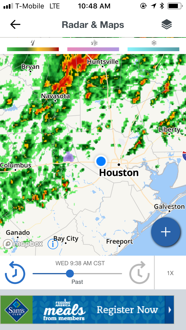
Houston, TX radar, during the early afternoon.

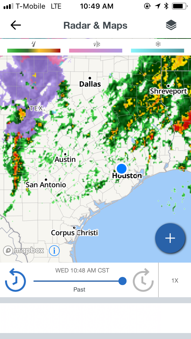
Houston, TX radar, during the mid-afternoon.

Houston, TX radar, during the late afternoon.

Northwest Houston, TX, during the early evening.

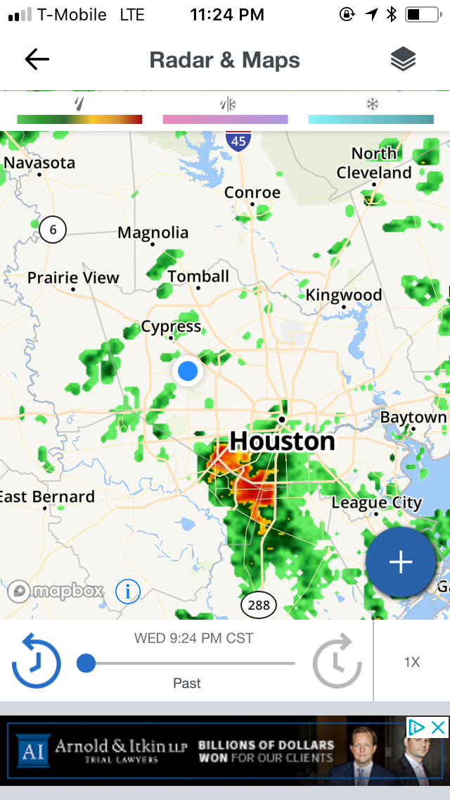
Houston, TX radar, during the late evening.

Houston, TX radar, during the late night.

Northwest Houston, TX, during the late night.
Locations: Northwest and west Houston, TX, and the Galleria area of Houston, TX.
Thoughts: The day was mostly cloudy and warm with some light to moderate and moderately heavy showers, during the afternoon and evening.