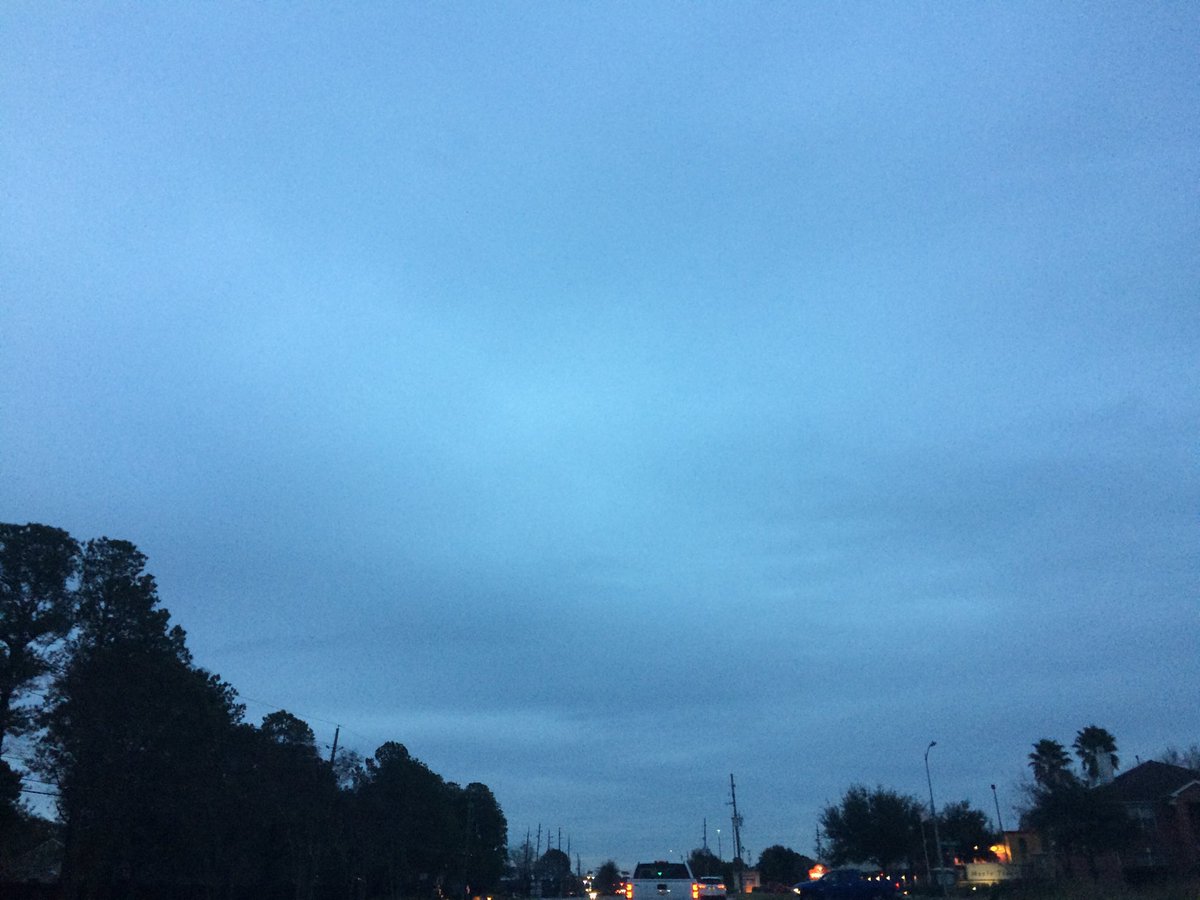
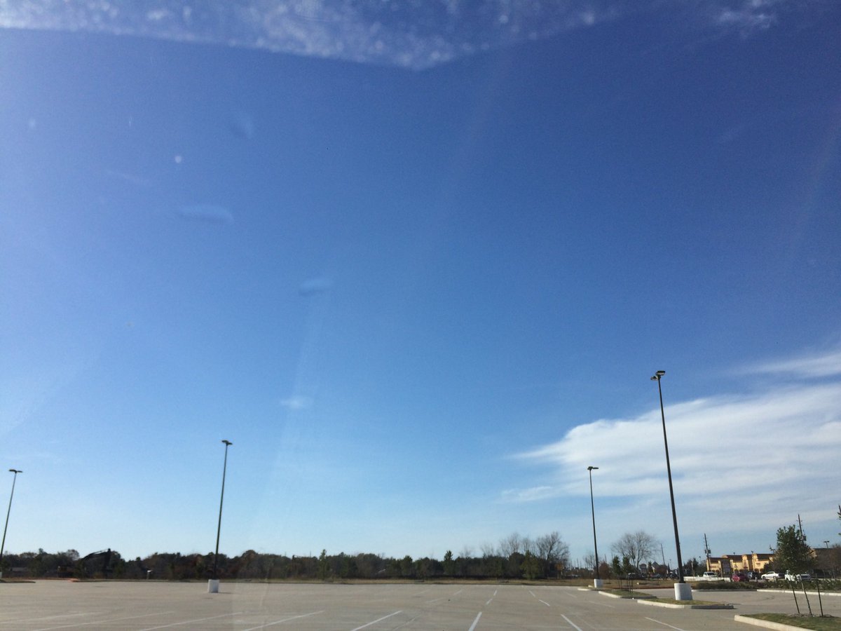
Northwest Houston, TX, during the early morning.
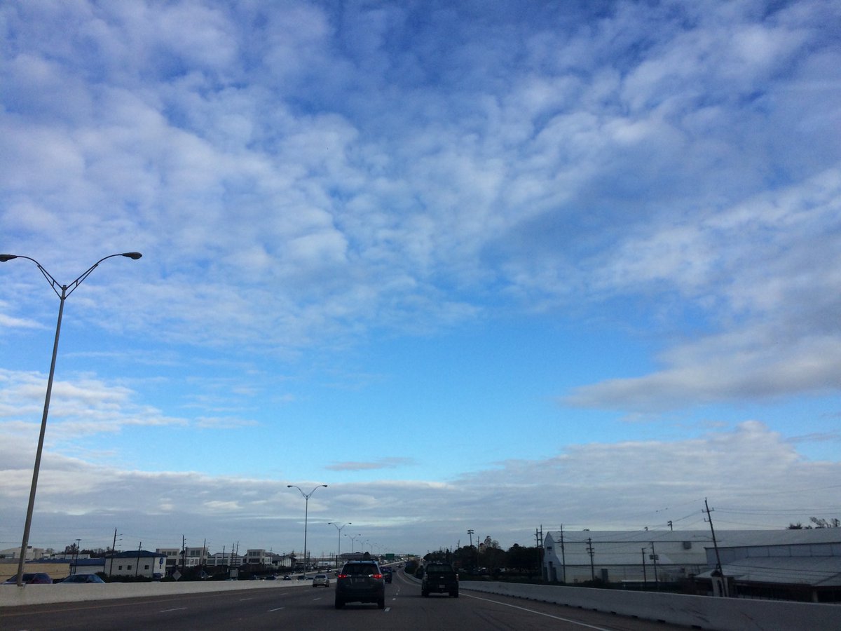
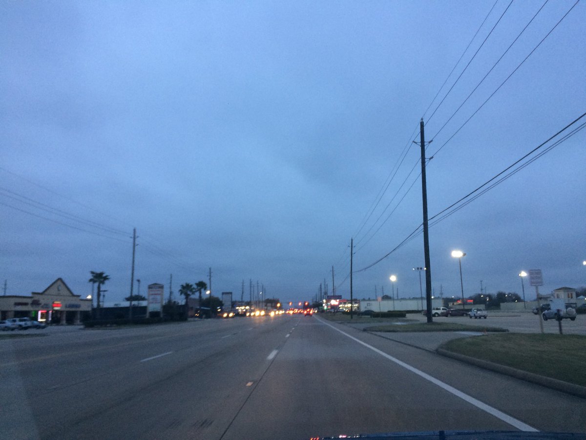
Tully road in west Houston, TX, during the early afternoon.
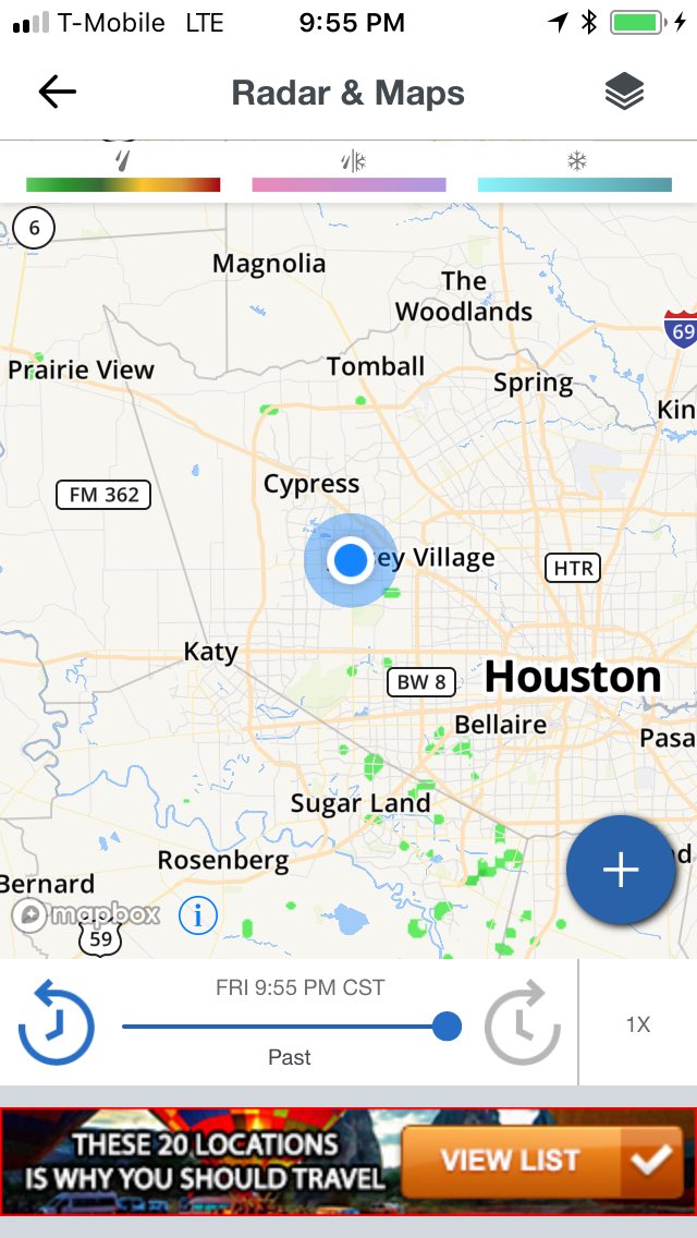
Houston, TX radar, during the early afternoon.
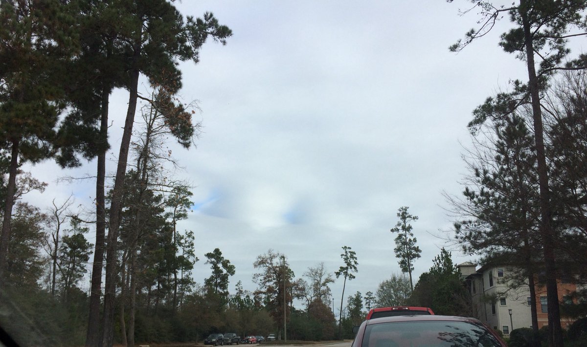
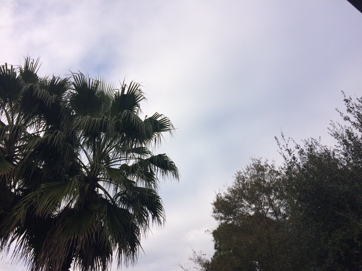
Northwest Houston, TX, during the late afternoon.
Houston, TX radar, during the early evening.
Northwest, or maybe north Houston, TX, during the early night.
Near the galleria, in Houston, TX, during the early night.
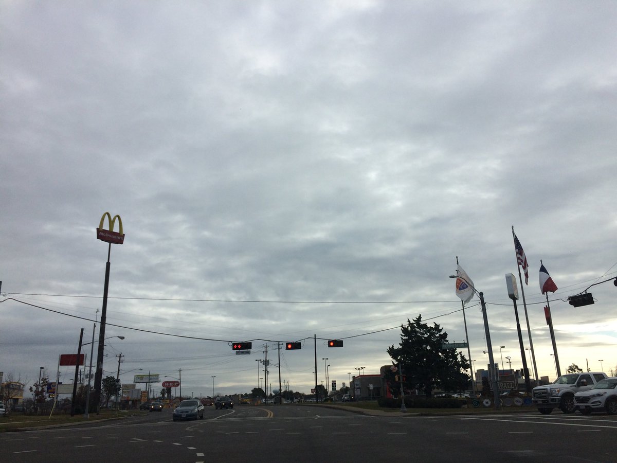
Summary: The day was very cool, wet, and cloudy. Light to moderate and moderately heavy rain and drizzle fell off and on in the Houston, TX area, during the morning, afternoon, evening, and night. I saw light to moderate and moderately heavy rain and drizzle, where I was in Houston, TX, during the morning, afternoon, evening, and night. Thick, light to dark grey stratus clouds looked to cover the whole sky, during the morning, afternoon, evening, and night. The wind speeds looked to be calm with maybe some gentle to moderate gusts and some moderately strong gusts. I think it felt cold, during the morning. I think it felt very cool, during the afternoon and evening. It felt cold, during the early night. It felt cold, maybe very cold, during the night. There were no watches, warnings, alerts, advisories, or weather statements/outlooks issued for the Houston, TX area, that I know of. The low temperatures looked to be in the low 40's and the high temperatures looked to be in the low 40's with maybe some mid 40's, for the Houston, TX area.
Houston, TX Storm Summary: Light to moderate and moderately heavy rain and drizzle fell off and on in the Houston, TX area, during the morning, afternoon, evening, and night. I didn't see, or hear about any flooding, or damage caused by the weather, at any of the locations in the Houston, TX area.
My Storm Summary: I saw light to moderate and moderately heavy rain and drizzle, where I was in Houston, TX, during the morning, afternoon, evening, and night. I saw wet roads, small to big puddles, and wet ground. I didn't see any flashes lightning, or hear any rumbles of thunder. I didn't see any flooding, or damage caused by the weather.
Locations: Northwest and west Houston, TX/
Thoughts; Lots of rain and cool weather. Typical winter weather for the Houston, TX area.
Area Forecast Discussion
Issued by NWS Houston/Galveston, TX
207
FXUS64 KHGX 272348
AFDHGX

Area Forecast Discussion
National Weather Service Houston/Galveston TX
548 PM CST Wed Dec 27 2017

.AVIATION...
A mix of mainly MVFR/IFR ceilings and visibilities is expected overnight.
Some improvement is possible overnight up north (CLL/UTS areas) and
then south of there during the day tomorrow. Radar is showing most
activity now east of our area TAF sites, but some -RA and/or -DZ
could linger around this evening and maybe even into the day tomorrow
especially at/near the coast. 00Z TAFs have NNE to NE winds at 5 to
10 knots inland and 10 to 15 knots at the coast.  42
&&

.PREV DISCUSSION... /ISSUED 356 PM CST Wed Dec 27 2017/

NEAR TERM [Through Tonight]...

Radar continues to show pockets of light rain and drizzle across
SE Texas. High pressure centered over the Midwest extends into
Texas with the cold front out in the central Gulf. Upper air
analysis at 850mb for 12Z shows southwest winds and VAD winds from
the 88D show this flow contributing to isentropic lift supporting
the light rain and drizzle. As a result temperatures have
remained fairly steady in the 40s. Low temperatures overnight into
Thursday may drop into the 30s but cloud cover will limit
radiational cooling. Light rain should be ending overnight.

SHORT TERM [Thursday Through Friday Night]...

Warm air advection through the boundary layer should allow for
temperatures to moderate some and isentropic lift will continue as
a result. Forecast keeps most of the rain chances in the Gulf
waters but rain chances increase Friday into Saturday as warm air
advection and moisture advection increases. Overall this remains
the moist consistent part of the forecast between the models and
hence the most forecast confidence.

LONG TERM [Saturday Through Wednesday]...

This is where the "fun" begins. Saturday may be the "warm" day of
the forecast. Canadian front still on track to push into the area
late Sunday so even on Sunday there may be near normal
temperatures in the low 60s. Ahead of the front there may be
enough warm air advection and moisture advection to support
surface based convection. There should be enough capping from the
elevated mixed layer to limit thunderstorm activity ahead of the
front. Front moves through 12Z Sunday for KCLL and then off the
coast by 00Z Monday. Strong cold air advection is expected 00Z
Monday to 00Z Tuesday. This is when the forecast is a challenge
and the most uncertain.

1 - model differences really pertain to timing of the front and
moisture riding over the shallow frontal surface. The GFS and
ECMWF are most similar in this regard so this at least provides
some confidence that any precipitation will clear out by 18Z
Monday. Boundary layer really dries out after 00Z Tuesday in both
models so think that should end precipitation for the rest of the
week. The problem comes with any weak short wave troughs that the
models do not resolve. GFS and ECMWF show one wave coming across
in the the time frame of interest but relatively weak. The
Canadian shows this wave and then a much stronger trough coming
down the plains on Tuesday. The GFS/ECMWF treat this very
differently so there may be some midlevel moisture to cause
precipitation but again boundary layer should remain dry.

2 - Moisture...already covered this somewhat in section above but
there appears to be a small window where there is moisture over
the frontal surface 03Z to 15Z Monday for precipitation. Model
soundings support saturation from 750mb down to 950mb from 06-12Z
Monday. After that the cold airmass deepens with much drier air
filtering into the region.

3 - Lift...based on GFS/ECMWF there is a weak short wave moving
across the area 06Z-18Z Monday in which there will be some weak
large scale ascent. Cross sections through the frontal surface
from 06Z to 12Z Monday show frontogenetic lift along with some
pockets of CSI. Quite possible there could be some banded
precipitation with the front. After that downward motion takes
over until Tuesday but by the time the next area of ascent moves
over the region, boundary layer moisture looks to be rather
limited.

4 - Temperatures...Cold advection should be strong during the
period and expect temperatures to drop below freezing by Monday
morning. Tuesday morning should be the coldest morning with
temperatures in the 20s. But from 06-12Z Monday, temperatures
mainly north of Harris county will drop below freezing.
Temperatures do increase above freezing during the day Monday but
that increase may be limited by cloud cover. In the end, there
will be a race between freezing temperatures, moisture and lift to
generate frozen precipitation across portions of SE Texas.

5 - Precipitation Type...assuming that the ingredients of
moisture, temperatures and lift come together, top down sounding
analysis shows temperature/moisture profiles will likely support
rain and drizzle. There is a small window when freezing
rain/drizzle will be possible mainly from 06Z to 12Z. Think that
the area outlined in the previous forecast still holds true so
will continue to mention a mix of rain/freezing rain north of a
Brenham/Conroe/Livingston line. Given the relatively low
probabilities of occurrence due to the reasons outlined above,
will also keep out any mention of ice accumulations. This also
give some flexibility to change the forecast as model solutions
change and evolve.

Overpeck

MARINE...

Will extend the SCA into the evening with winds & seas still within
criteria. Think we should be able to taper it down overnight. Winds
will subside on Thursday and veer to the east by Friday as surface
high pressure over the southern Great Lakes shifts east and a weak
trough of low pressure begins to develop in the lee of the Rockies.
A strong cold front will cross the coastal waters Sunday night and a
strong NNE wind will develop in the wake of the front. Another SCA
will be required at that time...and quite possibly a gale warning.
47

&&

.PRELIMINARY POINT TEMPS/POPS...
College Station (CLL)      36  46  36  53  45 /  10  10  10  10  20
Houston (IAH)              37  47  38  53  46 /  20  10  20  10  20
Galveston (GLS)            41  48  44  53  51 /  20  10  20  10  20

&&

.HGX WATCHES/WARNINGS/ADVISORIES...
TX...NONE.
GM...Small Craft Advisory until 9 PM CST this evening for the
     following zones: Coastal waters from Freeport to the
     Matagorda Ship Channel out 20 NM...Coastal waters from High
     Island to Freeport out 20 NM.

     Small Craft Advisory until midnight CST tonight for the
     following zones: Waters from Freeport to the Matagorda Ship
     Channel from 20 to 60 NM...Waters from High Island to
     Freeport from 20 to 60 NM.

&&

$$