Houston, TX Fire Weather Alert.
Northwest Houston, TX, on the way to my groomer's home in the Woodlands, TX area, during the mid-morning.
Tomball, TX, on the way to my groomer's home in the Woodlands, TX area, during the late morning.
Houston, TX radar, during the early afternoon.
The Woodlands, TX area, at my groomer's home, during the early evening.
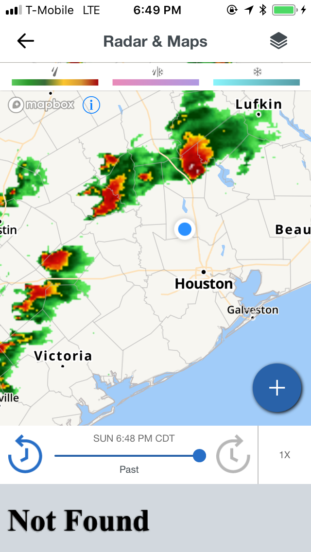
Houston, TX radar, during the early evening.
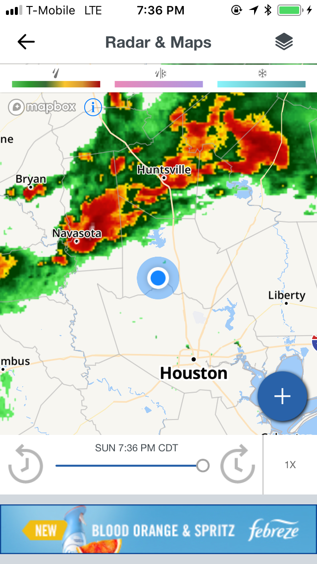
Houston, TX radar, during the late evening.
The Woodlands, TX area, at my groomer's home, during the late evening.
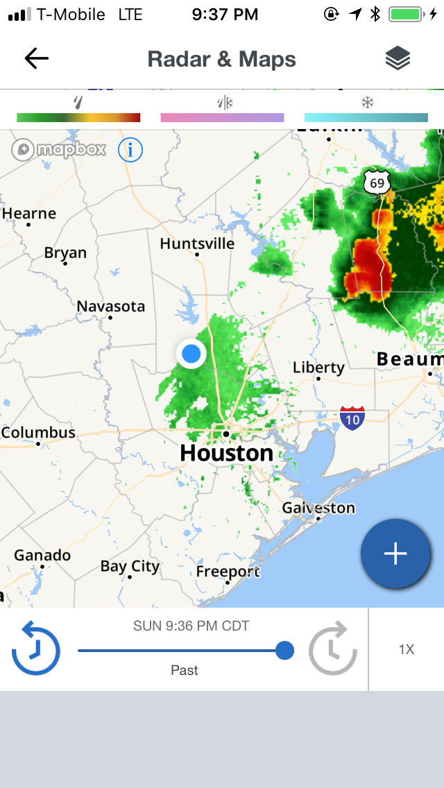
Houston, TX radar, during the early night.
Locations: Northwest Houston, TX, Tomball, TX, Spring, TX, and maybe north Houston, TX, Cypress, TX, Klien, TX, and The Woodlands, TX.
Thoughts: The day was mostly cloudy and dry. A line of heavy thunderstorms looked like it was going to pass over where I was in the Woodlands, TX area, during the early night, but it passed right over me. I did see some flashes of lightning and heard some distant low rumbles of thunder, where I was in the Woodlands, TX, during the early night and maybe evening.