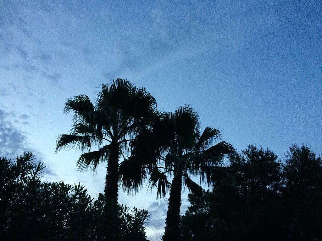
Northwest Houston, TX, during the late evening.
Summary: The day was warm, mostly cloudy, and dry. Maybe some rain. There looked to be some isolated light showers on TWC's Houston, TX radar, when I looked sometime during the afternoon. I didn't see, feel, or hear any rain drops. Alto stratus, alto stratocumulus clouds and stratocumulus clouds looked to cover most of the sky during the morning, afternoon, and early evening. Alto stratus and maybe some alto stratocumulus clouds looked to be widely scattered across the sky during the late evening. The wind speeds looked to be calm with moderate to moderately strong gusts with some really strong gusts. It felt warm during the morning, late evening, and night. It felt very warm during the early evening. It felt hot during the afternoon. There was a hazardous weather statement issued for the Houston, TX area by NOAA, for today. There were no other watches, warnings, alerts, weather statements, or advisories issued for the Houston, TX area, that I know of. The low temps looked to be in the 70's and the high temps looked to be in the 90's, for the Houston, TX area.
Locations: Northwest Houston, TX.
Thoughts: Well there is a tropical system developing in the Gulf of Mexico. I am interested to see what happens. I am hoping Houston, TX will get some rain from it.
Hazardous Weather Outlook
Hazardous Weather Outlook
National Weather Service Houston/Galveston TX
440 PM CDT Sun Jun 18 2017

TXZ163-164-176>179-195>200-210>214-226-227-235>238-192145-
Austin-Brazoria-Brazos-Burleson-Chambers-Colorado-Fort Bend-
Galveston-Grimes-Harris-Houston-Jackson-Liberty-Madison-Matagorda-
Montgomery-Polk-San Jacinto-Trinity-Walker-Waller-Washington-
Wharton-
440 PM CDT Sun Jun 18 2017

This hazardous weather outlook is for portions of Southeast Texas..

.DAY ONE...Tonight

Peak heat index values in the 100 to 106 range will be possible
through early evening.

A high risk of rip currents will also exist along Gulf-facing
beaches through this evening.

.DAYS TWO THROUGH SEVEN...Monday through Saturday

Elevated tides and an enhanced rip current risk may develop along
Gulf-facing beaches by the middle of this week if a tropical
system does develop in the Gulf of Mexico.

.SPOTTER INFORMATION STATEMENT...

Spotter activation will not be needed.

$$
Area Forecast Discussion
Issued by NWS Houston/Galveston, TX

000
FXUS64 KHGX 182327
AFDHGX

Area Forecast Discussion
National Weather Service Houston/Galveston TX
627 PM CDT Sun Jun 18 2017

.AVIATION...
Mainly VFR conditions through 05z with MVFR cigs possible later
tonight into early Monday. Cigs will scatter out after 15z Monday
with generally VFR conds for Monday afternoon. A weak front over
North Texas will approach SE TX in the afternoon and the gradient
will become weak with a light wind shift to the W-SW. Fcst
soundings for 00-03z show PW values surging to 2.00 inches with
some instability. The combination of the front and this
instability should foster some showers and thunderstorms late
Monday into Monday night. Have added VCTS for southern TAF sites
for late in the TAF period. 43

&&

.PREV DISCUSSION... /ISSUED 331 PM CDT Sun Jun 18 2017/

DISCUSSION...
Tonight and Monday...mesoscale models suggest possibility of a
complex of showers and thunderstorms developing over OK or NE
Texas overnight then dropping southward toward northern portions
of the forecast area very late tonight or Monday morning. Airmass
more capped this far south and unclear how far it will make it
into the forecast area...but have shower chances in Houston County
overnight...in line with surrounding zones...then Monday for
mainly northern half of CWA. Cold front is forecast to approach
from the north but stall out before quite making it into the area.

TROPICAL...
Tuesday and beyond forecast becomes increasingly dependent on
system now over western Carribean Sea forecast by all the models
to become better organized as it moves N or NW and emerges into
the Gulf of Mexico. NHC gives this system a 70 percent chance of
becoming a tropical cyclone over the next 48 hours and a 90
percent chance over the next 5 days. The track forecast for this
system is very complicated. An upper level trough over western
Gulf...as seen in model progs and water vapor imagery...will tend
to draw the system north perhaps toward the northern Gulf coast
and impose shear on the system. However there is some
indication...especially in latest runs...of this upper trough
becoming more cut off with steering currents then guiding the
system more toward the west on the northern flank of this cut off
low and with 500 mb ridge to the north. ECMWF...GFS...Canadian...
have all trended farther west with their tracks today perhaps due
to the handling of these features. Based on todays trends Texas
coast could see some impacts as early as late Wednesday or
Thursday. That said with complicated steering pattern and still no
well defined low center there remains much uncertainty in the
track of this system and all will need to continue to monitor. A
track to the east would mean little impact. As far as strength of
system...shear over Western Gulf and available intensity guidance
would suggest most likely no stronger than a tropical storm but
will have more information on forecast intensity from the National
Hurricane Center when and if the tropical cyclone forms. 18

MARINE...
A weaker pressure gradient has helped to lower winds this afternoon
but seas have remained slightly elevated. However will be expecting
things to continue to quiet down tonight and will let the SCEC
expire as planned. Generally light SE winds on Mon will be
transitioning to a E/NE flow by Tue/Wed as the tropical
disturbance currently near the Yucatan finally makes its move into
the central Gulf. There is still a lot of uncertainty with the
eventual track of this system with much of the US Gulf coast in
play. Mariners/marine int- erests should stay up to date with the
latest information with this system. 41

&&

.PRELIMINARY POINT TEMPS/POPS...
College Station (CLL)      76  94  75  94  73 /  10  20  10  10  10
Houston (IAH)              77  95  75  95  73 /  10  20  10  20  10
Galveston (GLS)            81  90  80  90  79 /  10  10  10  20  20

&&

.HGX WATCHES/WARNINGS/ADVISORIES...
TX...High Rip Current Risk until 10 PM CDT this evening for the
     following zones: Brazoria...Chambers...Galveston...
     Matagorda.

GM...SMALL CRAFT SHOULD EXERCISE CAUTION until 10 PM CDT this evening
     for the following zones: Coastal waters from Freeport to
     the Matagorda Ship Channel out 20 NM...Coastal waters from
     High Island to Freeport out 20 NM...Waters from Freeport to
     the Matagorda Ship Channel from 20 to 60 NM...Waters from
     High Island to Freeport from 20 to 60 NM.

&&

$$

Discussion...14
Aviation/Marine...43
No comments:
Post a Comment