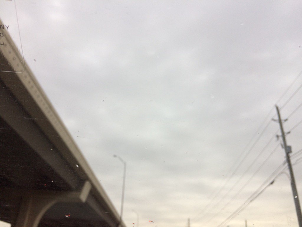
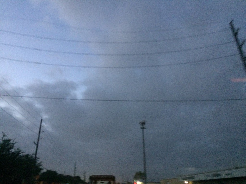
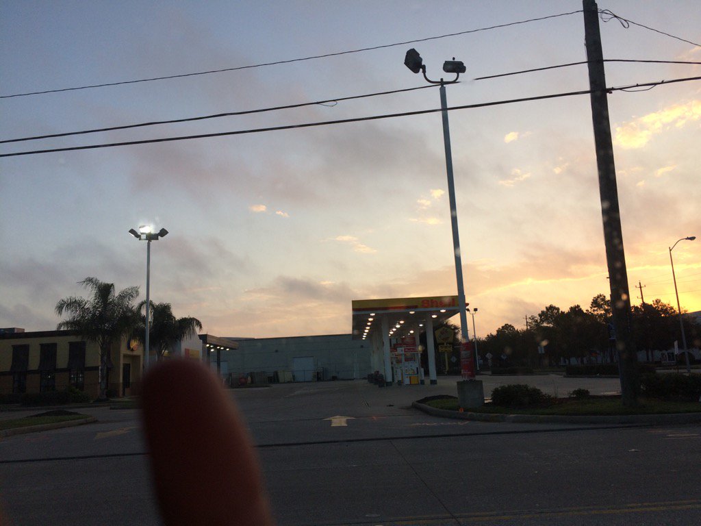
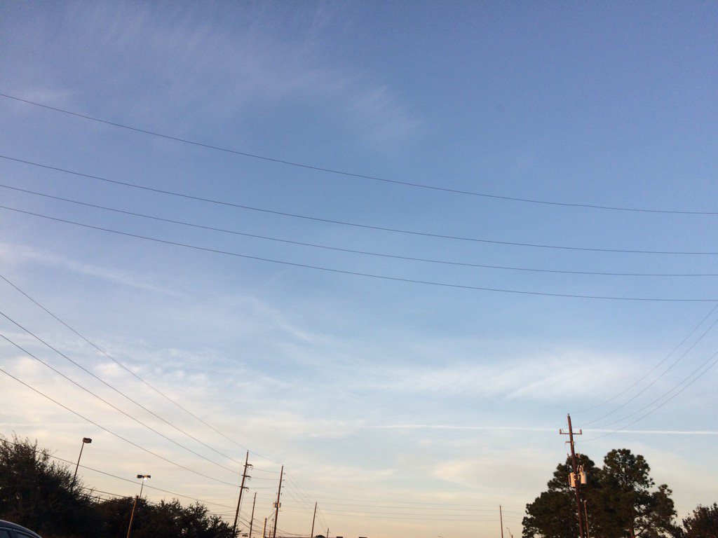
Northwest Houston, TX during the early morning.
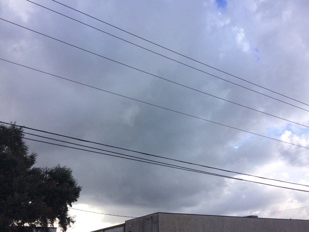
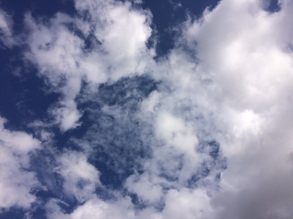
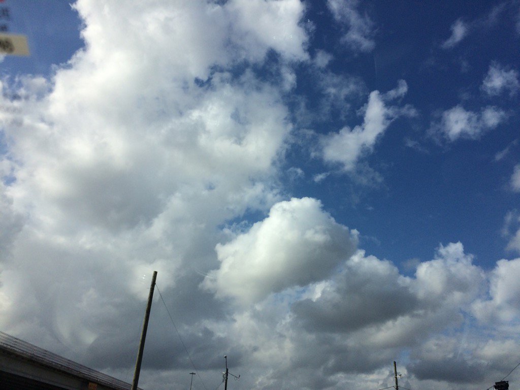
West Houston, TX during the early afternoon.
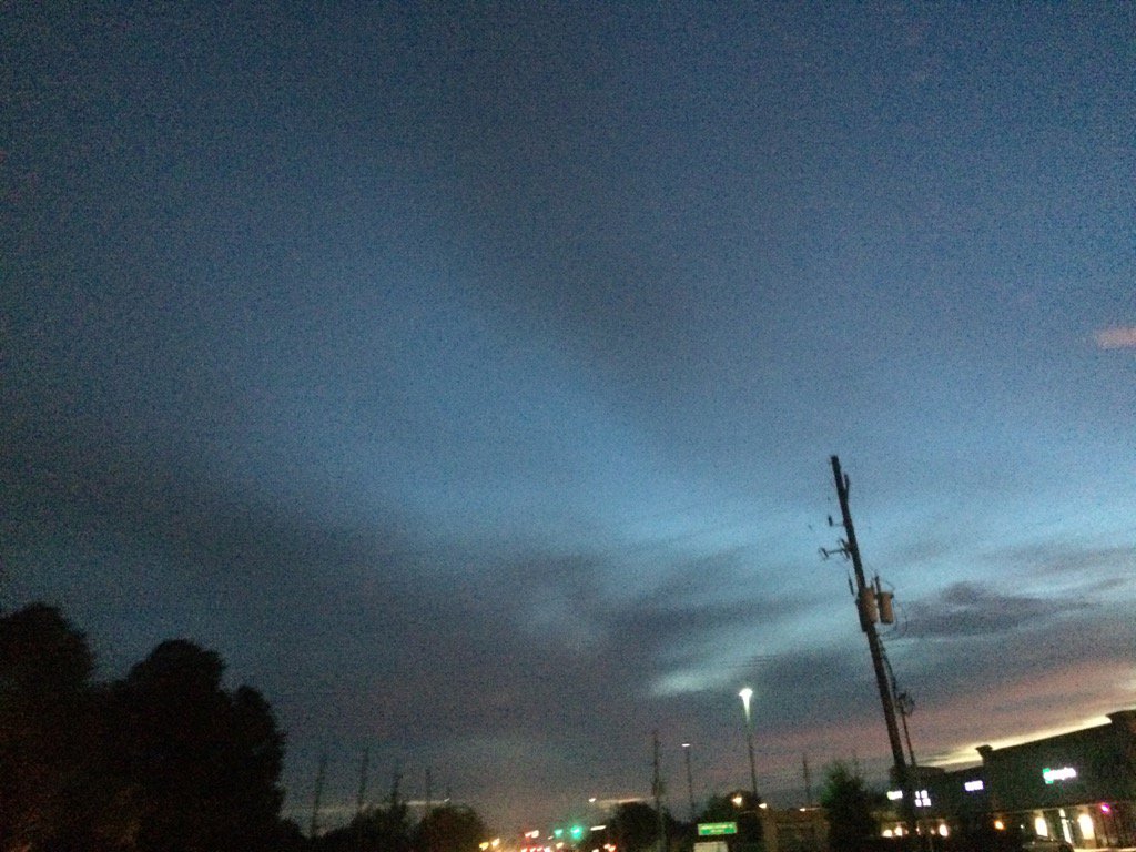
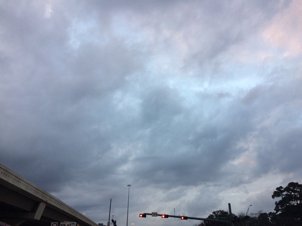
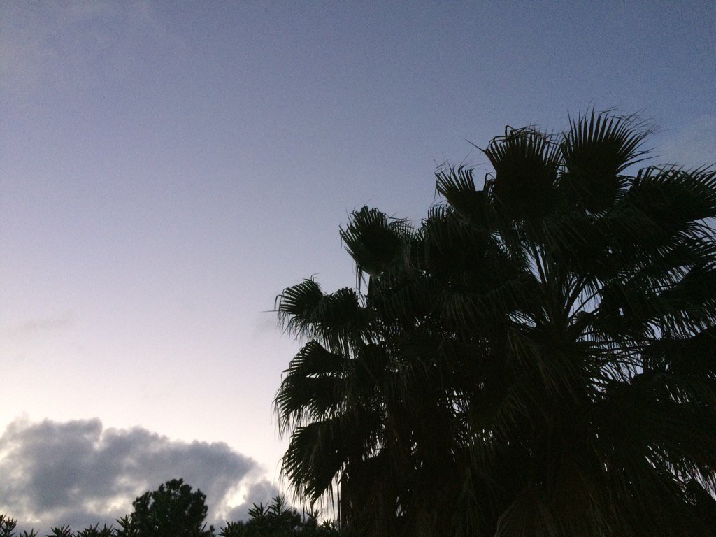
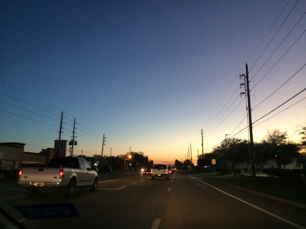
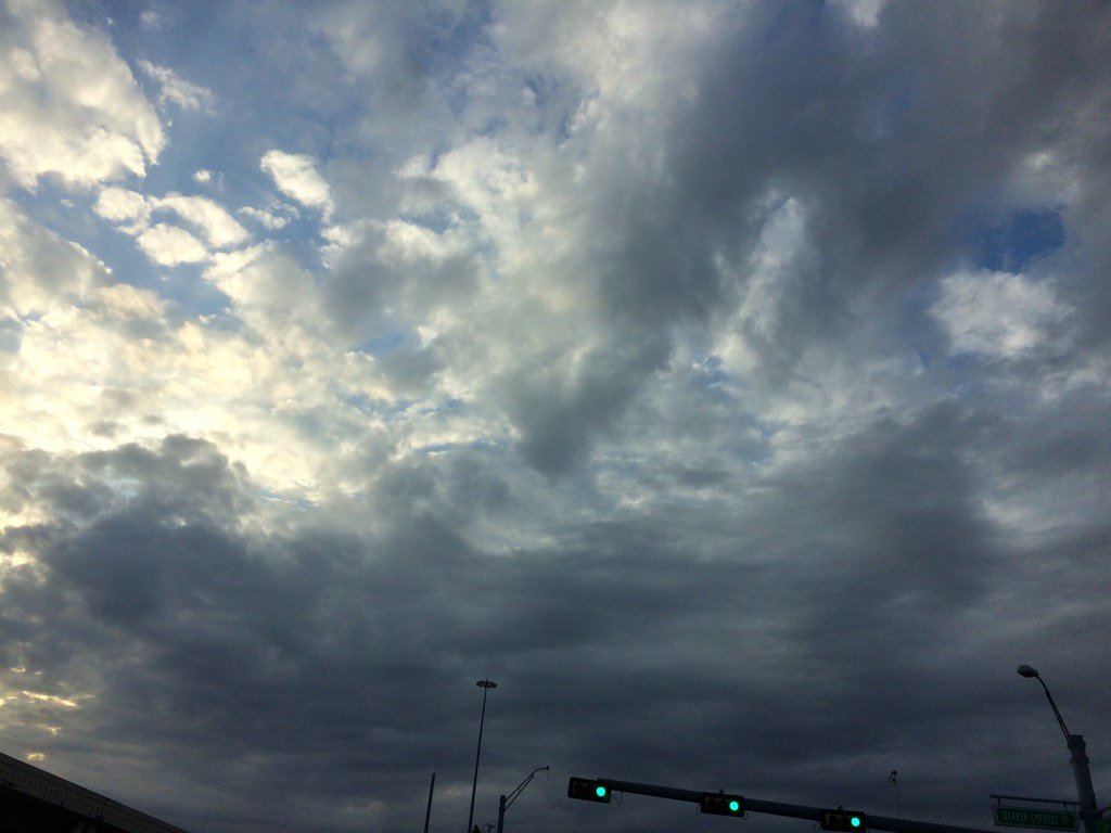
West Houston, TX during the early evening.
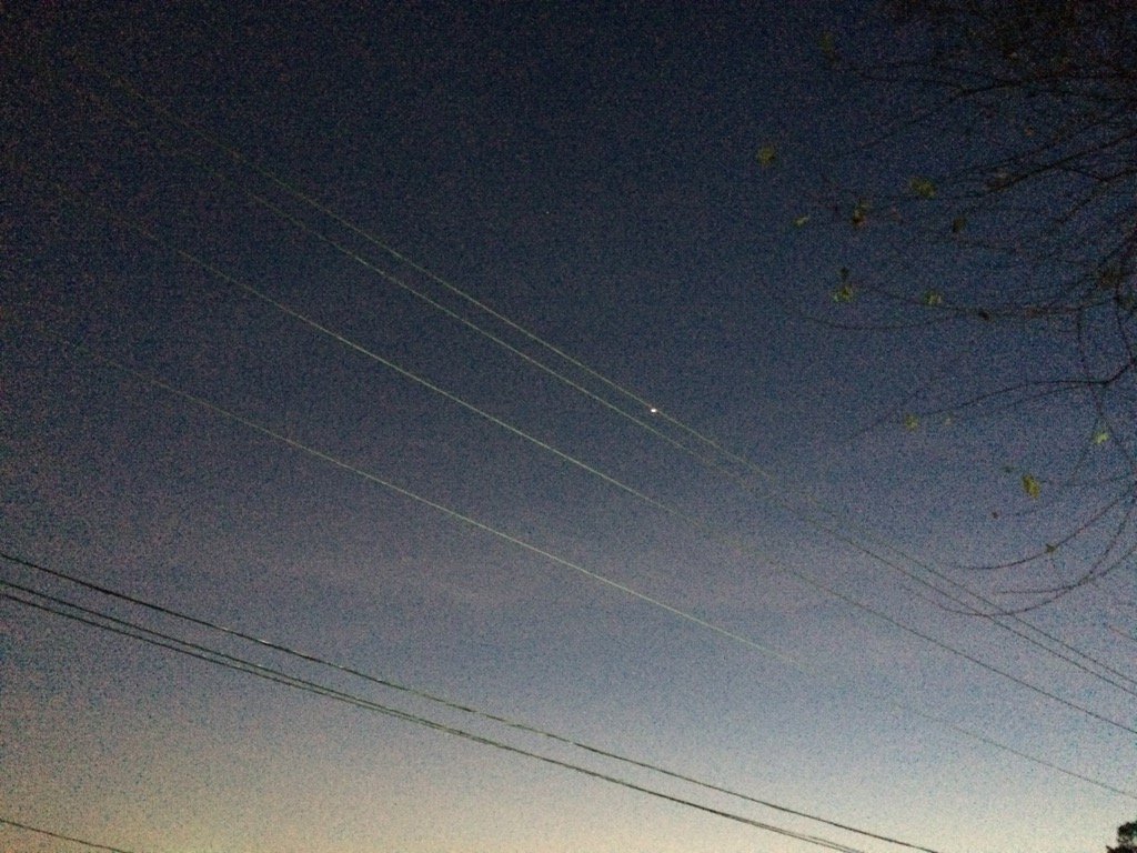
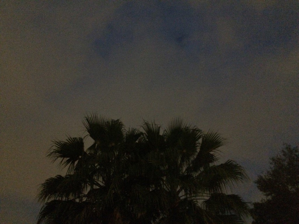
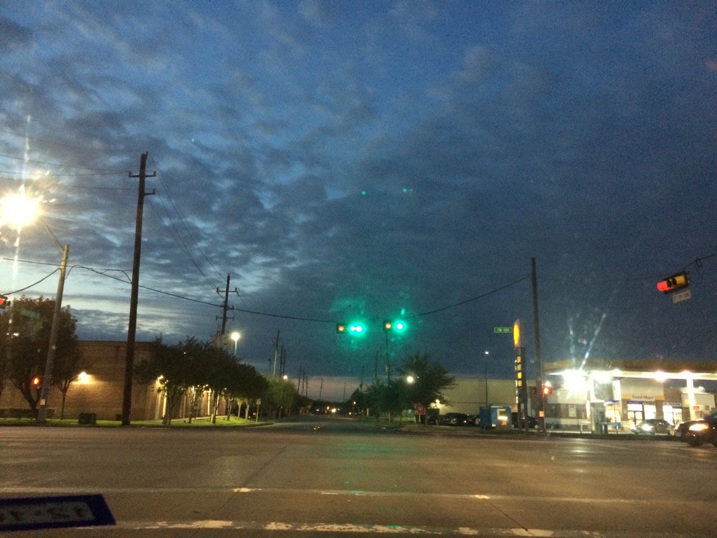
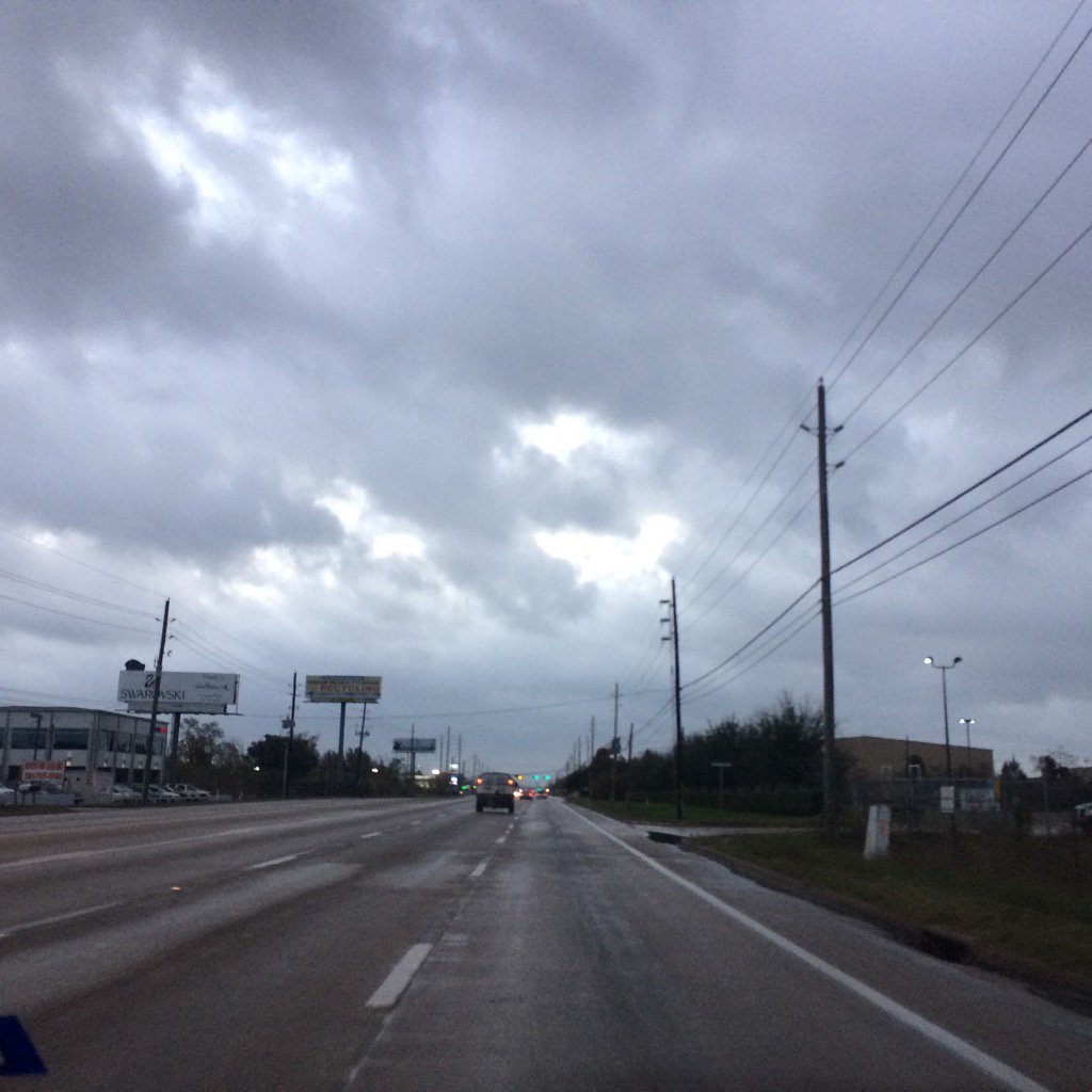
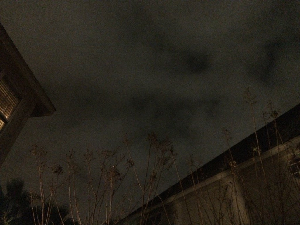
Northwest Houston, TX, during the early night, before the thunderstorm.
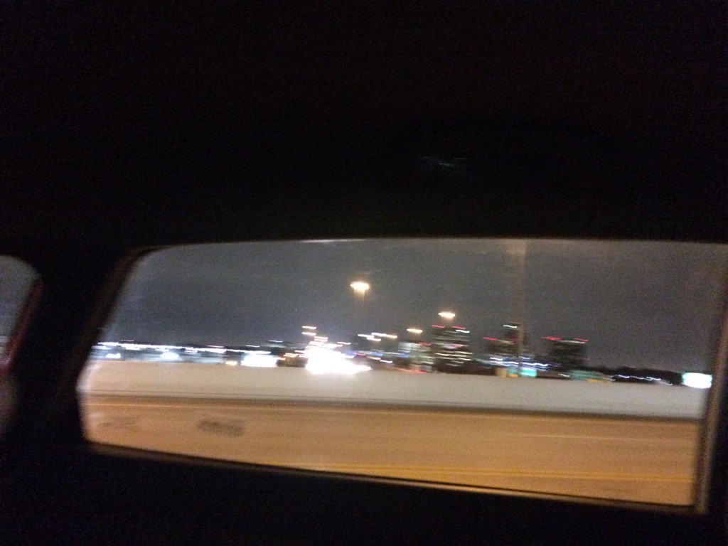
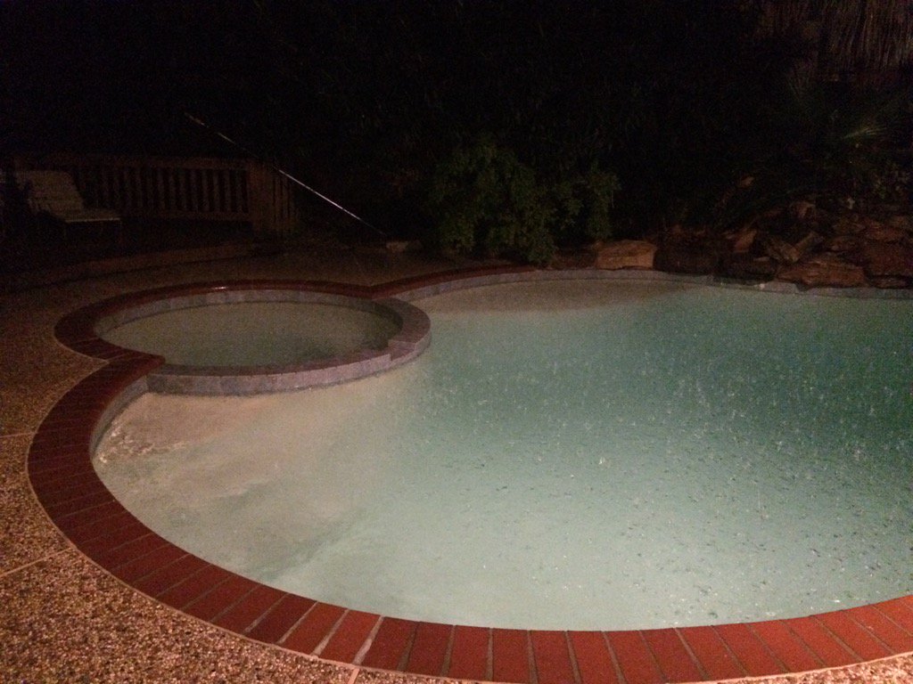
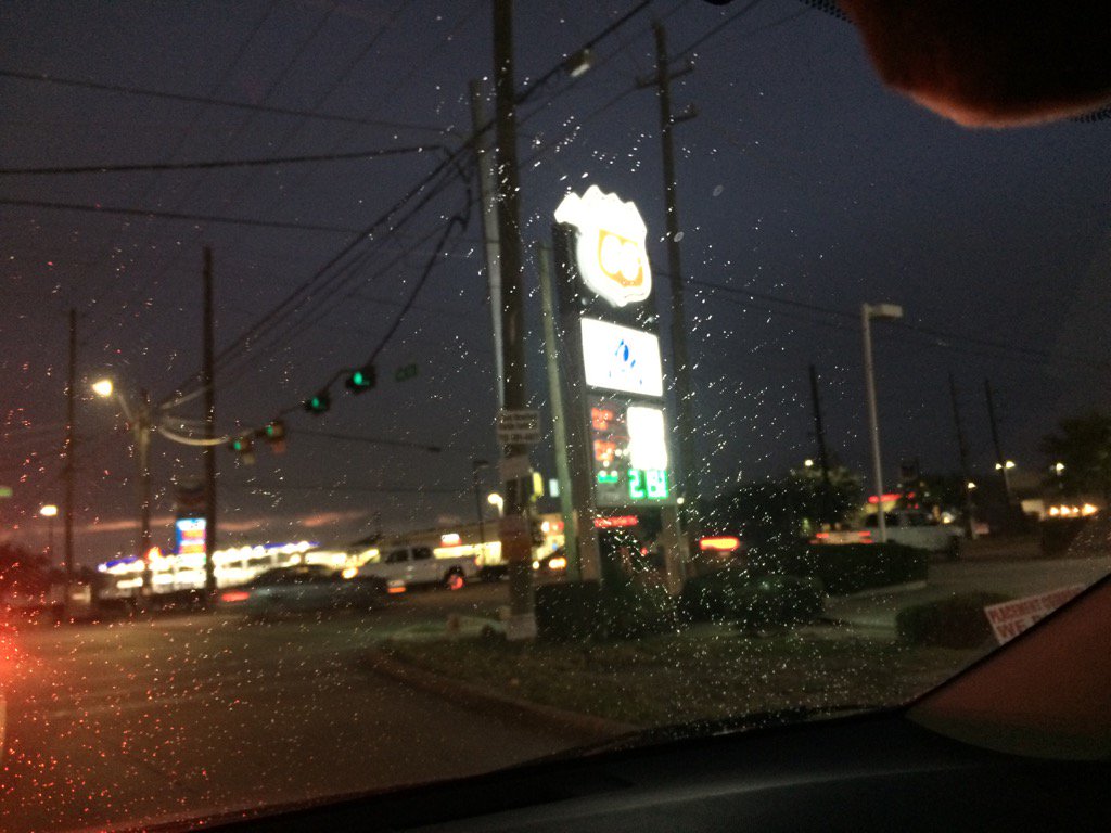
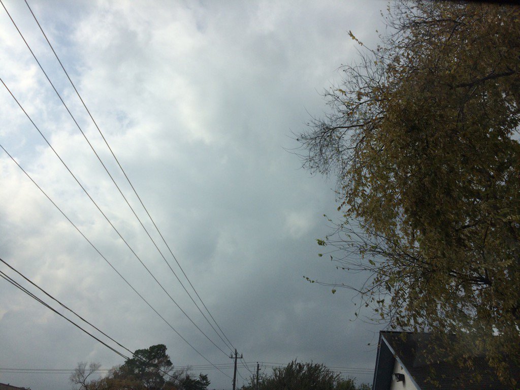
Northwest Houston, TX, during the early night, during the thunderstorm.
Notes: Big to small, bright white, most bright white mixed with light to dark grey, or blueish grey, thick, flat, puffy, low stratus clouds looked to cover most and maybe sometimes the whole sky in northwest and west Houston, TX during the early morning. Big to small, bright white, most bright white mixed with light to dark grey, or blueish grey, thick, flat, puffy, low stratus clouds looked to cover most and maybe sometimes the whole sky in west Houston, TX during the mid and late morning, afternoon, and early evening. Big to small, bright white, most bright white mixed with light to dark grey, or blueish grey, thick, flat, puffy, low stratus clouds looked to cover most and maybe sometimes the whole sky in northwest and west Houston, TX during the late evening. Big to small, bright white, some bright white mixed with light to dark grey, thick, flat, puffy, low stratus clouds looked to cover most and sometimes the whole sky in northwest Houston, TX during early night. The wind speeds looked to be calm with maybe some moderate to moderately strong gusts in northwest and west Houston, TX during the early morning. The wind speeds looked to be calm with maybe some moderate to moderately strong gusts in west Houston, TX during the mid and late morning, afternoon, and early evening. The wind speeds looked to be calm with maybe some moderate to moderately strong gusts in northwest and west Houston, TX during the early night. It felt warm in northwest and west Houston, TX during the early morning. It felt warm in west Houston, TX during the mid and late morning. It started to feel hot in west Houston, TX during the early afternoon. It felt hot in west Houston, TX during the mid-afternoon. It started to feel warm in west Houston, TX during the late afternoon. It felt warm in west Houston, TX during the early evening. It felt warm in northwest and west Houston, TX during the night. There looked to be a light dense fog in the skyline in west Houston, TX during the early morning. Some light sprinkles feel in west Houston, TX, where I was, during the morning, afternoon, and early evening. A big line of light to really heavy rain passed through the Houston, TX during the early night. Light to really heavy rain passed over my house in northwest Houston, TX and lasted for about 30 minutes. I also heard a couple of long distant rumbles of thunder during the heavy rain. There looked to have been a flash flood watch, or maybe warning issued with the line of showers and thunderstorms. I don't know if any area in Houston, TX had any flooding problems. I didn't hear about, or see any damages. There were just big puddles of water at my house.
Thoughts: I enjoyed seeing that heavy rain. It has been hot again today. It is really feeling like spring, rather than winter. I almost feel like it is April, or maybe early May. More record highs broken. It looks like Houston, TX is going to get some cold weather soon.
Area Forecast Discussion
Issued by NWS Houston/Galveston, TX
000
FXUS64 KHGX 280310
AFDHGX

Area Forecast Discussion
National Weather Service Houston/Galveston TX
910 PM CST Tue Dec 27 2016

.DISCUSSION...
A weak cold front moved into SE TX earlier today and stalled near
a De Ridder LA to Tomball to north of Hondo. The front brought a
narrow line of storms to the area earlier this evening with parts
of Harris County getting 1 to 2 inches of rain. The cold front
appears to be transitioning to a warm front as pressures drop in
SE Colorado. The developing warm front will likely move north
overnight with light south winds areawide by 07z. Surface dew
points will remain in the upper 60s south of I-10 and warm back
into the upper 60s north of I-10. Min temperatures are going to be
tricky as lows may come this evening and warm over the north and
remain nearly steady over the south. Bumped min temps up a few
degrees near the coast and lowered a few degrees in the far NE
zones.

The fog threat will remain high tonight especially near the coast.
Water temps are in the lower 60s and sfc dew pts flowing over the
water are near 70. Conditions still look favorable for dense fog
over the Gulf and adjacent bays and adjacent land. How far will
the fog move inland? The HRRR and SREF confine dense fog to the
coast with low ceilings further inland. With sfc winds so light,
am leaning toward dense fog developing further inland. Not quite
ready just yet to issue a Dense Fog Advisory further inland but at
this time, am leaning toward adding Harris, Liberty and Ft Bend to
the current advisory later tonight. 43

&&

.CLIMATE...
The records just keep falling. Bush IAH reached 83 degrees today
and this is the 4th consecutive day with temperatures at or above
80 degrees. Although having 4 consecutive days at or above 80 has
happened before, it has never happened so late in the month
before. FWIW, there was a streak of 5 consecutive days with temps
AOA 80 degrees back in 1998 (3rd thru 7th). The most 80 degree
days in December was 10 days back in 2012 and the 5 occurrences of
80 degree heat so far this month is tied for 6th all time. The 83
degrees today beat the old record of 81 set in 1971. Galveston
also set a high temp record today and has established six new high
temperature records this month. 43


.PREV DISCUSSION... /ISSUED 548 PM CST Tue Dec 27 2016/

AVIATION...
Sea fog was already affecting KGLS and the guidance/models are
strongly suggesting LIFR at KGLS through tonight into tomorrow
afternoon. There was some indications in the forecast data that
there could be some improvement at KGLS late morning into the
early afternoon.

Elsewhere, a seabreeze has moved inland past KHOU and KSGR and
should move into the KIAH area by 00Z this evening. The HRRR and
RAP13 both showed some chances for showers through at least around
03Z. Ceilings and visibility should then lower with the lowest
visibility from KLBX to KCXO developing between 04Z and 10Z. A
frontal boundary will move into the KCLL and KUTS areas and help
provide an environment for a low visibility of 1/2 to 1 nm by
around 11Z.

Then expecting basically a repeat of today where the low
visibility lifted by mid morning. Model forecast soundings and
time sections of relative humidity with height showed decent
chances for the ceiling to lift to at least a brief period of VFR
during the mid to late afternoon period for most sites inland of
KGLS.

40

PREV DISCUSSION... /ISSUED 317 PM CST Tue Dec 27 2016/

DISCUSSION...
Unseasonable warm humid conditions continue for much of the
forecast area...especially southern two thirds where dewpoints are in
the 60s and lower 70s. Max temperatures in record territory with
records broken at HOU and IAH...and highs AOA 80 many other
locations excluding right at the coast where its a bit cooler and
foggier...and over northern third of forecast area which is north
of a weak stationary front. At Crockett for example currently have
70 degrees with a more comfortable 55 dewpoint. Webcams out of
Galveston and satellite imagery suggest sea fog still prevalent at
the coast although appears to be breaking up some and becoming
more patchy over Galveston and Matagorda Bay...for the time being.

Tonight expect sea fog to again become widespread and push inland
into coastal counties with radiational cooling also contributing
to fog formation inland. As a result expect dense fog again for at
least coastal tier of counties and adjacent waters...and likely at
least another row inland much like we had this morning. Spotty
showers on radar now will continue into the evening...then an
isolated shower cant be ruled out near the east to west orienting
stationary front bisecting the forecast area. On Wednesday front
lifts north as a warm front with much of the area again seen warm
humid conditions. Wouldn`t be surprised to see 80+ degrees once
again at some sites.

Change in the weather on tap for Wed night and Thursday as a cold
front pushes from NW to SE across the area. Moisture and
instability limited with this front and not expecting much more
than a few showers with its passage. Much cooler less humid
conditions are then on tap for Thursday and Friday as front
pushes offshore and high pressure builds in.

Onshore flow kicks in again Friday night bringing more humid air
mass back into the area. Strong low level warm air advection and
an upper level disturbance suggest a rainy weather late Friday
night and especially Saturday. Rain looks to taper off by Sunday.
Models suggest another cold front approaching from the north by
next Tuesday so the roller coaster ride continues. 18

MARINE...
Areas of dense sea fog will be the primary weather hazard across the
bays/nearshore waters tonight through at least Weds night as a light
onshore flow prevails. The occasional periods of improved
visibilities are possible during the afternoon tomorrow around
the bays...but the fog is expected to linger just off the coast
line. Models remain on pace for a strong cold front for Thurs
morning. Strong/gusty off shore winds in the wake of the front
will likely require Small Craft Advisories/Caution flags by Thurs
afternoon into early Fri morning. However, we could see the return
of sea fog by Sat night/Sun morning with the return of onshore
winds/low level moisture. 41

&&

.PRELIMINARY POINT TEMPS/POPS...
College Station (CLL)      64  79  55  63  41 /  30  20  10  10   0
Houston (IAH)              68  79  64  66  44 /  30  20  10  10  10
Galveston (GLS)            69  72  63  68  49 /  20  10  10  20  10

&&

.HGX WATCHES/WARNINGS/ADVISORIES...
TX...Dense Fog Advisory until 9 AM CST Wednesday for the following
     zones: Brazoria...Chambers...Galveston...Matagorda.

GM...Dense Fog Advisory until noon CST Wednesday for the following
     zones: Coastal waters from Freeport to the Matagorda Ship
     Channel out 20 NM...Coastal waters from High Island to
     Freeport out 20 NM...Galveston Bay...Matagorda Bay.

&&

$$
Hazardous Weather Outlook
HAZARDOUS WEATHER OUTLOOK
NATIONAL WEATHER SERVICE HOUSTON/GALVESTON TX
541 AM CST TUE DEC 27 2016

TXZ163-164-176>179-195>200-210>214-226-227-235>238-281145-
AUSTIN-BRAZORIA-BRAZOS-BURLESON-CHAMBERS-COLORADO-FORT BEND-
GALVESTON-GRIMES-HARRIS-HOUSTON-JACKSON-LIBERTY-MADISON-MATAGORDA-
MONTGOMERY-POLK-SAN JACINTO-TRINITY-WALKER-WALLER-WASHINGTON-
WHARTON-
541 AM CST TUE DEC 27 2016

THIS HAZARDOUS WEATHER OUTLOOK IS FOR PORTIONS OF SOUTHEAST TEXAS.

...A DENSE FOG ADVISORY IS IN EFFECT FOR BRAZORIA...CHAMBERS...FORT
BEND...GALVESTON...HARRIS...JACKSON...LIBERTY...MATAGORDA...AND
WHARTON COUNTIES UNTIL 9 AM THIS MORNING...

.DAY ONE...TODAY AND TONIGHT

MORNING FOG...LOCALLY DENSE...WILL LOWER VISIBILITIES TO UNDER A
MILE DURING RUSH HOUR. THE MOST DENSE FOG WILL OCCUR JUST OUTSIDE
OF THE METRO AREA...OR THOSE COUNTIES SURROUNDING HARRIS COUNTY
INCLUDING RURAL HARRIS COUNTY...THROUGH 9 AM.

IF ENCOUNTERING DENSE FOG ON THE ROADWAY...REMEMBER TO MAINTAIN A
LARGE DISTANCE BETWEEN YOU AND THE VEHICLE IN FRONT OF YOU AND TO
USE YOUR LOW BEAM HEADLIGHTS.

.DAYS TWO THROUGH SEVEN...WEDNESDAY THROUGH MONDAY

PERIODS OF FOG...SOME DENSE...WILL BE POSSIBLE THROUGH LATE
WEDNESDAY. DENSE FOG ADVISORIES MAY BE NEEDED.

.SPOTTER INFORMATION STATEMENT...

SPOTTER AWARENESS WILL NOT BE REQUIRED.

$$