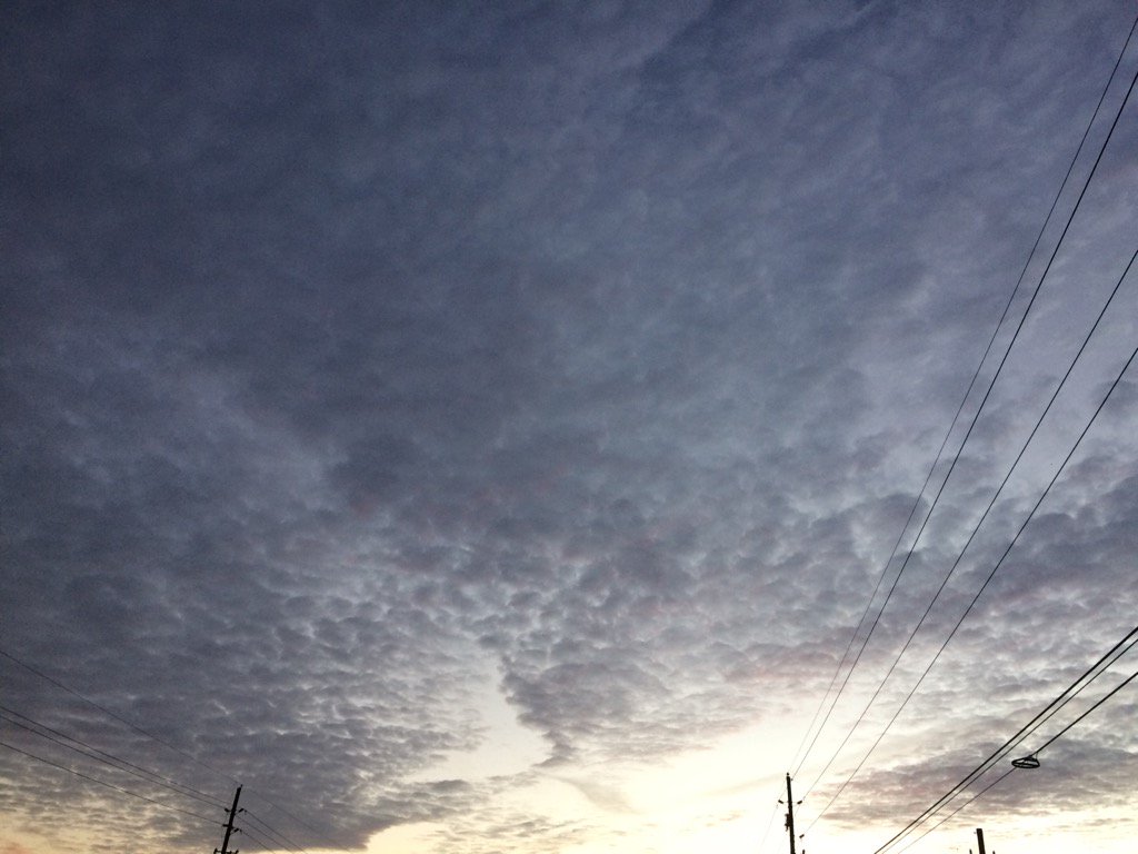
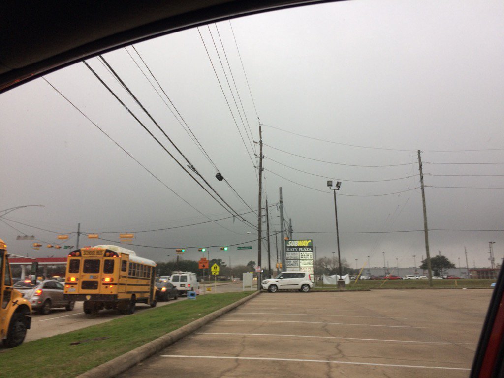
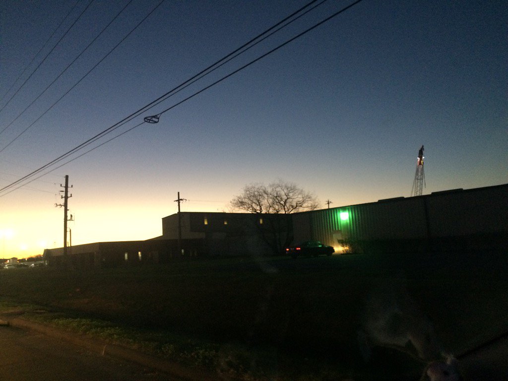
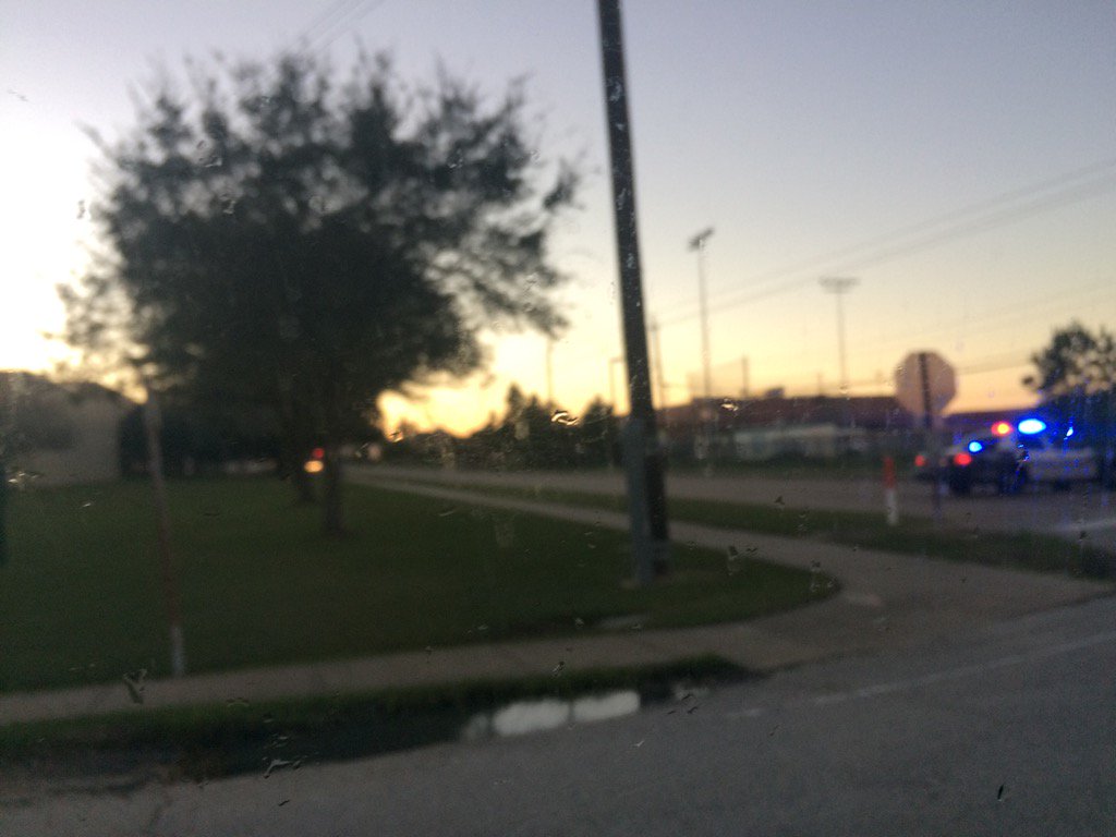
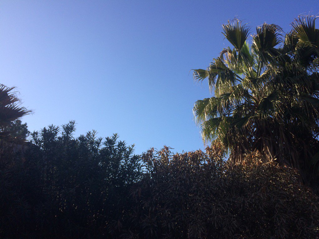
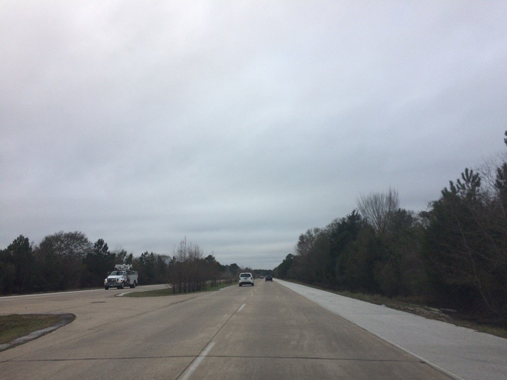
Northwest Houston, TX during the early morning.
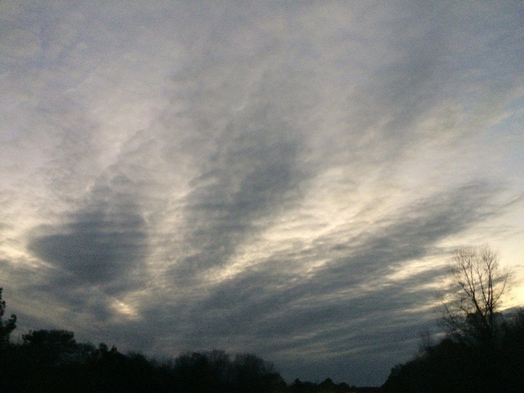
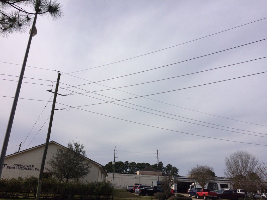
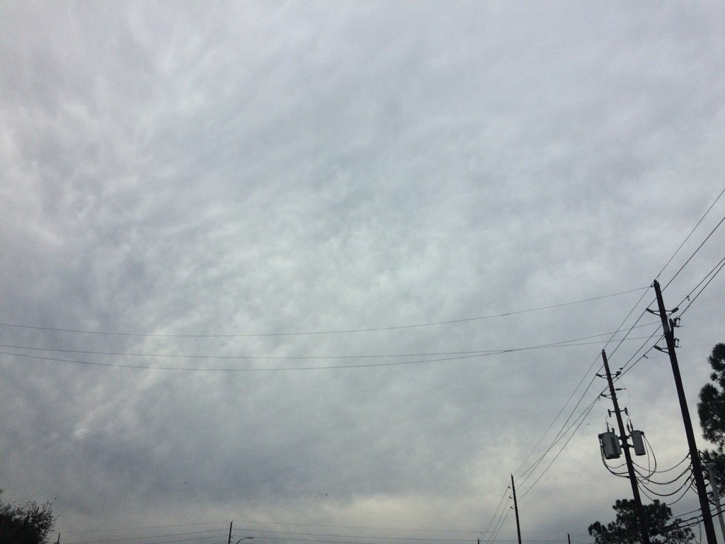
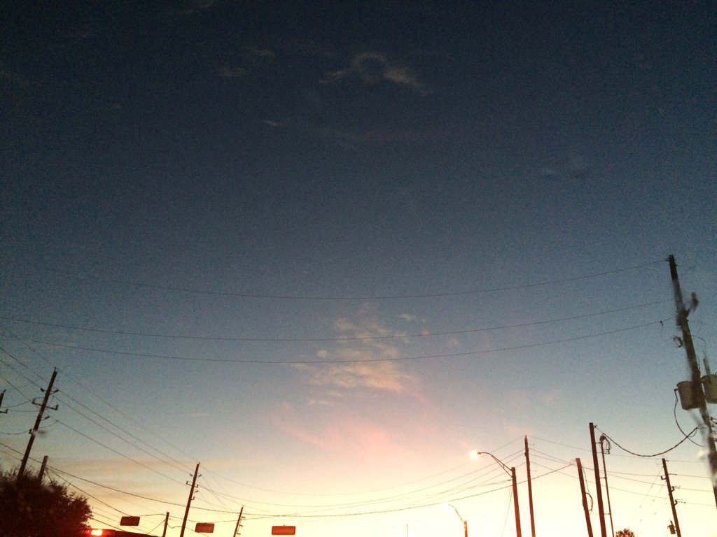
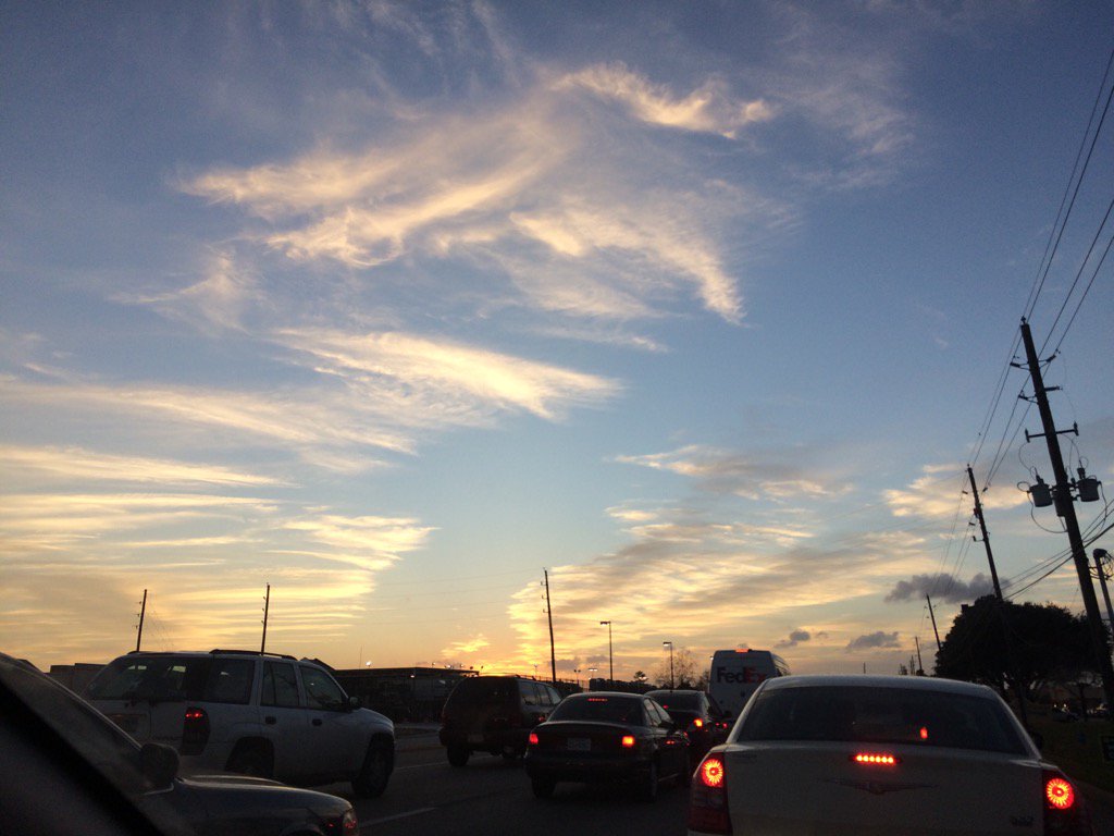
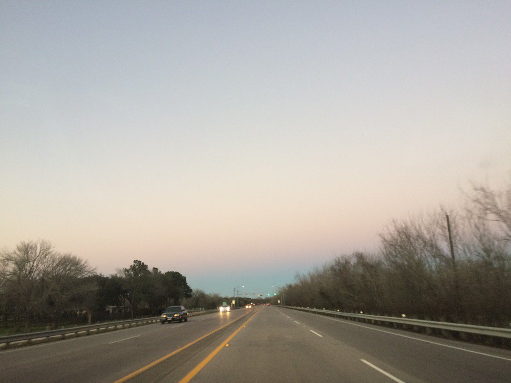
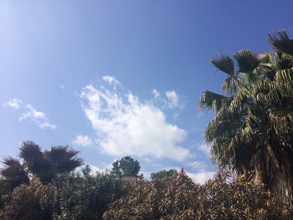
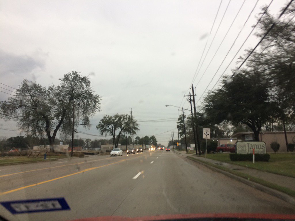
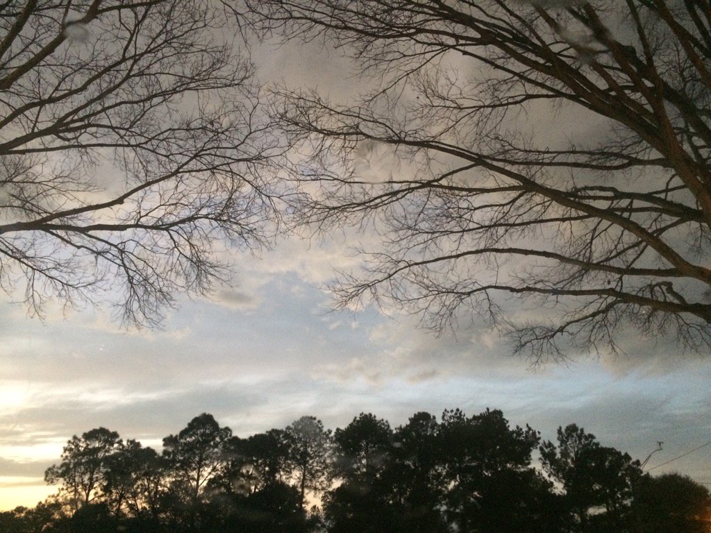
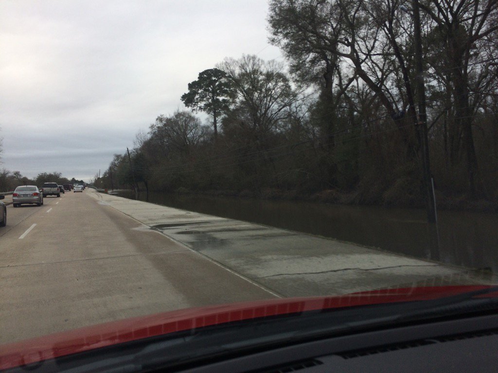
Northwest Houston, TX during the late afternoon.
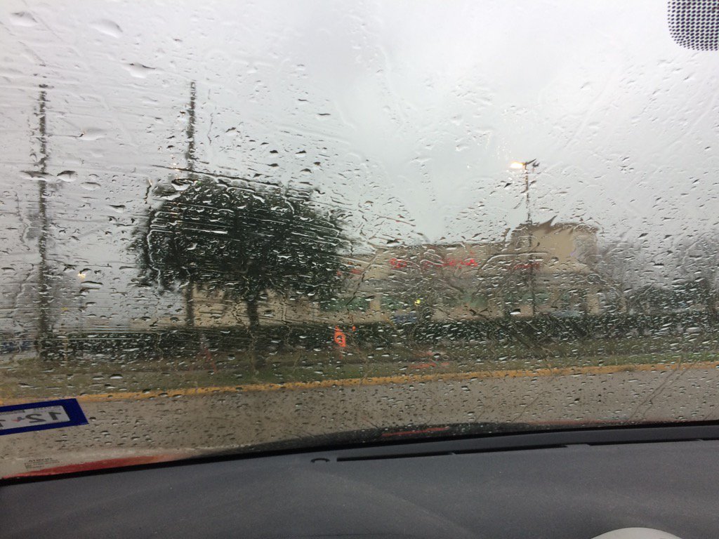
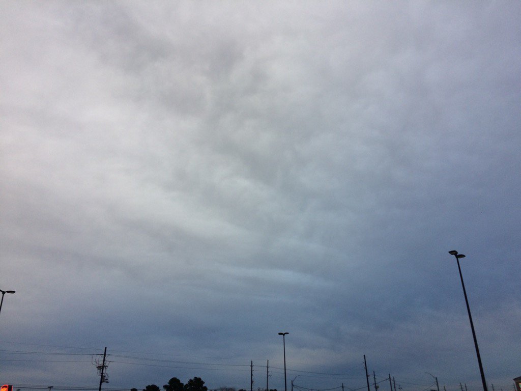
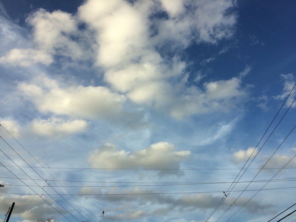
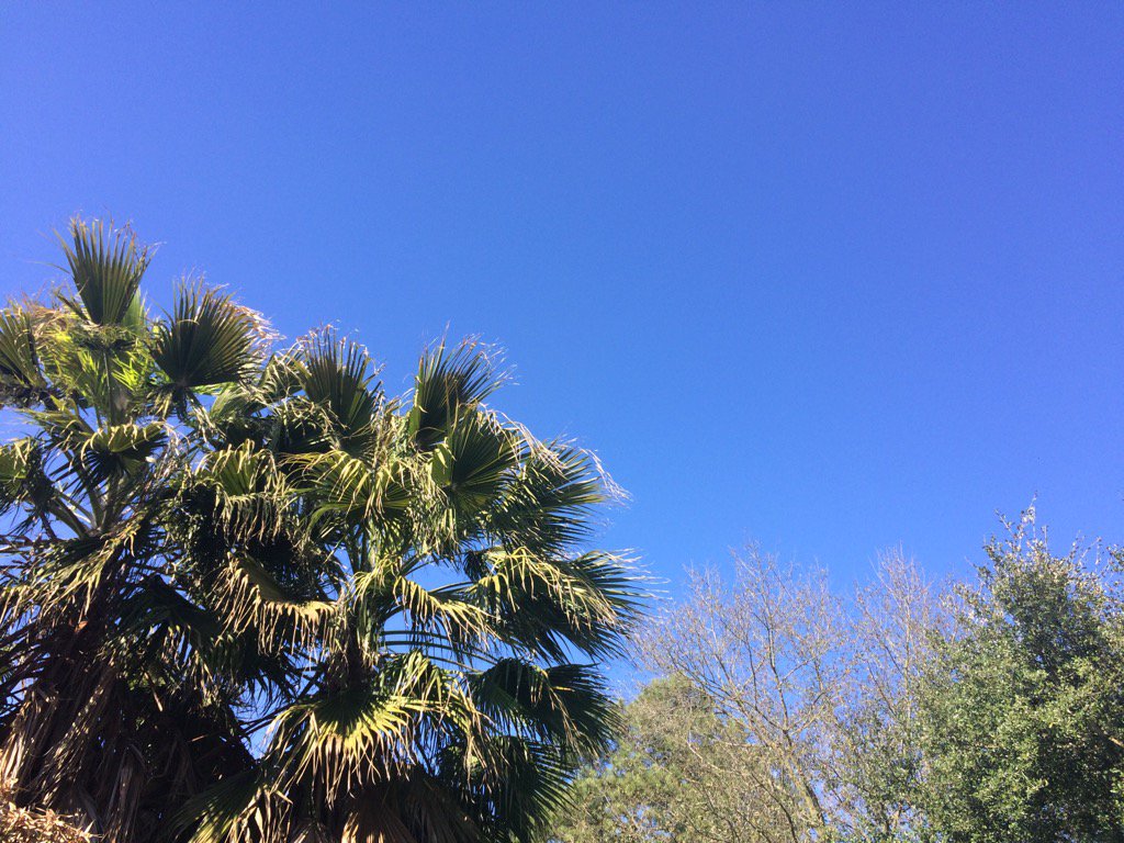
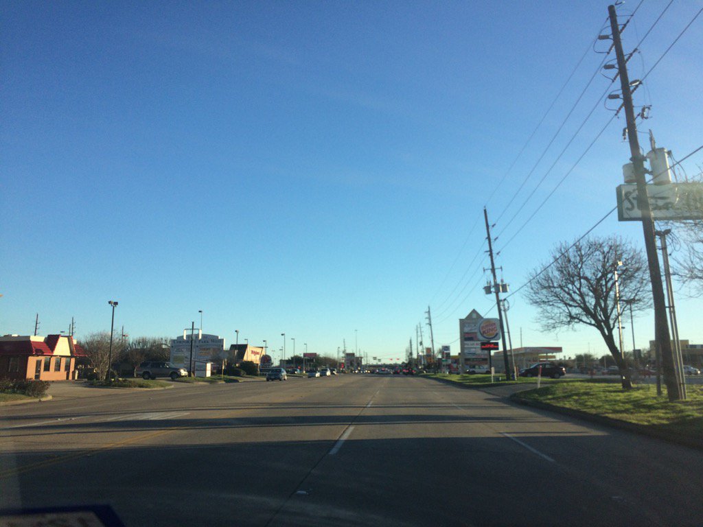
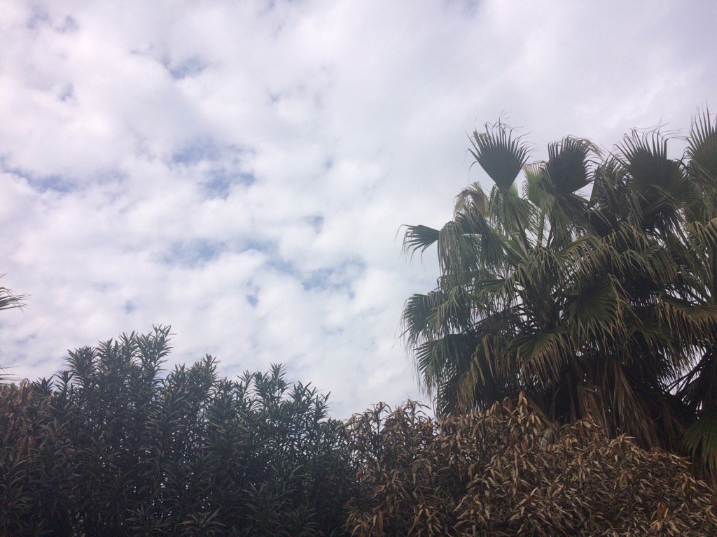
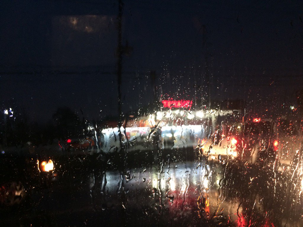
Notes: A big layer of bright white mixed with light to dark grey, thick, flat, puffy, low stratus clouds looked to cover the whole sky in northwest and west Houston, TX during the early morning. A big layer of bright white mixed with light to dark grey and blueish grey, thick, flat, puffy, low stratus clouds looked to cover the whole sky in west Houston, TX during the mid and late morning, and afternoon. A big layer of bright white mixed with light to dark grey and blueish grey, thick, flat, puffy, low stratus clouds looked to cover the whole sky in northwest Houston, TX during the late afternoon and evening. A big layer of bright white mixed with light to dark grey, thick, flat, puffy, low stratus clouds looked to cover the whole sky in northwest Houston, TX during the night. The wind speeds looked to be calm with maybe some moderate to moderately strong wind gusts in northwest and west Houston, TX during the early morning. The wind speeds looked to be calm with some moderate to moderately strong gusts in west Houston, TX during the mid and late morning, and afternoon. The wind speeds looked to be calm with maybe some moderate to moderately strong gusts in northwest Houston, TX during the late afternoon, evening, and night. It felt cool in northwest and west Houston, TX during the early morning. It felt warm in west Houston, TX during the mid-morning. It felt warm with a little cool wind in west Houston, TX during the late morning. It started to feel cool in west Houston, TX during the early afternoon. It felt cool in west Houston, TX during the mid and late afternoon. It felt cool in northwest Houston, TX during the evening and night. There was a 40 to 100 percent chance for rain for Houston, TX during the morning, afternoon, evening, and night. I think there was a dense fog advisory for the coastal areas of Houston, TX during the early morning. There were tornado warnings and flash flood watches, warnings, and advisories, as well as river flood warnings issued for several areas in and around Houston, TX.
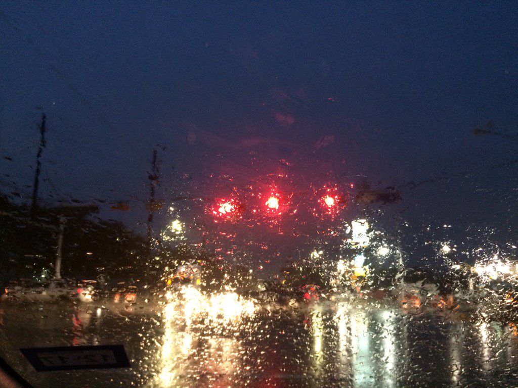
Summary: A huge cluster of light to really heavy rain trained across most of Houston, TX during the morning, causing flash flooding to happen to many of Houston, TX's streets. There were still some isolated clusters of light to really heavy rain crossing through different areas of Houston, TX during the afternoon, evening, and maybe night. I saw light to really heavy rain with some loud thunder and bright flashes of lightning at my house, during the early morning, before sunrise. Light to moderately heavy rain was falling on my way to work in west Houston, TX from my house in northwest Houston, TX during the early morning. I saw some on and off light to moderately heavy rain in west Houston, TX during the rest of the morning and early afternoon. Some light drizzle looked to be falling on my way home in northwest Houston, TX from west Houston, TX during the late afternoon. Light drizzle looked to be falling on and off at my house in northwest Houston, TX during the evening, early night, and maybe late night. I didn't see, or hear about any damage, other than flooding from the showers and thunderstorms.
Area Forecast Discussion
Issued by NWS Houston/Galveston, TX
115
FXUS64 KHGX 190003
AFDHGX

Area Forecast Discussion
National Weather Service Houston/Galveston TX
603 PM CST Wed Jan 18 2017

.AVIATION...
Storms are continuing to move out to the east this evening but we
are expecting another round of activity overnight/toward sunrise,
with most of this progged to be over the southern half of the CWA
(should the models verify). In the meantime...we are already see-
ing the development of low clouds/patchy fog in its wake. IFR and
LIFR conditions will likely prevail for most sites overnight. 41

&&

.PREV DISCUSSION... /ISSUED 359 PM CST Wed Jan 18 2017/

SHORT TERM (Tonight through Thursday Night)...
A broken line of showers and thunderstorms extends from near Moss
Hill southwest to Freeport and out into the Gulf of Mexico. This
line will continue to push east into southwestern Louisiana over
the next few hours, clearing the forecast area between 7 and 9 PM
CST this evening. Some modest training within this line has
resulted in rain totals approaching 1-1.5 inches in parts of
southwest Harris County this afternoon, but with the main line
shifting east... the heavy rain threat will shift east with it.
May see at least a lingering heavy rain threat in southern
Liberty, Chambers, and Galveston counties as this line exits
through the remainder of the evening as a 20-25 knot low level jet
ahead of this line on the Lake Charles VAD Wind Profiler feeds
additional moisture across these counties.

Drier conditions will briefly settle in across the region this
evening before another disturbance approaches the region after
midnight tonight. Afternoon water vapor analysis shows an upper
low stretching from northwest New Mexico to western Kansas and as
this trough swings into the Central Plains tonight and Thursday,
an associated trough axis will drag across Texas.

Increasing divergence ahead of this axis will overspread the
region after midnight tonight, resulting in another round of
scattered to numerous showers developing southwest of the region
and spreading northeast during the early morning hours on
Thursday. While rainfall totals during this time are forecast to
be (much) lighter than what was observed this morning (0.5-1 inch
along and south of Highway 59), will need to keep an eye on any
remnant boundaries left over from today`s rain that may serve as a
focus for higher rainfall amounts. Starting to see a signal for
this possibility in the 18Z NAM and latest runs of the RAP
guidance. As of now, the most likely culprit for any kind of
enhanced rainfall would be the front that our current showers are
pushing east along (especially if it does not move as far east as
model guidance indicates)... which would affect areas east and
southeast of the Houston metro.

With the main trough axis clearing the region midday Thursday,
drier conditions will overspread the region from west to east with
clearing skies and highs in the upper 60s to low 70s during the
afternoon. Partly cloudy skies and lows in the mid 50s to low 60s
are forecast on Thursday night.

Huffman

LONG TERM (Friday through Wednesday)...
Unsettled weather will quickly return on Friday as an upper trough
just off the West Coast swings into the Southern Plains. Warm air
advection showers will spread inland during the morning with
increasing lift and instability from heating resulting in
scattered shower and thunderstorm development by Friday afternoon. A
130 knot upper level jet moving across the region during this time ahead
of this trough as well as increased upper level forcing, combined
with mid- level lapse rates approaching 7 C/km and 0-6 km bulk
shear values 50-55 knots, may result in a threat for a few strong
to severe thunderstorms. Will need to keep an eye on how later
guidance evolves with timing (as this is a bit faster than what
00Z guidance was indicating).

Height falls associated with a secondary disturbance dropping
farther south across Texas on Saturday will induce a surface
cyclone over the Southern Plains, with scattered showers and
thunderstorms on Saturday and temperatures in the low to mid 70s being
quickly replaced by Sunday as drier and cooler conditions become
established behind a Pacific front sweeping across the region.
Wind Advisories will likely be needed in the wake of this front
with strong northwest winds 20-30 MPH possible for much of the day
Sunday. Recent rainfall should mitigate against more widespread
fire weather concerns, but will need to keep an eye on how dry the
air is behind this front for possible fire weather issues.

Otherwise, shortwave ridging builds in across the region at the
beginning of the upcoming week with dry conditions persisting
through Tuesday before another cold front reaches the region on
Wednesday.

Huffman

FIRE...
Look for a strong front to move through the area Saturday night
with windy and dry conditions developing in its wake through
Sunday night and Monday morning. Fire weather watches and/or red
flag warnings might be needed on Sunday due to the strong winds,
but at this time it looks like relative humidities will not get
low enough. 42

&&

.PRELIMINARY POINT TEMPS/POPS...
College Station (CLL)      52  72  55  75  58 /  30  10  10  20  30
Houston (IAH)              57  70  58  77  61 /  60  60  10  10  50
Galveston (GLS)            62  68  63  71  64 /  60  70  10  20  50

&&

.HGX WATCHES/WARNINGS/ADVISORIES...
TX...NONE.
GM...NONE.
&&

$$
Hazardous Weather Outlook
HAZARDOUS WEATHER OUTLOOK
NATIONAL WEATHER SERVICE HOUSTON/GALVESTON TX
457 AM CST WED JAN 18 2017

TXZ163-164-176>179-195>200-210>214-226-227-235>238-191315-
AUSTIN-BRAZORIA-BRAZOS-BURLESON-CHAMBERS-COLORADO-FORT BEND-
GALVESTON-GRIMES-HARRIS-HOUSTON-JACKSON-LIBERTY-MADISON-MATAGORDA-
MONTGOMERY-POLK-SAN JACINTO-TRINITY-WALKER-WALLER-WASHINGTON-
WHARTON-
457 AM CST WED JAN 18 2017

THIS HAZARDOUS WEATHER OUTLOOK IS FOR PORTIONS OF SOUTHEAST TEXAS..

.DAY ONE...TODAY AND TONIGHT

WIDESPREAD RAIN AND THUNDERSTORMS ARE EXPECTED TODAY AND TONIGHT.
ISOLATED SEVERE STORMS ARE POSSIBLE THIS MORNING WITH STRONG WINDS
AND ISOLATED TORNADOES THE MAIN SEVERE WEATHER THREATS. LOCALLY
HEAVY RAINFALL IS ALSO POSSIBLE THROUGH MIDDAY.

.DAYS TWO THROUGH SEVEN...THURSDAY THROUGH TUESDAY

RAIN AND THUNDERSTORMS WILL CONTINUE THROUGH EARLY THURSDAY.
ANOTHER ROUND OF SHOWERS AND THUNDERSTORMS WILL OCCUR FRIDAY
NIGHT AND SATURDAY. ISOLATED STRONG STORMS ARE POSSIBLE WITH
STRONG GUSTY WINDS THE MAIN THREAT. FOLLOWING THE PASSAGE OF A
COLD FRONT, STRONG WESTERLY WINDS ARE EXPECTED TO DEVELOP ACROSS
THE AREA ON SUNDAY MAINLY DURING THE AFTERNOON.

.SPOTTER INFORMATION STATEMENT...

SPOTTER ACTIVATION IS POSSIBLE THIS MORNING AND OVER THE WEEKEND.

$$


Flood Warning
FLOOD STATEMENT
NATIONAL WEATHER SERVICE HOUSTON/GALVESTON, TX
749 PM CST WED JAN 18 2017


A river flood warning remains in effect for the Little Cypress Creek.

PRECAUTIONARY/PREPAREDNESS ACTIONS...

Persons are urged to stay away from the river until water levels recede.

Motorists should avoid any water covered roads and find an alternate route.

Stay tuned to NOAA Weather radio or other news sources for further updates.

&&

TXC201-200149-
/O.CON.KHGX.FL.W.0016.000000T0000Z-000000T0000Z/
/LCHT2.1.ER.170118T1809Z.170119T0057Z.000000T0000Z.UU/
749 PM CST WED JAN 18 2017

The Flood Warning continues for
  The Little Cypress Creek NEAR Becker Road
* UNTIL FURTHER NOTICE...or until the warning is canceled.
* At 0721 PM Wednesday the stage was 195.2 feet.
* Minor flooding is occurring and minor flooding is forecast.
* Flood stage is 194.6 feet.

&&

LAT...LON 3003 9581 3003 9581 3002 9579 3003 9579


&&


                     Flood  Observed
Location             Stage  Stage   Day Time

Little Cypress Creek
  Becker Road         195   195.2   Wed 07 PM

$$