Summary: cool, almost cold at times with the wind. Felt warmer by the evening and night. Low mostly grey with some white stratus clouds dominated most of the sky, during the morning, afternoon, and evening. High white, and thin stratus clouds looked to be scattered across the sky, during the night. The wind speeds were light with moderate gusts, think. Kept my heater on all day. No rain that I know of anywhere in the Houston, TX area, during the day. I did not see, or feel any rain drops.
Saturday, October 24, 2020

Oct. 23 20
Summary: The day started out mostly clear or maybe mostly cloudy, during the early morning, at my house in Copperfield. I drove through some moderately dense fog in the Cypress area, on my way to Spring to get my cars oil changed, during the mid-morning. The sky was cloudy or maybe mostly cloudy, when I arrived at the dealership in Spring and it had looked like a shower may have just passed through, during the mid-morning. The sky was mostly covered with white to grey low stratus clouds, on my way home from the dealership in Spring, during the late morning. Light to dark grey stratus clouds started to cover almost the whole sky, at my house in Copperfield, during the early afternoon. White to grey stratus clouds looked to cover most of the sky and sometimes not much of the sky, during the rest of the day. The day started out warm and then became cool during the early afternoon and stayed cool through the night. The wind speeds were light wirh moderate gusts, especially after the cool front passed through. There were some strong gusts during the passing of the cool front, at my house in Copperfield, during the early afternoon. Light to moderate with some moderately heavy to maybe some heavy showers and thunderstorms were scattered across the Houston, TX area during the morning, afternoon, and maybe evening. I heard some low distant rumbles of thunder and some moderate rain fell with some strong 20 + mph wind gusts, at my house in copperfield, during 2 pm.
Thoughts: I had some pictures but they were having problems loading on to my chromebook.
Thursday, October 22, 2020
Oct. 22 20
Highway 6, Cooperfield, on my way to get a lug nut for my cars wheel, during the early morning.

290 West, near Katy and Cypress, TX, during the early morning.

Whataburger in the Heights area, during the early afternoon.

I-10 west on my way to Petsmart in Katy, TX, during the late evening.

Copperfield, at my house, during the early night.
Summary: It was foggy during the early morning. White and grey stratus clouds were scattered across the sky from the mid-morning through the night. There was a 30 to 40 percent chance for rain for the Houston, TX area. I did not see any rain. I did not hear about or see any rain anywhere in the Houston, TX area, during any time of the day. The wind speeds were light with moderate gusts. The day was warm. It looked like it wanted to rain where I work in the heights area, during the afternoon.
Area Forecast Discussion
Issued by NWS Houston/Galveston, TX
Issued by NWS Houston/Galveston, TX
Versions: 1 2 3 4 5 6 7 8 9 10 11 12 13 14 15 16 17 18 19 20 21 22 23 24 25 26 27 28 29 30 31 32 33 34 35 36 37 38 39 40 41 42 43 44 45 46 47 48 49 50
000
FXUS64 KHGX 230129
AFDHGX

Area Forecast Discussion
National Weather Service Houston/Galveston TX
829 PM CDT Thu Oct 22 2020

.SHORT TERM [Tonight through Friday]...
Warm evening to start with and southeast and east winds will
continue as the cold front move into the farthestmost northern
sliver of Texas around 6 pm with quite a dewpoint gradient.

Overnight expecting SETX to stay on the warm and mild side with
stratus clouds and fog developing. Very minor adjustments to the
current forecast expected. The cold front should sweep through
during the afternoon Thursday and be off the coast around 6-9 pm.
Scattered showers possible ahead of the front near the coast in
the afternoon then closer to the front and behind the front where
the lift gets a tad stronger as straight jet exit region traverses
teh area...an isolated thunderstorm will be possible but not very
likely along the front. Winds get gusty in the wake of the front
and temperatures fall post frontal passage.

45

&&

.AVIATION [00Z TAF Issuance]...
Mostly VFR across the area at 23z but going downhill quickly with
MVFR in the southern areas seeing the SC/ST deck developing at
01z and should continue to expand first northwest then north.
Winds decoupling and light/calm winds will likely bring another
round of fog possibly dense after 3 am. IFR ceilings forming and
again should persist through the 09-13z window. MVFR rising back
to VFR by late morning before the cold front. A cold front moves
through the area in the afternoon will usher in BKN 1500-2500 ft
with patchy light rain and showers.
45
&&

.PREV DISCUSSION /Issued 359 PM CDT Thu Oct 22 2020/...


.LONG TERM [Saturday Through Thursday]...
Nice wx anticipated behind the front Sat. Surface high pressure quickly
moves off the the east Saturday night and southerly winds resume.
Expect a gradual increase in moisture levels ahead of a cold front
that`ll be moving into northern parts of the area Monday that will
provide some iso/sct rain chances. Big question is when the colder
push of air arrives...and when the boundary pushes off the coast.

Initial wind shift will be shallow in nature...with a moist southerly
flow overrunning the surface boundary. Several models have the
surface front hanging up along the I-69/Highway 59 corridor (kind
of similar to the first one of the season) for 24+ hours and not
getting much in the way of colder air further s/se until the upper
trof and H85 front makes some further e/se progression. Rain
chances will likely continue and probably increase as this
occurs. Potential exists for some substantial forecast busts in
the Monday night-Thurs timeframe until we see a better model
consensus and have more confidence which way to lean in regards to
the timing and details. 47


.MARINE...
Longer period swell will continue on a slow downward trend tonight
and Friday. A weak cold front is still expected to move off the
coast on Friday night. Speeds may approach caution criteria for a
few hours in its wake. As high pressure behind the front moves
off to the east, expect onshore to return to the area Saturday
night and increase heading into Sunday night. A cold front is
forecast to approach the coast early next week...but timing as to
when it will push off the coast is still somewhat unclear. Could
be one of those scenarios that we see a wind shift Monday night,
but speeds and seas really don`t start increasing for another 24
hours or so until the push of colder air arrives. 47

&&

.PRELIMINARY POINT TEMPS/POPS...

College Station (CLL)  71  84  54  71  61 /  10  30  10   0  10
Houston (IAH)          72  87  61  75  63 /  10  20  10   0   0
Galveston (GLS)        76  82  68  76  71 /  10  20  10  10   0

&&

.HGX WATCHES/WARNINGS/ADVISORIES...

TX...None.
GM...None.

&&

$$


SHORT TERM/AVIATION...45
MARINE...33
Wednesday, October 21, 2020
Oct. 21 20

Early morning fog, in the heights area, on my way to my older sisters house to drop off my mom.
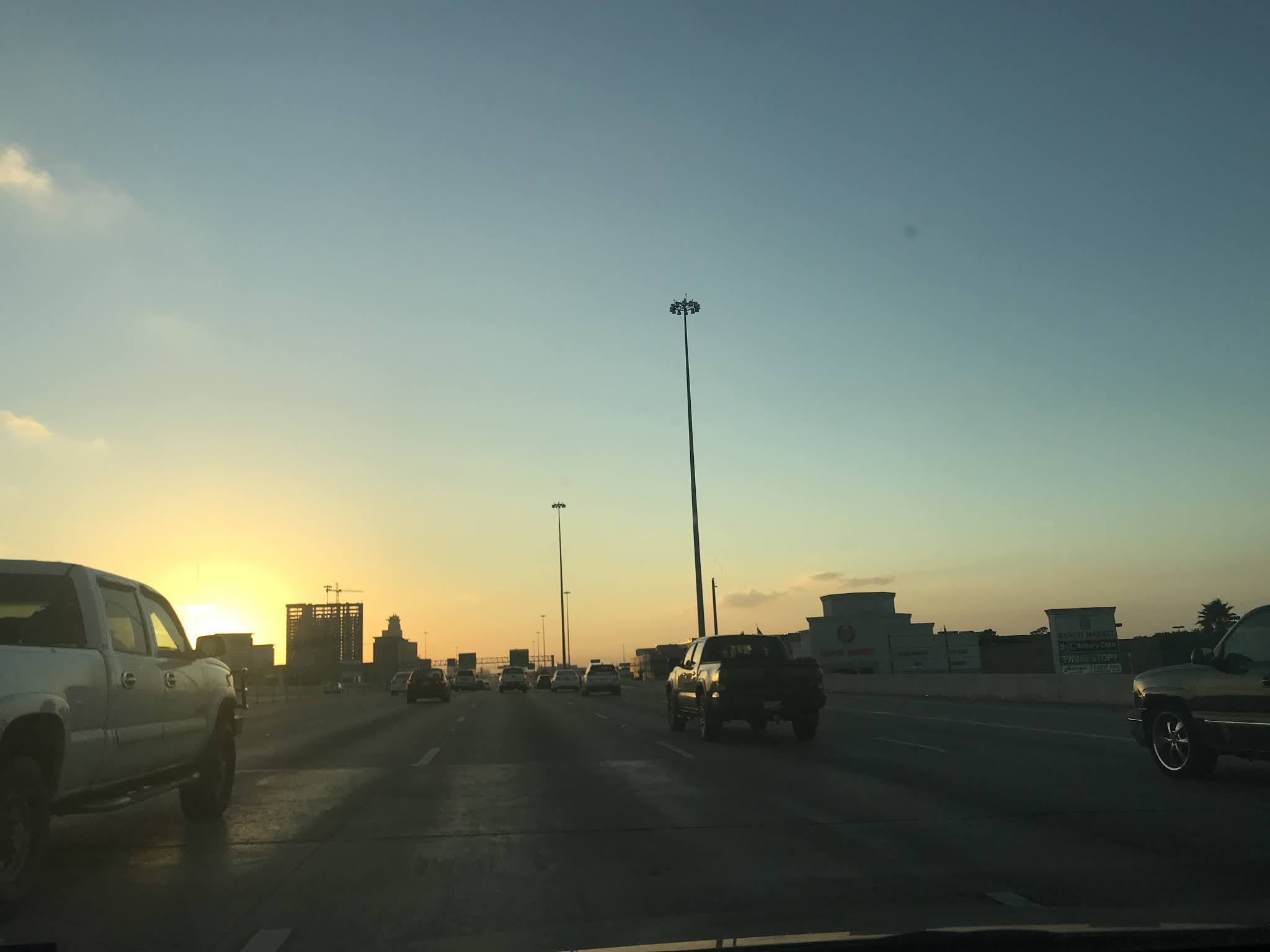
Late evening, I-10 west. On my way to my aunts house to check on her cats.

Late evening, at my aunts house in west Houston, TX.
Summary: The day started out with a moderate dense fog with some areas of Houston, TX getting a dense fog advisory for really thick fog, during the early morning. The fog dissipated during the mid-morning and the sky became mostly clear with white small stratus clouds scattered about. The small white stratus clouds stayed scattered across the sky through the rest of the day. The wind speeds were calm with some moderate gusts. The day was warm. There was no rain for the Houston, TX area, that I know of, during the day. I think the clouds actually looked thick enough to produce rain during the afternoon, maybe. I did not remember seeing, or feeling any rain drops., during any time of the day.
Area Forecast Discussion
Issued by NWS Houston/Galveston, TX
Issued by NWS Houston/Galveston, TX
Versions: 1 2 3 4 5 6 7 8 9 10 11 12 13 14 15 16 17 18 19 20 21 22 23 24 25 26 27 28 29 30 31 32 33 34 35 36 37 38 39 40 41 42 43 44 45 46 47 48 49 50
000
FXUS64 KHGX 220205
AFDHGX

Area Forecast Discussion
National Weather Service Houston/Galveston TX
905 PM CDT Wed Oct 21 2020

.SHORT TERM [Tonight Through Thursday]...

Mostly clear skies at 9 am but by midnight expect a quick
expansion of the ST and patchy fog to areas. A dense fog advisory
will probably be needed sometime after midnight and though not
that confident yet where...the Conroe/Angleton areas more likely
than the CLL area but will likely let the mid shift delineate the
specifics as it forms. A few degrees cooler tonight than last
night but very little in the way of change expected Thursday.
45
&&

.AVIATION [00Z TAF Issuance]...
Haze near the coast looks to have mixed away and winds across the
area relaxing. Expect MVFR deck to develop from around EFD
southward through 05z then expand northward as patchy/areas of fog
form under the clear skies and decoupled winds and IFR conditions
to blanket the area by 09z followed by LIFR/VLIFR lowering of
ceilings and visby. Between 14-16z improvement to MVFR then with
further heating a rapid changeover to VFR before 18z. Isolated
SHRA mainly BYY/LBX area southwestward mid morning through early
afternoon. Repeat of the low ceilings/fog again Thursday night.
45

&&

.PREV DISCUSSION /Issued 320 PM CDT Wed Oct 21 2020/...


.LONG TERM [Friday Through Wednesday]...
Continued onshore flood and warm, humid conditions expected
Friday. Models fairly similar in bringing a cold front through
from NW to SE Friday afternoon and night...accompanied by a wind
shift and a slightly cooler less humid air mass behind the front
for Saturday. Guidance has very little precip with this
front...although cant rule out an isolated shower along or behind
it.

Return flow off the Gulf sets up Sunday afternoon...with a return
to warm humid conditions Sunday night and Monday. Another
potentially more significant front pushes through again from NW to
SE. Models have been varying a great deal with this second front.
GFS aggressively pushes it though and well offshore which would
mean Fall like conditions for the entire area. However ECMWF
stalls it near the coast...in fact keeping dewpoints in the 70s in
Galveston all next week! Think the truth probably somewhere in
between...more progressive than the EC...but not like the GFS...so
have created the grids based on that idea...and have leaned on
blends. Hopefully solution will firm up in the coming days...as
still looking 5 to 6 days out or so.

18


.MARINE...
High pressure situated across the eastern seaboard and lower
pressure across the Yucatan will maintain an e/ne flow for the
next few days. Longer period swell in place will likely peak
overnight and slowly diminish thru the day tomorrow. A weak cold
front will push into the waters late Friday night. However, the
duration of offshore winds in its wake should be brief. High
pressure will quickly move off to the east with onshore flow
resuming Sat night. Beyond that, the primary question is if/when
the next, potentially stronger, front moves into the area. There
remains a split camp in the models - some depict Monday night &
some don`t bring anything off the coast. 47


.FIRE WEATHER...
Continued warm humid conditions expected next few days with no
more than an isolated shower possible. Cold front will move
through from NW to SE Friday afternoon or evening bringing a wind
shift and slightly cooler weather for Saturday...but little or no
rain. 18

&&

.PRELIMINARY POINT TEMPS/POPS...

College Station (CLL)  70  87  68  86  58 /   0  10   0  10   0
Houston (IAH)          71  85  71  87  65 /   0  20   0  10   0
Galveston (GLS)        75  82  75  83  71 /  10  10   0  10   0

&&

.HGX WATCHES/WARNINGS/ADVISORIES...

TX...None.
GM...SMALL CRAFT SHOULD EXERCISE CAUTION through Thursday morning for
     the following zones: Waters from Freeport to Matagorda Ship
     Channel TX from 20 to 60 NM...Waters from High Island to
     Freeport TX from 20 to 60 NM.


&&

$$


SHORT TERM/AVIATION...45
MARINE...33
Tuesday, October 20, 2020
Oct. 20 20

Beltway 8 and I-10, on my way to work, during the early morning.

Tanner near Eldridge, on my way home from work, during the late evening.
Summary: White to grey stratus clouds were scattered across the sky, during the morning, afternoon, evening, and night. The wind speeds were light with moderate gusts. The day was warm. There was 0 percent chance for rain for the Houston, TX area. Maybe a 20 percent chance for rain for some of the coastal areas. I did not see or hear about any rain anywhere in the Houston, TX area, during the day. I did not feel, or see any raindrops.
Area Forecast Discussion
Issued by NWS Houston/Galveston, TX
Issued by NWS Houston/Galveston, TX
Versions: 1 2 3 4 5 6 7 8 9 10 11 12 13 14 15 16 17 18 19 20 21 22 23 24 25 26 27 28 29 30 31 32 33 34 35 36 37 38 39 40 41 42 43 44 45 46 47 48 49 50
000
FXUS64 KHGX 202019
AFDHGX

Area Forecast Discussion
National Weather Service Houston/Galveston TX
319 PM CDT Tue Oct 20 2020

.SHORT TERM [through Wednesday Night]...

An area of deep low-level convergence has developed along the coast
and into Chambers County today. This activity is also being
triggered by low to mid level warm air advection. Instability
remains from 5 to 7 C/km, therefore, storms have struggled to
develop and has been isolated in nature. Additional showers with
a few lightning strikes cannot be ruled out along and east of
I-45 through sunset.

Forecast soundings suggest sufficient boundary layer moisture to
allow for stratus and patchy fog development overnight into
Wednesday morning. Fog should dissipate by early to mid morning as
daytime boundary layer mixing occurs.

Similar weather conditions are expected on Wednesday as warm
south to east winds persist. Highs will generally be in the mid to
upper 80s. There is a slight chance for showers/storms during the
day (mainly over Jackson, Wharton and Matagorda counties) thanks
to daytime heating, low-level moisture and weak forcing traversing
along the flow aloft. 05


.LONG TERM [Thursday through Tuesday]...

High pressure over the mid Atlantic and weak low pressure over the
southern Gulf will allow for east winds on Wednesday and Thursday. It
will remain warm and humid as 500 mb heights remain high and 850 mb
temps remain near 18 C. The low level flow will become more NE on
Friday as the weak and broad Gulf circulation moves north. A 1036 mb
area of high pressure will push south late Friday and drive a cold
front into and ultimately across the state. The surface high will
weaken and this feature shifts more east than south Friday night but
pressure rises behind the front look strong enough to drive the
front into the coastal waters. Convergence along the boundary looks
weak with surface winds already NE on Friday. The NE flow will also
be a dry flow so moisture looks minimal with PW values below 1.35
inches. The front will bring slightly cooler temperatures to the
area on Saturday. The respite from the unseasonably warm
temperatures on Saturday will be short lived as onshore winds return
by Saturday night and temperatures on Sunday will warm back up into
the mid/upper 80s.

By the beginning of next week, our attention remains on the approach
of a second and stronger cold frontal boundary. The on again/off
again cold front is on again with the GFS and ICON and off again
with the ECMWF and the Canadian. The GFS solution brings a strong
cold front through the area Monday night with much colder
temperature filtering into the area with period of showers and
embedded thunderstorms. The ECMWF doesn`t bring the cold front
through 240 hours. The primary differences between the models
appears to be how they resolve the 500 mb flow. The ECMWF/Canadian
hold the upper trough well to the west while the GFS and ICON are
more progressive with the upper trough and move it east by Wednesday
night. Once the front is in the state on Monday night, the pressure
rises in the TX panhandle look more than sufficient to drive the
front southward and off the coast. At 12z Tuesday, mslp at KAMA will
be around 1034 mb and at BRO, it will be around 1012 mb. Will lean
toward the GFS/WPC solution but confidence remains low at this time.
43


.MARINE...
Surface high pressure centered to our east will continue to bring
onshore flow across our Gulf waters. Light easterly winds from 8
to 15 knots will persist through late Friday. Seas between 4 and 6
ft will continue through the end of the week across portions of
the offshore waters. This may require caution flags across this
region through late Thursday. Offshore flow returns on Saturday
as a weak cold front moves through. Winds will shift back to the
east- southeast Saturday night. 05

&&

.PRELIMINARY POINT TEMPS/POPS...
College Station (CLL)      69  87  68  86  68 /   0  10   0  10   0
Houston (IAH)              69  87  70  85  70 /   0  10   0  10   0
Galveston (GLS)            75  83  75  82  75 /   0  10   0  20  10

&&

.HGX WATCHES/WARNINGS/ADVISORIES...
TX...NONE.
GM...NONE.
&&

$$
Monday, October 19, 2020
Oct. 19 20

My house in Copperfield, during the early morning.

Drove through a moderately showers at Beltway 8 and I-10, during the early morning.
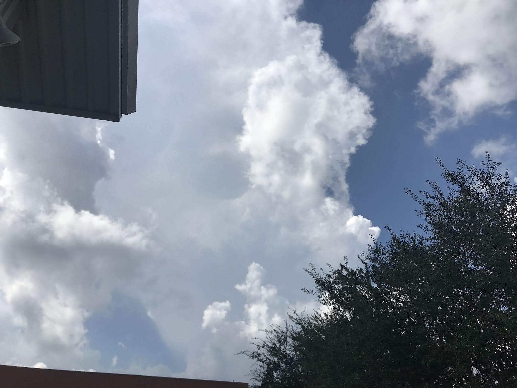
Where I work in the heights area, during the early afternoon.

The heights area, getting cigarettes for my mom, during the late evening.
Summary: The day started out cloudy then became mostly cloudy, during the mid, or maybe late morning and stayed mostly cloudy, through the night. The wind speeds were light with moderate gusts. Light to moderately heavy and heavy showers and thunderstorms were scattered across the Houston, TX area, during the morning, afternoon, and maybe evening. I drove through a moderately heavy shower during the early morning, on my way to work. I heard distant rumbles of thunder from 1:30 to 3:00 pm with some light rain.
The day was warm.
Area Forecast Discussion
Issued by NWS Houston/Galveston, TX
Issued by NWS Houston/Galveston, TX
Versions: 1 2 3 4 5 6 7 8 9 10 11 12 13 14 15 16 17 18 19 20 21 22 23 24 25 26 27 28 29 30 31 32 33 34 35 36 37 38 39 40 41 42 43 44 45 46 47 48 49 50
000
FXUS64 KHGX 200032
AFDHGX

Area Forecast Discussion
National Weather Service Houston/Galveston TX
732 PM CDT Mon Oct 19 2020

.SHORT TERM [Tonight through Tuesday]...
Showers and isolated thunderstorms in the area have dissipated and
focus shifts up to the stationary front just northwest of the CWA
by a county. HRRR is very bullish on development on the boundary
the next 3 to 4 hours...will leave in some slight chances for
showers over the area from Caldwell to College Station to Crockett
this evening but that is probably too generous. Skies should be a
mix of partly cloudy early becoming mostly cloudy to cloudy. Warm
night as WAA pattern remains in place and developing blanket of
stratus helps to trap that heat. Tuesday looking more rain-free
than today was as drier air intrudes and winds back slightly.
45


&&

.AVIATION [00Z TAF Issuance]...
Although it is VFR that will be fairly short lived as SC/ST deck
develops this evening and expands northward. Expecting MVFR
conditions beneath the stratus deck in the 1000-2000 foot range
and highest confidence of MVFR conditions looks to be CXO-66R
northward between 03-09z. The MVFR deck will also likely lower and
near UTS/CLL and dip into IFR at least briefly in the 10-13z
window there. Skies quickly scatter out around 14-15z and VFR
should prevail. Tuesday night looking like we could see some
MIFG/BR starting late in the evening with more favorable
radiational cooling profile.
45

&&

.PREV DISCUSSION /Issued 327 PM CDT Mon Oct 19 2020/...


.LONG TERM (Wednesday through Monday)...

On Wednesday, the upper flow over Texas will be kind of flat as
the region lies on the western periphery of an upper high over the
eastern U.S. and a weak short wave over the western plains. At the
surface, weak low pressure will be over the southern Gulf of
Mexico and this feature will allow for onshore winds to persist.
The air mass will remain humid so can`t rule out an isolated
shower from time to time but the lack of a well defined boundary
and upper level support should keep most areas dry. Not a lot of
day to day change through the end of the week as temperatures
remain 5 to 10 degrees warmer than normal. A weak cold front will
cross SE TX on Saturday but convergence along the front looks weak
and PW values are meager, reaching only around 1.20 inches. Will
keep the fropa dry for now but will watch trends as we near the
end of the week. We should get a brief cool down on Saturday in
the wake of the front with weak CAA but temperatures warm right
back up again on Sunday as onshore winds return. Warm and humid
conditions are expected Sunday and Monday as weak upper level
ridging over the Gulf expands into Texas. Another cold front is
expected to cross SE TX on Tuesday but both the GFS and ECMWF hang
the upper level support to the west so the front will probably be
a slow mover and the Canadian does not bring the front through
until next Thursday. Ensemble guidance also seems to favor the
slower solutions. 43


.MARINE...

High pressure east of the region will allow for an onshore flow
tonight. As weak low pressure develops over the southern Gulf, the
flow between the high to the east and the low will allow for
surface winds to back to the east and an east wind will then
persist into Friday. A cold front will cross the coastal waters
early Saturday and winds will back to the NE. High pressure
building into the southern plains behind the front will move east
very quickly and onshore winds will redevelop by late Saturday
night. Onshore winds will then prevail through early Tuesday.

Water levels could briefly reach 3.5 feet above MLLW on Wednesday
as a persistent east wind brings slightly elevated water levels
to the coast. Tides will probably remain near or just above 3.0
feet at high tide through the end of the week due to the
persistent east wind. 43

&&

.PRELIMINARY POINT TEMPS/POPS...

College Station (CLL)  71  87  68  86  66 /  20  10   0  10   0
Houston (IAH)          71  85  70  86  69 /  20  10  10  10   0
Galveston (GLS)        74  82  74  83  75 /  20  20  10  10  10

&&

.HGX WATCHES/WARNINGS/ADVISORIES...

TX...None.
GM...None.

&&

$$


SHORT TERM/AVIATION...45
MARINE/CLIMATE/LONG TERM...41
Sunday, October 18, 2020
Oct. 18 20

White and grey stratus clouds were scattered across the sky with some occasional clearing. During the morning, afternoon, and evening. The sky looked to be mostly clear with still some possible small white alto stratus clouds, during the night.
Summary: I think there was a 20 percent chance for rain for the Houston, TX area, for the afternoon and evening. I did not see or hear about any rain falling over the Houston, TX area, but there may have been some small light showers. The wind speeds were light with moderate gusts. It felt cool during the early morning and a little cool during the mid-morning. It felt warm, during the late morning. evening, and night. It felt very warm, almost hot, during the afternoon.
Thoughts: It was my niece's birthday today. She was born today. This evening.
Area Forecast Discussion
Issued by NWS Houston/Galveston, TX
Issued by NWS Houston/Galveston, TX
Versions: 1 2 3 4 5 6 7 8 9 10 11 12 13 14 15 16 17 18 19 20 21 22 23 24 25 26 27 28 29 30 31 32 33 34 35 36 37 38 39 40 41 42 43 44 45 46 47 48 49 50
000
FXUS64 KHGX 190253
AFDHGX

Area Forecast Discussion
National Weather Service Houston/Galveston TX
953 PM CDT Sun Oct 18 2020


.SHORT TERM [Tonight Through Monday]...
A few showers offshore and quick increase in low level clouds
across the area. Will probably see the development of streamer
showers after 11 pm in the axis from well south of Galveston up
through the I-45 corridor out ahead of the cold front tonight.
Speaking of cold front it is passing through DFW at 9 am and
should slow as it near the Corsicana/Waco area after 3 am.
Currently expecting it to stall near College Station-Crockett late
Monday morning/early afternoon. Some of the short term guidance
showing it being more aggressive potentially near Houston late
afternoon. At this point with the CAA being hampered in the
afternoon have made some adjustments to afternoon highs Monday to
bump them up a few degrees. Scattered showers should be common
throughout the day and may have a few isolated thunderstorms
during the afternoon out ahead of the boundary in the WAA pattern
(if they can overcome the cap). 45

&&

.AVIATION [00Z TAF Issuance]...

VFR but may be short lived with development/expansion of MVFR ST
deck that is racing north. Expect most TAF sites to be MVFR around
1500ft by 07-08z. This deck will likely persist into mid morning
then heating/mixing beneath the cap should win out and go back to
VFR. Cold front should bring variable winds/possibly northerly to
CLL in the early afternoon. Scattered showers across the area
warrants VCSH through the late afternoon hours.
45


&&

.PREV DISCUSSION /Issued 406 PM CDT Sun Oct 18 2020/...


.LONG TERM [Tuesday through Sunday]...

In a nutshell, the long-term forecast features above normal
temperatures, chances for rain/storms and the potential for a cold
front passage next weekend.

A few disturbances embedded in the quasi-zonal flow aloft will
continue to move across the area, bringing chances of showers and
storms. It won`t be a complete washout, but enough for some isolated
to perhaps, scattered precipitation at times. Onshore flow persists
and will continue to bring a warm and moist Gulf airmass inland.
Capping remains weak; therefore, decent instability and moisture
will help to spark a few showers/storms along the coast in the
morning and farther inland in the afternoon.

An upper-level trough will develop over the Northern Rockies,
dragging a cold front over TX Friday into the weekend. While
deterministic models now are in better agreement on bringing this
front at/close to our region; there are still discrepancies on its
amplitude and phase. The EC brings the front close to our
northwestern counties late Friday night, then moving through the
Gulf waters on Saturday. The GFS suggests a slightly slower front,
reaching the KCLL/KUTS region by Saturday morning. This front may
not bring a significant change in temperatures, but at least, we
will go back to seasonal temperatures and will have a relief in
humidity. Given these solutions, the forecast from Friday night
through Sunday is a blend between the GFS, EC and NBM to obtain
temperatures in the upper 70s to low 80s and dewpoints from the
upper 50s to upper 60s. While models are in good agreement, we are
still a few days out, so confidence is still low to moderate.

Temperature-wise, it will remain above normal throughout the week
with forecast highs mainly in the 80s and overnight lows in the
upper 60s to low 70s. 05


.MARINE...

High pressure over the eastern U.S. will maintain an onshore wind
overnight. A weak cold front will move into SE TX on Monday but
the front will stall out before reaching the coastal waters. The
flow will weaken as the pressure gradient slackens. The front will
dissipate and the pressure gradient will tighten again Tuesday
and Tuesday night as pressures fall over West Texas. Winds will
back to the east mid week as low pressure develops over the
southern Gulf. An east wind will then persist through Friday
night. A cold front is then expected to cross the coastal waters
next Saturday.

Water levels will remain slightly elevated this week with the
persistent onshore flow. Tides could reach 3.4 feet above MLLW on
Wednesday. There will also be a risk for strong rip currents as
the winds back to the east. 43

&&

.PRELIMINARY POINT TEMPS/POPS...

College Station (CLL)  72  79  69  86  69 /  20  30  20  10  10
Houston (IAH)          73  85  70  85  70 /  20  40  10  20  10
Galveston (GLS)        76  81  75  83  76 /  20  20  10  20  10

&&

.HGX WATCHES/WARNINGS/ADVISORIES...

TX...None.
GM...None.

&&

$$


SHORT TERM/AVIATION...45
MARINE...41|
Subscribe to:
Posts (Atom)