
Early morning fog, in the heights area, on my way to my older sisters house to drop off my mom.
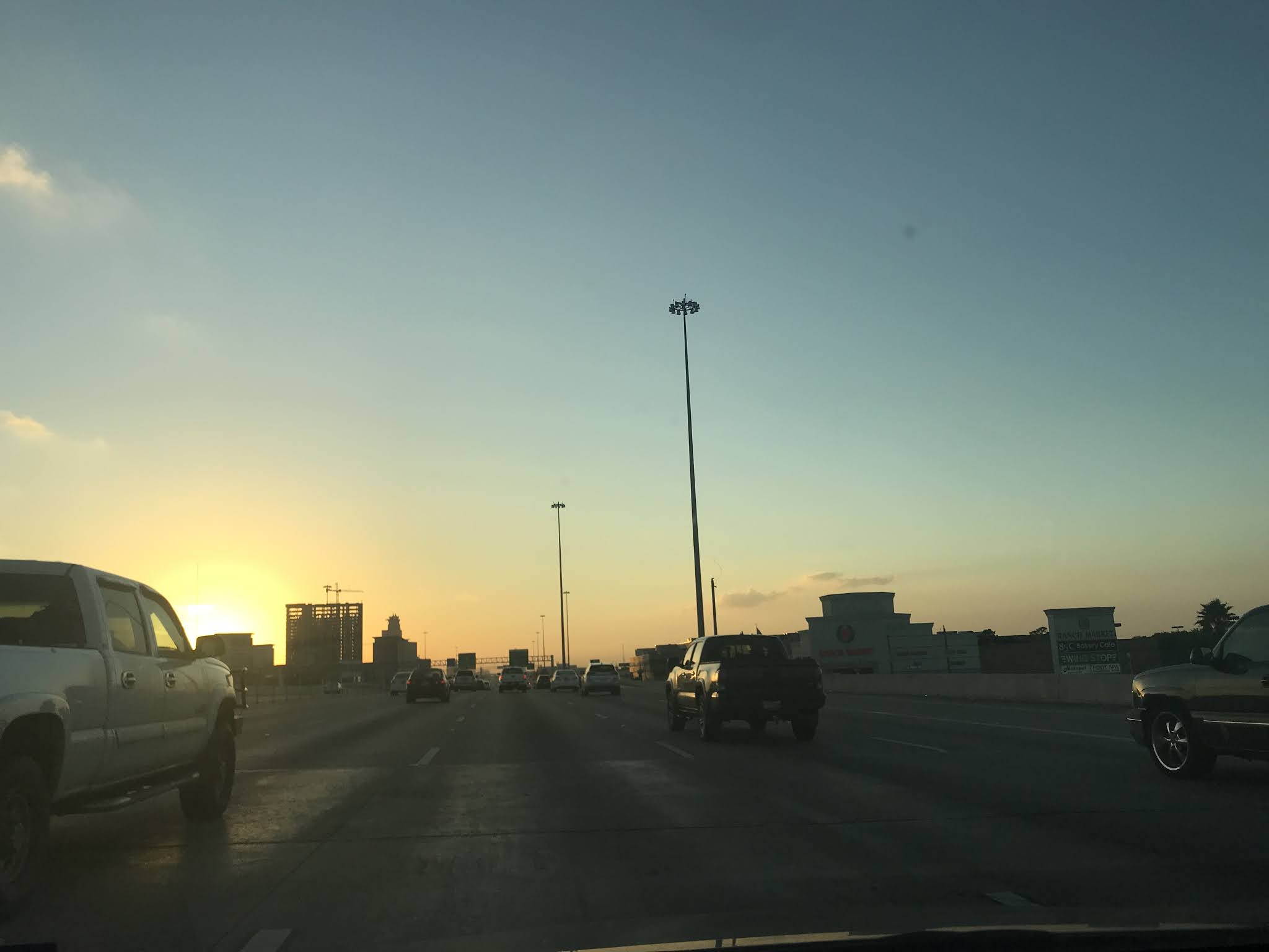
Late evening, I-10 west. On my way to my aunts house to check on her cats.

Late evening, at my aunts house in west Houston, TX.
Summary: The day started out with a moderate dense fog with some areas of Houston, TX getting a dense fog advisory for really thick fog, during the early morning. The fog dissipated during the mid-morning and the sky became mostly clear with white small stratus clouds scattered about. The small white stratus clouds stayed scattered across the sky through the rest of the day. The wind speeds were calm with some moderate gusts. The day was warm. There was no rain for the Houston, TX area, that I know of, during the day. I think the clouds actually looked thick enough to produce rain during the afternoon, maybe. I did not remember seeing, or feeling any rain drops., during any time of the day.
Area Forecast Discussion
Issued by NWS Houston/Galveston, TX
Issued by NWS Houston/Galveston, TX
Versions: 1 2 3 4 5 6 7 8 9 10 11 12 13 14 15 16 17 18 19 20 21 22 23 24 25 26 27 28 29 30 31 32 33 34 35 36 37 38 39 40 41 42 43 44 45 46 47 48 49 50
000
FXUS64 KHGX 220205
AFDHGX

Area Forecast Discussion
National Weather Service Houston/Galveston TX
905 PM CDT Wed Oct 21 2020

.SHORT TERM [Tonight Through Thursday]...

Mostly clear skies at 9 am but by midnight expect a quick
expansion of the ST and patchy fog to areas. A dense fog advisory
will probably be needed sometime after midnight and though not
that confident yet where...the Conroe/Angleton areas more likely
than the CLL area but will likely let the mid shift delineate the
specifics as it forms. A few degrees cooler tonight than last
night but very little in the way of change expected Thursday.
45
&&

.AVIATION [00Z TAF Issuance]...
Haze near the coast looks to have mixed away and winds across the
area relaxing. Expect MVFR deck to develop from around EFD
southward through 05z then expand northward as patchy/areas of fog
form under the clear skies and decoupled winds and IFR conditions
to blanket the area by 09z followed by LIFR/VLIFR lowering of
ceilings and visby. Between 14-16z improvement to MVFR then with
further heating a rapid changeover to VFR before 18z. Isolated
SHRA mainly BYY/LBX area southwestward mid morning through early
afternoon. Repeat of the low ceilings/fog again Thursday night.
45

&&

.PREV DISCUSSION /Issued 320 PM CDT Wed Oct 21 2020/...


.LONG TERM [Friday Through Wednesday]...
Continued onshore flood and warm, humid conditions expected
Friday. Models fairly similar in bringing a cold front through
from NW to SE Friday afternoon and night...accompanied by a wind
shift and a slightly cooler less humid air mass behind the front
for Saturday. Guidance has very little precip with this
front...although cant rule out an isolated shower along or behind
it.

Return flow off the Gulf sets up Sunday afternoon...with a return
to warm humid conditions Sunday night and Monday. Another
potentially more significant front pushes through again from NW to
SE. Models have been varying a great deal with this second front.
GFS aggressively pushes it though and well offshore which would
mean Fall like conditions for the entire area. However ECMWF
stalls it near the coast...in fact keeping dewpoints in the 70s in
Galveston all next week! Think the truth probably somewhere in
between...more progressive than the EC...but not like the GFS...so
have created the grids based on that idea...and have leaned on
blends. Hopefully solution will firm up in the coming days...as
still looking 5 to 6 days out or so.

18


.MARINE...
High pressure situated across the eastern seaboard and lower
pressure across the Yucatan will maintain an e/ne flow for the
next few days. Longer period swell in place will likely peak
overnight and slowly diminish thru the day tomorrow. A weak cold
front will push into the waters late Friday night. However, the
duration of offshore winds in its wake should be brief. High
pressure will quickly move off to the east with onshore flow
resuming Sat night. Beyond that, the primary question is if/when
the next, potentially stronger, front moves into the area. There
remains a split camp in the models - some depict Monday night &
some don`t bring anything off the coast. 47


.FIRE WEATHER...
Continued warm humid conditions expected next few days with no
more than an isolated shower possible. Cold front will move
through from NW to SE Friday afternoon or evening bringing a wind
shift and slightly cooler weather for Saturday...but little or no
rain. 18

&&

.PRELIMINARY POINT TEMPS/POPS...

College Station (CLL)  70  87  68  86  58 /   0  10   0  10   0
Houston (IAH)          71  85  71  87  65 /   0  20   0  10   0
Galveston (GLS)        75  82  75  83  71 /  10  10   0  10   0

&&

.HGX WATCHES/WARNINGS/ADVISORIES...

TX...None.
GM...SMALL CRAFT SHOULD EXERCISE CAUTION through Thursday morning for
     the following zones: Waters from Freeport to Matagorda Ship
     Channel TX from 20 to 60 NM...Waters from High Island to
     Freeport TX from 20 to 60 NM.


&&

$$


SHORT TERM/AVIATION...45
MARINE...33
No comments:
Post a Comment