
My house in Copperfield, during the early morning.

Drove through a moderately showers at Beltway 8 and I-10, during the early morning.
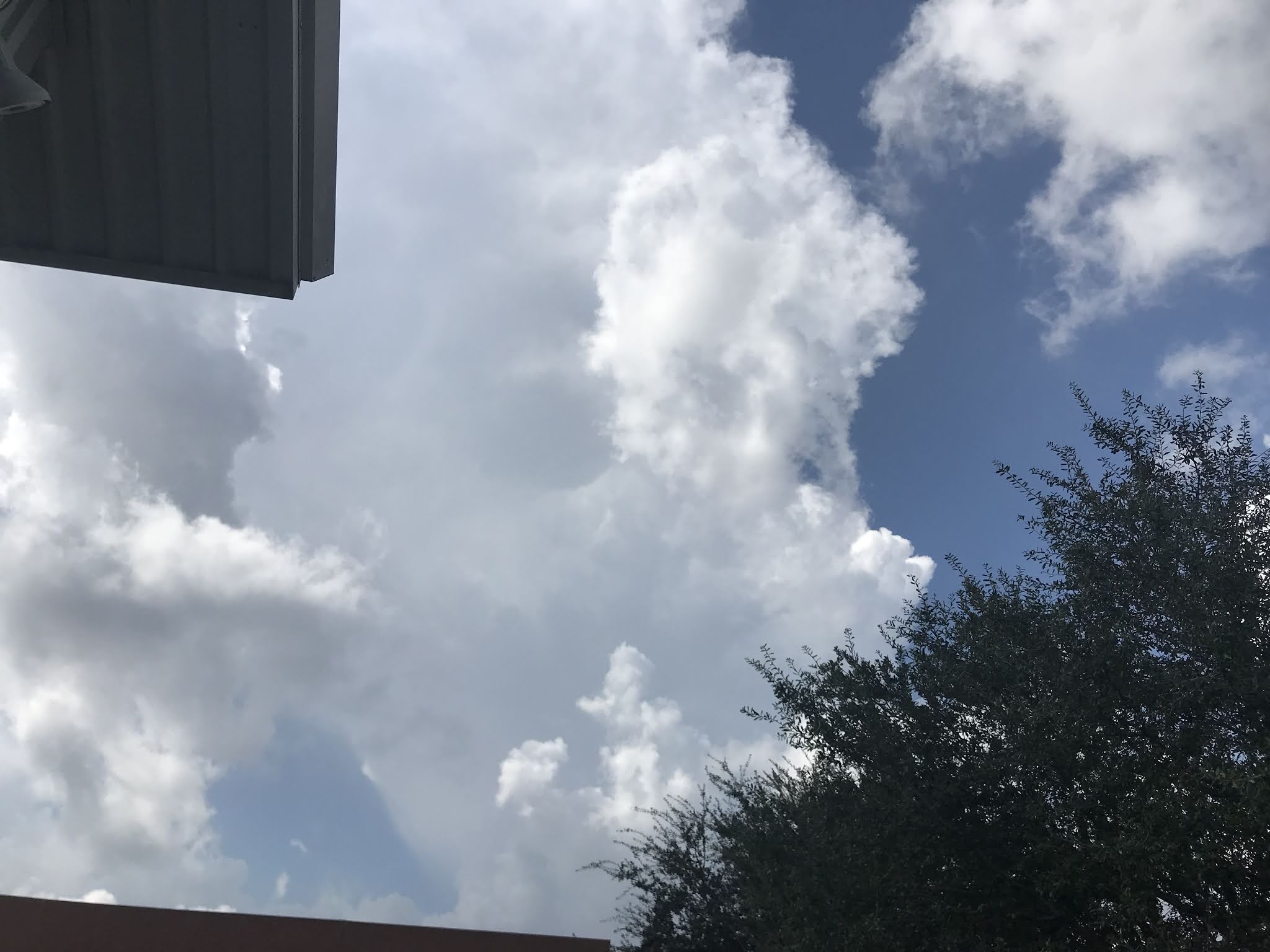
Where I work in the heights area, during the early afternoon.

The heights area, getting cigarettes for my mom, during the late evening.
Summary: The day started out cloudy then became mostly cloudy, during the mid, or maybe late morning and stayed mostly cloudy, through the night. The wind speeds were light with moderate gusts. Light to moderately heavy and heavy showers and thunderstorms were scattered across the Houston, TX area, during the morning, afternoon, and maybe evening. I drove through a moderately heavy shower during the early morning, on my way to work. I heard distant rumbles of thunder from 1:30 to 3:00 pm with some light rain.
The day was warm.
Area Forecast Discussion
Issued by NWS Houston/Galveston, TX
Issued by NWS Houston/Galveston, TX
Versions: 1 2 3 4 5 6 7 8 9 10 11 12 13 14 15 16 17 18 19 20 21 22 23 24 25 26 27 28 29 30 31 32 33 34 35 36 37 38 39 40 41 42 43 44 45 46 47 48 49 50
000
FXUS64 KHGX 200032
AFDHGX

Area Forecast Discussion
National Weather Service Houston/Galveston TX
732 PM CDT Mon Oct 19 2020

.SHORT TERM [Tonight through Tuesday]...
Showers and isolated thunderstorms in the area have dissipated and
focus shifts up to the stationary front just northwest of the CWA
by a county. HRRR is very bullish on development on the boundary
the next 3 to 4 hours...will leave in some slight chances for
showers over the area from Caldwell to College Station to Crockett
this evening but that is probably too generous. Skies should be a
mix of partly cloudy early becoming mostly cloudy to cloudy. Warm
night as WAA pattern remains in place and developing blanket of
stratus helps to trap that heat. Tuesday looking more rain-free
than today was as drier air intrudes and winds back slightly.
45


&&

.AVIATION [00Z TAF Issuance]...
Although it is VFR that will be fairly short lived as SC/ST deck
develops this evening and expands northward. Expecting MVFR
conditions beneath the stratus deck in the 1000-2000 foot range
and highest confidence of MVFR conditions looks to be CXO-66R
northward between 03-09z. The MVFR deck will also likely lower and
near UTS/CLL and dip into IFR at least briefly in the 10-13z
window there. Skies quickly scatter out around 14-15z and VFR
should prevail. Tuesday night looking like we could see some
MIFG/BR starting late in the evening with more favorable
radiational cooling profile.
45

&&

.PREV DISCUSSION /Issued 327 PM CDT Mon Oct 19 2020/...


.LONG TERM (Wednesday through Monday)...

On Wednesday, the upper flow over Texas will be kind of flat as
the region lies on the western periphery of an upper high over the
eastern U.S. and a weak short wave over the western plains. At the
surface, weak low pressure will be over the southern Gulf of
Mexico and this feature will allow for onshore winds to persist.
The air mass will remain humid so can`t rule out an isolated
shower from time to time but the lack of a well defined boundary
and upper level support should keep most areas dry. Not a lot of
day to day change through the end of the week as temperatures
remain 5 to 10 degrees warmer than normal. A weak cold front will
cross SE TX on Saturday but convergence along the front looks weak
and PW values are meager, reaching only around 1.20 inches. Will
keep the fropa dry for now but will watch trends as we near the
end of the week. We should get a brief cool down on Saturday in
the wake of the front with weak CAA but temperatures warm right
back up again on Sunday as onshore winds return. Warm and humid
conditions are expected Sunday and Monday as weak upper level
ridging over the Gulf expands into Texas. Another cold front is
expected to cross SE TX on Tuesday but both the GFS and ECMWF hang
the upper level support to the west so the front will probably be
a slow mover and the Canadian does not bring the front through
until next Thursday. Ensemble guidance also seems to favor the
slower solutions. 43


.MARINE...

High pressure east of the region will allow for an onshore flow
tonight. As weak low pressure develops over the southern Gulf, the
flow between the high to the east and the low will allow for
surface winds to back to the east and an east wind will then
persist into Friday. A cold front will cross the coastal waters
early Saturday and winds will back to the NE. High pressure
building into the southern plains behind the front will move east
very quickly and onshore winds will redevelop by late Saturday
night. Onshore winds will then prevail through early Tuesday.

Water levels could briefly reach 3.5 feet above MLLW on Wednesday
as a persistent east wind brings slightly elevated water levels
to the coast. Tides will probably remain near or just above 3.0
feet at high tide through the end of the week due to the
persistent east wind. 43

&&

.PRELIMINARY POINT TEMPS/POPS...

College Station (CLL)  71  87  68  86  66 /  20  10   0  10   0
Houston (IAH)          71  85  70  86  69 /  20  10  10  10   0
Galveston (GLS)        74  82  74  83  75 /  20  20  10  10  10

&&

.HGX WATCHES/WARNINGS/ADVISORIES...

TX...None.
GM...None.

&&

$$


SHORT TERM/AVIATION...45
MARINE/CLIMATE/LONG TERM...41
No comments:
Post a Comment