
Houston, TX radar, during the early morning.
Northwest Houston, TX, during the mid-morning, on my way to work from my house in northwest Houston, TX.

Southeast Houston, TX, during the mid-afternoon, at the pet resort that I work for.

Southeast Houston, TX, during the mid-afternoon, on my way to my house in northwest Houston, TX, from the pet resort that I work for in southeast Houston, TX.

Southeast Houston, TX, I think, on 288, during the late afternoon, on my way to my house in northwest Houston, TX, from the pet resort that I work for in southeast Houston, TX.

Northwest Houston, TX, during the late afternoon, at a gas station parking lot eating Wendy's for lunch.

Houston, TX radar, during the early evening.


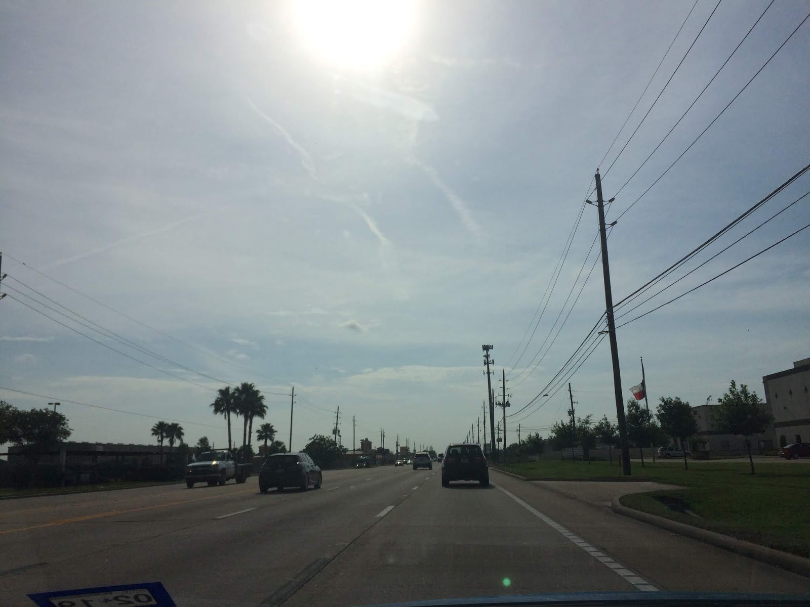
Northwest Houston, TX, during the early evening, on my way to my house in northwest Houston, TX, from the pet resort that I work for in southeast Houston, TX.
Area Forecast Discussion
Issued by NWS Houston/Galveston, TX
Versions: 1 2 3 4 5 6 7 8 9 10 11 12 13 14 15 16 17 18 19 20 21 22 23 24 25 26 27 28 29 30 31 32 33 34 35 36 37 38 3940 41 42 43 44 45 46 47 48 49 50
000
FXUS64 KHGX 050440
AFDHGX

Area Forecast Discussion
National Weather Service Houston/Galveston TX
1140 PM CDT Mon Jun 4 2018

.AVIATION...
Convection should remain north and east of area TAF sites
overnight. VFR conditions will persist through 08-09z before a mix
of IFR and MVFR conditions begin to develop. Drier air off the
surface will begin to mix down on Tuesday morning and VFR
conditions should develop after 15z. Model QPF is benign on
Tuesday and fcst soundings are trending significantly drier with
PW values falling to around 1.50 inches by 21z. Will remove the
VCTS as probabilities look too low to mention precip. Skies will
clear in the evening with VFR conditions prevailing through 06z.

&&

.PREV DISCUSSION... /ISSUED 905 PM CDT Mon Jun 4 2018/

UPDATE...
Isolated strong to severe thunderstorms continue to develop north
and northeast of the forecast area this evening along a boundary
evident in surface theta-e fields stretching from Sherman/Denison
to Lufkin to Opelousas, LA. The KHGX RAP VWP shows low level winds
in the 1-3kft layer have strengthened anywhere from 15-25 knots
and expect isentropic ascent associated with these winds and the
surface boundary to allow for the potential for thunderstorm
development to persist near the northeastern counties through most
of the night. 305K lapse rates along the boundary remain steep
through the night (6-6.5 C/km) so the potential for an isolated
strong to severe thunderstorm near Houston, Trinity, and Polk
counties will continue for at least a few more hours. Nacogdoches
reported a 61 MPH gust from a thunderstorm earlier this evening
and anticipate gusty to damaging winds being the main threat from
any activity that is able to wander off the boundary and into the
northeastern counties. A shortwave trough translating eastward
out of Oklahoma this evening may also contribute to additional
flare ups in convection along the boundary over northeast Texas,
but expect most of this activity to remain well north of the
region.

Light surface winds across the southwestern counties Tuesday
morning may be able to encourage patchy or light fog development
with overnight lows in the 70s inland to lower 80s along the
coast.

Huffman

PREV DISCUSSION... /ISSUED 352 PM CDT Mon Jun 4 2018/

DISCUSSION...
Not a whole lot of action going on as of 3 PM thanks to a cap in
place, but we will have a shot at at least some scattered showers
and thunderstorms later this afternoon and evening. Best chances
for now look to be across the northeast portions of the area as
this is where the stalled frontal boundary has settled in for now.
With a little bit of an inverted V in the soundings and PWs near
2 inches, gusty winds and locally heavy rainfall will be possible
with any storms that are able to develop. High temperatures were
adjusted down a touch for the Brazos Valley as they kept higher
cloud cover than was expected for much of the day.

A shortwave trough rotates across the ArkLaTex late tonight into
tomorrow morning, which could bring another round of showers and
thunderstorms to the area. Most of this should be focused just to
the northeast, but especially the NE and E portions of the area
could get a round of showers and thunderstorms early tomorrow
morning and into the daytime tomorrow. Lack of heating when the
worst rolls through should generally limit the severe potential.

After the shortwave exits, upper ridging builds back in over
West Texas with SE Texas on the eastern periphery. Depending on
the strength and placement of the ridge each day, we do keep
enough moisture that a few showers and storms could develop along
the seabreeze during the afternoons. Probably will have a little
variance day to day based on the finer details, but overall the
pattern will pretty much be the same through the rest of the
forecast period. Afternoon temperatures will warm into the 90s
basically every afternoon, so summer heat safety messaging will
need to continue.

11

MARINE...
A typical summer time pattern is expected over the northwest Gulf
for the next several days. South to southwest winds are expected
through the middle of the week at around 10 to 15 knots. Winds turn
more to the southeast for the end of the week with speeds of 10 to
15 knots. Seas will remain around 2 to 3 feet in offshore areas with
bays slightly choppy.

39

&&

.PRELIMINARY POINT TEMPS/POPS...
College Station (CLL)      74  95  75  96  75 /  10  20  10  10  10
Houston (IAH)              76  94  76  95  76 /  10  10  10  20  10
Galveston (GLS)            80  90  81  90  81 /  10  10  10  10  10

&&

.HGX WATCHES/WARNINGS/ADVISORIES...
TX...NONE.
GM...NONE.
&&

$$

Discussion...14
Aviation/Marine...43
Hazardous Weather Outlook
Hazardous Weather Outlook
National Weather Service Houston/Galveston TX
400 AM CDT Mon Jun 4 2018

GMZ330-335-350-355-370-375-TXZ163-164-176>179-195>200-210>214-226-
227-235>238-300-313-335>338-436>438-051200-
Austin-Brazoria Islands-Brazos-Burleson-Chambers-Coastal Brazoria-
Coastal Galveston-Coastal Harris-Coastal Jackson-
Coastal Matagorda-
Coastal waters from Freeport to Matagorda Ship Channel TX out
20 NM-Coastal waters from High Island to Freeport TX out 20 NM-
Colorado-Fort Bend-Galveston Bay-
Galveston Island and Bolivar Peninsula-Grimes-Houston-
Inland Brazoria-Inland Galveston-Inland Harris-Inland Jackson-
Inland Matagorda-Madison-Matagorda Bay-Matagorda Islands-
Montgomery-Northern Liberty-Polk-San Jacinto-Southern Liberty-
Trinity-Walker-Waller-Washington-
Waters from Freeport to Matagorda Ship Channel TX from 20 to
60 NM-Waters from High Island to Freeport TX from 20 to 60 NM-
Wharton-
400 AM CDT Mon Jun 4 2018

This hazardous weather outlook is for portions of Southeast Texas.

.DAY ONE...Today and Tonight

Shower and thunderstorm development will be possible, mainly this
afternoon
through tonight. Some of this activity might have the potential to
become strong or severe. Gusty winds and locally heavy rainfall appear
to be the main severe weather threat.

.DAYS TWO THROUGH SEVEN...Tuesday through Sunday

Shower and thunderstorm development will be possible Tuesday morning.
Some of this activity might have the potential to become strong or
severe. Gusty winds and locally heavy rainfall appear to be the main
severe weather threat.

.SPOTTER INFORMATION STATEMENT...

Spotter activation might be needed this afternoon through tomorrow
morning.

$$
Locations: Northwest, southwest, southeast, the heights, and downtown, Houston, TX.
Thoughts: The day was very hot, mostly dry, and sunny. There was a slight chance for rain for the Houston, TX area. There looked to have been some isolated light showers in and around the Houston, TX area, during the early morning and maybe some during the rest of the morning, afternoon, evening, and maybe night. NOAA reported some isolated showers and possible thunderstorms in, or maybe near the northeast areas of Houston, TX, during the evening.
No comments:
Post a Comment