Beltway 8 during the mid-morning. Driving towards the pet resort that I work for in southeast Houston, TX from where I live in northwest Houston, TX.

Houston, TX radar during the late morning.

Houston, TX radar during the early afternoon.

At the pet resort that I work for in southeast Houston, TX. During the early afternoon.

At the pet resort that I work for in southeast Houston, TX. During the late afternoon.

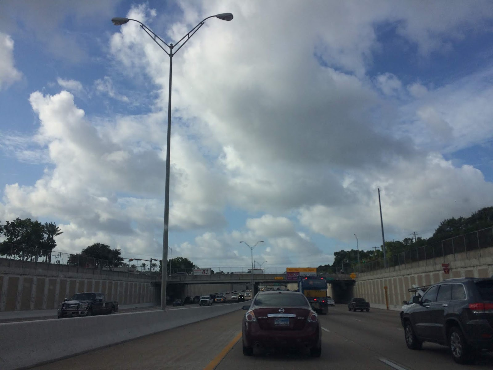
Driving north up 288 during the late afternoon from the pet resort that I work for in southeast Houston, TX. To an Indian resturant in west Houston, TX that I was going to have a cat game night at that was eventually canceled

In the Heights area of Houston, TX during the late afternoon. Coming from the pet resort that I work for in southeast Houston, TX. Headed toward an Indian resturant in west Houston, TX that I was going to have a cat game night at that was eventually canceled.

Houston, TX radar during the early evening.

In the Heights area of Houston, TX during the late afternoon. Coming from the pet resort that I work for in southeast Houston, TX. Headed toward an Indian restaurant in west Houston, TX that I was going to have a cat game night at that was eventually canceled.

Houston, TX radar during the late evening.

Houston, TX radar during the early night.

Houston, TX radar during the late morning.
Area Forecast Discussion
Issued by NWS Houston/Galveston, TX
Issued by NWS Houston/Galveston, TX
Versions: 1 2 3 4 5 6 7 8 9 10 11 12 13 14 15 16 17 18 19 20 21 22 23 24 25 26 27 28 29 30 31 32 33 34 35 36 37 38 3940 41 42 43 44 45 46 47 48 49 50
342
FXUS64 KHGX 210456
AFDHGX

Area Forecast Discussion
National Weather Service Houston/Galveston TX
1156 PM CDT Mon Aug 20 2018

.AVIATION [06Z TAF Issuance]...
The showers and thunderstorms east of CLL this evening have
finally diminished, leaving behind some high clouds. A shallow
scattered deck will fill in during the early morning hours before
rising and thickening by late morning. VFR ceilings and
visibilities should prevail until early afternoon. VCSH/VCTS will
be possible especially for the Houston Metro terminals and
northward, with development focusing along the weak frontal
boundary tomorrow. Overall, 00Z short term guidance has increased
coverage starting around 21Z and filling in southward through the
evening hours across SGR/HOU/IAH and maybe as far south as LBX.
Therefore have added in VCTS to the northern TAF sites to account
for these trends, while only keeping VCSH in at LBX. Any showers
or thunderstorms that do develop will be battling subsidence as
upper-level ridging attempts to build into the region. Winds will
range between 5-12kts and variable in direction through most of
the day tomorrow as this boundary washes out across SE TX.

Hathaway

&&

.PREV DISCUSSION /Issued 922 PM CDT Mon Aug 20 2018/...

.UPDATE...
01Z Surface analysis shows a weak cold front draped across NW
Louisiana, to north of Crockett, and just south of Waco. This
frontal boundary should continue to slug southward across SE TX
tonight and into tomorrow. Current radar imagery is continuing to
show a splattering of thunderstorms spread out across this
feature, impacting Houston, Madison, and northern Trinity
counties. Short term guidance is having a tough time initializing
these showers and thunderstorms, as most of the guidance had the
precipitation dissipating shortly after sunset. Expecting these
showers to eventually diminish in the next hour or two as they
continue to move to the southeast. Additionally, winds behind
this feature are light and out of the northwest. South of this
boundary, onshore flow remains with wind speeds between 6-12 mph.

Low temperatures tonight will dip into the upper 70s inland to
lower 80s along the coast, not allowing for much relief after
another warm summer day. With dewpoints still in the mid 70s
south of the frontal boundary, areas south of this boundary will
start off muggy tomorrow morning. Showers and thunderstorms are
again expected to develop along the sea and bay breezes tomorrow
as the marine layer pushes inland. These mesoscale features
combined with the front sliding slowly southward will help to
provide a chance for precipitation. Tomorrow will still be on the
hot side with heat index values forecast to range between 101-109
degrees, with the highest values along and south of I-10.

Hathaway

&&

.MARINE...
As a weak cool front descends into eastern Texas through Tuesday,
the maritime pressure gradient will relax going into mid week. This
weaker regional gradient will maintain a primarily light west to
southwesterly wind field through early Wednesday. This surface
boundary may reach the nearshore waters by Wednesday afternoon and
briefly swing light winds more north of west. Low end rain and storm
chances Tuesday and Wednesday in relation to this vicinity boundary.
Sea heights will generally range between 1 near 3 feet through the
remainder of the week. 31

&&

.PRELIMINARY POINT TEMPS/POPS...

College Station (CLL)  77  98  75 101  75 /  30  20  10  10  10
Houston (IAH)          79  97  77 100  76 /  30  30  10  10  10
Galveston (GLS)        82  93  81  94  81 /  10  20  20  20  10

&&

.HGX WATCHES/WARNINGS/ADVISORIES...

TX...None.
GM...None.

&&

$$

UPDATE/AVIATION...08
Hazardous Weather Outlook
Hazardous Weather Outlook
National Weather Service Houston/Galveston TX
407 AM CDT Mon Aug 20 2018

TXZ163-164-176>179-195>200-210>214-226-227-235>238-300-313-
335>338-436>438-211200-
Austin-Brazoria Islands-Brazos-Burleson-Chambers-Coastal Brazoria-
Coastal Galveston-Coastal Harris-Coastal Jackson-
Coastal Matagorda-Colorado-Fort Bend-
Galveston Island and Bolivar Peninsula-Grimes-Houston-
Inland Brazoria-Inland Galveston-Inland Harris-Inland Jackson-
Inland Matagorda-Madison-Matagorda Islands-Montgomery-
Northern Liberty-Polk-San Jacinto-Southern Liberty-Trinity-Walker-
Waller-Washington-Wharton-
407 AM CDT Mon Aug 20 2018

This hazardous weather outlook is for portions of Southeast Texas..

.DAY ONE...Today and Tonight

Heat indices should peak between 104 and 108 degrees today. Take
necessary heat precautions if outdoors. Scattered showers and
thunderstorms are possible today. The stronger cells will be
capable of producing strong gusty winds.

.DAYS TWO THROUGH SEVEN...Tuesday through Sunday

No hazardous weather is expected at this time.

.SPOTTER INFORMATION STATEMENT...

Spotter activation will not be needed.

$$
Locations: Northwest, west, southwest, southeast, the heights, and downtown Houston, TX.
Thoughts: I saw lots of rain during the afternoon only to find out that the area that I live in northwest Houston, TX didn't get any rain at all. I always find that to be really interesting that one area of a big city could have a rainy day while other parts of the city had a dry non-rainy day.
No comments:
Post a Comment