
Northwest Houston, TX, during the early morning.

The heights, Houston, TX, I think, during the mid-afternoon, on my way to the El Gato Cat Cafe in the heights, Houston, TX, coming from the pet resort that I work for in southeast Houston, TX.
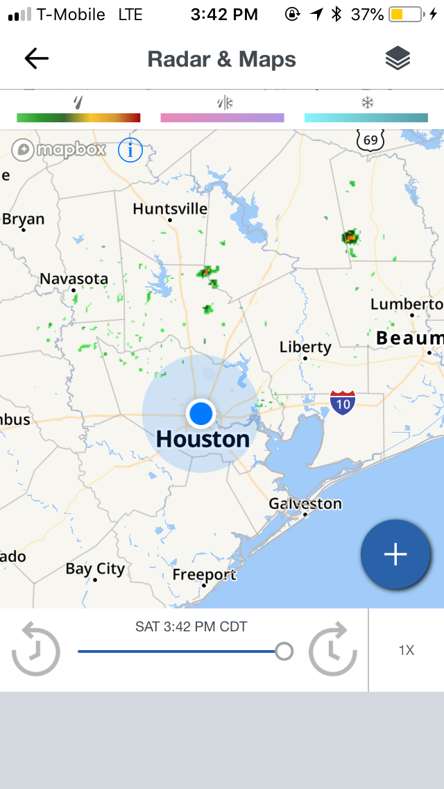
Houston, TX radar, during the mid-afternoon.

The heights, Houston, TX, during the mid-afternoon, parked at the El Gato Cat Cafe.

The heights, Houston, TX, during the early evening, on my way to a Tuesday Morning in northwest Houston, TX, to find a gift for my mom for Mother's Day.

Northwest Houston, TX, during the early evening, arrived at a Tuesday Morning.

Northwest Houston, TX, during the late evening, on my way to a Walgreen's in northwest Houston, TX, to find some more things for my mom for Mother's Day.
Locations: Northwest, southwest, southeast, downtown, and the heights, Houston, TX.
Thoughts: The day was hot and sunny. The cumulus clouds made another appearance with some better rain chances, but only a few scattered light showers, with maybe some heavier, were seen on the Houston, TX radar, during different times of the day. I think I may have felt a few rain drops, but I am not sure.
Area Forecast Discussion
Issued by NWS Houston/Galveston, TX
Issued by NWS Houston/Galveston, TX
Versions: 1 2 3 4 5 6 7 8 9 10 11 12 13 14 15 16 17 18 19 20 21 22 23 24 25 26 27 28 29 30 31 32 33 34 35 36 37 38 3940 41 42 43 44 45 46 47 48 49 50
000
FXUS64 KHGX 130226
AFDHGX

Area Forecast Discussion
National Weather Service Houston/Galveston TX
926 PM CDT Sat May 12 2018

.UPDATE...
Previous forecast appears to be on track. Only minor adjustments
were made for current obs.

11

&&

.PREV DISCUSSION... /ISSUED 621 PM CDT Sat May 12 2018/

AVIATION...

Not much of a change from the last forecast cycle. Given healthy
dewpoints and modestly higher precipitable water than surrounding
areas per GOES- East, went a touch more pessimistic on
ceilings/fog, with a mix of MVFR and VFR ceilings across the area.
If moisture quality is actually even better, may have to trend the
rest of the area downward as well, but will wait to see if that
shows its face in the obs in the coming hours before committing
fully.

Tomorrow should return to VFR throughout and be largely a repeat
of today, though a slightly weaker pressure gradient may keep
winds closer to 10 knots than 15. Also, another chance of a stray
shower or two, but not enough coverage expected to make it worth
adding to any specific TAFs at this point.

Luchs

PREV DISCUSSION... /ISSUED 311 PM CDT Sat May 12 2018/

DISCUSSION...
Isolated showers will continue this afternoon, but a strong
capping inversion will inhibit any thunderstorm development. Some
of this rainfall may be moderate at times, but with most of
Southeast Texas 1 to 2 inches below normal monthly rainfall, this
will be a welcome change of pace. The cap weakens slightly
tomorrow, but should still be strong enough to limit any thunder
potential. Expect highs again near 90 F and lows near 70 F
tomorrow, as there will be no change in airmass over the next
week.

A surface low will develop over the Eastern Gulf early in the
week, but will remain to the east and not likely affect SE TX.
Upper level ridging will continue to dominate our weather for at
least the next week. High pressure gradually builds in from the
east and surface winds will periodically shift from onshore to
westerly Tuesday and Wednesday. Temperatures will remain roughly 5
degrees above our normal high of 85 and low of 66 in Houston this
week. Slight chance to a chance for showers and isolated
thunderstorms will return for our extreme northeastern counties on
Wednesday. 22

MARINE...
Light to occasionally moderate onshore flow will persist for the
rest of the weekend and into the beginning of the upcoming week.
Winds across the northwest Gulf appear to become increasingly
variable to potentially offshore towards the middle of the
upcoming week as a weak surface low develops near the Florida
panhandle and lifts into the southeastern US. A strengthening
onshore flow can be expected by late week with wave heights
remaining in a 2 to 4 foot range. 42

&&

.PRELIMINARY POINT TEMPS/POPS...
College Station (CLL)      90  72  90  71  90 /  20   0   0  10  10
Houston (IAH)              89  73  89  71  91 /  20  10  20  10  10
Galveston (GLS)            84  77  82  76  84 /  10  10  10  10  10

&&

.HGX WATCHES/WARNINGS/ADVISORIES...
TX...NONE.
GM...NONE.
&&

$$

Discussion...11
No comments:
Post a Comment