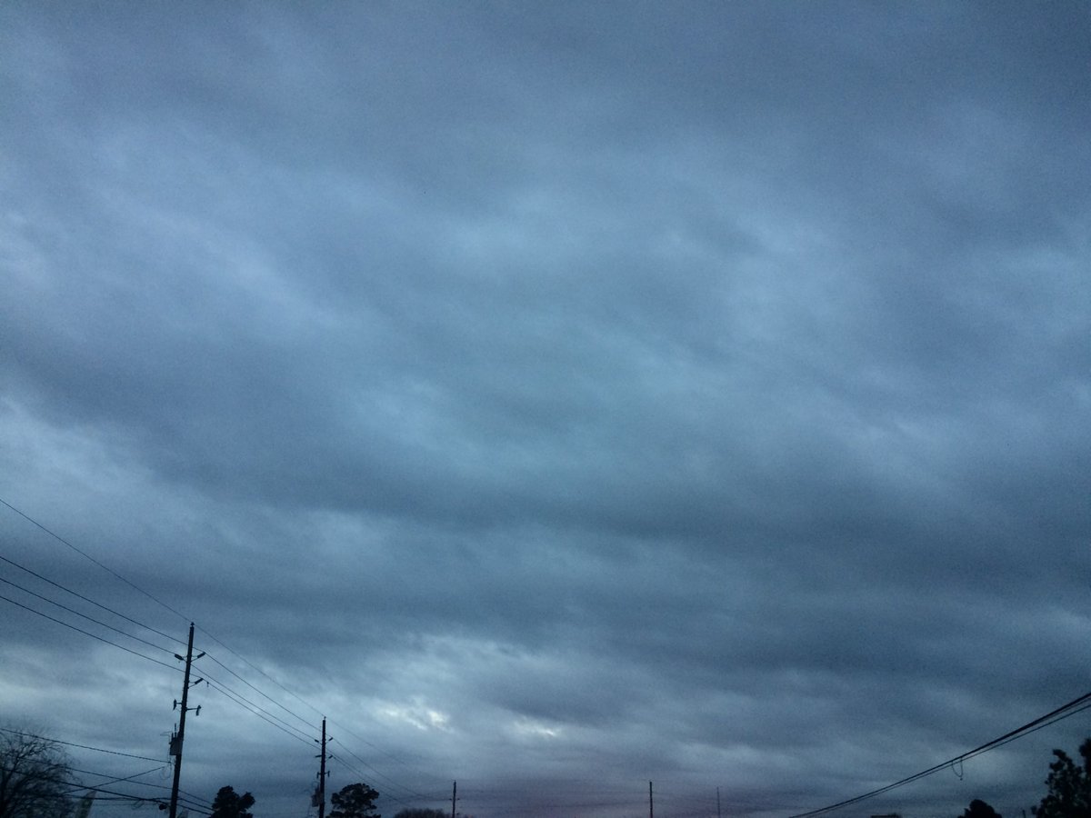
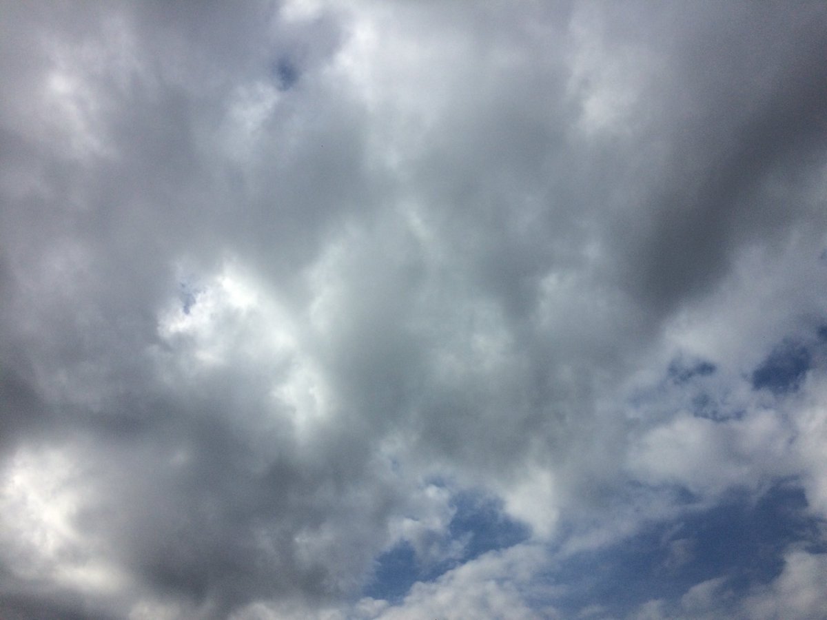
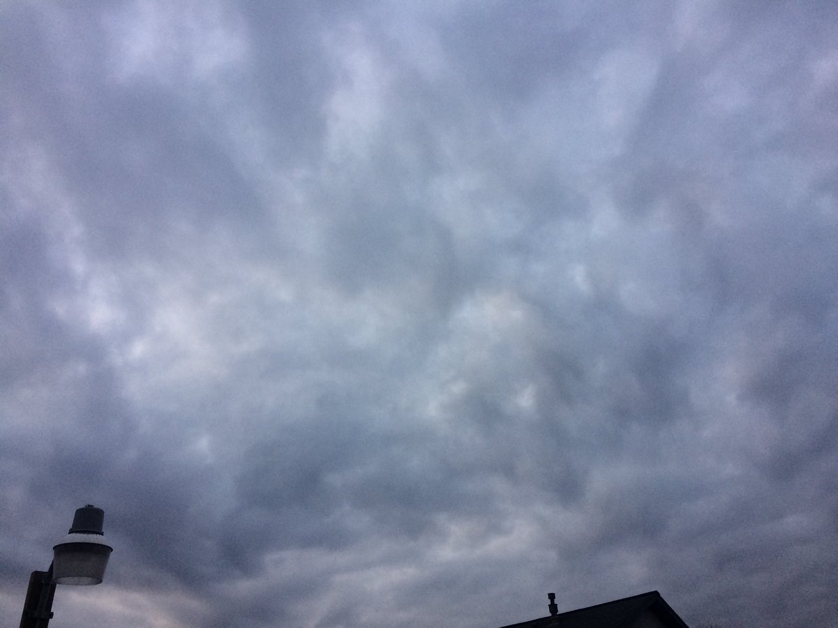
Locations: Northwest Houston, TX.
Thoughts: The sky stayed mostly cloudy. No known precip for the Houston, TX area, that I know of. Maybe some very isolated light showers. I think I felt a few drops of precip. The day was cool with lows in the 40's and highs in the 50's.
Area Forecast Discussion
Issued by NWS Houston/Galveston, TX
Issued by NWS Houston/Galveston, TX
Versions: 1 2 3 4 5 6 7 8 9 10 11 12 13 14 15 16 17 18 19 20 21 22 23 24 25 26 27 28 29 30 31 32 33 34 35 36 37 38 3940 41 42 43 44 45 46 47 48 49 50
000
FXUS64 KHGX 030359
AFDHGX

Area Forecast Discussion
National Weather Service Houston/Galveston TX
959 PM CST Fri Feb 2 2018

.UPDATE...
Regional moisture levels are beginning to creep up upon low level
easterly veering southeasterly winds. As a nearshore warm front
moves onshore tomorrow...near 0.6 inch pw air will moisten up into
the 1.2 to 1.3 inch range by tomorrow afternoon. Lower level
southeasterlies pulling in a more moist western Gulf air mass...with
a passing early Saturday shortwave disturbance within the the mid
to upper level southwesterly flow...will increase Saturday`s POPS
to likely. A passing NW Gulf low level low will aid in pulling
the coastal warm front inland and thus providing the impetus
(along with the passing shortwave) in producing light rain or
showery Saturday weather. Tomorrow`s skies will remain overcast
and cool with morning lower to middle 40s slowly warming into the
average lower to middle 50s by mid-day. An increased probability
for areas of Saturday night and Sunday morning dense sea fog that
will advect inland early Sunday. Damp ground and partially
clearing skies and weakening southwesterly winds will increase the
probs for more inland early Sunday fog. The bulk of the light
precipitation should transition east by the late afternoon
hours...subsidence in the wake of the early day shortwave`s
eastern exit should aid in drying the region out through the
afternoon into evening hours. 31

&&

.PREV DISCUSSION... /ISSUED 547 PM CST Fri Feb 2 2018/

AVIATION...
VFR ceilings will persist through the late evening hour. But
flying conditions should gradually deteriorate toward morning and
through the day tomorrow as a warm front starts lifting north and
upper level disturbances move in from the southwest. The
combination of the two will lead to periods of rain, drizzle, fog
and lowering ceilings. Conditions will first trend into MVFR
territory in the morning...probably trending toward IFR conditions
closer to the coast as the day progresses. Precip should taper off
in the late afternoon and early evening as the disturbances move
off to the east, but would anticipate continued, if not worsening
conditions as fog sets in Sat night.  47

PREV DISCUSSION... /ISSUED 402 PM CST Fri Feb 2 2018/
A rather active weather pattern for SE TX is expected through
this forecast cycle...featuring the southern stream jet, coastal
trofs, upper level disturbances and at least a couple of cold
fronts.

Starting tonight, rain chances will be on the increase from the SW
as coastal trof develops near the lower TX coast and then helps to
focus low-level moisture in that region. This system to deepen and
evolve into an area of weak low pressure with a warm front extend-
ing up the coast. This front will bring much warmer/moist air into
SE TX early Sat. This combined with the an upper level disturbance
approaching from the west to produce scattered/numerous showers...
and perhaps an isolated thunderstorm or two through the day on Sat.
The progged PWs of 1.2 - 1.5 inches also supports the idea of some
locally heavy rains embedded within all of this precipitation. The
best rain chances should be over the southern and eastern portions
of the CWA. Rain chances will drop off Sat night as these features
move off to the E/NE. However, the increased moisture along with a
return of onshore winds should create favorable conditions for fog
and sea fog from overnight Sat through Sun.

Warm temperatures progged for Sun afternoon...but cooler/drier air
will be filtering into the area Sun night in the wake of an almost
backdoor cold front from the ENE. Cool with cloudy skies (courtesy
of the persistent zonal/slightly southwesterly flow aloft) expect-
ed for Mon. However...rain chances are progged to return late Mon/
Tues as another upper trof digging south in the lee of the Rockies
helps to deepen the SW flow aloft and drags another disturbance in
from the SW. Long-range guidance indicating some rather healthy PW
values surging in from the Gulf (ranging from 1.4 - 1.7 inches) at
this time. This along with the progs of a persistent SW flow aloft
should help to keep a mention of low POPS in for most of next week.
41

MARINE...
Winds and seas should continue to decrease this evening and tonight
which should bring an end to the advisory. Winds may linger around
15 knots as they turn from northeast to southeast tomorrow. A warm
front should move across the waters tomorrow allowing for a chance
of showers. Sea fog may be a possibility as dewpoints increase to
the low 60s and water temperatures are in the 50s. Sea fog may
linger through Sunday night as a weak front pushes off the coast by
Monday morning. Winds quickly turn to the southeast Tuesday with
another cold front expected Wednesday morning. Other than possible
dense fog advisories, it will not be until the mid week front that
conditions support small craft advisories.

Overpeck

&&

.PRELIMINARY POINT TEMPS/POPS...
College Station (CLL)      58  43  58  50  74 /  10  10  50  10  10
Houston (IAH)              60  44  57  53  74 /  10  20  70  30  10
Galveston (GLS)            59  48  59  56  68 /  20  30  70  30  10

&&

.HGX WATCHES/WARNINGS/ADVISORIES...
TX...NONE.
GM...SMALL CRAFT SHOULD EXERCISE CAUTION until 2 AM CST Saturday for
     the following zones: Coastal waters from Freeport to the
     Matagorda Ship Channel out 20 NM...Coastal waters from High
     Island to Freeport out 20 NM.

     Small Craft Advisory until 2 AM CST Saturday for the following
     zones: Waters from Freeport to the Matagorda Ship Channel
     from 20 to 60 NM...Waters from High Island to Freeport from
     20 to 60 NM.

&&

$$

Discussion...31
No comments:
Post a Comment