
Houston, TX radar, during the early morning.

A river flood warning issued for the New Caney, TX area.

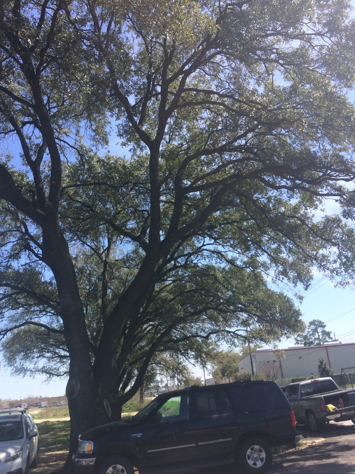
Northwest Houston, TX, during the early morning.

Another Flood Warning issued for the New Caney, TX area.
Northwest Houston, TX, during the early afternoon.

Northwest Houston, TX, during the early morning.


The Galleria area of Houston, TX, during the early evening.

The Galleria area of Houston, TX, during the late evening.

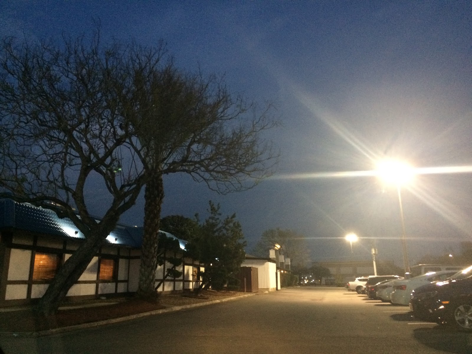
West Houston, TX, during the late evening.

West Houston, TX, during the early night.

Houston, TX radar, during the early night.

West Houston, TX, I think, during the late night.
Locations: Northwest and west Houston, TX, and the Galleria area of Houston, TX.
Thoughts: The day was mostly cloudy with some light to moderate rain and drizzle during the early and maybe mid-morning.
Area Forecast Discussion
Issued by NWS Houston/Galveston, TX
Issued by NWS Houston/Galveston, TX
Versions: 1 2 3 4 5 6 7 8 9 10 11 12 13 14 15 16 17 18 19 20 21 22 23 24 25 26 27 28 29 30 31 32 33 34 35 36 37 38 3940 41 42 43 44 45 46 47 48 49 50
000
FXUS64 KHGX 020554
AFDHGX

Area Forecast Discussion
National Weather Service Houston/Galveston TX
1154 PM CST Thu Mar 1 2018

.AVIATION...
High level moisture begin stripped up from the East Pac and
passing across region in the form of thinning cirrus. Models have
really backed off on the formation of any early Friday MVFR
ceiling development. Thus...have pulled back and adjusted this 06Z
issuance to communicate strictly VFR...few to sct decks at best.
Primarily sky clear...maybe mid to high level scattered ceilings
...through this period. Early day northeasterlies will veer
easterly tomorrow. 31

&&

.PREV DISCUSSION... /ISSUED 744 PM CST Thu Mar 1 2018/

NEAR TERM [Through Tonight]...

This was a good way to start March since February was so cloudy.
Front has pushed well into the Gulf with high pressure over the
central Plains per surface analysis. Satellite imagery shows
mainly high clouds moving across the region which allowed for one
of the better sunsets this evening. Tomorrow should be another
nice day with high temperatures in the 70s and dry NE winds.

Overall the forecast looks on track and only updates were to keep
pace with ongoing trends in T/Td.

Overpeck

PREV DISCUSSION /Issued 553 PM CST Thu Mar 1 2018/...

AVIATION...
Western cirrus streaming overhead with a slowly weakening post-frontal
northerly wind during the first half of the TAF period. Concerning
the early Friday MVFR ceilings...confidence is somewhat low on
occurrence as models have backed off on the formation of this
deck. Still went BKN015 prevailing but will have to re-access in
the 06Z package. VFR tomorrow with just a few cumulus...a scattered
mid level deck or sky clear the three main options from late
morning on through Friday sunset. Weak winds will veer around to
the east tomorrow and become southeasterly Saturday afternoon. 31

&&

.PRELIMINARY POINT TEMPS/POPS...
College Station (CLL)      50  73  50  69  58 /   0   0  10  10  30
Houston (IAH)              54  74  49  70  57 /   0   0  10  10  30
Galveston (GLS)            60  69  57  67  62 /   0   0  10  10  20

&&

.HGX WATCHES/WARNINGS/ADVISORIES...
TX...NONE.
GM...SMALL CRAFT SHOULD EXERCISE CAUTION through Friday morning for
     the following zones: Coastal waters from Freeport to the
     Matagorda Ship Channel out 20 NM...Coastal waters from High
     Island to Freeport out 20 NM...Galveston Bay...Matagorda
     Bay...Waters from Freeport to the Matagorda Ship Channel
     from 20 to 60 NM...Waters from High Island to Freeport from
     20 to 60 NM.

&&

$$

Discussion...39
Aviation/Marine...31
No comments:
Post a Comment