
Flood Warnings and a Dense Fog Advisory for the Houston, TX area, during the early morning.
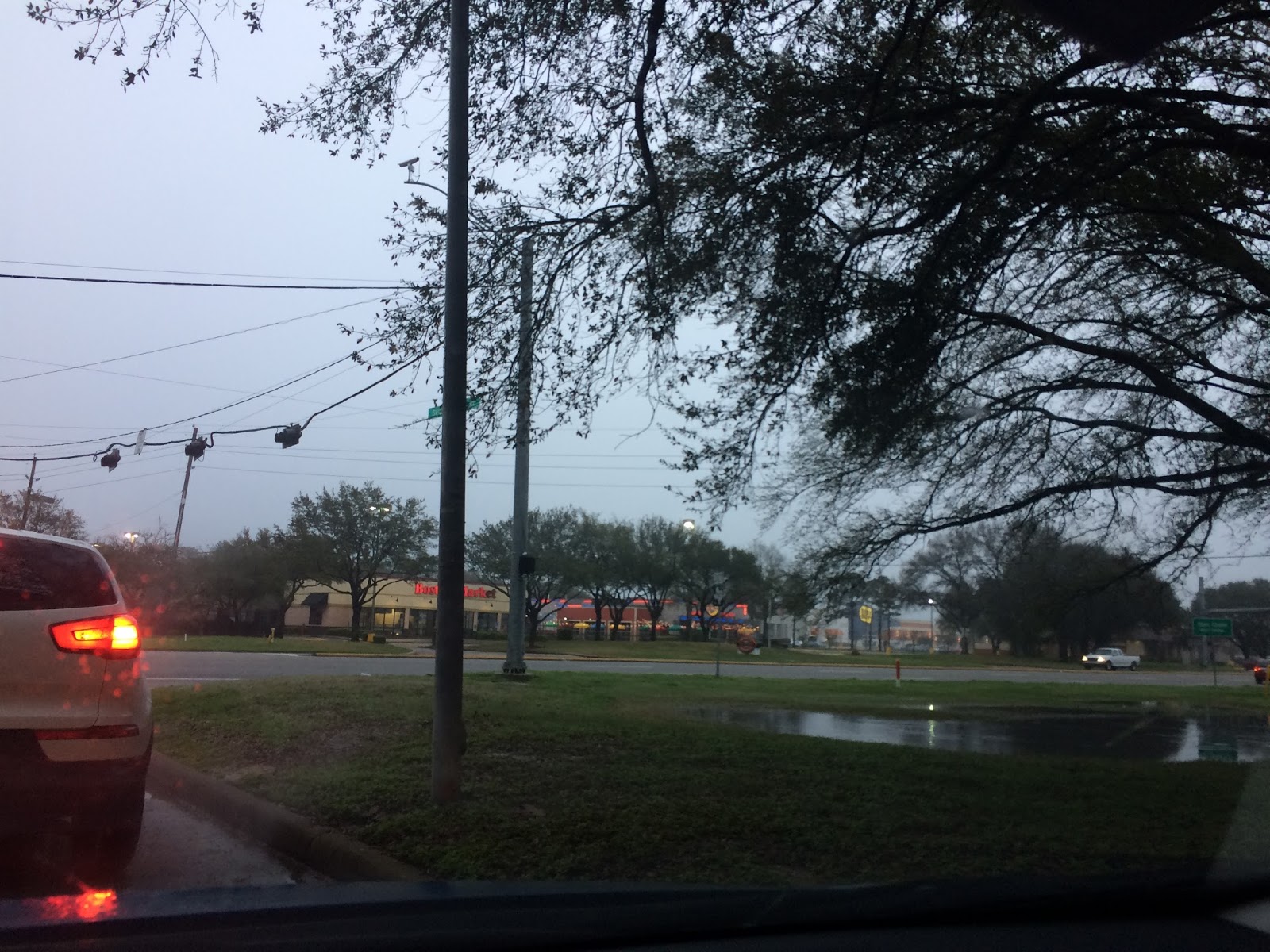
Northwest Houston, TX, during the early morning.

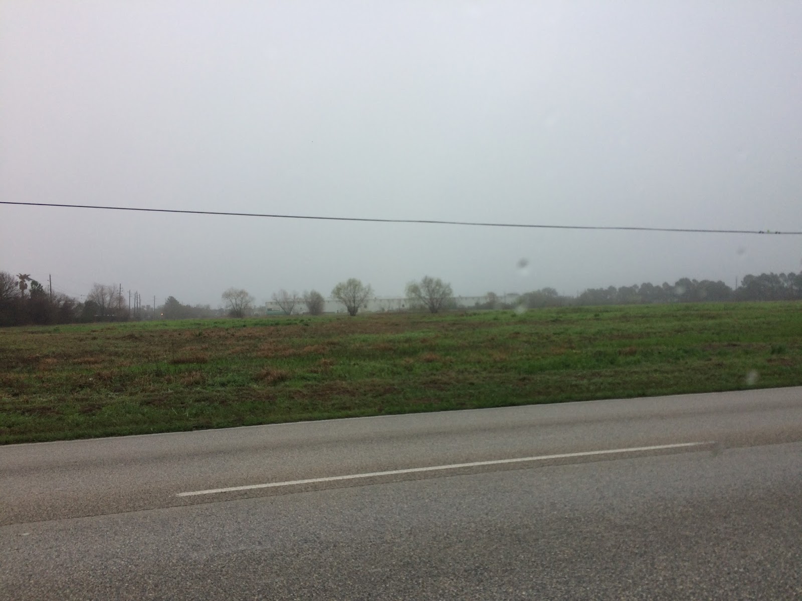
Northwest Houston, TX, during the early afternoon.

Northwest Houston, TX, during the late evening.
Locations: Northwest Houston, TX.
Thoughts: Just some dense fog and some possible drizzle, during the early and maybe mid-morning, but I don't think anything else happened after that. I think the day was warm and mostly cloudy.
Area Forecast Discussion
Issued by NWS Houston/Galveston, TX
Issued by NWS Houston/Galveston, TX
Versions: 1 2 3 4 5 6 7 8 9 10 11 12 13 14 15 16 17 18 19 20 21 22 23 24 25 26 27 28 29 30 31 32 33 34 35 36 37 38 3940 41 42 43 44 45 46 47 48
000
FXUS64 KHGX 270331
AFDHGX

Area Forecast Discussion
National Weather Service Houston/Galveston TX
931 PM CST Mon Feb 26 2018

.UPDATE...
Previous forecast appears to be on track. Clouds fill back in
overnight with some patchy fog possible during the early morning
hours.  11

&&


.PREV DISCUSSION... /ISSUED 555 PM CST Mon Feb 26 2018/

AVIATION [00Z TAF Issuance]...

Surface analysis has stalled frontal boundary out in the Gulf and
just off the Middle Texas Coast. Visible satellite imagery shows
mainly some mid level cloud cover which should continue the next
several hours across. Nighttime and fog satellite imagery will be
monitored closely to track trends in low cloud cover as the
frontal boundary pushes north as a warm front the next 24 hours.

KLBX/KGLS...should start to see isentropic lift increase over the
frontal boundary leading to an increase in low stratus cloud
cover from 03 to 08Z. There may be enough moisture and lift for
some enhanced showers but expect that to be west of the terminals.
Warm front looks to push through 08Z to 14Z with IFR ceilings
developing with some fog/drizzle. Winds should increase behind the
warm front in the afternoon tomorrow and expect ceilings to rise
to MVFR.

KIAH/KHOU/KSGR...Should have VFR conditions until about 04-06Z
with MVFR conditions developing with increased isentropic lift
with the warm front. Warm front should push through 10-16Z with
IFR ceilings possible and a mix of fog/drizzle perhaps an isolated
shower but again looks like shower activity may be focused west
of Houston. Ceilings should lift to MVFR in the afternoon with
stronger winds and mixing expected.

KCXO/KUTS/KCLL...VFR conditions expected until about 06-09Z with
MVFR conditions developing as isentropic lift increases with the
warm front. Warm front should push through 12-20Z with IFR
ceilings possible and a mix of fog/drizzle, perhaps an isolated
shower. Showers may be more likely to impact KCLL in the late
morning. Ceilings should lift to MVFR in the afternoon but this
may be short lived with ceilings decreasing in the evening
tomorrow.

Overpeck

&&

.PRELIMINARY POINT TEMPS/POPS...
College Station (CLL)      57  73  65  78  56 /  10  70  20  40  80
Houston (IAH)              60  76  67  80  62 /  10  40  20  20  60
Galveston (GLS)            63  72  67  75  66 /  10  30  20  10  50

&&

.HGX WATCHES/WARNINGS/ADVISORIES...
TX...NONE.
GM...SMALL CRAFT SHOULD EXERCISE CAUTION until midnight CST tonight
     for the following zones: Coastal waters from Freeport to
     the Matagorda Ship Channel out 20 NM...Coastal waters from
     High Island to Freeport out 20 NM...Waters from Freeport to
     the Matagorda Ship Channel from 20 to 60 NM...Waters from
     High Island to Freeport from 20 to 60 NM.

&&

$$

Discussion...11
No comments:
Post a Comment