
Northwest Houston, TX, during the mid-morning.

Southeast Houston, TX, during the late morning.

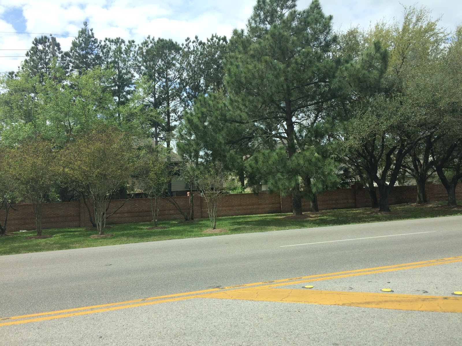
The Galleria area of Houston, TX, during the late morning.
West Houston, TX, during the early afternoon.

Northwest Houston, TX, I think, during the mid-afternoon.

Cypress, TX, I think, during the early evening.

Houston, TX radar, during the early night.

Houston, TX radar, during the late night.
Locations: Northwest, west, southwest, southeast, and the Galleria area of Houston, TX, and Cypress, TX.
Thoughts: The day was mostly cloudy with some possible isolated light showers and drizzle.
Area Forecast Discussion
Issued by NWS Houston/Galveston, TX
Versions: 1 2 3 4 5 6 7 8 9 10 11 12 13 14 15 16 17 18 19 20 21 22 23 24 25 26 27 28 29 30 31 32 33 34 35 36 37 38 3940 41 42 43 44 45 46 47 48 49 50
000
FXUS64 KHGX 092343
AFDHGX

Area Forecast Discussion
National Weather Service Houston/Galveston TX
543 PM CST Fri Mar 9 2018

.AVIATION...
Ceilings should gradually drop into MVFR territory late this
evening and overnight. An upper level disturbance moving in from
the west may trigger some spotty shra and isolated tsra across
portions of the area...from say 4-14z. Better chances for storms
e/se of the Galveston Bay area. Some fcst guidance shows some IFR
(and even some LIFR) cigs develop late tonight and into mid
morning as moisture becomes trapped under the cap and llvl winds
diminish. Didn`t go as bearish in the 00z TAFs, but something to
keep an eye on. Cigs should lift back to VFR by early aftn, maybe
a little later closer to the coast dependent on capping/moisture
situation. 47

&&

.PREV DISCUSSION... /ISSUED 346 PM CST Fri Mar 9 2018/
A deepening area of low pressure over far north TX will help keep
the moderate/strong onshore flow in place over SE TX through this
evening into Sat. Along with the increased low-level moisture, we
could also see some scattered showers/isolated thunderstorms dev-
elop tonight as a strong upper level jet max moves in from the NW
overnight. While the progged instability indicies are not too im-
pressive and moisture levels likely limited, we are seeing a very
favorable placement of the the upper jet (LFQ)/decent lift as per
the short-term models. Will be keeping with mainly chance POPS we
have been going with for tonight/early tomorrow. As this activity
moves out, tomorrow afternoon will be on the warm side. W/SW flow
at the low/mid levels along with clearing skies should help temps
climb into the mid 80s for most inland sites.

The strengthening cap/decreased low-level moisture should help to
limit precipitation development with the cold front on Sun. Would
not be too surprised with a very isolated shower, but this bound-
ary should move through SE TX fairly dry. Current timing has this
line entering the CWA around 12Z and off the coast by 18Z. There-
after, a much quieter* forecast as a cooler/drier airmass settles
over the region through the first part of next week. 41

(quieter* caveat - see fire weather discussion below)

&&

MARINE...
With high pressure exiting to the east and a developing low over
the Great Plains, winds have risen to caution levels on the Gulf
while seas have also risen to near SCEC thresholds. Expect these
breezy winds to continue at least through tonight, though they may
see a slight lull tomorrow until a cold front pushes through very
late tomorrow night/very early Sunday. Winds will become
northerly behind the front, and look likely to increase enough to
require a small craft advisory Sunday into Monday. Beyond that,
winds will slowly diminish and turn northeasterly. In the latter
half of the week, winds will veer enough to become onshore again,
likely by Thursday.

With the persistent onshore winds, tides are running a half foot or
more above astronomical levels. However, since the astronomical
tides are relatively low, coastal issues are not anticipated. On the
flip side of the front, we may need to watch for low water with the
offshore winds behind the front. Fortunately, at this time models do
not indicate a strong threat of this, though the progged levels at
Morgan`s Point do suggest low water may be possible. Luchs

&&

FIRE WEATHER...
An influx of drier air behind the weekend cold front will result
in low relative humidity for much of the week. Small patches may
fall below 35 percent RH as early as Sunday afternoon, which could
pose some issues as winds behind the front will still be in the
10-15 mph range. While red flag thresholds are probably safe, it
will be noticeably drier and breezier. While fine fuels are in
good shape for now, they will be most responsive to the drop in
RH, even if they see light rainfall. Additionally, per Texas A&M
Forest Service data, 100 hour fuel moistures are below the 25th
percentile, and may not see enough rain for significant help
there. 1000 hour fuels are still pretty moist, which is keeping
ERC values down, but fuel beds lacking those heavy fuels will not
be able to take advantage. Those in that particular situation may
be wise to pay attention to how much rain falls, and to the
weather for the next several days, just to be safe. Fortunately,
winds should diminish after Sunday, though dry air will remain for
much of the week as high pressure will delay the return of
onshore winds.  Luchs

&&

.PRELIMINARY POINT TEMPS/POPS...
College Station (CLL)      62  82  61  70  44 /  30  20  10  10  10
Houston (IAH)              62  81  65  76  46 /  40  30  20  10  10
Galveston (GLS)            65  75  67  74  52 /  50  40  20  10  10

&&

.HGX WATCHES/WARNINGS/ADVISORIES...
TX...NONE.
GM...SMALL CRAFT SHOULD EXERCISE CAUTION until 4 AM CST Saturday for
     the following zones: Coastal waters from Freeport to the
     Matagorda Ship Channel out 20 NM...Coastal waters from High
     Island to Freeport out 20 NM...Waters from Freeport to the
     Matagorda Ship Channel from 20 to 60 NM...Waters from High
     Island to Freeport from 20 to 60 NM.

&&

$$
Hazardous Weather Outlook
Hazardous Weather Outlook
National Weather Service Houston/Galveston TX
423 AM CST Sat Mar 10 2018

TXZ163-164-176>179-195>200-210>214-226-227-235>238-111030-
Austin-Brazoria-Brazos-Burleson-Chambers-Colorado-Fort Bend-
Galveston-Grimes-Harris-Houston-Jackson-Liberty-Madison-Matagorda-
Montgomery-Polk-San Jacinto-Trinity-Walker-Waller-Washington-
Wharton-
423 AM CST Sat Mar 10 2018

This hazardous weather outlook is for portions of Southeast Texas..

.DAY ONE...Today and Tonight

Scattered showers and isolated thunderstorms will be possible this
morning.

.DAYS TWO THROUGH SEVEN...Sunday through Friday

A cold front will cross the area Sunday morning. The front will
trigger a few showers with additional rain possible in the wake of
the front. North winds will increase in the afternoon to 15 to 20
mph and gusty.

.SPOTTER INFORMATION STATEMENT...

Spotter activation will not be needed.

$$
No comments:
Post a Comment