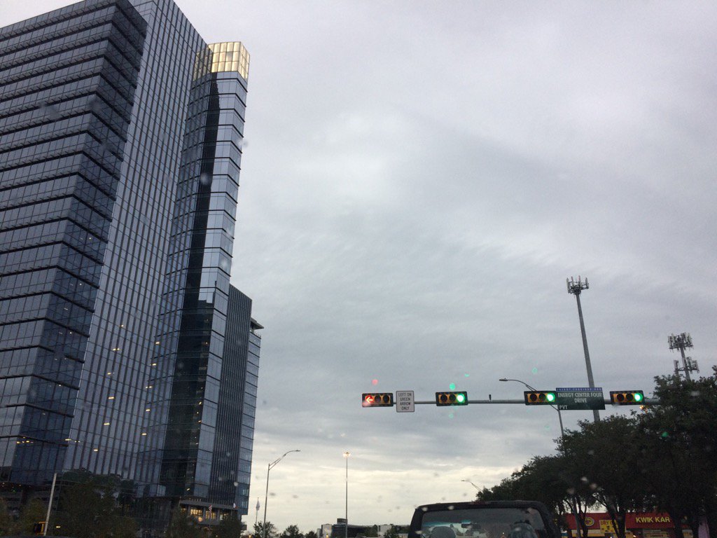
West Houston, TX during the late afternoon.
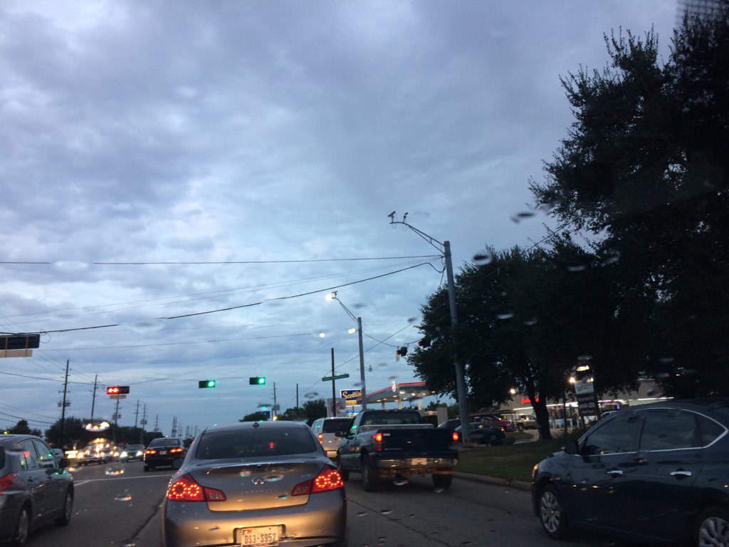
Northwest Houston, TX during the evening.
Notes: Big to small, bright white, mostly light to dark grey, thick, low stratus clouds covered the whole sky in northwest and west Houston, TX during the early morning. Big to small, bright white, mostly light to dark grey, thick, low stratus clouds covered the whole sky in west Houston, TX during the mid and late morning, and early and mid-afternoon. Big to very small, bright white, light to medium grey, thick, low stratus clouds looked to cover most of the sky in west Houston, TX during the late afternoon. Big to very small, bright white, light to dark grey, and light to medium blueish grey, thick, flat and puffy, low to high stratus clouds looked to cover most, or maybe the whole sky in northwest Houston, TX during the evening. Big to small, bright white and light to dark grey, thick, low stratus clouds looked to cover the whole, or maybe most of the sky in northwest Houston, TX during the early night. The wind speeds looked to be calm with moderate and strong gusts in northwest and west Houston, TX during the early morning. The wind speeds looked to be calm with moderate and strong gusts in west Houston, TX during the mid and late morning and afternoon. The wind speeds looked to be calm with moderate and strong gusts in northwest Houston, TX during the evening and early night. It felt cold in northwest and west Houston, TX during the early morning. It felt cold in west Houston, TX during the mid and late morning. It felt very cold in west Houston, TX during the early afternoon. It felt cold in west Houston, TX during the mid-afternoon. It felt very cold in west Houston, TX during the late afternoon. It felt very cold in northwest Houston, TX during the evening and early night. Big bands of light to moderate rain showers started to move across the west and southwest areas of Houston, TX area during the late afternoon. Light to moderate bands of showers were moving across most areas of Houston, TX during the evening and early night. There might have still been some lingering bands of light to moderate showers moving across some areas of Houston, TX during the late night. There also looked to have been some light to moderate and maybe moderately heavy showers that moved across some areas of Houston, TX during the early morning, before sunrise. The ground looked like it had just rained when I left for work in northwest Houston, TX during the early morning, before sunrise. I saw some light sprinkles in west Houston, TX during the late afternoon. I then passed through a moderate shower in northwest Houston, TX during the evening. I didn't see any more rain after that. It looked like a few light sprinkles did pass over my house during the early night, when I looked at the radar. I didn't hear about, or see any flooding, damages, or winter precip anywhere in, or near Houston, TX with light to moderate showers that passed through the Houston, TX area during the afternoon, evening, early night, and maybe early morning and late night.
Thoughts: I am staying alive so far. I am anticipating next mornings freezing temps. I am hoping it stays cloudy and that I get too see some winter precip early in the morning. I am giving a 50% chance of freezing temps and 10% chance that the freezing temps will be cold and long enough to freeze some of the left over water puddles into ice. But I am not sure if that will happen if the temperature is at, or near freezing for only a few hours.
Disclaimer: This was my observation of the weather that occurred in northwest and west Houston, TX, where I was during the day.
Freeze Warning
URGENT - WEATHER MESSAGE
NATIONAL WEATHER SERVICE HOUSTON/GALVESTON TX
607 PM CST THU DEC 8 2016

...COLD CONDITIONS FOR SOUTHEAST TEXAS...

.A LIGHT FREEZE IS EXPECTED FOR MANY AREAS NORTH OF INTERSTATE 10 LATE
TONIGHT THROUGH FRIDAY MORNING. THIS ONLY INCLUDES A PORTION OF NORTHERN
HARRIS COUNTY AS MOST LOCATIONS IN HARRIS COUNTY WILL REMAIN SLIGHTLY
ABOVE FREEZING.

TXZ213-091500-
/O.EXP.KHGX.WI.Y.0013.000000T0000Z-161209T0000Z/
/O.CON.KHGX.FZ.W.0002.161209T0600Z-161209T1500Z/
HARRIS-
INCLUDING THE CITIES OF...HOUSTON...HUMBLE...KATY...PASADENA...
TOMBALL
607 PM CST THU DEC 8 2016

...FREEZE WARNING REMAINS IN EFFECT FROM MIDNIGHT TONIGHT TO 9 AM CST
FRIDAY...

* EVENT...TEMPERATURES 30 TO 32 DEGREES TONIGHT. FREEZING
  TEMPERATURES ARE MOST LIKELY IN HARRIS COUNTY NORTHWEST OF THE
  HOUSTON AREA. THOSE LOCATIONS SOUTH OF A KATY TO SPRING LINE
  MAY NOT FREEZE.

* TIMING...MIDNIGHT TO 9 AM CST FRIDAY.

* IMPACT...FREEZING TEMPERATURES MAY RESULT IN DAMAGE TO TENDER VEGETATION
  AND SENSITIVE PLANTS AND THESE PLANTS SHOULD BE PROTECTED.

PRECAUTIONARY/PREPAREDNESS ACTIONS...

A FREEZE WARNING MEANS SUB-FREEZING TEMPERATURES ARE IMMINENT OR HIGHLY
LIKELY. THESE CONDITIONS WILL KILL CROPS AND OTHER SENSITIVE VEGETATION.

&&

$$
Hazardous Weather Outlook
HAZARDOUS WEATHER OUTLOOK
NATIONAL WEATHER SERVICE HOUSTON/GALVESTON TX
825 PM CST THU DEC 8 2016

TXZ163-164-176>179-195>200-210>213-091300-
AUSTIN-BRAZOS-BURLESON-COLORADO-GRIMES-HARRIS-HOUSTON-LIBERTY-
MADISON-MONTGOMERY-POLK-SAN JACINTO-TRINITY-WALKER-WALLER-
WASHINGTON-
825 PM CST THU DEC 8 2016

THIS HAZARDOUS WEATHER OUTLOOK IS FOR PORTIONS OF SOUTHEAST TEXAS.

.DAY ONE...TONIGHT

WIDESPREAD FREEZING TEMPERATURES ARE EXPECTED GENERALLY NORTH OF INTERSTATE
10 LATE TONIGHT THROUGH FRIDAY MORNING...WITH TEMPERATURES AT OR BELOW
FREEZING FOR 1 TO 7 HOURS. WIND CHILL VALUES MAY FALL INTO THE UPPER
TEENS TO MID 20S NORTH OF INTERSTATE 10.

.DAYS TWO THROUGH SEVEN...FRIDAY THROUGH WEDNESDAY

FREEZING TEMPERATURES ARE EXPECTED FRIDAY MORNING AND SATURDAY MORNING.

.SPOTTER INFORMATION STATEMENT...

SPOTTER ACTIVATION IS NOT EXPECTED AT THIS TIME.

$$
No comments:
Post a Comment