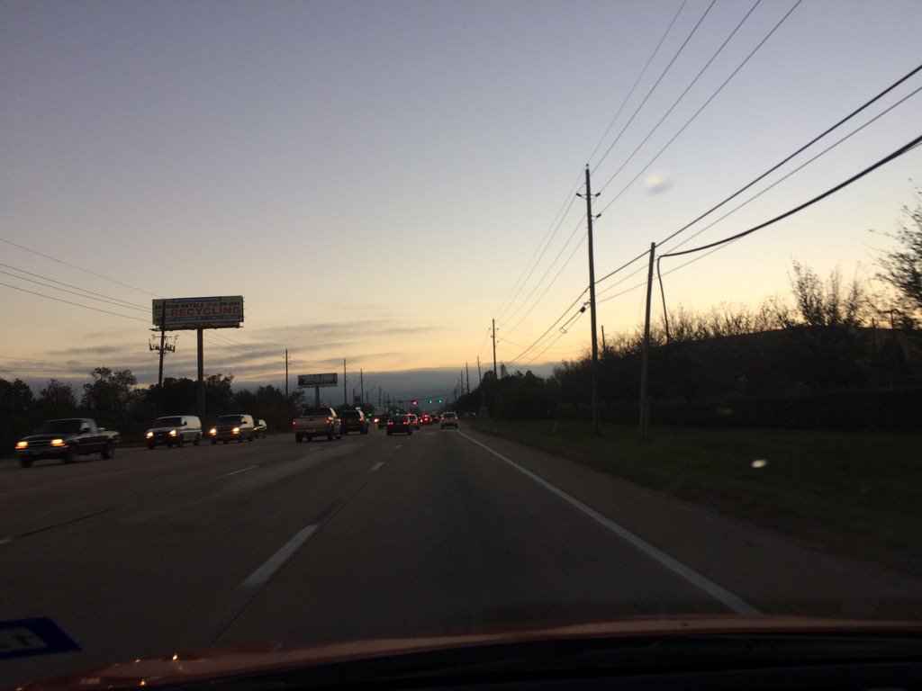
Northwest Houston, TX during the early morning.
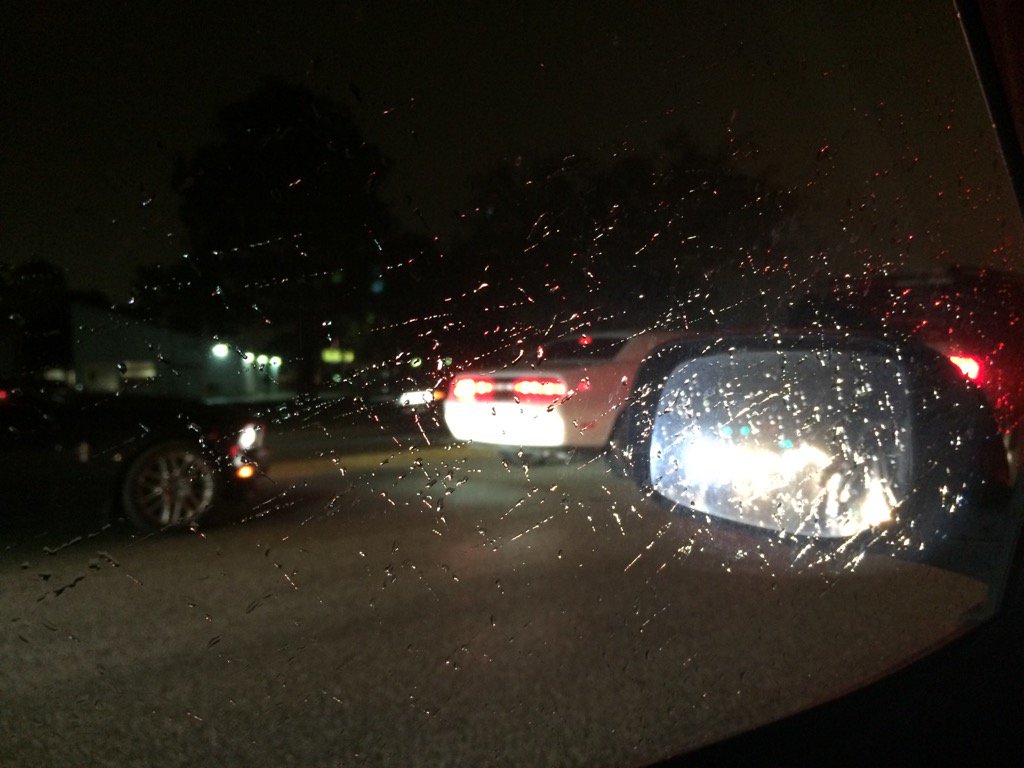
Northwest Houston, TX during the early night.
Notes: I saw a big deck of light grey, thick, flat, low stratus clouds with a few medium to small, light grey, thick, high stratus clouds in the sky in northwest and west Houston, TX during the early morning. Big to small, bright white and light to dark grey, thick, flat, puffy, low stratus clouds covered the whole sky in west Houston, TX during the mid and late morning, afternoon, and evening. Big to small, bright white and light to dark grey, thick, flat, puffy, low stratus clouds covered the whole sky in northwest and west Houston, TX during the early night. The wind speeds looked to be calm with maybe some moderate gusts in northwest and west Houston, TX during the early morning. The wind speeds looked to be calm with some moderate and maybe some strong gusts in west Houston, TX during the mid and late morning, afternoon, and evening. The wind speeds looked to be calm with some moderate and maybe some strong gusts in northwest and west Houston, TX during the early night. It felt cold in northwest and west Houston, TX during the early morning. It felt cool in west Houston, TX during the mid and late morning, afternoon, and evening. It felt cold in northwest and west Houston, TX during the early night. I saw some light to moderate sprinkles in northwest and west Houston, TX at around 6 pm. Light to moderate sprinkles and drizzle were reported in areas of Houston,TX during the night. There were also reports of dense fog in parts of Houston, TX, during the morning and afternoon. The dense fog was probably in south and east Houston, TX, near the coast.
Thoughts: I saw some light to moderate sprinkles. I wonder if I will see any more rain during the night, or tomorrow morning. The cold is coming. Almost time to see if Houston, TX will see any freezing temps.
Disclaimer: This was my observation of the weather that occurred in northwest and west Houston, TX, where I was during the day.
Hazardous Weather Outlook
HAZARDOUS WEATHER OUTLOOK
NATIONAL WEATHER SERVICE HOUSTON/GALVESTON TX
644 PM CST WED DEC 7 2016

TXZ163-164-176>179-195>200-210>214-226-227-235>238-081300-
AUSTIN-BRAZORIA-BRAZOS-BURLESON-CHAMBERS-COLORADO-FORT BEND-
GALVESTON-GRIMES-HARRIS-HOUSTON-JACKSON-LIBERTY-MADISON-MATAGORDA-
MONTGOMERY-POLK-SAN JACINTO-TRINITY-WALKER-WALLER-WASHINGTON-
WHARTON-
644 PM CST WED DEC 7 2016

THIS HAZARDOUS WEATHER OUTLOOK IS FOR PORTIONS OF SOUTHEAST TEXAS.

.DAY ONE...TONIGHT

A STRONG COLD FRONT WILL MOVE THROUGH THE REGION TONIGHT...WITH WINDY
AND COLDER CONDITIONS BEHIND THE FRONT.

.DAYS TWO THROUGH SEVEN...THURSDAY THROUGH TUESDAY

A WIND ADVISORY IS IN EFFECT ON THURSDAY ALONG THE COAST. WIDESPREAD
FREEZING TEMPERATURES MAY DEVELOP GENERALLY TO THE NORTH OF INTERSTATE
10 LATE THURSDAY NIGHT THROUGH FRIDAY MORNING...WITH TEMPERATURES AT
OR BELOW FREEZING FOR 2 TO 6 HOURS. WIND CHILL VALUES MAY FALL INTO
THE UPPER TEENS TO MID 20S NORTH OF INTERSTATE 10.

.SPOTTER INFORMATION STATEMENT...

SPOTTER ACTIVATION IS NOT EXPECTED AT THIS TIME.

$$
Wind Advisory
URGENT - WEATHER MESSAGE
NATIONAL WEATHER SERVICE HOUSTON/GALVESTON TX
355 PM CST WED DEC 7 2016

...WIND ADVISORY IN EFFECT FROM 6 AM TO 6 PM CST THURSDAY...

.A COLD FRONT WILL PUSH THROUGH SOUTHEAST TEXAS EARLY THURSDAY
MORNING. WINDS ARE EXPECTED TO INCREASE DURING THE DAY TO 20 TO 30
MPH FROM THE NORTH. WINDS SHOULD DECREASE THURSDAY EVENING AS HIGH
PRESSURE BUILDS OVER TEXAS.

TXZ213-214-235>238-081000-
/O.NEW.KHGX.WI.Y.0013.161208T1200Z-161209T0000Z/
BRAZORIA-CHAMBERS-GALVESTON-HARRIS-JACKSON-MATAGORDA-
INCLUDING THE CITIES OF...ALVIN...ANAHUAC...ANGLETON...BAY CITY...
EDNA...FREEPORT...FRIENDSWOOD...GALVESTON...HOUSTON...HUMBLE...
KATY...LAKE JACKSON...LEAGUE CITY...MONT BELVIEU...PALACIOS...
PASADENA...PEARLAND...TEXAS CITY...TOMBALL...WINNIE
355 PM CST WED DEC 7 2016

...WIND ADVISORY IN EFFECT FROM 6 AM TO 6 PM CST THURSDAY...

THE NATIONAL WEATHER SERVICE IN HOUSTON/GALVESTON HAS ISSUED A
WIND ADVISORY...WHICH IS IN EFFECT FROM 6 AM TO 6 PM CST
THURSDAY.

* EVENT...NORTH WINDS 20 TO 30 MPH WITH GUSTS OF 35 MPH.

* TIMING...6 AM CST TO 6 PM CST THURSDAY

* IMPACT...WINDY CONDITIONS COULD IMPACT TRAVEL ON AREA HIGHWAYS
  FOR HIGH PROFILE VEHICLES. ANY OUTDOOR TENTS...CANOPIES OR
  BOUNCE HOUSES WILL NEED TO BE SECURED.

PRECAUTIONARY/PREPAREDNESS ACTIONS...

DRIVERS OF VANS...CAMPERS...TRAILERS...AND OTHER HIGH-PROFILE
VEHICLES SHOULD BE ALERT TO THE DANGER OF THESE WINDS...
ESPECIALLY WHEN DRIVING ALONG EAST TO WEST ORIENTED ROADS.

&&

$$
No comments:
Post a Comment