Northwest Houston, TX, during the early morning.

West Houston, TX, during the early afternoon.

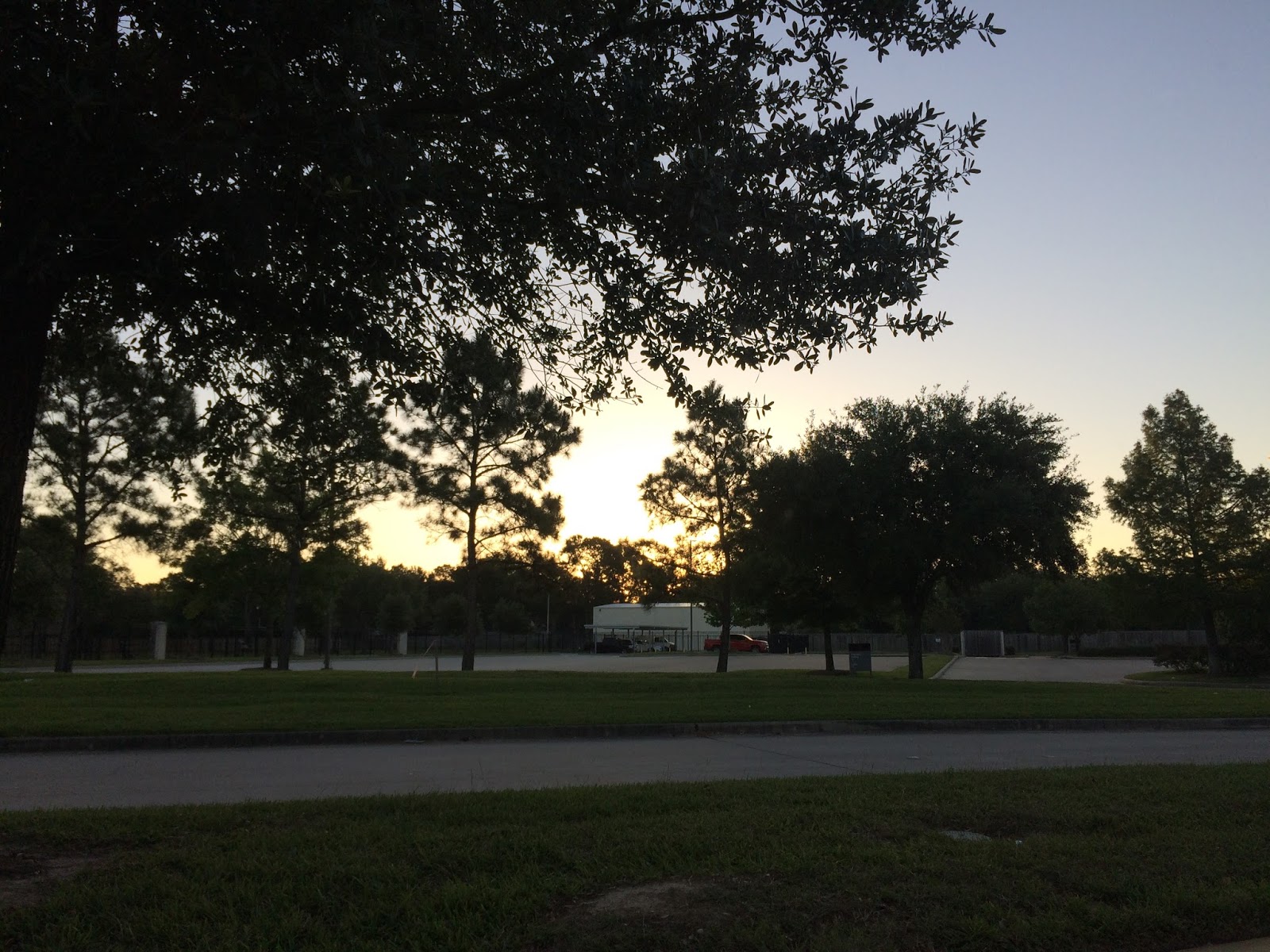
Northwest Houston, TX, during the early evening.

Northwest Houston, TX, during the late evening.

Northwest Houston, TX, during the early night.
Summary: The day was warm, sunny, and clear. No rain. The sky stayed clear. The wind speeds were calm with moderate to moderately strong gusts with some really strong gusts during the late evening and maybe night. It felt cool during the early morning, but became warm during the mid-morning. There was a air quality alert issued for the Houston, TX area. There were no other watches, warnings, alerts, advisories, or weather statements issued for the Houston, TX area, that I know of.The low temps looked to be in the 50's with high temps in the mid to upper 80's, for the Houston, TX area.
Locations: Northwest and west Houston, TX.
Thoughts: It was a nice pleasant and warm day..
Area Forecast Discussion
Issued by NWS Houston/Galveston, TX
Home | Current Version | Previous Version | Text Only | Print | Product List | Glossary Off
Versions: 1 2 3 4 5 6 7 8 9 10 11 12 13 14 15 16 17 18 19 20 21 22 23 24 25 26 27 28 29 30 31 32 33 34 35 36 37 38 39 40 41 42 43 44 45 46 47 48 49 50
000
FXUS64 KHGX 020225
AFDHGX
Area Forecast Discussion
National Weather Service Houston/Galveston TX
925 PM CDT Mon May 1 2017
.UPDATE...
There is nothing enlightening to share this evening concerning the
near term forecast. Overnight starry skies...near calm variable
inland breezes...with slightly higher interior moisture than 24
hours ago (more significant across far northern counties).
This set-up will likely equate to minimum temperatures in the
average upper 50s to lower 60s/around 70 F along coast with a more
persistent onshore wind. Above normal warmth Tuesday under mostly
sunny skies...breezy south winds...as afternoon temperatures reach
the average upper 80s to lower 90s (early May norm maxTs are in
the lower 80s). Precipitation/storm chances increase Wednesday
from lead shortwave disturbances riding downstream of Desert SW
troughing. Storm probabilities will heighten with a possible
splitting jet structure in tandem with a southwestern-advected
1.6-1.7 inch pwat becoming-increasingly-unstable regional air
mass. 31
&&
.PREV DISCUSSION... /ISSUED 627 PM CDT Mon May 1 2017/
AVIATION...
VFR for the next 24+ hours. 47
PREV DISCUSSION... /ISSUED 228 PM CDT Mon May 1 2017/
Another lovely day across Southeast Texas today, with more heat
expected tomorrow. Changes come late Tuesday night and Wednesday,
with showers, storms, and potential for severe weather.
NEAR TERM [Through Tuesday]...
Another gorgeous, albeit warmer day is in progress across Texas.
However, after a slightly cooler than average day yesterday and a
bit of a chilly start, that makes for high temperatures today
around those seasonal averages. As onshore flow becomes a little
stronger tonight, look for dewpoints to rise, and thus keep low
temperatures tonight warmer than the past couple of nights. It
won`t necessarily feel swimming pool humid, but should be much
more typical of late April/early May rather than the crisp nights
we`ve seen. With the higher temperature floor and typical pre-
frontal warmth, expect Tuesday to be quite warm, with a swath of
high temperatures near 90 forecast well inland.
SHORT TERM [Tuesday Night Through Thursday Morning]...
Look for a change in weather Tuesday night, as a shortwave trough
will approach and move through the area late tonight and
Wednesday morning. Clouds will increase from the southwest,
beginning just before midnight around Matagorda Bay. The shortwave
should be over our area early Wednesday morning, and despite the
atypical time diurnally speaking, sufficient instability looks to
be present to support a morning round of storms, with the best
chances coming near the coast. The low level jet should be kicked
in still, meaning low level flow will be more southerly than
southwesterly, minimizing potential for capping. The wind profile
looks to veer well with height, from southeasterly at the surface,
through southwesterly, and to westerly at 500 mb. Speed
differences are not as impressive which may mitigate shear
potential to some extent, but keep an eye out for early severe
weather here, with hail the most threatening. Additionally,
hodographs look pretty stout, particularly in the 0-1 km range, so
if any storms manage to latch on to some type of coastal
boundary, a tornado or two certainly can`t be ruled out.
As the front comes through later in the day, we are likely to
still be dealing with a significant amount of instability. Some
models continue to suggest up to 4000 j/kg. That may be
unrealistic, particularly if morning storms leave behind some
debris clouds to hamper heating. Regardless, instability will
easily be sufficient and many of the ingredients for an
environment supportive for storms on the front will be in place
for a second round of storms. The big question mark will be the
wind structure. Though impressive this morning, the wind profile
looks to become pretty unidirectional out of the southwest from
850 mb and up. This would be harmful to deep layer shear
magnitude, and would also introduce the potential to create a
failure mode through capping, just as we saw Saturday. Since the
big upper trough looks to lag too far behind the front to add much
dynamic support, we`ll also be looking at shortwave timing. All of
these are difficult to predict beyond the day of (and even then,
it`s still sometimes hard to tell), so confidence in how this
potential second round of storms will play out is a bit lower. We
are in a marginal risk area from SPC for this day, likely mainly
because of these uncertainties. If things look to be lining up
right, expect this risk level to increase. Please continue to
monitor forecasts into Wednesday.
LONG TERM [Thursday Afternoon Through Monday]...
Once the front clears through, cooler and drier air again floods
into Southeast Texas. Ridging will build in the following days,
resulting in quiet weather and gradually warming temperatures.
MARINE...
Southwesterly winds around 10 knots will become south
and southeasterly in the nearshore waters with the lighter winds
well offshore becoming southeasterly. The SE flow continues
through Wednesday morning in advance of a cold front that should
usher in moderate to strong offshore winds early Thursday morning.
SCA conditions 12z through the afternoon. May peak wind gusts
30-35kts Thursday morning. High pressure maintains the offshore
flow through Friday night with surface high drifting over the
waters Saturday morning introducing light and variable winds. 45
FIRE WEATHER...
On a preliminary and non-operational note, the cooler
temperatures early this morning made it easier for GOES-16 to
detect a small fire near the Polk/Trinity county line using the
3.9 micrometer shortwave IR band this morning. After some
investigation by the USFS, it turns out this belonged to a pile
burn. If you are unfamiliar with satellite detections of fire,
suffice to say that a geostationary satellite being able to catch
a glimpse of a pile burn is very impressive.
CLIMATE...
April was generally warm across the area, with most sites in the
10-25 rank for temperatures. But it was particularly so for
Galveston. The average temperature for the month there was 75.0,
tying the record warmest value for the site, last met in 1967.
&&
.PRELIMINARY POINT TEMPS/POPS...
College Station (CLL) 58 90 66 81 56 / 0 0 40 70 40
Houston (IAH) 62 89 69 80 60 / 0 0 50 70 60
Galveston (GLS) 70 82 74 80 65 / 0 0 60 70 70
&&
.HGX WATCHES/WARNINGS/ADVISORIES...
TX...NONE.
GM...NONE.
&&
$$
Discussion...31
No comments:
Post a Comment