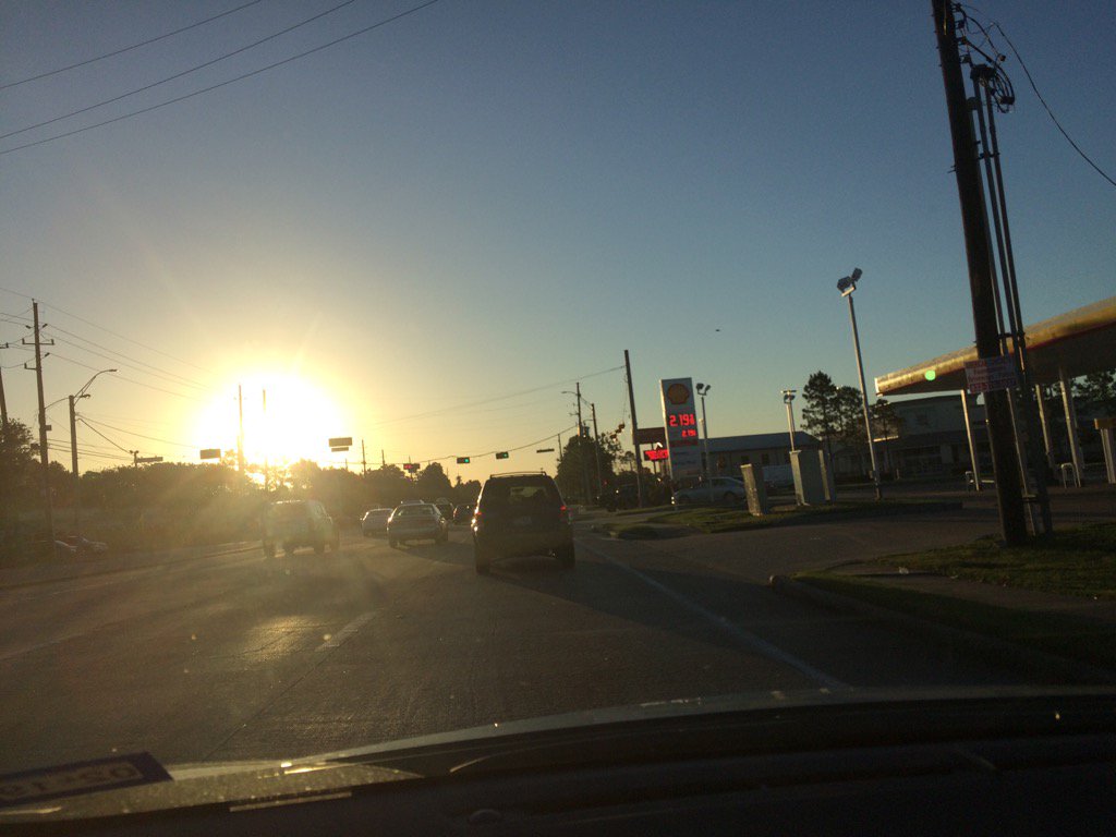
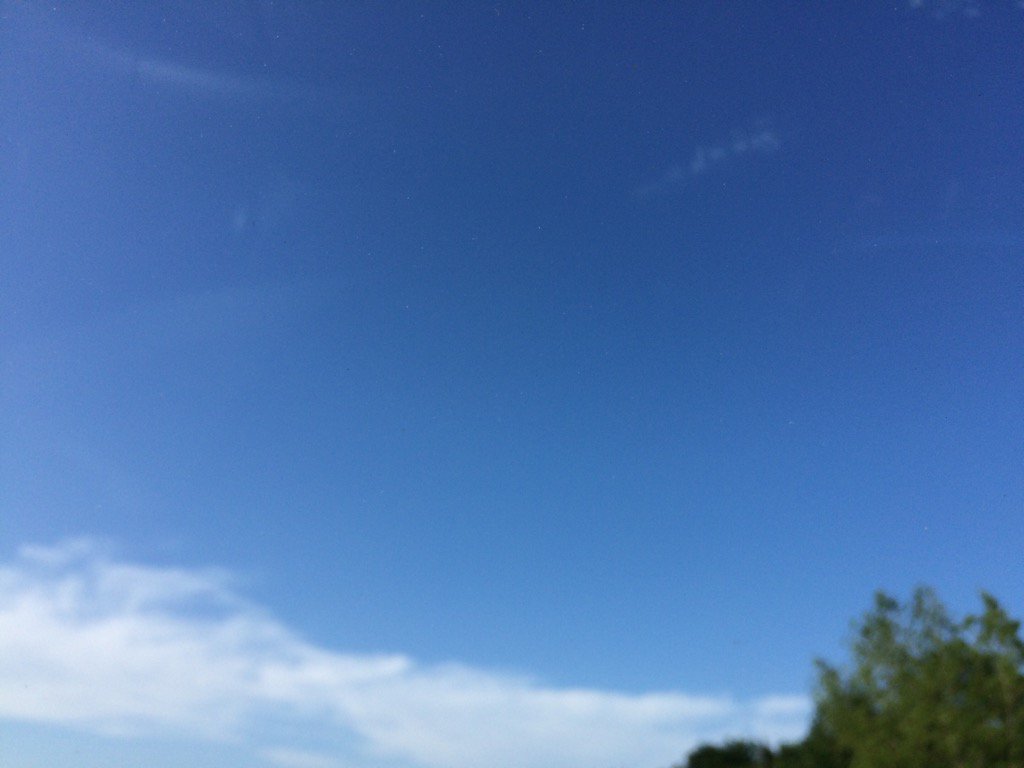
Northwest Houston, TX, during the early morning.
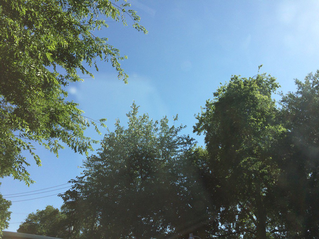
West Houston, TX, during the early afternoon.
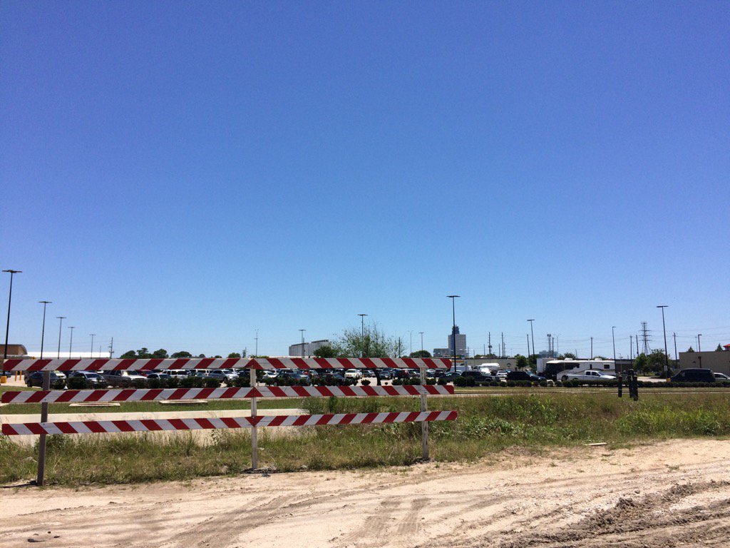
West Houston, TX, during the late afternoon.
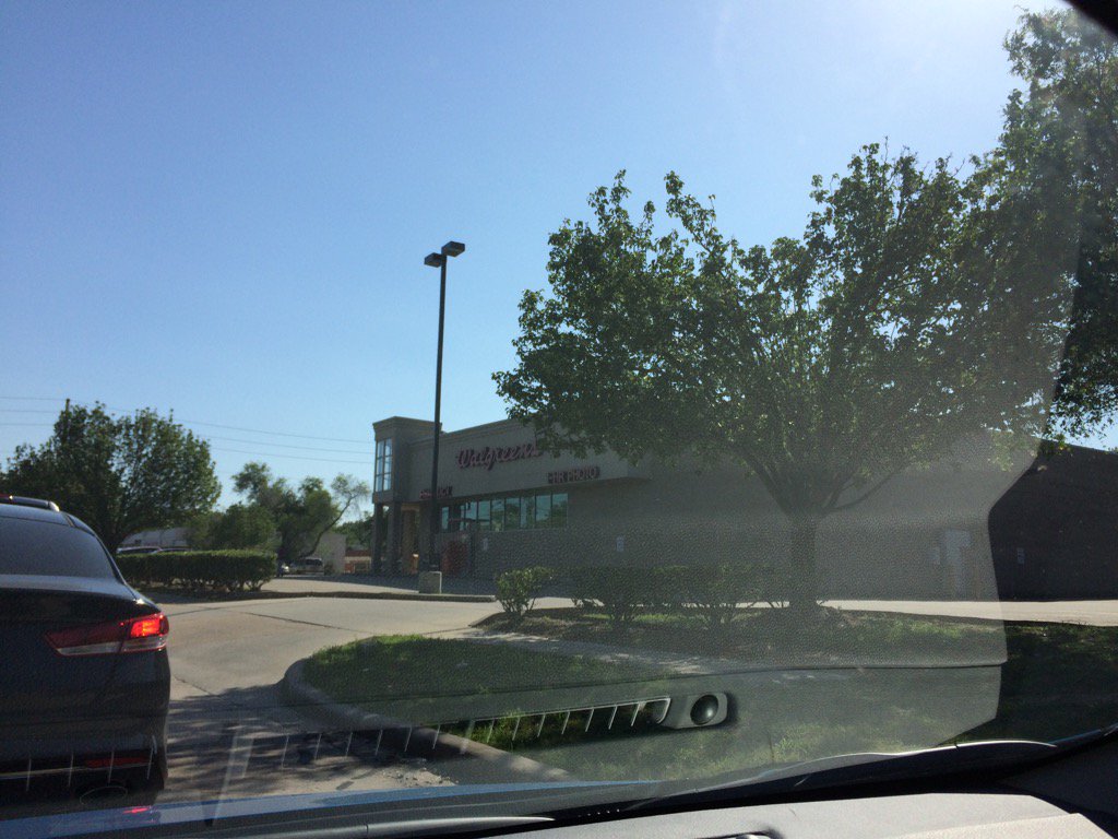
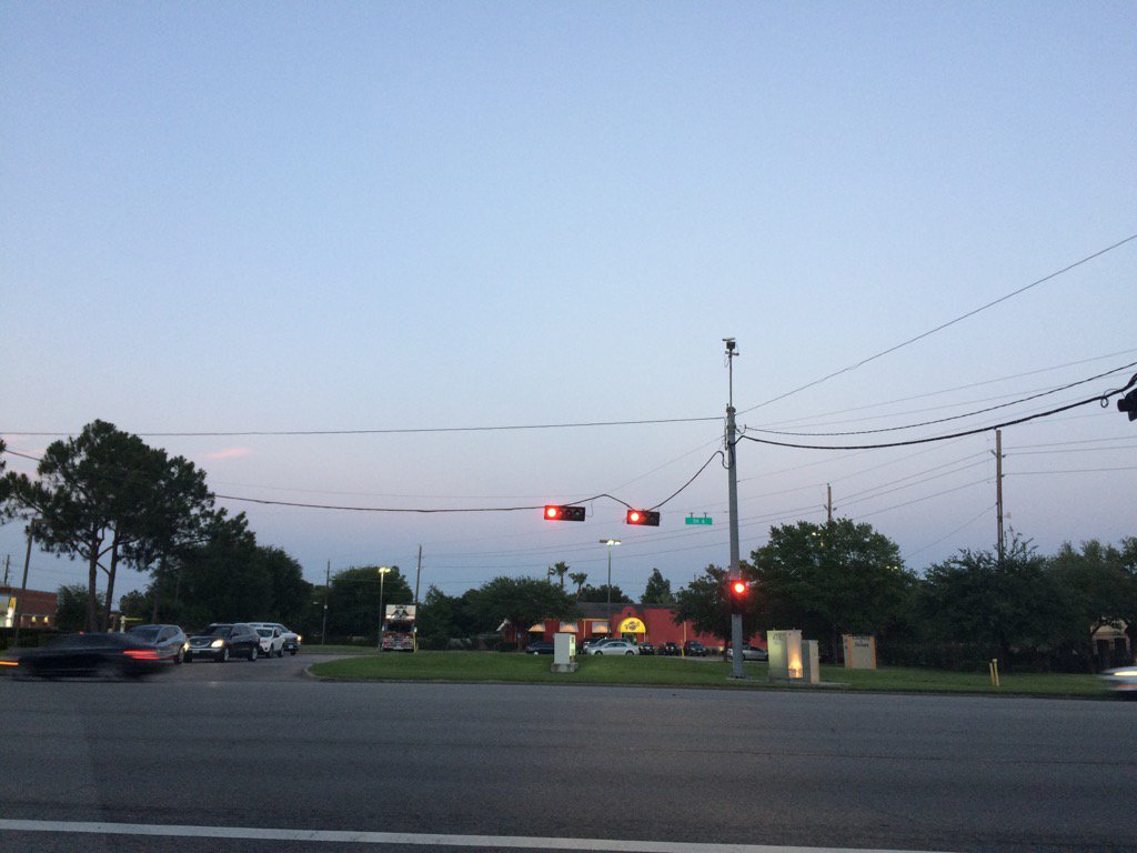
West Houston, TX, during the early evening.
Northwest Houston, TX, during the early evening.
Northwest Houston, TX, during the late evening.
Summary: The day was sunny, mostly clear, and warm. No rain. The sky was clear until the late afternoon when flat stratus clouds started to scatter the sky. The wind speeds were calm with moderate to moderately strong gusts and some really strong gusts, maybe only during the evening and night. There were no advisories, watches, warnings, alerts, or weather statements issued for the Houston, TX area, that I know of. It felt warm during the mid morning thru the night. It might have felt a little cool during the early morning. The low temps looked to be in the 60's with maybe some 50's and the high temps looked to be in the high 80's with maybe some low 90's.
Locations: Northwest and west Houston, TX.
Thoughts: Looks like there is a good chance for some heavy rain tomorrow with a possibility for some severe weather. I am going to park my car as far away from open space as I can tomorrow.
Hazardous Weather Outlook
Hazardous Weather Outlook
National Weather Service Houston/Galveston TX
422 AM CDT Tue May 2 2017

GMZ330-335-TXZ163-164-176>179-195>200-210>214-226-227-235>238-
031300-
Austin-Brazoria-Brazos-Burleson-Chambers-Colorado-Fort Bend-
Galveston-Galveston Bay-Grimes-Harris-Houston-Jackson-Liberty-
Madison-Matagorda-Matagorda Bay-Montgomery-Polk-San Jacinto-
Trinity-Walker-Waller-Washington-Wharton-
422 AM CDT Tue May 2 2017

This hazardous weather outlook is for portions of Southeast Texas..

.DAY ONE...Today and Tonight

Isolated strong to severe thunderstorms are possible late
tonight. The main threat will be damaging winds. Secondary threats
are locally heavy rainfall and isolated tornadoes.

.DAYS TWO THROUGH SEVEN...Wednesday through Monday

Better chances for thunderstorms are expected on Wednesday as a
warm front moves northward through the area. There is a slight
risk for severe storms with large hail, locally heavy rainfall
and isolated tornadoes the main threats. A line of thunderstorms
is then expected to move ahead of a cold front late Wednesday
afternoon and during the evening. There is a slight risk for
damaging winds, large hail, and locally heavy rainfall with these
storms. The thunderstorm threat is expected to end with the
frontal passage.

.SPOTTER INFORMATION STATEMENT...

Spotter activation may be needed Wednesday and Wednesday evening.

$$
Area Forecast Discussion Issued by NWS Houston/Galveston, TXVersions: 1 2 3 4 5 6 7 8 9 10 11 12 13 14 15 16 17 18 19 20 21 22 23 24 25 26 27 28 29 30 31 32 33 34 35 36 37 3839 40 41 42 43 44 45 46 47 48 49 50
400 FXUS64 KHGX 030245 AFDHGX Area Forecast Discussion National Weather Service Houston/Galveston TX 945 PM CDT Tue May 2 2017 .DISCUSSION... No significant changes for the update...just minor tweaks based on current obs/trends. Satellite imagery shows a surge of cloudiness and a return of Gulf moisture making its way up the coast and into se Tx. An approaching disturbance from the sw and some llvl speed convergence should be enough to develop and expand an area of shra and embedded tstms from roughly 3-11 am or so. Can`t rule out a few embedded strong/severe storms. This disturbance moves into La during the aftn, potentially allowing the local atmos time to recharge for round 2 later in the day. Am a little concerned that guidance is trying to veer the flow aloft more sw/wsw a bit faster than what has been seen, and a warm nose (cap) is starting to show up in some of the fcst soundings around 700mb. That being said, and assuming it can be overcome with forcing as almost all guidance suggests, other parameters still look pretty good for a line of storms to develop along a cold front moving into the region during the aftn and evng hours. These too could be strong to severe w/ hail & wind being the primary threat in the pm. 47 && .PREV DISCUSSION... /ISSUED 655 PM CDT Tue May 2 2017/ AVIATION... Complicated aviation forecast for tonight through tomorrow morn- ing as we await the warm front from Gulf and then the next cold front toward the end of this TAF package. Did not make a lot of changes with the previous forecast in terms of lowering CIGS to MVFR (mostly) as the warm/moist airmass moves across SE TX, and then the inclusion of the SHRA/TSRA as a strong shortwave moves up from the SW and interacts with the warm front. A brief break from all this active weather is expected late tomorrow morning/ early afternoon but will be looking for things to start ramping back up by late afternoon (from the north) as the cold front be- gins to move into the area. Did include an early FROPA guess at IAH (given the extended forecast period there), but could tweak it a bit as 00Z runs start coming in for the 06Z package. 41 && .PRELIMINARY POINT TEMPS/POPS... College Station (CLL) 69 84 53 76 50 / 30 80 20 0 0 Houston (IAH) 71 82 58 77 53 / 50 70 70 0 0 Galveston (GLS) 75 79 61 76 64 / 40 40 70 0 0 && .HGX WATCHES/WARNINGS/ADVISORIES... TX...NONE. GM...SMALL CRAFT SHOULD EXERCISE CAUTION through Wednesday evening for the following zones: Coastal waters from Freeport to the Matagorda Ship Channel out 20 NM...Coastal waters from High Island to Freeport out 20 NM...Waters from Freeport to the Matagorda Ship Channel from 20 to 60 NM...Waters from High Island to Freeport from 20 to 60 NM. && $$
No comments:
Post a Comment