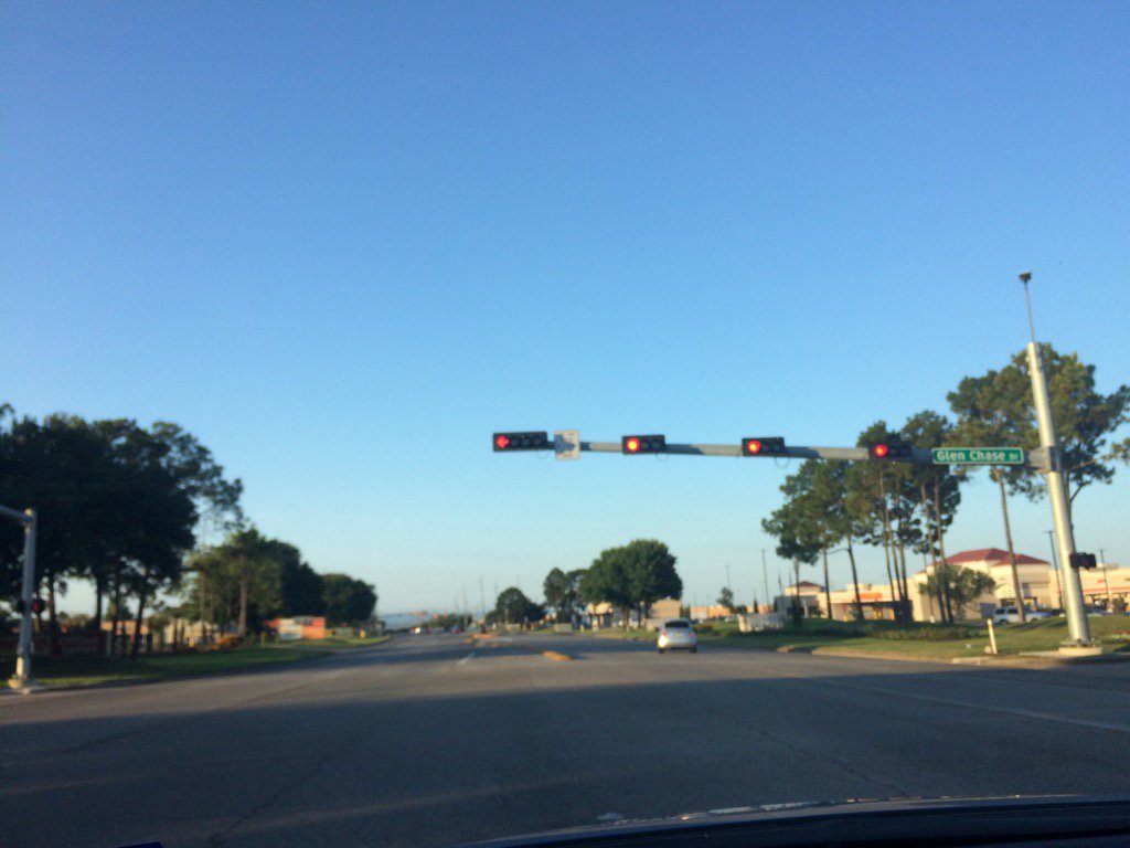
Northwest Houston, TX, during the early morning.
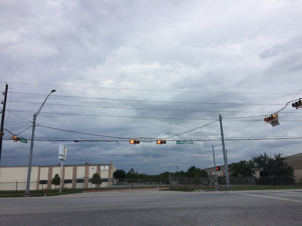
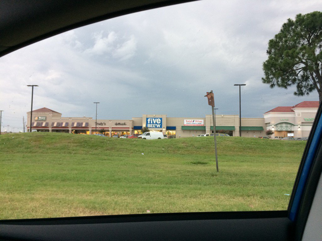
Northwest Houston, TX, during the early evening.
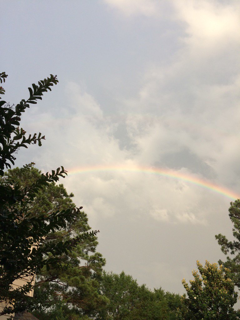
Northwest Houston, TX, during the late evening.
Summary: The day was warm, mostly sunny, and mostly dry. No rain until the evening and night as two lines of light to heavy showers moved quickly across the Houston, TX area during the evening and night. The wind speeds were calm with maybe some moderate to moderately strong gusts, during the morning and afternoon. The wind speeds were calm with moderate to moderately strong gusts and some really strong gusts, during the evening and night. It felt warm during the morning, evening, and early night. It may have felt a little cool during the late night, after the passing of the cold front. It felt very warm during the afternoon.
The sky started out cloudy during the early morning, then became clear to mostly clear, through the rest of the morning and early afternoon with some thick clouds appearing from time to time. Scattered stratus clouds covered the sky during the mid and late afternoon. The sky looked to be cloudy to mostly cloudy during the evening and night. There was a significant weather advisory, or maybe alert, along with some severe weather watches and warnings issued for the Houston, TX area, during the evening and maybe night. There was a hazardous weather statement issued for the Houston, TX area by NOAA. There was also a quality air alert issued for the Houston, TX area. The low temps were in the 60's and the high temps were in the 80's, for the Houston, TX area. I didn't hear about, or see any flooding, or storm damages from the showers and thunderstorms, other than a possible downed tree, near Katy, TX, I think.
Locations: Northwest Houston, TX
Thoughts: I enjoyed the loud thunder and lightning, as well as the rainbow.
Area Forecast Discussion
Issued by NWS Houston/Galveston, TX
Issued by NWS Houston/Galveston, TX
Versions: 1 2 3 4 5 6 7 8 9 10 11 12 13 14 15 16 17 18 19 20 21 22 23 24 25 26 27 28 29 30 31 32 33 34 35 36 37 3839 40 41 42 43 44 45 46 47 48 49 50
781
FXUS64 KHGX 240226
AFDHGX

Area Forecast Discussion
National Weather Service Houston/Galveston TX
926 PM CDT Tue May 23 2017

.UPDATE...
Main updates to the forecast tonight have been clearing counties
from Severe Thunderstorm Watch 259. The surface cold front and
associated thunderstorm activity continue to push off the Upper
Texas coast tonight, taking the threat for severe weather with it.
The KHGX radar is showing a secondary line of showers developing
approximately 100 miles to the north in the vicinity of the 850 MB
front. Despite a uniform wind direction at this level, there is
sufficient speed convergence along this feature (30 knot winds
flowing into 10 knot winds) to result in isolated to scattered
showers. The atmosphere as destabilized significantly since this
evening`s storms moved through and severe weather is not expected,
but cannot rule out a rumble of thunder. Otherwise, remainder of
forecast remains on track with dry conditions expected after
midnight and clearing skies allowing overnight temperatures to
fall to the mid 50s to mid 60s... much below normal for this time
in May.

Huffman

&&

.PREV DISCUSSION... /ISSUED 644 PM CDT Tue May 23 2017/

AVIATION...
Storms occurring ahead of the cold front will be moving across the
terminals from 00Z at KUTS to about 04-05Z at KGLS. A strong
thunderstorm should be east of KCLL by 00Z; however, more showers
were developing to the west of the site. There is a slight
possibility of a strong or severe storm with gusts in excess of
50 knots and large hail making its way through the sites between
KCXO and KHOU between 00Z and 02Z.

Expect the storms to be off the coast by 06Z. VFR conditions are
then expected. Breezy winds are expected to then develop after 15Z
Wednesday.

40

PREV DISCUSSION... /ISSUED 438 PM CDT Tue May 23 2017/

DISCUSSION...
Surface analysis as of 1 PM CDT showed an approaching cold front
stretching from Del Rio to Waco towards Shreveport, with a weak
prefrontal wind shift entering portions of the Brazos Valley.
Regional radar mosaic this afternoon shows a few cells developing
along and behind the front as it continues to push towards the
southeast. With RAP guidance instability increasing ahead of the
approaching boundary and lift overspreading the region from a
passing 90 knot upper jet, expect the severe weather threat to
increase over the next few hours for Southeast Texas as scattered
thunderstorms continue to develop along the front. Expect the
front to clear the Brazos Valley late this afternoon, reaching the
Houston metro mid-evening, and clearing the coast around midnight
tonight. Steep mid-level lapse rates will result in a large hail
and damaging wind threat (especially if any storms bow out) as the
front progresses southward.

A few showers may linger behind the front tonight before
dissipating as drier air moves into the region, with clearing
clouds and cold air advection behind the front resulting in
cool overnight low temperatures in the mid 50s to mid 60s. Dry
weather will continue through the rest of the week with high
temperatures gradually warming into into the low 90s by Friday as
shortwave ridging translates across the region. Northerly winds
will gradually swing around to the south by Thursday as surface
high pressure slides off to the east, allowing moisture to
gradually return by the beginning of the weekend. A cold front
looks to slide into Texas by the beginning of the weekend and
stall at the beginning of next week as an upper low reaches the
Great Lakes. Will have to keep an eye on the Monday/Tuesday
portion of the forecast next week as disturbances overriding this
stalled boundary look to result in a very wet period for the
region.

Huffman

AVIATION...
A cold front will push off the coast tonight with strengthening
northerly winds and building seas in its wake (some thunderstorms
developing along and ahead of the front could become strong or
severe as they move off the coast this evening). Onshore winds
will return early Thursday and quickly strengthen during the day.
Elevated winds and seas can be expected from the end of the week
on through the upcoming Memorial Day weekend. Caution flags will
probably be needed, and advisories will be possible. 42

CLIMATE...
Low temperatures Wednesday morning will be well-below normal for
late May and observations across parts of the Brazos Valley and
Piney Woods regions may approach or reach record low temperatures
for May 24. A listing of record low temperatures for May 24 for
the first order climate sites are provided below.

LOCATION                RECORD LOW       YEAR
City of Houston             54           1892
Houston Hobby               57           1940
College Station             55           1913
Galveston                   62           1940

Huffman

&&

.PRELIMINARY POINT TEMPS/POPS...
College Station (CLL)      56  82  60  90  73 /  50  10   0   0  10
Houston (IAH)              59  83  64  89  74 /  60  10   0   0   0
Galveston (GLS)            63  81  73  84  79 /  60  10   0   0   0

&&

.HGX WATCHES/WARNINGS/ADVISORIES...
TX...NONE.
GM...SMALL CRAFT SHOULD EXERCISE CAUTION through Wednesday morning
     for the following zones: Coastal waters from Freeport to
     the Matagorda Ship Channel out 20 NM...Coastal waters from
     High Island to Freeport out 20 NM...Waters from Freeport to
     the Matagorda Ship Channel from 20 to 60 NM...Waters from
     High Island to Freeport from 20 to 60 NM.

&&

$$

Discussion...14
Hazardous Weather Outlook
Hazardous Weather Outlook National Weather Service Houston/Galveston TX 455 PM CDT Tue May 23 2017 TXZ163-164-176>179-195>200-210>214-226-227-235>238-242200- Austin-Brazoria-Brazos-Burleson-Chambers-Colorado-Fort Bend- Galveston-Grimes-Harris-Houston-Jackson-Liberty-Madison-Matagorda- Montgomery-Polk-San Jacinto-Trinity-Walker-Waller-Washington- Wharton- 455 PM CDT Tue May 23 2017 This hazardous weather outlook is for portions of Southeast Texas.. .DAY ONE...Tonight Scattered thunderstorms will be possible tonight along and ahead of a cold front. Some of these storms may be strong to severe and capable of producing gusty winds and large hail. Brief heavy downpours will also be possible. .DAYS TWO THROUGH SEVEN...Wednesday through Monday No hazardous weather is expected at this time. .SPOTTER INFORMATION STATEMENT... Limited spotter activation may be needed tonight. $$Air Quality Alert
TXZ213-237-238-242200- AIR QUALITY ALERT MESSAGE TEXAS COMMISSION ON ENVIRONMENTAL QUALITY RELAYED BY NATIONAL WEATHER SERVICE HOUSTON/GALVESTON TX 113 PM CDT Tue May 23 2017 ...OZONE ACTION DAY WEDNESDAY... THE TEXAS COMMISSION ON ENVIRONMENTAL QUALITY (TCEQ)...HAS ISSUED AN OZONE ACTION DAY FOR THE HOUSTON...GALVESTON...AND BRAZORIA AREAS FOR WEDNESDAY MAY 24 2017. ATMOSPHERIC CONDITIONS ARE EXPECTED TO BE FAVORABLE FOR PRODUCING HIGH LEVELS OF OZONE POLLUTION IN THE HOUSTON...GALVESTON AND SURROUNDING AREAS ON WEDNESDAY. YOU CAN HELP PREVENT OZONE POLLUTION BY SHARING A RIDE...WALKING...RIDING A BICYCLE...TAKING YOUR LUNCH TO WORK...AVOIDING DRIVE THROUGH LANES...CONSERVING ENERGY AND KEEPING YOUR VEHICLE PROPERLY TUNED. FOR MORE INFORMATION ON OZONE: OZONE: THE FACTS (WWW.TCEQ.TEXAS.GOV/AIRQUALITY/MONOPS/OZONEFACTS.HTML) EPA AIR NOW: (WWW.AIRNOW.GOV/INDEX.CFM?ACTION=AIRNOW.LOCAL_CITY&CITYID=236) TAKE CARE OF TEXAS: (WWW.TAKECAREOFTEXAS.ORG/AIR/AIRQUALITY) $$
No comments:
Post a Comment