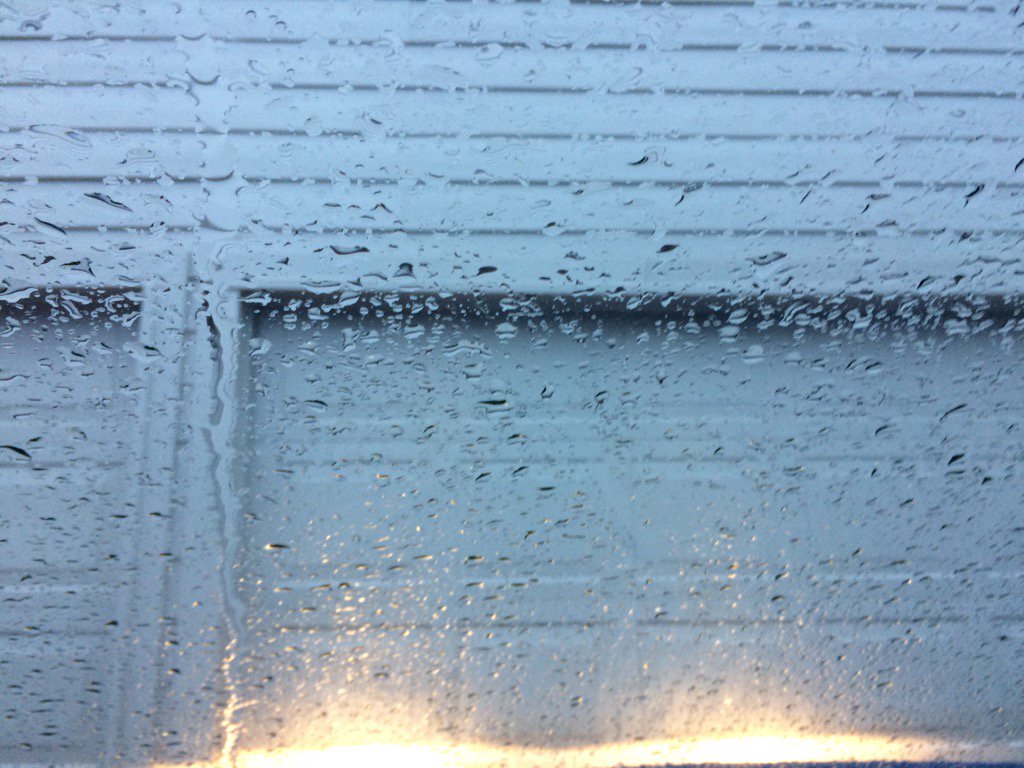
Northwest Houston, TX, during the early morning.
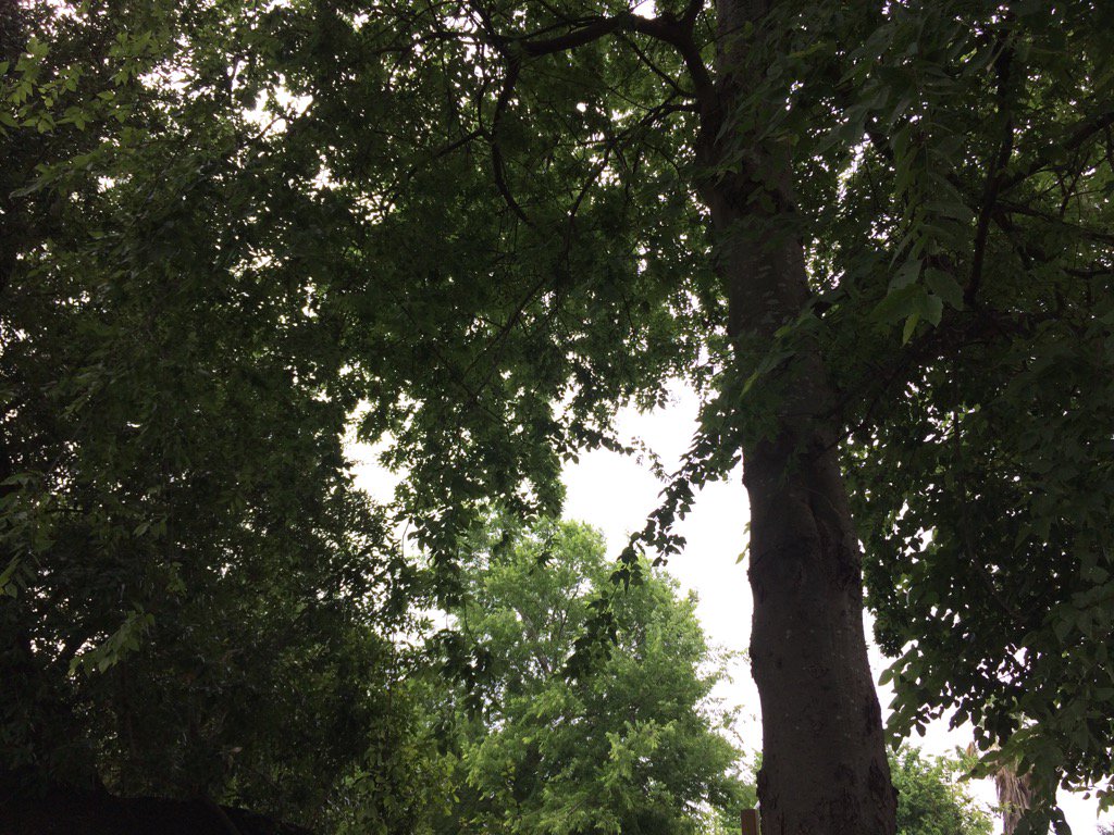
West Houston, TX, during the early afternoon.
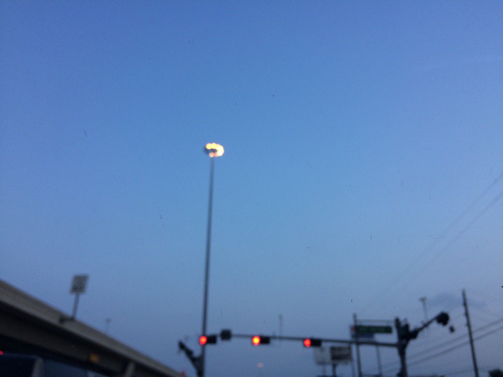
West Houston, TX, during the late evening.
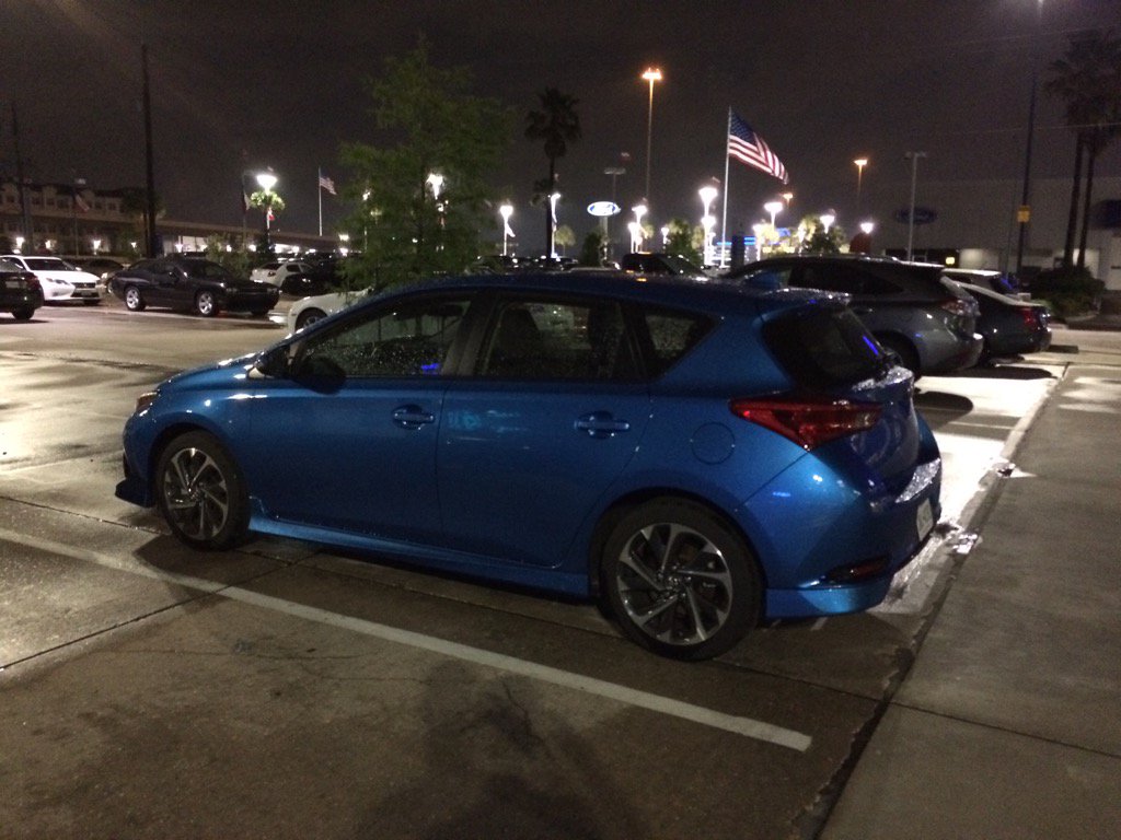
West Houston, TX, during the early night.
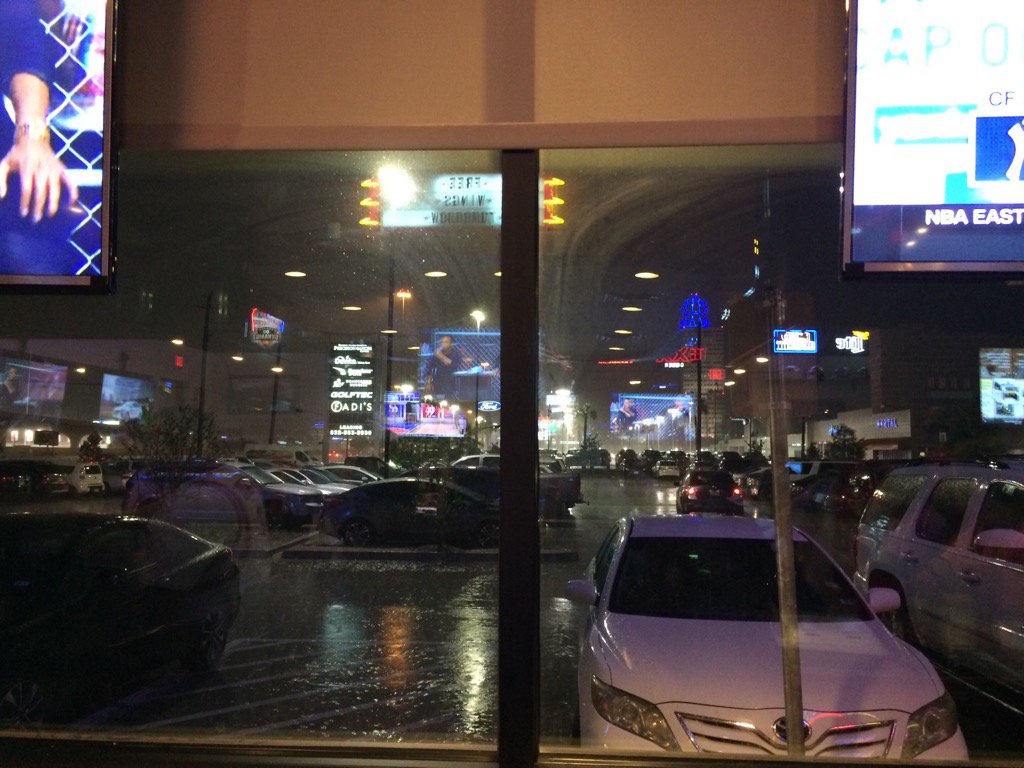
West Houston, TX, during the late night.
Northwest Houston, TX, during the late night.
Hazardous Weather Outlook
Hazardous Weather Outlook
National Weather Service Houston/Galveston TX
355 PM CDT Wed May 3 2017

GMZ330-335-TXZ163-164-176>179-195>200-210>214-226-227-235>238-
042100-
Austin-Brazoria-Brazos-Burleson-Chambers-Colorado-Fort Bend-
Galveston-Galveston Bay-Grimes-Harris-Houston-Jackson-Liberty-
Madison-Matagorda-Matagorda Bay-Montgomery-Polk-San Jacinto-
Trinity-Walker-Waller-Washington-Wharton-
355 PM CDT Wed May 3 2017

This hazardous weather outlook is for portions of Southeast Texas..

.DAY ONE...This Afternoon and Tonight
Strong to severe thunderstorms will be possible along and ahead of
a cold front moving south across the region tonight. Large hail,
damaging winds, and a tornado or two will be possible before the
cold front clears the coast before or around midnight. Best
chances for severe weather will be east of a Bryan to Houston to
Galveston line.

Increasing northerly winds are expected behind the cold front,
with strongest winds expected along the immediate coast.

.DAYS TWO THROUGH SEVEN...Thursday through Tuesday
Breezy to windy conditions will be possible Thursday morning
behind the cold front.

.SPOTTER INFORMATION STATEMENT...
Spotter activation is possible late this afternoon through tonight.

$$
Area Forecast Discussion
Issued by NWS Houston/Galveston, TX
Versions: 1 2 3 4 5 6 7 8 9 10 11 12 13 14 15 16 17 18 19 20 21 22 23 24 25 26 27 28 29 30 31 32 33 34 35 36 37 3839 40 41 42 43 44 45 46 47 48 49 50
000
FXUS64 KHGX 040315
AFDHGX

Area Forecast Discussion
National Weather Service Houston/Galveston TX
1015 PM CDT Wed May 3 2017

.DISCUSSION...
Line of showers and thunderstorms associated with the frontal
boundary is now pushing offshore. Anticipate being able to cancel
the remainder of the svr tstm watch in the next hour or so. With
cooler air moving in and a tightening gradient, expect winds to
reach wind advsy criteria over the coastal counties overnight so
will keep that going as advertised. Overall fcst is in great shape
and just made very short term tweaks to the first period based on
latest obs and precip positioning.

RH`s may be a touch lower than earlier thinking on Thurs. This
and breezy conditions in place might warrant the midnight shift to
take a second look at any potential fire wx issues. Good thing is
lingering moisture from this evenings rain will probably mitigate
most (if any) issues.  47

&&

.PRELIMINARY POINT TEMPS/POPS...
College Station (CLL)      53  75  51  79  52 /   0   0   0   0   0
Houston (IAH)              57  75  54  79  55 /  20   0   0   0   0
Galveston (GLS)            61  75  62  78  65 /  80   0   0   0   0

&&

.HGX WATCHES/WARNINGS/ADVISORIES...
TX...Wind Advisory until 7 AM CDT Thursday for the following zones:
     Brazoria...Chambers...Galveston...Jackson...Matagorda.

GM...Small Craft Advisory until 10 AM CDT Thursday for the following
     zones: Coastal waters from Freeport to the Matagorda Ship
     Channel out 20 NM...Coastal waters from High Island to
     Freeport out 20 NM...Galveston Bay...Matagorda Bay...Waters
     from Freeport to the Matagorda Ship Channel from 20 to 60
     NM...Waters from High Island to Freeport from 20 to 60 NM.

&&

$$
No comments:
Post a Comment