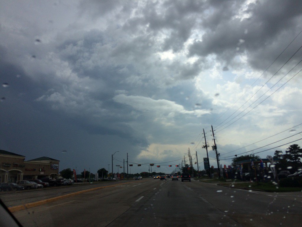
Northwest Houston, TX, during the mid-afternoon.
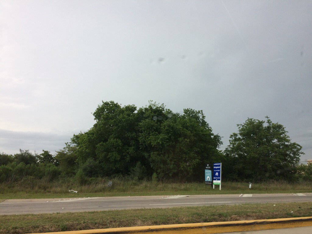
Katy, TX, during the mid-afternoon.
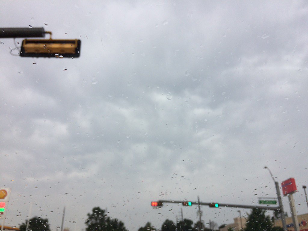
Katy, TX, during the late afternoon.
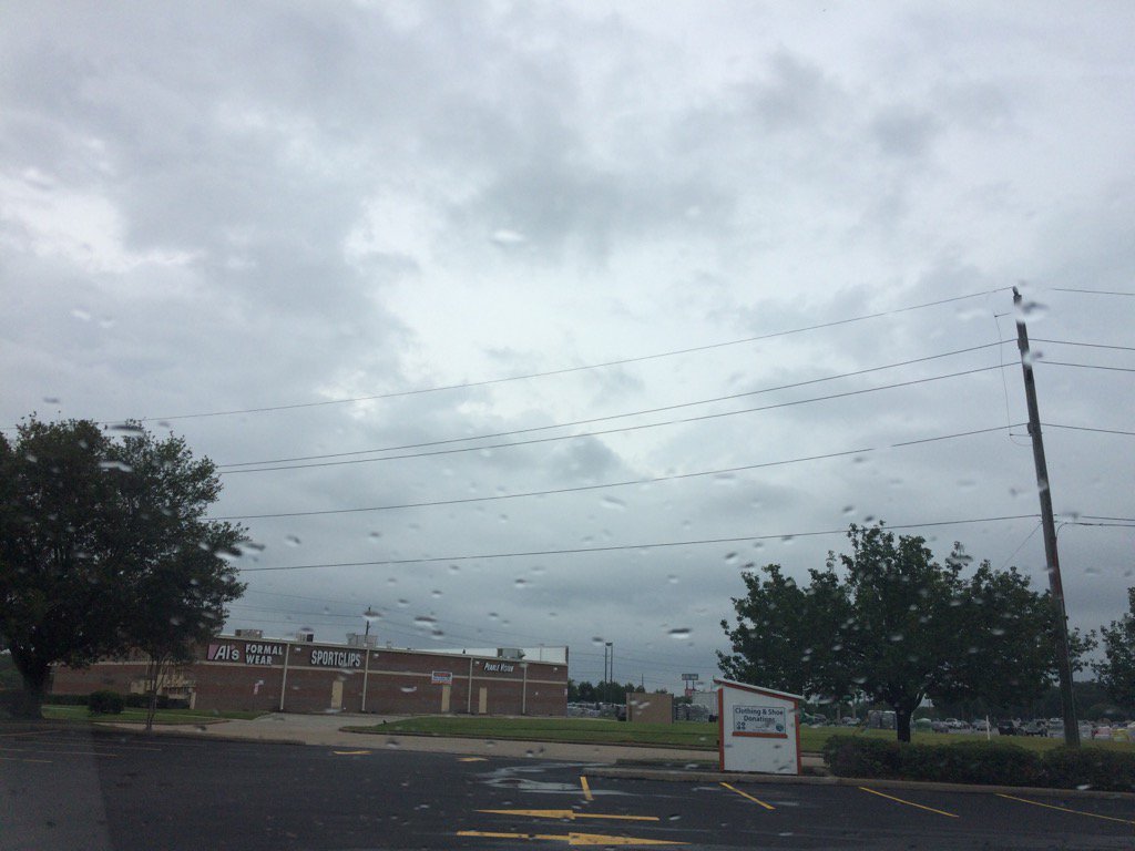
Katy, TX, during the early evening.
Summary: The day was mostly cloudy, warm, and wet. Scattered to isolated light to heavy showers and thunderstorms passed through the Houston, TX area, during the morning, afternoon, evening, and night. The sky stayed cloudy to mostly cloudy from the morning, through the night. The wind speeds were calm with moderate to moderately strong wind gusts with maybe some really strong gusts. It felt hot at my house in northwest Houston, TX, during the late morning and early afternoon. It felt warm during the early and mid-morning, mid and late afternoon, evening, and night. There was a tornado warning issued for Brookshire, TX, from a reported tornado, or maybe a possible tornado, or funnel cloud; a city around 25 miles west of Houston, TX, near Katy, TX. There was also a hazardous weather statement issued by NOAA. There were no other watches, warnings, alerts, weather statements, or advisories issued for the Houston, TX area, that I know of. The low temps looked to be in the 70's with maybe some 60's and the high temps looked to be in the 80's, for the Houston, TX area. I didn't hear about any storm damage, or flooding. I didn't hear about any damages from the possible tornado that passed through the Brookshire, TX area.
Locations: Northwest and west Houston, TX, Cypress, TX, and Katy, TX.
Thoughts: Well I finally got to see some rain. I also got to enjoy a good sweat and swim during the early afternoon, before the rain hit.
Hazardous Weather Outlook
Hazardous Weather Outlook
National Weather Service Houston/Galveston TX
419 PM CDT Sun May 21 2017

TXZ163-164-176>179-195>200-210>214-226-227-235>238-222130-
Austin-Brazoria-Brazos-Burleson-Chambers-Colorado-Fort Bend-
Galveston-Grimes-Harris-Houston-Jackson-Liberty-Madison-Matagorda-
Montgomery-Polk-San Jacinto-Trinity-Walker-Waller-Washington-
Wharton-
419 PM CDT Sun May 21 2017

This hazardous weather outlook is for portions of Southeast Texas..

.DAY ONE...This Afternoon and Tonight

Scattered to numerous showers and thunderstorms are expected
tonight. Some may be capable of locally heavy rainfall, especially
near any stalled boundaries located across the region.

.DAYS TWO THROUGH SEVEN...Monday through Saturday

Periods of showers and thunderstorms will continue Monday and
Tuesday, with some of this activity capable of locally heavy
rainfall. Rain chances are expected to end late Tuesday into
Wednesday behind a cold front.

.SPOTTER INFORMATION STATEMENT...
Spotters are encouraged to relay rainfall reports or any reports
of flooding.

$$
No comments:
Post a Comment