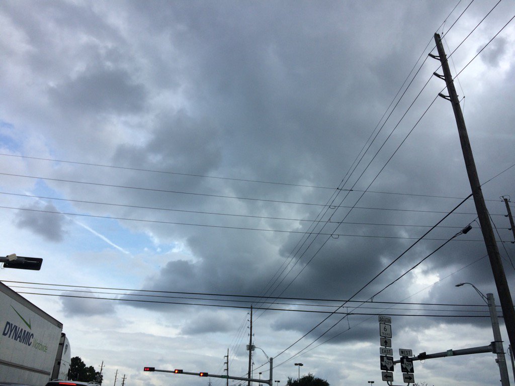
Northwest Houston, TX, during the late afternoon.
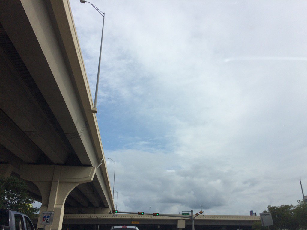
West Houston, TX, during the early evening.
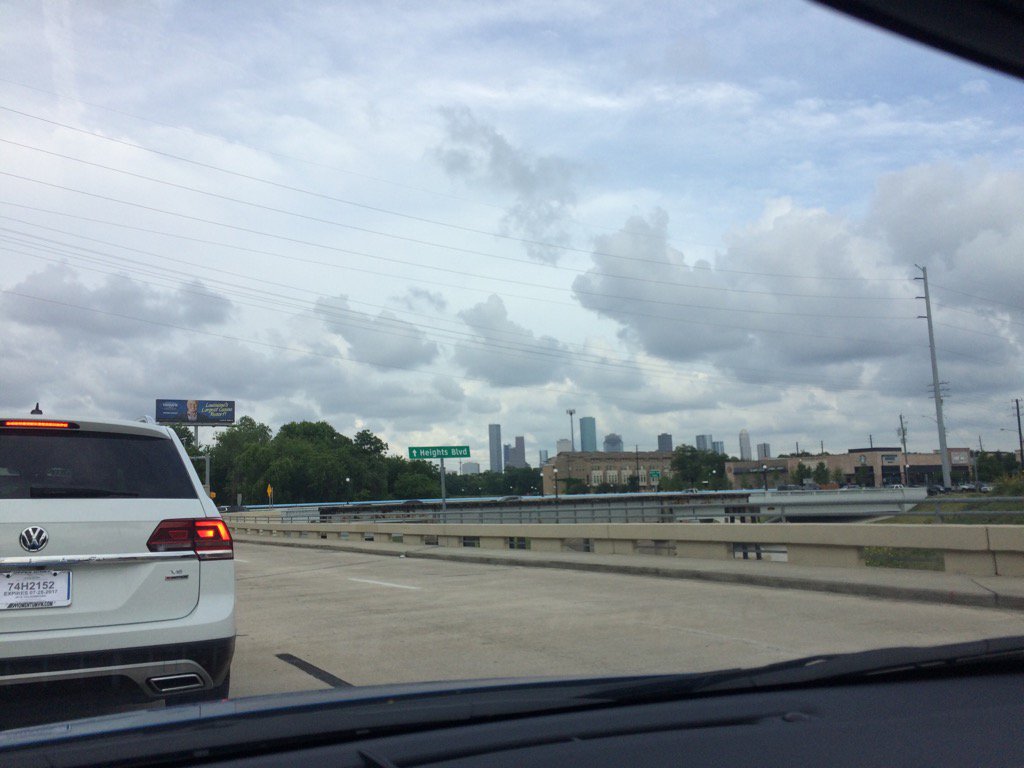
The heights, Houston, TX, during the early evening.
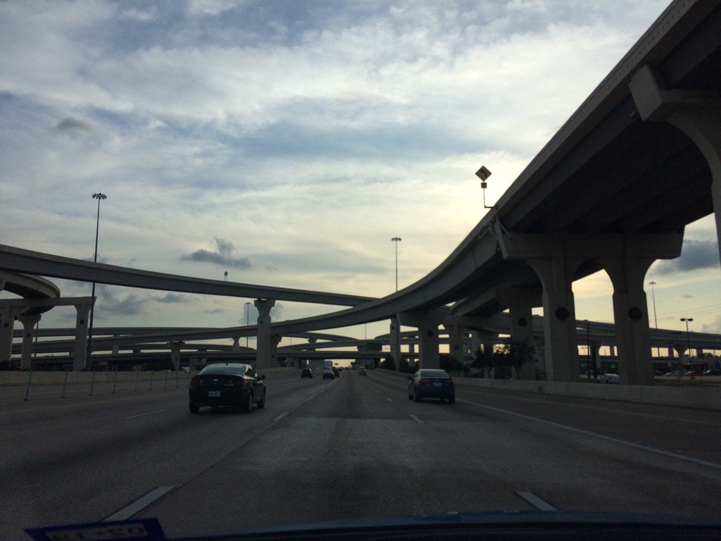
West Houston, TX, during the late evening.
Summary: The day was mostly cloudy, mostly wet, and warm. A big line of light to heavy showers and thunderstorms passed through the Houston, TX area, during the early and mid-morning, followed by isolated light to moderate showers with maybe a few light to heavy thunderstorms, during the late morning, afternoon, and evening. The sky started out cloudy in the morning, then became mostly cloudy during the afternoon and evening, before becoming clear during the early night. There looked to be maybe a few light isolated showers during the night. The wind speeds looked to be calm with maybe some moderate to moderately strong gusts. It felt warm during the morning, afternoon, evening, and night. There was a hazardous weather statement issued by NOAA along with maybe some severe thunderstorm and flooding watches, warnings, and alerts, for the Houston, TX area. I didn't see any severe thunderstorm, or flood watches, warnings, or alerts for the Houston, TX area, but think that there were probably some issued. The low temps were in the 60's and the high temps were in the 80's, I think, for the Houston, TX area. There were no reports of storm, or flood damages for the Houston, TX area that I know of. The power did go out at my house in northwest Houston, TX, for a split second.
Locations: Northwest, west, and the heights area of Houston, TX,
Thoughts: I got to see a pretty decent storm pass through my house last night (5\28\17) and on through the early morning (5/29/17).
Hazardous Weather Outlook
Hazardous Weather Outlook
National Weather Service Houston/Galveston TX
311 PM CDT Mon May 29 2017

TXZ163-164-176>179-195>200-210>214-226-227-235>238-302015-
Austin-Brazoria-Brazos-Burleson-Chambers-Colorado-Fort Bend-
Galveston-Grimes-Harris-Houston-Jackson-Liberty-Madison-Matagorda-
Montgomery-Polk-San Jacinto-Trinity-Walker-Waller-Washington-
Wharton-
311 PM CDT Mon May 29 2017

This hazardous weather outlook is for portions of Southeast Texas..

.DAY ONE...Tonight

No hazardous weather is expected. Moderate to strong rip currents
are possible along the beachfront through the evening hours.

.DAYS TWO THROUGH SEVEN...Tuesday through Sunday

Scattered showers and thunderstorms are expected each day.
We will be keeping an eye on the period between Wednesday night
and Thursday when the next stronger disturbance and better chances
for widespread precipitation is forecast.

.SPOTTER INFORMATION STATEMENT...

Spotter activation is not anticipated at this time.

$$
No comments:
Post a Comment