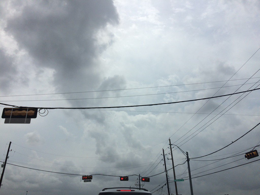
Northwest Houston, TX, during the mid-afternoon.
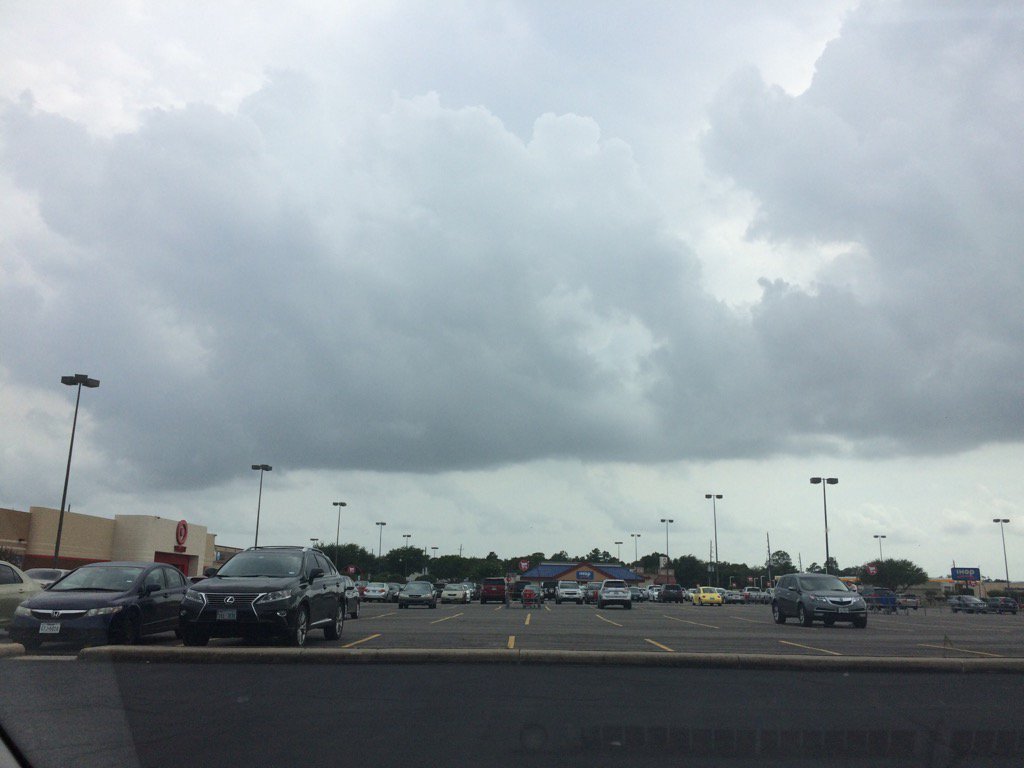
Katy, TX, during the mid-afternoon.
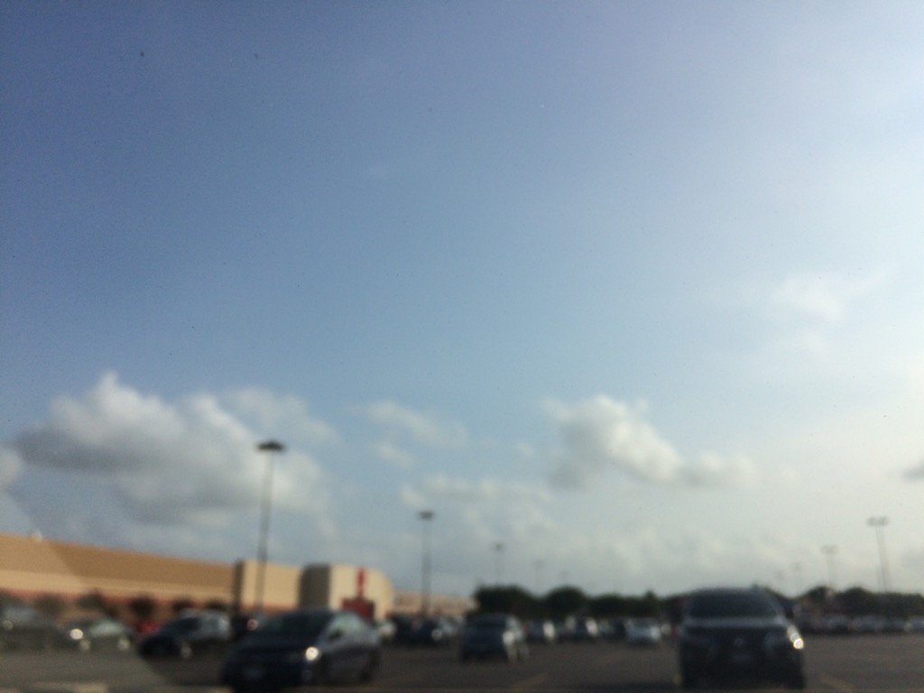
Katy, TX, during the early evening.
Summary: The day was warm, mostly cloudy, and dry. Some isolated to scattered light to heavy showers and thunderstorms throughout the day. I felt some light drops at my house in northwest Houston, TX, during the late morning. There looked to be a cluster of light to heavy thunderstorms approaching my house in northwest Houston, TX, on the Houston, TX radar, that might pass through my house before the night is over. The sky stayed mostly cloudy to cloudy, except during the evening and maybe early night. The wind speeds were calm with maybe some moderate to moderately strong gusts and maybe some really strong gusts. It felt warm during the early and mid-morning, mid and late afternoon, evening, and night. It felt really warm, almost hot, during the late morning and early afternoon. There was a hazardous weather statement issued by NOAA for the Houston, TX area, for Monday through Saturday. There was also a severe thunderstorm watch issued for the Columbus , TX area, near Houston, TX. There were no other watches, warnings, advisories, weather statements, or alerts issued for the Houston, TX area, that I know of. The low temps looked to be in the 70's with maybe some 80's, and the high temps looked to be in the low 90's, for the Houston, TX area.
Locations: Northwest Houston, TX and Katy, TX.
Thoughts: Lots of rain in the forecast!
Area Forecast Discussion
Issued by NWS Houston/Galveston, TX
Issued by NWS Houston/Galveston, TX
Versions: 1 2 3 4 5 6 7 8 9 10 11 12 13 14 15 16 17 18 19 20 21 22 23 24 25 26 27 28 29 30 31 32 33 34 35 36 37 3839 40 41 42 43 44 45 46 47 48 49 50
687
FXUS64 KHGX 282324
AFDHGX

Area Forecast Discussion
National Weather Service Houston/Galveston TX
624 PM CDT Sun May 28 2017

.AVIATION...
Area should see increasing SHRA/TSRA coverage this evening as activity
builds in from the N and NW along and ahead of a cold front. 00Z TAFs
are messy with lots of VCSH and VCTS. After this evening, there are
lots of timing uncertainties concerning not only the possible SHRA/TSRA
but also wind directions and ceilings as we move into the overnight
hours and on into the day tomorrow. Generally going with MVFR ceilings
overnight becoming VFR tomorrow afternoon with MVFR/IFR levels quite
possible in and around the SHRA/TSRA.  42
&&

.PREV DISCUSSION... /ISSUED 346 PM CDT Sun May 28 2017/

DISCUSSION...
Line of storms likely about to fire along a frontal boundary
draped across ncntl Texas. As previously talked about, the atmos
is very unstable in advance w/ high CAPES and low LI`s. Anticipate
some severe storms to emerge as they make their way into se Tx
this evening. Severe Thunderstorm Watch is in effect generally
northwest of a Columbus-Livingston line until 10 pm. Dependent on
strength/movement trends, we may end up needing to add the metro
area to the watch as well. Aircraft soundings around there still
indicate some capping at 700mb, but has eroded some since this
morning. Almost all hazards are are the table with hail/winds the
primary threat, followed by localized heavy rain amounts & rates,
and finally a low (but non-zero) chance of a tornado.

This storm complex will send a boundary southward, and this will
determine the overall threat and/or locations for future hazardous
wx as another shortwave makes its way in from the sw late tonight
and Monday. Ongoing thinking continues to point to the southern
1/3 of the region being the more favored spot, but if a boundary
ends up well off the coast later tonight, pops and qpf amounts
will need to be adjusted downward Monday. Unfortunately, but not
unexpectedly, there isn`t a good model consensus.

Coastal troffiness is expected into midweek. Deeper moisture and convergence
along the trof (along with some passing upper impulses) will probably
trigger overnight and morning precip closer to the coast followed
by inland expansion with daytime heating. Looks like the trof
could wash out and we`d lose a surface focusing mechanism later in
the week, but atmos still looks plenty moist for higher end &
diurnally driven pops through the remainder of the work week.

There will probably be some locations we`ll need to keep an eye on
as we go thru the week as rainfall adds up. As ground gets more
saturated it won`t be able to absorb as much water, and higher
rain rates themselves could become more of a problem in regards to
flash flooding as this occurs. 47

MARINE...
Southeasterly winds have picked back up from earlier this morning.
These may reach into caution criteria later tonight. Otherwise,
showers and thunderstorms could become focused along the coast
south of Freeport overnight tonight and then up the coast during the
day on Monday. Models continued to struggle as to the timing and
location of thunderstorm development. Winds should become more
easterly on Monday before returning to the southeast Monday night.
Southeasterly winds are then expected for the remainder of the week
with the strongest winds during the night and early morning
periods.  40

&&

.PRELIMINARY POINT TEMPS/POPS...
College Station (CLL)      69  80  68  85  69 /  80  50  30  40  30
Houston (IAH)              74  80  69  85  71 /  60  70  50  50  30
Galveston (GLS)            77  82  74  83  76 /  60  80  60  50  40

&&

.HGX WATCHES/WARNINGS/ADVISORIES...
TX...High Rip Current Risk until midnight CDT tonight for the
     following zones: Brazoria...Chambers...Galveston...
     Matagorda.

GM...NONE.
&&

$$

Discussion...11
Aviation/Marine...42
Hazardous Weather Outlook
Hazardous Weather Outlook
National Weather Service Houston/Galveston TX
447 PM CDT Sun May 28 2017

TXZ163-164-176>179-195>200-210>214-226-227-235>238-292200-
Austin-Brazoria-Brazos-Burleson-Chambers-Colorado-Fort Bend-
Galveston-Grimes-Harris-Houston-Jackson-Liberty-Madison-Matagorda-
Montgomery-Polk-San Jacinto-Trinity-Walker-Waller-Washington-
Wharton-
447 PM CDT Sun May 28 2017

This hazardous weather outlook is for portions of Southeast Texas..

.DAY ONE...Tonight

A line of showers and thunderstorms will be moving into southeast
Texas this evening. Large hail, damaging wind, and localized heavy
rain capable of producing street flooding is possible. Though
possibly weakening as the storms approaches the Interstate 10
corridor toward late evening, we will continue to monitor the
situation. Additional watches or warnings could be necessary
across portions of the region.

.DAYS TWO THROUGH SEVEN...Monday through Saturday

Scattered to numerous showers and thunderstorms will be possible
Monday through Saturday. This activity may be capable of producing
locally heavy rainfall.

.SPOTTER INFORMATION STATEMENT...

Spotter activation is requested this evening generally north of
Interstate 10. We would appreciate any reports of hail, damaging
winds or flooding.

$$
No comments:
Post a Comment