
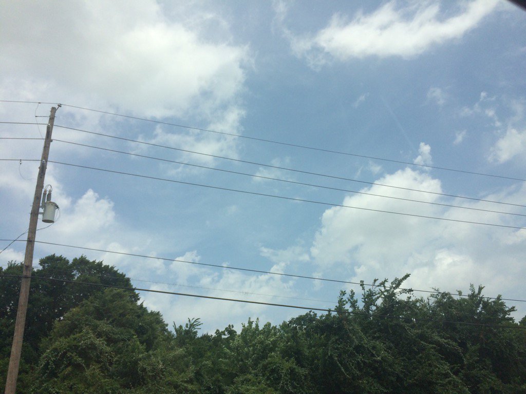
Northwest Houston, TX, during the mid-morning.
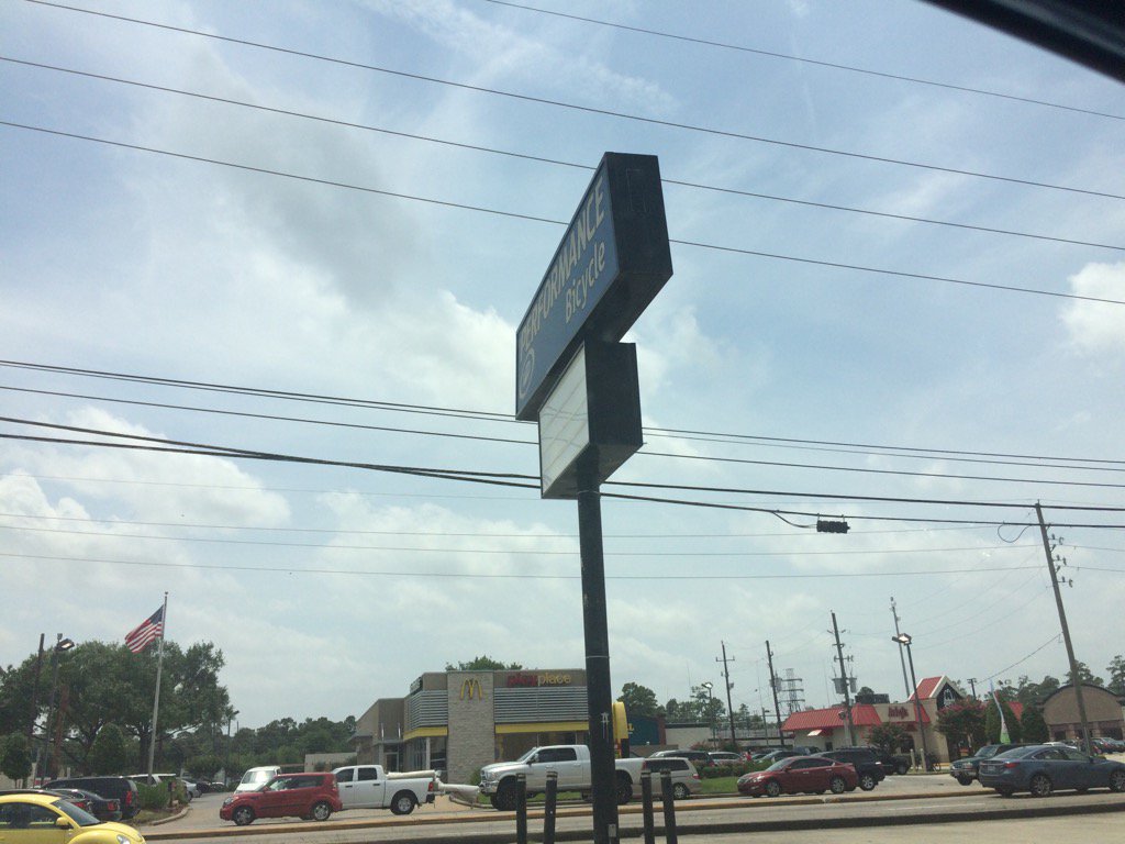
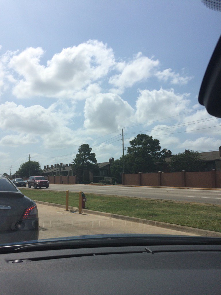
Northwest Houston, TX, during the early afternoon.
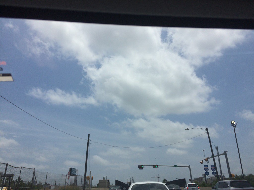
North Houston, TX, during the early afternoon.
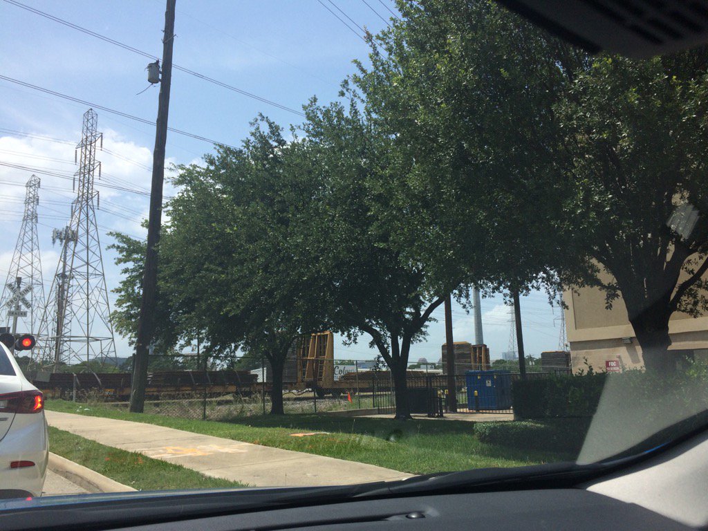
Heights, Houston, TX, during the early afternoon.
Southwest Houston, TX, during the early afternoon.
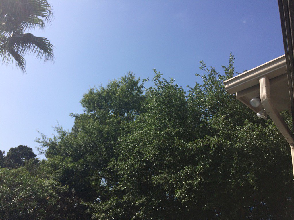
Northwest Houston, TX, during the mid-afternoon.
Northwest Houston, TX, during the early evening.
Summary: The day was mostly sunny, dry, and warm. No rain. I don't think the Houston, TX area got any rain. I don't remember seeing any rain on the radar. The wind speeds were calm with moderate to moderately strong gusts with maybe some really strong gusts. The sky was cloudy to mostly cloudy during the early and mid-morning. Some stratus clouds still hung around through the rest of the day from the late morning, through the night. It felt warm during the morning, evening, and night. It felt very warm to hot at times, during the afternoon. There was a hazardous weather statement issued for the Houston, TX area, for Sunday, thru Friday. There were no other watches, warnings, weather statements, alerts, or advisories issued for the Houston, TX area, that I know of. The low temps looked to be in the 70's and the high temps looked to be in the high 80's, maybe 90's, for the Houston, TX area,
Locations: North, northwest, heights, and southwest Houston, TX.
Thoughts: A pretty pleasant and sunny day. No rain yet.
Hazardous Weather Outlook
Hazardous Weather Outlook
National Weather Service Houston/Galveston TX
508 AM CDT Sat May 27 2017

TXZ163-164-176>179-195>200-210>214-226-227-235>238-281015-
Austin-Brazoria-Brazos-Burleson-Chambers-Colorado-Fort Bend-
Galveston-Grimes-Harris-Houston-Jackson-Liberty-Madison-Matagorda-
Montgomery-Polk-San Jacinto-Trinity-Walker-Waller-Washington-
Wharton-
508 AM CDT Sat May 27 2017

This hazardous weather outlook is for portions of Southeast Texas..

.DAY ONE...Today and Tonight

Heat index values may peak in the 98-105 degree range this
afternoon. Southeast Texans should drink plenty of water and take
frequent breaks if participating in outdoor activities.

.DAYS TWO THROUGH SEVEN...Sunday through Friday

Scattered to numerous showers and thunderstorms will be possible
Sunday afternoon through Friday. Thunderstorms Sunday afternoon
and evening may be strong to severe north of a Brenham to
Cleveland line and capable of damaging winds or large hail.

Otherwise thunderstorms Sunday through Friday may be capable of
producing locally heavy rainfall.

.SPOTTER INFORMATION STATEMENT...

Spotter activation is not anticipated at this time.

$$
No comments:
Post a Comment