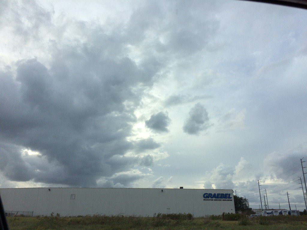
Late afternoon, west Houston, TX.
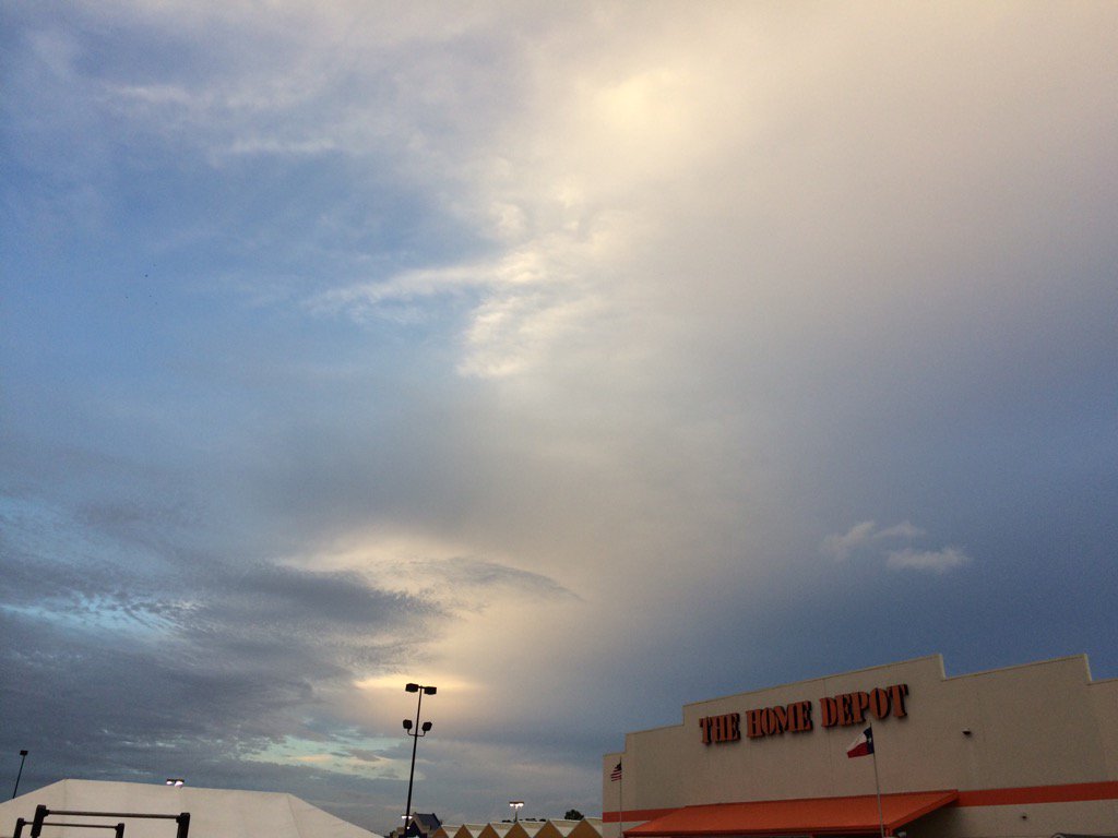
Early evening, northwest Houston, TX.
Notes: I found a way to get pictures uploaded again! Big to small, bright white with light grey and blueish grey, thick, puffy, low stratus clouds looked to cover most of the sky in northwest and west Houston, TX, during the early morning, late morning, and afternoon. Big to small, bright white, thin, wavy cirrus clouds looked to be widely scattered across the sky in west Houston, TX, during the mid-morning, or maybe early morning after sunrise. Big to small, bright white grey, and blueish grey, flat, puffy, thick, low stratus clouds looked to cover most of the sky in northwest Houston, TX, during the evening. Big to small, bright white, and light to medium grey stratus clouds looked to be scattered across the sky in northwest Houston, TX, I think, during the early night. I think the wind speeds looked to be calm in northwest and west Houston, TX, during the early morning. The wind speeds became moderate with moderately strong to strong gusts in west Houston, TX, sometime during the morning, or maybe early afternoon. I think the wind speeds still looked to be moderate with moderately strong to strong gusts when I left work in west Houston, during the late afternoon. The wind speeds looked to be moderate with moderately strong to strong gusts when I was in northwest Houston, TX during the evening. The wind speeds looked to be relatively calm with some moderate gusts in northwest Houston, TX, during the early night. It felt warm in northwest and west Houston, TX, during the morning, afternoon, evening, and night. It may have felt cool, or maybe a little cool in northwest and west Houston, TX during the early and mid-morning. There looked to be a band of light showers to the west Houston, TX, when I looked at the radar throughout the day. I didn't hear about, see, or feel any rain drops anywhere in the Houston, TX area, during the morning, afternoon, and evening. There looked to be a band of light to heavy showers to the north of Houston, TX, that may have reached parts of north and maybe northwest Houston, TX, during the night. Disclaimer: This was my observation of the weather that occurred in northwest and west Houston, TX, where I was during the day.
Hazardous Weather Outlook
HAZARDOUS WEATHER OUTLOOK
NATIONAL WEATHER SERVICE HOUSTON/GALVESTON TX
646 AM CST TUE NOV 22 2016

TXZ163-164-176>179-195>200-210>214-226-227-235>238-231300-
AUSTIN-BRAZORIA-BRAZOS-BURLESON-CHAMBERS-COLORADO-FORT BEND-
GALVESTON-GRIMES-HARRIS-HOUSTON-JACKSON-LIBERTY-MADISON-MATAGORDA-
MONTGOMERY-POLK-SAN JACINTO-TRINITY-WALKER-WALLER-WASHINGTON-
WHARTON-
646 AM CST TUE NOV 22 2016

THIS HAZARDOUS WEATHER OUTLOOK IS FOR PORTIONS OF SOUTHEAST TEXAS.

.DAY ONE...TODAY AND TONIGHT

AS A COLD FRONT APPROACHES AND PASSES ACROSS SOUTHEASTERN TEXAS
LATE TONIGHT THROUGH WEDNESDAY MORNING THERE IS A POSSIBILITY FOR
THE DEVELOPMENT OF STRONG TO SEVERE THUNDERSTORMS. DAMAGING
DOWNBURST WINDS AND ISOLATED TORNADOES WILL BE THE PRIMARY SEVERE
WEATHER THREATS. RAIN WILL END FROM NORTHWEST TO SOUTHEAST THROUGH
THE DAY WEDNESDAY. DRY CONDITIONS ARE EXPECTED ON THANKSGIVING.

.DAYS TWO THROUGH SEVEN...WEDNESDAY THROUGH MONDAY

HAZARDOUS WEATHER IS NOT ANTICIPATED.

.SPOTTER INFORMATION STATEMENT...

HEIGHTENED SPOTTER AWARENESS FROM TONIGHT THROUGH EARLY WEDNESDAY
AFTERNOON.

$$
No comments:
Post a Comment