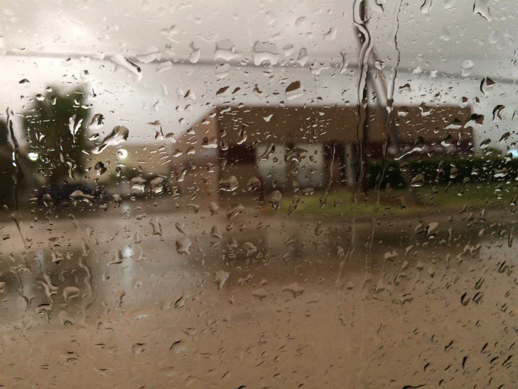
Northwest Houston, TX, during the early morning.
Notes: Big to small bright white to dark grey, thick, puffy low stratus clouds covered the whole sky in northwest and west Houston, TX, during the early morning. The stratus clouds started to break apart in west Houston, TX sometime during the mid-morning, I think. The sky became clear in west Houston, TX during the early morning. The sky looked to be clear in west Houston, TX, during the mid-afternoon. The sky looked to be clear in northwest and west Houston, TX, during the late after noon. The sky looked to be clear in northwest Houston, TX during the evening and night. The wind speeds looked to be moderate with moderately strong to strong gusts in northwest and west Houston, TX, during the early morning. The wind speeds looked to have become calm, or maybe relatively calm in west Houston, TX sometime during the mid, or maybe late morning. The wind speeds looked to be calm, or maybe relatively calm in west Houston, TX, during the early and mid-afternoon. The wind speeds looked to be calm, or maybe relatively calm in northwest and west Houston, TX, during the late afternoon. The wind speeds looked to be calm, or maybe relatively calm in northwest Houston, TX during the evening and night. It felt warm and humid in northwest and west Houston, TX, during the early morning. It felt cool in west Houston, TX, during the mid and late morning. It felt a little cool, almost warm in west Houston, TX during the early and mid-afternoon. It felt a little cool in northwest and west Houston, TX, during the late afternoon. It started to feel cool in northwest Houston, TX during the evening. It started to feel cold in northwest Houston, TX during the early night. It felt cold in northwest Houston, TX, during the late night. A huge line of light to heavy showers and thunderstorms passed over most if not all of the Houston, TX area during the morning. There were some reports of flash flooding, but no reports of any damages. I saw some huge puddles on the road in west Houston, TX during early morning. Disclaimer: This was my observation the weather that occurred in northwest and west Houston, TX, where I was during the day.
Hazardous Weather Outlook
HAZARDOUS WEATHER OUTLOOK
NATIONAL WEATHER SERVICE HOUSTON/GALVESTON TX
637 AM CST WED NOV 23 2016

TXZ163-164-176>179-195>200-210>214-226-227-235>238-241200-
AUSTIN-BRAZORIA-BRAZOS-BURLESON-CHAMBERS-COLORADO-FORT BEND-
GALVESTON-GRIMES-HARRIS-HOUSTON-JACKSON-LIBERTY-MADISON-MATAGORDA-
MONTGOMERY-POLK-SAN JACINTO-TRINITY-WALKER-WALLER-WASHINGTON-
WHARTON-
637 AM CST WED NOV 23 2016

THIS HAZARDOUS WEATHER OUTLOOK IS FOR PORTIONS OF SOUTHEAST TEXAS.

.DAY ONE...TODAY AND TONIGHT

A LINE OF THUNDERSTORMS AHEAD OF AN APPROACHING COLD FRONT WILL
PASS ACROSS THE SOUTHERN FORECAST AREA THROUGH 11 AM. SOME OF
THESE STORMS WILL PRODUCE WIND GUSTS TO 40 MPH AND SMALL HAIL.
THIS LINE OF CONVECTION WILL BE OFF THE COAST BY NOON. HIGH
PRESSURE BUILDING IN BEHIND THE COLD FRONT WILL END ANY
THUNDERSTORM THREAT THIS AFTERNOON.

.DAYS TWO THROUGH SEVEN...THURSDAY THROUGH TUESDAY

NO HAZARDOUS WEATHER IS ANTICIPATED.

.SPOTTER INFORMATION STATEMENT...
HEIGHTENED SPOTTER AWARENESS THIS MORNING, ESPECIALLY OVER MORE
SOUTHERN NEAR COASTAL COUNTIES.

$$
No comments:
Post a Comment