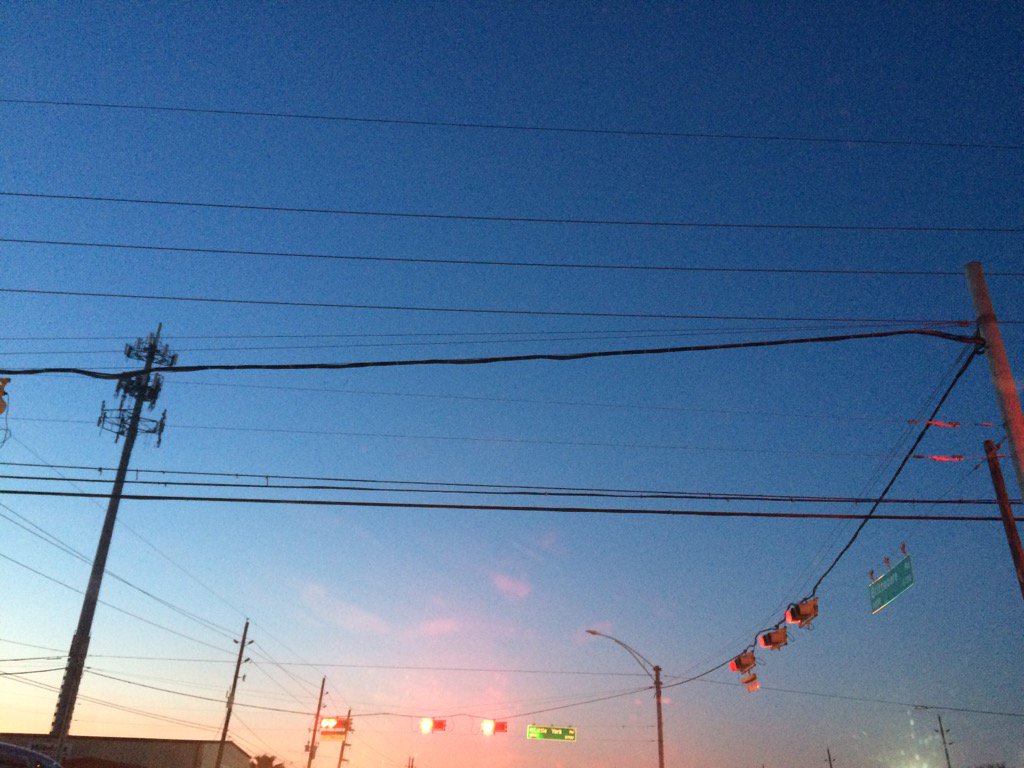
Northwest Houston, TX during the early morning.
Notes: Big to small, bright white, thick, flat, maybe some puffy, high, maybe sometimes low stratus clouds looked to be scattered across the sky in northwest and west Houston, TX during the early morning. Big to small, bright white, thick, some puffy, high, sometimes low stratus clouds looked to cover most and maybe sometimes the whole sky in west Houston, TX during the mid and late morning, afternoon, evening, and maybe early night. Big to small, bright white, thick, flat, high stratus clouds looked to be widely scattered across the sky in northwest Houston, TX during the early night. The wind speeds looked to be calm in northwest and west Houston, TX during the early morning. The wind speeds looked to be calm with maybe some moderate and moderately strong gusts in west Houston, TX during the mid and late morning, afternoon, evening, and early night. The wind speeds looked to be calm with maybe some moderate and moderately strong gusts in northwest Houston, TX during the early night. It felt cold in northwest and west Houston, TX during the early morning. It felt cool in west Houston, TX during the mid and late morning. It felt a little cool, maybe even warm in west Houston, TX during the afternoon. I think it felt cool in west Houston, TX during the evening. It felt cool in west Houston, TX during the early night. It started to feel cold in northwest Houston, TX during the early night. I didn't see, feel, or hear about any rain drops anywhere in, or near the Houston, TX area during the morning, afternoon, evening, or night. I don't think there were any advisories issued. There might have been a dense fog advisory issued for southeast Houston, TX during the early morning, but I don't remember.
Thoughts: It felt a lot colder today than it did yesterday, but not as cold as I thought it was going to be.
Area Forecast Discussion
Issued by NWS Houston/Galveston, TX
Issued by NWS Houston/Galveston, TX
Versions: 1 2 3 4 5 6 7 8 9 10 11 12 13 14 15 16 17 18 19 20 21 22 23 24 25 26 27 28 29 30 31 32 33 34 35 36 37 3839 40 41 42 43 44 45 46 47 48 49 50
000
FXUS64 KHGX 050300
AFDHGX

Area Forecast Discussion
National Weather Service Houston/Galveston TX
900 PM CST Wed Jan 4 2017

.DISCUSSION...
Latest IR/11-3.9 micron satellite imagery shows low stratus clouds
moving into SE Texas from the SW over S Texas. Obs show ceilings
anywhere from 1500 to 5000 feet coming into the area. Latest HRRR
seems to have initialized well enough with this scenario and
analysis of 295K/290K shows some isentropic lift coming from the
SW in line with cloud development in the satellite. This also
corresponds well with warm advection in the 925-850mb layer. This
means that temps overnight may actually warm a bit from current
readings. Temps may drop another degree or two over the next
couple of hours, but should rebound with increased cloud cover and
warm advection. Based on hi-res mesoscale models, 20 PoPs were
added to the forecast for tomorrow morning along the coast and
ahead of the front tomorrow afternoon.

Cold front pushes through SE Texas Thursday afternoon and
evening. Look for temperatures to slowly fall with strong cold
advection. Temperatures may only remain steady for slowly fall
through the day Friday. That brings us to Friday night when a
embedded short wave trough moves along the Red River. The NAM is a
good 3-6 hrs faster with this shortwave than the GFS and the ECMWF
is about 3-6 hrs slow. Canadian and GFS are fairly close. All the
models show a weak vorticity max that appears to be getting
stretched. Front at 850mb will be pushing through 00-06Z Saturday
so there will be some low level lift along with Q-G large scale
ascent. But looking at model soundings, moisture will be really
limited. Doubt there will be any precip at all except along the
coast after 06Z Saturday. Model soundings do moist below 700mb
from 21Z Friday to 03Z Saturday but there is practically no
moisture above -10C height. Temperature profiles do slide below
freezing by 03Z Saturday in areas from Madisonville to Lufkin but
due to the lack of moisture, precipitation type will likely be
drizzle or freezing drizzle should surfaces be cold enough.
Decided to modify the forecast for rain/drizzle/freezing drizzle
precip type based on this as it will be hard to get any other
precip type. Should there be much stronger lift than what is being
shown by the models, then sleet will be possible. Overall this
winter precip event for the northern most counties of the forecast
area is very borderline, and there is a much higher chance of it
not occurring than occurring.

Overpeck

&&

.PREV DISCUSSION... /ISSUED 543 PM CST Wed Jan 4 2017/

AVIATION...
With clouds at MVFR levels beginning to crop up at several sites,
have sped up the onset of MVFR ceilings a little bit this evening.
Still unsure on low level moisture return, so hitting visibility
reductions late tonight/tomorrow morning a little softer than the
guidance still, and keeping them restricted from DWH/IAH
coastward. With a cold front beginning to enter from the
northwest at the end of the period, a wind shift will be in the
offing, but at the end of this forecast period, only the
northernmost sites should see that impact, and CXO to a limited
extent.

Luchs

PREV DISCUSSION... /ISSUED 348 PM CST Wed Jan 4 2017/

DISCUSSION...
Visible satellite imagery currently shows a high cloud deck
scattered over much of SE Texas this afternoon. Expecting saturation
to rise as winds shift from the north to out of the southwest,
enhancing moisture due to weak onshore flow beginning Thursday
morning. Forecast soundings have precipitable waters on the rise
Thursday after the wind shift, and PoPs will rise slightly over the
offshore waters. Therefore, a slight chance of showers can be
expected over the offshore waters and along the eastern coastal
zones Thursday afternoon.

Early Thursday evening, a strong cold front begins to slide into the
forecast area and will eventually clear the coast by Friday morning.
Chances for precip will be on the rise ahead of the cold front
Thursday evening. Overnight, in the northeastern zone of our
forecast area will see some mix of light drizzle and wintery
precip. Model guidance, especially indicative in the forecast
soundings show dry air aloft in the mid to upper layers with a
small layer of saturation closer to the surface. Temperature will
be warmer than freezing at the surface while the precip is
falling, and conditions will be drier than previous forecasted.
Therefore, it appears as though the models are lacking confidence
towards the precip being more ice pellets or sleet, but instead
will more likely be drizzle or light rain. Eventually a large
part of forecast area will fall below freezing temperatures, once
the precip has pushed southward.

Cold air will usher in behind the front, leaving temperatures below
normal climatology for this time of year. High pressure will build
in following the front. Expect the impact from this front to
linger through the weekend, keeping things cold and breezy. A
Coastal Wind Advisory may be needed along the immediate coast
beginning sunrise Friday and through the afternoon. Friday and
Saturday night we will see low temperatures slightly below normal
climatology, remaining quite chilly. The warm up will begin
Sunday, as the winds begin to veer Sunday afternoon. By next week
temperatures will be back above normal for this time of the year.

Hathaway

MARINE...
Maritime northeasterly winds will weaken through the overnight
hours...becoming light onshore early Thursday as surface high
pressure transitions from eastern Texas into the eastern United
States. A light south to southwesterly wind over low seas with
periods of light precipitation Thursday. A cold frontal passage
Thursday evening will back winds around to the northwest to
northeast while strengthening to advisory criteria during the day
Friday. Post frontal cold air moving into the area tightening the
offhsore pressure gradient will produce cautions for the bays and
Gulf advisories through Saturday morning. As of now...there will be
occasional gusts to near gale across the far offshore waters Friday
that may prompt a Gale Watch. East winds will weaken going into and
through Sunday. Friday wave heights will reach near 9 feet
offshore...around 6 to 7 feet 20 nm from the coast...in response to
those advisory level northerlies. Increasing moisture over cooler
nearshore and bay waters early next work week heightens the late
period sea fog threat. 31

&&

.PRELIMINARY POINT TEMPS/POPS...
College Station (CLL)      42  62  34  41  26 /   0  10  10  20  10
Houston (IAH)              47  63  41  45  31 /   0  20  10  30  20
Galveston (GLS)            54  64  47  49  38 /  10  20  20  40  30

&&

.HGX WATCHES/WARNINGS/ADVISORIES...
TX...NONE.
GM...NONE.
&&

$$

Discussion...39
No comments:
Post a Comment