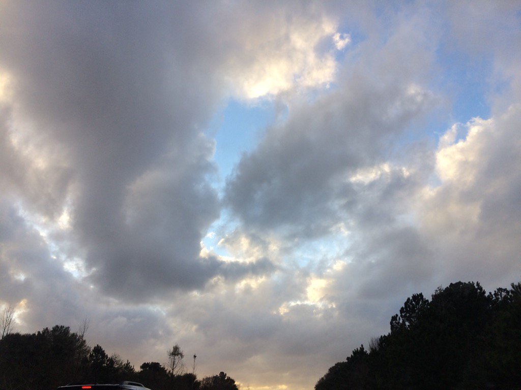
Northwest Houston, TX during the early evening.
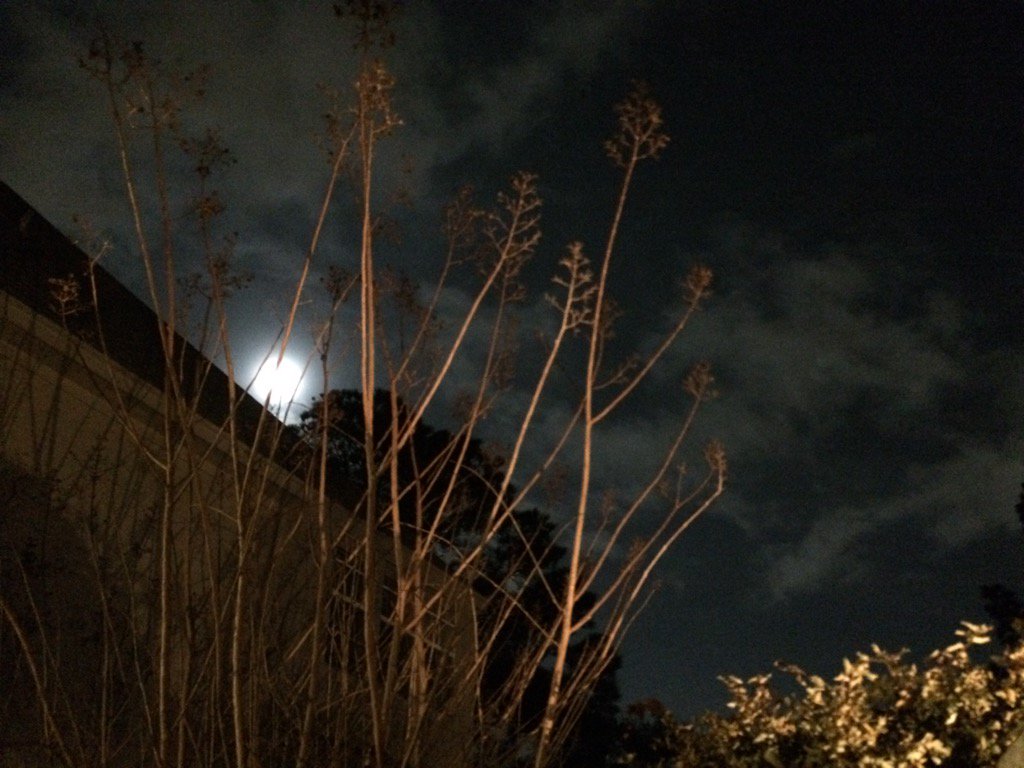
Northwest Houston, TX during the early night.
Notes: Big to small, bright white, bright white mixed with light to dark grey and blueish grey, thick, flat, puffy, low stratus clouds looked to cover most of the sky in northwest and west Houston, TX during the early morning. Big to small, bright white, bright white mixed with light to dark grey and blueish grey, thick, flat, puffy, low stratus clouds looked to cover most of the sky in west Houston, TX during the mid and late morning, afternoon, and early evening. Big to small, bright white, bright white mixed with light to dark grey and blueish grey, thick, flat, puffy, low stratus clouds looked to cover most of the sky in northwest Houston, TX during the late evening. Big to small, bright white, thick, flat, wavy, low, maybe high stratus clouds looked to be widely scattered across the sky in northwest Houston, TX during the early night. Only a few big to small, bright white, thick, flat, wavy, high stratus clouds looked to be scattered across the sky in northwest Houston, TX during the late night. The wind speeds looked to be moderate with moderately strong to really strong wind gusts (15 to 25 mph.) in northwest and west Houston, TX during the early morning. The wind speeds looked to be moderate with moderately strong to really strong wind gusts (15 to 25 mph.) in west Houston, TX during the mid and late morning, afternoon, and early evening. The wind speeds looked to be moderate with moderately strong to really strong wind gusts (15 to 25 mph.) in northwest Houston, TX during the late evening. The wind speeds looked to be calm with maybe some moderate to moderately strong gusts in northwest Houston, TX during the night. It felt cool in northwest and west Houston, TX during the early morning. It felt a little cool in west Houston, TX during the mid-morning. It started to feel warm in west Houston, TX during the late morning. It felt warm in west Houston, TX during the afternoon and early evening. It felt warm in northwest Houston, TX during the late evening and night. There was a slight chance for rain in the Houston, TX area during the day. There were reports of isolated light showers and drizzle in and around the Houston, TX area during the morning, afternoon, evening, and maybe night. I felt isolated light drops of drizzle every now and then in west Houston, TX during the morning, afternoon, and early evening. The roads looked wet from a possible light shower in northwest Houston, TX during the early morning and in west Houston, TX during the early, mid, and maybe late morning. There was a wind advisory issued for the Houston, TX area that lasted until sometime during the late afternoon, or evening.
Thoughts: I am enjoying the wind and warm weather.
Area Forecast Discussion
Issued by NWS Houston/Galveston, TX
Issued by NWS Houston/Galveston, TX
Versions: 1 2 3 4 5 6 7 8 9 10 11 12 13 14 15 16 17 18 19 20 21 22 23 24 25 26 27 28 29 30 31 32 33 34 35 36 37 3839 40 41 42 43 44 45 46 47 48 49 50
000
FXUS64 KHGX 110350
AFDHGX

Area Forecast Discussion
National Weather Service Houston/Galveston TX
950 PM CST Tue Jan 10 2017

.DISCUSSION...
Not going to make much change to the forecast on the evening update.
Winds have come down as expected with a relaxing gradient, but
south winds persisting overnight will help to keep overnight low
temperatures around 20 degrees above normal. Could see a little
bit of fog develop overnight, but not confident enough to mention
it any further inland than along the coastal and near the bays.  42
&&

.CLIMATE...
Galveston`s high temperature today of 74 degrees tied the record
high for the date that was set in 1972.  42
&&

.PREV DISCUSSION... /ISSUED 618 PM CST Tue Jan 10 2017/

AVIATION...
Stratus clouds are forecast to fill back in as the lower two
thousand foot layer saturates back up late tonight. Primarily MVFR
with many decks maintaining 15 to 25k ft height as the near
surface layer should remain mixed per a near 10 knot southerly
surface wind. Slow improvement out of MVFR to VFR tomorrow...broken
afternoon VFR decks under moderate southerlies. Lowering western
Plains pressures will tighten the onshore pressure gradient enough
to produce 15 to 20 knot sustained surface winds...with gusts to
25 knots. Winds within the lower few thousand feet will be
strong... south southwest 30-40 knot just-off-the-deck winds
during the day tomorrow. Any shower activity will be light and
short-lived. 31

PREV DISCUSSION... /ISSUED 428 PM CST Tue Jan 10 2017/

MARINE...
Based on current trends, have the kept Small Craft Advisory up for
the offshore waters through 9PM tonight. Did tweak the SCEC
configuration for the rest of the afternoon/evening...dropping
Galveston Bay but keeping the Caution flags for Matagorda Bay also
until 9PM. Winds should decouple overnight...but we could see a
repeat of the strong onshore flow tomorrow as the gradient remains
tight in response to the next storm system moving into the Southern
Plains.

No sea fog noted over the bays/coastal areas so far this afternoon
(per the various cams), but also no significant change(s) with the
forecast (of warmer air moving over the cooler shelf waters) these
next few days. We should see increasing chances of periods of more
widespread (and sometimes) dense fog develop and then persist thru
the weekend. This could be a prolonged event impacting transportation
in/out of area bays and ship channels. Will need a significant increase
in water temperatures and/or a cold front to end this fog threat.
At this time, extended models are not pushing a cold front into
the area until maybe Mon or Tues. 41

PREV DISCUSSION... /ISSUED 353 PM CST Tue Jan 10 2017/

DISCUSSION...
The wind advisory will expire at 4:00 PM. Still have had an
occasional observation with wind speeds of 25 mph winds; so, will
keep the advisory in place and not extend it in time.

Otherwise, the weather scenario remains the same. The progressive
pattern will amplify over the next 24 hours or so as an upper
level trough digs southward over the CA coast and an upper level
high builds across FL into the eastern Gulf of Mexico. There are
still inconsistencies between the models and in each model`s run-
to-run output for how and when the upper system will evolve.

The tight surface pressure gradient will relax this evening. As it
does so, the isolated light showers should decrease and chances
for sea fog development along the immediate coast increase.
However the fetch is fairly short and do not think dense fog will
develop until possibly sometime on Wednesday. Chances for fog then
get better Wednesday through at least Friday. A low-level capping
inversion will linger through the day on Friday. Until then am
only expected isolated to scattered showers at most. Cape values
then remain on the low side until Sunday/Monday; although, by then
the models are differing on the location and strength of the upper
level system.

Temperatures will be a concern over the weekend. Overnight/early
morning lows will be in the lower to mid 60s -- probably ranging
from 60 to 64. However, the cloud cover and increasing chances
for rain will help keep the daytime highs down into the mid 70s.
&&

.PRELIMINARY POINT TEMPS/POPS...
College Station (CLL)      63  80  67  79  64 /  10  10  20  20  30
Houston (IAH)              64  79  67  78  64 /  10  10  10  10  20
Galveston (GLS)            64  74  65  74  64 /  10  10  10  10  10

&&

.HGX WATCHES/WARNINGS/ADVISORIES...
TX...NONE.
GM...SMALL CRAFT SHOULD EXERCISE CAUTION through Wednesday morning
     for the following zones: Coastal waters from Freeport to
     the Matagorda Ship Channel out 20 NM...Coastal waters from
     High Island to Freeport out 20 NM.

     Small Craft Advisory until noon CST Wednesday for the following
     zones: Waters from Freeport to the Matagorda Ship Channel
     from 20 to 60 NM...Waters from High Island to Freeport from
     20 to 60 NM.

&&

$$

Discussion...42
Aviation/Marine...31
Hazardous Weather Outlook
HAZARDOUS WEATHER OUTLOOK
NATIONAL WEATHER SERVICE HOUSTON/GALVESTON TX
430 PM CST TUE JAN 10 2017

TXZ163-164-176>179-195>200-210>214-226-227-235>238-111300-
AUSTIN-BRAZORIA-BRAZOS-BURLESON-CHAMBERS-COLORADO-FORT BEND-
GALVESTON-GRIMES-HARRIS-HOUSTON-JACKSON-LIBERTY-MADISON-MATAGORDA-
MONTGOMERY-POLK-SAN JACINTO-TRINITY-WALKER-WALLER-WASHINGTON-
WHARTON-
430 PM CST TUE JAN 10 2017

THIS HAZARDOUS WEATHER OUTLOOK IS FOR PORTIONS OF SOUTHEAST TEXAS..

.DAY ONE...TONIGHT

SEA FOG MAY RETURN TO THE COAST TONIGHT.

.DAYS TWO THROUGH SEVEN...WEDNESDAY THROUGH MONDAY

SEA FOG WILL BE POSSIBLE ALONG THE COAST THROUGH FRIDAY.

AN APPROACHING UPPER LEVEL SYSTEM WILL BRING INCREASING SHOWER
AND THUNDERSTORM CHANCES SUNDAY AND MONDAY... WITH LOCALLY HEAVY
RAIN POSSIBLE. WHILE THE OVERALL SEVERE WEATHER THREAT DURING
THIS PERIOD APPEARS LOW AT THIS TIME...A FEW STRONG STORMS CANNOT
BE RULED OUT.

.SPOTTER INFORMATION STATEMENT...

SPOTTER ACTIVATION WILL NOT BE NEEDED.

$$
No comments:
Post a Comment