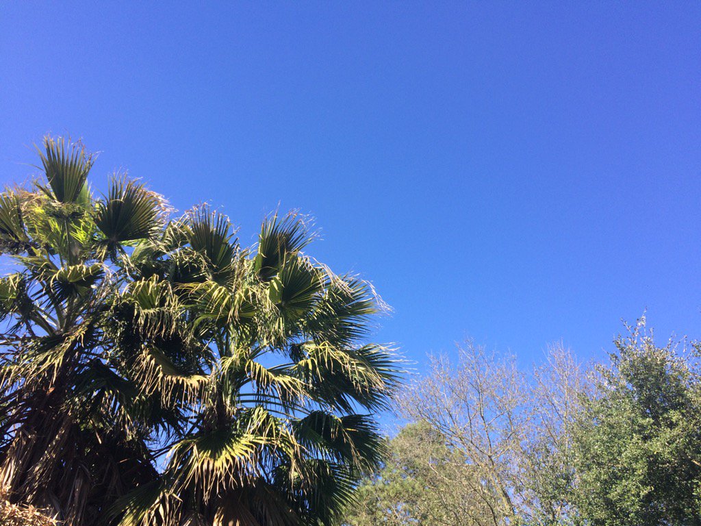
Northwest Houston, TX during the early afternoon.
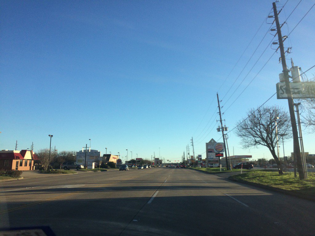
Katy, TX during the early evening.
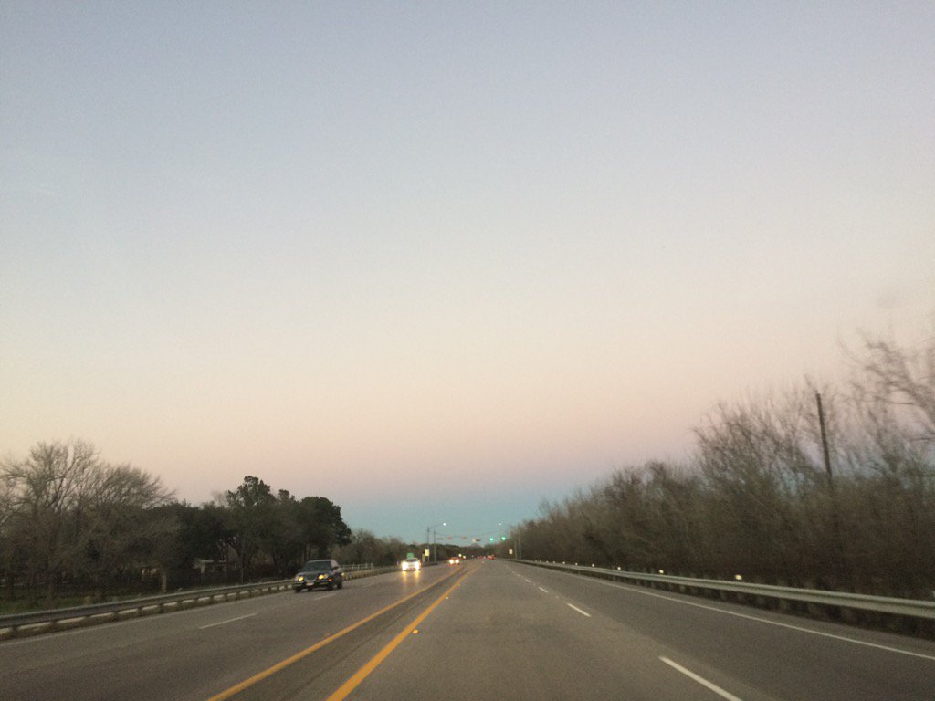
Northwest Houston, TX during the late evening.
Notes: A big layer of bright white mixed with light to dark grey, thick, flat, puffy, low stratus clouds looked to cover the whole sky in northwest Houston, TX during the early morning. Big to small, bright white, thick, flat, high stratus clouds looked to be scattered across the sky in northwest Houston, TX during the mid and late morning. The sky looked to have become clear, or maybe mostly cleared of the high stratus clouds in northwest Houston, TX during the early afternoon. The sky looked to be clear, or maybe mostly clear in northwest Houston, TX during the mid and late afternoon. The sky looked to be clear, or maybe mostly clear in west Houston, TX and Katy, TX during the early evening. There looked to be a few big, bright white mixed with light to dark grey, thick, flat, high stratus clouds in the horizon in northwest and west Houston, TX and Katy, TX during the late evening. A few big to small, bright white, thick, flat, high stratus clouds looked to be scattered across the sky in northwest Houston, TX during the early night. The wind speeds looked to be calm with moderate to moderately strong gusts in northwest Houston, TX during the early and mid-morning. The wind speeds looked to be moderate to moderately strong with really strong gusts (25 to 40+ mph) in northwest Houston, TX during the late morning and afternoon. The wind speeds looked to be calm with moderate to moderately strong gusts and maybe still some occasional really strong gusts (20-30 mph) in west Houston, TX and Katy, TX during the evening. The wind speeds looked to be calm with moderate to moderately strong gusts and maybe still some occasional really strong gusts (20-30 mph) in northwest Houston, TX during the late evening and early night. It felt cold in northwest Houston, TX during the early and mid-morning. It felt cool, almost cold in northwest Houston, TX during the late morning. It felt warm with a very cool, chilly wind in northwest Houston, TX during the afternoon. It felt cool in west Houston, TX and Katy, TX during the early evening. It felt cool in northwest and west Houston, TX and Katy, TX during the during the late evening. It felt cool, maybe a little cool in northwest Houston, TX during the night. There was a wind advisory issued for Houston, TX, along with a gale watch, and a low water advisory issued for the coastal areas of Houston, TX. I didn't see, or hear about any other advisories, watches, or warnings issued. There might have been a dense fog issued for the coastal areas of Houston, TX.
Summary: The day felt mostly cool, almost cold with the strong wind gusts. The sky was warm and inviting, but it felt cold. The strong wind gusts knocked down many power poles and caused traffic lights and power to go off, causing major traffic on highway 6 and a few other areas in Houston, TX. My houses power didn't go out, but I heard that a few areas in Houston, TX had some power outages. The wind gusts were reported to be as high as 45 mph in some areas in Houston, TX.
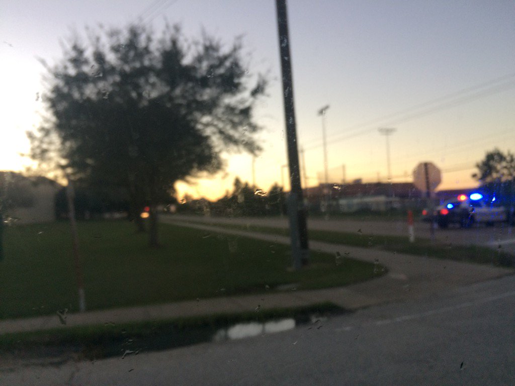
A picture that I took of police cars blocking a road that had a downed power line, on Tully and Fern, st. in west Houston, TX.
Thoughts: That was some strong wind!
Area Forecast Discussion
Issued by NWS Houston/Galveston, TX
Issued by NWS Houston/Galveston, TX
Versions: 1 2 3 4 5 6 7 8 9 10 11 12 13 14 15 16 17 18 19 20 21 22 23 24 25 26 27 28 29 30 31 32 33 34 35 36 37 3839 40 41 42 43 44 45 46 47 48 49 50
000
FXUS64 KHGX 230040
AFDHGX

Area Forecast Discussion
National Weather Service Houston/Galveston TX
640 PM CST Sun Jan 22 2017

.AVIATION...
VFR - Powerful low over northern Georgia with strong NW flow
across SETX late this afternoon. Gradient will be relaxing tonight
as well as quick cooling allowing the strong gusty winds to wane.
Wrap around clouds have departed the area so SKC skies on tap
tonight/Monday. Winds remain NW diminishing tonight then resuming
at 6-12kts Monday after the sun warms us up. Weak high pressure
over STX slides south into the Gulf Monday afternoon and this will
lead to winds becoming westerly Monday afternoon then light and
variable then light southerly by Monday evening. The moistening
flow Monday night may lead to some fog Tuesday morning.
45

&&

.PREV DISCUSSION... /ISSUED 401 PM CST Sun Jan 22 2017/

DISCUSSION...
It has been one of the windiest days the region has experienced in
quite some time. Many areawide sites were reporting 25 to 35 mph
sustained...with gusts to around 45 mph...throughout the day.
This has wrecked havoc on some Houston area power grids as (per
many social media reports) there have been reports of downed power
lines/poles and trees. These strong gradient winds will weaken
going into the sunset hours...inland winds falling to under 15
mph by midnight. Coastal winds to fall to under 15 knots during
the pre-dawn Monday morning hours.

The upper low currently behind the deadly storm system impacting
the southeastern U.S. this afternoon is forecast to move off the
Mid-Atlantic coastline tomorrow evening. In the meantime...
transitory riding will fill in its wake and weaken this offshore
flow. A weakened north wind with starry overnight skies will allow
regional thermometers to fall into the interior lower to middle
40s...lower 50s along a breezier shore. Monday`s sunny and dry
conditions will counter weak cold air advection and allow T readings
to reach the 70s. Surface high pressure advancing east on Tuesday
will have flow returning onshore for just a day (or less). A
partially cloudy day with a subtle veering of the lower level
southerly wind will provide a familiar day of above normal
warmth...back in the lower 80s by day`s close. A somewhat dry cold
frontal passage Wednesday will swing winds around to offshore
through Thursday night. Light precipitation is expected in association
with the frontal passage. A much weaker backing pressure gradient
should not make for an inland wind issue...although offshore
flags will likely go up by late Thursday evening. The story will
be the cold late week air mass that fills in behind this frontal
boundary. 85H temps do fall between 0-5 deg C going into the weekend
that will translate to...wait for it...near normal diurnal (weekend)
temperature behavior. Early Saturday light QPF the ECMWF is hanging
on to may be a stretch with the limited available moisture. A somewhat
sharp trough passage across NE Texas during that time may support
the lift for this light precip...all liquid with a relatively deep
above freezing layer up to 6-7 k feet (per the GFS). 31

MARINE...
Moderate to strong W-NW winds will persist over the Gulf waters tonight
and slowly decrease after midnight. Will maintain the Gale Warning
over the Gulf waters but change the Bays to a Small Craft Advisory
as winds are expected to decrease very early this evening. Considerably
lighter W-NW winds are expected Monday as weak high pressure settles
over South Texas. Low pressure will develop in the lee of the
Rockies on Monday night and the pressure gradient will begin to
tighten. The onshore flow will increase on Tuesday. Lighter winds
expected on Tuesday night in advance of a cold front. The cold front
will cross the coastal waters early Wednesday with an offshore
flow developing in the wake of the front. Offshore winds expected
through Thursday as high pressure settles over Central Texas.
Surface high pressure moves east on Thursday night and sfc winds
will become easterly through Friday night. Another front will
cross the coastal waters early Saturday. SCA conditions possible
behind the front next Saturday.

The W-NW component to the winds will drive water out of Galveston
Bay and tide levels are very low at Morgans Pt and Manchester. A Low
Water Advisory will be extended through 03z tonight. Water levels at
Manchester are almost 2.0 feet below normal. Recovery in the upper
reaches of the bay are expected to be slow.  43

FIRE WEATHER...
Will maintain the RFW for the western third of SE TX through 23z. Although
RH values never reached 25 percent, winds gusting to over 40 knots and dry
fine fuels such as grasses created elevated to critical fire weather
conditions. RH values over the west are between 30 and 40 percent.
RH values could be a bit lower on Monday but winds will be considerably
lighter on Monday so a RFW is unlikely at this time. 43

&&

.PRELIMINARY POINT TEMPS/POPS...
College Station (CLL)      43  71  52  79  50 /   0   0   0  10  10
Houston (IAH)              45  70  52  80  57 /   0   0   0  10  20
Galveston (GLS)            52  67  60  76  62 /   0   0   0  10  20

&&

.HGX WATCHES/WARNINGS/ADVISORIES...
TX...NONE.
GM...Small Craft Advisory until 3 AM CST Monday for the following
     zones: Galveston Bay...Matagorda Bay.

     Gale Warning until midnight CST tonight for the following zones:
     Coastal waters from Freeport to the Matagorda Ship Channel
     out 20 NM...Coastal waters from High Island to Freeport out
     20 NM...Waters from Freeport to the Matagorda Ship Channel
     from 20 to 60 NM...Waters from High Island to Freeport from
     20 to 60 NM.

&&

$$

Discussion...41
Aviation/Marine...45
Hazardous Weather Outlook
HAZARDOUS WEATHER OUTLOOK
NATIONAL WEATHER SERVICE HOUSTON/GALVESTON TX
438 AM CST SUN JAN 22 2017

TXZ163-164-176>179-195>200-210>214-226-227-235>238-231045-
AUSTIN-BRAZORIA-BRAZOS-BURLESON-CHAMBERS-COLORADO-FORT BEND-
GALVESTON-GRIMES-HARRIS-HOUSTON-JACKSON-LIBERTY-MADISON-MATAGORDA-
MONTGOMERY-POLK-SAN JACINTO-TRINITY-WALKER-WALLER-WASHINGTON-
WHARTON-
438 AM CST SUN JAN 22 2017

THIS HAZARDOUS WEATHER OUTLOOK IS FOR PORTIONS OF SOUTHEAST TEXAS..

.DAY ONE...TODAY AND TONIGHT
VERY STRONG WINDS ARE EXPECTED TO DEVELOP TODAY AND A WIND
ADVISORY HAS BEEN ISSUED. WINDS OF 20 TO 30 MPH WILL BE POSSIBLE
ACROSS MUCH OF SOUTHEAST TEXAS... WITH STRONGER GUSTS IN EXCESS OF
35 MPH.

.DAYS TWO THROUGH SEVEN...MONDAY THROUGH SATURDAY
HAZARDOUS WEATHER IS NOT EXPECTED AT THIS TIME.

.SPOTTER INFORMATION STATEMENT...
SPOTTER ACTIVATION IS NOT EXPECTED.

$$
No comments:
Post a Comment