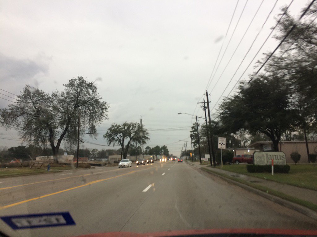
West Houston, TX during the late afternoon.

Northwest Houston, TX during the early evening.
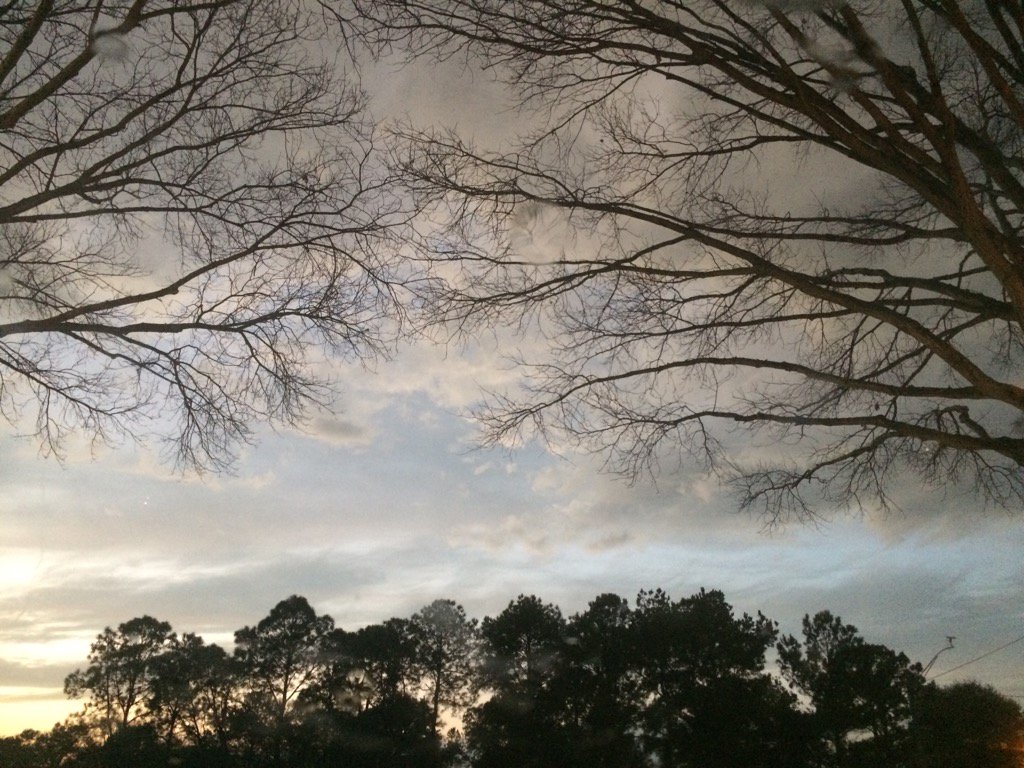
Northwest Houston, TX during the late evening.

Northwest Houston, TX during the early night.
Notes: A big layer of bright white mixed with light to dark grey, thick, flat, puffy, low stratus clouds looked to cover the whole sky in northwest and west Houston, TX during the early morning. Big to small, bright white, maybe some bright white mixed with light to dark grey, thick, flat, some puffy, low and high stratus clouds looked to cover most of the sky in west Houston, TX during the mid and late morning, and early afternoon. A big layer of bright white mixed with light to dark grey, thick, flat, puffy, low stratus clouds looked to cover the whole and sometimes most of the sky in west Houston, TX during the mid and late afternoon. A big layer of bright white mixed with light to dark grey, thick, flat, puffy, low stratus clouds looked to cover the whole and sometimes most of the sky in northwest Houston, TX during the late afternoon and evening. A big layer of bright white mixed with light to dark grey, thick, flat, puffy, low and maybe sometimes high stratus clouds looked to cover the whole and sometimes most of the sky in northwest Houston, TX during the night. The wind speeds looked to be calm in northwest and west Houston, TX during the early morning. The wind speeds looked to be calm with moderate and moderately strong gusts in west Houston, TX during the mid and late morning, and afternoon. The wind speeds looked to be calm with some moderate and maybe some moderately strong gusts in northwest Houston, TX during the late afternoon, evening, and night. It felt cool in northwest and west Houston,TX during the early morning. It felt a little cool in west Houston, TX during the mid-morning. It started to feel warm in west Houston, TX during the late morning. It felt very warm in west Houston, TX during the early and mid-afternoon. It felt warm in northwest and west Houston, TX during the late afternoon. It felt a little cool in northwest Houston, TX during the evening and night. There was a 30 to 90 percent chance for rain for Houston, TX during the mid afternoon through the late night. There was a dense fog advisory issued for the whole Houston, TX area during the early and mid-morning. I think there was another dense fog advisory issued for the coastal areas of Houston, TX during the night. There were a few flood advisories, watches, and warnings, along with severe thunderstorm warnings and maybe a tornado warning issued for the heavy showers and thunderstorms that passed through the Houston, TX area during the mid and late afternoon, evening, and night.
Summary: A big cluster of light to mostly really heavy rain passed through most of the Houston, TX area during the mid and late afternoon, evening, and night. A really heavy thunderstorm passed through west Houston, TX were I work during the mid-afternoon. Light rain with flashes of lightning and low rumbles of thunder followed me from where I work in west Houston, TX to where I live in northwest Houston, TX during the late afternoon and early evening. Light rain with lightning and low rumbles of thunder was still falling at my house in northwest Houston, TX during the late evening. A really heavy shower with maybe some flashes of lightning and low rumbles of thunder passed through on my way from Dominoes in Northwest Houston, TX to my house in northwest Houston, TX during the early night. The last round of light to really heavy rain, lightning, and thunder started to pass over my house in northwest Houston, TX, sometime during 8 pm and continued on until sometime during 11 pm. I didn't see any flooding, just huge puddles near the gutters of the streets. I didn't see, or hear about any storm damage, or tornadoes forming.
Thoughts: A very active very warm/rain day. I didn't expect it to get so warm and to get that much rain, but thankfully the heavy rain moved away quickly causing little harm, another than maybe some flash flooding.
Area Forecast Discussion
Issued by NWS Houston/Galveston, TX
Home | Current Version | Previous Version | Text Only | Print | Product List | Glossary Off
Versions: 1 2 3 4 5 6 7 8 9 10 11 12 13 14 15 16 17 18 19 20 21 22 23 24 25 26 27 28 29 30 31 32 33 34 35 36 37 38 39 40 41 42 43 44 45 46 47 48 49 50
000
FXUS64 KHGX 202116
AFDHGX
Area Forecast Discussion
National Weather Service Houston/Galveston TX
316 PM CST Fri Jan 20 2017
DISCUSSION...
Showers and a few thunderstorms have begun to develop near the
Victoria Crossroads this afternoon, with additional development
expected through the remainder of the evening hours as a 140 knot
upper level jet slides across the region. Little has changed in
overall expectations with storm evolution as 30-40 knots of
effective bulk shear per SPC mesoanalysis will promote organized
multicellular to possibly supercellular thunderstorms.
Environmental conditions remain favorable for the development of
large hail as mid-level cooling resulting from the passage of an
upper trough axis results in lapse rates steepening to 7-8 C/km
this evening with forecast soundings advertising wet bulb zero
heights around 8500 feet. (Heights between 7000 and 11000 feet are
usually good indicators of large hail development, assuming other
environmental conditions are also favorable for strong
convection.) These steep mid-level lapse rates will also promote
strong momentum transport, allowing for a damaging wind threat to
materialize as well. While hail and damaging winds will remain the
primary threats, afternoon surface analysis does show an area of
surface convergence or a possible warm frontal boundary along the
Highway 59 corridor. Updrafts along this boundary may be able to
ingest enough horizontal vorticity to promote a brief tornado or
two, especially as surface winds south of the boundary back
towards the southeast by late afternoon.
With regards to a heavy rain threat, thunderstorms near the
Victoria Crossroads this afternoon have produced an estimated
1-1.5 inches of rain and stronger cells will be able to produce
similar 1-2 inch amounts as they move across Southeast Texas
through this evening. Flow is not uniform and storm motion will be
very quick, but repeated development along the Highway 59 boundary
will need to be monitored for producing locally higher rainfall
amounts and minor flooding issues. Overall, expect thunderstorms
to gradually increase in coverage through the remainder of the
afternoon with scattered to numerous thunderstorms shifting east
of the region after midnight tonight. Patchy fog development is
expected again after midnight, with fog lingering into mid-morning
Saturday.
A second disturbance will dive across Texas from California on
Saturday, resulting in the development in a surface cyclone on the
Southern Plains. Showers and a few thunderstorms will be possible
mainly north of Interstate 10 during the day Saturday with
increasing lift from the upper disturbance overspreading Central
and East Texas. The departure of the upper disturbance Saturday
night will drag the surface cyclone and an associated Pacific cold
front eastward, with much drier air, an end to rain chances for a
few days, and increasing winds expected behind the front by Sunday
morning. Gradient winds behind the front will result in 20-30 MPH
northwest winds across the region on Sunday with stronger winds
30-35 MPH along the coast. Wind gusts may exceed 40 MPH Sunday
morning and afternoon and Wind Advisories will likely be needed.
Dry conditions with temperatures in the mid 60s to mid 70s are
expected Monday and Tuesday next week, with a weak cold front by
mid-week bringing near seasonal temperatures (highs in the lower
60s, lows in the lower 40s) and a chance for some light rain.
Huffman
&&
.MARINE...
Showers and thunderstorms are possible this afternoon and this
evening, and some of the them could become strong or severe. Light
to moderate south to southwest winds will persist until a strong
cold front moves through the waters Saturday night. Before the
front arrives, there is still a chance for mainly late night
through morning fog development, and some of the fog could become
dense. Very strong and gusty west to northwest winds along with
very rough bay waters will develop behind the front Saturday night
through Sunday evening, and a gale watch is currently in effect
for that time period. This watch will most likely need to be
upgraded to a gale warning for parts of the area, and low water
advisories will probably be needed too. Look for winds and seas to
gradually come down Sunday night through Monday. Onshore winds
return to the area Monday night and strengthen on Tuesday. This
generally light to moderate onshore flow persists until the next
cold front arrives on Wednesday. 42
&&
.FIRE WEATHER...
Strong and gusty west to northwest winds on Sunday will likely be
high enough for elevated fire weather conditions, but relative
humidity values are still expected to be too high (in the 40s). On
Monday, humidities drop into the 30s but winds are weaker. At this
point, still not anticipating any fire weather watch or red flag
warning. 42
&&
.PRELIMINARY POINT TEMPS/POPS...
College Station (CLL) 72 57 76 47 66 / 10 20 10 30 10
Houston (IAH) 75 59 78 54 67 / 20 50 10 20 10
Galveston (GLS) 75 64 73 58 66 / 40 60 10 10 10
&&
.HGX WATCHES/WARNINGS/ADVISORIES...
TX...NONE.
GM...Gale Watch from late Saturday night through Sunday evening for
the following zones: Coastal waters from Freeport to the
Matagorda Ship Channel out 20 NM...Coastal waters from High
Island to Freeport out 20 NM...Galveston Bay...Matagorda
Bay...Waters from Freeport to the Matagorda Ship Channel
from 20 to 60 NM...Waters from High Island to Freeport from
20 to 60 NM.
&&
$$
Discussion...14
Aviation/Marine...42
No comments:
Post a Comment