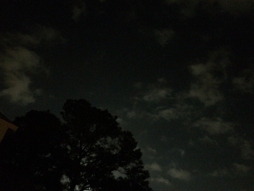
Northwest Houston, TX during the early night.
Notes: Big to small, bright white, bright white mixed with light to dark grey and maybe some blueish grey, thick, flat, low stratus clouds looked to cover most of the sky in northwest Houston, TX during the morning, afternoon, and evening. Big to small, bright white, thick, flat, high stratus clouds looked to be widely scattered across the sky in northwest Houston, TX during the early night. The wind speeds looked to be moderate with moderately strong to really strong (25-30 mph) wind gusts in northwest Houston, TX during the morning, afternoon, and evening. The wind speeds looked to be relatively calm with moderate and maybe some moderately strong gusts in northwest Houston, TX during the early night. It felt warm in northwest Houston, TX during the morning, evening, and night. It started to feel really warm in northwest Houston, TX during the early afternoon. It felt really warm in northwest Houston, TX during the mid and late afternoon. There was a slight chance for rain. I didn't hear about, or feel any rain drops. I think I saw some light showers in and around the Houston, TX area on the radar, sometime during the day. There were no watches, warnings, or advisories issued for the Houston, TX area that I know of. There may have been a wind advisory issued.
Thoughts: I am feeling the warmth. I hear Houston, TX got near record highs.
Hazardous Weather Outlook
HAZARDOUS WEATHER OUTLOOK
NATIONAL WEATHER SERVICE HOUSTON/GALVESTON TX
329 AM CST WED JAN 11 2017

TXZ163-164-176>179-195>200-210>214-226-227-235>238-120930-
AUSTIN-BRAZORIA-BRAZOS-BURLESON-CHAMBERS-COLORADO-FORT BEND-
GALVESTON-GRIMES-HARRIS-HOUSTON-JACKSON-LIBERTY-MADISON-MATAGORDA-
MONTGOMERY-POLK-SAN JACINTO-TRINITY-WALKER-WALLER-WASHINGTON-
WHARTON-
329 AM CST WED JAN 11 2017

THIS HAZARDOUS WEATHER OUTLOOK IS FOR PORTIONS OF SOUTHEAST TEXAS..

.DAY ONE...TODAY AND TONIGHT

STRONG SOUTHERLY WINDS ARE EXPECTED THIS MORNING THROUGH EARLY
EVENING AND A WIND ADVISORY IS IN EFFECT FOR AREAS WEST AND
SOUTHWEST OF HOUSTON.

SEA FOG WILL BE POSSIBLE ALONG THE COAST TODAY AND TONIGHT.

.DAYS TWO THROUGH SEVEN...THURSDAY THROUGH TUESDAY

SEA FOG WILL BE POSSIBLE ALONG THE COAST THROUGH FRIDAY.

AN APPROACHING UPPER LEVEL SYSTEM WILL BRING INCREASING SHOWER
AND THUNDERSTORM CHANCES SUNDAY AND MONDAY... WITH LOCALLY HEAVY
RAIN AND A FEW STRONG STORMS POSSIBLE DURING THIS TIME. RAIN
CHANCES MAY LINGER INTO TUESDAY.

.SPOTTER INFORMATION STATEMENT...

SPOTTER ACTIVATION IS NOT EXPECTED AT THIS TIME.

$$
No comments:
Post a Comment