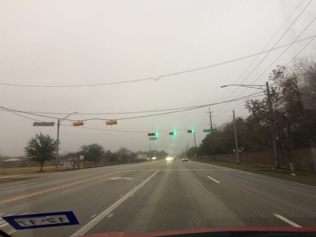
Northwest Houston, TX during the early morning.
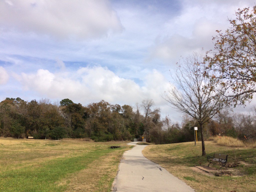
Terry Hershey Park in west Houston, TX during the early afternoon.
Notes: A big, bright white mixed with light to dark grey, thick, flat, puffy, low stratus cloud looked to cover the whole sky in northwest and west Houston, TX during the early and maybe mid-morning. Big to small, bright white, bright white mixed with light to dark grey and blueish grey, thick, puffy, low stratus clouds with big to small, bright white, thick, flat, wavy, cirro stratus clouds on top looked to cover most of the sky in west Houston, TX during the late morning and early afternoon. Big to small, bright white, bright white mixed with light to dark grey and blueish grey, thick, puffy, low stratus clouds with big to small, bright white, thick, flat, wavy, cirro stratus clouds on top looked to cover most of the sky in northwest Houston, TX during the afternoon and evening. The sky looked to be clear with maybe some big to small, bright white, thin, cirro stratus clouds, in northwest Houston, TX during the early night. Big to small, bright white, thick, flat, high stratus clouds looked to cover most, or maybe the whole sky in northwest Houston, TX during the late night.
The wind speeds looked to be calm in northwest and west Houston, TX during the early morning. The wind speeds looked to be calm in west Houston, TX during the mid-morning. The wind speeds looked to be relatively calm with moderate gusts and some moderately strong gusts in west Houston, TX during the late morning and early afternoon. The wind speeds looked to be relatively calm with moderate gusts and some moderately strong gusts in northwest Houston, TX during the afternoon, evening, and early night. The wind speeds looked to be calm with maybe some moderate and moderately strong gust in northwest Houston, TX during the late night. It felt warm, maybe a little cool in northwest and west Houston, TX during the early morning. It felt warm, maybe a little cool in west Houston, TX during the mid-morning. It felt warm in west Houston, TX during the late morning. It felt really warm, almost hot in northwest and west Houston, TX during the early afternoon. It felt really warm, almost hot in northwest Houston, TX during the mid-afternoon. It started to feel warm in northwest Houston, TX during the late afternoon. It felt warm in northwest Houston, TX during the evening. It felt cool in northwest Houston, TX during the night. There was a dense fog advisory issued from NOAA for the coastal areas of Houston, TX during the morning, afternoon, evening, night. There was a light to moderate dense fog when I was on my way to work in west Houston, TX, from northwest Houston, TX. There were rain drops on my car in northwest Houston, TX during the early morning before I left for work. Probably from the dense fog. There was a slight (20 to 30, maybe 40%) chance for rain for the Houston, TX area for the day. I didn't feel, or hear about any rain drops. I may have saw some light isolated showers on the radar in, or maybe near the Houston, TX area, but I don't remember.
Thoughts: I wonder if Houston, TX broke any record highs today. No rain yet.
Hazardous Weather Outlook
HAZARDOUS WEATHER OUTLOOK
NATIONAL WEATHER SERVICE HOUSTON/GALVESTON TX
519 AM CST SAT JAN 14 2017

TXZ163-164-176>179-195>200-210>214-226-227-235>238-151130-
AUSTIN-BRAZORIA-BRAZOS-BURLESON-CHAMBERS-COLORADO-FORT BEND-
GALVESTON-GRIMES-HARRIS-HOUSTON-JACKSON-LIBERTY-MADISON-MATAGORDA-
MONTGOMERY-POLK-SAN JACINTO-TRINITY-WALKER-WALLER-WASHINGTON-
WHARTON-
519 AM CST SAT JAN 14 2017

THIS HAZARDOUS WEATHER OUTLOOK IS FOR PORTIONS OF SOUTHEAST TEXAS..

.DAY ONE...TODAY AND TONIGHT

AREAS OF SEA FOG WILL LINGER NEAR THE COAST TODAY. VISIBILITIES
WILL VARY GREATLY...RANGING BETWEEN 1 AND 6 MILES. LOCALLY DENSE
FOG WILL BE POSSIBLE ALONG THE BARRIER ISLANDS AND NEAR GALVESTON
BAY WITH VISIBILITY DROPPING BELOW A 1/2 MILE AT TIMES.

.DAYS TWO THROUGH SEVEN...SUNDAY THROUGH FRIDAY

AN APPROACHING UPPER LEVEL SYSTEM WILL BRING INCREASING SHOWER AND
THUNDERSTORM CHANCES MONDAY THROUGH WEDNESDAY...WITH LOCALLY HEAVY
RAIN AND A FEW STRONG STORMS POSSIBLE DURING THIS TIME.

.SPOTTER INFORMATION STATEMENT...

SPOTTER ACTIVATION WILL NOT BE NEEDED.

$$
Dense Fog Advisory
URGENT - WEATHER MESSAGE
NATIONAL WEATHER SERVICE HOUSTON/GALVESTON TX
1156 PM CST SAT JAN 14 2017

...DENSE FOG ADVISORY IS IN EFFECT...

.POCKETS OF DENSE FOG ARE OCCURRING AROUND GALVESTON BAY WITH
VISIBILITES AROUND A 1/4 MILE OVER SOUTHEAST HARRIS COUNTY AND
NORTHERN BRAZORIA COUNTY. THERE MAY BE PERIODS OF IMPROVEMENT BUT
DENSE FOG SHOULD CONTINUE TO IMPACT THOSE SURROUNDING GALVESTON
BAY DURING THE PRE-DAWN HOURS.

TXZ213-214-237-238-150900-
/O.NEW.KHGX.FG.Y.0005.170115T0600Z-170115T0900Z/
BRAZORIA-CHAMBERS-GALVESTON-HARRIS-
INCLUDING THE CITIES OF...ALVIN...ANAHUAC...ANGLETON...FREEPORT...
FRIENDSWOOD...GALVESTON...HOUSTON...HUMBLE...KATY...
LAKE JACKSON...LEAGUE CITY...MONT BELVIEU...PASADENA...PEARLAND...
TEXAS CITY...TOMBALL...WINNIE
1156 PM CST SAT JAN 14 2017

...DENSE FOG ADVISORY IN EFFECT UNTIL 3 AM CST SUNDAY...

THE NATIONAL WEATHER SERVICE IN HOUSTON/GALVESTON HAS ISSUED A
DENSE FOG ADVISORY...WHICH IS IN EFFECT UNTIL 3 AM CST SUNDAY.

* EVENT...DENSE FOG.

* TIMING...EARLY SUNDAY MORNING.

* IMPACT...PERIODIC LOWERING OF VISIBILITIES TO UNDER A MILE.

PRECAUTIONARY/PREPAREDNESS ACTIONS...

A DENSE FOG ADVISORY MEANS VISIBILITIES WILL FREQUENTLY BE
REDUCED TO LESS THAN ONE QUARTER MILE. IF DRIVING...SLOW DOWN...
USE YOUR HEADLIGHTS...AND LEAVE PLENTY OF DISTANCE AHEAD OF YOU.

&&

$$
No comments:
Post a Comment