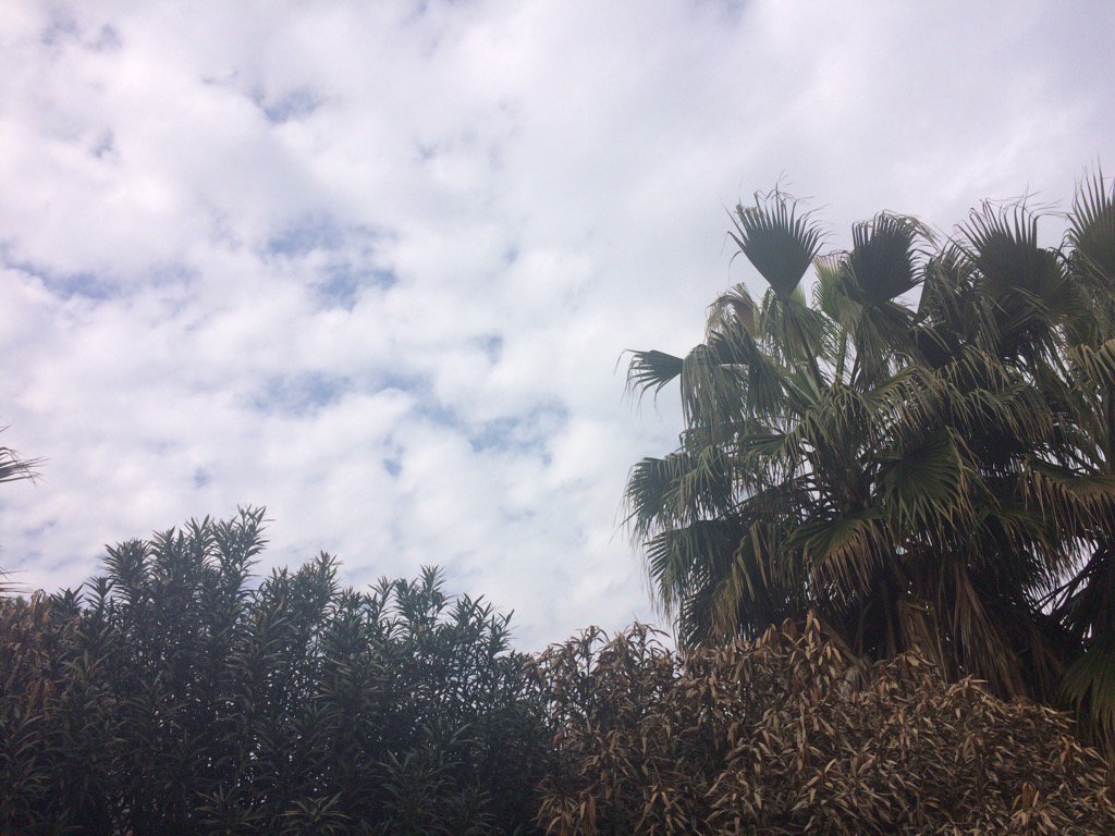
Northwest Houston, TX at around 12:30 pm.
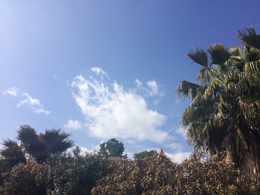
Northwest Houston, TX at around 1 pm.
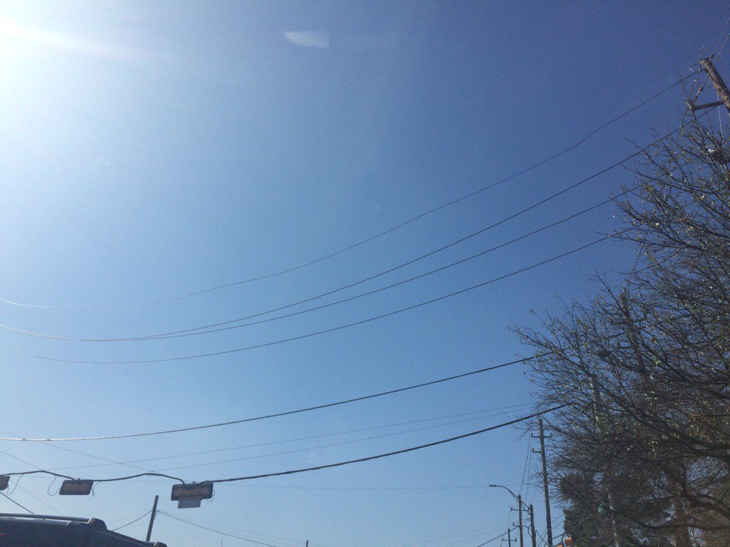
Northwest Houston, TX at around 2 pm.
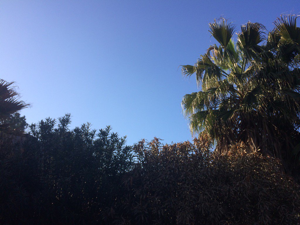
Northwest Houston, TX during the late afternoon.
Notes: A big layer of bright white mixed with light to dark grey, thick, flat, puffy, low stratus clouds looked to cover the whole sky in northwest Houston, TX during the early and mid-morning. Big to small, bright white, thick, flat, high stratus clouds looked to cover most of the sky in northwest Houston, TX during the late morning. The sky started to become clear in northwest and west Houston, TX during the early afternoon. The sky looked to be clear in northwest Houston, TX during the mid and late afternoon. A few big to small, bright white, thick, flat, high stratus clouds looked to be scattered across the sky in northwest Houston, TX during the evening. Big to small, bright white, some bright white mixed with light to dark grey, thick, flat, high, maybe low stratus clouds looked to cover most of the sky in northwest Houston, TX during the night. The wind speeds looked to be calm with moderate gusts and maybe some occasional moderately strong gusts in northwest Houston, TX during the morning, afternoon, evening, and night. The wind speeds looked to be calm with moderate gusts and maybe some occasional moderately strong gusts in west Houston, TX during the early afternoon. It felt warm in northwest Houston, TX during the morning, late afternoon, and evening. It started to feel warm, almost very warm in northwest and west Houston, TX during the early afternoon. It felt warm, almost very warm in northwest Houston, TX during the mid-afternoon. It started to feel a little cool, almost cool in northwest Houston, TX during the early night. It felt a little cool, almost cool in northwest Houston, TX during the late night. All was dry during most of the day, until near the late night where a round of light to moderately heavy and some really heavy showers and thunderstorms passed through most of the Houston, TX area. There was a wind advisory, gale watch, and low water advisory issued for the next day. No other advisory where issued. There might have been a dense fog advisory issued during the night for the next day, but I don't remember seeing one.
Summary: The day was mostly clear, warm, and dry for most of the day where I was in northwest and west Houston, TX. A line of showers a thunderstorms started to passed through the Houston, TX area at around 9 pm and looked to have passed through most if not the whole Houston, TX area, bringing rain to Houston, TX during 9, 10, and maybe 11 pm. Mostly light rain with some moderately heavy to maybe really heavy rain passed over my house in northwest Houston, TX during 9, 10, and maybe 11 pm. A didn't see any flooding, just wet roads and maybe a few small puddles. I didn't see, or hear about any damages from the showers and thunderstorms.
Thoughts: Well the last round of rain for Houston, TX has finally passed. NOAA says there is a small chance for winter precip next Saturday!
Area Forecast Discussion
Issued by NWS Houston/Galveston, TX
Issued by NWS Houston/Galveston, TX
Versions: 1 2 3 4 5 6 7 8 9 10 11 12 13 14 15 16 17 18 19 20 21 22 23 24 25 26 27 28 29 30 31 32 33 34 35 36 37 3839 40 41 42 43 44 45 46 47 48 49 50
000
FXUS64 KHGX 220349
AFDHGX

Area Forecast Discussion
National Weather Service Houston/Galveston TX
949 PM CST Sat Jan 21 2017

.DISCUSSION...
Continuing to see scattered showers/isolated thunderstorms develop
and move across SE TX this evening, all out ahead of the main cold
front (which appears to be just outside the CWA along a Palestine/
Granger/Cotulla line). Some activity also appears to be forming on
the front as well, but the better lift (likely from a passing vort
max) looks to be moving across areas just along and south of I-10.
Inherited POP/WX grids seem to have this covered so did not make a
lot of changes with this update. 41

&&

.PREV DISCUSSION...  /ISSUED 409 PM CST Sat Jan 21 2017/

Jet core advancing north out of the Rio Grande and streaming
across south central state. This strengthened slightly veered
westerly flow...along with the low-mid level advection of a Valley
dry air mass...has cleared skies out to clear. Full sun to the
surface...with a westerly component to the surface wind
field...has allowed some locations in (and south-west) of the city
to touch the lower 80s. Generally a day in the middle to upper 70s
with an anticipated clear evening allowing temperatures to quickly
fall into the low to mid 60s shortly after sunset. Enhanced PVA
with lingering moisture ahead of a nearing cold frontal boundary
keep slight NE forecast area evening rain chances in place. Hirez
models show a 20-30 percent chance of -shra (possible rogue storm)
to clip the far northern counties. Sea fog just off the coast will
pull back to the shoreline in the coming hours...locally dense in
the evening as the region falls just downstream of an approaching
cold front.

The upper trough axis will be east of the region by 18Z Sunday...
with the associated cold frontal passage to occur from the early
overnight Sunday morning hours through the late morning hours.
Strong offshore winds in this front`s wake will reach advisory
criteria by 9 or 10 AM and maintain these magnitudes through
around this time tomorrow. Recent rain has saturated the ground
enough that shallow rooted trees may topple within these strong
daytime northerlies. Transitory ridging at all levels Monday will
weaken offshore winds with backing mid-upper flow drawing up a
warmer southwesterly air mass...85H temps will cool to the 4-5 C
range tomorrow afternoon during the brunt of the CAA and warm
back to around 16-17 C by Tuesday morning. Thus...after a relatively
cooler Sunday in the 60s and a Monday in the 70s...upper 70 to
lower 80 afternoons will be the theme Tuesday. A weak cold frontal
passage early Wednesday will regulate warming to the low to mid
60s once again. Slight rain chances will be painted across the SE
forecast area/Gulf Wednesday just ahead (or along) the boundary
as it travels offshore by Wednesday noon.

Mid to late week weak upper troughing over the MS River Valley...
with surface ridging enveloping the state...has northeast winds
veering to east through Friday. A relatively dry and cold frontal
passage slated for early Saturday will allow an arctic based
chilled air mass to spill into the region over the weekend.
Subfreezing mid-level air reaching the coast Saturday night will
lower overnight (weekend) minimums to under 40 F. There are slight
POPs in place early Saturday and...depending on the arrival of the
coldest lower-middle layer air in relation to the highest downstream
moisture...the mention of frozen precipitation may work its way
into future forecasts. 31

&&

.PRELIMINARY POINT TEMPS/POPS...
College Station (CLL)      50  67  44  74  51 /  30   0   0   0   0
Houston (IAH)              54  69  47  73  52 /  20   0   0   0   0
Galveston (GLS)            57  67  53  69  59 /  20   0   0   0   0

&&

.HGX WATCHES/WARNINGS/ADVISORIES...
TX...Wind Advisory from 9 AM to 5 PM CST Sunday for the following
     zones: Austin...Brazoria...Brazos...Burleson...Chambers...
     Colorado...Fort Bend...Galveston...Grimes...Harris...
     Houston...Jackson...Liberty...Madison...Matagorda...
     Montgomery...Polk...San Jacinto...Trinity...Walker...
     Waller...Washington...Wharton.

GM...Gale Warning from 2 AM to 9 PM CST Sunday for the following
     zones: Coastal waters from Freeport to the Matagorda Ship
     Channel out 20 NM...Coastal waters from High Island to
     Freeport out 20 NM...Galveston Bay...Matagorda Bay...Waters
     from Freeport to the Matagorda Ship Channel from 20 to 60
     NM...Waters from High Island to Freeport from 20 to 60 NM.

&&

$$
No comments:
Post a Comment