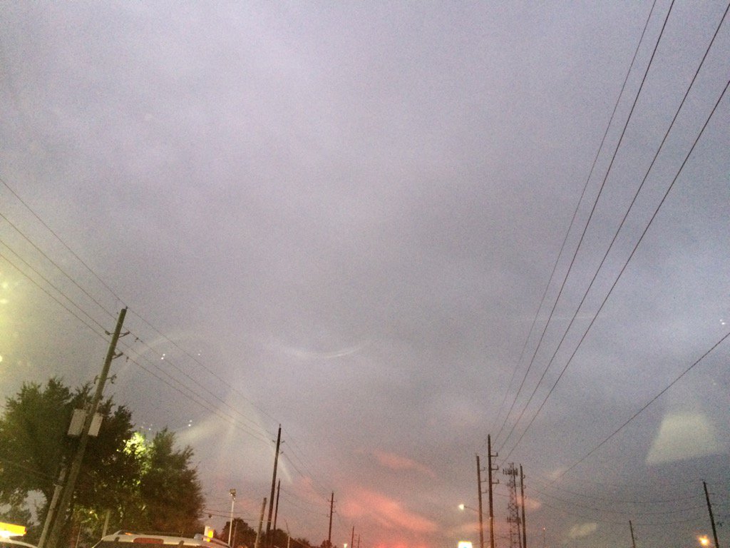
Northwest Houston, TX during the early morning.
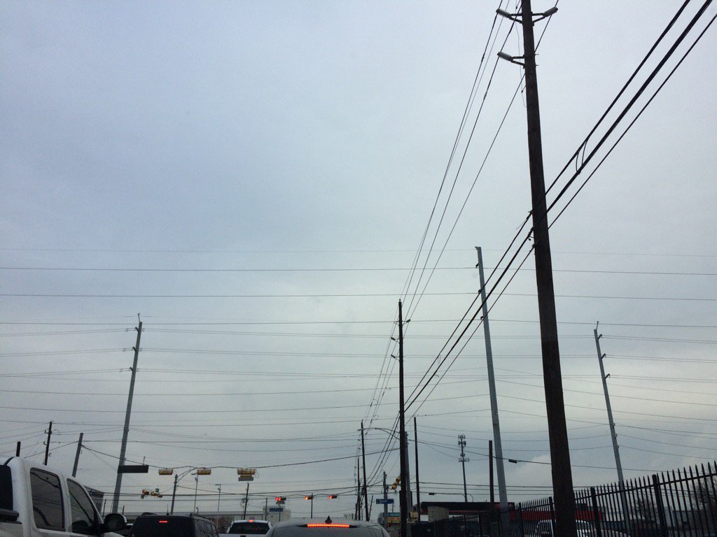
West Houston, TX during the late afternoon.
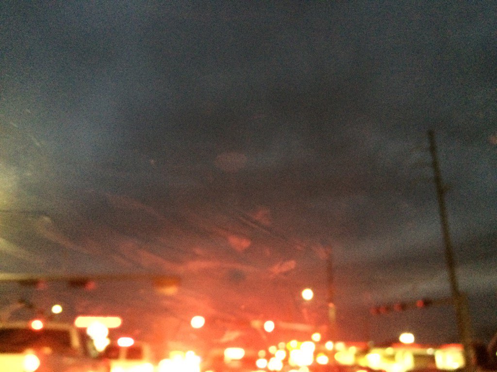
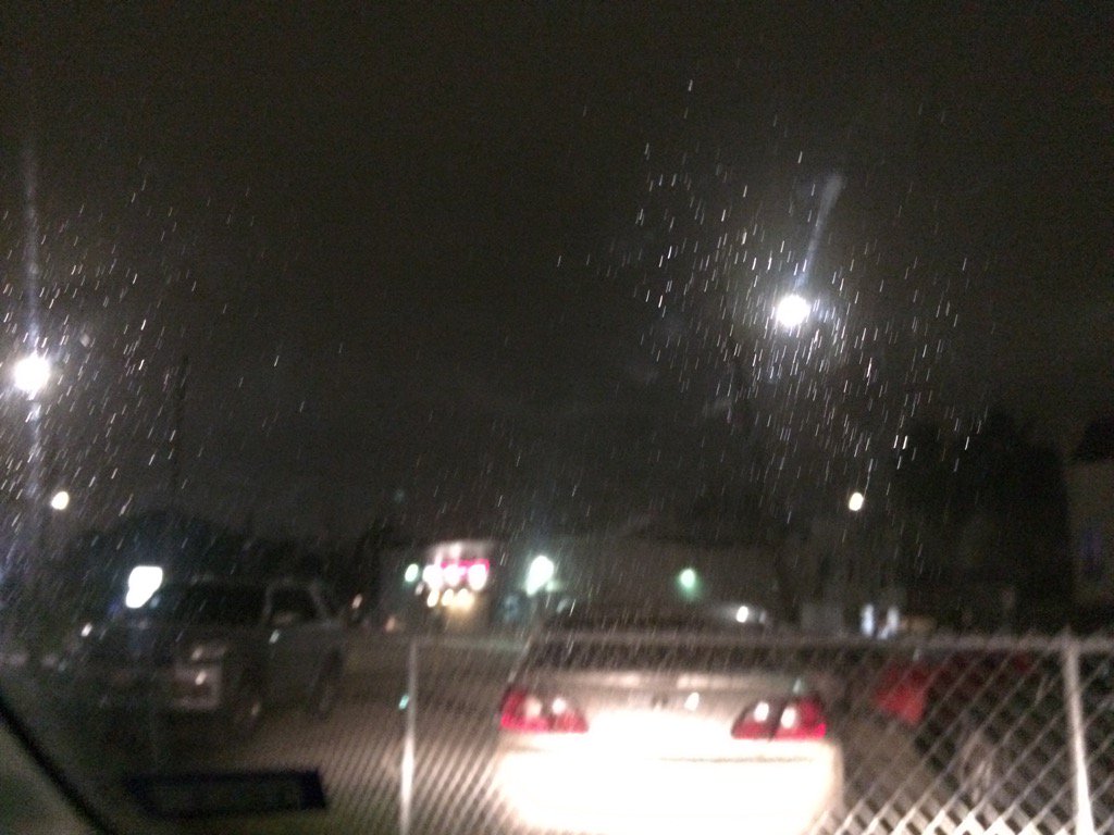
West Houston, TX during the late evening.
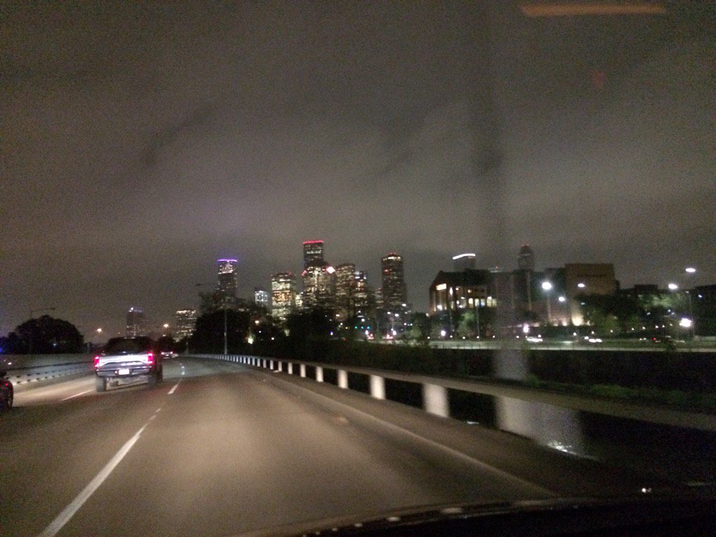
Downtown Houston, TX during the early night.
Central Houston, TX during the early night.
Notes: Light to moderately heavy drizzle and maybe rain in Houston, TX during the morning, afternoon, evening, and night. I saw some on and off light to moderately heavy drizzle in west Houston, TX during the morning and afternoon. I also saw some light to moderate drizzle in central Houston, TX during the early night. The day was mostly cloudy and cool.
Hazardous Weather Outlook
HAZARDOUS WEATHER OUTLOOK
NATIONAL WEATHER SERVICE HOUSTON/GALVESTON TX
539 AM CST THU JAN 5 2017

TXZ163-164-176>179-195>200-210>214-226-227-235>238-061145-
AUSTIN-BRAZORIA-BRAZOS-BURLESON-CHAMBERS-COLORADO-FORT BEND-
GALVESTON-GRIMES-HARRIS-HOUSTON-JACKSON-LIBERTY-MADISON-MATAGORDA-
MONTGOMERY-POLK-SAN JACINTO-TRINITY-WALKER-WALLER-WASHINGTON-
WHARTON-
539 AM CST THU JAN 5 2017

THIS HAZARDOUS WEATHER OUTLOOK IS FOR PORTIONS OF SOUTHEAST TEXAS.

.DAY ONE...TODAY AND TONIGHT

A COLD FRONT WILL PUSH THROUGH SOUTHEAST TEXAS THURSDAY, BRINGING
MUCH COLDER TEMPERATURES TO THE AREA FRIDAY AND THROUGH THE
WEEKEND. TEMPERATURES COULD FALL TO FREEZING AND BELOW FREEZING
LEVELS TONIGHT.

.DAYS TWO THROUGH SEVEN...FRIDAY THROUGH WEDNESDAY

VERY COLD TEMPERATURES ARE FORECAST ONCE AGAIN FOR FRIDAY NIGHT
THROUGH SATURDAY MORNING. TEMPERATURES WILL BE FALLING TO FREEZING
AND BELOW FREEZING LEVELS ACROSS MUCH OF SOUTHEAST TEXAS.

A WIND ADVISORY MAY BE NEEDED FOR THE COASTAL COUNTIES FRIDAY
MORNING.

.SPOTTER INFORMATION STATEMENT...

SPOTTER ACTIVATION WILL NOT BE NEEDED.

$$
Area Forecast Discussion
Issued by NWS Houston/Galveston, TX
Issued by NWS Houston/Galveston, TX
Versions: 1 2 3 4 5 6 7 8 9 10 11 12 13 14 15 16 17 18 19 20 21 22 23 24 25 26 27 28 29 30 31 32 33 34 35 36 37 3839 40 41 42 43 44 45 46 47 48 49 50
000
FXUS64 KHGX 060503
AFDHGX

Area Forecast Discussion
National Weather Service Houston/Galveston TX
1103 PM CST Thu Jan 5 2017

.AVIATION...
The cold front has reached the coastline around 05Z and will
continue to push offshore through the overnight hours. In its
wake, gusty north to north-northeast winds are expected to
continue through the entire forecast period (and into Saturday
before diminishing). Ceilings near the IFR/MVFR threshold late
tonight are expected to only slowly improve through the day, with
expectations that VFR will be reached in the afternoon far inland,
and late Friday night towards the coast. Beyond the gradual
improvement in ceilings, the forecast also looks for periods of
drizzle or light showers from IAH coastward, which may
occasionally bring some modest visibility reductions near or to
MVFR.

Though avn guidance brings -SN to CXO tonight into tomorrow
afternoon, it should be much too dry for any wintry precip by the
time sufficiently cold air arrives. If anywhere, CLL and UTS would
have the "best" chance for perhaps some sleet, but between the low
potential and negligible impacts from nil accumulation on warm
ground even if it did occur, will not mention in the TAF. Still,
if a pellet or two were to smack down early Friday morning, it
wouldn`t be a complete shocker.

Luchs

&&

.PREV DISCUSSION... /ISSUED 845 PM CST Thu Jan 5 2017/

DISCUSSION...
Latest observations show cold front almost to the Upper Texas
Coast. Behind the front temperatures have dropped into the 40s
with the freezing line over north Texas. Based on water vapor
imagery the next strong jet streak is coming into the Great Basin.
This is the system that will bring snow to the Southern Plains and
across to the SE U.S/Carolinas. Looking at latest HRRR model
trends and objective analyses, look for isentropic lift to begin
to increase at 295K between 925-850mb. Frontogenesis in 925-850mb
increases late Friday but by this time moisture will be rather
limited for any precip. The best chances for rain/drizzle will be
starting later tonight through much of the the morning Friday.
Subsidence will increase along with drying late Friday as 850mb
front pushes into the Gulf of Mexico. Since both frontogenetic
lift and large scale quasi-geostrophic ascent will be weakening
Friday night, there is no longer a mention of any frozen
precipitation.

IF there was an opportunity for frozen precipitation, it would be
Friday morning for MAYBE a couple of hours from say 5am to 8am
across areas from College Station to Huntsville. Model soundings
indicate isentropic lift and a saturated layer from 925mb up to
750mb with a sub freezing layer from surface up to 875mb. So there
is a solid 3500ft sub freezing layer only that the near surface up
to 2000 feet is dry as surface dewpoints drop into the low 20s.
Thermodynamic web bulb processes could support an ice
pellet/sleet or two but there would have to be a lot of
evaporation to cool and moisten this layer. Surface temps will
only be 29-32F so may be hard to get cold enough surfaces for even
freezing rain/drizzle. There is very low confidence in these
processes happening. So much so that mention of frozen precip will
not be in the forecast. The only other adjustments to the forecast
were for temperatures trends and keeping with obs and short range
guidance. It does look like Saturday morning will be quite cold
with low temperatures in the 20s for most areas.

Overpeck

PREV DISCUSSION... /ISSUED 539 PM CST Thu Jan 5 2017/

AVIATION...
Ahead of the cold front passing through the area right now,
conditions have improved to MVFR. In the immediate vicinity of the
front is a brief area of clearing, which is currently affecting
our northern sites, and should for no more than the next few
hours. Already see signs of ceilings right around 3k feet, give or
take a few hundred feet filling in this area of clearing, so only
give tempo improvement as there is expectation for this area of
clearing to continue to erode through the evening. Behind this
cleared out area are more MVFR ceilings, and so the entire area
returns to that overnight and into tomorrow.

Through this period, blustery winds out of the north will
continue. Potential for drizzle or light showers from DWH
coastward returns either very late tonight or tomorrow. Another
concern tomorrow will be a layer of saturated air from about
1500-4000 feet with temperatures a little below freezing -
conditions ripe for supercooled water droplets, and could
potentially cause light riming issues. There may start to be some
scattering of clouds right at the end of IAH`s extended period at
07/06Z, but confidence is not yet high enough on that timing to
include for the sake of a couple hours at most.

Luchs

PREV DISCUSSION... /ISSUED 400 PM CST Thu Jan 5 2017/

DISCUSSION...
A cold front will continue to push through SE Texas this
afternoon with some isolated light rain showers continuing generally
south of Hwy 59. Breezy offshore winds at the surface will usher
in a much cooler air mass in the wake of this front. Overnight
tonight and into Friday, strong SW flow at around 850mb will
create some isentropic lift over a shallow cold layer, bringing
light stratiform rain/drizzle over much of the area. Some of our
far northwestern counties will likely drop below freezing around
sunrise on Friday, but no precipitation is expected that far north
and west during that time. By the time the isentropic lift brings
showers/drizzle into the Brazos Valley on Friday, temperatures
should have had the chance to warm into the mid 30s. If the
showers do make it far enough northward while surface temperatures
are below freezing, some wintry precip may be possible (although
very unlikely). The strong NW winds bringing in the cold, dry air
mass at the surface may cause some of the precip to evaporate
before it reaches the ground. Even if any wintry precip does
manage to occur, no accumulation is expected. No wintry
precipitation has been included in our grids as we think a rain
shower/drizzle combination is the most likely outcome.

After Friday, isentropic lift is lost and the air mass dries out
considerable. The weekend will be cold and dry, with temperatures
warming quickly at the beginning of next week with strong
southwesterly low level flow overhead. Another cold front is
forecast to approach SE Texas around midweek next week but may or
may not even make it off the coast. 11

MARINE...
The passage of a cold front off the upper Texas coastline this
evening will usher in strong offshore winds that will persist
through Saturday. All water Small Craft Advisory level winds will
commence this evening and last through Friday evening...weakening
over the bays to Cautions and remaining Advisory over the Gulf
Friday night through Saturday morning. Much colder air over warmer
waters will likely allow flags to remain hoisted over the far
offshore waters until Sunday afternoon. Bays and seas will quickly
respond through the overnight hours...rough bay conditions late
tonight through Saturday morning with elevated seas to near an
average 7 feet nearshore...10 feet offshore...through the day Friday
and into Saturday.

Tides are currently within a few inches of a foot above normal.
Levels will likely flip to be around a foot or slightly more below
normal through Friday. A forecast more easterly component to the
offshore flow will likely minimize the threat for low water issues
within the local upper reaches of our bays...ship channels and
inlets. 31

&&

.PRELIMINARY POINT TEMPS/POPS...
College Station (CLL)      63  30  37  24  42 /  10  10  10  10   0
Houston (IAH)              56  37  40  28  44 /  20  30  30  20   0
Galveston (GLS)            62  44  45  34  45 /  20  40  40  20  10

&&

.HGX WATCHES/WARNINGS/ADVISORIES...
TX...NONE.
GM...Small Craft Advisory until 6 PM CST Friday for the following
     zones: Galveston Bay...Matagorda Bay.

     SMALL CRAFT SHOULD EXERCISE CAUTION from Friday evening through
     Saturday morning for the following zones: Galveston Bay...
     Matagorda Bay.

     Small Craft Advisory until noon CST Saturday for the following
     zones: Coastal waters from Freeport to the Matagorda Ship
     Channel out 20 NM...Coastal waters from High Island to
     Freeport out 20 NM...Waters from Freeport to the Matagorda
     Ship Channel from 20 to 60 NM...Waters from High Island to
     Freeport from 20 to 60 NM.

&&

$$

Discussion...39
Aviation/Marine...25
No comments:
Post a Comment