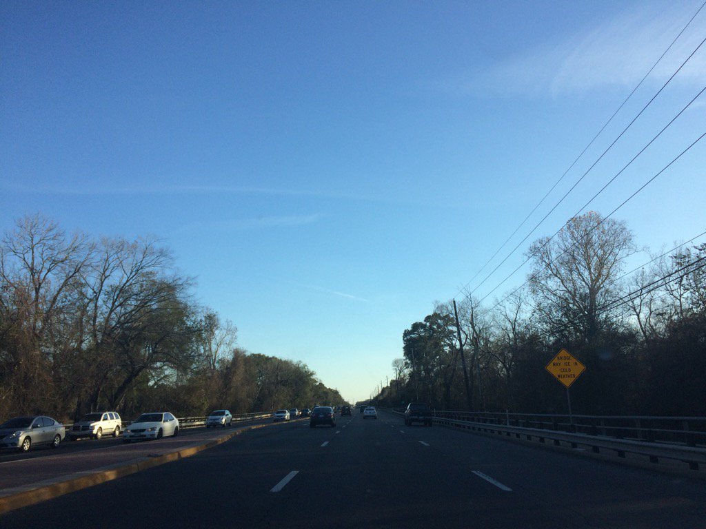
Highway 6 N, west Houston, TX during the late afternoon.
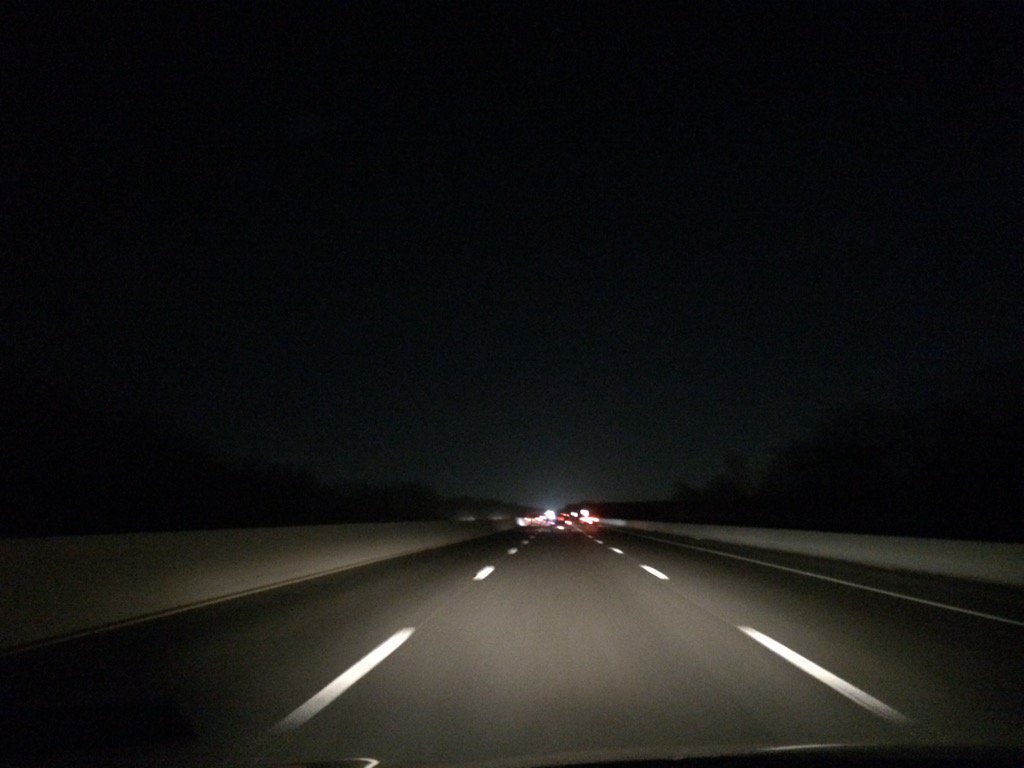
Highway 6 N, west Houston, TX during the early night.
Notes: The sky looked to be mostly clear with only a few big to small, bright white, thick and thin, flat, wavy, high stratus clouds scattered across the sky in northwest Houston, TX during the morning, afternoon, and maybe early night. The sky looked to be mostly clear with only a few big to small, bright white, thick and thin, flat, wavy, high stratus clouds scattered across the sky in west Houston, TX and Katy, TX during the late afternoon, evening, and early night. The wind speeds looked to be relatively calm with moderate gusts and maybe some moderately strong gusts in northwest Houston, TX during the morning, afternoon, and maybe early night. The wind speeds looked to be calm with maybe some moderate to moderately strong gusts in west Houston, TX and Katy, TX during the late afternoon, evening, and early night. It felt freezing in northwest Houston, TX during the early and mid-morning. It felt very cold in northwest Houston, TX during the late morning and early afternoon. It felt cold, almost cool in northwest Houston, TX during the mid-afternoon. It felt cold, almost cool in northwest, west, and Katy, TX during the late afternoon. It felt cold, almost cool in west Houston, TX and Katy, TX during the evening. It felt cool, almost cold in northwest and west Houston, TX and Katy, TX during the early night. I didn't see, feel, or hear about any rain anywhere in, or near Houston, or Katy, TX during the morning, afternoon, evening, or night.
Thoughts: The last day of winter storm Helena and her cold weather. I am looking forward to some warmer temperatures. It might even get into the 80's sometime mid to late this week. I wonder if this is the last cold snap that Houston, TX will get this winter season.
Hazardous Weather Outlook
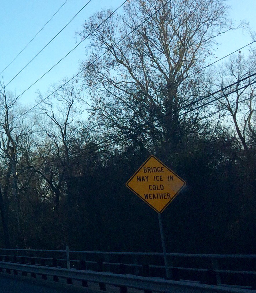
HAZARDOUS WEATHER OUTLOOK
NATIONAL WEATHER SERVICE HOUSTON/GALVESTON TX
330 AM CST SUN JAN 8 2017

TXZ163-164-176>179-195>200-210>214-226-227-235>237-090930-
AUSTIN-BRAZORIA-BRAZOS-BURLESON-CHAMBERS-COLORADO-FORT BEND-
GRIMES-HARRIS-HOUSTON-JACKSON-LIBERTY-MADISON-MATAGORDA-
MONTGOMERY-POLK-SAN JACINTO-TRINITY-WALKER-WALLER-WASHINGTON-
WHARTON-
330 AM CST SUN JAN 8 2017

THIS HAZARDOUS WEATHER OUTLOOK IS FOR PORTIONS OF SOUTHEAST TEXAS.

.DAY ONE...TODAY AND TONIGHT

HARD FREEZE WARNING THIS UNTIL 9 AM THIS MORNING. SENSITIVE
VEGETATION AND EXPOSED PIPES WILL BE THE MAIN CONCERN.

.DAYS TWO THROUGH SEVEN...MONDAY THROUGH SATURDAY

WELL ABOVE NORMAL TEMPERATURES ON TAP THIS WEEK. SEA FOG MAY
RETURN TO THE COAST TUESDAY NIGHT THROUGH FRIDAY INTERMITTENTLY. A
COLD FRONT WILL LIKELY BRING STORMY WEATHER WITH WIDESPREAD
RAINFALL LATE SATURDAY OR SUNDAY.

.SPOTTER INFORMATION STATEMENT...

SPOTTER ACTIVATION WILL NOT BE NEEDED.

$$
No comments:
Post a Comment